The best hikes from bus stations around Białogard
4.7
(7)
105
hikers
22
hikes
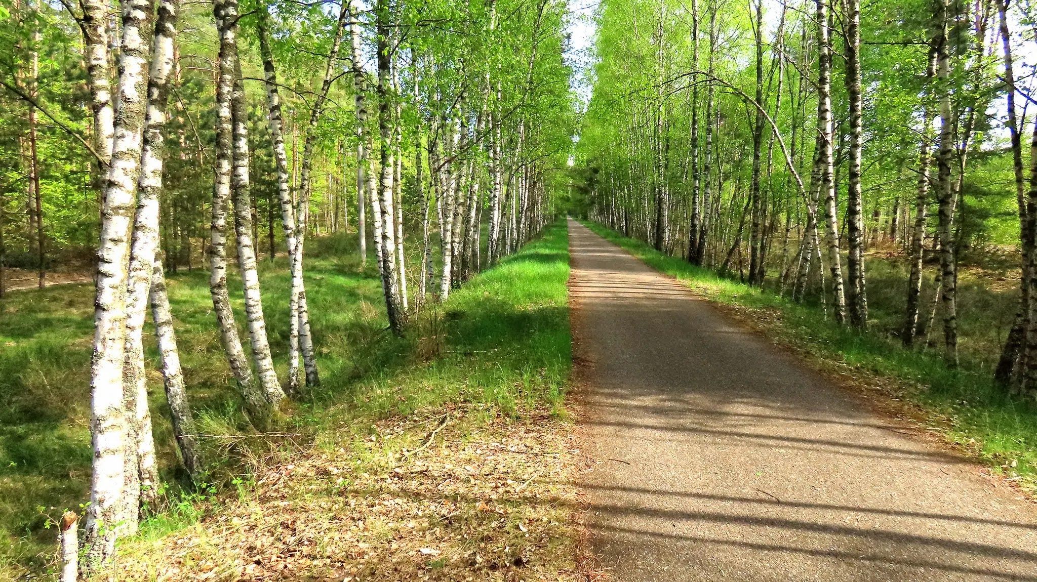
Bus station hiking trails around Białogard are situated on the Białogard Plain, characterized by generally flat or gently rolling terrain shaped by the last Baltic glaciation. The region features significant river valleys, including the Parsęta and Radew, which create scenic routes. Extensive forest complexes, predominantly southwest of the district, consist mainly of pine and spruce, with deciduous sections of beech, oak, alder, and birch. Klępino Hill, at 85 meters, offers a slight elevation within the area's topography.
Best bus station…
Last updated: July 10, 2026
5.0
(2)
10
hikers
10.7km
02:42
20m
20m
Moderate hike. Good fitness required. Easily-accessible paths. Suitable for all skill levels.
6
hikers
4.10km
01:02
10m
10m
Easy hike. Great for any fitness level. Easily-accessible paths. Suitable for all skill levels.

Sign up for free
6
hikers
7.63km
01:56
20m
20m
Easy hike. Great for any fitness level. Easily-accessible paths. Suitable for all skill levels.
5
hikers
4.52km
01:09
10m
10m
Easy hike. Great for any fitness level. Easily-accessible paths. Suitable for all skill levels.
4.0
(1)
6
hikers
5.17km
01:18
10m
10m
Easy hike. Great for any fitness level. Easily-accessible paths. Suitable for all skill levels.
Get access to more routes and recommendations from other explorers.
Sign up for free
Already have an account?
Our route recommendations are based on thousands of hikes, rides, and runs completed by other people on komoot.
Start today with a free account
Your next adventure awaits.
Login or Signup


Tips from the Community

The building was constructed between 1857 and 1860. The station was built using the traditional half-timbered method.
3
0

A path along Leśnica connecting the city center with the stadium.
1
1
The building of the so-called "Old Town Hall". It was the fourth town hall of Białogard. The building was originally built for the merchant Moses Behrendt in 1826. Since the town hall that existed at that time was in danger of collapsing, it had to be demolished, and the city bought this private tenement house and moved the officials there. The building served as a town hall in the years 1847-1926. In 1926, another (fifth) town hall was built. Currently, the "Old Town Hall" houses the Wedding Palace, and the neighboring tenement house (purchased by the city as the mayor's apartment) houses a museum.
0
1
The station building, constructed using traditional half-timbered technology, was built in the years 1857-1860 during the construction of the Szczecin - Gdańsk railway line.
1
1


763 soldiers of the 1st Belorussian Front are buried here, who died during World War II in March 1945. Before the war, there was an evangelical cemetery here. The monument was erected in 1970, and the inscription on the monument reads "Wiećna sława gerojam", or "Eternal glory to the heroes".
2
0
The Old Town Hall building was the seat of the Regional Museum in the years 1926-1952. After the museum was closed down, it was designated for municipal housing until 1998. After a thorough revitalization, from 25.10.2004 it became the seat of the museum and the Wedding Palace.
0
0
Path along the Liśnica River.
1
0
Frequently Asked Questions
How many hiking trails are accessible from bus stations in Białogard?
There are 17 hiking trails around Białogard that are easily accessible from bus stations. The majority of these, 16 routes, are rated as easy, making them suitable for most hikers.
Are there any easy, family-friendly hikes near Białogard bus stations?
Yes, Białogard offers many easy, family-friendly options. The White Eagle Park loop from Białogard is a great choice, offering tranquil scenery and two ponds over 4.1 kilometers. Another excellent option is the White Eagle Park – Altstadt Bialogard loop from Białogard, which is 4.5 kilometers long and also rated easy.
What kind of landscapes can I expect on hikes around Białogard?
Hikes around Białogard showcase the diverse natural landscapes of the Białogard Plain. You'll encounter picturesque river valleys along the Parsęta and Radew rivers, extensive forest complexes with pine, spruce, beech, and oak trees, and open plains. The terrain is generally flat or gently rolling, making for pleasant walking.
Are there any longer, more challenging routes available from Białogard bus stations?
While most routes are easy, there is one moderate trail available. The McDonald's Wałcz loop from Białogard is 11.38 kilometers long and offers a slightly more extended experience for those looking for a moderate challenge.
What natural attractions or landmarks can I see along the hiking trails?
Many trails feature beautiful natural attractions. You can explore the White Eagle Park with its ponds, or visit the Leon Mroczkiewicz Park. The Confluence of the Radew and Parsęta Rivers is another scenic spot. For unique flora, consider the Arboretum on Kolobrzeska Street, known for its rare tree species.
Are there any circular hiking routes accessible from Białogard bus stations?
Yes, many of the routes are circular, offering convenient starting and ending points near bus stations. Examples include the Hiking loop from Białogard (5.17 km) and the White Eagle Park – Białogard railway station loop from Białogard (5.61 km).
What do other hikers say about the trails around Białogard?
The hiking trails around Białogard are highly regarded by the komoot community, with an average rating of 4.5 out of 5 stars. Reviewers often praise the accessibility of the trails, the tranquil forest paths, and the scenic river views, making them enjoyable for various fitness levels.
Can I find any historical sites or castles near the hiking routes?
Yes, the region has several historical sites. While not directly on every bus station trail, you can find nearby castles and palaces. Notable examples include the Ruins of Dobrowo Palace, Lubiechowo Palace, and Nosowo Palace, which can be explored as extensions to your hiking trips.
Are the trails suitable for dog walking?
Many of the trails in Białogard, particularly those through forests and parks like White Eagle Park, are generally suitable for dogs. It's always recommended to keep dogs on a leash and be mindful of local regulations and other trail users.
Is there any elevation gain on the trails, or are they mostly flat?
The trails around Białogard are predominantly flat or feature only gentle rolling terrain, characteristic of the Białogard Plain. While there are no significant mountains, you might encounter slight elevation changes, such as those around Klępino Hill (85m), which offers some topographical variation.
What is the Karlino–Gościno Rail Trail, and is it accessible from Białogard?
The Karlino–Gościno Rail Trail is an asphalt cycleway built on a former narrow-gauge railway line. It offers scenic views of the Parsęta River and is part of the Old Railway Trail. While not directly starting from Białogard bus station, it's a significant regional trail that can be accessed via public transport connections or as part of a longer route planning.
Most popular routes around Białogard
Most popular attractions around Białogard

Get inspired with the komoot mobile app


Explore more
Browse the best Hikes in other regions.
