The best walks and hikes around Salandra
4.5
(7)
21
hikers
5
hikes
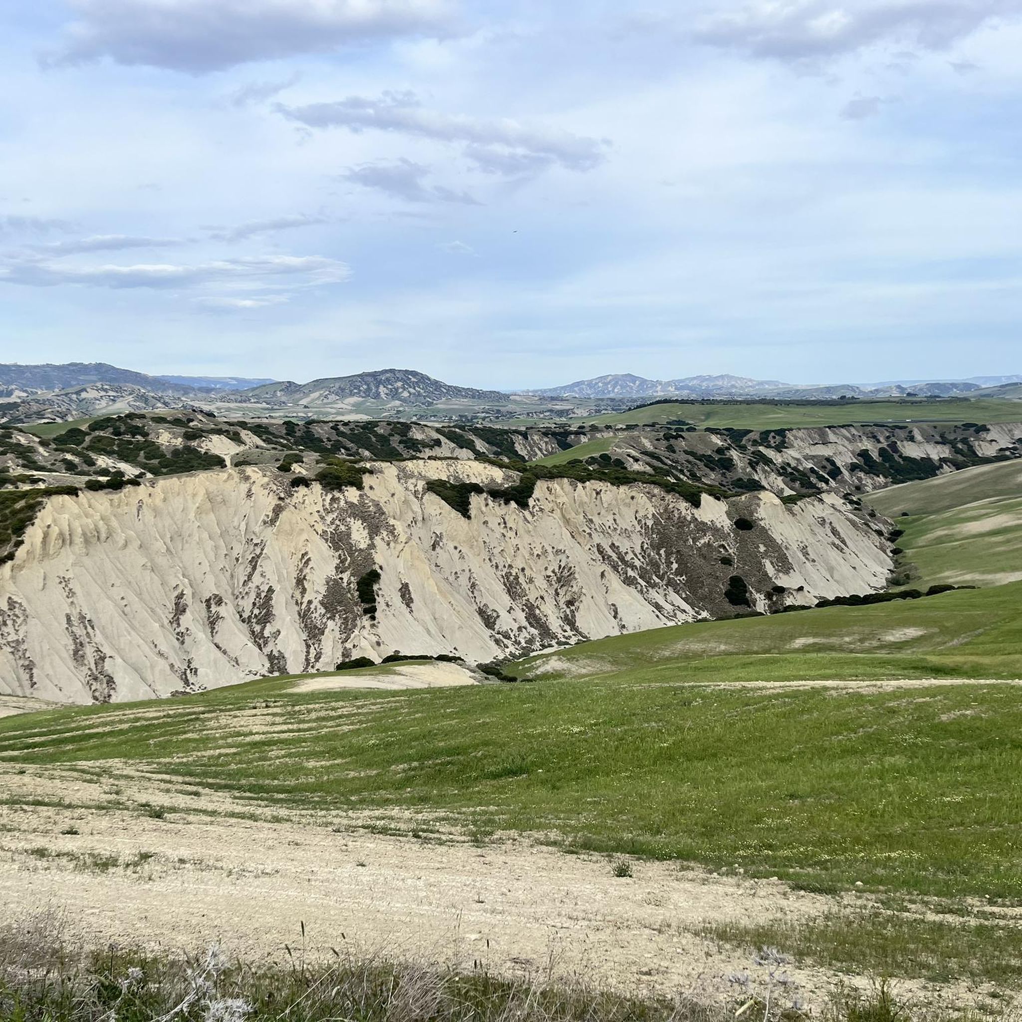
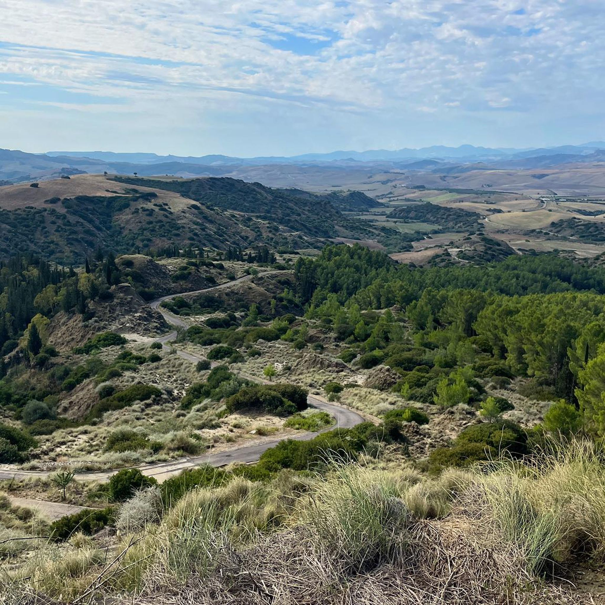
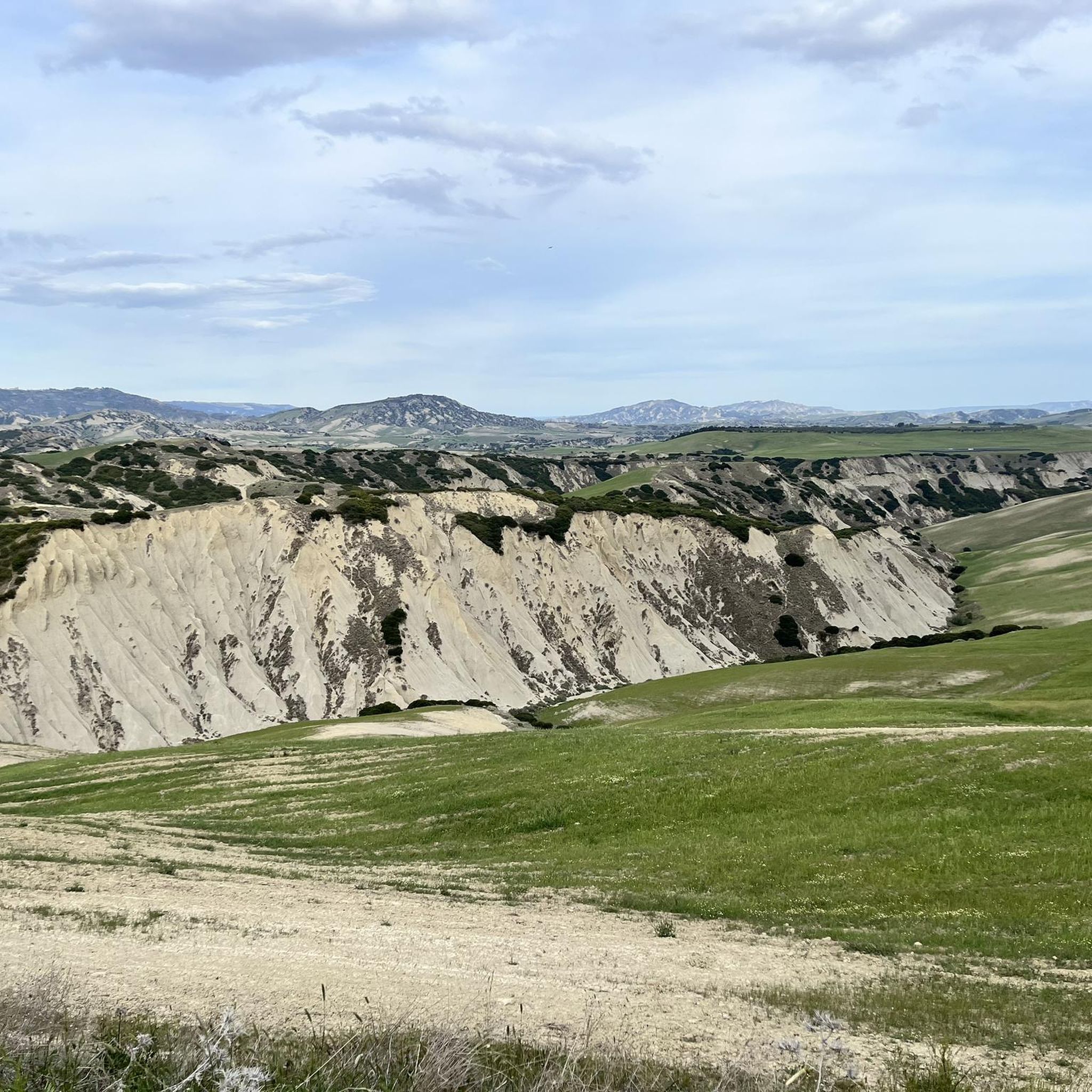
Hiking trails around Salandra, located in the province of Matera, Basilicata, Italy, traverse a diverse and striking natural landscape. The region features varied terrain, including the chestnut forests of Bosco della Salandra and paths along the Basento River. Hikers can explore the Salandrella valley with its distinctive clay overhangs, as well as expansive areas of trees, olive groves, and orchards. This environment provides a range of experiences, from river trails to routes through agricultural and forested lands.
Best hiking trails…
Last updated: July 1, 2026
5.0
(2)
11
hikers
29.4km
09:00
1,000m
1,000m
Hard hike. Very good fitness required. Easily-accessible paths. Suitable for all skill levels.
4.0
(3)
3
hikers
9.36km
02:48
270m
270m
Moderate hike. Good fitness required. Easily-accessible paths. Suitable for all skill levels.

Sign up for free
5.0
(1)
2
hikers
9.89km
03:11
410m
410m
Moderate hike. Good fitness required. Easily-accessible paths. Suitable for all skill levels.
3
hikers
Easy hike. Great for any fitness level. Easily-accessible paths. Suitable for all skill levels.
4.0
(1)
2
hikers
14.8km
04:12
330m
330m
Moderate hike. Good fitness required. Easily-accessible paths. Suitable for all skill levels.
Our route recommendations are based on thousands of hikes, rides, and runs completed by other people on komoot.
Start today with a free account
Your next adventure awaits.
Login or Signup
Popular around Salandra
Tips from the Community


It is a really tiny town, one of the smallest in Basilicata. It is located in the park of the small Lucanian dolomites and is surrounded by nature. Around the old part of the city there is a small stone road which makes it possible to circumnavigate the village.
1
0
Located about 40 kilometers from Matera, Grassano is a beautiful village with medieval characteristics with its exposed stone buildings. The church of San Giovanni Battista is very beautiful.
1
0
Oliveto Lucano is an Italian town of 386 inhabitants [1] in the province of Matera in Basilicata. It is located on a small hill surrounded by olive plantations and is located within the Natural Park of Gallipoli Cognato - Piccole Dolomiti Lucane. The small town rises at the foot of Mount Croccia, where there is an important archaeological area where there is the megalithic complex called Petre de la Mola, located in an area rich in woods. The town is located at 546 m a.s.l. in the north-western part of the province and borders to the north with the municipality of Calciano (13 km), to the east with Garaguso (7 km), to the south with San Mauro Forte (15 km) and to the west with Accettura (12 km). It is 66 km from Matera and 49 km from the regional capital Potenza. It is part of the Medio Basento Mountain Community. In Oliveto Lucano, as in other towns in the interior of Basilicata, there is the May feast [4], an ancient arboreal rite of pagan origins inserted in the religious feast of San Cipriano, protector of Oliveto. The Maggio is the trunk of a Turkey oak tree, which is felled on the first Sunday of August, leafless and pulled into the village on August 10, the day of the start of the patronal feast, to the sound of bagpipes and accordions. On that same day, still in the woods surrounding Oliveto Lucano, a holly top is cut down, and it is carried on the back to the village between songs and dances. The Maggio (the groom) and the Cima (the bride) enter the town at dusk, and on August 12, the day of the San Cipriano procession, the Cima is grafted onto the Maggio and together they are erected in the town square.
0
0
Frequently Asked Questions
How many hiking trails are available around Salandra?
There are 4 hiking trails around Salandra, offering a variety of experiences from moderate to difficult. These routes allow you to explore the diverse landscapes of the Basilicata region.
What kind of terrain can I expect on hikes around Salandra?
The terrain around Salandra is quite varied. You can expect to find lush chestnut forests like the Bosco della Salandra, river valleys along the Basento River, and unique geological formations such as the clay overhangs in the Salandrella Valley. Some areas also feature expansive olive groves and orchards.
What do other hikers say about the trails in Salandra?
The hiking trails around Salandra are highly rated by the komoot community, with an average score of 4.5 stars. Hikers often appreciate the natural beauty and varied landscapes that make each route a unique experience.
Are there any challenging hikes in Salandra?
Yes, for experienced hikers looking for a challenge, the Grassano Historic Center – Grassano Historical Center loop from Cinti is a difficult route covering nearly 30 km with almost 1000 meters of elevation gain.
Are there any circular hiking routes in Salandra?
Yes, all the listed routes around Salandra are circular. For example, the Oliveto Lucano Village loop from Oliveto Lucano is a moderate 9.9 km loop, and the Water Pipeline – Masseria Bufalara Junction loop from La Cornaleta is a moderate 14.8 km option.
What natural attractions can I see while hiking near Salandra?
While hiking near Salandra, you can discover several natural attractions. These include the unique rock formations of Petre de la Mola, the serene San Giuliano Lake Nature Reserve, and the distinctive Salandrella Valley with its clay overhangs. You might also encounter the impressive Rock Formations of the Piccole Dolomiti Lucane.
Are there any historical or cultural points of interest near the hiking trails?
Yes, beyond the natural beauty, you can explore cultural sites. The Historic Center of Grottole, Garaguso Village, San Mauro Forte, and Ferrandina are all nearby settlements offering a glimpse into the region's heritage.
Are the trails around Salandra suitable for families?
While specific family-friendly trails are not detailed, the region's varied terrain, including the Basento River nature trail and the Bosco della Salandra, offers diverse environments. Many moderate routes, like the Oliveto Lucano Village loop, could be suitable for families with some hiking experience.
Can I bring my dog on the hiking trails in Salandra?
Generally, dogs are welcome on many outdoor trails in Italy, especially in natural areas. However, it's always advisable to keep them on a leash and be mindful of local regulations, especially in nature reserves or protected areas. Always carry water for your dog and clean up after them.
Are there any trails that follow a river or offer water features?
Yes, the Basento River flows through the region and features a dedicated nature trail along its course, offering opportunities to hike alongside water. Additionally, the San Giuliano Lake Nature Reserve provides a beautiful setting with water features.
What is the best time of year to hike in Salandra?
The best time to hike in Salandra is typically during the spring (April to June) and autumn (September to October) months. During these periods, the weather is generally mild and pleasant, making for comfortable hiking conditions. Summers can be quite hot, while winters might bring cooler temperatures and occasional rain.
Where can I find parking for the hiking trails around Salandra?
Parking availability varies by trailhead. For routes starting from villages like Oliveto Lucano or Grassano, you can often find parking in or near the village centers. For more remote trailheads, it's best to check specific route details on komoot or local signage for designated parking areas.
Most popular attractions around Salandra

Get inspired with the komoot mobile app


Explore more
Browse the best Hikes in other regions.
