The best walks and hikes around Michelsneukirchen
4.5
(418)
1,662
hikers
40
hikes
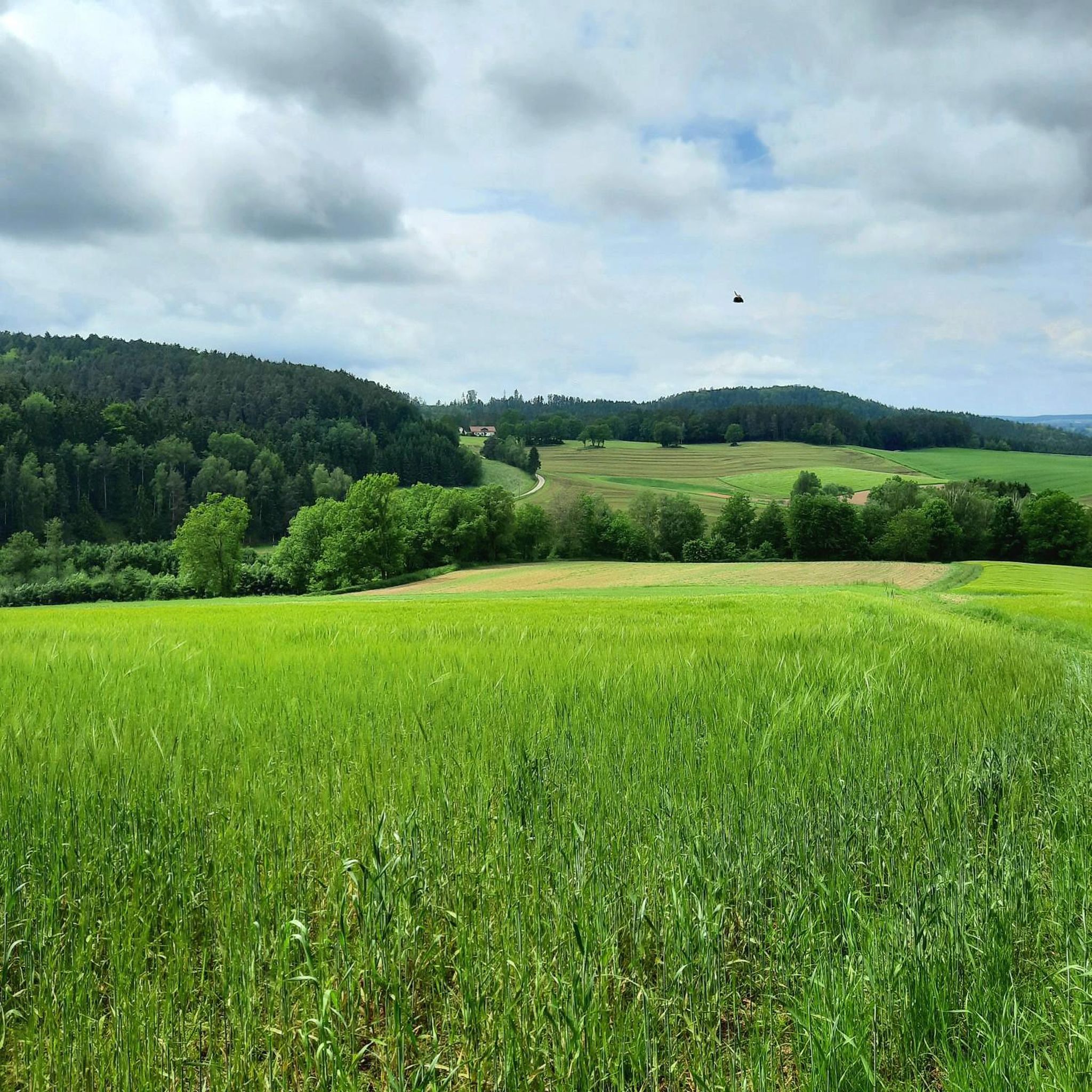
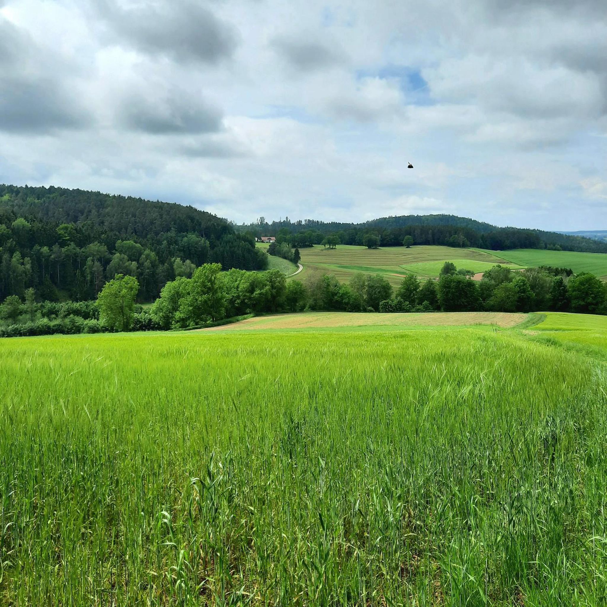
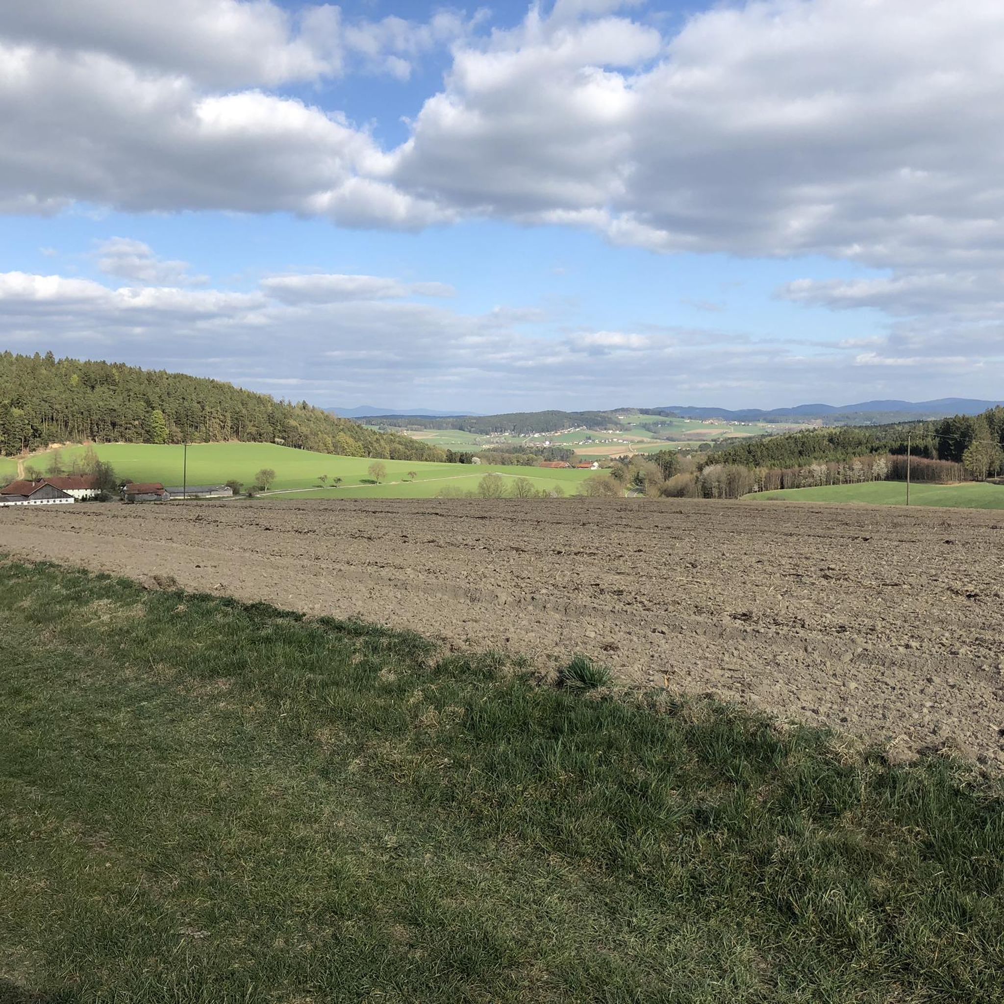
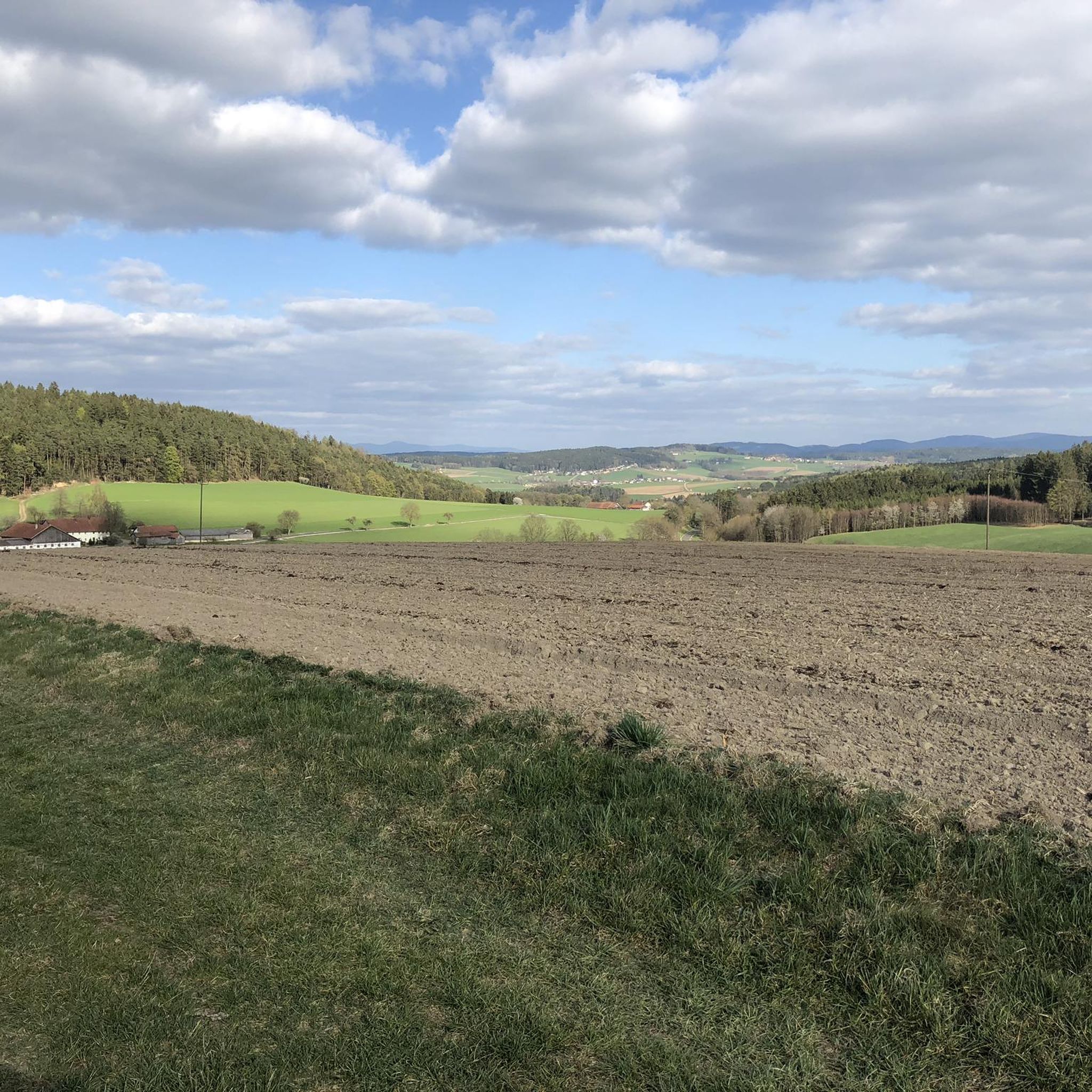
Hiking around Michelsneukirchen offers varied outdoor experiences within the Vorderer Bayerischer Wald. The region features an alternating hilly landscape and a wooded environment, providing diverse terrain for exploration. Key natural highlights include the wild Höllbachtal Nature Reserve with its rocky forest gorge and numerous impressive rock formations like the Schwammerlfelsen. Hikers can also discover natural streams, small waterfalls, and panoramic views of the Bavarian Forest from various points.
Best hiking trails around Michelsneukirchen
- The most popular hiking route is Marian…
Last updated: July 5, 2026
4.7
(27)
65
hikers
Easy hike. Great for any fitness level. Easily-accessible paths. Suitable for all skill levels.
4.5
(4)
15
hikers
Hard hike. Very good fitness required. Sure-footedness, sturdy shoes and alpine experience required.

Sign up for free
5.0
(3)
11
hikers
7.70km
02:14
200m
200m
Moderate hike. Good fitness required. Easily-accessible paths. Suitable for all skill levels.
4.3
(6)
16
hikers
7.71km
02:10
160m
160m
Moderate hike. Good fitness required. Easily-accessible paths. Suitable for all skill levels.
4.7
(6)
13
hikers
Moderate hike. Good fitness required. Easily-accessible paths. Suitable for all skill levels.
Get access to more routes and recommendations from other explorers.
Sign up for free
Already have an account?
Our route recommendations are based on thousands of hikes, rides, and runs completed by other people on komoot.
Start today with a free account
Your next adventure awaits.
Login or Signup

Tips from the Community

A very interesting rock formation, definitely worth a visit.
0
0

Very beautiful in autumn when the trees are golden.
0
1

Great place, in some places you can still see castle walls.
0
0
Very beautiful church adjacent to a pub
0
0

Nice place to come back
0
1
Frequently Asked Questions
Are there family-friendly hiking trails in Michelsneukirchen?
Yes, Michelsneukirchen offers several easy trails suitable for families. For instance, the Marian grotto beneath the rock – Schwammerlstein (Mushroom Rock) loop from Dörfling is a shorter, 3.1 km route that takes less than an hour and passes interesting rock formations. The region's varied terrain and natural features like the grotto and Schwammerlfelsen make for engaging walks for all ages.
Can I bring my dog on the hiking trails around Michelsneukirchen?
Most hiking trails in Michelsneukirchen are dog-friendly, offering a mix of wooded paths and open landscapes for you and your canine companion to explore. It's always recommended to keep dogs on a leash, especially in nature reserves like the Höllbachtal, and to be mindful of local wildlife and other hikers.
Are there many circular hiking routes available in the area?
Michelsneukirchen is known for its extensive network of circular hiking trails. Many routes are designed as loops, allowing you to start and end in the same location. An example is the Marian grotto beneath the rock – Church in Dörfling loop from Dörfling, which covers 7.5 km through varied terrain and local landmarks.
Which hikes feature waterfalls or natural streams?
The region boasts beautiful water features. The Höllbach Valley (Hölle) Nature Reserve is a wild and romantic rocky forest gorge where the Höllbach stream winds through numerous rocks. You can also find a small waterfall on the way to Ponholz, accessible via local hiking trails, and a charming valley near Kohlmühl with natural streams and waterfalls.
Where can I find hikes with panoramic views of the Bavarian Forest?
For stunning vistas, consider routes that pass through areas like Elend and Noth, which offer beautiful views of the Bavarian Forest, including distant sights like the Hohen Bogen and the Cerchov. The Panoramaweg to Ponholz is also noted for its expansive views of the Bavarian Forest mountains.
What are the notable rock formations I can see on a hike?
Michelsneukirchen is rich in impressive rock formations. The well-known Schwammerlfelsen (Mushroom Rock) is a highlight, often included in circular routes. You can also explore the Hölltal Rock Formations, which combine water and rocks for a picturesque scene, and the 'Schlupfsteine' at Ronberg near Guthof.
Are there any longer or more challenging hikes for experienced trekkers?
Yes, for those seeking a greater challenge, there are longer and more difficult options. The Schwammerlstein (Mushroom Rock) – Sengersberg Castle Ruins loop from Schwaighof is an 18.2 km difficult path that navigates through wooded hills and offers views of the landscape, including castle ruins. More ambitious hikers can also connect to trails leading to summits like Predigtstuhl (1024 m) and Knogl (1056 m).
What do other hikers enjoy most about hiking in Michelsneukirchen?
The hiking routes in Michelsneukirchen are highly rated by the komoot community, with an average score of 4.5 stars from over 400 reviews. Reviewers often praise the alternating hilly landscape, dense woodlands, and unique rock formations, as well as the well-developed and signposted network of trails that cater to various fitness levels.
Are there any historical landmarks or castles to explore nearby?
Yes, the region around Michelsneukirchen features several historical sites. You can find castle ruins such as Sengersberg Castle Ruins, which is part of a longer hiking loop, or explore other nearby castles like Brennberg Castle and Lobenstein Castle Ruins, offering glimpses into the area's past.
What is the best time of year to go hiking in Michelsneukirchen?
Michelsneukirchen offers hiking opportunities throughout much of the year. Spring and autumn provide pleasant temperatures and vibrant natural colors, while summer is ideal for enjoying the full greenery and longer daylight hours. In winter, the area transforms, offering scenic routes for cross-country skiing, though some hiking trails may be less accessible depending on snow conditions.
Are there options for public transport to reach hiking trailheads?
While specific public transport connections to every trailhead might be limited, Michelsneukirchen is a municipality within a well-developed region. It's advisable to check local bus schedules or regional transport options for connections to the main village or larger towns nearby, from where many trails are accessible.
Are there designated parking areas for hikers?
Yes, many popular hiking trailheads and points of interest in and around Michelsneukirchen, especially those leading to well-known features like the Schwammerlfelsen or within the Höllbachtal Nature Reserve, typically have designated parking areas for visitors. It's always a good idea to check local signage upon arrival.
Most popular routes around Michelsneukirchen
Most popular attractions around Michelsneukirchen

Get inspired with the komoot mobile app


Explore more
Browse the best Hikes in other regions.
