The best MTB trails around Miesitz
4.6
(157)
341
riders
102
rides
Mountain biking around Miesitz offers diverse terrain within Germany's Saale-Orla district. The region features rolling hills, dense forests, and clear rivers, providing varied landscapes for cyclists. Situated on the edge of the Thuringian Forest and the Orlatal valley, Miesitz presents a network of trails suitable for different skill levels. The natural environment includes both challenging climbs and scenic descents, making it an appealing destination for outdoor enthusiasts.
Best mountain bike trails around Miesitz
- The most popular mountain bike trail is…
Last updated: October 12, 2026
4.7
(6)
7
riders
44.9km
03:42
720m
720m
Moderate mountain bike ride. Good fitness required. Advanced riding skills necessary.
5.0
(3)
8
riders
35.9km
02:20
370m
370m
Moderate mountain bike ride. Good fitness required. Suitable for all skill levels.

3.0
(2)
8
riders
31.7km
02:15
320m
320m
Moderate mountain bike ride. Good fitness required. Advanced riding skills necessary.
4.0
(2)
4
riders
47.3km
03:57
680m
680m
Moderate mountain bike ride. Good fitness required. Advanced riding skills necessary.
4.5
(4)
13
riders
53.0km
03:13
440m
440m
Moderate mountain bike ride. Good fitness required. Suitable for all skill levels.
Get access to more routes and recommendations from other explorers.
Already have an account?
Our route recommendations are based on thousands of hikes, rides, and runs completed by other people on komoot.
Start today with a free account
Your next adventure awaits.
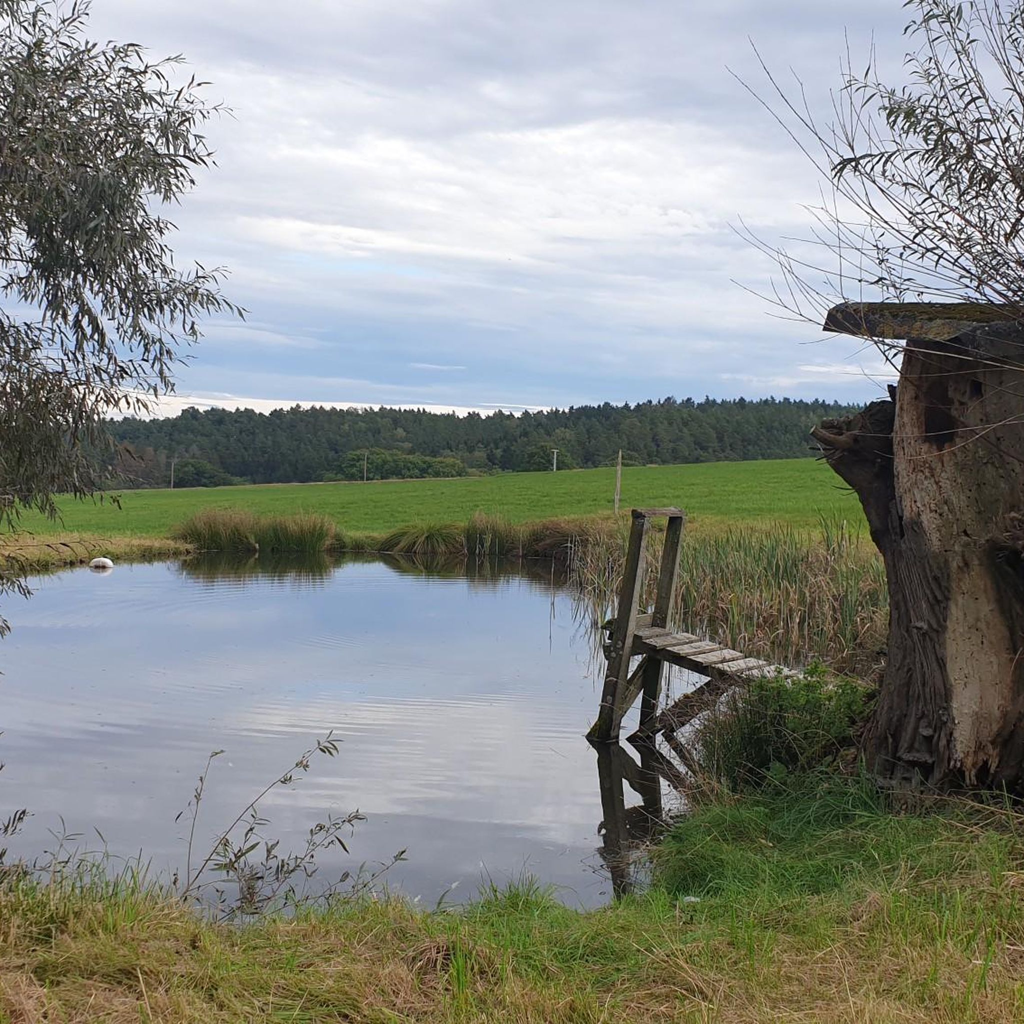
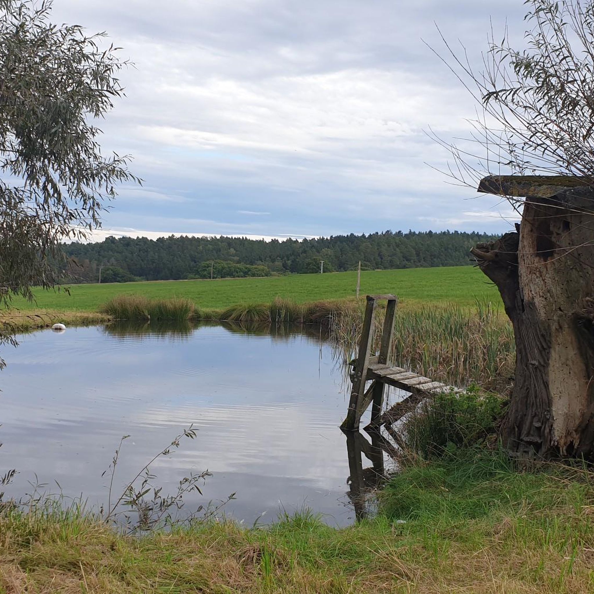
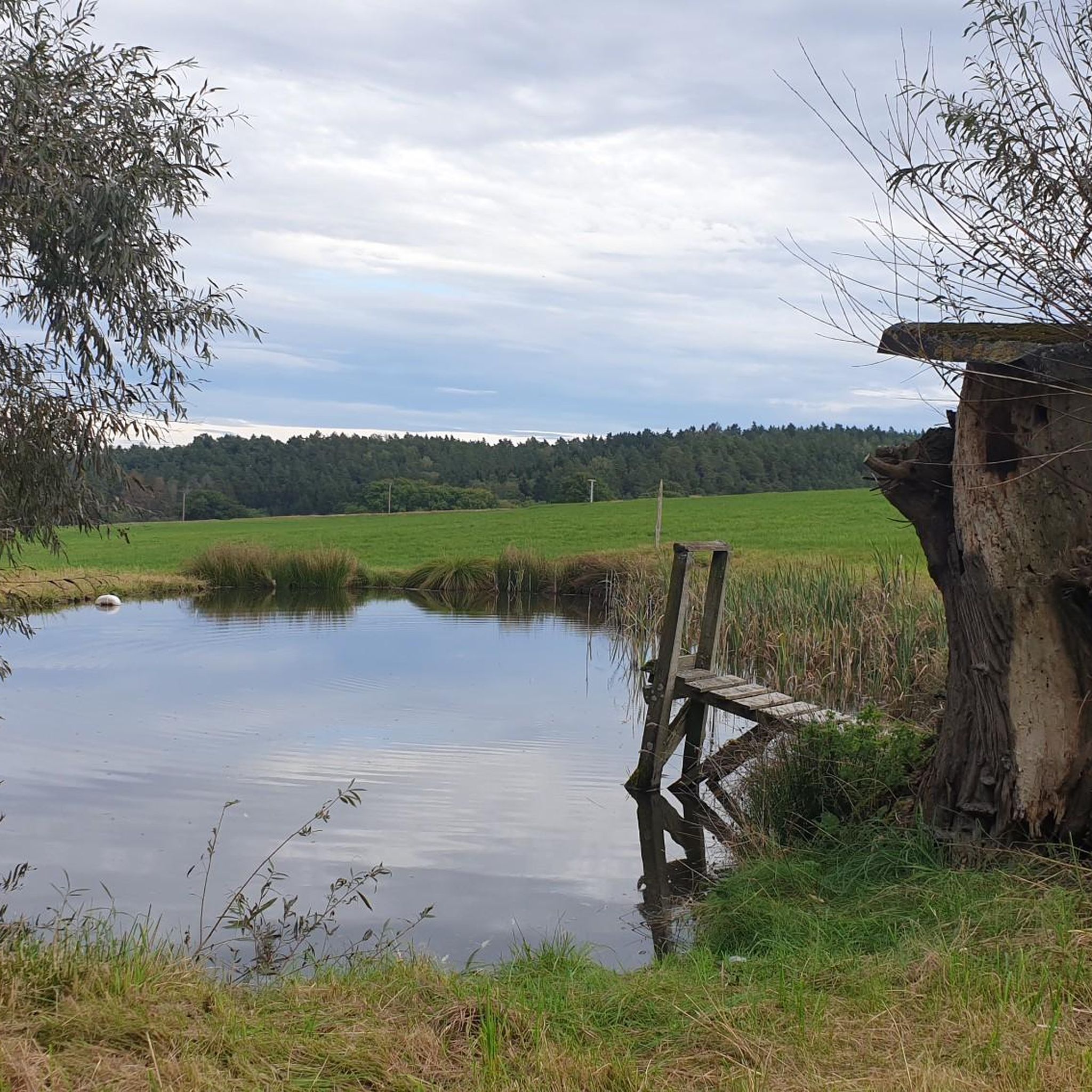
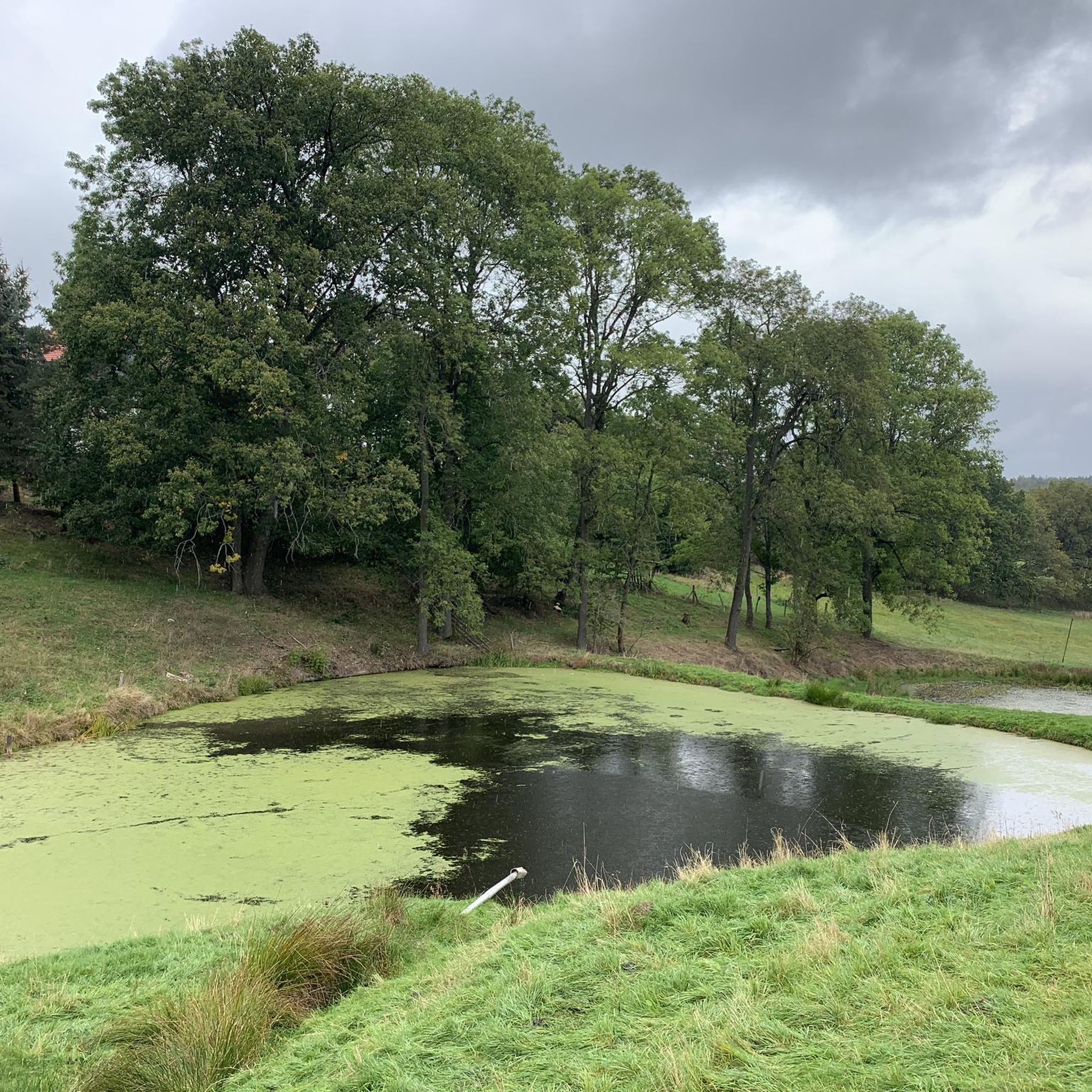

Tips from the Community

Unfortunately, you can no longer visit the Eisenhammer. The current owner has closed everything and it looks neglected.
0
0
an ancient bridge on which traffic between Schömberg and Weida flows in a single lane.
0
0

In bad weather 🌡️ it is not recommended, as there is a lot of mud. 😁 Otherwise, only the source stone was visible and lots of small streams. 😁
0
0

The loop around the reservoir is relatively short, only 3 km, although Komoot indicated around 5 km during planning. But nice.
0
0

Great trail. 👍 Be careful in wet weather, though: slippery
0
0

There is also a source here.
2
0
A trip is definitely worth it.
2
0

Ideal starting point for the Aumatalsperre
1
0
Frequently Asked Questions
How many mountain bike trails are available around Miesitz?
There are over 100 mountain bike trails around Miesitz, offering a wide variety of options for different skill levels. The region features 31 easy, 81 moderate, and 5 difficult routes.
What kind of terrain can I expect on mountain bike trails near Miesitz?
The terrain around Miesitz is characterized by picturesque rolling hills, dense forests, and clear rivers, situated on the edge of the Thuringian Forest and the Orlatal valley. You'll encounter a mix of climbs and descents, providing diverse riding experiences.
Are there any family-friendly mountain bike trails in Miesitz?
Yes, Miesitz offers 31 easy mountain bike trails that are suitable for families. These routes typically feature gentler gradients and less technical sections, allowing for an enjoyable experience for all ages. While specific family-designated routes aren't listed, the easy trails are a great starting point.
What is the best time of year for mountain biking in Miesitz?
The summer months are particularly suitable for mountain biking in Miesitz, allowing visitors to fully enjoy the beautiful surroundings. The clear rivers and dense forests are especially inviting during this period.
Are there any challenging mountain bike trails for experienced riders?
For experienced riders seeking a challenge, Miesitz offers 5 difficult mountain bike trails. These routes will test your skills with more demanding climbs, descents, and technical sections, often winding through the more rugged parts of the Thuringian Forest's edge.
What do other mountain bikers enjoy most about the trails in Miesitz?
The mountain bike trails around Miesitz are highly rated by the komoot community, with an average score of 4.7 stars from over 140 reviews. Riders often praise the varied terrain, the scenic beauty of the Orlatal valley, and the immersive experience of riding through dense forests.
Are there any notable landmarks or attractions along the mountain bike routes?
Yes, several routes offer scenic views and pass by interesting points. For example, the Source Area of the Orla – Auma Dam loop from Triptis provides views of the Orlatal valley and the Auma Dam. You can also explore nearby attractions like the Birdwatching Tower Dreba-Plothen Pond Area or various shelters and huts like the Shelter at Fürstenteich.
Are the mountain bike trails around Miesitz typically loop routes?
Many of the mountain bike trails around Miesitz are designed as loop routes, offering a convenient way to start and end your ride at the same point. Examples include the Waldfrieden Shelter – Brehm Museum loop from Triptis and the Source Area of the Orla – Doggenteich (Silbersee) loop from Triptis.
Are there any routes that pass by lakes or water features?
Yes, the region is known for its clear rivers and ponds. The Source Area of the Orla – Doggenteich (Silbersee) loop from Triptis leads towards Doggenteich, also known as Silbersee. Additionally, you can find highlights like the Großer Ruß Pond and the Dockenteich Reservoir in the vicinity.
What is a good moderate-difficulty mountain bike trail to explore the area?
A great moderate-difficulty option is the Calm Lake – Carl Alexander Platz loop from Triptis. This route covers approximately 47.3 km and offers a good balance of distance and elevation gain, showcasing the diverse landscape of the region.
Are there any mountain bike routes that include historical sites or castles?
Yes, you can find routes that incorporate historical elements. For instance, the Oppurg Castle – Rittergut Positz Historic Inn loop from Triptis is a longer route that allows you to cycle past Oppurg Castle and the historic Rittergut Positz.
How long do mountain bike trails around Miesitz typically take to complete?
The duration of mountain bike trails varies significantly based on their length and difficulty. For example, moderate routes like the Source Area of the Orla – Doggenteich (Silbersee) loop from Triptis can be completed in about 2 hours 14 minutes, while longer routes such as the Waldfrieden Shelter – Brehm Museum loop from Triptis might take around 3 hours 43 minutes.
Most popular attractions around Miesitz

Get inspired with the komoot mobile app


Explore more
Browse the best MTB trails in other regions.
