The best traffic-free bike rides around Mesa
4.4
(90)
3,153
riders
14
rides
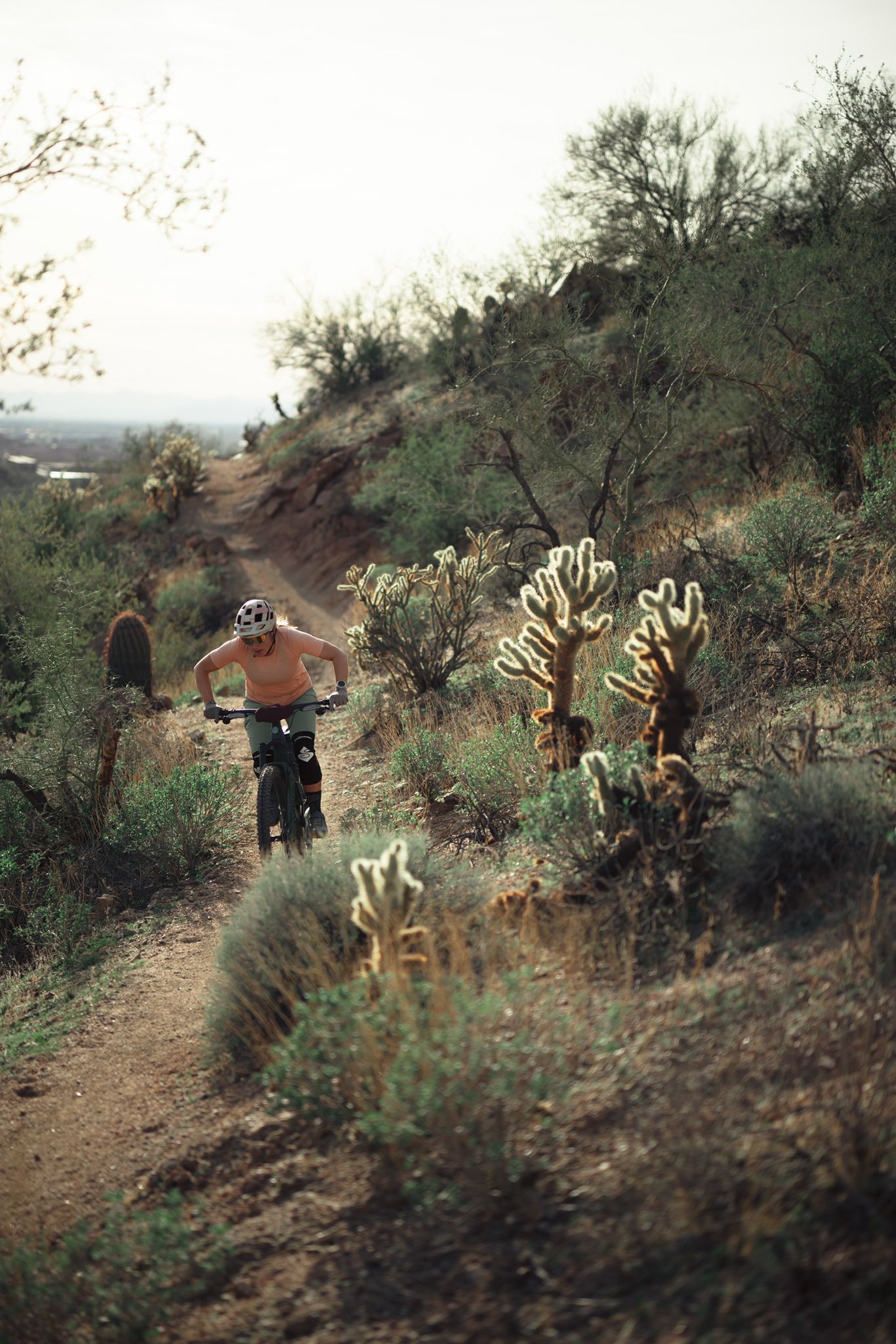
No traffic road cycling routes around Mesa offer diverse terrain within the Sonoran Desert landscape. The region features views of the Superstition Mountains and access to areas like Usery Mountain Regional Park, providing varied elevation changes. Cyclists can also find routes along the Salt River and near desert lakes, offering a mix of desert scenery and riparian environments. The area's infrastructure includes dedicated bike lanes and pathways, making it accessible for road cycling.
Best no traffic road cycling routes around…
Last updated: October 4, 2026
16
riders
19.7km
00:52
200m
200m
Easy road ride. Great for any fitness level. Mostly well-paved surfaces and easy to ride.
9
riders
38.4km
02:13
140m
140m
Moderate road ride. Good fitness required. Some segments of this route may be unpaved and difficult to ride.
5.0
(4)
6
riders
Easy road ride. Great for any fitness level. Mostly well-paved surfaces and easy to ride.
Get access to more routes and recommendations from other explorers.
Already have an account?
Our route recommendations are based on thousands of hikes, rides, and runs completed by other people on komoot.
Start today with a free account
Your next adventure awaits.


Other adventures around Mesa

Tips from the Community

This beautiful 12-acre lake nestled in the park is a favorite fishing destination, stocked with trout, bass, and catfish, among other species. Boating is allowed on the lake; however, swimming is prohibited. The nearby recreation center offers paddle boat rentals, perfect for a lovely day on the water.
0
0

Really useful trail head with water and toilet facilities.
0
0

Kiwanis Park has playgrounds, a lake, sports fields, and a paved trail around the lake. It's a popular spot for families in Tempe and is perfect for a slow ride with the kids.
0
0

This segment just west at the end of East Pima Canyon Road is part of the National Trail also officially named SCT, or Sun Circle Trail. This route is a multi-use path that's 22+ miles. This area is unpaved but paved with dirt and gravel that makes for easy riding when it's dry, which is most of the time out here in Arizona. It's relatively flat and is open to hikers as well.
0
0

The Pima Canyon Trailhead is one of the most popular trailheads for the South Mountain Preserve. There are a bunch of different trails that start/finish in the parking lot (including the National Trail), and there are a bunch of different loop and route options starting from here. There are restrooms, trail maps, and adequate parking at this trailhead.
0
0
Kiwanis Park has playgrounds, a lake, sports fields, and a paved trail around the lake. It's a popular spot for families in Tempe and is perfect for a slow ride with the kids.
0
0
The Pima Canyon Trailhead is one of the busier areas of the South Mountain Preserve. There are a number of trails that start here and head in all directions and there's something for all skill levels as well. With restrooms, water, and posted trail maps you'll have whatever you need to get your ride started right.
0
1
The Pima Canyon Trailhead is one of the most popular trailheads for the South Mountain Preserve. There are a bunch of different trails that start/finish in the parking lot (including the National Trail), and there are a bunch of different loop and route options starting from here. There are restrooms, trail maps, and adequate parking at this trailhead.
0
0
Frequently Asked Questions
How many no-traffic road cycling routes are available in Mesa?
There are 16 dedicated no-traffic road cycling routes around Mesa featured in this guide. These routes offer a mix of easy and moderate rides, allowing you to explore the stunning Sonoran Desert landscape without vehicle interference.
What is the best time of year for no-traffic road cycling in Mesa?
Mesa offers year-round road cycling thanks to its abundant sunshine. However, the warm winters are ideal. During the hotter summer months, it's highly recommended to cycle in the early mornings to avoid the peak heat.
Are there any easy, no-traffic road cycling routes suitable for beginners or families?
Yes, there are 9 easy routes designed for a more relaxed experience. An example is the Kiwanis Park – Kiwanis Lake loop, which is just over 15 km long and features minimal elevation gain, making it perfect for a leisurely ride.
What kind of terrain can I expect on no-traffic road cycling routes in Mesa?
The routes primarily traverse the unique Sonoran Desert landscape, offering views of towering saguaro cacti, rugged mountains like the Superstitions, and sometimes the scenic Salt River. While many routes are flat, some, like those near Usery Mountain Regional Park, can include sustained climbs and rolling terrain.
What natural features or landmarks can I see along these routes?
Many routes offer views of the majestic Superstition Mountains and the Lower Salt River. You might also encounter unique desert flora. For specific points of interest, consider exploring highlights like the Papago Park Red Rock Formations or the Arizona Falls, which are accessible from some cycling areas.
Are there any loop routes for no-traffic road cycling in Mesa?
Yes, many of the no-traffic routes are designed as loops, allowing you to start and end at the same point. An example is the Top of Hawes loop from Power Road Park and Ride, which offers a circular ride of nearly 20 km.
Where can I find parking for these no-traffic road cycling routes?
Many routes start from designated park and ride locations or parks, which typically offer parking facilities. For instance, the Pima Canyon Trailhead – National Trail loop begins from the West Mesa Park and Ride, providing convenient access.
What do other cyclists say about road cycling in Mesa?
The komoot community highly rates road cycling in Mesa, with an average score of 4.42 stars from 70 ratings. Cyclists often praise the stunning desert scenery, the well-maintained paths, and the opportunity to enjoy long rides with minimal traffic.
Are there any longer, more challenging no-traffic road cycling routes?
Yes, for those seeking a greater challenge, there are 7 moderate routes. The Pima Canyon Trailhead – National Trail loop is a moderate option, covering almost 39 km with some elevation gain, offering a more extended ride.
Can I access these no-traffic routes using public transport?
Mesa has a bike and pedestrian program, and while specific public transport connections to every trailhead may vary, the city's extensive bike infrastructure and urban greenways often connect to public transport hubs. It's advisable to check local transit maps for the most direct access to your chosen route's starting point.
What should I bring for a no-traffic road cycling trip in Mesa?
Given the desert climate, always carry plenty of water, especially during warmer months. Sun protection (sunscreen, hat, sunglasses) is essential. A basic repair kit, snacks, and a fully charged phone are also recommended for a safe and enjoyable ride.
Are there any cafes or amenities near the no-traffic road cycling routes?
While some routes might pass through or near urban areas with cafes and shops, many no-traffic routes venture into more natural desert settings where amenities are scarce. It's best to plan ahead and carry what you need, especially for longer rides, or check the route details for nearby facilities.
Most popular routes around Mesa
Most popular attractions around Mesa

Get inspired with the komoot mobile app


Explore more
Browse the best Road cycling routes in other regions.
