The best MTB trails around Mischendorf
4.6
(98)
496
riders
149
rides
Mountain biking around Mischendorf offers diverse terrain across rolling hills, dense forests, and river valleys in Southern Burgenland, Austria. The region's topography includes land rising from approximately 270 meters along the Pinka River to 360 meters to the southwest, with nearly 40% of the area being forested. Proximity to the Geschriebenstein-Írottkő Nature Park provides extensive trails and varied elevation. This landscape supports a range of mountain bike trails suitable for different skill levels.
Best mountain bike trails around Mischendorf
- The…
Last updated: September 2, 2026
4.5
(2)
15
riders
Easy mountain bike ride. Great for any fitness level. Suitable for all skill levels.
5.0
(1)
3
riders
Moderate mountain bike ride. Good fitness required. Advanced riding skills necessary.

Sign up for free
6
riders
28.8km
02:12
460m
460m
Moderate mountain bike ride. Good fitness required. Advanced riding skills necessary.
3
riders
Moderate mountain bike ride. Good fitness required. Suitable for all skill levels.
5.0
(1)
3
riders
Easy mountain bike ride. Great for any fitness level. Suitable for all skill levels.
Get access to more routes and recommendations from other explorers.
Sign up for free
Already have an account?
Our route recommendations are based on thousands of hikes, rides, and runs completed by other people on komoot.
Start today with a free account
Your next adventure awaits.
Login or Signup
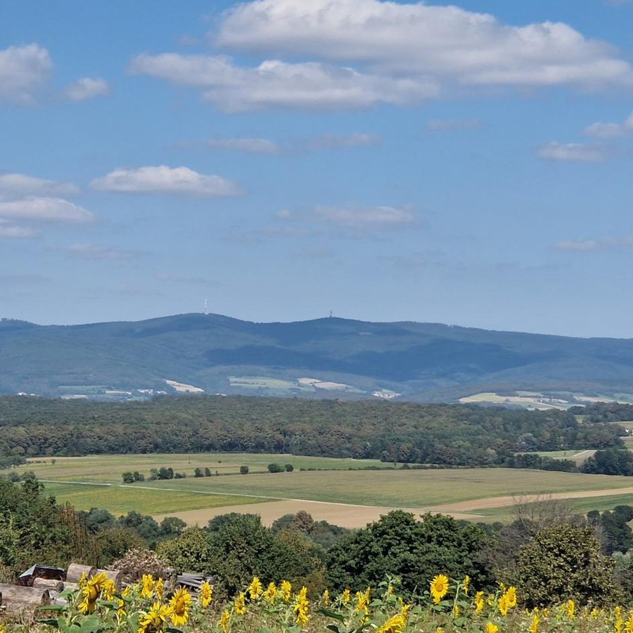
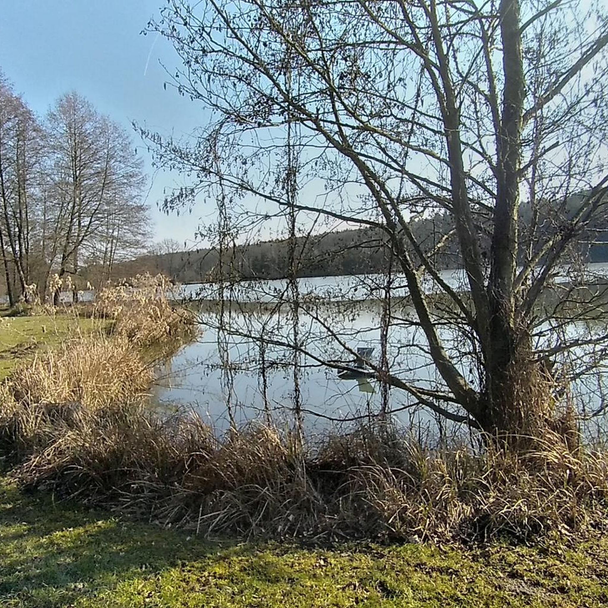
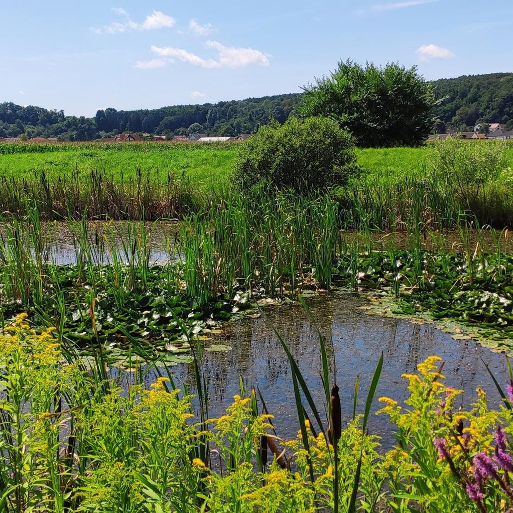
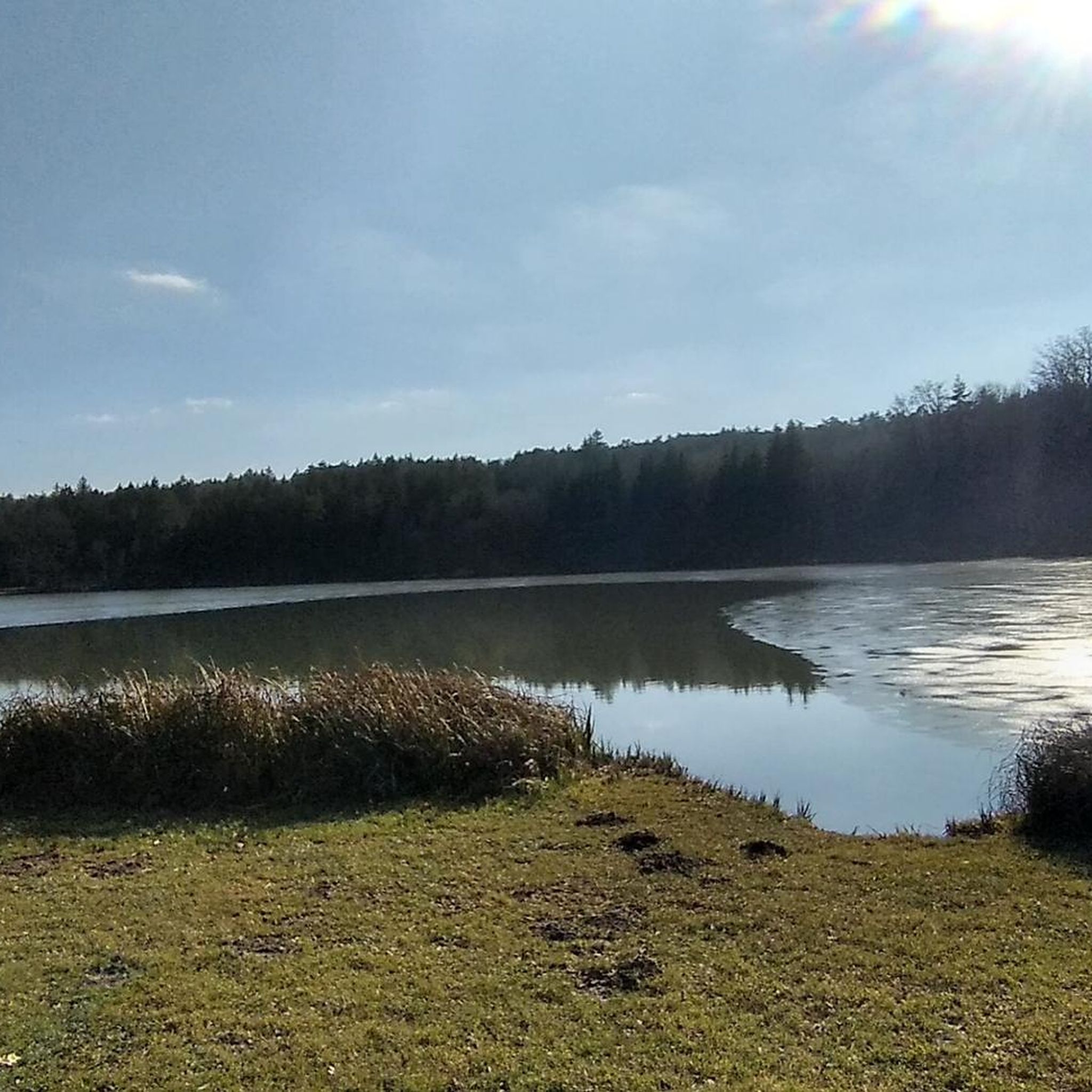

Tips from the Community

The high and richly structured west tower facade features giant pilasters with a pronounced center and side niches for figures. Above the round arch portal with crowning foliage decor, there is a segment arch window, and above that, a coat of arms stone from the Charterhouse Mauerbach.
0
0
The restaurant is closed, which is no wonder
0
0

A historic "showcase" from yesteryear, right next to the church. Behind the building, you will also find a gazebo for resting.
0
0

The reservoir is often referred to as a fish pond.
0
0
I hiked past here as part of my Eisenberg Tour. A beautiful church that presents itself on an elevation here in the village center. 38 steps lead up to the plateau where you will also find some seating. In the immediate vicinity, you will also find the war memorial and further resting places, as well as a stone well and a plague cross - both on the village square.
0
0
In the village square, you'll find this stone well, right next to the rest pavilion and the cholera cross.
0
0
A nice place to take a break. At least when it's not raining... so it wasn't for me on my tour.
0
0
A charming chapel stands at the crossroads below the cemetery. There are also a few benches nearby for resting.
0
0
Frequently Asked Questions
How many mountain bike trails are available around Mischendorf?
There are over 160 mountain bike trails around Mischendorf, offering a wide variety of options for different skill levels. The komoot community has explored these routes extensively, with nearly 500 mountain bikers using komoot to discover the area's diverse terrain.
What is the best time of year for mountain biking in Mischendorf?
Mischendorf's mountain biking trails are best enjoyed from spring through autumn. The region's rolling hills and dense forests provide varied terrain, and the weather during these seasons is generally most suitable for outdoor activities. Winter conditions can make some trails challenging or inaccessible.
Are there mountain bike trails suitable for beginners in Mischendorf?
Yes, Mischendorf offers a good selection of trails for beginners. Approximately 50 easy mountain bike routes are available, providing gentle gradients and less technical terrain. An example of an easy route is the Parish Church of Ollersdorf – Rauchwart Lake Restaurant loop from Olbendorf, which is 27.1 km long and offers scenic views.
What kind of terrain can I expect on mountain bike trails near Mischendorf?
The terrain around Mischendorf is diverse, featuring rolling hills, dense forests, and river valleys, particularly along the Pinka River. You'll find a mix of natural flow trails, some singletracks, and varied elevation changes. The proximity to the Geschriebenstein-Írottkő Nature Park means you can expect both challenging climbs and shaded paths.
Are there challenging mountain bike routes for experienced riders?
Absolutely. For experienced riders, Mischendorf offers over 100 moderate and 3 difficult mountain bike routes. These trails often feature significant elevation gain and more technical elements. A challenging option is the Weinblick Observation Platform – Ubersdorfer Reservoir loop from Burg - Eisenberg, a 64.8 km path with substantial elevation gain and panoramic views.
Are there mountain bike trails that are loop routes?
Yes, many mountain bike trails around Mischendorf are designed as loops, allowing you to start and end at the same point. Examples include the Parish Church of Ollersdorf – Rauchwart Lake Restaurant loop from Olbendorf and the Weinblick Observation Platform – Kohfidisch Castle loop from Welgersdorf, which takes you through forested hills.
What interesting sights or landmarks can I see while mountain biking in Mischendorf?
While mountain biking, you can encounter various points of interest. The region is home to historical sites like Rotenturm Castle. You might also pass by scenic cycle paths such as the Bahntrassen Cycle Path Oberwart–Bad Tatzmannsdorf or the Pinka Cycle Route, offering glimpses of the local landscape and culture.
Are there any lakes or water features along the mountain bike trails?
Yes, several routes will take you past beautiful lakes and water features. You can find places like Burg Bathing Lake, Stieber Pond, and the Rauchwart-Bocksdorf flood retention basin. Some trails, like the Rauchwart Lake Restaurant – Draw well loop from Neuberg im Burgenland/Nova Gora, specifically feature the scenic Rauchwart Lake.
What do other mountain bikers say about the trails in Mischendorf?
The mountain bike trails around Mischendorf are highly regarded by the komoot community, holding an average rating of 4.6 out of 5 stars from over 70 reviews. Riders often praise the varied terrain, the scenic views, and the well-maintained paths that cater to different skill levels.
Are the mountain bike trails in Mischendorf family-friendly?
Many of the easy mountain bike trails in Mischendorf are suitable for families. The paths along the Pinka River, for instance, are often asphalted and offer a gentle ride through meadows and villages. Look for routes marked as 'easy' for the most family-friendly options.
Can I bring my dog on the mountain bike trails in Mischendorf?
Generally, dogs are welcome on many of the natural trails in the Mischendorf region, especially in forested areas and along river paths. However, it's always advisable to keep your dog on a leash, particularly in nature park areas or near wildlife, and to check local regulations for specific trails.
Where can I find parking for mountain bike trails in Mischendorf?
Parking is typically available in or near the starting points of many trails, especially in the villages surrounding Mischendorf. Specific parking information can often be found on individual route pages on komoot or local tourism websites. Look for designated parking areas in towns like Olbendorf, Burg-Eisenberg, or Welgersdorf.
Is it possible to reach mountain bike trails in Mischendorf using public transport?
While Mischendorf is well-suited for car access, public transport options exist to reach the broader region. However, direct public transport links to specific trailheads might be limited. It's recommended to check local bus schedules for connections to Mischendorf and surrounding villages, and consider if bike transport is permitted.
How long are the mountain bike trails around Mischendorf?
The mountain bike trails around Mischendorf vary significantly in length. You can find shorter, easy routes like the Rauchwart Lake Restaurant – Draw well loop from Neuberg im Burgenland/Nova Gora, which is about 23.7 km. Longer, more challenging routes, such as the Old Cemetery Olbendorf – Rauchwart Lake Restaurant loop from Rohrbach an der Teich, can extend to 37.5 km or more, offering longer rides for endurance.
Most popular attractions around Mischendorf

Get inspired with the komoot mobile app


Explore more
Browse the best MTB trails in other regions.
