The best traffic-free bike rides in Johnson County
18
riders
3
rides
Gravel biking in Johnson County offers a diverse landscape with an extensive network of trails. The region features varied terrain, from flatter areas to rolling topography with significant climbs, and includes minimally maintained "B roads" for adventurous riders. This environment provides a range of experiences for those seeking no traffic gravel bike trails. Johnson County is characterized by its parks, natural areas, and a mix of open gravel roads and tree-canopied paths.
Best no traffic gravel bike trails in Johnson…
Last updated: October 2, 2026
9
riders
61.9km
04:51
1,020m
1,020m
Hard gravel ride. Very good fitness required. Mostly paved surfaces. Suitable for all skill levels.
7
riders
131km
09:52
2,490m
2,490m
Hard gravel ride. Very good fitness required. Mostly paved surfaces. Suitable for all skill levels.

2
riders
Hard gravel ride. Very good fitness required. Mostly paved surfaces. Suitable for all skill levels.
Our route recommendations are based on thousands of hikes, rides, and runs completed by other people on komoot.
Start today with a free account
Your next adventure awaits.
Popular around Johnson County
Other adventures in Johnson County

Tips from the Community

Little Mulberry Creek is a small tributary of the Mulberry River, a popular spot for canoeing and fishing. It's a reliable year-round water source for hikers passing through on the Ozark Highlands Trail (OHT) and a beautiful, peaceful spot to stop for a mid-morning snack.
0
0
This trailhead is a popular access point for the Ozark Highlands Trail (OHT) for both day and long-distance hikers. There is a small parking lot and an information kiosk with a map and trail register, and a small campsite, with space for a few tents, along with a large fire ring. There is no restroom or drinking water; however, the trailhead sits along the creek of the same name, which is one of many reliable water sources in the area.
0
0

An 82 acre lake for swiming, fishing, and hiking. There are also 18 campsites and 28 picnic areas including a pavilion.
0
0
Frequently Asked Questions
How many no-traffic gravel bike trails are available in Johnson County?
Komoot currently features 3 challenging no-traffic gravel bike trails in Johnson County. These routes are designed for experienced riders looking for significant climbs and longer distances away from vehicular traffic.
Are there any beginner-friendly or family-friendly no-traffic gravel routes in Johnson County?
The no-traffic gravel routes currently highlighted in this guide are all rated as difficult, featuring substantial elevation gains and longer distances. While Johnson County offers other trails like the Clear Creek Trail or parts of the Hoover Nature Trail which are more accessible, the specific no-traffic gravel routes listed here are better suited for experienced riders. For flatter gravel options, the 'Pancakes, Anyone?' route mentioned in regional research could be a good starting point, though it's not explicitly listed as 'no traffic' in our current selection.
What kind of terrain can I expect on these no-traffic gravel bike trails?
You can expect a diverse and often challenging terrain. Johnson County's gravel roads range from relatively flat in some areas to rolling topography with significant climbing, especially in the western parts. Some routes may even incorporate 'B roads,' which are minimally maintained dirt roads offering a more adventurous experience. The routes in this guide, such as the Shores Lake loop from West Cobb, feature considerable elevation changes, indicating a hilly and demanding ride.
Are there any waterfalls or scenic natural attractions along these routes?
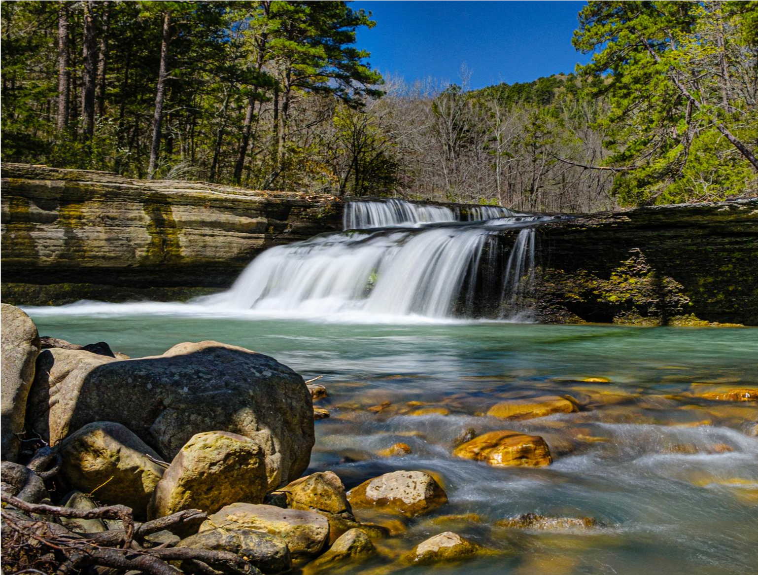
Yes, Johnson County is rich in natural beauty. While riding, you might be near attractions like the Haw Creek Falls Recreation Area. The region also boasts other natural features such as Big Piney Creek and the extensive F.W. Kent Park, which offers diverse landscapes and a lake.
Where can I find parking for these no-traffic gravel bike trails?
Specific parking details for each route are best checked on the individual tour pages. However, general access points for trails in Johnson County often include designated parking areas at parks like F.W. Kent Park, Lake Macbride State Park, or the Terry Trueblood Recreation Area. For routes like the Lick Branch Trailhead loop from West Cobb, you would typically look for parking near the indicated starting points or trailheads.
Are there any circular no-traffic gravel bike routes available?
Yes, all three no-traffic gravel bike trails currently featured in this guide are designed as circular routes. This includes the Lick Branch Trailhead loop from West Cobb, the Shores Lake loop from West Cobb, and the Lick Branch Trailhead – Little Mulberry Creek loop from Lick Branch Access, allowing you to start and finish at the same point.
What is the typical length and elevation gain for no-traffic gravel rides in Johnson County?
The no-traffic gravel routes in this guide vary significantly in length and elevation. For example, the Lick Branch Trailhead – Little Mulberry Creek loop is approximately 40.8 km (25 miles) with about 582 meters (1,909 feet) of elevation gain. The longest route, the Shores Lake loop from West Cobb, stretches over 130 km (81 miles) and features nearly 2,500 meters (8,200 feet) of climbing, making it a substantial challenge.
Can I combine these gravel routes with other trails or attractions?
Absolutely. Johnson County offers a robust network of trails. You can explore areas like the Ozark Highlands Trail: Little Piney Creek or the Ozark Highlands Trail: Lick Branch, which are nearby. The region also features the Iowa River Corridor Trail and the Clear Creek Trail, offering diverse riding experiences that could potentially be linked with gravel sections, depending on your route planning.
Are there any facilities like campgrounds or rest areas along these routes?
While specific facilities on the no-traffic gravel routes themselves might be limited, the broader Johnson County area provides options. For instance, the Ozone Recreation Area Campground is a nearby facility. F.W. Kent Park also features a campground and educational displays, which could serve as a base for your gravel biking adventures.
What is the best time of year for gravel biking in Johnson County?
Johnson County offers great gravel biking opportunities across multiple seasons. Spring and fall generally provide pleasant temperatures and beautiful scenery. However, some 'B roads' can become quite muddy in wet conditions, so checking recent weather is advisable. Winter riding is also possible, but be prepared for colder temperatures and potentially icy patches. Summer can be warm, so early morning rides are often preferred.
Are there any routes that pass by historic landmarks?
While the specific no-traffic routes in this guide focus on natural landscapes, Johnson County does have historic landmarks. The regional research mentions the beginner-friendly Octagonal Barn Loop, which passes the historic 1883 Secrest Octagonal Barn. Although not one of the difficult no-traffic routes listed here, it highlights the potential for combining scenic rides with historical exploration in the wider county.
Most popular routes in Johnson County
Most popular attractions in Johnson County

Get inspired with the komoot mobile app


Explore more
Browse the best Gravel rides in other regions.
