The best walks and hikes around Deliceto
4.1
(9)
30
hikers
5
hikes
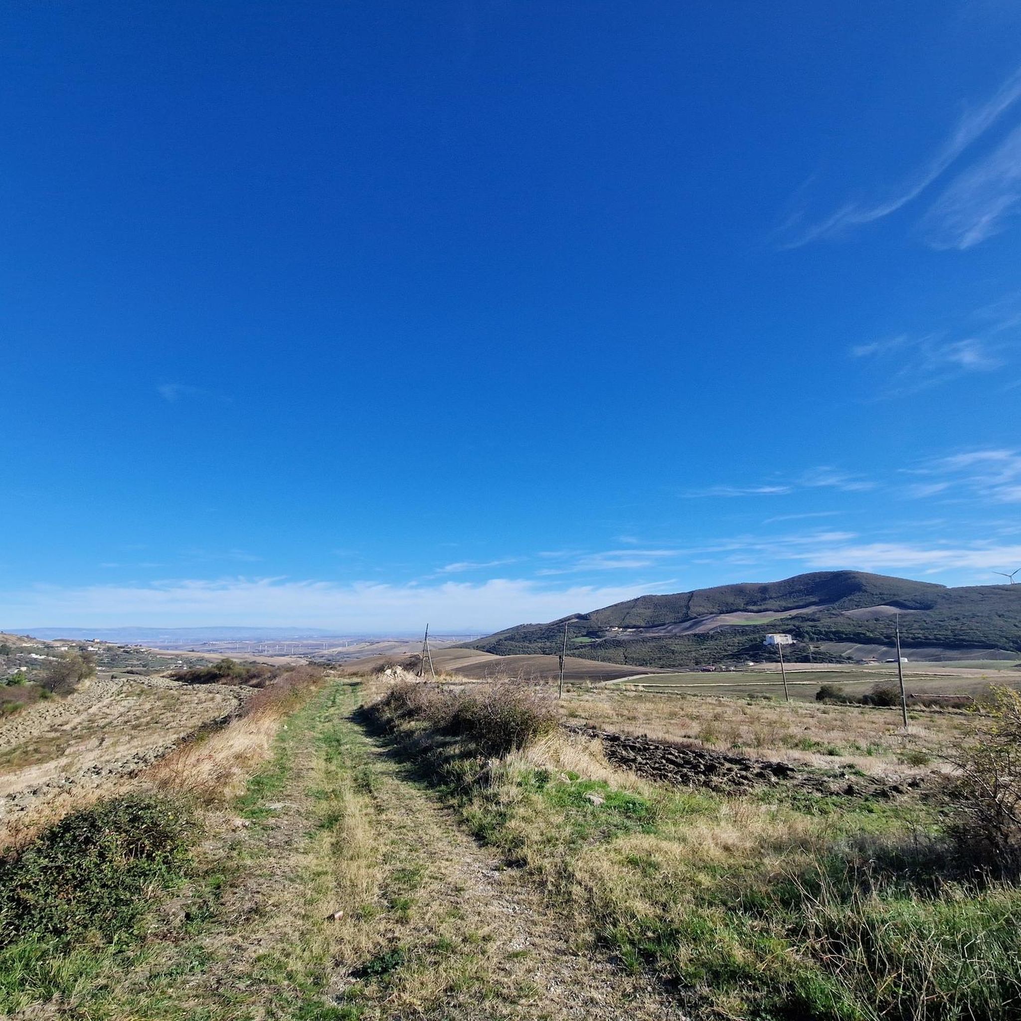
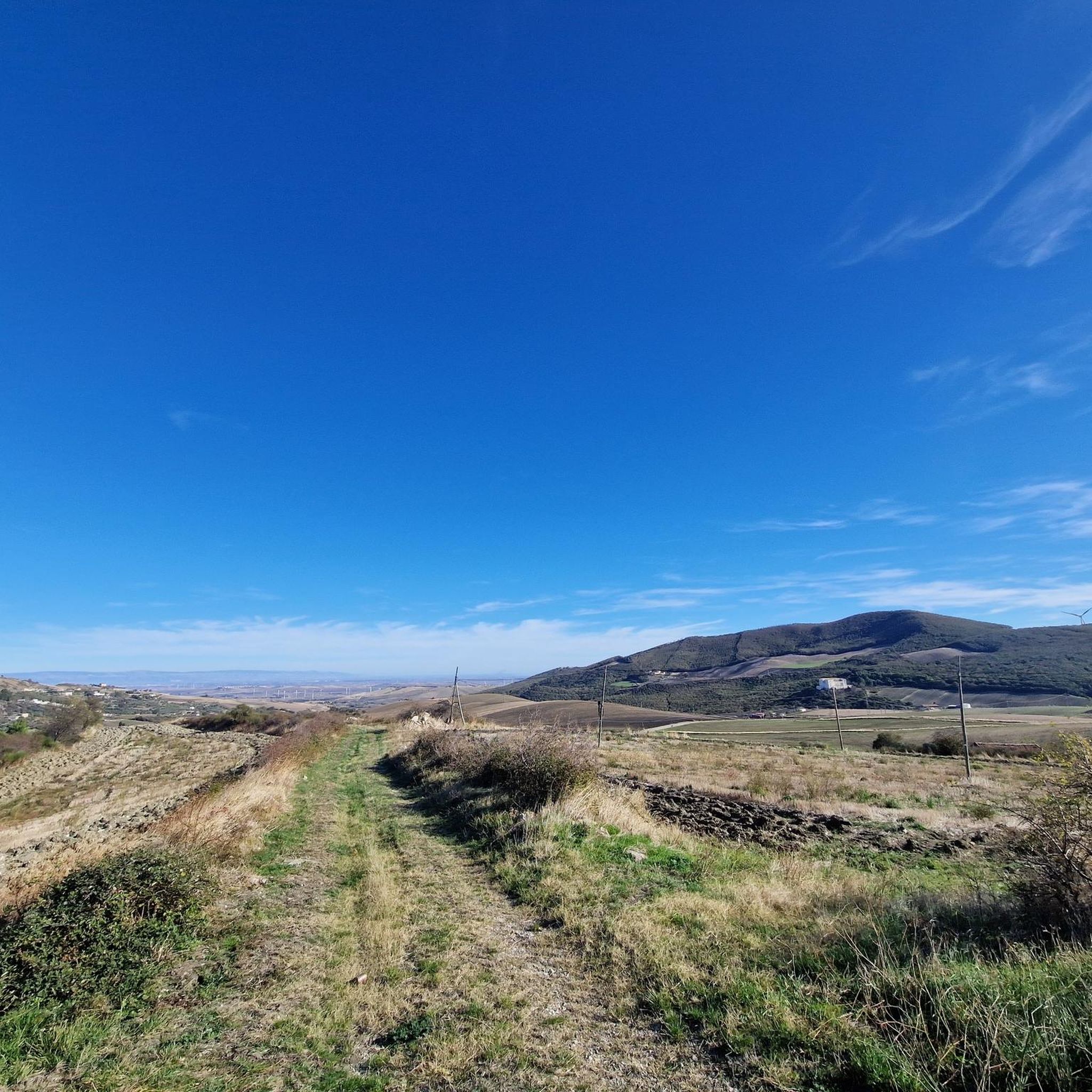
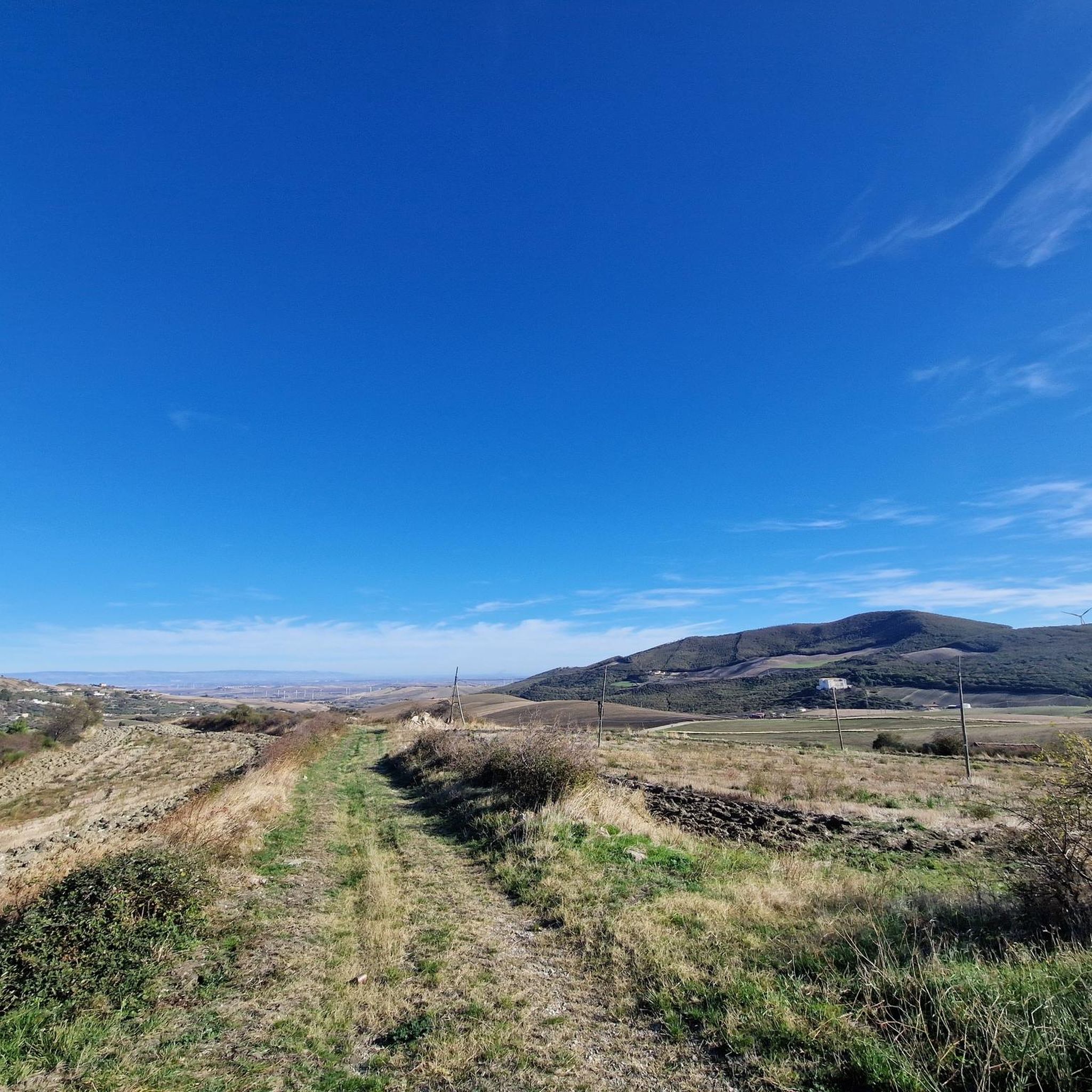
Hiking around Deliceto offers diverse landscapes across sub-Apennine foothills and varied elevations ranging from 207 to 951 meters above sea level. The region is characterized by extensive oak forests, Mediterranean maquis, and olive groves, providing a lush green environment. Natural features include gorges and streams, which contribute to varied terrains for exploration. The area also presents panoramic views from its elevated positions.
Best hiking trails around Deliceto
- The most popular hiking route is Monte Crispiniano loop from Panni, an 8.3 miles (13.4 km) trail that takes 4 hours 8 minutes to complete. This moderate route offers varied terrain through the local hills.
- Another top favourite among local hikers is Monte Tre Titoli loop from Agata delle Noci, a moderate 6.9 miles (11.1 km) path. This route features ascents and descents through the area's natural landscape.
- Local hikers also love the Via Francigena - Variante Bradanica - 03 - Da Candela a Melfi, a 17.2 miles (27.7 km) trail leading through varied elevations, often completed in about 8 hours 31 minutes.
- Hiking around Deliceto is defined by its extensive oak forests, natural gorges, and varied hilly terrain. The network offers options for different ability levels, from moderate loops to more difficult long-distance paths.
- The routes in Deliceto are highly rated by the komoot community with an average score of 4.7 stars from over 4 reviews. More than 11 hikers have used komoot to explore Deliceto's varied terrain.
Last updated: August 31, 2026
3.0
(5)
19
hikers
19.8km
05:12
110m
260m
Hard hike. Very good fitness required. Easily-accessible paths. Suitable for all skill levels.
27.7km
08:31
1,020m
950m
Hard hike. Very good fitness required. Easily-accessible paths. Suitable for all skill levels.

Sign up for free
19.2km
05:25
410m
350m
Hard hike. Very good fitness required. Easily-accessible paths. Suitable for all skill levels.
5.0
(1)
7
hikers
13.4km
04:08
480m
480m
Moderate hike. Good fitness required. Easily-accessible paths. Suitable for all skill levels.
4.3
(3)
4
hikers
11.1km
03:21
370m
370m
Moderate hike. Good fitness required. Easily-accessible paths. Suitable for all skill levels.
Our route recommendations are based on thousands of hikes, rides, and runs completed by other people on komoot.
Start today with a free account
Your next adventure awaits.
Login or Signup
Popular around Deliceto
Tips from the Community

Stunning 360 degree panorama
0
0
Frequently Asked Questions
What kind of terrain can I expect on hikes around Deliceto?
The region around Deliceto offers a diverse landscape, ranging from sub-Apennine foothills to higher-altitude villages. You'll encounter extensive oak forests, Mediterranean maquis, olive groves, and vineyards. The terrain is generally hilly, with elevations varying significantly, providing a mix of challenging ascents and scenic paths through lush greenery.
Are there any easy hiking trails suitable for beginners or families in Deliceto?
While many routes in the area are more challenging, there is at least one easy trail available. For those seeking a gentler experience, look for paths with minimal elevation gain and shorter distances, often found closer to the village or through the more cultivated areas.
What natural features can I discover while hiking near Deliceto?
Hikers can explore a variety of natural features, including lush forests with oak, hazelnut, and wild pear trees, as well as vibrant wild orchids. The area is also known for its natural gorges, such as the Accadia Gorges – Pietra di Punta, which features a small waterfall depending on stream flow. Streams and forests also surround the Sanctuary of Madonna delle Consolazione.
Are there any circular hiking routes available around Deliceto?
Yes, there are circular routes that allow you to start and end in the same location. For example, the Monte Crispiniano loop from Panni offers a moderate challenge, covering about 13.4 km. Another option is the Monte Tre Titoli loop from Agata delle Noci, also moderate, spanning around 11.1 km.
What historical sites or viewpoints can I visit while hiking in the Deliceto area?
The region is rich in history and offers stunning panoramic views. You can visit historical settlements like Ascoli Satriano, with its pre-Roman origins and Norman castle, or the charming hilltop town of Candela. For breathtaking vistas, consider the View from the Belvedere of Castelluccio dei Sauri, offering expansive views of the lower Cervaro valley and the Monti Dauni.
What do other hikers say about the trails around Deliceto?
The komoot community rates the hiking experience around Deliceto highly, with an average score of 4.66 out of 5 stars. Hikers often praise the diverse landscapes, the tranquility of the oak forests, and the opportunity to combine natural exploration with visits to historical villages and panoramic viewpoints.
What is the best time of year to go hiking in Deliceto?
Deliceto's lush green landscape and diverse flora make spring and autumn particularly appealing for hiking. During these seasons, temperatures are generally milder, and the natural scenery is at its most vibrant, with blooming wildflowers in spring and rich colors in autumn. Summers can be warm, while winters offer a different, often quieter, experience.
Are there any long-distance or challenging hikes near Deliceto?
Yes, the area features several challenging routes, including sections of the historic Via Francigena. For experienced hikers, options like the Via Francigena - 128 - Da Castelluccio dei Sauri a Ordona, spanning nearly 20 km, or the Via Francigena - Variante Bradanica - 03 - Da Candela a Melfi, a demanding 27.7 km journey, offer significant distances and elevation changes.
Can I find trails that connect to other towns or villages from Deliceto?
Yes, some routes serve as connecting paths between different settlements. For instance, the Via Francigena - Variante Bradanica - 02 - Da Ascoli Satriano a Candela is a challenging route that links these historic towns, allowing hikers to experience the cultural and natural transitions of the region.
Are there opportunities to see wildlife or unique flora on the trails?
The extensive forests and Mediterranean maquis around Deliceto provide a rich habitat. Hikers may encounter various bird species and smaller wildlife. The flora itself is a highlight, with wild orchids, hazelnut, wild pear, and ash trees contributing to the area's natural beauty and biodiversity.
Most popular routes around Deliceto
Most popular attractions around Deliceto

Get inspired with the komoot mobile app


Explore more
Browse the best Hikes in other regions.
