The best MTB trails around Mittelpöllnitz
4.7
(208)
509
riders
153
rides
Mountain biking around Mittelpöllnitz offers routes through a landscape characterized by rolling hills, river valleys, and forested areas. The region features several dams and historical points, providing varied terrain for mountain bikers. Elevation gains on routes can be significant, indicating a mix of climbs and descents.
Best mountain bike trails around Mittelpöllnitz
- The most popular mountain bike trail is Auma Dam – Wünschendorf Old Wooden Bridge loop from Niederpöllnitz, a 26.8 miles (43.2 km) trail that takes 2 hours…
Last updated: July 8, 2026
4.7
(6)
11
riders
44.8km
03:43
720m
720m
Moderate mountain bike ride. Good fitness required. Advanced riding skills necessary.
5.0
(3)
7
riders
35.9km
02:20
370m
370m
Moderate mountain bike ride. Good fitness required. Suitable for all skill levels.

Sign up for free
3.0
(2)
8
riders
31.7km
02:15
320m
320m
Moderate mountain bike ride. Good fitness required. Advanced riding skills necessary.
5.0
(1)
8
riders
Moderate mountain bike ride. Good fitness required. Advanced riding skills necessary.
4.0
(2)
5
riders
47.3km
03:57
680m
680m
Moderate mountain bike ride. Good fitness required. Advanced riding skills necessary.
Get access to more routes and recommendations from other explorers.
Sign up for free
Already have an account?
Our route recommendations are based on thousands of hikes, rides, and runs completed by other people on komoot.
Start today with a free account
Your next adventure awaits.
Login or Signup
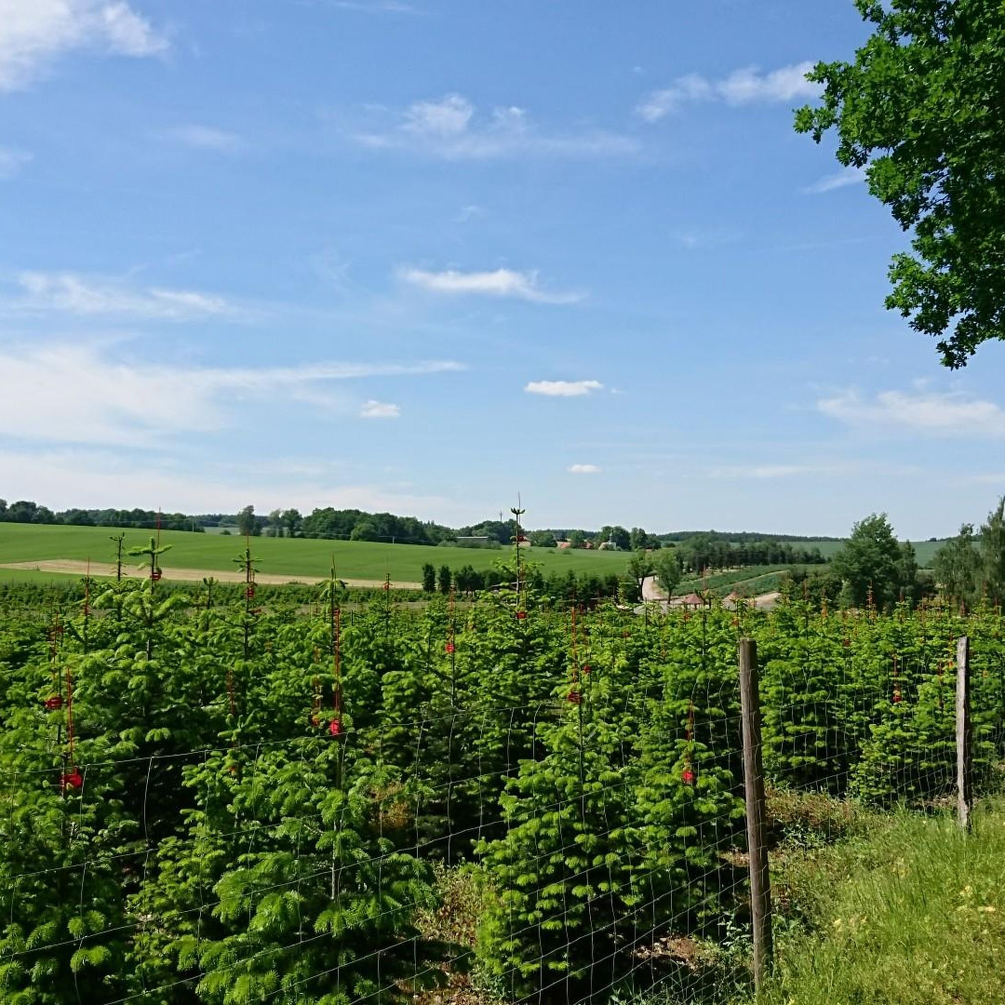
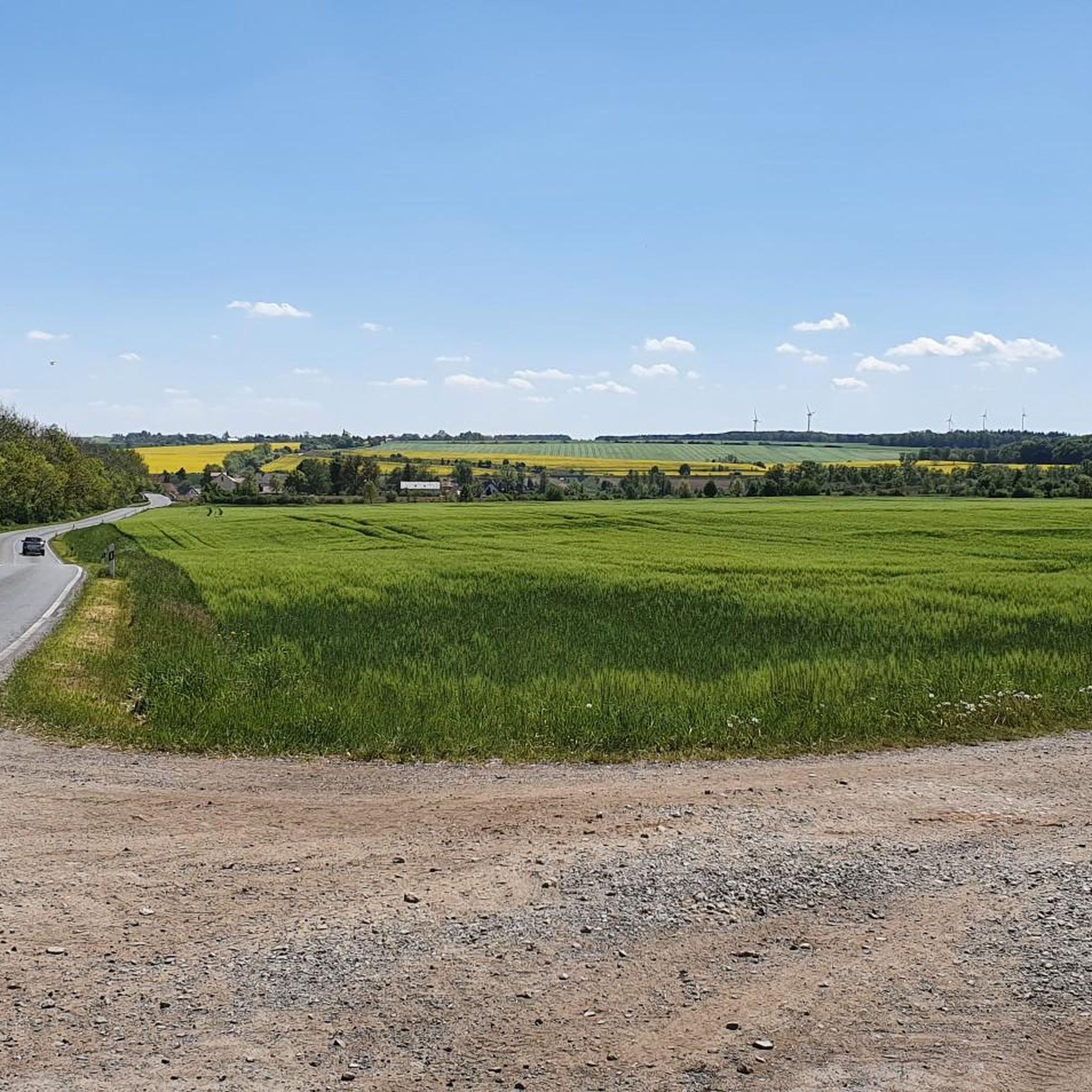
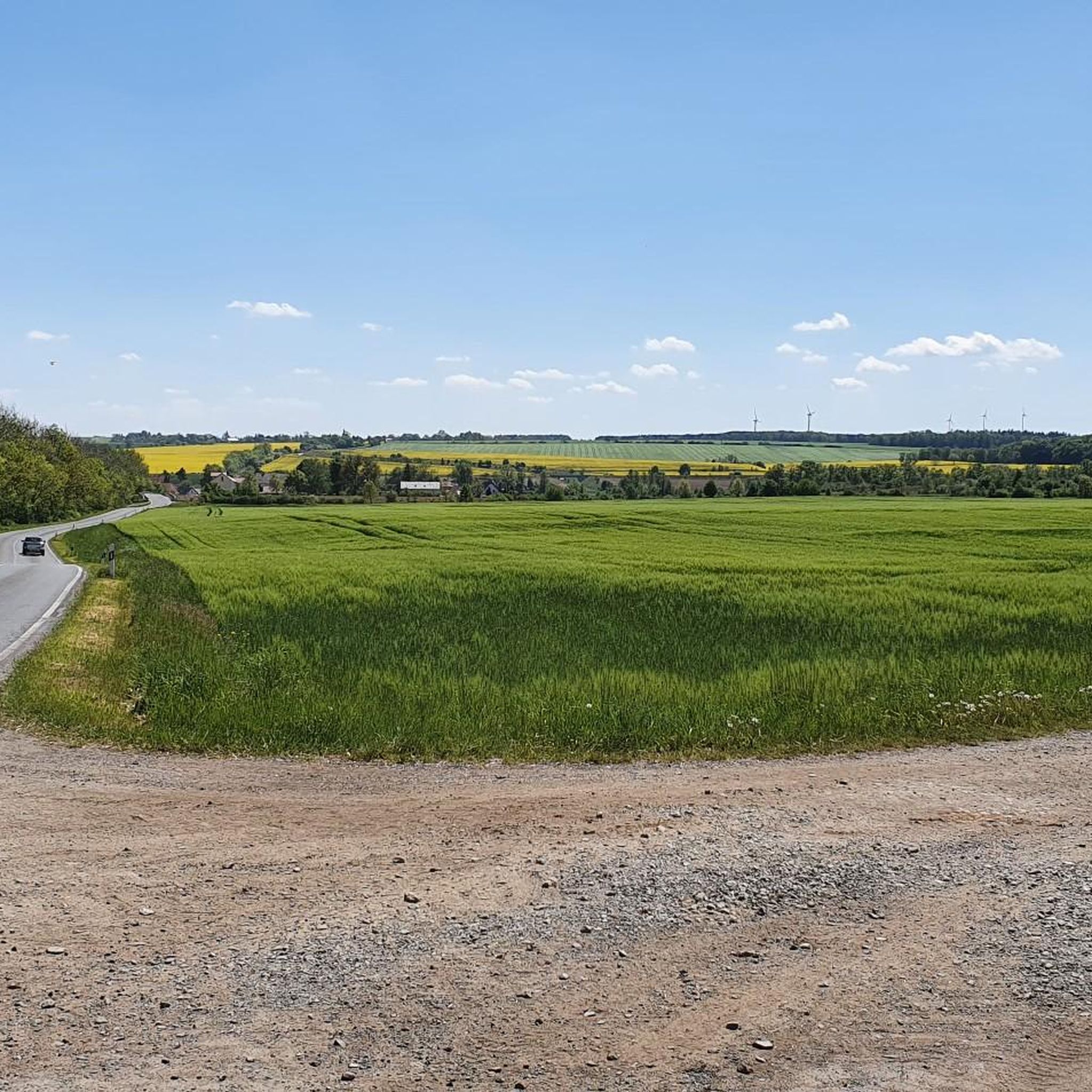
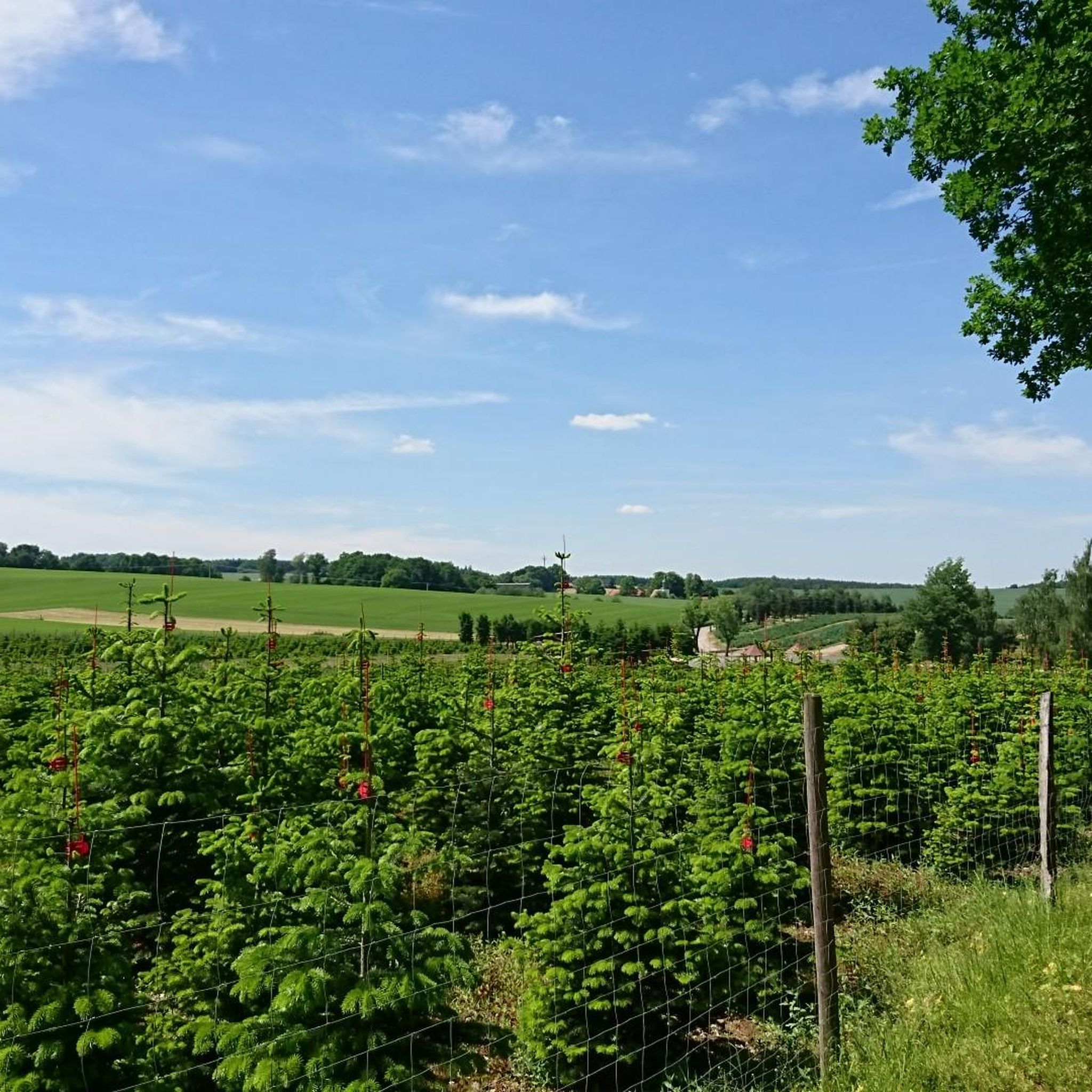
Tips from the Community

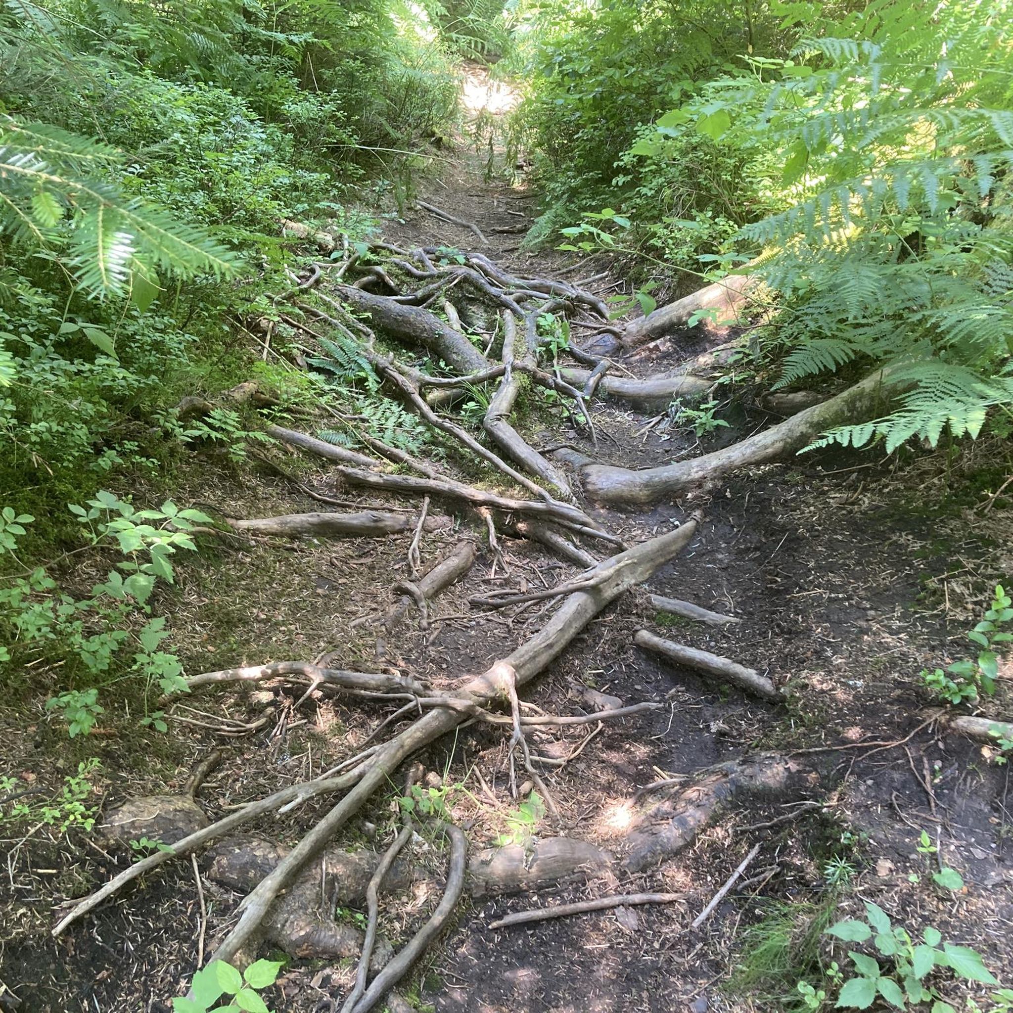
In bad weather 🌡️ it is not recommended, as there is a lot of mud. 😁 Otherwise, only the source stone was visible and lots of small streams. 😁
0
0

The loop around the reservoir is relatively short, only 3 km, although Komoot indicated around 5 km during planning. But nice.
0
0

Some people go swimming here in the summer. Unfortunately, you can't walk around it.
3
0

Great trail. 👍 Be careful in wet weather, though: slippery
0
0

There is also a source here.
2
0
A trip is definitely worth it.
2
0

The moated castle was built between 1547 and 1552 by the last Elector of the Saxon-Ernestine House, Johann Friedrich the Magnanimous, founder of the University of Jena.
14
0

Impressive rock formation.
22
0
Frequently Asked Questions
How many mountain bike trails are available around Mittelpöllnitz?
There are over 160 mountain bike trails to explore in the Mittelpöllnitz region, offering a wide variety of routes for different skill levels.
Are there easy mountain bike trails suitable for beginners or families?
Yes, Mittelpöllnitz offers around 40 easy mountain bike trails. These routes typically feature less challenging terrain and elevation, making them suitable for beginners or families looking for a relaxed ride. For example, the Source Area of the Orla – Doggenteich (Silbersee) loop from Triptis is a moderate option with manageable elevation.
What kind of terrain can I expect on mountain bike trails in Mittelpöllnitz?
The region's mountain bike trails traverse a diverse landscape of rolling hills, scenic river valleys, and extensive forested areas. You'll encounter varied terrain, including sections with significant elevation gains and descents, especially around the dams and historical sites.
Are there challenging or technical mountain bike trails for experienced riders?
Yes, for experienced riders seeking a challenge, there are 5 difficult mountain bike trails in the area. These routes often feature more substantial elevation gains and potentially more technical sections. The Waldfrieden Shelter – Brehm Museum loop from Triptis, for instance, includes over 700 meters of elevation gain.
What are some scenic highlights or points of interest along the mountain bike routes?
Many routes offer scenic views of river valleys and dam landscapes. You can also discover historical points and natural attractions. Notable highlights include the Auma Reservoir, the Weida Dam, and historical sites like Osterburg, Weida.
What is the best time of year for mountain biking in Mittelpöllnitz?
Spring and autumn are generally ideal for mountain biking in Mittelpöllnitz. The weather is usually milder, and the natural scenery, especially the forested areas, is particularly beautiful with blooming flora or vibrant fall colors. Summer can also be pleasant, but be prepared for warmer temperatures.
Are there any loop mountain bike trails in Mittelpöllnitz?
Most mountain bike trails in Mittelpöllnitz are designed as loops, allowing you to start and finish at the same point. Examples include the Wünschendorf Old Wooden Bridge – Mildenfurth Monastery loop from Niederpöllnitz and the Source Area of the Orla – Auma Dam loop from Triptis.
What do other mountain bikers say about the trails in Mittelpöllnitz?
The mountain bike trails in Mittelpöllnitz are highly regarded by the komoot community, with an average rating of 4.7 out of 5 stars from over 200 reviews. Riders often praise the varied terrain, the beautiful natural scenery, and the well-maintained paths that connect dams, river valleys, and historical sites.
Are there mountain bike routes that pass by dams or reservoirs?
Yes, the region is characterized by several dams and reservoirs, and many mountain bike routes incorporate these water features. The Auma Dam – Wünschendorf Old Wooden Bridge loop from Niederpöllnitz is a prime example, connecting water features with historical elements.
Where can I find parking for mountain bike trails in Mittelpöllnitz?
While specific parking details vary by trailhead, many routes start near towns like Triptis or Niederpöllnitz, where public parking options are generally available. It's advisable to check the starting point of your chosen route on komoot for more precise parking information.
What are the typical elevation gains on mountain bike trails in this area?
Elevation gains vary significantly across the region's trails. Moderate routes might feature around 300-400 meters of ascent, while more challenging trails can involve over 700 meters of climbing, such as the Waldfrieden Shelter – Brehm Museum loop from Triptis.
Most popular routes around Mittelpöllnitz
Most popular attractions around Mittelpöllnitz

Get inspired with the komoot mobile app


Explore more
Browse the best MTB trails in other regions.
