Attractions and Places To See around Stausee Gigerwald - Top 8
Best attractions and places to see around Stausee Gigerwald, nestled in the Calfeisental valley, offer a blend of natural beauty, engineering, and cultural heritage. The region features impressive rock faces and the Gigerwald Dam, which impounds the Tamina River to form the Gigerwaldsee. Visitors can explore a historic Walser settlement and various natural features.
Best attractions and places to see around Stausee Gigerwald
- The most popular attractions is Gigerwald Dam, a man-made monument that stands 147 meters high. It…
Last updated: July 6, 2026
Gigerwald Dam
Highlight • Monument
Since 1976, the Tamina has been dammed with an arched dam to form the Gigerwaldsee. The dam is 147 meters high. The reservoir is operated by Kraftwerke …
Translated by Google •
Tip by

Historic Walser Settlement of Sankt Martin
Highlight • Settlement
Translated by Google •
Tip by

Sign up now to discover places like this
Get recommendations on the best single tracks, peaks, & plenty of other exciting outdoor places.
Sign up for free
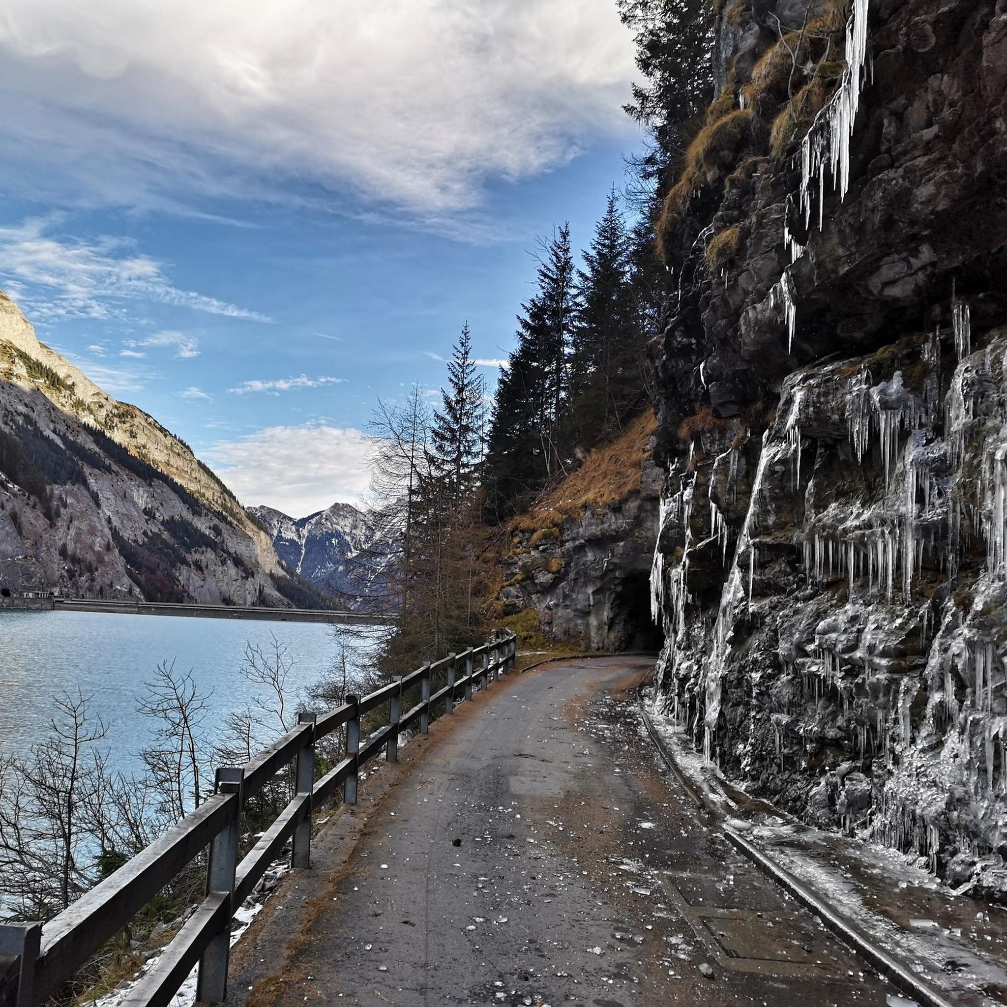
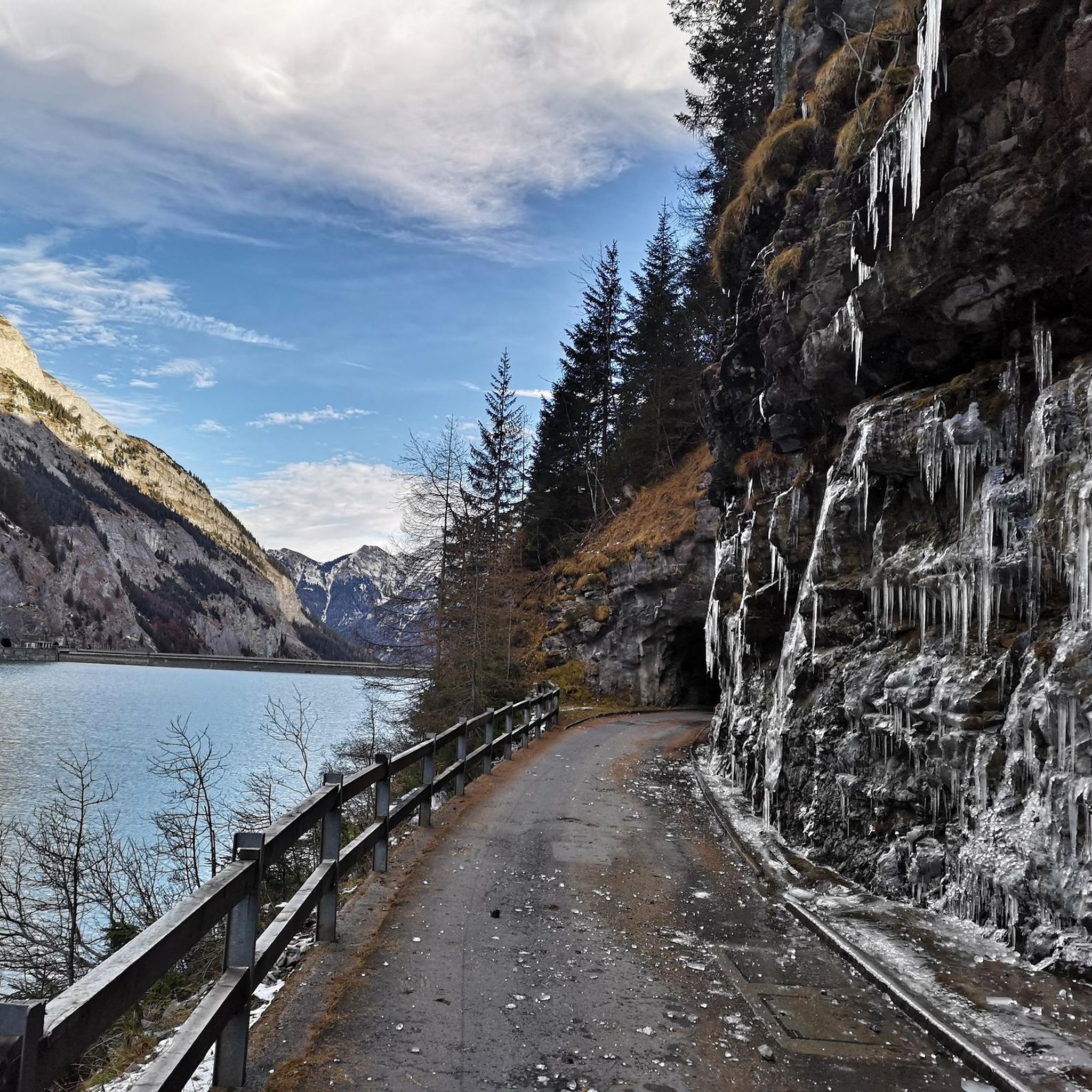
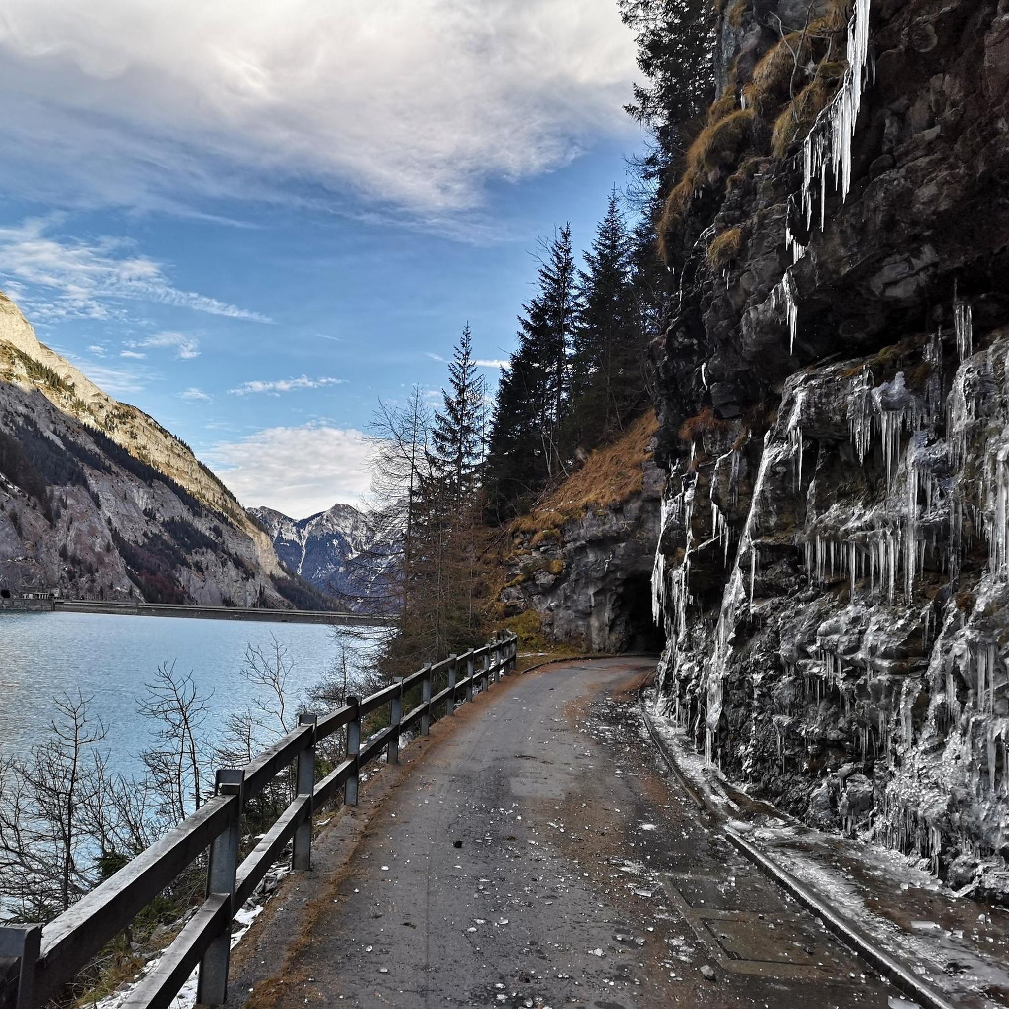
Gigerwald Reservoir Lakeside Road
Highlight (Segment) • Lake
Translated by Google •
Tip by

Gigerwald Reservoir, on the dam
Highlight • Monument
Translated by Google •
Tip by

Calfeisental to Gigerwald Reservoir
Highlight (Segment) • Lake
Translated by Google •
Tip by
Sign up for free to discover even more attractions around Stausee Gigerwald.
Sign up for free
Already have an account?
Start today with a free account
Your next adventure awaits.
Login or Signup
Popular around Stausee Gigerwald

Lake and Alps Adventure – explore 100 dreamy places in our cycling region!

Blue lakes, wide panoramas & autumnal splendour – hiking in Heidiland
Hiking around Stausee Gigerwald
MTB Trails around Stausee Gigerwald
Cycling around Stausee Gigerwald
Running Trails around Stausee Gigerwald
Road Cycling Routes around Stausee Gigerwald
Mountain Hikes around Stausee Gigerwald


Tips from the Community


Gigerwaldsee, Calfeisental The Gigerwaldsee is located in the Calfeisental and lies above Vättis in the municipality of Pfäfers in the canton of St. Gallen. The elongated Gigerwald reservoir, which is enclosed between rock walls, is located at an altitude of 1335 meters above sea level, is around three kilometers long and 135 meters deep at its deepest point. The lake is fed by the Tamina, the Tellerbach, the Hochbach and other smaller mountain streams. The Tamina flows out of the Gigerwaldsee. The Gigerwaldsee is the largest lake located exclusively in the canton of St. Gallen. At the very back, at the western end of the lake, is the old Walser settlement of St. Martin. A partially tunneled road leads to the hamlet on the southern shore of the Gigerwaldsee. In the summer months there is an inn in St. Martin that offers food, drink and accommodation. Text / Source: schweizersee.ch https://www.schweizersee.ch/gigerwaldsee/
11
0
Gigerwald Dam, Calfeisental Since 1976, the Tamina has been dammed with an arched dam to form the Gigerwaldsee. The dam is 147 meters high. The reservoir is operated by Kraftwerke Sarganserland AG, which is majority owned by Axpo. Text / Source: schweizersee.ch https://www.schweizersee.ch/gigerwaldsee/
12
0

A magical place where the time just stops. A very nice place to see a old Swiss settlement.
0
0

The end of a valley couldn't be much nicer, here you feel like you are in another world!
1
0
The moment when you get up there is breathtaking! I'm not sure what I've seen more impressive than that. The water is sparkling blue, the small waterfalls that tumble in from the rock walls and the mini road on which the SUV driver already has problems with narrow tunnels. Just WOW!
1
0

Very nice place with good food and accommodation options.
1
0
Beautiful region for biking and hiking
0
0
Frequently Asked Questions
What natural features can I explore around Stausee Gigerwald?
The region is characterized by the picturesque Calfeisental valley, with steep and rugged rock faces. The Gigerwald Dam impounds the Tamina River to form the elongated Gigerwaldsee, which is the largest lake exclusively in the canton of St. Gallen. You can also find small waterfalls tumbling from the rock walls into the reservoir.
Are there any historical or cultural sites to visit near Stausee Gigerwald?
Yes, you can visit the Historic Walser Settlement of Sankt Martin. This charming and wonderfully preserved village is located at the far end of the Gigerwaldsee and offers a restaurant and accommodation options.
What outdoor activities can I do near Stausee Gigerwald?
The area offers various outdoor activities. You can find numerous hiking trails, including routes with views of the Piz Sardona and leading to the St. Martin Chapel. There are also cycling routes, such as the Gigerwald Reservoir Lakeside Road, and running trails.
Is the Gigerwald Dam accessible to visitors?
Yes, the Gigerwald Dam is accessible for walking and driving, providing spectacular views of the reservoir and the valley. It stands 147 meters high and is 430 meters long. Guided tours of the dam and the Mapragg power plant are available upon request.
Are there family-friendly activities or trails around Stausee Gigerwald?
The Historic Walser Settlement of Sankt Martin is considered family-friendly. The Gigerwald Reservoir Lakeside Road is a relatively flat route, making it pleasant for leisurely drives or cycling with families, though caution is advised in the illuminated tunnels.
What is the best way to get to the Gigerwald Reservoir and its attractions?
The Calfeisental offers a relatively easy ascent by road to the Gigerwald Dam, with approximately 400 meters of elevation gain on asphalt. From the dam, a partially tunneled road, the Gigerwald Reservoir Lakeside Road, leads to Sankt Martin. This road operates with one-way traffic, changing directions every 30 minutes during specific hourly windows.
Are there places to eat or stay overnight near Stausee Gigerwald?
Yes, the Historic Walser Settlement of Sankt Martin, located at the far end of the Gigerwaldsee, offers a restaurant and accommodation options. There is an inn in St. Martin that provides food, drink, and lodging during the summer months.
What is special about the Gigerwald Reservoir Lakeside Road?
The Gigerwald Reservoir Lakeside Road runs along the reservoir and features four illuminated tunnels. It offers continuous beautiful views between the tunnels and is a relatively flat route, suitable for cycling or leisurely drives. Cyclists should use lights due to the dark, narrow tunnels.
What do visitors enjoy most about the attractions around Stausee Gigerwald?
Visitors appreciate the breathtaking views from the Gigerwald Dam, the sparkling blue water of the reservoir, and the small waterfalls. The wonderfully preserved Historic Walser Settlement of Sankt Martin with its good food and idyllic atmosphere is also highly rated.
Can I cycle or hike the ascent to the Gigerwald Dam?
Yes, the ascent through the lower Calfeisental to the Gigerwald Dam is quite easy, all on asphalt, with around 400 meters of elevation gain. This makes it suitable for both cycling and hiking.
Are there any specific hiking trails that offer views of Piz Sardona?
Yes, there are hiking routes in the area that provide views of the Piz Sardona. For example, the 'View of Piz Sardona – St. Martin Chapel loop from Stausee Gigerwald' is a moderate 11.5 km hike, and the 'View Above the Tree Line – View of Piz Sardona loop from Stausee Gigerwald' is a more difficult 20.7 km option. You can find more details on Hiking around Stausee Gigerwald.
Most popular routes around Stausee Gigerwald
Most popular attractions around Stausee Gigerwald

Get inspired with the komoot mobile app


Explore more
Still not found the Highlight you’re looking for? See guides of the top attractions in other regions:
