The best walks and hikes around Mixdorf
4.6
(3027)
9,812
hikers
12
hikes
Hiking around Mixdorf offers a pleasant natural environment characterized by forests, lakes, and gentle terrain. The region features a network of trails that wind through woodlands and past various water bodies, providing accessible outdoor experiences. While Mixdorf itself presents a milder landscape, its proximity to the Mullerthal region allows for exploration of more dramatic rock formations and gorges. The local routes are generally less strenuous, making them suitable for a range of hiking abilities.
Best hiking trails around Mixdorf
- The…
Last updated: July 5, 2026
4.4
(9)
36
hikers
12.6km
03:17
90m
90m
Moderate hike. Good fitness required. Easily-accessible paths. Suitable for all skill levels.
3.7
(3)
8
hikers
9.15km
02:23
60m
60m
Moderate hike. Good fitness required. Easily-accessible paths. Suitable for all skill levels.

Sign up for free
4.3
(3)
6
hikers
16.4km
04:15
100m
100m
Moderate hike. Good fitness required. Easily-accessible paths. Suitable for all skill levels.
9
hikers
12.6km
03:16
80m
80m
Moderate hike. Good fitness required. Easily-accessible paths. Suitable for all skill levels.
5.0
(6)
10
hikers
6.98km
01:48
40m
40m
Easy hike. Great for any fitness level. Easily-accessible paths. Suitable for all skill levels.
Get access to more routes and recommendations from other explorers.
Sign up for free
Already have an account?
Our route recommendations are based on thousands of hikes, rides, and runs completed by other people on komoot.
Start today with a free account
Your next adventure awaits.
Login or Signup
Tips from the Community

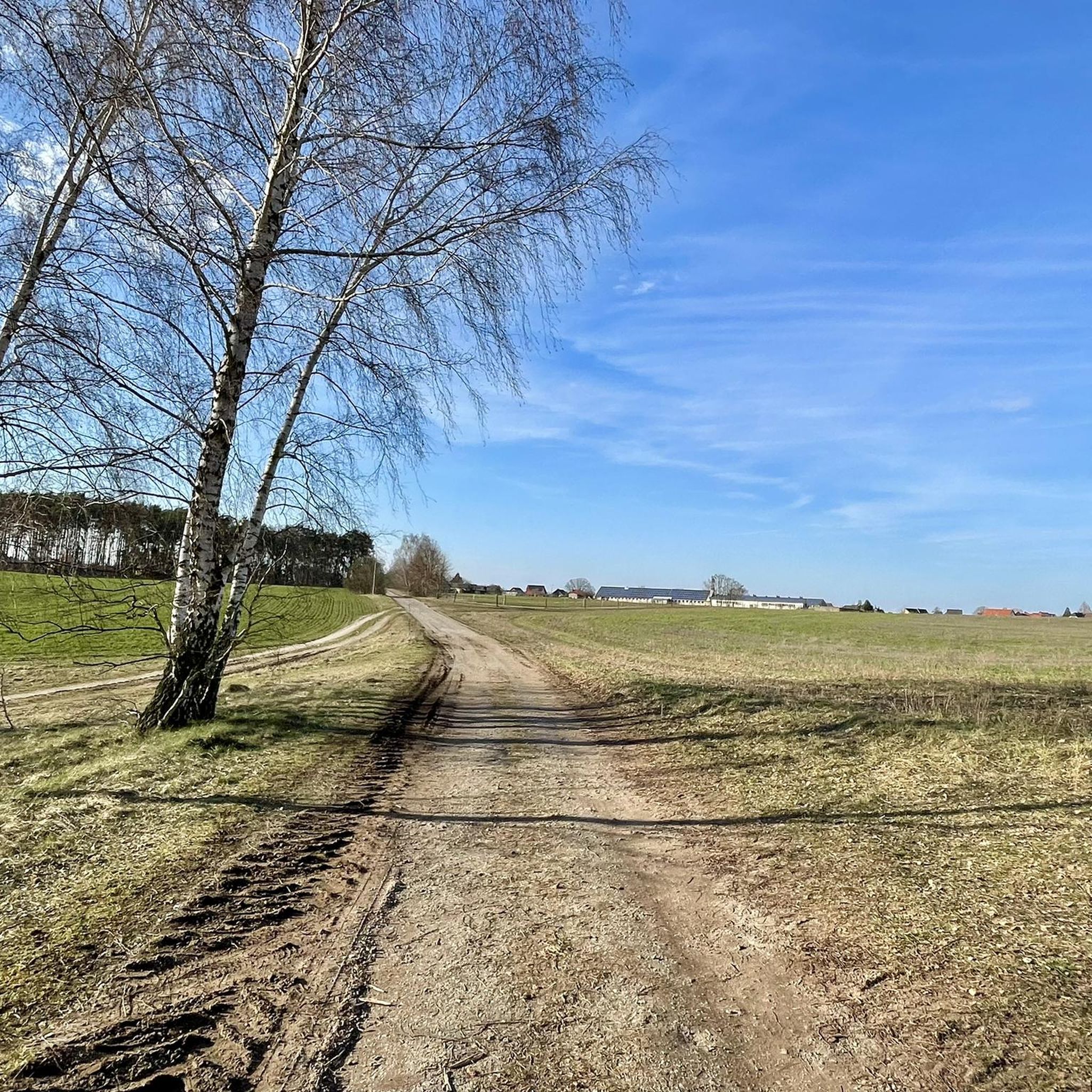
A good hiking trail, but lots of roots, so sturdy footwear is a must. You'll occasionally encounter hikers and anglers. There are small benches for short breaks.
0
0

Wide asphalted hiking and cycling path through the idyllic Schlaubetal valley leads past the Hammersee
0
0

Lake with managed bathing beach.
0
0
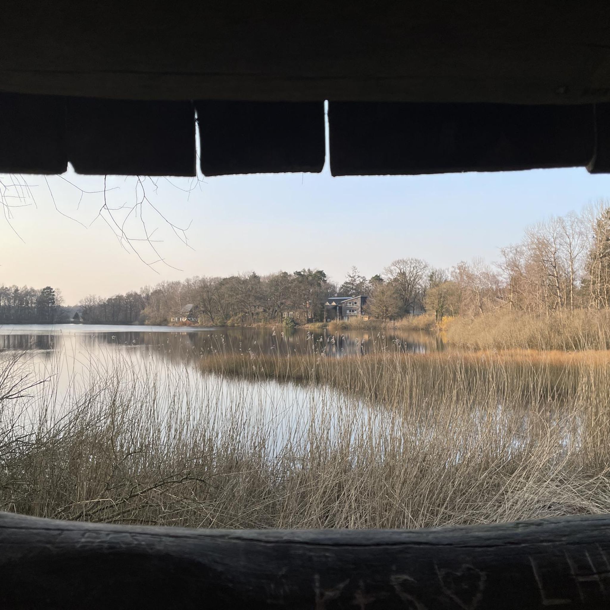
Nice rest area with a roof by the lake.
0
0

Unfortunately, the parking spaces for cars are cramped and far too few. Even a few rays of sunshine fill the parking lot.
0
0
Built in 1953 by Helmut Perschke as a summer house for his family, it is now maintained and preserved by the local fishing club. A great place to rest and enjoy the view over the Schervenzsee.
2
0

Hikers snack in the Forsthaus Siehdichum, simply delicious
0
0
An experience in every season, pure nature
1
0
Frequently Asked Questions
What is the best time of year to hike in Mixdorf?
The most pleasant seasons for hiking in Mixdorf are spring and autumn. During these times, the temperatures are mild, and the natural scenery is particularly vibrant, offering ideal conditions for exploring the trails.
Are there easy hiking trails suitable for beginners or casual walkers in Mixdorf?
Yes, Mixdorf offers several easy hiking trails perfect for beginners or those looking for a relaxed walk. There are 6 easy routes available, such as the Ragower Mill – Mixdorf Village Church loop from Mixdorf, which is 4.3 miles (7.0 km) long and takes about 1 hour 48 minutes to complete.
What natural features or landmarks can I see while hiking in Mixdorf?
Mixdorf's trails often lead through woodlands and past various water bodies. You can explore beautiful lakes like Schinkensee and Langesee. The area is also home to the Wild and romantic Schlaubetal gorge and the Schlaube River, offering picturesque natural monuments.
Are there circular hiking routes in Mixdorf?
Yes, many of the hiking routes in Mixdorf are circular, allowing you to start and end at the same point. Examples include the Schinkensee – Langesee loop from Mixdorf and the Lake Schervenz – Rest Area at Schervensee loop from Mixdorf, both offering diverse scenery.
What do other hikers enjoy the most about hiking in Mixdorf?
The hiking trails in Mixdorf are highly regarded by the komoot community, with an average rating of 4.6 stars from over 2700 reviews. Hikers often praise the pleasant natural environment, characterized by forests, lakes, and gentle terrain, making for accessible and enjoyable outdoor experiences.
Are there family-friendly hiking options in Mixdorf?
Mixdorf offers a pleasant natural environment suitable for families. While the local routes are generally less strenuous, the nearby Mullerthal region features the Märchenwald hiking trail, which is specifically designed for families with children, incorporating fairytale characters along a child-friendly path.
What is the typical duration of hikes in Mixdorf?
Hikes in Mixdorf vary in length and duration. You can find shorter walks, such as the Ragower Mill – Mixdorf Village Church loop from Mixdorf, which takes under 2 hours. Longer routes, like the Path along Hammersee – Schinkensee loop from Mixdorf, can take over 4 hours, offering options for different time commitments.
Are dogs allowed on the hiking trails in Mixdorf?
Generally, dogs are welcome on hiking trails in natural areas like Mixdorf. However, it's always advisable to keep them on a leash, especially in nature reserves or areas with wildlife, and to clean up after them to ensure a pleasant experience for all hikers and to protect the environment.
Beyond Mixdorf, what other unique natural areas can I explore nearby?
Mixdorf's strategic location provides convenient access to the more extensive and dramatic landscapes of the Mullerthal region, often called 'Little Luxembourg Switzerland'. This area is renowned for its unique geological formations, including narrow rock crevices, grottoes, and impressive rock formations like Perecop and Hohllay. The Mullerthal Trail, a 112 km network, offers diverse hiking experiences through gorges, past waterfalls like the iconic Schiessentümpel, and to scenic viewpoints.
Are there any waterfalls or gorges to explore near Mixdorf?
While Mixdorf itself offers a milder landscape, its proximity to the Mullerthal region provides access to impressive natural features. The iconic Schiessentümpel waterfall with its picturesque stone bridge is a prominent landmark in Mullerthal. You can also explore dramatic gorges like the Wollefsschlucht (Wolf's Gorge) and the Wild and romantic Schlaubetal closer to Mixdorf.
How many hiking trails are available in Mixdorf?
There are 15 hiking trails available in Mixdorf, catering to various skill levels. This includes 6 easy routes, 7 moderate routes, and 2 more challenging options, ensuring a diverse range of outdoor experiences.
Most popular routes around Mixdorf
Most popular attractions around Mixdorf

Get inspired with the komoot mobile app


Explore more
Browse the best Hikes in other regions.
