The best walks and hikes around Molschleben
4.6
(1751)
7,477
hikers
639
hikes
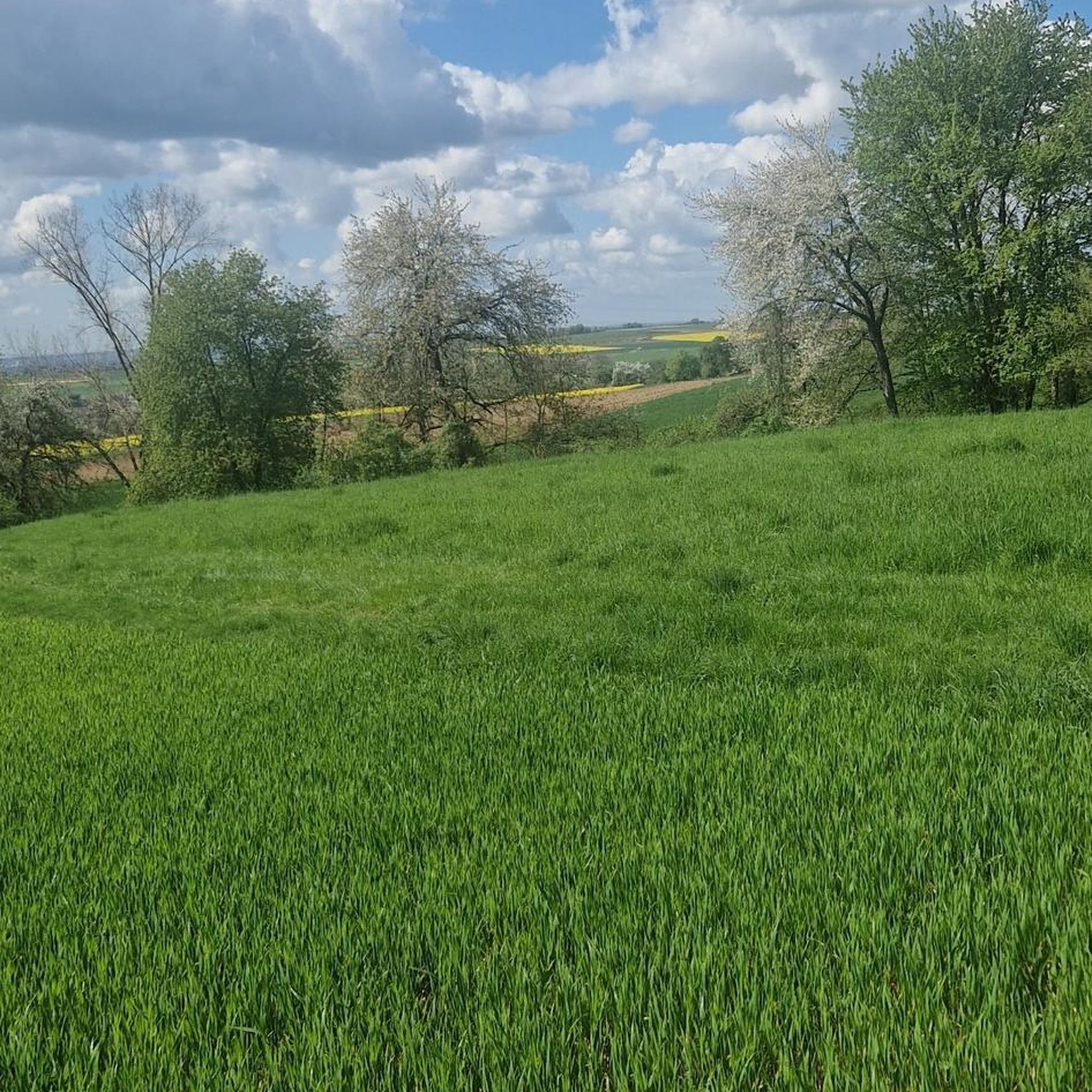
Hiking around Molschleben offers diverse trails at the foot of the Thuringian Forest, characterized by rolling hills and varied terrain. The region features a mix of green meadows and dense forests, providing a rich natural experience for hikers. The nearby "Hoher Meißner" Nature Reserve also contributes to the area's appeal with pristine forests and numerous lakes. This geographical position provides an ideal setting for various types of hikes.
Best hiking trails around Molschleben
- The most popular hiking route is Friemar…
Last updated: July 1, 2026
4.5
(22)
132
hikers
Easy hike. Great for any fitness level. Easily-accessible paths. Suitable for all skill levels.
4.3
(10)
25
hikers
6.65km
01:55
170m
170m
Easy hike. Great for any fitness level. Easily-accessible paths. Suitable for all skill levels.

Sign up for free
4.2
(5)
22
hikers
Easy hike. Great for any fitness level. Easily-accessible paths. Suitable for all skill levels.
5.0
(5)
20
hikers
Easy hike. Great for any fitness level. Easily-accessible paths. Suitable for all skill levels.
4.7
(3)
20
hikers
5.72km
01:29
30m
30m
Easy hike. Great for any fitness level. Easily-accessible paths. Suitable for all skill levels.
Get access to more routes and recommendations from other explorers.
Sign up for free
Already have an account?
Our route recommendations are based on thousands of hikes, rides, and runs completed by other people on komoot.
Start today with a free account
Your next adventure awaits.
Login or Signup
Tips from the Community

Unfortunately, I couldn't go in. Next time, I'll definitely go.
0
0

Beautifully built in 1999 – please treat with care! It's open – so it's protected from the rain if you get caught in a surprise.
0
0

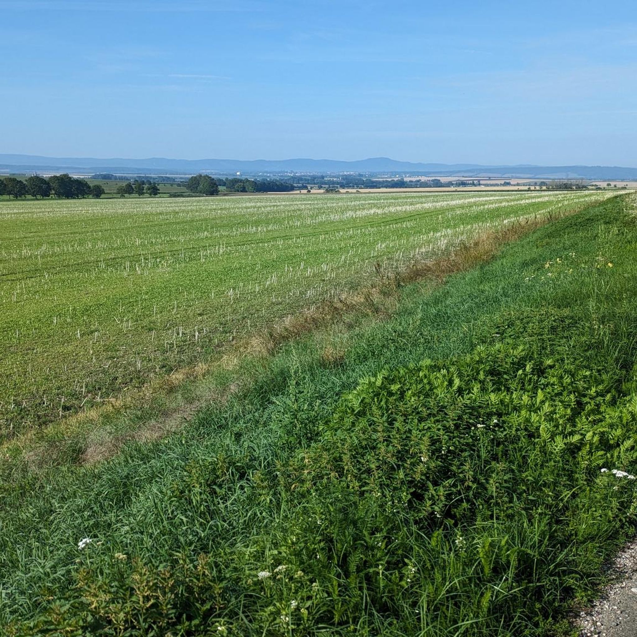
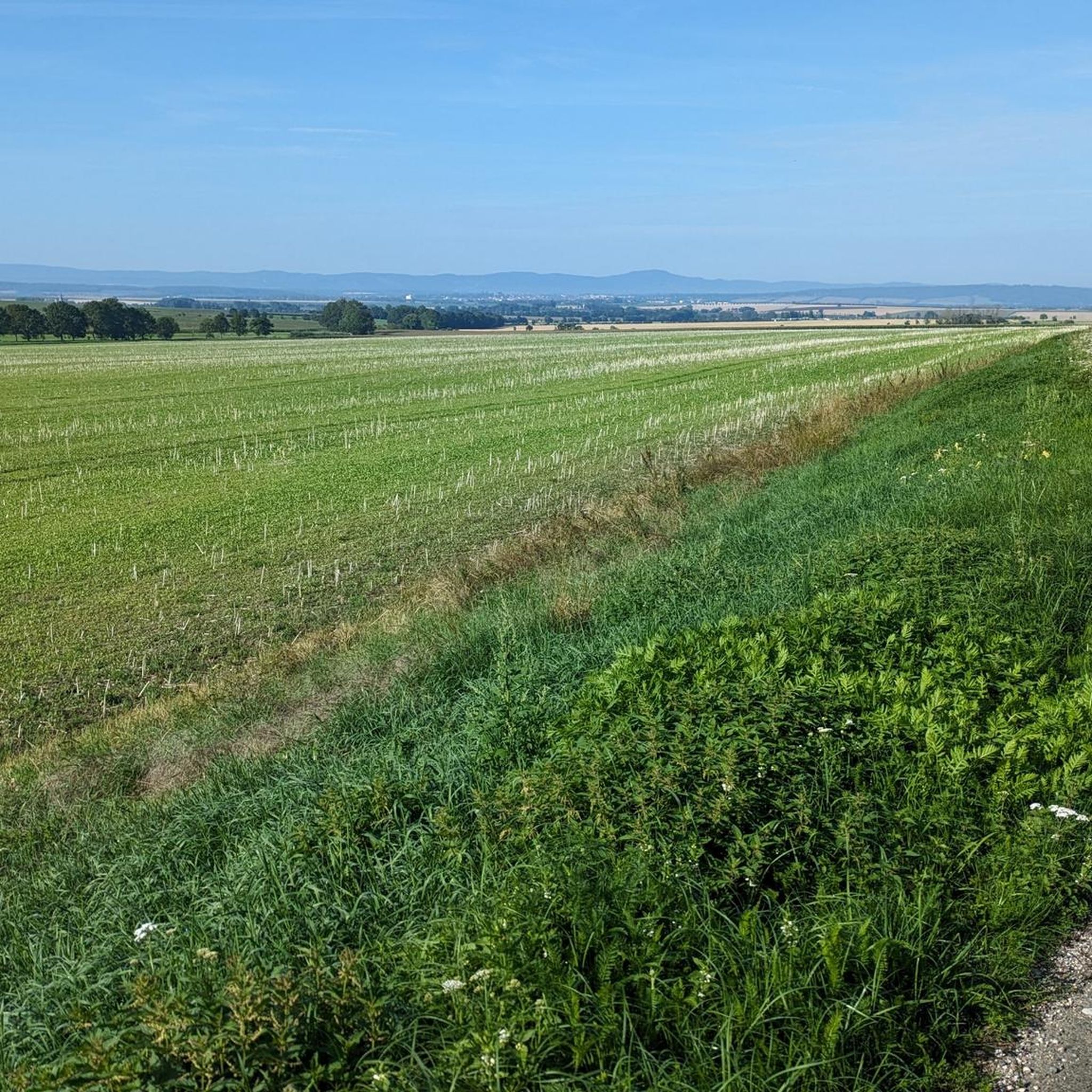
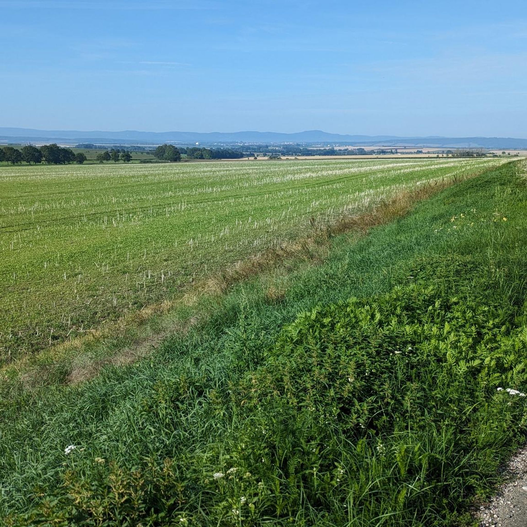
Even though the path is not well maintained, this section of the Luther Trail offers occasional seating and a magnificent view of Kleinfahner.
0
0
Extremely friendly staff who even help you find your way.
0
0
Huge buildings and always beautiful to look at, whether in cities or villages.
0
0

Just a few meters from the path is this lost place, which appears to have been an old Soviet Army building. Be careful, as the building is definitely very dilapidated.
0
0
Beautiful and varied gravel road.
0
0

Kleinfahner and the Fahner Mill are at your feet, embedded in the beautiful landscape. A short walk to the Fahner Höhe is a perfect break.
1
0
Frequently Asked Questions
How many hiking trails are available around Molschleben?
Molschleben offers an extensive network of nearly 660 hiking trails. These routes cater to various preferences, with over 370 easy trails, 260 moderate options, and 18 more challenging routes.
What kind of landscapes can I expect to see while hiking in Molschleben?
Hiking in Molschleben takes you through diverse and picturesque landscapes. You'll find trails winding through lush green meadows, dense forests, and gently rolling hills, characteristic of the region at the foot of the Thuringian Forest. The nearby "Hoher Meißner" Nature Reserve also features pristine forests and numerous lakes and ponds.
Are there any family-friendly hiking trails in Molschleben?
Yes, Molschleben is great for families! The region offers many easy, well-signposted trails. The "Fairytale Trail" is specifically designed for families, allowing young adventurers to enjoy nature with engaging stories. Many routes are mostly flat, making them accessible for children.
What is the best time of year to go hiking in Molschleben?
Molschleben is particularly beautiful for hiking from spring through autumn. Spring brings blossoming nature, while autumn showcases vibrant foliage. The mild weather during these seasons makes for comfortable hiking conditions through meadows and forests.
Are there any circular hiking routes available?
Yes, many of the trails around Molschleben are circular routes, perfect for exploring the area without retracing your steps. An example is the Friemar Reservoir Nature Reserve – Friemar Reservoir loop from Friemar, which is an easy 4.8 km trail offering views around the nature reserve.
What do other hikers enjoy most about Molschleben's trails?
The hiking trails in Molschleben are highly rated by the komoot community, with an average score of 4.6 stars from over 1,600 reviews. Hikers often praise the varied terrain, the scenic views, and the extensive network of well-maintained paths that cater to all fitness levels.
Are there any viewpoints or landmarks to discover on the trails?
Absolutely! Many trails offer stunning views. For example, the Bienstädt Watchtower – View of Kleinfahner loop from Bienstädt provides panoramic vistas from a watchtower. You can also find natural monuments like Schwellenburg Hill or explore historical sites such as the Gotha Casemates nearby.
Can I find trails that lead to interesting historical sites or castles?
Yes, the Molschleben area is rich in history. While hiking, you can explore nearby attractions such as Friedenstein Castle or the Gotha Orangery. Some routes, like the Boundary stone from 1720 – Bench at the Lightning Oak loop from Gierstädt, even pass by historical markers.
Are there any specific trails that offer particularly good views?
The "Panorama Trail" is renowned for offering breathtaking views of the surrounding countryside as it meanders through meadows and forests. Additionally, the Seeberg View Towards Gotha and Siebleben and the View from Geiersberg are popular viewpoints in the region.
Are there any trails that pass by a hiking hut or a place to rest?
Yes, some trails lead to or pass by hiking huts, offering a convenient spot for a break. For instance, the Fahner Höhe hiking hut – Großfahner Forest Hut loop from Gierstädt is a 6.0 km trail that takes you through forested areas directly to a hiking hut.
What is the general difficulty level of hikes around Molschleben?
Molschleben offers a wide range of difficulty levels. The majority of trails are classified as easy (over 370 routes), making them suitable for casual walkers and families. There are also plenty of moderate options (267 routes) for those seeking a bit more challenge, and a few difficult trails (18 routes) for experienced hikers.
Most popular routes around Molschleben
Most popular attractions around Molschleben

Get inspired with the komoot mobile app


Explore more
Browse the best Hikes in other regions.
