The best road cycling routes in Montana
4.4
(50)
1,600
riders
106
rides
Road cycling routes in Montana traverse a diverse landscape characterized by rugged mountains, expansive river valleys, and vast plains. The state offers varied terrain, from challenging alpine climbs to scenic rides alongside large freshwater lakes. Cyclists can explore areas with significant elevation changes, such as those crossing the Continental Divide, or enjoy more gentle routes through pastoral settings. This geography provides a range of road cycling experiences across Montana's "Big Sky Country."
Best road cycling routes in Montana
- The most popular road cycling route is Going-to-the-Sun Road, a 100.3 miles (161.5 km) trail that takes 9 hours 24 minutes to complete. This iconic route offers significant elevation gain through Glacier National Park, providing panoramic views of glacier-carved peaks.
- Another top favourite among local road cyclists is Beartooth Pass from Red Lodge, a difficult 61.5 miles (99.0 km) path. This route is known for its spectacular alpine vistas and high-altitude challenges.
- Local road cyclists also love the Bitterroot Trail, a 25.8 miles (41.6 km) trail leading through the Bitterroot Valley, often completed in about 2 hours 4 minutes.
- Road cycling in Montana is defined by rugged mountains, expansive river valleys, and large freshwater lakes, with routes catering to various abilities. The network includes easy paths, moderate rides, and strenuous climbs.
- The routes in Montana are highly rated by the komoot community with an average score of 4.4 stars from over 50 reviews. More than 1600 road cyclists have used komoot to explore Montana's varied terrain.
Last updated: September 27, 2026
4.7
(3)
52
riders
29.5km
01:17
270m
270m
The Whitefish Lake Loop offers a refreshing road cycling experience, winding through picturesque forests and along the shores of Whitefish Lake. You'll enjoy stunning mountain views and the chance to spot local wildlife as you pedal through the scenic Flathead National Forest. This route provides a gentle introduction to the region's beauty, with mostly paved surfaces making for a smooth ride.
This easy cycling route covers 18.3 miles (29.5 km) with a modest 870 feet (265 metres) of elevation gain, typically taking about 1 hours and 16 minutes to complete. It's an ideal choice for a relaxed outing, perfect for families or those new to road cycling. Parking is generally available near Whitefish City Beach or in downtown Whitefish, making access straightforward.
This loop provides an approachable segment of the iconic Great Divide Mountain Bike Route, allowing you to experience a piece of the world's longest off-pavement cycling route in a more accessible format. The area is rich in wildlife, so keep an eye out for moose, elk, and deer, and always be bear aware while enjoying the beautiful Flathead Valley.
5.0
(1)
50
riders
29.5km
01:50
430m
430m
The Hyalite Reservoir North Shore route offers a truly scenic road cycling experience, leading you through a gentle forested climb that gradually opens up to reveal stunning mountain vistas. You'll pedal past dense timber and alpine meadows, with the highlight being the tranquil Hyalite Reservoir itself, a large lake set against a dramatic Rocky Mountain backdrop. This moderate ride covers 18.3 miles (29.5 km) with 1415 feet (431 metres) of elevation gain, typically taking around 1 hour and 49 minutes, making it a great option for those seeking a sustained ascent and beautiful natural features Hyalite Reservoir road cycling has to offer.
Planning your trip around the Hyalite Canyon cycling seasons is crucial. From April 1st to May 15th each year, Hyalite Canyon Road is closed to motorized vehicles, offering an exclusive and serene cycling window. This is arguably the best time to experience the route without traffic. While much of the road is paved, be aware that some sections closer to the reservoir can become unpaved dirt or gravel, which might be a challenge for standard road bikes. Always check current conditions before you go.
Beyond the cycling, the Hyalite Canyon is a haven for wildlife, with opportunities to spot moose, mountain goats, and various bird species. The reservoir itself operates under a "no wake" rule, ensuring a peaceful environment for non-motorized activities. This focus on preserving the natural tranquility makes the Hyalite Reservoir North Shore road cycling difficulty feel well worth the effort, providing a unique blend of physical challenge and natural immersion.

4.5
(4)
38
riders
41.6km
02:05
120m
120m
Cycle the moderate Bitterroot Trail, a 25.9-mile paved route through Montana's scenic Bitterroot Valley with mountain and river views.
36
riders
99.0km
05:28
2,120m
2,120m
Road cycling the Beartooth Pass from Red Lodge is a difficult 61.5-mile climb with spectacular alpine views and high-altitude challenges.
29
riders
34.5km
01:57
420m
420m
The East Missoula loop is a moderate 21.4-mile road cycling route with 1393 feet of elevation gain, offering scenic views of Missoula.
15
riders
50.9km
02:08
190m
190m
The Missoula/Clark Fork River loop offers road cyclists a scenic journey through urban landscapes and natural riverine beauty. You'll follow the Clark Fork River, enjoying picturesque views of the water and Missoula's cityscape, passing by notable spots like McCormick Park and the University of Montana. While much of the 31.6-mile (50.9 km) route is paved, be aware that some sections, particularly where it connects to the Kim Williams Trail, may transition to unpaved gravel and dirt, adding a moderate challenge to the 617 feet (188 metres) of elevation gain.
This popular route is maintained year-round, making it accessible in all seasons, though winter cycling might require specific gear like studded tires. The loop's proximity to downtown Missoula means you can easily find places to eat or grab a drink before or after your ride. Most riders complete the circuit in about 2 hours and 8 minutes, so plan accordingly for a rewarding outing.
Considered the most popular road cycling route in Missoula, this loop is a central part of the city's extensive bike-friendly infrastructure. It connects numerous city parks, open spaces, and businesses, providing a comprehensive tour of the area. The dynamic scenery, especially the vibrant autumn colors, makes this a standout choice for exploring Missoula by bike.
14
riders
162km
09:24
2,670m
2,670m
Cycling the Going-to-the-Sun Road is an epic undertaking, a difficult 100.4-mile (161.5 km) journey that climbs 8755 feet (2668 metres) over roughly 9 hours and 23 minutes. You'll wind through dense forests, past the serene waters of Lake McDonald and Saint Mary Lake, and ascend into a world of glacial-carved mountains, with waterfalls cascading down cliffs and intimate views of the park's raw beauty. The terrain is entirely paved but relentlessly challenging, making it a true test of endurance and a rewarding experience for advanced cyclists.
To make the most of your ride, aim for the
5.0
(1)
11
riders
37.5km
01:47
90m
90m
The Great Northern Historical Trail offers a delightful journey through Montana's Flathead County, following an old railway line. You'll pedal past cultivated fields and pastures, with impressive views of the Swan, Mission, Salish, and Whitefish mountain ranges, and even glimpses of Glacier National Park mountains. The eastern endpoint in Somers provides access to the stunning Flathead Lake, the largest natural freshwater lake west of the Continental Divide, making for a picturesque finish.
This easy road cycling route covers 23.3 miles (37.5 km) with a minimal 308 feet (94 metres) of elevation gain, taking approximately 1 hour and 46 minutes to complete. It's a family-friendly, multi-use trail that welcomes dogs. You can access the trail from Somers, Kalispell, or Kila, and bike repair stations are conveniently located in Somers and Kila.
Historically significant as a former railway corridor, the trail is a testament to the efforts of Rails to Trails of Northwest Montana, converting disused lines into community assets. While mostly serene, be aware that some portions run parallel to busy highways, which can introduce some road noise. It's an excellent choice for beginner road cycling or anyone seeking a relaxed ride with varied scenery.
5.0
(1)
11
riders
155km
07:48
370m
370m
Imagine cycling through a vast Montana valley, with the imposing Bitterroot Mountains rising to your west and the gentler Sapphire Mountains to your east. The Bitterroot Trail offers this experience, a fully paved path that frequently traces the Bitterroot River, where you might catch glimpses of golden cottonwoods, especially vibrant in autumn. This difficult road cycling route spans 96.5 miles (155.4 km) with 1223 feet (373 metres) of elevation gain, taking about 7 hours and 47 minutes to complete.
This long-distance trail connects Missoula to Hamilton, passing through charming communities like Lolo and Stevensville. Parking is readily available at various park and ride lots along US Highway 93, making access straightforward. While direct trailside amenities are sparse, you can find water, restrooms, and food in the towns along the way. Consider starting early to make the most of the day, especially for the full length.
The Bitterroot Trail is a testament to local commitment, providing a safe, off-highway alternative to cycling on busy US Highway 93. It's a versatile route, ideal for road bikes but also suitable for hybrids, offering a unique perspective on the Bitterroot Valley's natural beauty and small-town charm. The trail's development, including a crucial 8-mile stretch completed with a federal TIGER grant, highlights its importance to the region.
2
riders
139km
06:17
1,370m
1,370m
Cycle the Flathead Lake century loop, a difficult 86.5-mile route with 4502 feet of elevation gain and stunning lake and mountain views.
Get access to more routes and recommendations from other explorers.
Already have an account?
Our route recommendations are based on thousands of hikes, rides, and runs completed by other people on komoot.
Start today with a free account
Your next adventure awaits.
Popular around Montana

Road Cycling Routes in Missoula County
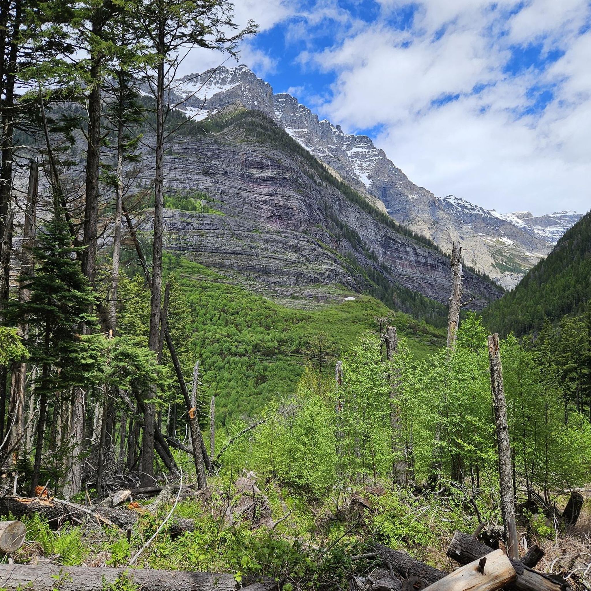
Road Cycling Routes in Flathead County
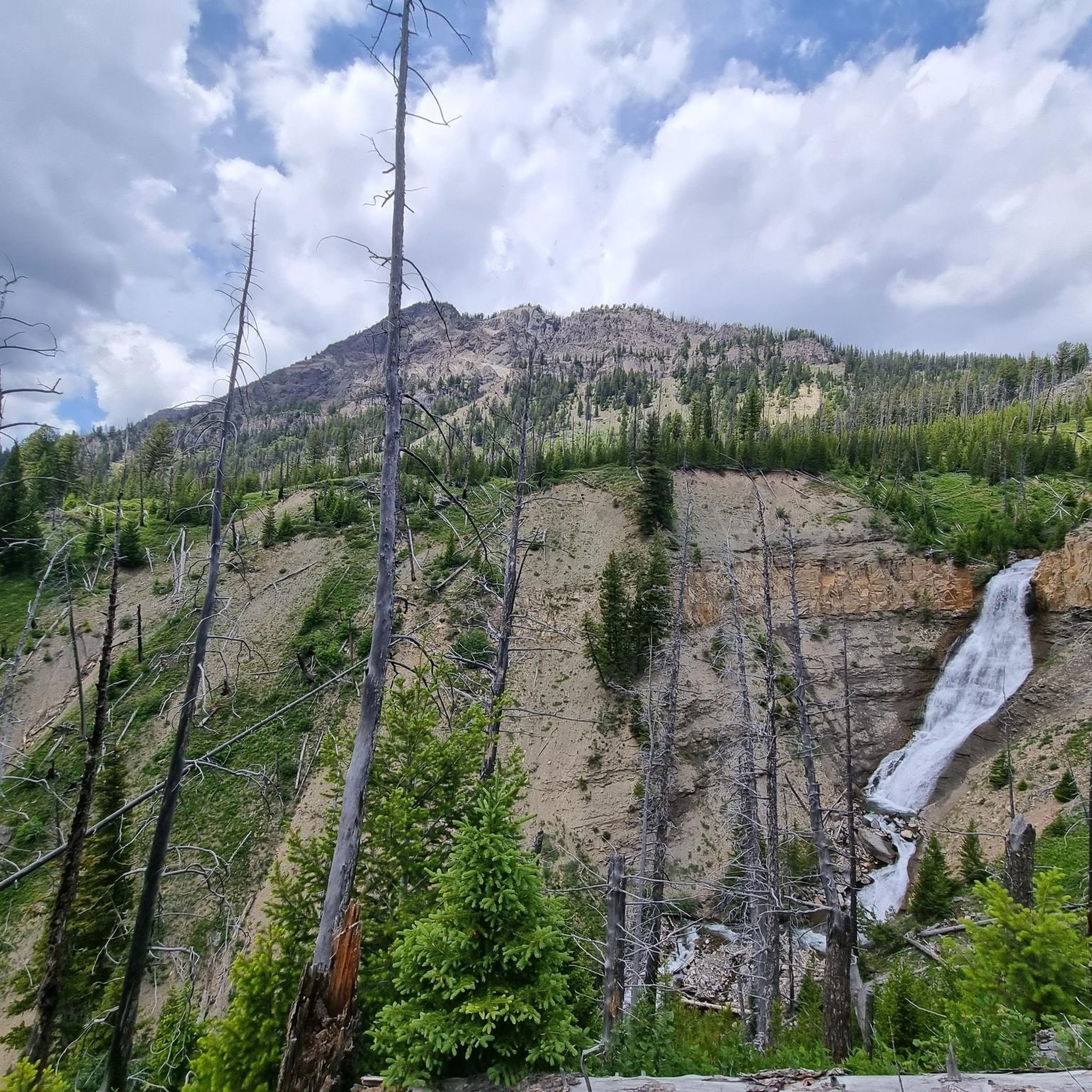
Road Cycling Routes in Custer Gallatin National Forest
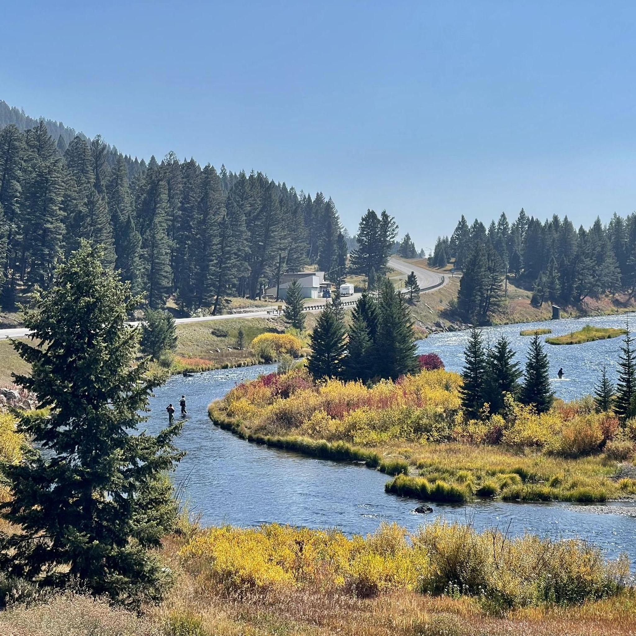
Road Cycling Routes in Gallatin County
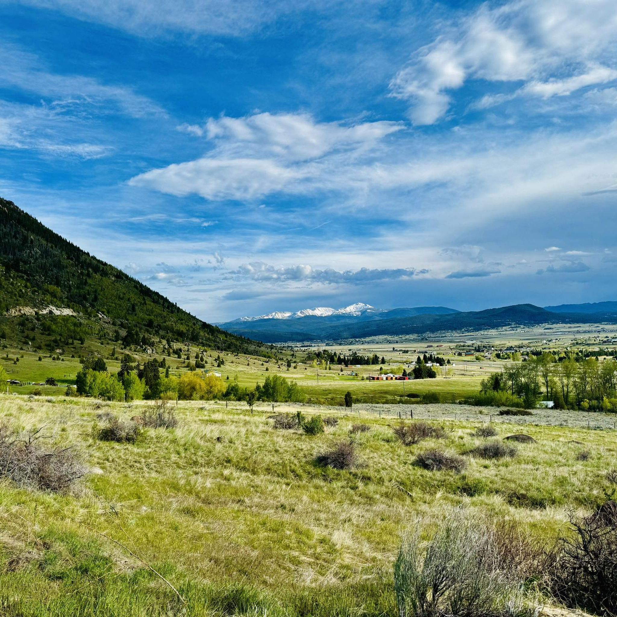
Road Cycling Routes in Beaverhead-Deerlodge National Forest
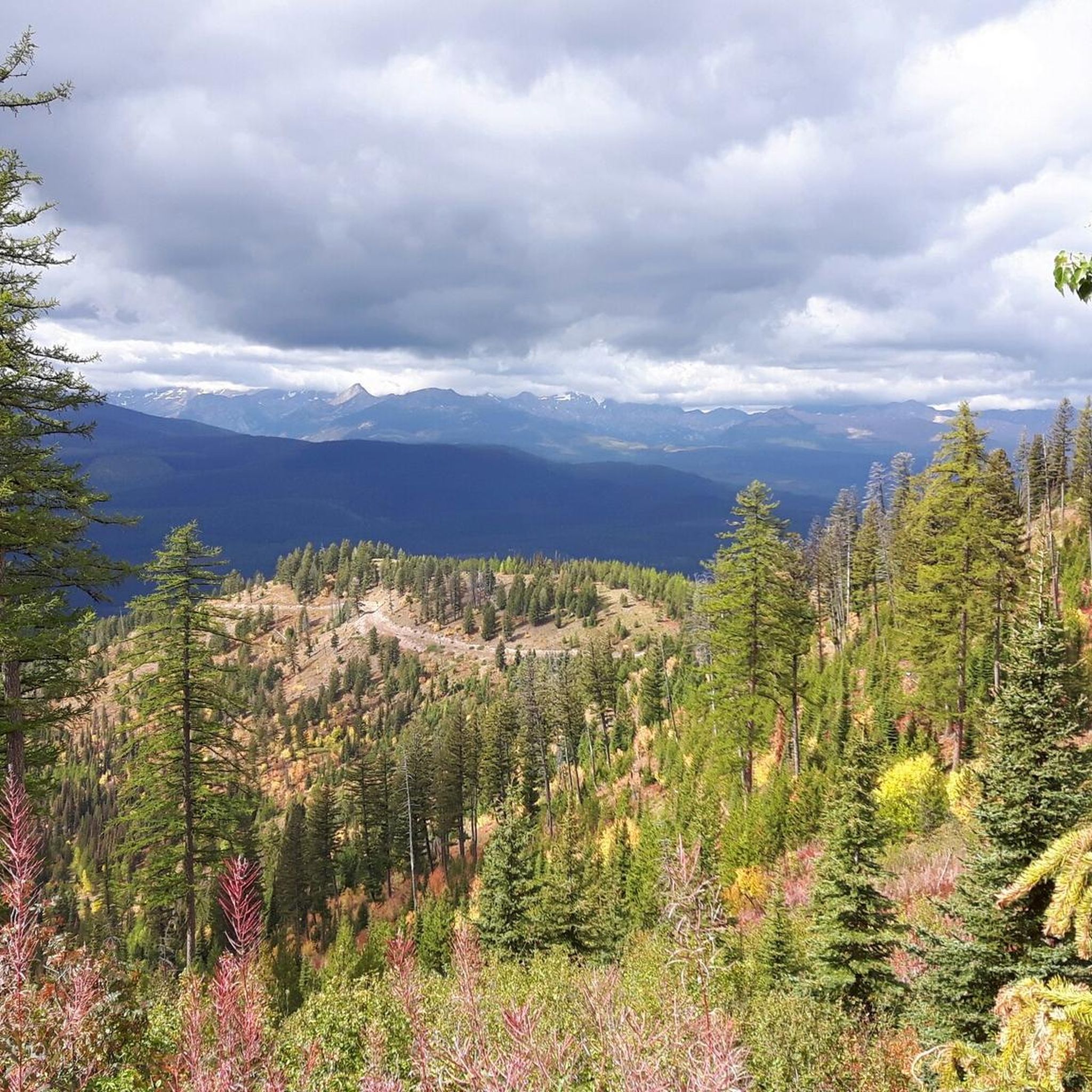
Road Cycling Routes in Lolo National Forest
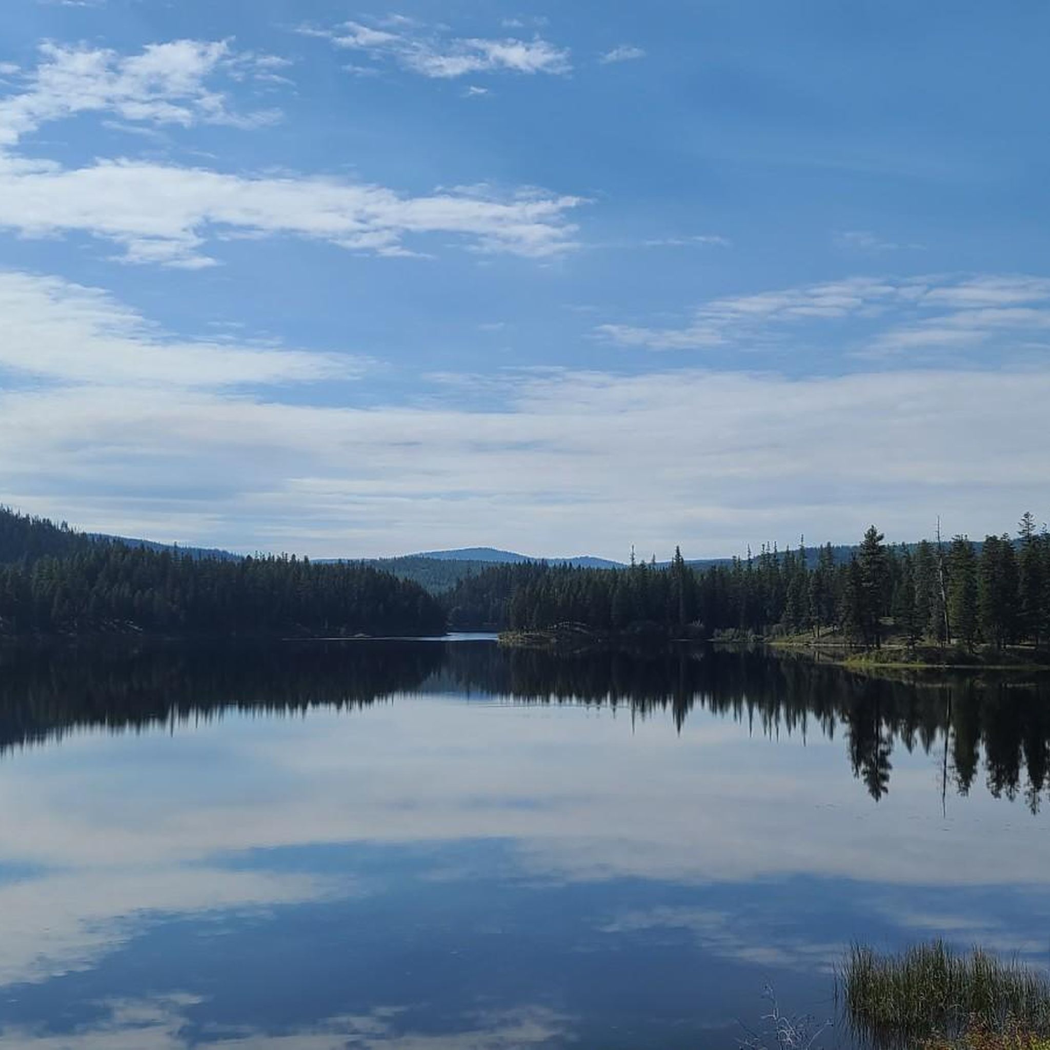
Road Cycling Routes in the Cabinet Mountains
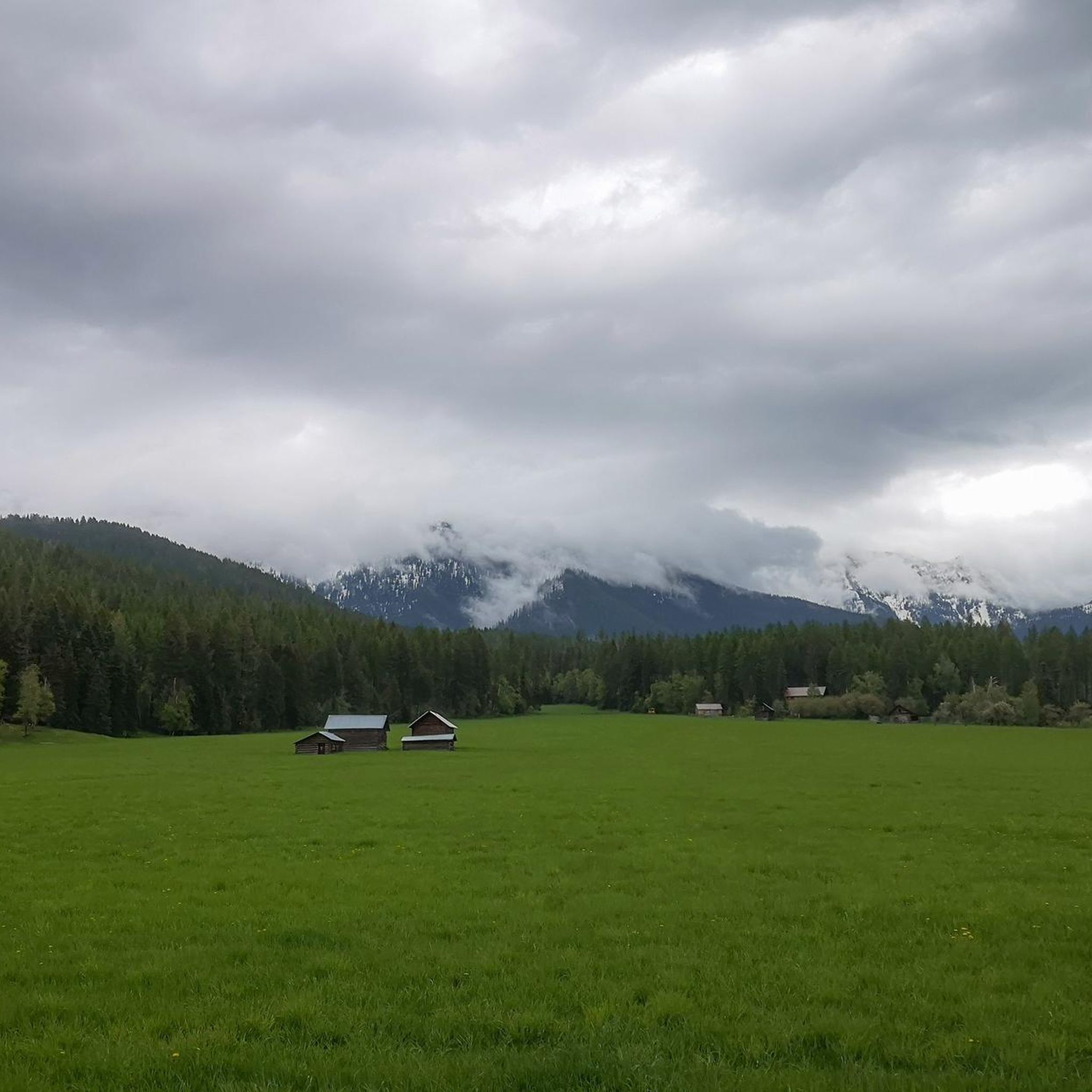
Road Cycling Routes in the Swan Range
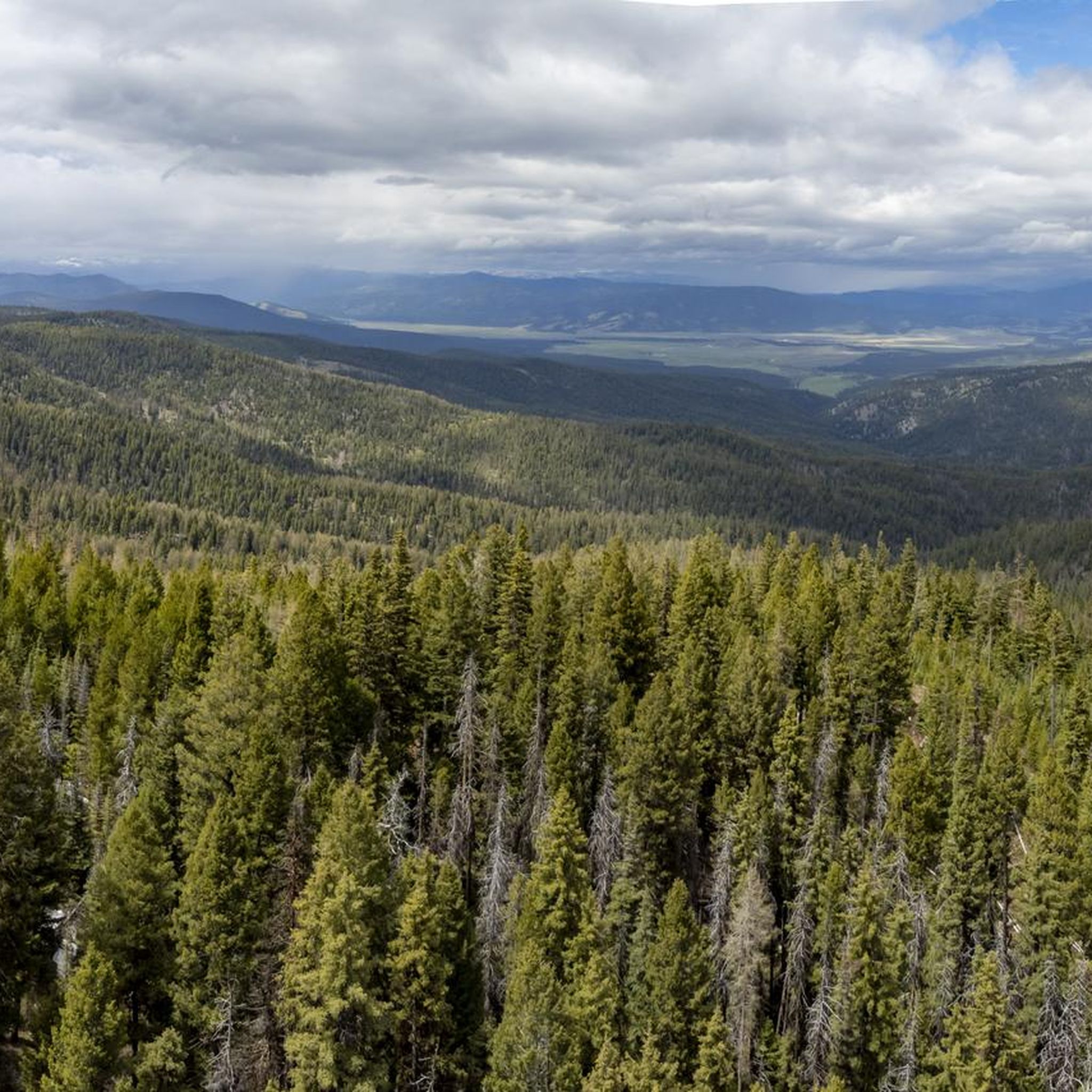
Road Cycling Routes in the Sapphire Mountains
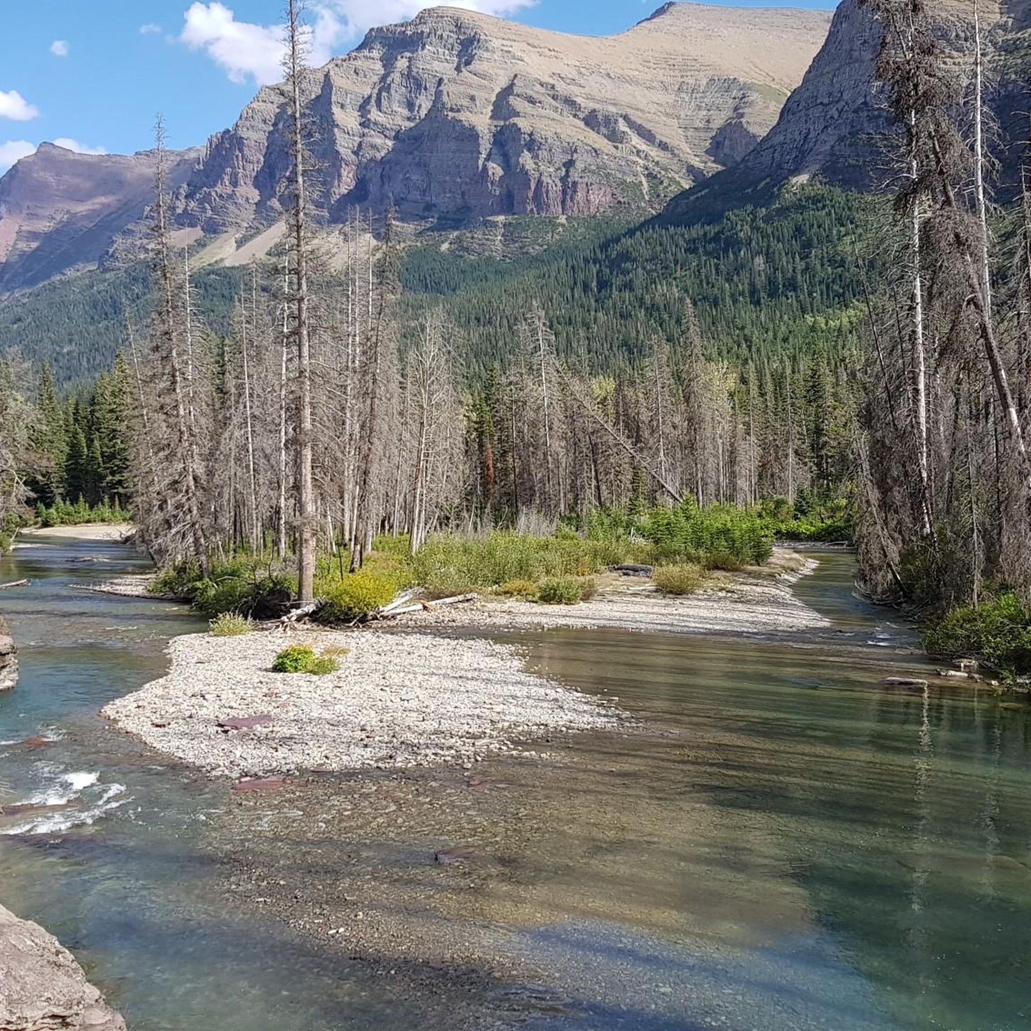
Road Cycling Routes in Glacier County
Other adventures in Montana


Tips from the Community


Jacob's Island is a dog park on the banks of Clark Fork River. The park is 6-acres and the river works as a beautiful natural barrier for the dogs. It also offers a series of paved and unpaved trails, benches, picnic tables and dog-waste bags.
0
0
Jacob's Island is a dog park on the banks of Clark Fork River. The park is 6 acres and the river works as a beautiful natural barrier for the dogs. It also offers a series of paved and unpaved trails, benches, picnic tables and dog-waste bags.
0
0
The Clark Fork River is one of the longest stretches of water in Montana. Along with its tributaries, they are some of the most popular fly fishing destinations in the United States.
1
0

Fed by the Flathead River, Flathead Lake is home to Trout, Whitefish and Pikeminnow. There are several islands on this lake but Wild Horse Island is the largest.
0
0
Jackson Glacier Overlook has one of the best views of a glacier on the Going-to-the-Sun Road. In 1966, Jackson Glacier measured 316 acres but by 2015 it had receded 187 acres. Jackson Glacier is visible from the parking area and road, and is where the Gunsight Lake begins.
0
0

McCormic Park marks the western terminus of the Kim Williams Trail and the eastern terminus of the Milwaukee Trail. The park has some playing fields, open space, picnic areas, and is nestled up right next to the river.
0
0
A man made body of water between Bozeman and Yellowstone. It is at an elevation of 6,699 feet above seal level. The paves road follows most of the north side of the reservoir.
0
0
Frequently Asked Questions
What is the difficulty range of road cycling routes in Montana?
Montana offers a diverse range of road cycling routes to suit various skill levels. You'll find approximately 32 easy routes, 54 moderate routes, and 15 difficult routes, providing options from gentle rides through valleys to challenging alpine climbs.
Are there challenging climbs for experienced road cyclists in Montana?
Absolutely. Montana is renowned for its strenuous climbs. The iconic Going-to-the-Sun Road in Glacier National Park offers significant elevation gain and panoramic views. Another formidable challenge is Beartooth Pass from Red Lodge, known for its spectacular alpine vistas and high-altitude demands.
When is the best time of year for road cycling in Montana?
The best time to road cycle in Montana is generally from late spring to early fall, specifically May to September. During these months, the weather is most favorable, landscapes are lush, and snow-capped mountains create picturesque scenes. Always check local conditions, especially for high-altitude passes like Going-to-the-Sun Road, which may have seasonal closures due to snow.
What scenic landmarks can I expect to see while road cycling in Montana?
Montana's 'Big Sky Country' offers breathtaking scenery. Along routes like the Going-to-the-Sun Road, you can witness glacier-carved peaks and pristine alpine lakes. Other routes may lead you past the stunning Logan Pass, the dramatic Avalanche Creek Gorge, or offer views of the Bitterroot and Mission Mountains.
Are there family-friendly road cycling routes in Montana?
Yes, Montana has several easy routes suitable for families. The Great Northern Historical Trail is an excellent option, offering a gentle ride. Another accessible choice is the Silver Bow Creek and BA&P Trail Loop, which provides a relatively flat and enjoyable experience.
What do other road cyclists enjoy most about road cycling in Montana?
The komoot community highly rates road cycling in Montana, with an average score of 4.4 stars from over 50 reviews. Cyclists frequently praise the diverse terrain, from rugged mountains to expansive river valleys, and the stunning natural beauty that defines the 'Big Sky Country'.
Are there routes that offer views of Montana's famous lakes or rivers?
Many routes in Montana provide picturesque views of its natural waterways. The Hyalite Reservoir North Shore route near Bozeman offers beautiful mountain and reservoir views. Additionally, routes around Flathead Lake, the largest natural freshwater lake in the western United States, provide clear blue waters and scenic towns. The Missoula/Clark Fork River loop also follows a significant river.
What should I know about permits or access for road cycling in Montana's national parks?
When planning to cycle in national parks like Glacier National Park, especially on routes such as the Going-to-the-Sun Road, it's crucial to check for specific entry reservations or permits, which may be required during peak seasons. These parks often have seasonal road closures and specific regulations for cyclists, so always consult the official park website before your visit.
Are there many loop road cycling routes in Montana?
Yes, Montana offers several excellent loop routes for road cyclists. Examples include the East Missoula loop and the Silver Bow Creek and BA&P Trail Loop, which allow you to start and finish at the same point, offering convenient exploration of the local scenery.
Can I find long-distance road cycling routes in Montana?
Montana is home to several long-distance road cycling opportunities. The Going-to-the-Sun Road, at over 100 miles, is a significant undertaking. Additionally, sections of the Bitterroot Trail offer extended rides through scenic valleys, and the state is traversed by parts of the Lewis & Clark Bicycle Trail and TransAmerica Bicycle Trail for those seeking multi-day adventures.
Are there road cycling routes that pass through charming towns or historical sites?
Many of Montana's road cycling routes offer a blend of natural beauty and cultural exploration. The Bitterroot Valley, for instance, provides routes like the Bitterroot Trail that pass through pastoral scenes and charming small towns. Longer routes like the Lewis & Clark Bicycle Trail also allow cyclists to experience Montana's backroads and historical sites.
Most popular routes in Montana
Most popular attractions in Montana

Get inspired with the komoot mobile app


Didn’t find what you were looking for?
Check out more Road cycling routes throughout Montana below and find the perfect route in your destination.
Explore more
Browse the best Road cycling routes in other regions.
