The best walks and hikes around Moordiek
4.6
(2253)
8,230
hikers
608
hikes
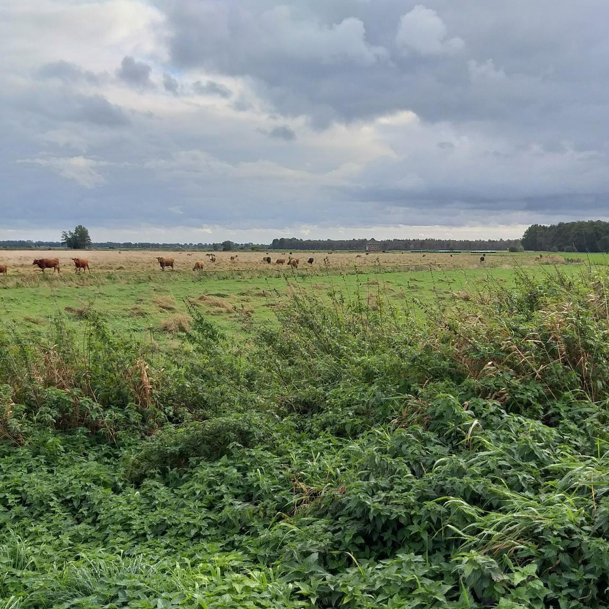
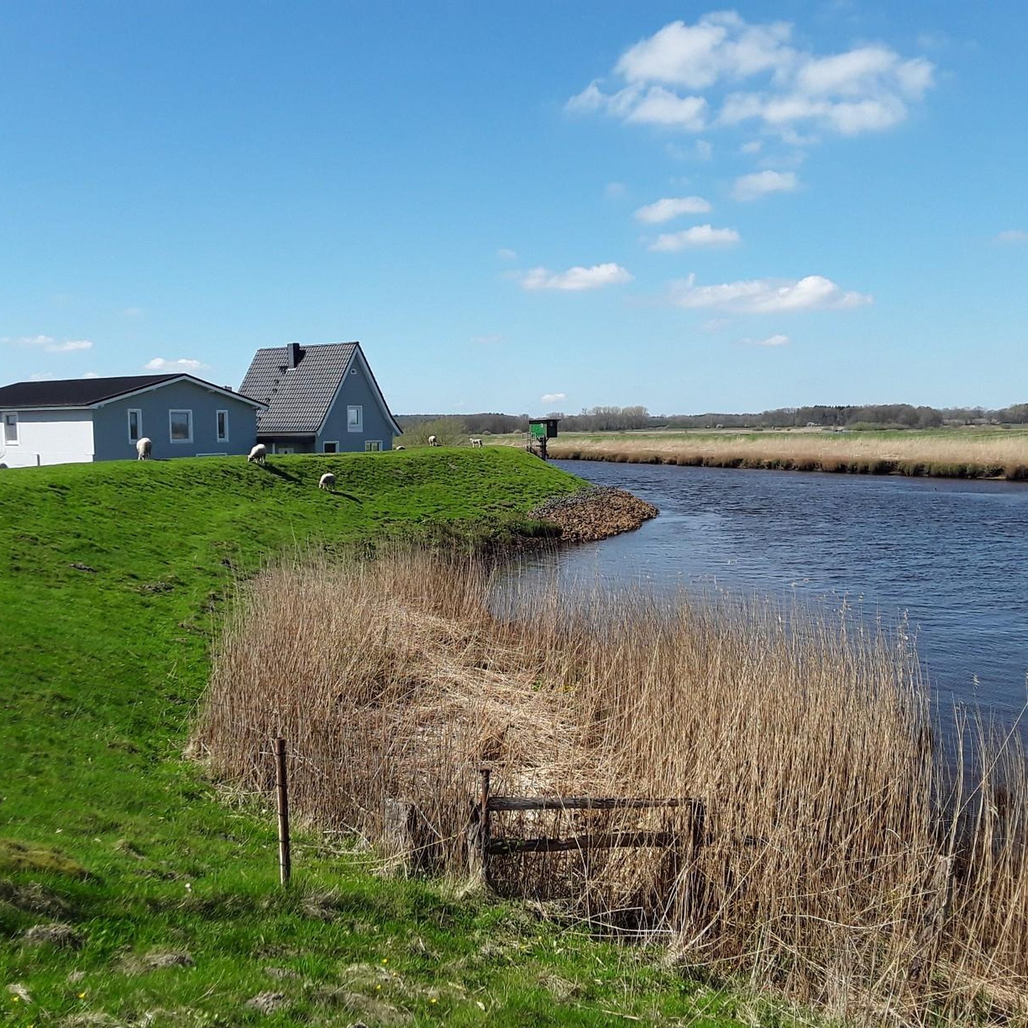
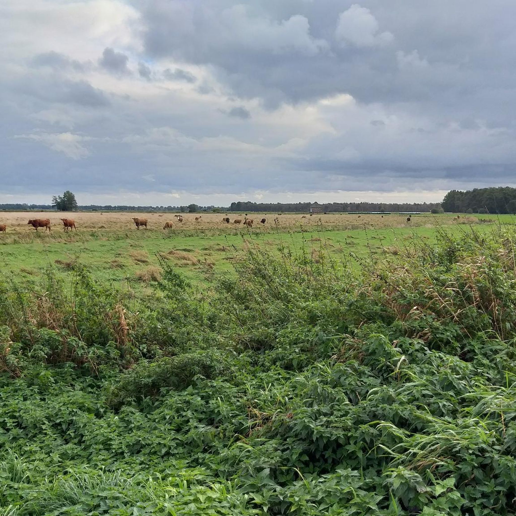
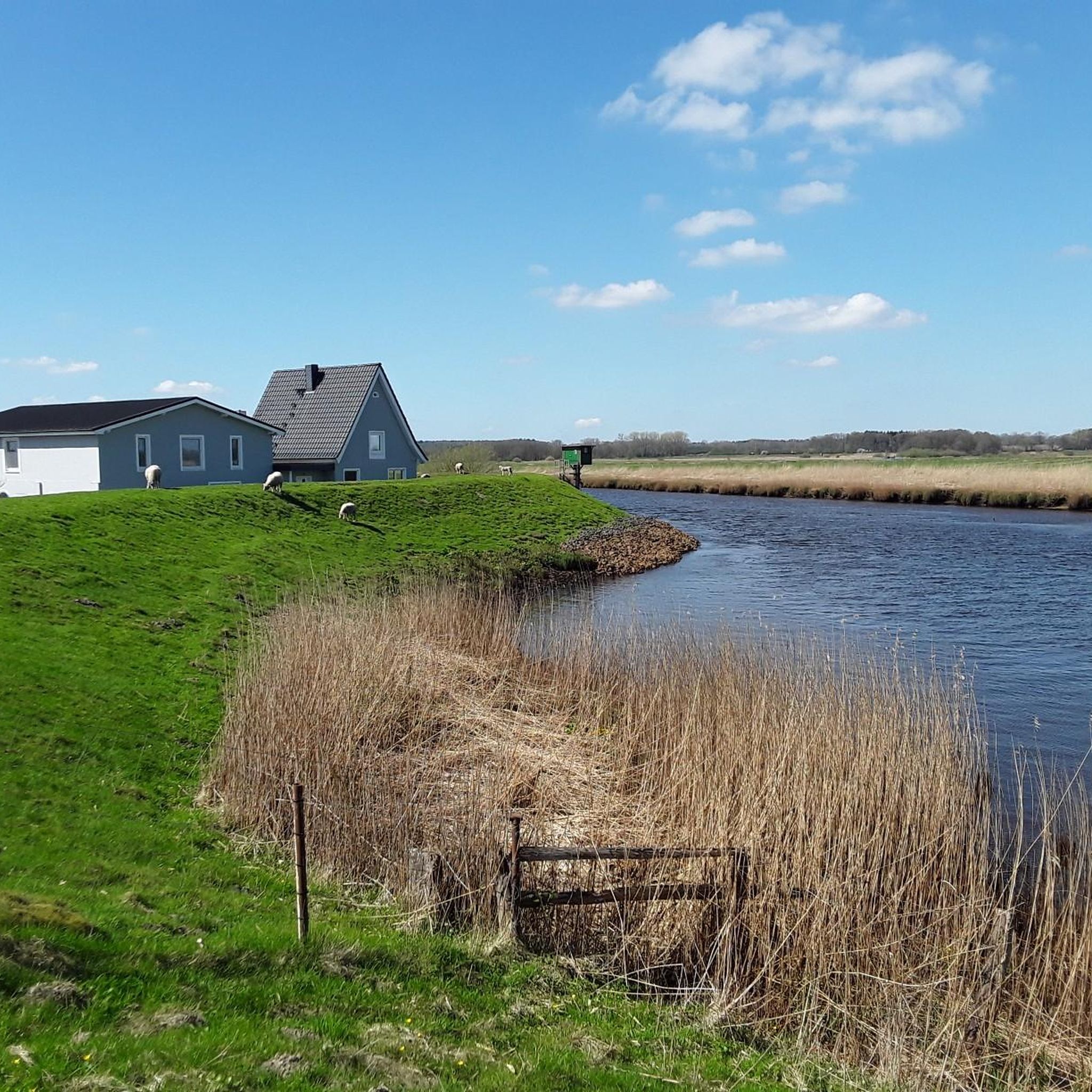
Hiking around Moordiek offers access to distinctive moorland landscapes, including the Breitenburger Moor and Tütigmoor. The region is characterized by nutrient-poor, acidic conditions that support specialized flora and fauna. The Hörner Au river runs along the southern border, adding riparian elements to the local environment. This area provides a mix of geest and marsh landscapes, typical of Schleswig-Holstein.
Best hiking trails around Moordiek
- The most popular hiking route is Former Nuclear Weapons Bunkers loop from Mühlenbarbek, an 8.2 miles (13.3…
Last updated: July 6, 2026
5.0
(3)
27
hikers
7.00km
01:46
10m
10m
Easy hike. Great for any fitness level. Easily-accessible paths. Suitable for all skill levels.
4.5
(2)
7
hikers
13.0km
03:17
20m
20m
Moderate hike. Good fitness required. Easily-accessible paths. Suitable for all skill levels.

Sign up for free
5.0
(1)
7
hikers
7.63km
01:55
10m
10m
Easy hike. Great for any fitness level. Easily-accessible paths. Suitable for all skill levels.
5.0
(4)
10
hikers
7.08km
01:47
10m
10m
Easy hike. Great for any fitness level. Easily-accessible paths. Suitable for all skill levels.
5.0
(1)
4
hikers
6.56km
01:39
0m
0m
Easy hike. Great for any fitness level. Easily-accessible paths. Suitable for all skill levels.
Get access to more routes and recommendations from other explorers.
Sign up for free
Already have an account?
Our route recommendations are based on thousands of hikes, rides, and runs completed by other people on komoot.
Start today with a free account
Your next adventure awaits.
Login or Signup

Tips from the Community

Also suitable for bicycles, but the track leading to the former peat factory is very bumpy.
0
0

The Saturn chalk pit in the municipalities of Breitenburg and Kronsmoor is a disused area for chalk mining owned by Holcim AG. The pit is about one kilometer long and about 700 meters wide. (Source: Wikipedia)
2
0

Traditional German cuisine in Moordiek. https://www.zumspiecker.de/
0
0

Unfortunately, the imposing Saturn chalk pit can only be seen from the point where the conveyor belt leads out of the pit via the Breitenburger Canal to Lägerdorf. Otherwise, the pit is surrounded by a stable metal construction site fence in a fairly complex, gently undulating terrain. Since operations ceased in 2002, the facilities are in ruins.
4
0
The moor itself can hardly be seen from the paths, but the background noise of the bird life can definitely be heard and is therefore a nice experience even without a view. Nevertheless, the Westerhorner Moor is only worthwhile if you pass by here anyway. Due to broken or private bridges, it is no longer possible to create a good circular route here.
0
0

Frequently Asked Questions
How many hiking trails are available around Moordiek?
There are over 580 hiking trails around Moordiek. These routes offer a diverse range of experiences, from easy strolls to more challenging excursions through the unique moorland landscapes.
What are the typical difficulty levels for hiking trails in Moordiek?
The trails around Moordiek cater to various fitness levels. You'll find a wide selection of easy routes, with over 430 available, perfect for a relaxed outing. There are also about 140 moderate trails for those seeking a bit more challenge, and a few difficult options for experienced hikers.
What unique natural features can I expect to see while hiking in Moordiek?
Moordiek is primarily known for its distinctive moorland environments, including the Breitenburger Moor and Tütigmoor. These areas are rich in specialized flora like cotton grass, sundew, and sphagnum moss, and provide habitats for unique fauna such as the moor frog and various dragonflies. The Hörner Au river also adds riparian elements to the landscape, offering varied scenery.
Are there any family-friendly hiking routes in Moordiek?
Yes, Moordiek offers several easy routes suitable for families. For a pleasant and accessible walk, consider the Stellau Fieldstone Church – St. Bartholomäus Church Wrist loop from Wrist, which is an easy 2.6 miles (4.1 km) path connecting historical churches through rural scenery.
Are dogs allowed on the hiking trails in Moordiek?
Generally, dogs are welcome on hiking trails in Moordiek. However, as many routes pass through sensitive natural areas like moorlands, it's important to keep dogs on a leash to protect wildlife and delicate ecosystems. Always be mindful of local regulations and other hikers.
What kind of natural landmarks or attractions can I explore near Moordiek's hiking trails?
Beyond the moorlands, you can discover several interesting spots. The Stellau Fieldstone Church is a notable religious building, and the Lohmühlenteich offers a scenic lake environment. For nature observation, consider visiting the Wildlife Observation Hut 2 (Rethwisch Wetland).
Are there any circular hiking routes in the Moordiek area?
Yes, many of the trails around Moordiek are designed as circular routes, allowing you to start and end at the same point. An example is the Hohenfelder Moor – Torfmoorsee loop from Torfwerk, a 4.7 miles (7.6 km) trail that takes you through moorland and past a peat bog lake.
What is the best time of year to go hiking in Moordiek?
Moordiek offers unique hiking experiences throughout the year. Spring and summer are ideal for enjoying the vibrant flora, especially in May when cotton grass creates a 'white week' spectacle. Autumn and winter provide a romantic, misty atmosphere, perfect for tranquil nature immersion. Always check local weather conditions before heading out.
What do other hikers enjoy most about hiking in Moordiek?
The area is highly rated by the komoot community, with an average score of 4.6 stars from over 2,100 reviews. Hikers often praise the tranquil moorland landscapes, the diverse natural features, and the well-maintained paths that allow for immersive nature experiences away from the hustle and bustle.
Are there any longer, more challenging hikes available near Moordiek?
For those looking for a longer and moderately challenging hike, the Former Nuclear Weapons Bunkers loop from Mühlenbarbek is a great option. This 8.2 miles (13.3 km) trail takes approximately 3 hours 23 minutes to complete and explores varied terrain and historical points of interest.
Can I find places to rest or take shelter along the trails?
Yes, there are several huts and shelters in the vicinity that can serve as resting points or provide shelter. For example, you might encounter the Large shelter with nature information or the Forest Living Room with Wooden Sofa and TV, offering unique spots to pause during your hike.
Is it possible to access hiking trails in Moordiek using public transport?
While specific public transport connections directly to all trailheads might be limited, Moordiek's location near towns like Itzehoe suggests that regional bus services could provide access to the general area. It's advisable to check local public transport schedules for routes that pass closest to your desired starting points.
Are there any cafes or amenities near the hiking routes in Moordiek?
The region around Moordiek, being a rural area, may have fewer direct amenities on the trails themselves. However, routes like the Café Cortin – St. Bartholomäus Church Wrist loop from Wrist suggest that some trails connect to villages or towns where cafes or other services might be available. Planning ahead for refreshments is recommended.
Most popular attractions around Moordiek

Get inspired with the komoot mobile app


Explore more
Browse the best Hikes in other regions.
