The best walks and hikes around Muckendorf-Wipfing
4.6
(2179)
10,480
hikers
574
hikes
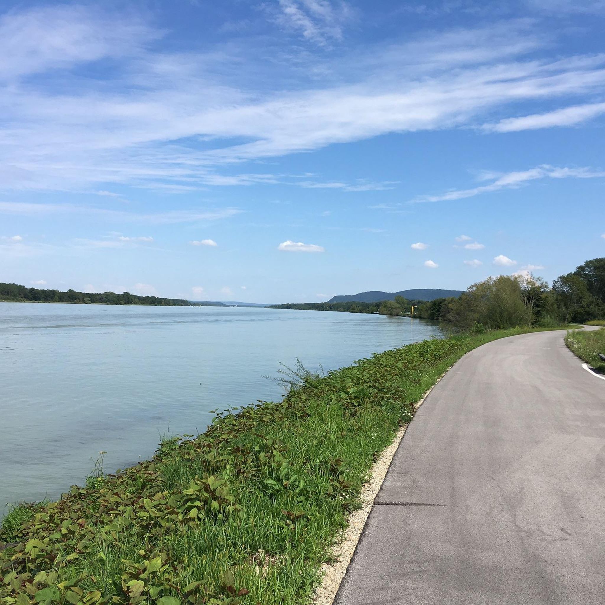
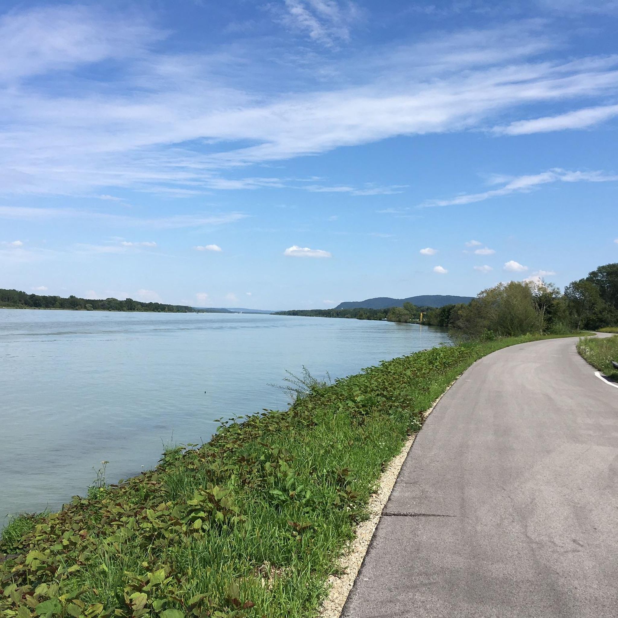
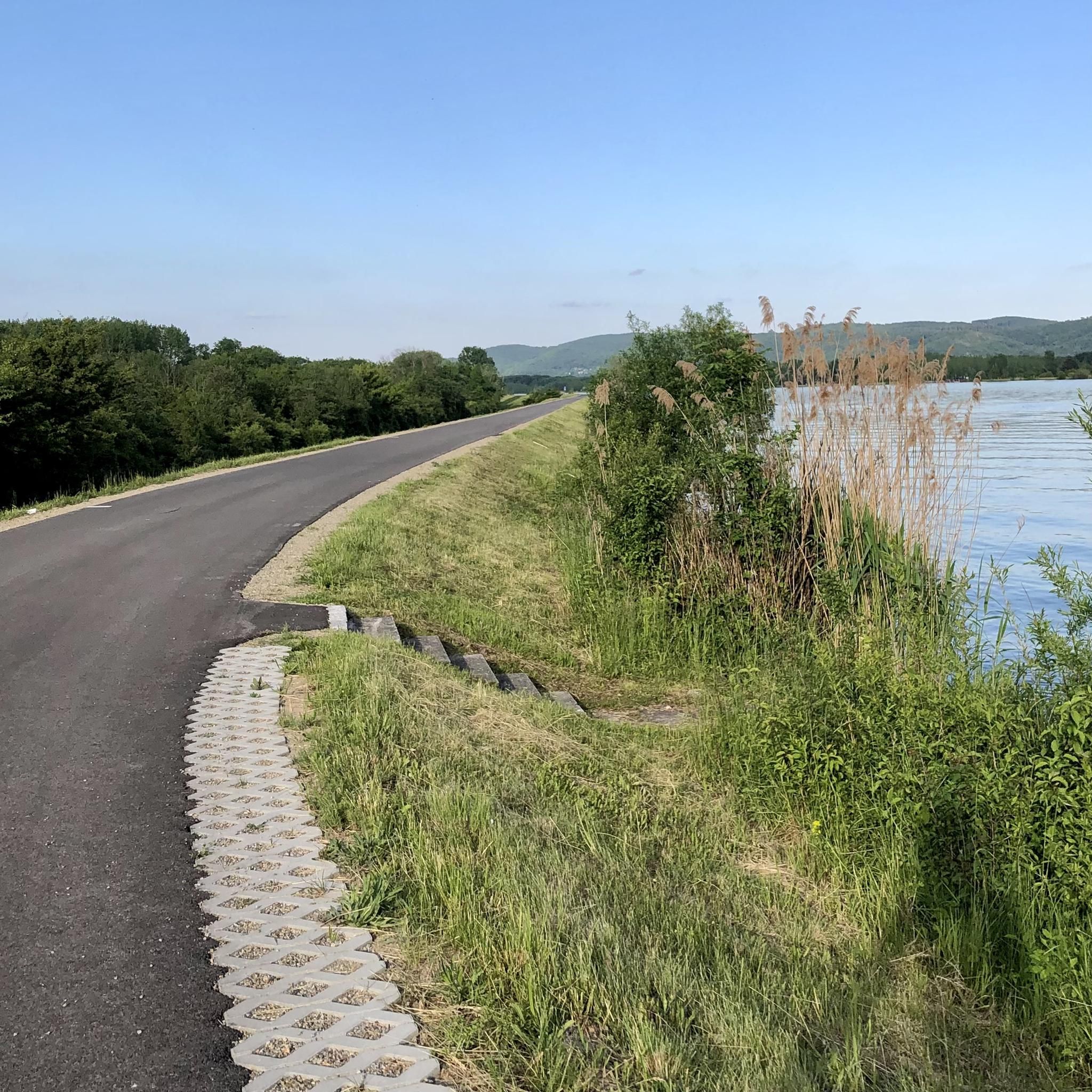
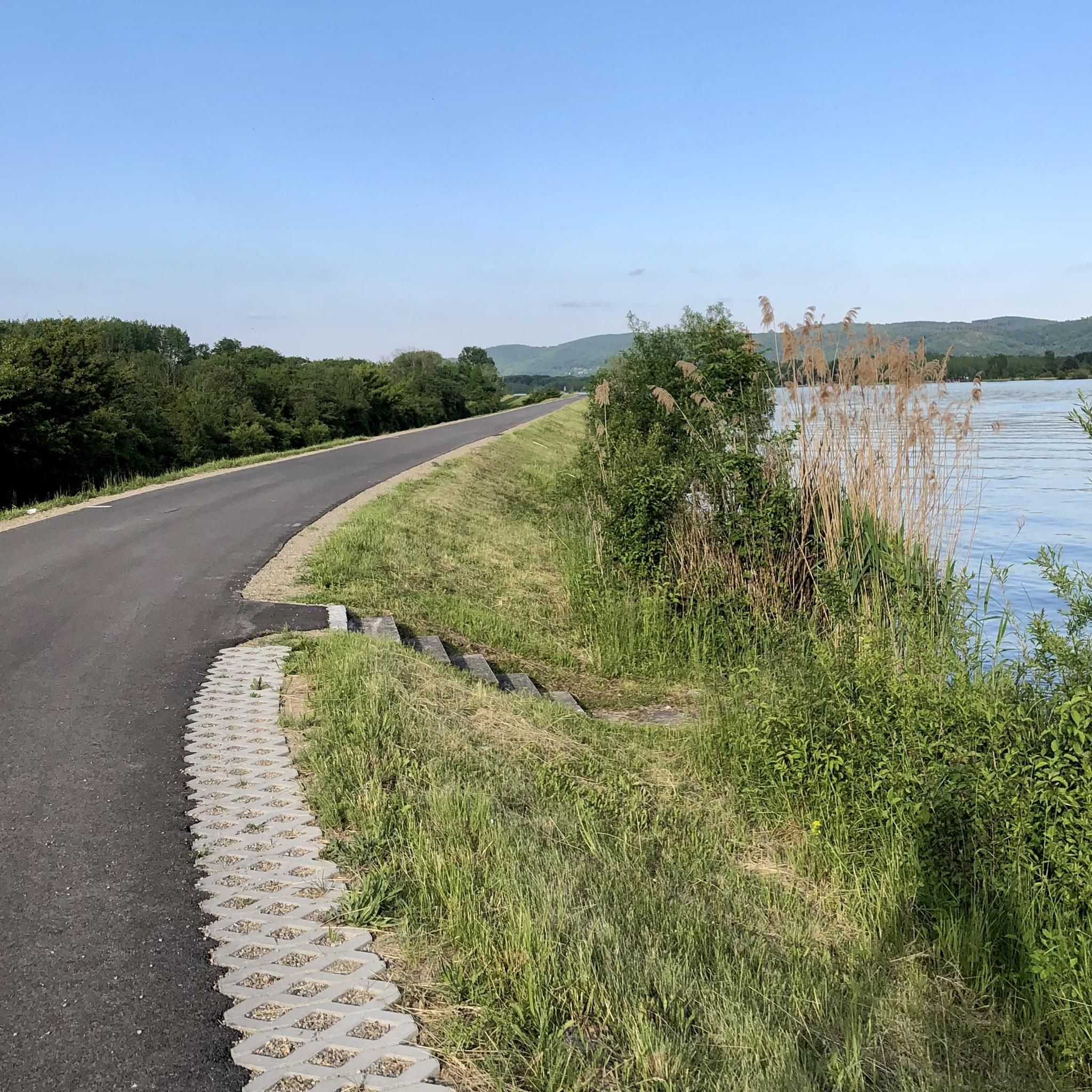
Hiking around Muckendorf-Wipfing offers access to diverse landscapes along the southern bank of the Danube River in Lower Austria. The region is characterized by its flat terrain, with routes featuring minimal elevation gain across expansive fields and protected floodplain biotopes. Hikers can explore old arms of the Danube and enjoy riverside paths, making it suitable for easy and moderate outdoor activities.
Best hiking trails around Muckendorf-Wipfing
- The most popular hiking route is Muckendorf Railway Station – Muckendorf Railway Station loop…
Last updated: October 4, 2026
5.0
(5)
25
hikers
10.4km
02:37
20m
20m
Moderate hike. Good fitness required. Easily-accessible paths. Suitable for all skill levels.
3.0
(1)
9
hikers
Moderate hike. Good fitness required. Easily-accessible paths. Suitable for all skill levels.

4.0
(1)
8
hikers
Easy hike. Great for any fitness level. Easily-accessible paths. Suitable for all skill levels.
7
hikers
Easy hike. Great for any fitness level. Easily-accessible paths. Suitable for all skill levels.
12
hikers
5.96km
01:33
40m
40m
Easy hike. Great for any fitness level. Easily-accessible paths. Suitable for all skill levels.
Get access to more routes and recommendations from other explorers.
Already have an account?
Our route recommendations are based on thousands of hikes, rides, and runs completed by other people on komoot.
Start today with a free account
Your next adventure awaits.

Tips from the Community

A stop for refreshments is an absolute must. Very friendly service. Always happy to come back!
4
0

A lovely rest area with a great view!
0
0

The view offers a stunning panorama of one of the most historic and scenic regions of Lower Austria. The Tullnerfeld—also known as the Tulln Basin—is a vast plain formed by the Danube River, stretching between the Wagram Valley in the north and the Vienna Woods in the south.
10
0

Unfortunately privately owned and only visible from the outside
1
0

To the side of the Great Tullnerfeld circular hiking trail 475, the parish church "Immaculate Conception of Mary" stands on historical ground. In its place was the command building (principia) of the Roman fort with the "flag sanctuary", the remains of which have been preserved under the church. In late Roman times, the flag sanctuary probably already served as a Christian place of worship. In 304 AD, St. Florian was martyred in Lauriacum (Lorch a.d. Enns). An old tradition of venerating St. Florian in Zeiselmauer assumes that this was the birthplace of this first Christian martyr and saint on Austrian soil. Source: www.zeiselmauer-wolfpassing.gv.at/Pfarrkirche
2
1

Here, right next to the Great Tullnerfeld circular hiking trail 475, you will find remains from Roman times with interesting information boards.
2
0

Very well developed and signposted cycle path
3
0
Remains from Roman times located on the garden tour (rose variant) have interesting display boards. Definitely worth a stop!
1
0
Frequently Asked Questions
How many hiking trails are available in Muckendorf-Wipfing?
Muckendorf-Wipfing offers a good selection of routes, with over 15 hiking trails available. The majority of these, 14 to be exact, are rated as easy, making the area very accessible for all fitness levels.
What kind of terrain can I expect on hikes around Muckendorf-Wipfing?
The terrain in Muckendorf-Wipfing is predominantly flat, characterized by expansive fields and paths along the Danube River. You'll find minimal elevation gain, making it ideal for relaxed walks. The region also features protected floodplain biotopes and old arms of the Danube, offering diverse natural scenery.
Are there any family-friendly hiking options in Muckendorf-Wipfing?
Yes, Muckendorf-Wipfing is very family-friendly. Many routes are easy and suitable for all ages. The area also boasts unique attractions like a "steps trail with an exercise trail, creative mile and sound station," which provides an interactive outdoor experience for families. Additionally, the "Planets Trail" starting in Königstetten is another engaging option.
Can I bring my dog on the hiking trails in Muckendorf-Wipfing?
While specific regulations for dogs on every trail are not detailed, the generally open and flat nature of the paths through fields and along the Danube makes many routes suitable for walks with dogs. Always ensure your dog is on a leash and you clean up after them, especially in protected natural areas.
Are there circular hiking routes available?
Yes, many of the popular routes in Muckendorf-Wipfing are circular. For example, the Muckendorf Railway Station – Muckendorf Railway Station loop is an easy 3.5-mile loop, and the Hiking loop from Muckendorf-Wipfing is another popular 3.6-mile circular trail.
What natural features or landmarks can I see while hiking in the area?
While hiking, you can enjoy stunning views of the Danube River and explore protected floodplain biotopes. Notable landmarks nearby include the Greifenstein Danube Oxbow and the Nibelung Monument. You might also catch a glimpse of the Greifenstein Power Plant and Greifenstein Castle in the distance.
How can I get to the hiking trails using public transport?
Muckendorf-Wipfing is well-connected by public transport, particularly by train. Several popular routes, such as the Muckendorf Railway Station – Muckendorf Railway Station loop and the Muckendorf Railway Station – Langenlebarn loop, start directly from the Muckendorf Railway Station, making access convenient.
Is there parking available for hikers?
Yes, parking is generally available in Muckendorf-Wipfing, especially near the railway station and other starting points for popular trails. It's advisable to check local signage for specific parking regulations and availability.
What is the best time of year to go hiking in Muckendorf-Wipfing?
The region is enjoyable for hiking throughout much of the year. Spring and autumn offer pleasant temperatures and beautiful scenery, especially along the Danube and through the fields. Summer is also suitable, though it can be warmer. Winter hikes are possible, but trails might be muddy or icy, so appropriate footwear is recommended.
Are there places to eat or stay overnight near the hiking trails?
Yes, Muckendorf-Wipfing and its surrounding areas offer local restaurants where you can enjoy a meal after your hike. There are also accommodation options available for those wishing to extend their stay and explore the region further.
What do other hikers enjoy most about Muckendorf-Wipfing?
The hiking routes in Muckendorf-Wipfing are highly rated by the komoot community, with an average score of 4.6 stars from over 1,900 reviews. Hikers frequently praise the easy accessibility, the beautiful Danube views, and the peaceful, flat paths that are suitable for all fitness levels.
Are there any longer or more challenging routes for experienced hikers?
While most routes are easy to moderate, for those seeking a longer challenge, the "Donau-Niederösterreich. Tulln - Korneuburg" is a moderate route. Additionally, the "Large Tullnerfeld Circular Hiking Trail" is a substantial 200 km path that can be undertaken in day stages, offering a more extensive hiking experience.
Can I combine hiking with other activities in Muckendorf-Wipfing?
Absolutely! Muckendorf-Wipfing is ideal for combining hiking with other outdoor activities. The Danube Cycle Path runs through the area, offering excellent opportunities for cycling. The municipality also provides facilities for water sports like sailing and boating, as well as "fun courts" for beach volleyball, roller skating, and tennis.
Most popular routes around Muckendorf-Wipfing
Most popular attractions around Muckendorf-Wipfing

Get inspired with the komoot mobile app


Explore more
Browse the best Hikes in other regions.
