The best road cycling routes around Münk
4.6
(198)
4,015
riders
131
rides
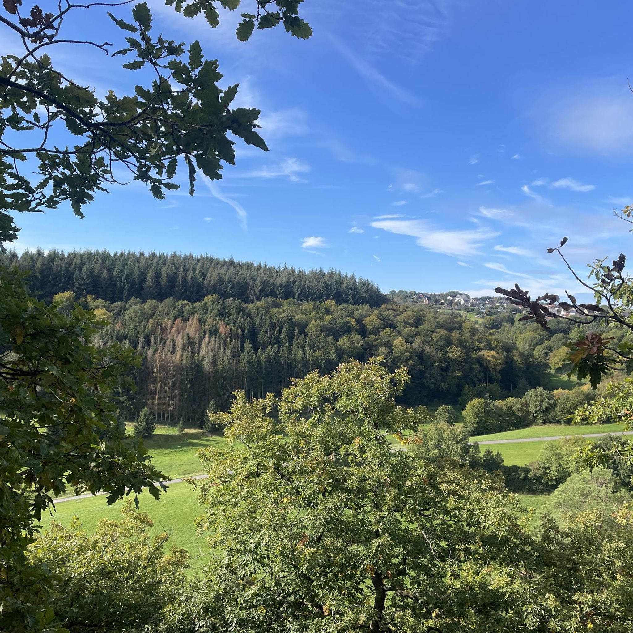
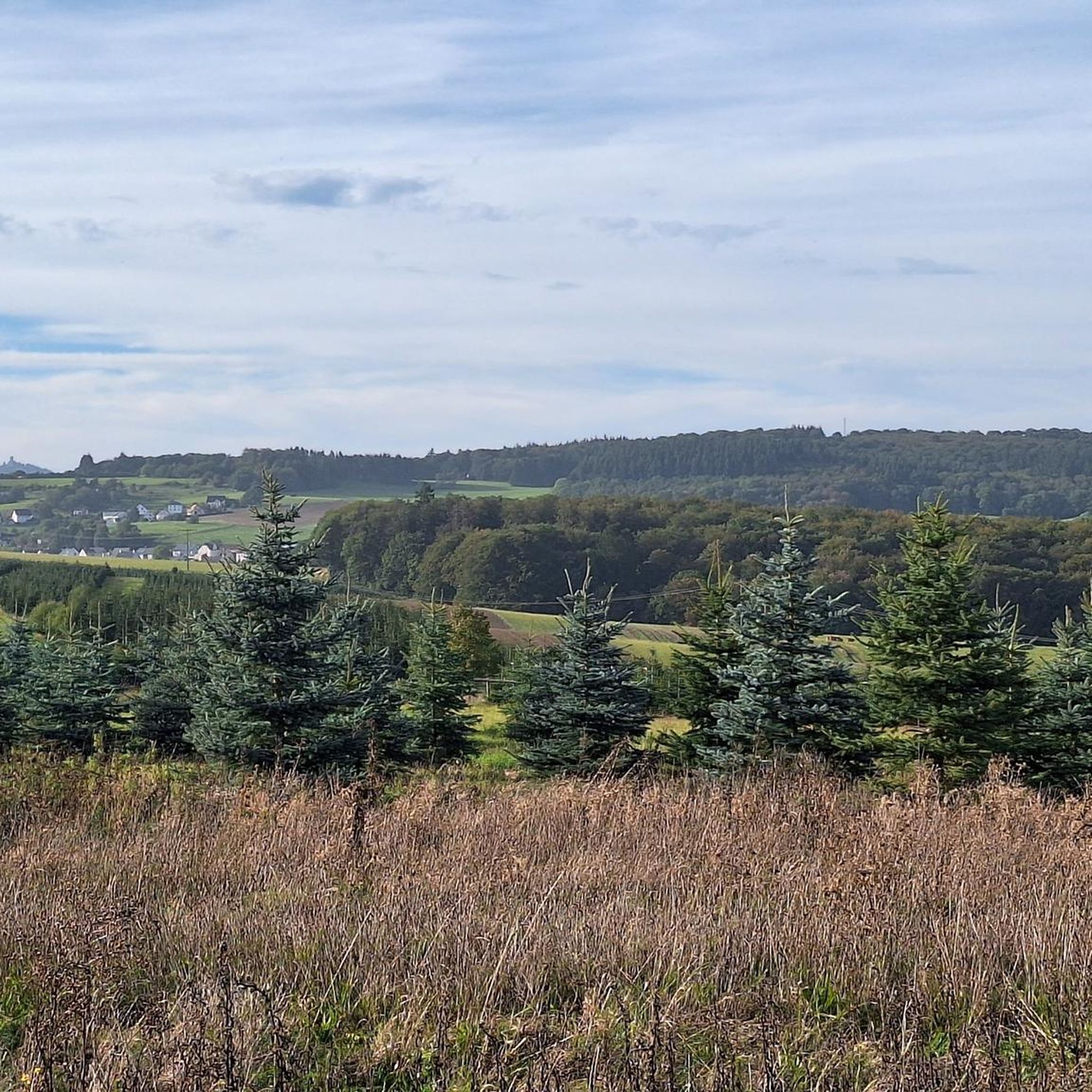
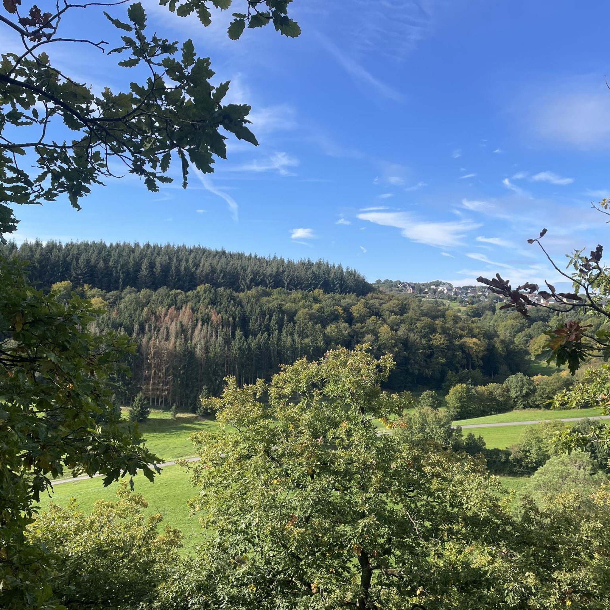
Road cycling routes around Münk traverse a landscape characterized by rolling hills, river valleys, and volcanic features such as maars. The region features a mix of open countryside and forested sections, with routes often connecting historic sites and small villages. Elevation changes are common, providing varied terrain for road cyclists.
Best road cycling routes around Münk
- The most popular road cycling route is Bürresheim Castle – Volkesfeld Healing Spring loop from Oberelz, a 37.2 miles (59.9 km) trail that…
Last updated: October 5, 2026
21
riders
59.9km
03:03
1,000m
1,000m
Hard road ride. Very good fitness required. Some segments of this route may be unpaved and difficult to ride.
5.0
(1)
13
riders
Moderate road ride. Good fitness required. Mostly well-paved surfaces and easy to ride.

13
riders
74.7km
03:34
1,040m
1,040m
Hard road ride. Very good fitness required. Mostly well-paved surfaces and easy to ride.
10
riders
Moderate road ride. Good fitness required. Mostly well-paved surfaces and easy to ride.
10
riders
29.9km
01:23
380m
380m
Moderate road ride. Good fitness required. Mostly well-paved surfaces and easy to ride.
Get access to more routes and recommendations from other explorers.
Already have an account?
Our route recommendations are based on thousands of hikes, rides, and runs completed by other people on komoot.
Start today with a free account
Your next adventure awaits.
Tips from the Community

Beautiful cycle path along the Ahr
0
0

The picturesque row of historic half-timbered houses on the market square of Adenau is considered the town's landmark
3
0

Cool, but after a while you also get tired of seeing the cars and the racetrack :o
0
0

Lowest point of the route ... from here it's a long climb up to Hohe Acht even with an MTB
0
0
A central photo motif of the half-timbered village of Monreal
2
0

Die Löwenburg The Löwenburg above the timber-framed village of Monreal is a so-called spur castle and was first documented in 1229. Count Hermann III of Virneburg is considered the builder of the Löwenburg. According to tradition, he is said to have built the complex on his brother Philipp's land after a partition agreement. The resulting disputes between the brothers were later settled, and Philipp ceded his rights to the region to his brother. Today, large parts of the Löwenburg are still preserved, giving a good impression of how stately the former appearance of the castle must have been. Primarily, the remains of the 25-meter-high keep with its three-meter-thick walls are visible from afar. The high entrance to the imposing keep faces the valley and is therefore strategically advantageous, towards the side facing away from the enemy. The castle tower is unfortunately currently closed and inaccessible. Die Philippsburg The Philippsburg in Monreal was also built in the 13th century. The nickname "Rech" (Roe Deer) in the vernacular was given to the Philippsburg due to its smaller size compared to the Löwenburg. There are two different theories regarding its origin: on the one hand, the Philippsburg is said to have been built merely as an advanced or outer work of the Löwenburg, or on the other hand, as Philipp's "answer" to the unauthorized construction of the Löwenburg by his brother. From the Philippsburg, substantial remains of walls have also been preserved - with the northwest tower and the restored south wall - which give a good impression of the original complex. Source: https://www.eifel.info/pois/loewen-und-philippsburg
2
0
Monreal with its historic town center is a gem of the Eifel. The picturesque location on the Elzbach, with the many half-timbered houses and the higher castle ruins, is beautiful to behold.
4
0
A total of three small bridges cross the Elz, allowing you to switch from one bank to the other at various points. The most beautiful is probably the bridge in the middle, the Johannesbrücke. It is equipped with both a lion monument and the statue of Saint John of Nepomuk. John of Nepomuk or John of Pomuk was a Bohemian priest and is considered the patron saint of bridges. The lion monument is certainly one of Monreal's most impressive sights. It dates from the 15th century and consists of four lions carved in basalt. Source: https://travel-see-xperience.com/2022/02/20/monreal/
3
0
Frequently Asked Questions
How many road cycling routes are available around Münk?
There are over 130 road cycling routes around Münk, offering a wide variety of options for different skill levels and preferences. You can find routes ranging from easy to difficult, traversing the region's diverse landscape.
Are there easy road cycling routes suitable for beginners in Münk?
Yes, Münk offers several easy road cycling routes. There are 8 routes specifically categorized as easy, perfect for those new to road cycling or looking for a more relaxed ride. These routes typically feature less elevation gain and shorter distances.
What kind of terrain can I expect on road cycling routes in Münk?
Road cycling routes around Münk feature a varied terrain characterized by rolling hills, picturesque river valleys, and unique volcanic features like maars. You'll encounter both open countryside and forested sections, with elevation changes providing a dynamic riding experience.
Are there challenging road cycling routes for experienced riders?
Absolutely. For experienced road cyclists seeking a challenge, Münk has 44 routes categorized as difficult. These routes often involve significant elevation changes and longer distances, such as the Bürresheim Castle – Volkesfeld Healing Spring loop from Oberelz, which covers nearly 60 km with over 1000 meters of elevation gain.
What are some notable landmarks or attractions I can see along the road cycling routes?
Many routes pass by interesting historical sites and natural features. You might encounter the Monreal Historic Old Town, the Löwenburg Ruins in Monreal, or the Kaiser Wilhelm Tower on the Hohe Acht. The region's volcanic maars also offer unique scenic points.
Are there any circular road cycling routes in Münk?
Yes, many of the road cycling routes around Münk are designed as loops, allowing you to start and end at the same point. For example, the Dümpelfeld Railway Viaduct – House Stein am Markt loop from Boos is a challenging circular route offering diverse scenery.
What do other road cyclists say about the routes in Münk?
The road cycling routes in Münk are highly regarded by the komoot community, holding an average rating of 4.6 stars from over 140 reviews. Cyclists often praise the varied terrain, the scenic views, and the opportunity to explore historic sites and natural wonders.
Is there public transport access to the road cycling trails in Münk?
While Münk itself is a smaller community, public transport options like regional buses connect to larger towns in the Eifel region. It's advisable to check local bus schedules for connections to specific starting points of routes, as direct access to every trail might vary.
Are there routes that pass by places to stop for refreshments, like coffee shops?
Many routes in the Münk area connect small villages and towns where you can find local cafes, bakeries, or restaurants for a break and refreshments. Planning your route to include these stops is recommended, especially on longer rides.
What is the best time of year for road cycling in Münk?
The spring, summer, and early autumn months (roughly April to October) generally offer the best conditions for road cycling in Münk, with milder temperatures and less chance of adverse weather. The vibrant greenery of spring and the colorful foliage of autumn provide particularly scenic rides.
Are there any routes that feature volcanic maars or other unique geological formations?
Yes, the Eifel region, where Münk is located, is known for its volcanic landscape, including maars (volcanic lakes). Routes like the Ulmener Maar – Upper Castle of Ulmen loop from Boos specifically highlight these unique geological features, offering a distinct riding experience.
Where can I find parking for road cycling routes in Münk?
Parking is typically available in the villages and towns that serve as starting points for many routes. Look for designated public parking areas in places like Oberelz, Boos, or Nachtsheim, which are common access points for the region's road cycling trails.
Most popular attractions around Münk

Get inspired with the komoot mobile app


Explore more
Browse the best Road cycling routes in other regions.
