The best walks and hikes around Nastätten
4.5
(616)
1,947
hikers
55
hikes
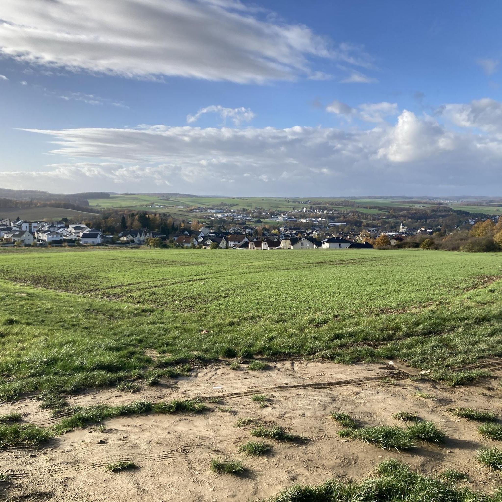
Hiking around Nastätten offers access to a network of trails through the Taunus region, characterized by gentle hills and wooded paths. The landscape features a mix of natural areas and cultural points of interest. Elevation changes are generally mild, making many routes accessible. The region provides diverse terrain for outdoor activities.
Best hiking trails around Nastätten
- The most popular hiking route is Blue Bench in the Taunus – Path of the Trees loop from Nastätten, a 3.1 miles (4.9…
Last updated: October 4, 2026
4.8
(16)
94
hikers
4.93km
01:21
70m
70m
Easy hike. Great for any fitness level. Easily-accessible paths. Suitable for all skill levels.
4.9
(12)
23
hikers
10.5km
02:53
170m
160m
Moderate hike. Good fitness required. Easily-accessible paths. Suitable for all skill levels.

19
hikers
Easy hike. Great for any fitness level. Easily-accessible paths. Suitable for all skill levels.
4.8
(12)
79
hikers
4.06km
01:06
50m
50m
Easy hike. Great for any fitness level. Easily-accessible paths. Suitable for all skill levels.
5.0
(6)
14
hikers
8.12km
02:13
130m
130m
Moderate hike. Good fitness required. Easily-accessible paths. Suitable for all skill levels.
Get access to more routes and recommendations from other explorers.
Already have an account?
Our route recommendations are based on thousands of hikes, rides, and runs completed by other people on komoot.
Start today with a free account
Your next adventure awaits.
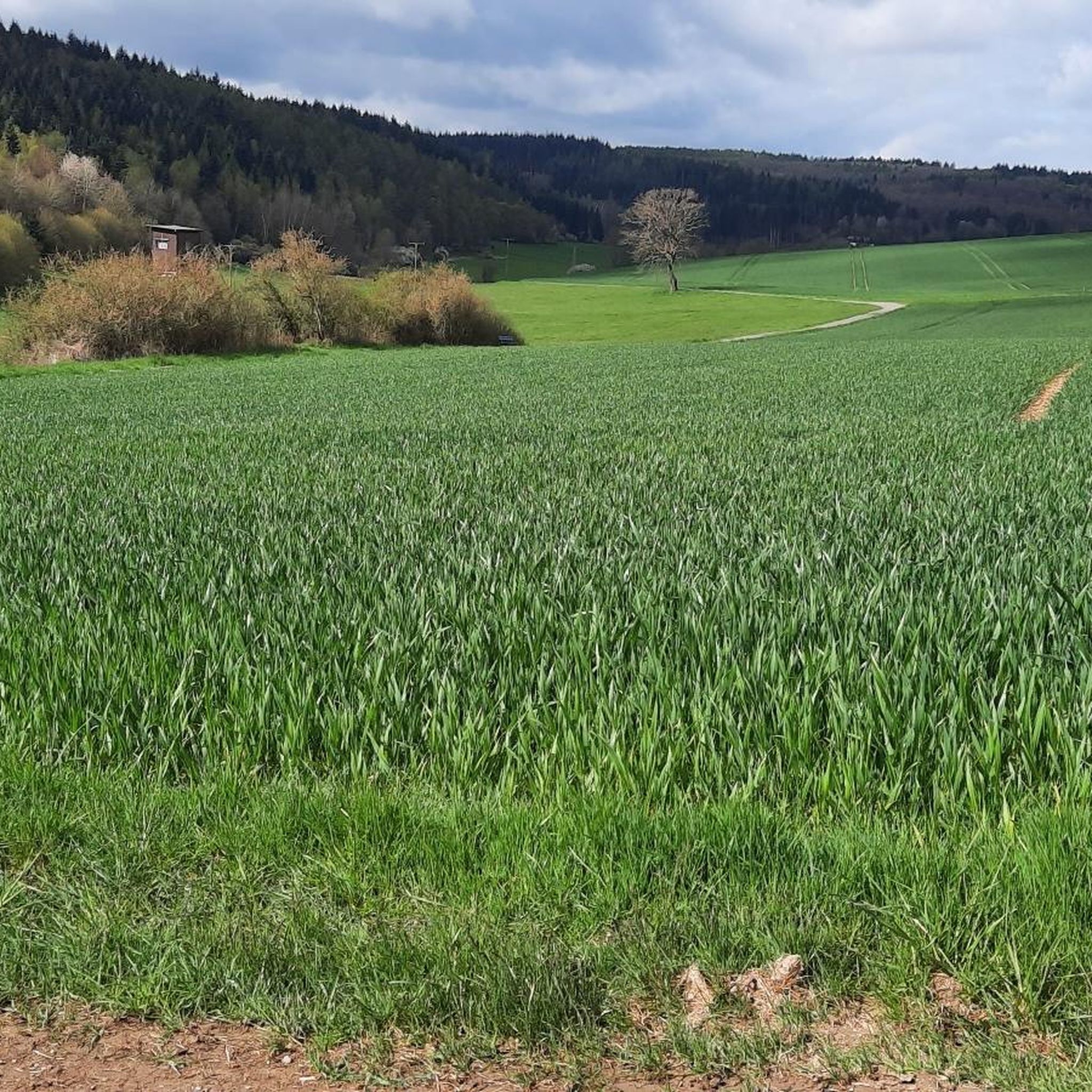
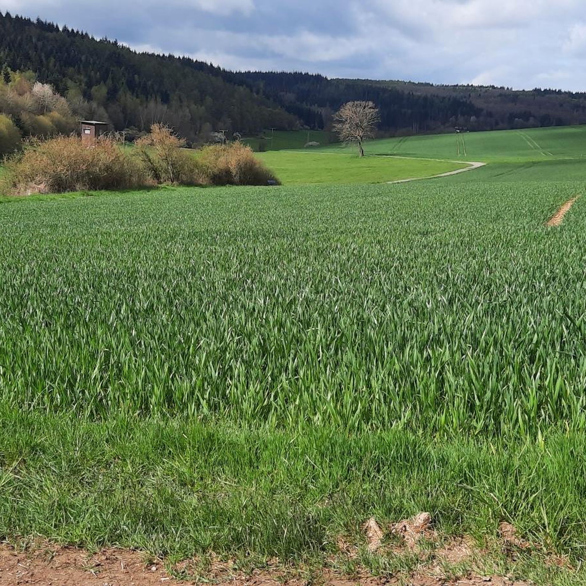
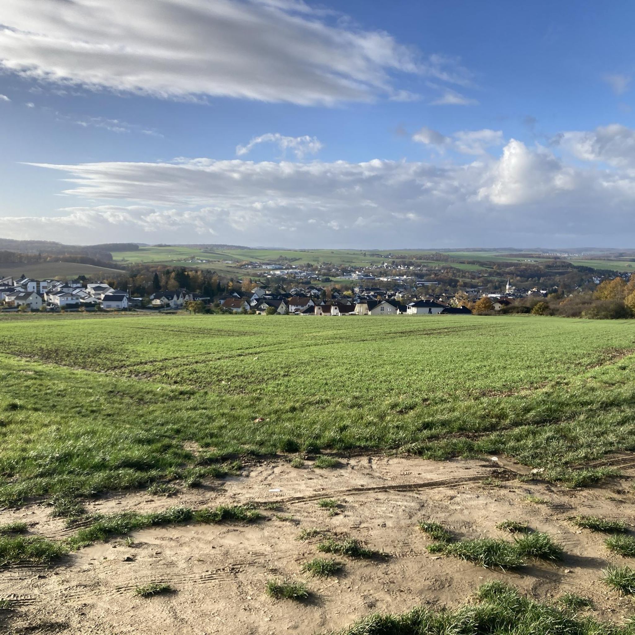
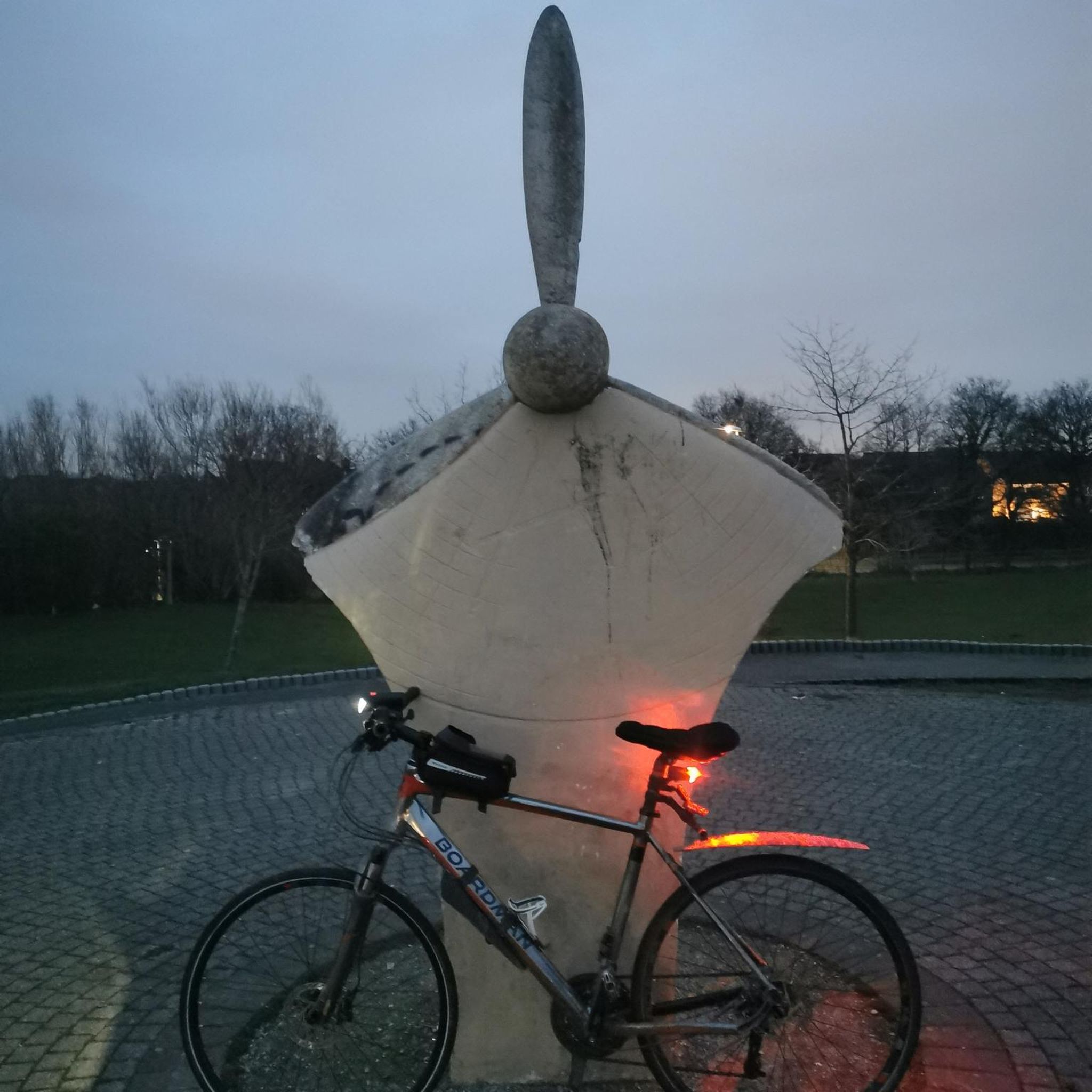
Tips from the Community

The regional museum "Leben und Arbeiten" is worth a visit, entrance fee 5 €.
0
0
Great and lively museum, often with worthwhile special exhibitions
0
0

Here, Hessenstraße crosses the path of the trees. A truly scenic path with planted and signposted trees.
1
0

Not far from the Hessenweg, a great alternative when the weather is too hot.
0
0

Path of the trees information sign
0
1

The way of the trees. Your botanical hiking trail in the blue country.
0
0

Frequently Asked Questions
What are the typical lengths and difficulties of hiking trails around Nastätten?
Hiking trails around Nastätten generally range from easy to moderate. Many routes are between 4 to 7 kilometers (2.5 to 4.5 miles) in length, making them suitable for various fitness levels. For example, the Blue Bench in the Taunus – Path of the Trees loop from Nastätten is an easy 4.9 km (3.1 miles) trail.
Are there easy hiking trails suitable for beginners or families in Nastätten?
Yes, Nastätten is well-suited for beginners and families, with 40 out of 58 available routes classified as easy. These trails often feature gentle hills and wooded paths. A good option is the Path of the Trees – Blue Bench in the Taunus loop from Nastätten, an easy 4.1 km (2.5 miles) path that explores scenic forest.
What natural attractions can I see while hiking around Nastätten?
The region offers several natural highlights. You can explore unique rock formations such as the Dinosaur Rock or the Wild Women’s Cave rock formation. The area also features interesting caves like the "Wild-Weibchens-Ley" cave and the Slate Caves in Sauerborntal.
Are there any cultural landmarks or points of interest along the trails?
Yes, some routes incorporate cultural sites. The Blaues Ländchen Museum – Regional Museum Nastätten loop from Nastätten is a 6 km (3.7 miles) trail that leads past local landscapes and cultural points. You might also encounter historical structures like the Old Town Hall Buch on certain routes.
What is the best time of year to go hiking in Nastätten?
The Taunus region around Nastätten is enjoyable for hiking throughout much of the year. Spring brings blooming flora, while autumn offers vibrant foliage. Summer is pleasant for shaded forest walks. Even in winter, the gentle terrain can be suitable for hiking, though conditions may vary.
Are dogs allowed on hiking trails in Nastätten?
Generally, dogs are welcome on hiking trails in the Nastätten area, especially on the wooded paths. It's always advisable to keep your dog on a leash, particularly in nature reserves or areas with wildlife, and to respect local regulations and other hikers.
Are there circular hiking routes available in Nastätten?
Many of the hiking routes around Nastätten are designed as circular loops, offering convenient starting and ending points. Examples include the Blue Bench in the Taunus – Path of the Trees loop and the Sauerbrunnen Nastätten loop from Niedermeilingen.
What do other hikers enjoy the most about hiking in Nastätten?
The hiking experiences in Nastätten are highly rated by the komoot community, with an average score of 4.6 stars from over 500 reviews. Hikers often praise the region's gentle hills, well-maintained wooded paths, and the mix of natural beauty with cultural points of interest.
Can I reach hiking trails in Nastätten using public transport?
Nastätten has local bus connections that can provide access to the town center and surrounding areas. While some trailheads might be accessible by public transport, it's recommended to check local bus schedules and routes in advance to plan your journey effectively.
Are there hiking opportunities in Nastätten during winter?
Yes, hiking is possible in Nastätten during winter. The region's gentle hills mean that many trails remain accessible, though conditions can vary with snow and ice. It's important to wear appropriate winter gear and check local weather forecasts before heading out.
Are there any less-known or unique hiking experiences in Nastätten?
Beyond the main trails, the Taunus region offers opportunities to discover quieter paths and local gems. Exploring routes that lead to specific natural monuments or smaller villages can provide a unique perspective on the area's charm and history.
Can I spot wildlife while hiking around Nastätten?
The wooded areas and natural landscapes around Nastätten provide habitats for various wildlife. Hikers might spot common forest animals such as deer, foxes, and a variety of bird species, especially during quieter times of day or on less frequented trails.
Most popular routes around Nastätten
Most popular attractions around Nastätten

Get inspired with the komoot mobile app


Explore more
Browse the best Hikes in other regions.
