The best walks and hikes around Neuberg an der Mürz
4.7
(1082)
7,177
hikers
137
hikes
Hiking around Neuberg an der Mürz offers a diverse landscape characterized by a forested and water-rich cultural environment at the upper Mürz river. The region is bordered by the mountain peaks of Rax, Schneealm, and Hohe Veitsch, providing extensive views of the Mürztal valley. This area features a network of trails ranging from gentle riverside paths to challenging mountain ascents.
Best hiking trails in Neuberg an der Mürz
- The most popular hiking route is Windberg Summit (Schneealpe) – Michlbauer Hut…
Last updated: October 5, 2026
4.8
(115)
591
hikers
Moderate hike. Good fitness required. Mostly accessible paths. Sure-footedness required.
4.7
(39)
317
hikers
Easy hike. Great for any fitness level. Easily-accessible paths. Suitable for all skill levels.

4.8
(46)
303
hikers
15.2km
06:39
1,040m
1,040m
Hard hike. Very good fitness required. Mostly accessible paths. Sure-footedness required.
4.8
(18)
122
hikers
Moderate hike. Good fitness required. Mostly accessible paths. Sure-footedness required.
4.9
(28)
192
hikers
14.0km
05:15
880m
880m
Hard hike. Very good fitness required. Easily-accessible paths. Suitable for all skill levels.
Get access to more routes and recommendations from other explorers.
Already have an account?
Our route recommendations are based on thousands of hikes, rides, and runs completed by other people on komoot.
Start today with a free account
Your next adventure awaits.
Popular around Neuberg an der Mürz

North Alpine Trail 01 – Hike across Austria in 49 days

Viennese Alpenbogen – Lower Austria's most beautiful peaks
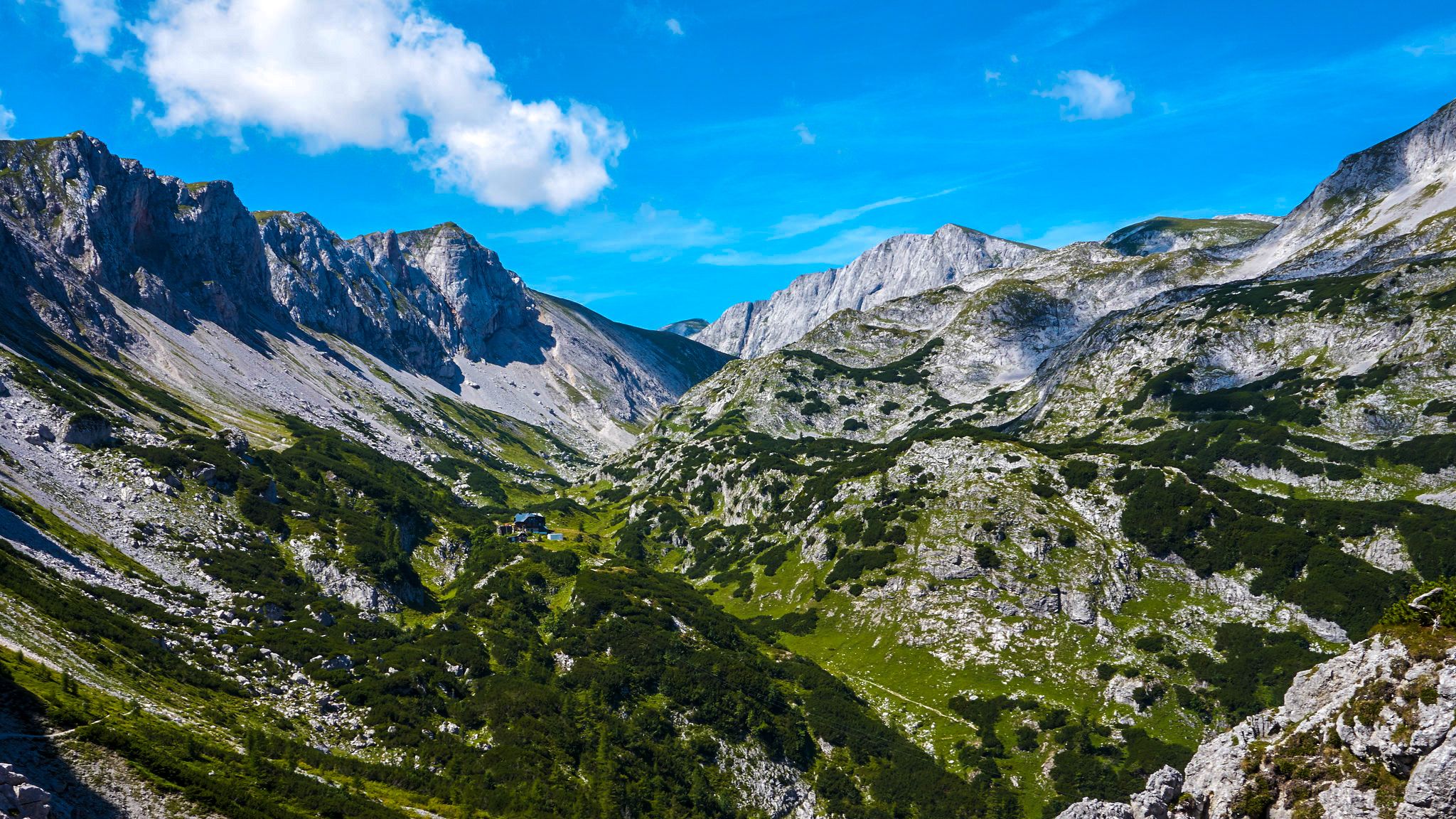
The BergZeitReise – a beautiful long-distance hiking trail across Styria
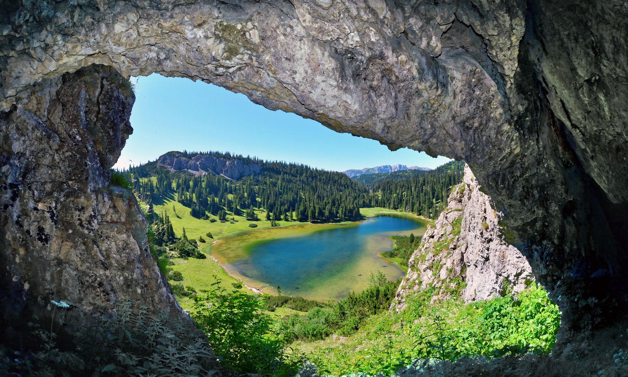
BergZeitReise – from glacier to wine in high Styria
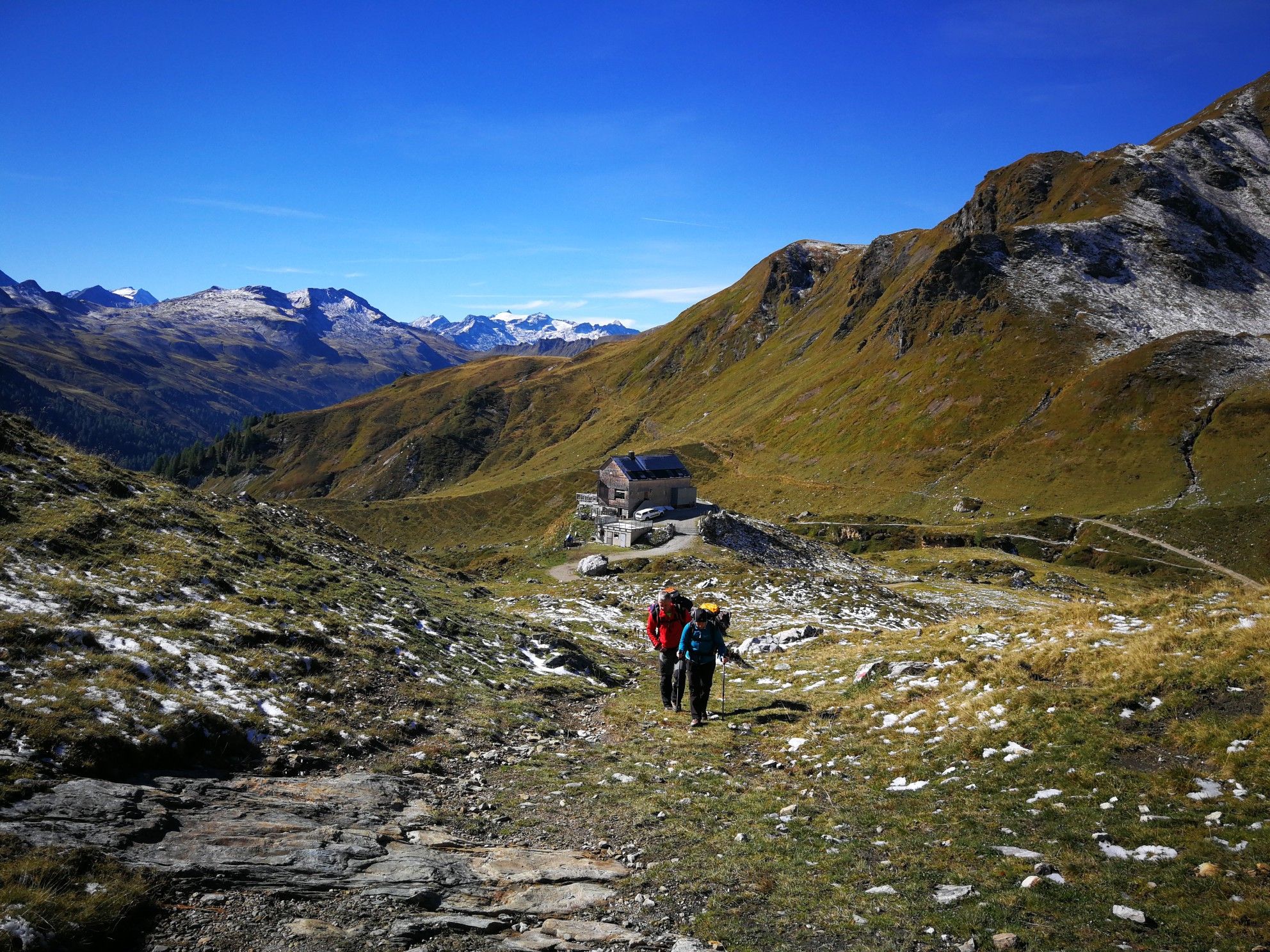
Lower Austria to Carinthia — our favourite huts in Austria
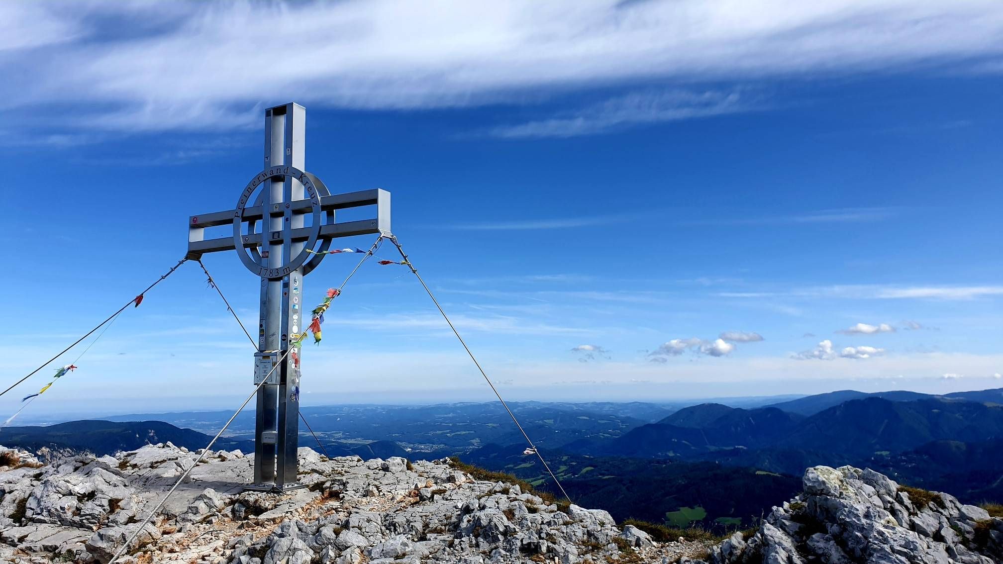
Alpine hiking on Vienna’s doorstep – Rax-Schneeberg Group Mountains

Discover Styria in Austria on foot – ‘From Glacier to Wine’ North Route
Out of town, up the mountain – Vienna's backyard
Hut fun in Austria’s Schneebergland
Family adventures in Vienna's local mountains
Other adventures around Neuberg an der Mürz


Tips from the Community

The view of the Wildkamm is a beautiful viewpoint on a hike through the Veitsch region. Particularly striking is the elongated, partly rocky ridge, which clearly stands out from the wooded slopes of the surrounding area. Depending on the location, a wide view opens up over the mountain landscape of the Mürzer Oberland and towards the surrounding peaks. A good place for a short break – and a beautiful photo motif along the tour.
3
0
The Hohe Veitsch (1,981 m) is the highest point of the Veitsch massif and a magnificent summit destination in Hochsteiermark. Around the summit cross, the landscape opens up and, with good visibility, the view extends far beyond the surrounding mountains – including towards Hochschwab, Schneealpe, and Rax. Particularly beautiful is the contrast between the wooded ascents and the vast, almost high-alpine landscape on the plateau. A summit where the altitude meters are definitely worth it and where you'll gladly take a longer break.
2
0
The Hohe Veitsch (1,981 m) is the highest point of the Veitsch massif and a great summit destination in the Hochsteiermark region. Around the summit cross, the landscape opens up and, with good visibility, the view extends far over the surrounding mountain world – including towards Hochschwab, Schneealpe, and Rax. The contrast between the wooded ascents and the vast, almost high-alpine landscape on the plateau is particularly beautiful. A summit where the altitude meters are definitely worth it and where you like to take a longer break.
3
0

From the Lurgbauerhütte, you can easily climb to the summit of the Schauerwand.
0
0


The summit cross of the Veitsch is easy to climb, technically completely unproblematic. A fantastic all-round view of the neighboring mountain world awaits you. Caution is advised in fog, orientation is very difficult!
1
0

Guesthouse open in the background
3
0
Frequently Asked Questions
How many hiking trails are available around Neuberg an der Mürz?
Neuberg an der Mürz offers a wide variety of hiking opportunities, with over 130 trails to explore. These range from easy walks to challenging mountain ascents, catering to all fitness levels.
What is the best time of year to go hiking in Neuberg an der Mürz?
The region is particularly beautiful during spring and autumn, when the forests and meadows are vibrant with color. While hiking is possible year-round, these seasons offer ideal conditions for enjoying the natural landscape.
What kind of terrain can I expect on hikes in Neuberg an der Mürz?
You can expect a diverse landscape characterized by a forested and water-rich environment. Trails often feature impressive views of the Mürztal valley and are bordered by prominent mountain peaks like Rax, Schneealm, and Hohe Veitsch. Some routes include natural paths and even some climbing sections.
Are there easy hiking options suitable for beginners or casual walkers?
Yes, Neuberg an der Mürz has several easy hiking options. For instance, the Waxriegelhaus (1,361 m) – Preiner Gscheid Pass (1070 m) loop from Preiner Gscheid is an easy 6 km path through alpine meadows. There are 13 easy routes in total, perfect for a relaxed outing.
What are some challenging hikes for experienced trekkers?
For experienced hikers, the region offers demanding routes with significant elevation gains. A challenging option is the Hohe Veitsch summit cross – Graf-Meran-Haus loop from Niederalpl, which covers nearly 14 km with substantial ascents. There are 65 difficult routes available for those seeking a strenuous adventure.
Are there any family-friendly hiking trails in the area?
Yes, the circular hiking trail around the Leopoldsteinersee is highly recommended for families, offering a playful way for children to explore nature. Many easy routes are also suitable for families with younger children.
Can I find circular hiking routes around Neuberg an der Mürz?
Yes, many trails in the area are designed as circular routes, allowing you to start and end at the same point. Examples include the Windberg Summit (Schneealpe) – Michlbauer Hut loop from Parkplatz Kohlebnerstand and the Windberg Summit (Schneealpe) – Schneealpenhaus loop from Parkplatz Kohlebnerstand.
Are there any waterfalls to see on hikes in Neuberg an der Mürz?
Yes, the nearby waterfalls are a popular attraction. One specific example is the 'Zum Toten Weib' waterfall located in Frein, offering a refreshing natural highlight during your hike.
What interesting landmarks or attractions can I see near the hiking trails?
Beyond the natural beauty, you can visit the historic Neuberg Abbey (Stift Neuberg) with its impressive Münster. For panoramic views, consider a short uphill walk to the Sieberwarte observation tower or the Kalvarienberg, which also features a large cross and a memorial plaque. While not directly on hiking trails, you can also find attractions like Hubertussee - north shore or Bikepark Semmering nearby.
What do other hikers enjoy the most about hiking in Neuberg an der Mürz?
The area is highly rated by the komoot community, with an average score of 4.7 stars from over 900 reviews. Reviewers often praise the diverse terrain, from forested valleys to prominent mountain peaks, and the extensive network of routes that cater to various ability levels.
Are there options for public transport to reach hiking trailheads?
The region has some public transport options, but accessibility to specific trailheads can vary. It's advisable to check local bus schedules or regional transport services for the most up-to-date information on reaching your desired starting point.
Are there any themed trails or special walking experiences?
Yes, Neuberg an der Mürz offers unique themed trails such as the 'Literaturpfad' (Literature Path) and the 'Schauberger-Triftanlage' circular trail, providing different cultural and historical experiences alongside your walk.
What are the prominent mountain peaks visible or accessible from Neuberg an der Mürz?
Neuberg an der Mürz is bordered by the impressive mountain peaks of Rax, Schneealm, and Hohe Veitsch. The Schneealpe massif, with its highest point Windberg Summit (1,903 meters), offers extensive panoramas that can stretch to Hohe Veitsch, Hochschwab, Göller, Schneeberg, and Rax on clear days.
Most popular routes around Neuberg an der Mürz
Most popular attractions around Neuberg an der Mürz

Get inspired with the komoot mobile app


Explore more
Browse the best Hikes in other regions.
