The best walks and hikes around Mayschoß
4.6
(1752)
6,960
hikers
42
hikes
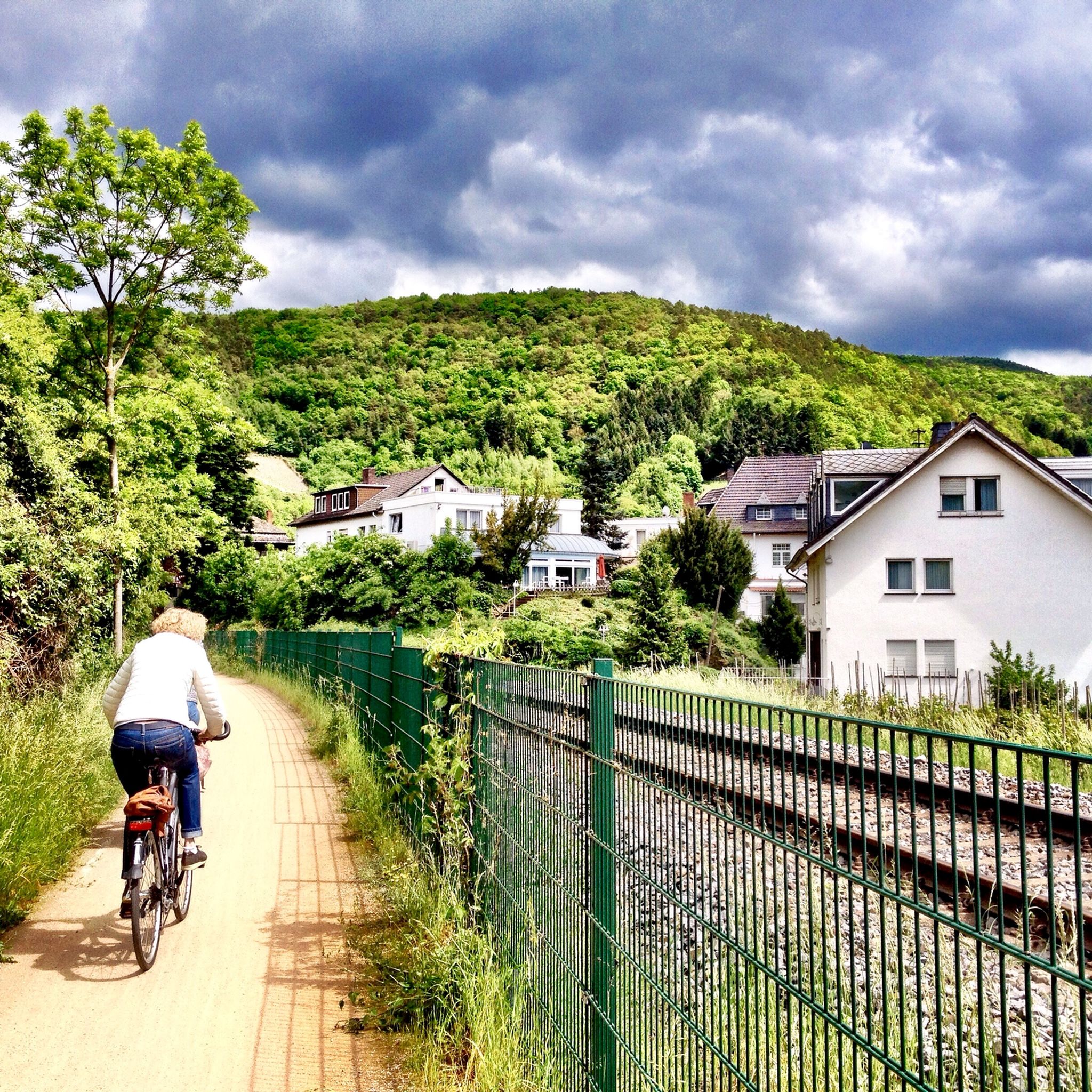
Hiking around Mayschoß offers diverse terrain within the picturesque Ahr Valley, characterized by the winding Ahr River and extensive terraced vineyards. The landscape features notable rock formations such as Teufelsley and Engelslay, providing a partially alpine feel with rocky passages and steep ascents. Mixed forests also cover the hillsides, contributing to varied scenery for outdoor enthusiasts.
Best hiking trails around Mayschoß
- The most popular hiking route is Mayschoß Vineyards – Rock Path Above Mayschoß loop from Mayschoß, a 5.1…
Last updated: September 30, 2026
4.8
(98)
365
hikers
9.19km
02:54
350m
350m
Hard hike. Good fitness required. Sure-footedness, sturdy shoes and alpine experience required.
4.7
(275)
902
hikers
8.34km
02:34
270m
270m
Hard hike. Good fitness required. Sure-footedness, sturdy shoes and alpine experience required.

4.8
(48)
153
hikers
8.30km
02:27
240m
240m
Hard hike. Good fitness required. Sure-footedness, sturdy shoes and alpine experience required.
4.6
(5)
52
hikers
4.35km
01:13
90m
90m
Easy hike. Great for any fitness level. Easily-accessible paths. Suitable for all skill levels.
4.9
(24)
107
hikers
21.1km
06:47
860m
860m
Hard hike. Very good fitness required. Mostly accessible paths. Sure-footedness required.
Get access to more routes and recommendations from other explorers.
Already have an account?
Our route recommendations are based on thousands of hikes, rides, and runs completed by other people on komoot.
Start today with a free account
Your next adventure awaits.

Tips from the Community

1
0

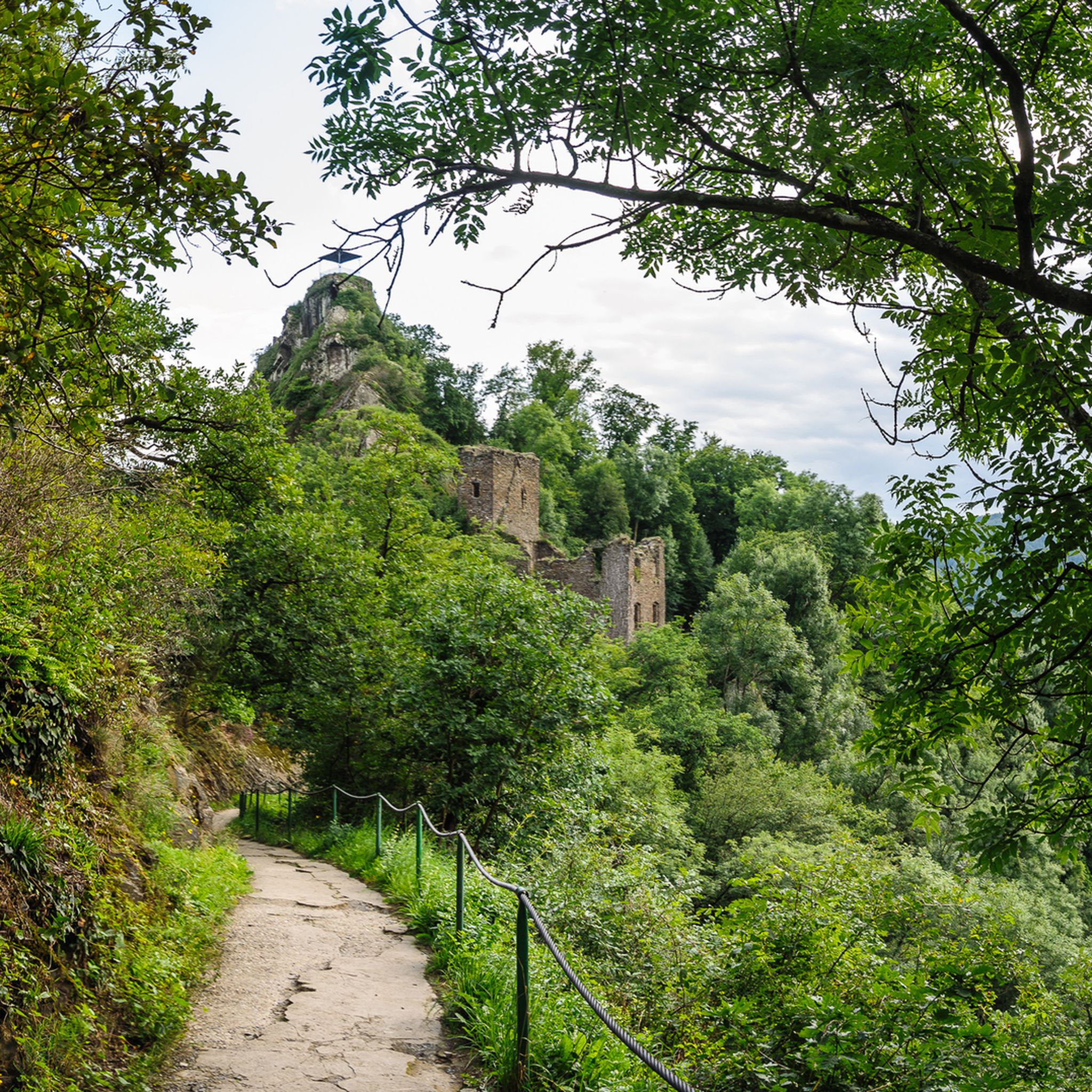
Singletrack past the Teufelsley summit and up to the Schrock summit. This trail is a challenging mountain hiking trail with difficult ascents to the Schrock summit with the mountain hut. From the summit, you have a beautiful view over the Ahrtal valley, the Rhine plain, and the Siebengebirge.
2
1
From the Schrock viewpoint, with its shelter hut, you have a wonderful view into the Ahr valley with the village of Mayschoß and in the distance over the Rhine valley to the Siebengebirge.
2
0
Narrow single trail past the Teufelsley summit and up to the Schrock summit. This trail is a challenging mountain hiking path with difficult ascents to the Schrock summit with the mountain hut. From the Schrock summit, you have a beautiful view over the Ahrtal valley, over the Rhine plain to the Siebengebirge mountains.
2
0
The ridge path to the Teufelsley requires absolute sure-footedness and a head for heights. It's not for nothing that the hiking trail is marked with T4 and T5. There are no safety devices whatsoever and certain passages, especially those leading up to the summit, have to be climbed. Once you reach the summit of the Teufelsley, a wonderful 360° view awaits you!
3
0
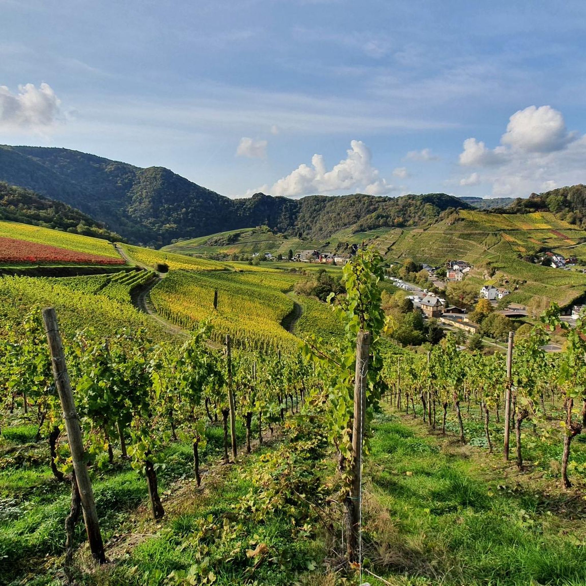
View of the beautiful rock formation at Laach with the Schrock and the Teufelsley with the steep vineyards.
2
0
View of the beautiful rock formation near Mayschoß-Laach with the steep vineyard terraces.
2
0
Frequently Asked Questions
What types of landscapes can I expect to see while hiking around Mayschoß?
Hiking around Mayschoß offers a diverse range of scenery. You'll traverse the picturesque Ahr Valley, with the winding Ahr River and extensive terraced vineyards. The region also features impressive rock formations like Teufelsley and Engelslay, giving some routes a partially alpine feel with rocky passages. Additionally, many trails lead through mixed forests, providing varied natural environments.
Are there any easy hiking trails suitable for families or beginners in Mayschoß?
Yes, Mayschoß offers several easy trails perfect for families or those new to hiking. For instance, the Mayschoß Vineyards – View of Saffenburg loop from Mayschoß is an easy 6.0-mile (9.7 km) path that provides lovely views without significant difficulty. In total, there are 18 easy routes available, ensuring options for all skill levels.
What are some notable landmarks or viewpoints I can discover on hikes in Mayschoß?
Mayschoß is rich in landmarks and viewpoints. You can explore the historic Saffenburg Castle Ruins, which offer magnificent panoramic views, including the 'Most Beautiful Wine View Ahr 2020'. Other highlights include the Teufelsley rock formation, the Ümerich observation tower with expansive views over Mayschoß and Burg Are, and the Schrock Viewpoint. The Schrock Viewpoint – View of Mayschoss Vineyards loop from Mayschoß is a great way to experience these vistas.
Are there any challenging or difficult hiking routes in the Mayschoß area?
Absolutely. Mayschoß is known for its more challenging routes, especially those with an alpine feel. The Mayschoß Vineyards – Teufelsley summit loop from Mayschoß is a difficult 6.0-mile (9.6 km) path that leads through vineyards and ascends to the Teufelsley summit, offering expansive valley views. Another demanding option is the Devil's Hole – Ascent to Teufelsloch loop from Mayschoß, an 8.4-mile (13.5 km) trail featuring varied terrain and rock formations. These routes often require good fitness and sturdy shoes.
What do other hikers say about the trails around Mayschoß?
The hiking trails around Mayschoß are highly regarded by the komoot community, holding an impressive average rating of 4.5 stars from over 1,600 reviews. Hikers frequently praise the stunning vineyard views, the adventurous rock passages, and the well-maintained paths that showcase the unique beauty of the Ahr Valley.
Are there any circular hiking routes available in Mayschoß?
Yes, many of the best hiking experiences in Mayschoß are designed as circular routes, allowing you to start and end in the same location. A popular choice is the Mayschoß Vineyards – Rock Path Above Mayschoß loop from Mayschoß, a moderate 5.1-mile (8.2 km) trail offering scenic views over the vineyards and along a rock path.
Is Mayschoß a good destination for hiking with dogs?
Mayschoß is generally very dog-friendly, with many trails suitable for hiking with your canine companion. The diverse terrain, from vineyard paths to forest trails, provides plenty of stimulation. Always ensure your dog is on a leash, especially in vineyard areas or near wildlife, and carry water for both of you.
What is the best time of year to go hiking in Mayschoß?
The Ahr Valley, including Mayschoß, is beautiful year-round, but spring and autumn are particularly popular for hiking. In spring, the vineyards burst into green, and wildflowers bloom. Autumn offers spectacular colors as the vine leaves turn golden and red, coinciding with the wine harvest season. Summer is also pleasant, though some trails can be exposed to the sun. Winter hikes are possible, offering a different, quieter charm, especially after a fresh snowfall.
Are there any caves or historical sites near the hiking trails in Mayschoß?
Yes, beyond the castles, there are some interesting historical and natural sites. You can find several caves and old mine entrances in the vicinity. For example, the Old Tunnel on the Sahrbachweg and the Sahrbachtal Historic Mine Entrance offer glimpses into the region's past. The World War II Air Raid Shelter (Rhein-Ahr-Eifel) is another significant historical point of interest.
How many hiking routes are available in Mayschoß?
There are over 40 distinct hiking routes available around Mayschoß. This includes a wide range of difficulties: 18 easy routes, 15 moderate routes, and 11 difficult routes, ensuring there's a suitable option for every hiker's preference and fitness level.
Is public transport available to reach hiking trailheads in Mayschoß?
Mayschoß is situated in the Ahr Valley, which is generally well-connected by local public transport, particularly train services along the Ahr River. This makes it convenient to reach the village and various trailheads without a car. It's advisable to check local train and bus schedules for the most up-to-date information on connections to Mayschoß and surrounding areas.
Are there places to eat or stay near the hiking trails in Mayschoß?
Mayschoß is a charming wine village with several options for refreshments and accommodation. You'll find traditional taverns (Straußwirtschaften), restaurants, and cafes where you can enjoy local cuisine and Ahr wines. There are also guesthouses and hotels available for overnight stays, many conveniently located near the start of popular hiking routes.
Most popular routes around Mayschoß
Most popular attractions around Mayschoß

Get inspired with the komoot mobile app


Explore more
Browse the best Hikes in other regions.
