The best walks and hikes around Mauth
4.5
(1960)
7,294
hikers
166
hikes
Hiking around Mauth offers a diverse landscape for outdoor exploration. The region is characterized by dense forests, rolling hills, and unique high moorlands. Trails often lead to prominent summits like Lusen, providing elevated perspectives of the surrounding Bavarian Forest. The area also features tranquil lakes and streams, contributing to varied hiking terrain.
Best hiking trails around Mauth
- The most popular hiking route is Rock Hiking Area – Great Kanzel Summit loop from Mauth, a 8.7 miles (14.0 km) trail…
Last updated: July 1, 2026
4.8
(366)
1,081
hikers
14.0km
04:23
400m
400m
Hard hike. Good fitness required. Sure-footedness, sturdy shoes and alpine experience required.
4.8
(50)
237
hikers
11.6km
04:12
550m
550m
Hard hike. Good fitness required. Sure-footedness, sturdy shoes and alpine experience required.

Sign up for free
4.6
(53)
195
hikers
4.61km
01:16
80m
80m
Easy hike. Great for any fitness level. Easily-accessible paths. Suitable for all skill levels.
4.9
(48)
148
hikers
15.0km
04:25
370m
370m
Moderate hike. Good fitness required. Mostly accessible paths. Sure-footedness required.
4.3
(29)
103
hikers
9.58km
02:40
180m
180m
Moderate hike. Good fitness required. Easily-accessible paths. Suitable for all skill levels.
Get access to more routes and recommendations from other explorers.
Sign up for free
Already have an account?
Our route recommendations are based on thousands of hikes, rides, and runs completed by other people on komoot.
Start today with a free account
Your next adventure awaits.
Login or Signup
Popular around Mauth

The Goldsteig – 38 stages between Upper Palatinate and Passau
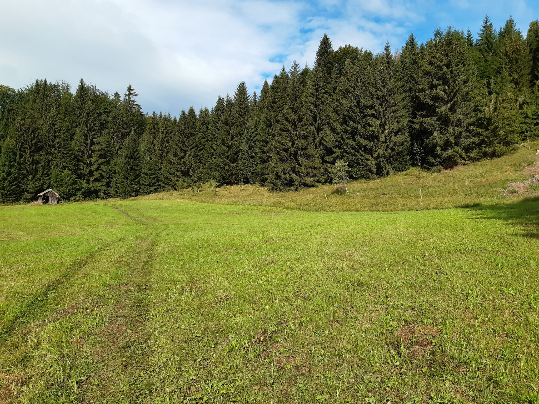
Discover the Green Belt in the Bavarian Forest with BUND
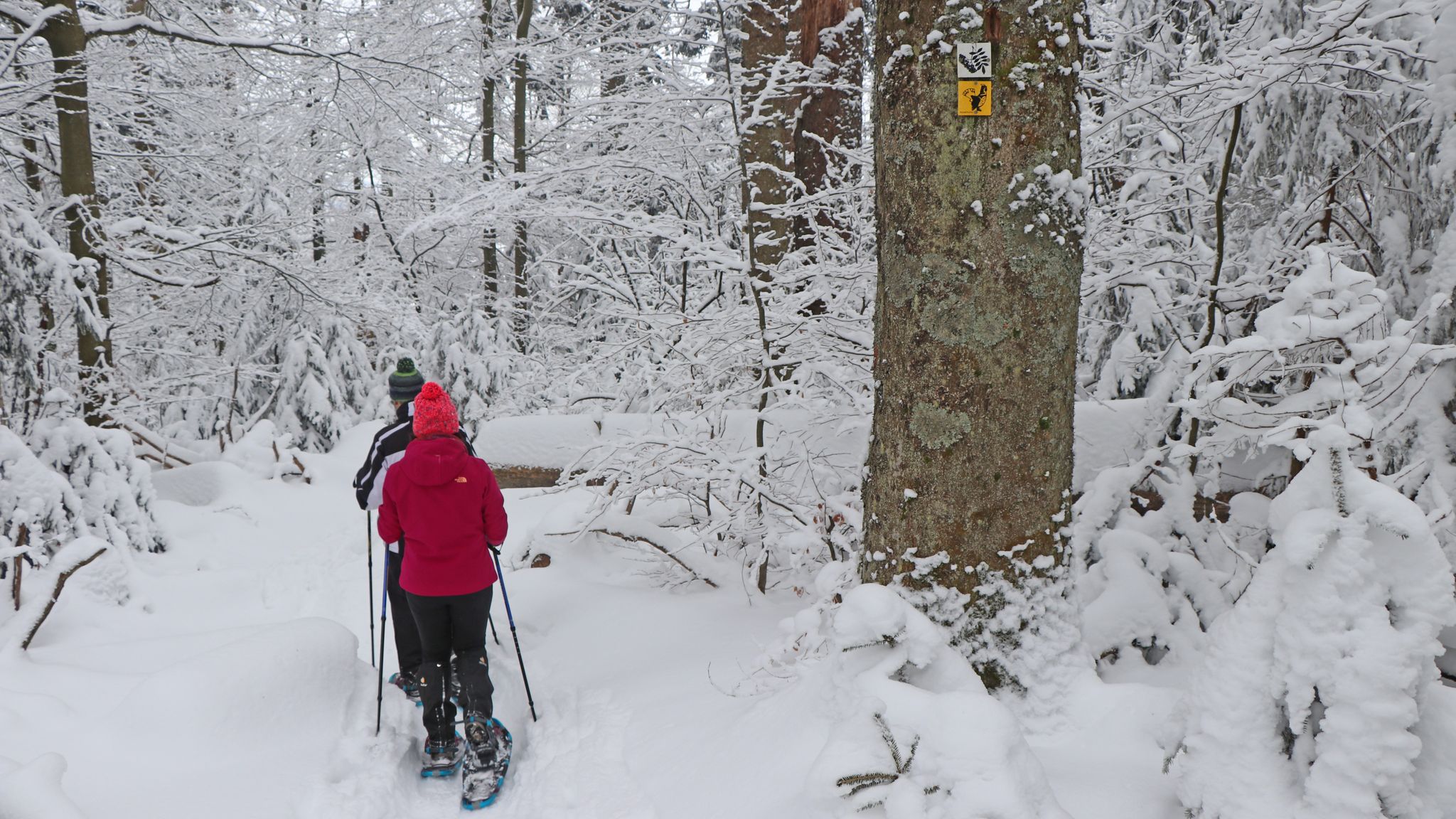
On snowshoes in the Bavarian Forest National Park

Discover the nature along the “Greenbelt” together with the BUND
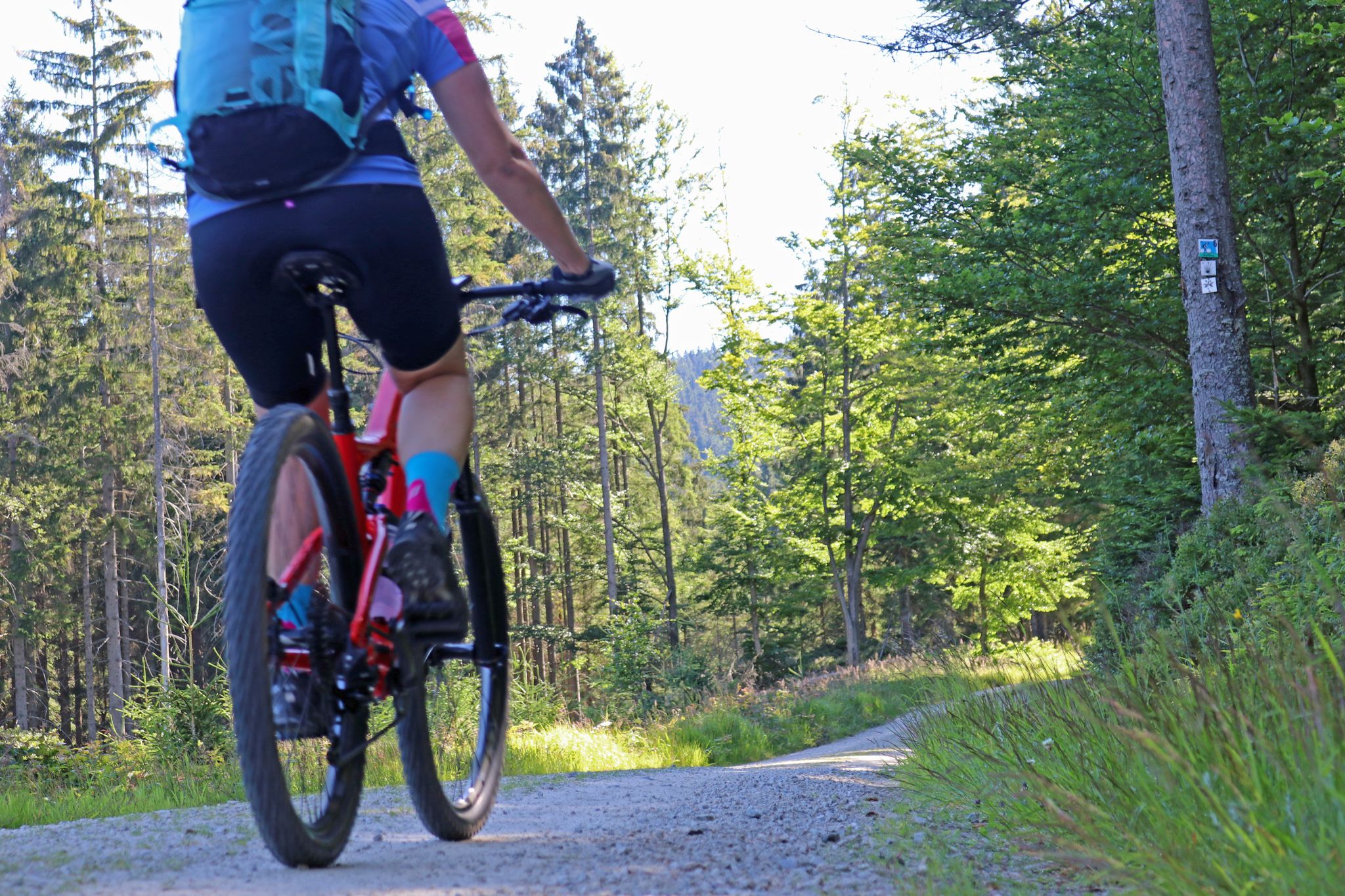
The most beautiful bike tours in the Bavarian Forest National Park
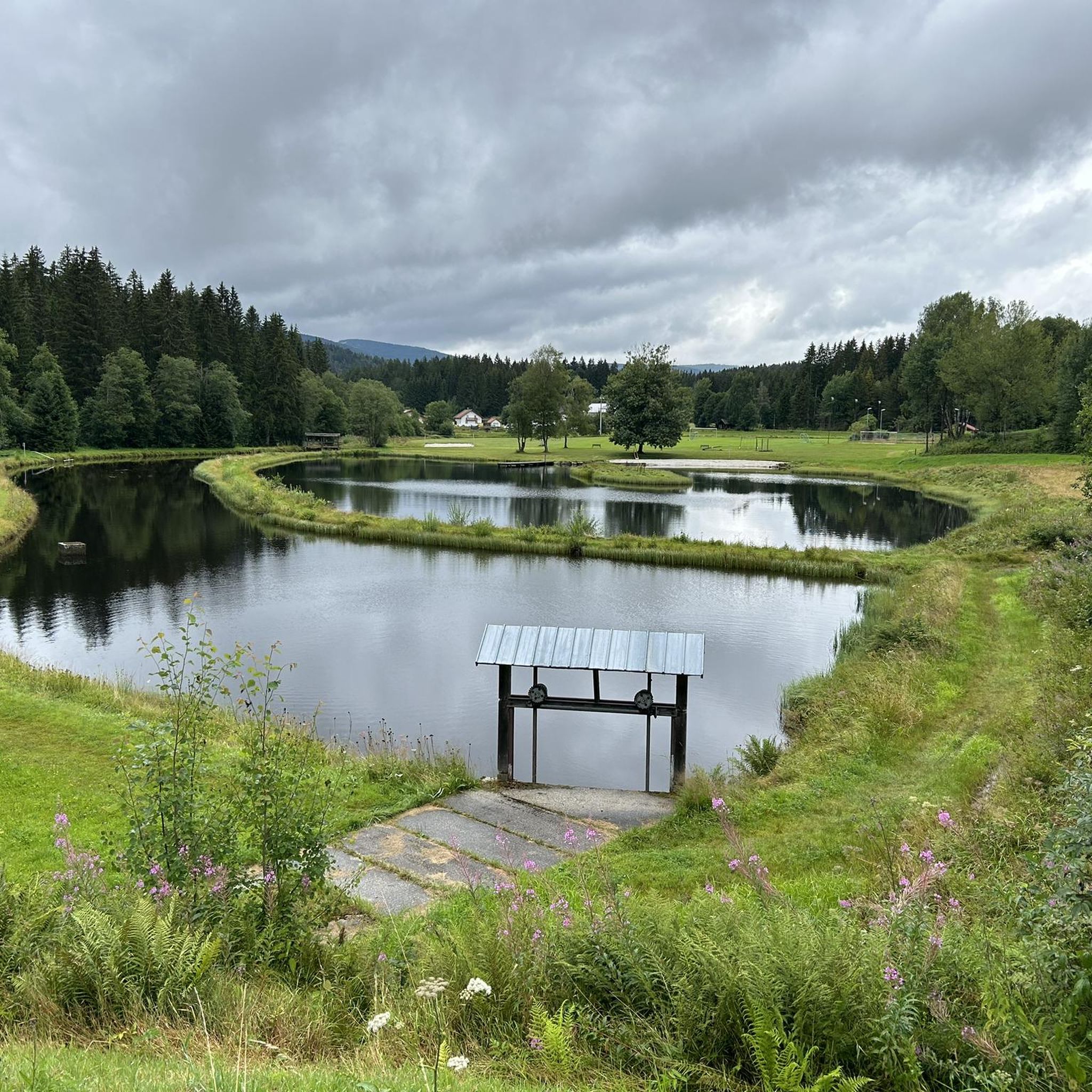
MTB Trails around Mauth
Cycling around Mauth
Running Trails around Mauth
Road Cycling Routes around Mauth

Mountain Hikes around Mauth
Other adventures around Mauth


Tips from the Community

nice playground for the little ones 😉
0
0

Small border crossing
3
0

Beautiful hiking trail along the Reschbach stream, mostly in the forest, so wonderful even in sunshine.
1
0
Dam of the Teufelsbach, previously the felled timber was floated further along the Teufelsbach.
0
0


An interesting place. A quiet hiking area.
0
0
Quiet hiking area with lots of nature.
0
0
Frequently Asked Questions
What kind of terrain can I expect when hiking around Mauth?
Hiking around Mauth offers a diverse landscape characterized by dense forests, rolling hills, and unique high moorlands. Trails often lead to prominent summits, providing elevated perspectives of the surrounding Bavarian Forest. The area also features tranquil lakes and streams, contributing to varied hiking terrain.
Are there easy hiking trails suitable for beginners or families in Mauth?
Yes, Mauth offers a good selection of easy trails. There are 64 easy routes available. An example is the View of Lusen – Wistlberg Café loop from Mauther Forst, which is 2.9 miles (4.6 km) long and takes about 1 hour 16 minutes to complete.
What are some notable natural features or landmarks to see on hikes in Mauth?
Hikers can explore several interesting natural features and landmarks. The prominent Lusen Summit offers expansive views. You might also encounter the Teufelsloch: granite boulder field with an underground stream, or the tranquil Martinsklause Reservoir.
Are there any circular hiking routes available in Mauth?
Yes, many routes around Mauth are designed as loops. For example, the Finsterauer Filz High Moor – Reschbachklause loop from Mauther Forst is a moderate 9.3 miles (14.9 km) trail that takes about 4 hours 24 minutes to complete.
What do other hikers say about the trails in Mauth?
The routes in Mauth are highly rated by the komoot community, with an average score of 4.5 stars from over 1800 reviews. Hikers often praise the diverse terrain, from dense forests to high moorlands, and the rewarding views from summits like Lusen.
Are there any trails that lead to a café or hut for a break?
Yes, some routes incorporate stops at local establishments. The View of Lusen – Wistlberg Café loop from Mauther Forst specifically mentions a café, providing a convenient place for a break during your hike. Additionally, the Lusen Shelter is a hut accessible on some trails.
How many hiking trails are there in Mauth in total?
There are over 160 hiking trails available around Mauth, offering a wide range of options for different skill levels and preferences.
What is the best time of year to go hiking in Mauth?
While specific seasonal data isn't provided, the Bavarian Forest region, including Mauth, is generally beautiful for hiking from spring through autumn. Spring brings blooming nature, summer offers pleasant temperatures, and autumn showcases vibrant foliage. Winter hiking is also possible, but conditions can be challenging due to snow and ice, requiring appropriate gear.
Are there any trails that offer views of the Lusen Summit?
Yes, several trails provide excellent views of the Lusen Summit. The View of Lusen – Wistlberg Café loop from Mauther Forst is specifically designed to offer vistas towards Lusen. Additionally, the Finsterauer Lusensteig Trail – Lusen Summit loop from Mauther Forst directly ascends to the summit itself, providing expansive panoramic views.
Are there any trails that pass by lakes or water features?
Yes, Mauth's hiking landscape includes tranquil lakes and streams. The Hammerklause Lake – Finsterauer Filz High Moor loop from Mauther Forst is a moderate 5.8 miles (9.3 km) route that passes by Hammerklause Lake, offering scenic water views.
What is the difficulty range of hikes in Mauth?
Mauth offers a range of difficulties to suit various hikers. There are 64 easy routes, 81 moderate routes, and 21 difficult routes. This variety ensures options for casual strolls as well as challenging ascents.
Are there any specific areas known for high moorlands in Mauth?
Yes, the region is known for its unique high moorlands. The Finsterauer Filz High Moor – Reschbachklause loop from Mauther Forst and the Hammerklause Lake – Finsterauer Filz High Moor loop from Mauther Forst are excellent options for exploring these distinctive natural environments.
Most popular attractions around Mauth

Get inspired with the komoot mobile app


Explore more
Browse the best Hikes in other regions.
