The best walks and hikes around Oberfischbach
4.6
(6533)
20,083
hikers
889
hikes
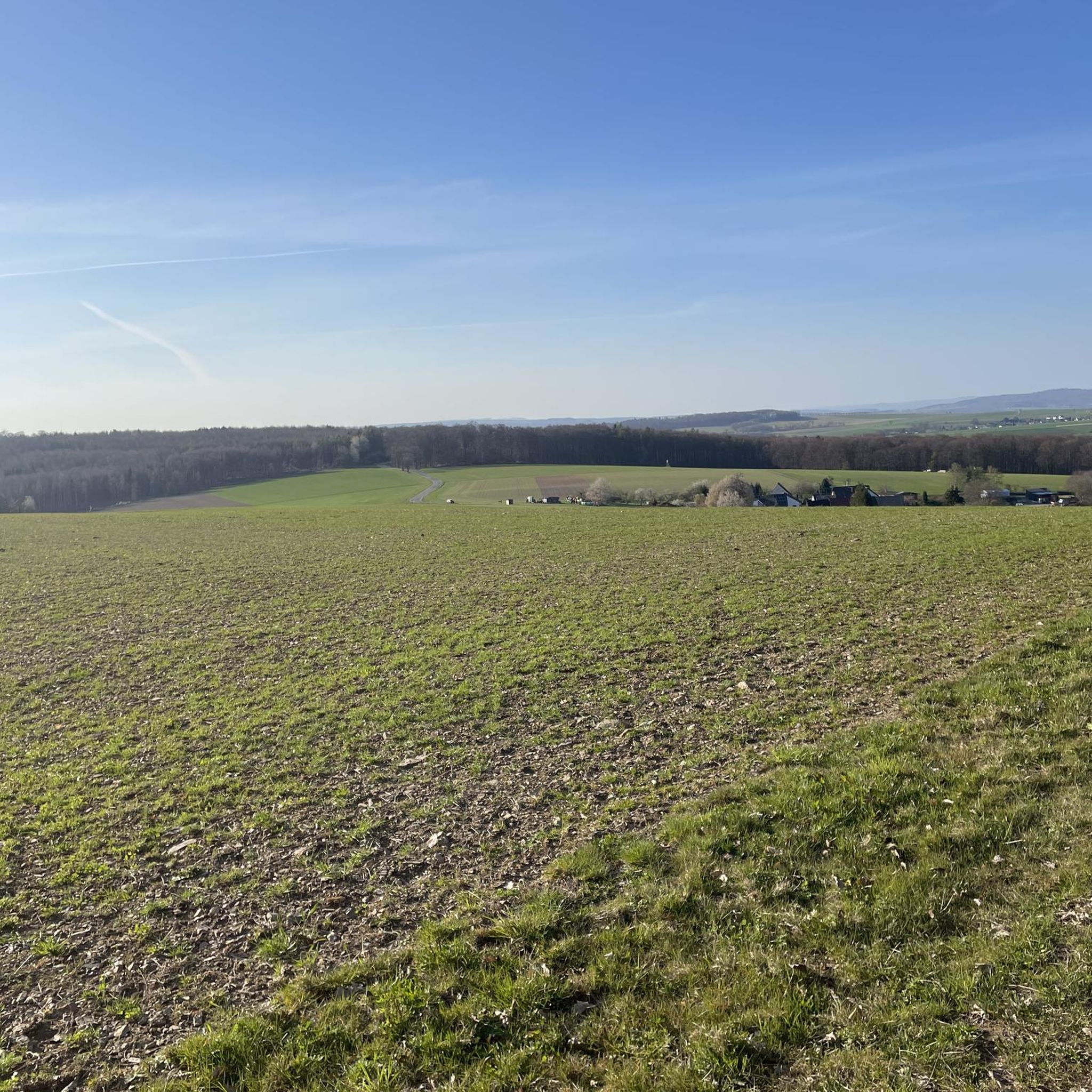
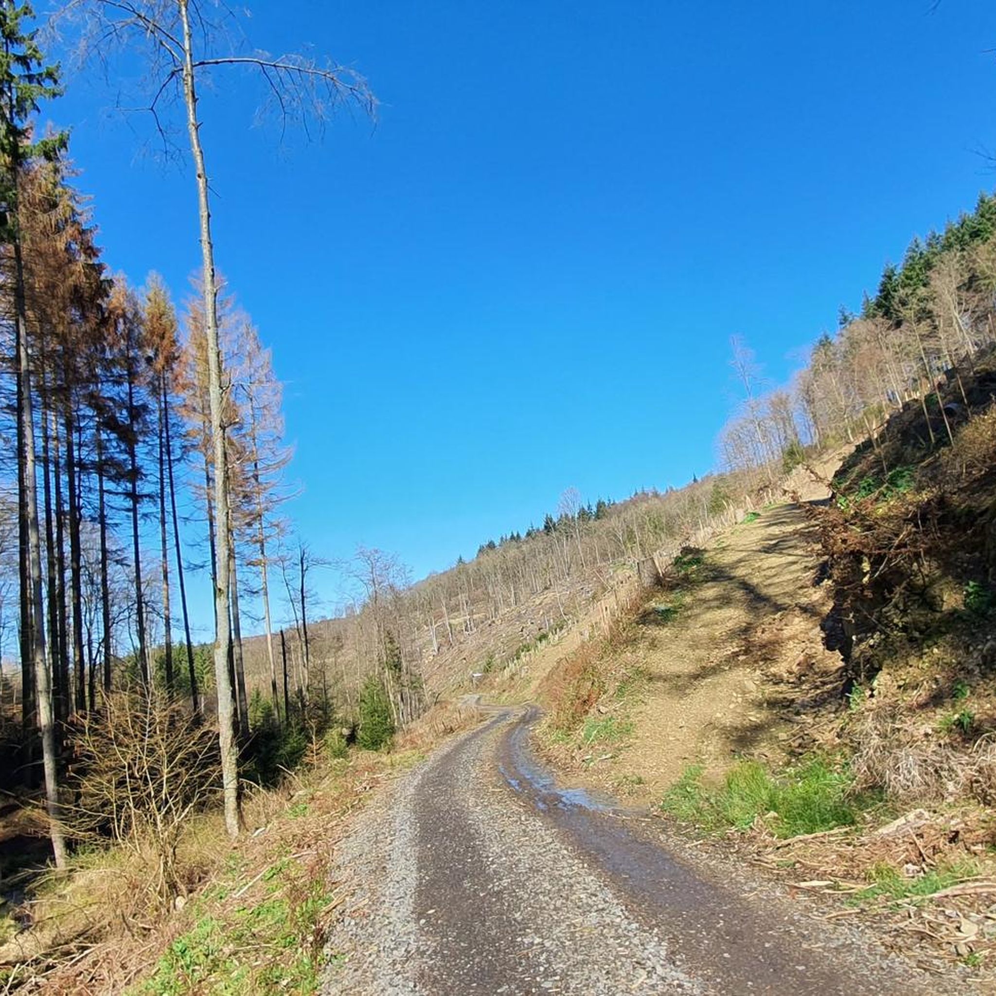
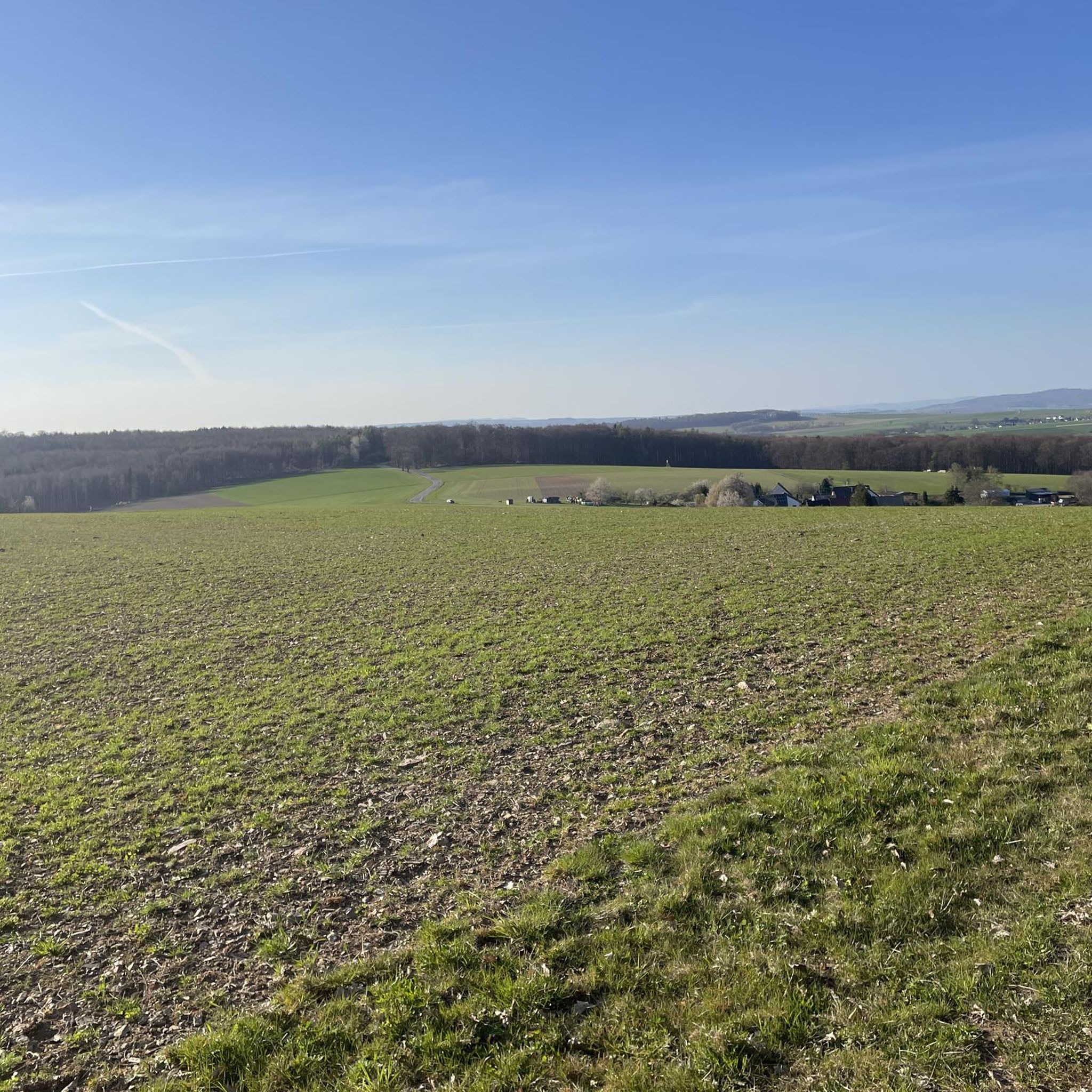
Hiking around Oberfischbach, located in the Rhein-Lahn-Kreis district of Rhineland-Palatinate, Germany, offers diverse terrain for outdoor enthusiasts. The region is characterized by the scenic Einrich area, featuring the canyon-like Dörsbachtal with its narrow paths and steep cliffs, alongside extensive forests and meadows. Elevated viewpoints provide vistas over the Lahn Valley and the distant Westerwald and Taunus plateaus, making these hiking trails Oberfischbach Germany a compelling destination.
Best hiking trails around Oberfischbach
- The most popular hiking route is Jammertal Trail –…
Last updated: October 4, 2026
4.5
(32)
95
hikers
13.2km
03:49
320m
330m
Hard hike. Good fitness required. Sure-footedness, sturdy shoes and alpine experience required.
4.7
(35)
118
hikers
10.3km
02:46
130m
130m
Moderate hike. Good fitness required. Easily-accessible paths. Suitable for all skill levels.

4.9
(17)
43
hikers
8.17km
02:11
90m
90m
Hard hike. Good fitness required. Sure-footedness, sturdy shoes and alpine experience required.
4.0
(2)
17
hikers
10.6km
02:58
210m
210m
Moderate hike. Good fitness required. Easily-accessible paths. Suitable for all skill levels.
5.0
(2)
21
hikers
Easy hike. Great for any fitness level. Easily-accessible paths. Suitable for all skill levels.
Get access to more routes and recommendations from other explorers.
Already have an account?
Our route recommendations are based on thousands of hikes, rides, and runs completed by other people on komoot.
Start today with a free account
Your next adventure awaits.
Tips from the Community

Small parking lot directly on the Limesweg; it is approx. 1.5 km to Kastell Holzhausen from here.
0
0

The Holzhausen Roman Fort is an impressive example of Roman military architecture on the Upper Germanic Limes—now a UNESCO World Heritage Site. It is idyllically situated in the forest near Holzhausen an der Haide in the Rhein-Lahn district and is one of the best-preserved Limes forts in Germany.
1
0

route for people with knee injuries😂
0
0

Several mills along the way
0
0
Beautiful hiking trail Recommended
0
0
Several mills along the narrow
0
1
Varied path along the stream
0
0
Nice place to rest
0
0
Frequently Asked Questions
How many hiking trails are available around Oberfischbach?
There are over 900 hiking routes around Oberfischbach, offering a wide range of options for all skill levels. Approximately 500 of these are considered easy, 340 are moderate, and about 75 are difficult, ensuring there's a suitable path for every hiker.
What kind of landscapes can I expect to see while hiking near Oberfischbach?
The region around Oberfischbach is characterized by diverse landscapes. You'll find the scenic, canyon-like Dörsbachtal (also known as 'Jammertal') with its narrow, shaded paths and steep cliffs. Beyond that, the area features extensive forests, open meadows, and elevated viewpoints offering breathtaking vistas over the Lahn Valley and the distant Taunus and Westerwald plateaus.
Are there any historical sites or landmarks to explore on the trails?
Yes, the region is rich in history. You can hike to the well-preserved Roman fort (Kastell Holzhausen), a UNESCO World Heritage site, by following routes like the Holzhausen Roman Fort – Limes Shelter Nassau loop from Rettert. This area provides a fascinating glimpse into ancient Roman history amidst natural surroundings.
What do other hikers enjoy most about the trails around Oberfischbach?
The trails around Oberfischbach are highly rated by the komoot community, with an average score of 4.6 stars from over 5,300 reviews. Hikers frequently praise the wild and romantic atmosphere of the Dörsbachtal, the diverse natural scenery, and the well-maintained paths that cater to various difficulty levels.
Are there any circular hiking routes available?
Yes, many routes around Oberfischbach are circular, allowing you to start and end at the same point. For example, the Jammertal Trail – Jammertal at the Dörsbach loop from Ergeshausen is a popular difficult circular route that explores the stunning Dörsbachtal.
Are there any waterfalls or unique natural monuments to discover?
Absolutely! You can find several interesting natural features. The Teufelsdell Waterfall is a notable highlight. Additionally, the region boasts unique rock formations like the Wild Women’s Cave rock formation and the dramatic Landgraben Gorge Rock Crevice.
What is the best time of year to go hiking in Oberfischbach?
The best times for hiking in Oberfischbach are generally spring and autumn. During these seasons, you'll experience mild temperatures and vibrant scenery, whether it's the fresh greenery of spring or the rich colors of autumn foliage. Summer can also be pleasant, especially in the shaded parts of the Dörsbachtal.
Are there any easy trails suitable for beginners or a relaxed walk?
Yes, there are plenty of easy routes. One option for a more relaxed experience is the Jammertal at the Dörsbach – Jammertal and Jammertal Mill loop from Ergeshausen, which is an easy 5.9 km trail that takes you through the scenic Jammertal.
Can I reach the hiking areas using public transport?
While specific public transport connections to every trailhead might vary, the region is part of the Rhein-Lahn-Kreis, which has some public transport infrastructure. For detailed information on reaching specific starting points like Ergeshausen or Rettert, it's advisable to check local bus schedules or regional transport websites.
Are there any long-distance hiking trails that pass through or near Oberfischbach?
Yes, the broader Rhein-Lahn-Kreis region is home to significant long-distance trails. The extensive Lahn Trail (Lahnwanderweg), which follows the Lahn River for over 240 kilometers, and the historic Castle Trail (Burgenweg), connecting numerous castles, are both accessible within the wider area, offering opportunities for multi-day adventures.
What wildlife might I encounter while hiking in the Dörsbachtal?
The Dörsbachtal is known for its diverse flora and fauna. Hikers might spot wall lizards basking on sunny rocks, and potentially rare smooth snakes. Near the stream, you could observe dippers and grey wagtails, while the oak forests are home to stag beetles, making for an engaging nature experience.
Most popular routes around Oberfischbach
Most popular attractions around Oberfischbach

Get inspired with the komoot mobile app


Explore more
Browse the best Hikes in other regions.
