The best walks and hikes around Oberhausen an der Nahe
4.6
(1004)
3,329
hikers
26
hikes
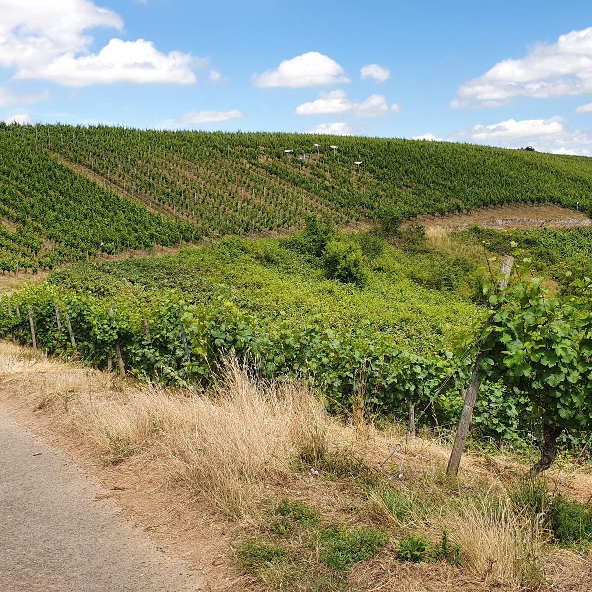
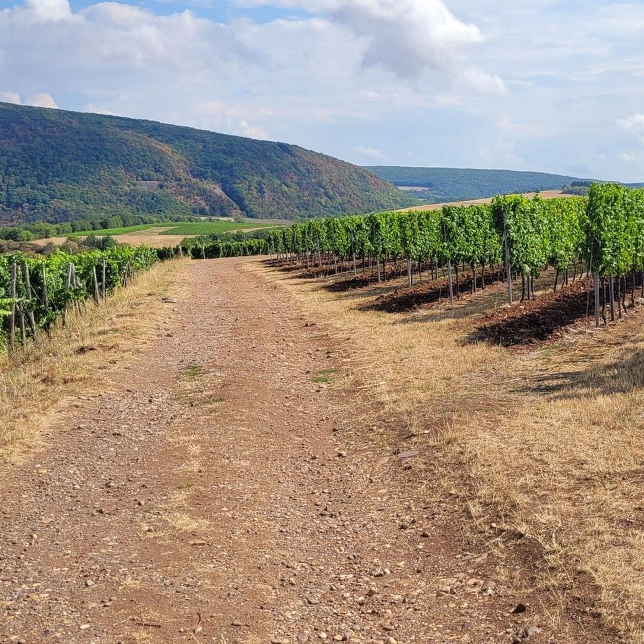
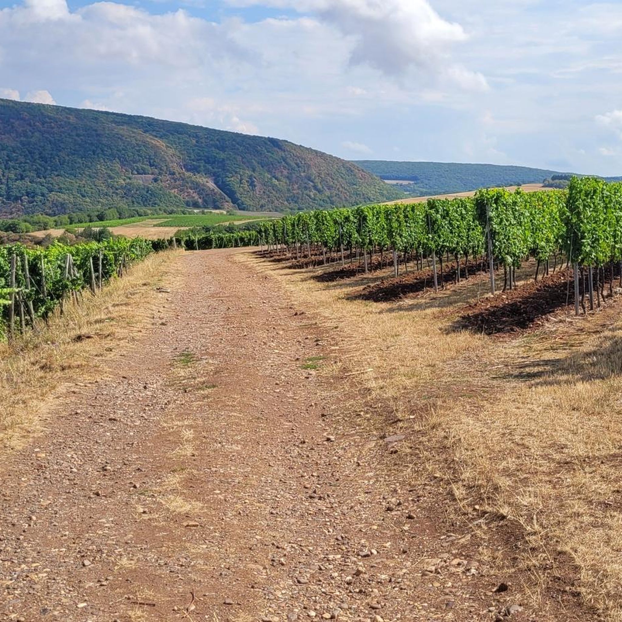
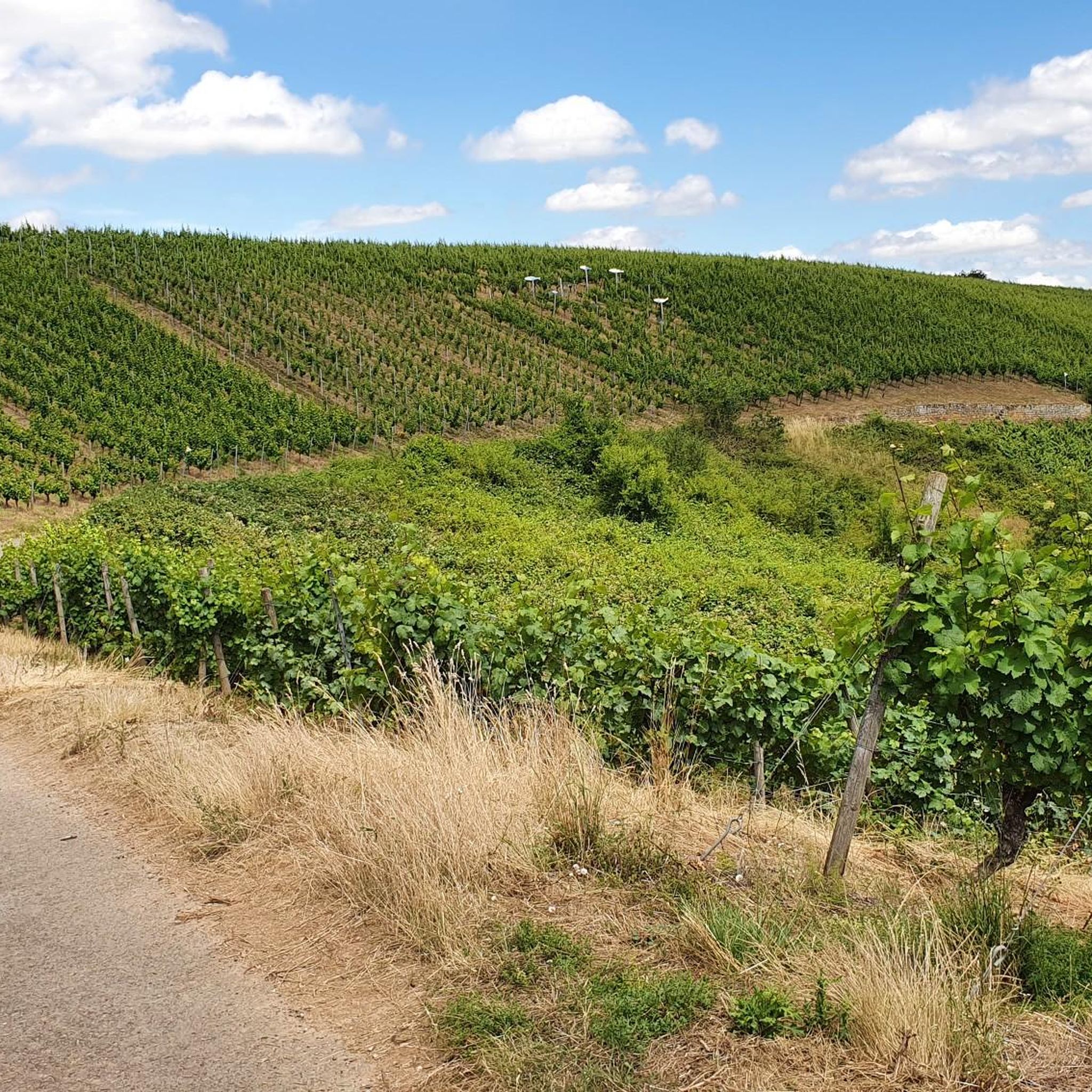
Hiking around Oberhausen an der Nahe offers diverse landscapes, characterized by the rolling hills of the Nahe valley and extensive vineyards. The region features significant natural landmarks such as the Rotenfels Cliff, the highest rock face between the Alps and Scandinavia. Elevated perspectives are available from hills like Gangelsberg (340 m), Rotenfels (327 m), and Galgenberg (335 m). This area provides an idyllic setting for outdoor pursuits, with a mix of natural and historical features.
Best hiking trails around Oberhausen…
Last updated: July 15, 2026
4.9
(679)
2,071
hikers
15.7km
05:11
630m
630m
Hard hike. Very good fitness required. Mostly accessible paths. Sure-footedness required.
4.9
(174)
616
hikers
Moderate hike. Good fitness required. Mostly accessible paths. Sure-footedness required.

Sign up for free
4.9
(11)
46
hikers
Moderate hike. Good fitness required. Easily-accessible paths. Suitable for all skill levels.
4.7
(23)
55
hikers
10.2km
02:53
230m
230m
Moderate hike. Good fitness required. Easily-accessible paths. Suitable for all skill levels.
4.9
(16)
68
hikers
Moderate hike. Good fitness required. Easily-accessible paths. Suitable for all skill levels.
Get access to more routes and recommendations from other explorers.
Sign up for free
Already have an account?
Our route recommendations are based on thousands of hikes, rides, and runs completed by other people on komoot.
Start today with a free account
Your next adventure awaits.
Login or Signup
Tips from the Community

Very beautiful cycle paths through the vineyards
0
0

Kinnsfels Tunnel exit. Going through it is quite an experience.
0
0

This is the Kinnsfels Tunnel – I wonder if Komoot generated this name again with its AI program?
0
0

A comfortable bench with a beautiful view.
1
0
The Kinnsfels Tunnel – also known as the Kinnsfels Tunnel – is, along with the Elschbach Tunnel and the Meisenheim Tunnel, one of three tunnels on the Glan Valley Railway, which has been closed since 1996. It was located on the northern section of the line between Odernheim and Bad Münster. This railway line, built for strategic reasons… Wikipedia
1
0
The Kinnsfels Tunnel – also known as the Kinnsfels Tunnel – is, along with the Elschbach Tunnel and the Meisenheim Tunnel, one of three tunnels on the Glan Valley Railway, which has been closed since 1996. It was located on the northern section of the line between Odernheim and Bad Münster. This railway line, built for strategic reasons… Wikipedia
1
0
A very nice rest area right next to the beautiful Luipold Bridge.
1
0

A sturdy bench from which you can enjoy the scenery.
0
0
Frequently Asked Questions
What types of hiking trails are available in Oberhausen an der Nahe?
Oberhausen an der Nahe offers a diverse range of hiking trails, catering to various fitness levels. You'll find everything from easy walks to more challenging routes. The area is characterized by rolling hills, extensive vineyards, and significant natural landmarks like the Rotenfels Cliff. There are over 30 routes in total, with 14 easy, 15 moderate, and 1 difficult option.
Are there any easy hiking trails suitable for beginners or casual walkers?
Yes, Oberhausen an der Nahe has 14 easy hiking trails perfect for beginners or those looking for a relaxed stroll. These routes often wind through the scenic Nahe valley and vineyards, providing beautiful views without strenuous climbs. Many of these trails are circular, allowing for a convenient return to your starting point.
What are some notable natural landmarks or viewpoints to see while hiking?
The region is rich in natural beauty and offers several impressive landmarks and viewpoints. The most prominent is the Rotenfels Cliff, the highest rock face between the Alps and Scandinavia. You can also enjoy breathtaking 360-degree panoramic views over the Naheland region and Lemberg from various elevated points. Specific viewpoints include the View of the Nahe Valley from Lemberghütte Observation Platform and the Gangelsberg Stone Table and Scenic Viewpoint.
Are there any family-friendly hiking options in Oberhausen an der Nahe?
Yes, the region offers family-friendly hiking experiences. A notable option is the themed trail "On the tracks of copper mining," which leads to old mining tunnels and provides an educational insight into the region's history. This trail is specifically designed to be engaging for families. Many of the easier, circular routes are also suitable for families with children.
Can I bring my dog on the hiking trails in Oberhausen an der Nahe?
Most hiking trails in Oberhausen an der Nahe are dog-friendly, allowing you to enjoy the beautiful scenery with your canine companion. It's always recommended to keep your dog on a leash, especially in nature reserves or areas with livestock, and to carry waste bags to maintain the cleanliness of the trails.
What is the best time of year to go hiking in Oberhausen an der Nahe?
The best seasons for hiking in Oberhausen an der Nahe are spring and autumn. During these times, the natural scenery is particularly vibrant, with blooming flowers in spring and colorful foliage in autumn. The temperatures are also generally milder and more pleasant for outdoor activities than in the peak summer heat or winter cold.
Are there any circular hiking routes available?
Yes, many of the hiking trails in Oberhausen an der Nahe are circular routes, offering convenient starting and ending points. For example, the Ghost Bench – Trombach Gorge loop from Oberhausen an der Nahe and the Beutelfels Quarry – Ghost Bench loop from Oberhausen an der Nahe are popular circular options. The Prinzregent-Luitpold Loop is another well-known circular route around the village.
Are there any hikes that feature historical or unique structures like tunnels?
Yes, several hikes in the area incorporate unique historical features. The Winsfels Tunnel – Kinnsfels Tunnel loop from Oberhausen an der Nahe is a moderate trail that integrates former railway tracks and the old Kinnsfelstunnel, providing an interesting element to your hike. The region also has themed trails exploring old mining tunnels.
What do other hikers say about the trails in Oberhausen an der Nahe?
The hiking routes in Oberhausen an der Nahe are highly rated by the komoot community, with an average score of 4.6 stars from over 980 reviews. Hikers often praise the diverse landscapes, the impressive Rotenfels Cliff, and the well-maintained paths that offer options for various ability levels. Many appreciate the tranquility and pure nature found on these trails.
Are there places to eat or drink near the hiking trails?
Yes, you can find options for refreshments. For example, the Waldheim is a restaurant, and the Herrenhof Café, Wine and Snack Bar offers a place to relax and refuel. Some trails, like the "village discovery route," also pass by refreshment stops within Oberhausen an der Nahe itself.
Are there any challenging hikes for experienced hikers?
While most trails are easy to moderate, there is at least one difficult route available for experienced hikers seeking a greater challenge. The region's varied terrain, including mountain peaks like Gangelsberg (340 m) and Galgenberg (335 m), offers elevated perspectives and more demanding ascents for those looking for a strenuous workout.
Is there a hike that includes the Schmittenstollen Visitor Mine?
Yes, the Ghost Bench – Schmittenstollen Visitor Mine loop from Oberhausen an der Nahe is a moderate 10 km hike that takes you past the Schmittenstollen Visitor Mine, offering an opportunity to explore this historical site during your outdoor adventure.
Most popular routes around Oberhausen an der Nahe
Most popular attractions around Oberhausen an der Nahe

Get inspired with the komoot mobile app


Explore more
Browse the best Hikes in other regions.
