The best MTB trails around Oberhünigen
4.5
(760)
3,782
riders
285
rides
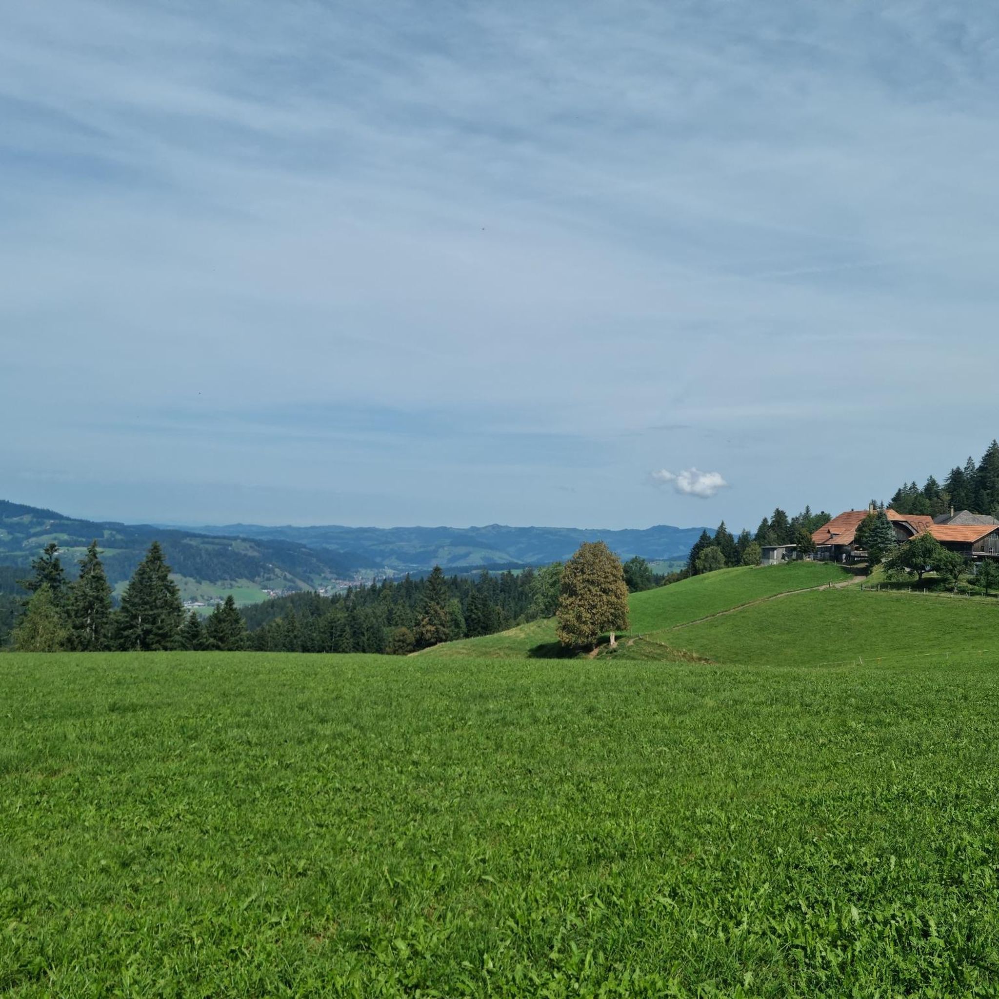
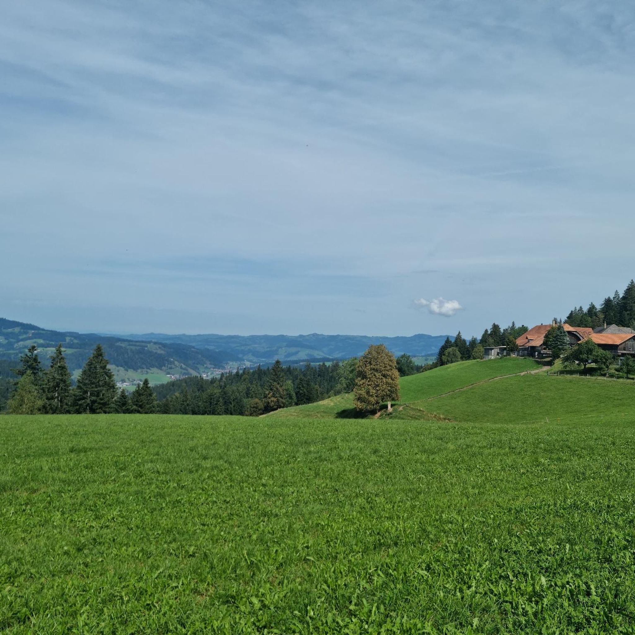
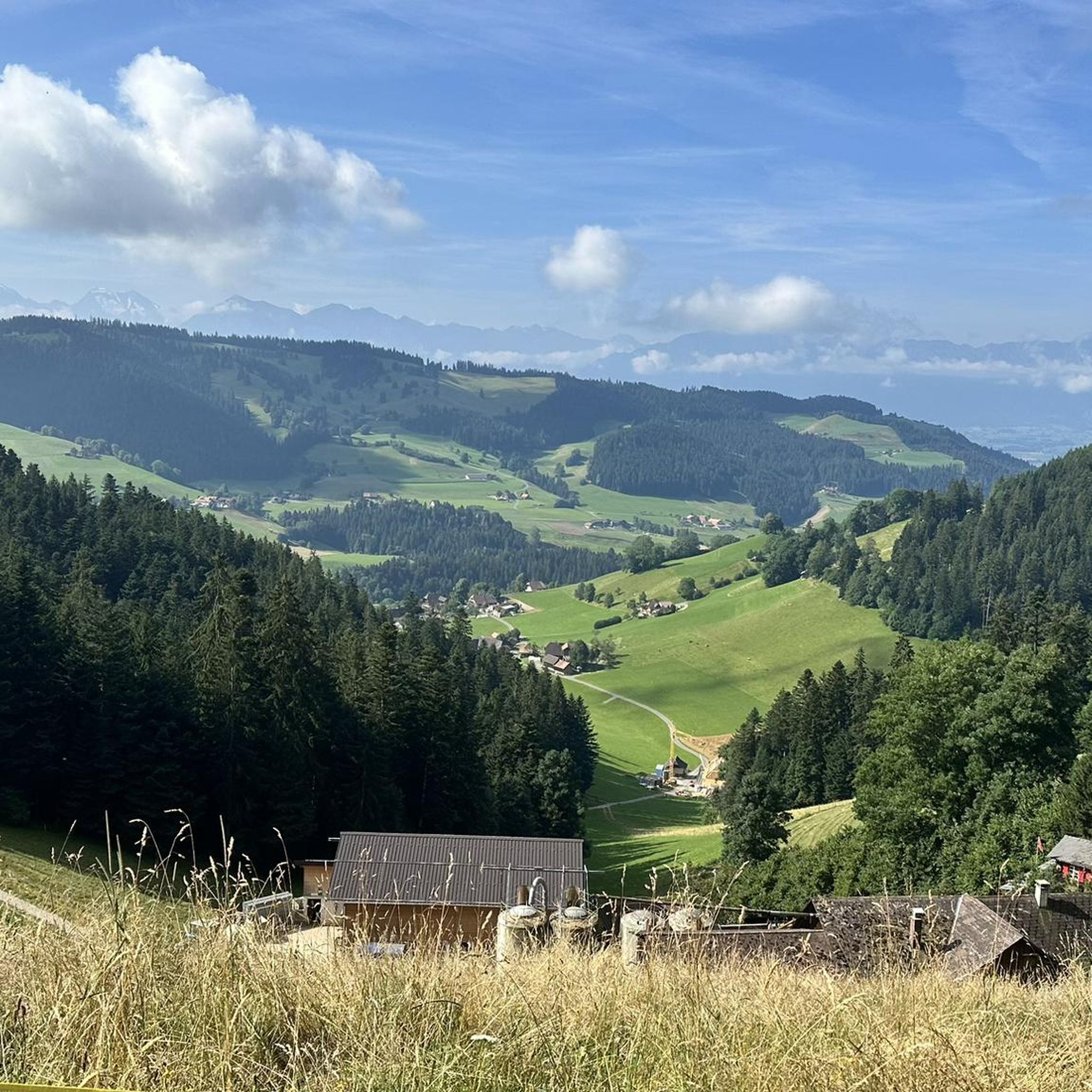
Mountain biking around Oberhünigen offers diverse landscapes within the Bern-Mittelland administrative district of Switzerland. The region is characterized by a pre-Alpine hilly landscape, featuring prominent hills such as Hürnberg, Lochberg, Hubel, and Churzenberg. Extensive forests, including the Toppwald, cover a significant portion of the area, providing a natural setting for outdoor pursuits. Elevations within the municipality range from approximately 740 to 1,190 meters (2,428 to 3,904 ft) above sea level, contributing to varied terrain.
Best mountain bike trails around Oberhünigen
…Last updated: June 28, 2026
4.6
(14)
55
riders
35.7km
03:04
660m
660m
Moderate mountain bike ride. Good fitness required. Advanced riding skills necessary.
4.8
(6)
30
riders
43.0km
04:18
1,300m
1,300m
Hard mountain bike ride. Very good fitness required. Advanced riding skills necessary.

Sign up for free
4.3
(3)
16
riders
20.8km
02:18
750m
750m
Moderate mountain bike ride. Good fitness required. Advanced riding skills necessary.
5.0
(1)
17
riders
23.7km
02:03
550m
550m
Moderate mountain bike ride. Good fitness required. Suitable for all skill levels.
4.5
(2)
15
riders
28.2km
02:34
790m
790m
Moderate mountain bike ride. Good fitness required. Suitable for all skill levels.
Get access to more routes and recommendations from other explorers.
Sign up for free
Already have an account?
Our route recommendations are based on thousands of hikes, rides, and runs completed by other people on komoot.
Start today with a free account
Your next adventure awaits.
Login or Signup
Tips from the Community

Attention! This place is not a "chapel" but rather a geographical triangulation point from 1903!
0
0
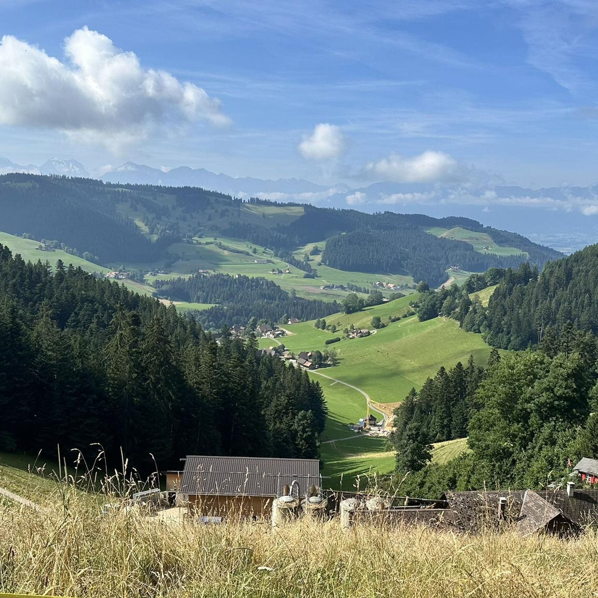
The "Signal", a triangulation point from 1903, still adorns the summit today. Thanks to modern navigation, its usefulness long belongs to past times. Nevertheless, the municipality of Röthenbach, on whose ground it stands, maintains it for conservation reasons. The view extends far across the Emmental to the Oberländer Alps, the Stockhorn and Gantrisch chains, and with good visibility also to the Chasseral mountains, with its distinctive telecommunications antenna. The highest viewing platform of the Chuderhüsiturm can also be clearly seen. Two benches, by the way, invite you to relax. The place is rather unsuitable for bikers, as the paths leading there are hindered by a multitude of narrow pasture crossings.
0
0
The spot offers passers-by an impressive view of the mountain world of the Oberland. In the center, besides the pointed Niesen, is above all the blunt cone of the Stockhorn with the impressive Stockhorn and Gantrisch chain. Here, right at the signpost, you will find an aviator memorial (tombstone) dedicated to the military pilot "Michel Tissot", who crashed here in 1964 with his DH-112 "Venom".
0
0


Check opening hours (as of January 2026)
0
0


Frequently Asked Questions
How many mountain bike trails are available in Oberhünigen?
Oberhünigen offers a wide selection of mountain bike trails, with over 280 routes available. These trails cater to various skill levels, from easy to difficult, ensuring there's something for every rider.
What kind of terrain can I expect when mountain biking in Oberhünigen?
The terrain in Oberhünigen is characterized by a pre-Alpine hilly landscape, featuring prominent hills like Hürnberg, Lochberg, Hubel, and Churzenberg. You'll ride through extensive forests, including the Toppwald, and experience varied elevations ranging from approximately 740 to 1,190 meters above sea level. Expect a mix of steep ascents, rapid descents, and technical sections, especially on more challenging routes.
Are there mountain bike trails suitable for beginners in Oberhünigen?
Yes, Oberhünigen offers 23 easy mountain bike trails, perfect for beginners or those looking for a more relaxed ride. These routes typically feature less elevation gain and smoother paths, allowing you to enjoy the scenic Emmental region at a comfortable pace.
Are there challenging mountain bike trails for advanced riders in Oberhünigen?
Absolutely. For experienced riders seeking a challenge, there are 37 difficult mountain bike trails in Oberhünigen. These routes often include significant elevation changes, technical sections, and exhilarating descents. An example is the Chnübeli Summit – View of the Alps loop from Linden, which features over 1,200 meters of ascent.
Are there any circular mountain bike routes in Oberhünigen?
Yes, many of the mountain bike routes in Oberhünigen are circular, allowing you to start and end at the same point. The region's characteristic hills, such as Hürnberg, Lochberg, Hubel, and Churzenberg, are often incorporated into these loops. The Kiesental-Loop I and II are noted for traversing these hills, with Kiesental-Loop II offering a higher proportion of singletrack for an enhanced riding experience.
What do other mountain bikers say about the trails in Oberhünigen?
The mountain bike trails in Oberhünigen are highly regarded by the komoot community, holding an average rating of 4.5 stars from over 680 reviews. More than 3,700 mountain bikers have explored the area using komoot, often praising the diverse landscapes, extensive forests, and varied terrain suitable for different skill levels.
Are there any bike parks or technical training areas in Oberhünigen?
Yes, Oberhünigen and its surroundings offer bike parks and specific trails for honing technical skills. You can find varied freeride experiences with jumps, steep descents, wallrides, and technical sections. Notable spots include the Tannzäpfu Trail and the Güggel Downhill Trail.
Are there mountain bike trails with good viewpoints in Oberhünigen?
Many trails in Oberhünigen offer stunning panoramic views due to the region's hilly nature. The Chnübeli Summit – View of the Alps loop from Linden provides expansive views of the Alps. Additionally, the Chutzen-Gipfel, Belpberg, offers a 360-degree vista of the Bernese Alps, the Emmental, and the Jura. You can also find great views along the View from Naters – View of the Bernese Alps loop from Linden.
What are some interesting landmarks or attractions I can see near the mountain bike trails?
While riding, you can encounter several interesting landmarks. The Chutzen Summit, Belpberg offers incredible views. Other points of interest include the historic Schwarzenegg Church and Wyl Castle. For a break, the Moosegg Restaurant is also nearby.
Are there any mountain bike trails that follow rivers or offer waterside views?
Yes, you can find routes that follow waterways. The Emme Riverbank Trail – View of Emmental loop from Zäziwil is a popular moderate route that follows the Emme riverbank, providing pleasant waterside views and glimpses of the Emmental region.
Can I find trails that lead to local eateries or cafes for a break?
Many routes in the region pass by or are close to places where you can stop for refreshments. For example, the Restaurant Chuderhüsi – Chuderhüsi Tower loop from Zäziwil is named after a local restaurant, making it convenient for a break during your ride. The region also features cozy cafés in its villages.
What is the highest point I can reach on a mountain bike trail in Oberhünigen?
Within the municipality of Oberhünigen, the highest point is Ringgis, reaching 1,190 meters (3,904 ft). While specific trails may not lead directly to the very peak of Ringgis, many routes traverse the higher elevations of the pre-Alpine landscape, offering significant climbs and rewarding views.
Most popular routes around Oberhünigen
Most popular attractions around Oberhünigen

Get inspired with the komoot mobile app


Explore more
Browse the best MTB trails in other regions.
