The best walks and hikes around Oberlahr
4.6
(5289)
18,052
hikers
17
hikes
Oberlahr hiking trails are primarily found within the Rhein-Westerwald Nature Park, characterized by diverse landscapes. The region features the scenic Wiedtal Valley, where the Wied River carves through the terrain, offering routes along its banks. Elevated areas like the Westerwald Heights provide expansive views, while valleys such as the Grenzbachtal present natural idylls. The area is defined by a mix of forest paths, riverine landscapes, and undulating hills.
Best hiking trails around Oberlahr
- The most popular hiking route is Bridge…
Last updated: July 5, 2026
4.7
(72)
274
hikers
15.1km
04:13
290m
300m
Moderate hike. Good fitness required. Easily-accessible paths. Suitable for all skill levels.
4.9
(9)
41
hikers
Moderate hike. Good fitness required. Easily-accessible paths. Suitable for all skill levels.

Sign up for free
4.3
(9)
25
hikers
14.9km
04:15
320m
320m
Moderate hike. Good fitness required. Mostly accessible paths. Sure-footedness required.
4.3
(17)
62
hikers
6.72km
01:48
80m
80m
Easy hike. Great for any fitness level. Easily-accessible paths. Suitable for all skill levels.
4.3
(6)
21
hikers
12.8km
03:31
200m
200m
Moderate hike. Good fitness required. Easily-accessible paths. Suitable for all skill levels.
Get access to more routes and recommendations from other explorers.
Sign up for free
Already have an account?
Our route recommendations are based on thousands of hikes, rides, and runs completed by other people on komoot.
Start today with a free account
Your next adventure awaits.
Login or Signup
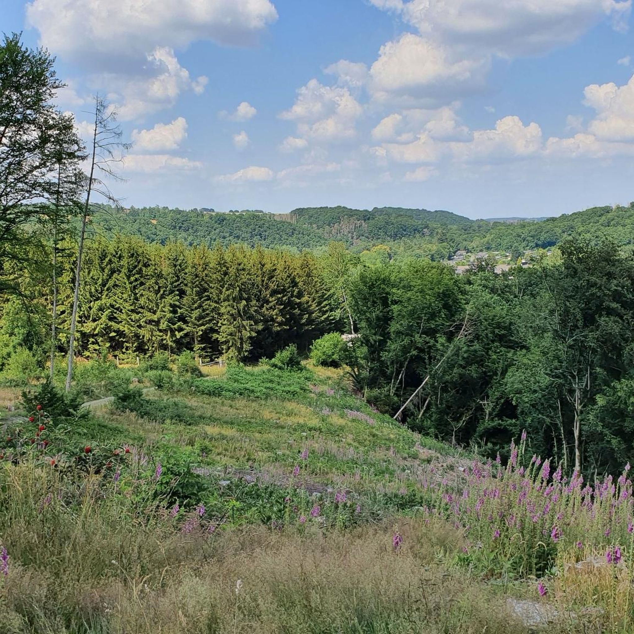
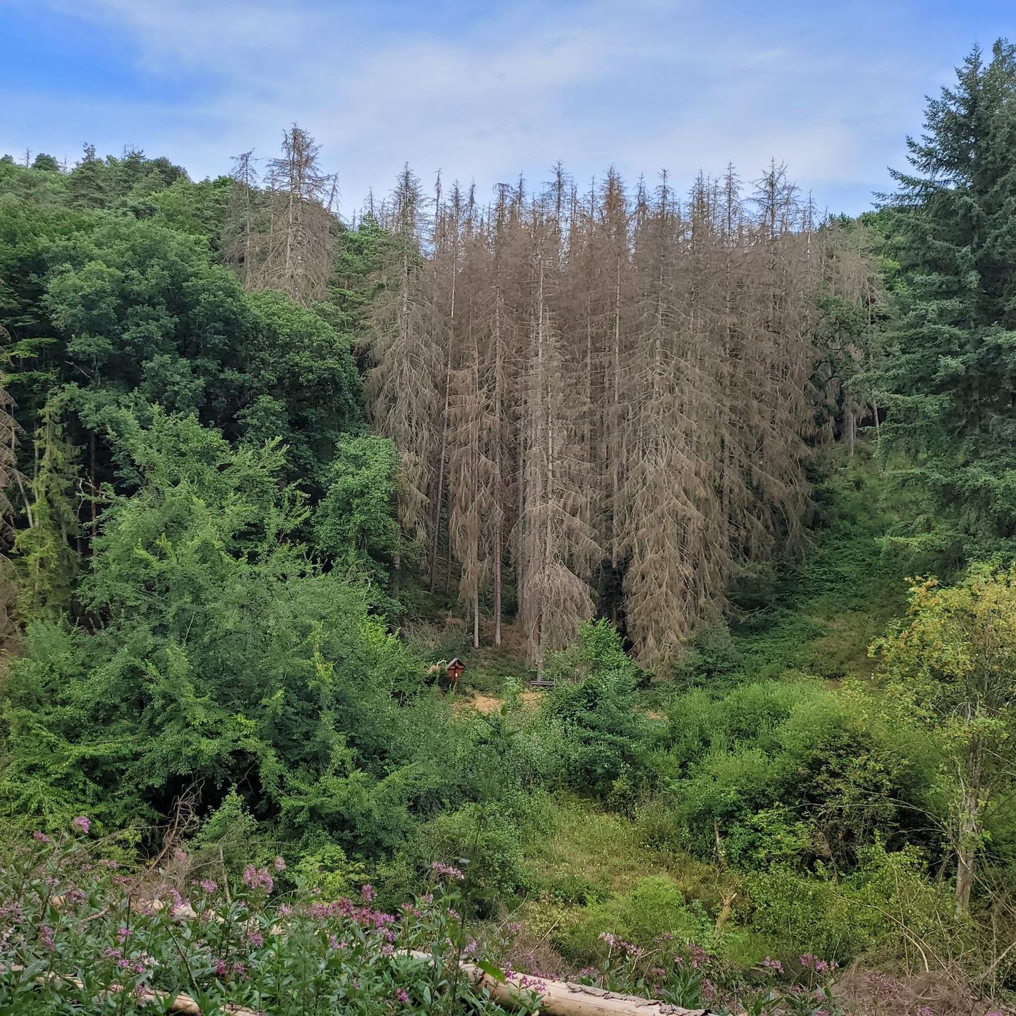
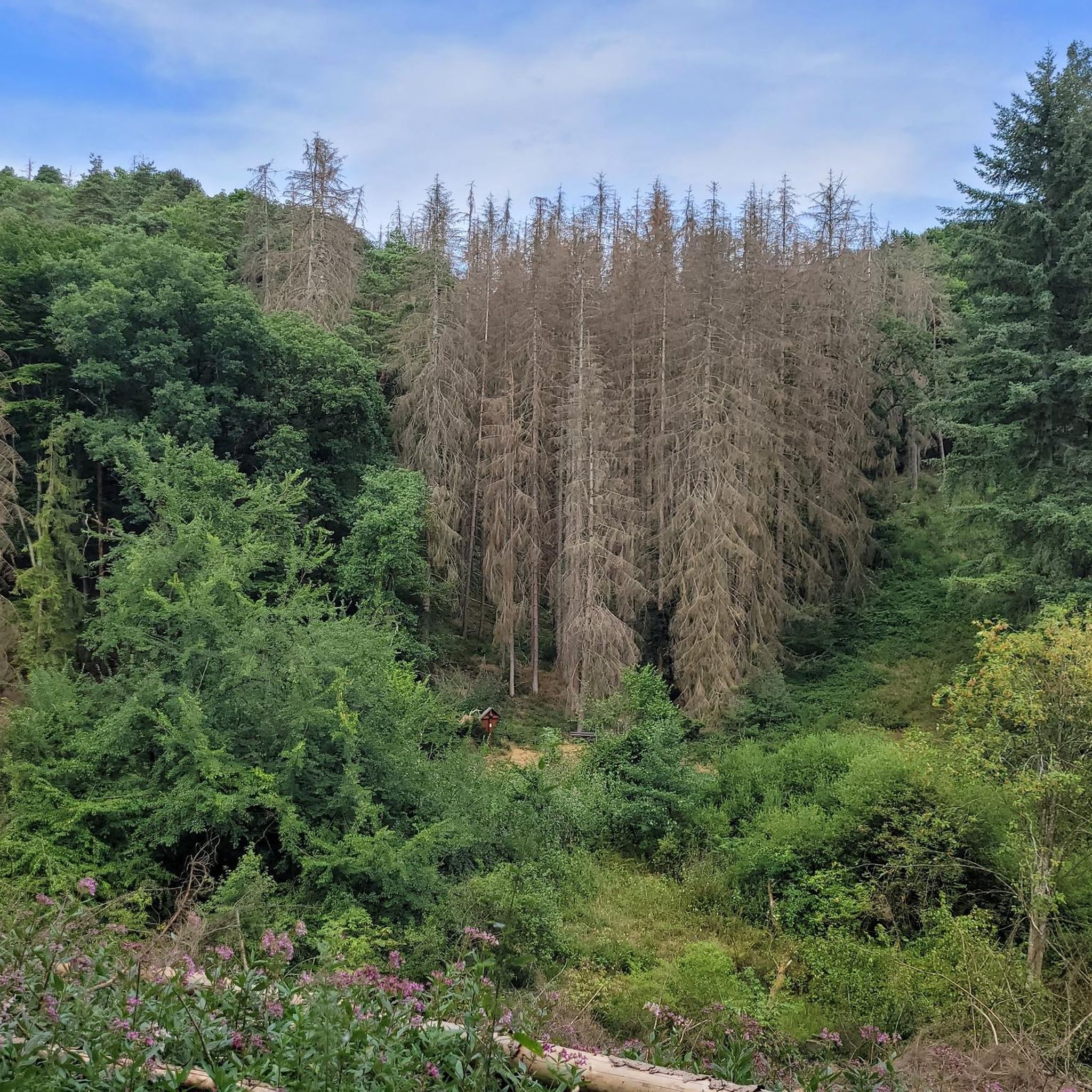
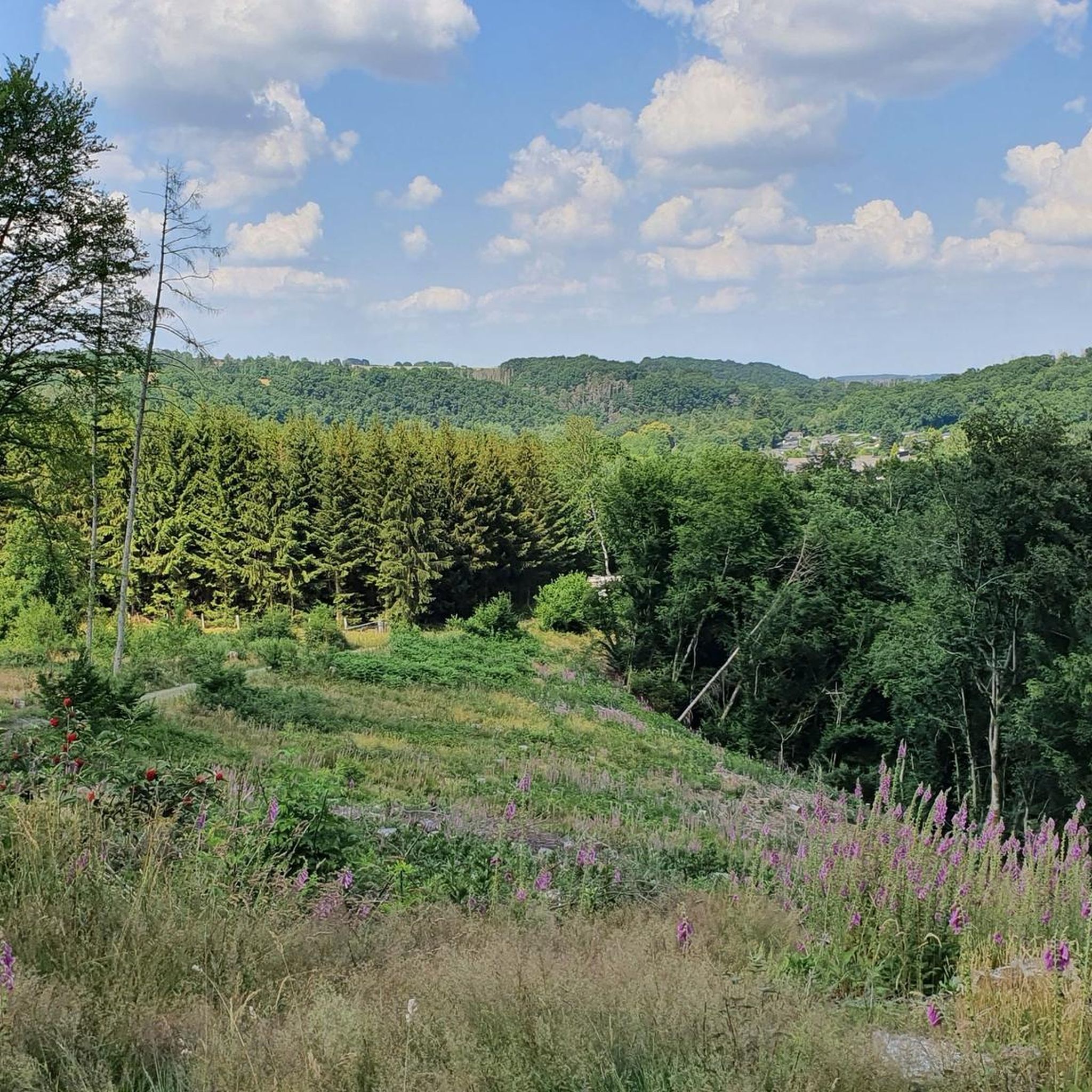
Tips from the Community

The small pizzeria is located directly at the Bürdenbach Bruch bus stop and the sports field
0
0

The Wied Valley and Neustadt (Wied) were once characterized by ore and basalt mining. The 8.7 km long Wäller Tour Basalt and Non-Ferrous Metals, signposted as a GeoRoute of the Westerwald-Lahn-Taunus GEOPARK, takes you on a journey to trace the powerful volcanic forces that once formed the ridge above the Wied Valley and their subsequent commercial exploitation. Further information on the region's geology and mining can be found at: https://wander-heimat.de/basalt-und-buntmetalle/
0
0
Wiedtalbahn, an unfinished railway story. For more information, see Wikipedia: https://de.wikipedia.org/wiki/Wiedtalbahn_(Verkehrsprojekt) A cycle path is also a fairly modern and good idea for its use. Bus and truck traffic would likely be sufficient for an economically viable concept.
0
0

Possibility of rest and view of the tunnel and the castle
1
0

The tunnel addresses the history of mining. The last time I visited the tunnel, there were lots of small bats living there. The history is also explained in detail on site.
0
0


This section of the route is truly a highlight.
0
0
Frequently Asked Questions
How many hiking trails are available around Oberlahr?
Oberlahr offers a diverse network of over 15 hiking trails, ranging from easy strolls to more challenging routes. These trails are primarily located within the scenic Rhein-Westerwald Nature Park.
Are there easy hiking trails suitable for beginners or casual walkers in Oberlahr?
Yes, Oberlahr has several easy hiking options perfect for beginners or those seeking a relaxed walk. For example, the St. Barbara Church Oberlahr – Wayside cross with bench loop from Oberlahr is an easy 4.0-mile (6.4 km) trail that takes you through local landmarks. Additionally, the broader Westerwald region features 'Kleine Wäller' paths, which are low-barrier and ideal for casual strolls.
Can I find challenging hikes in the Oberlahr area?
While most routes directly from Oberlahr are easy to moderate, the region offers options for more challenging experiences. The 'Lahrer Herrlichkeit Circular Hike' in the Rhein-Westerwald Nature Park is a certified difficult route that combines diverse landscapes with cultural highlights, including former mill sites and historical mining areas. For long-distance challenges, the 235 km WesterwaldSteig also passes through the broader region.
What kind of natural landscapes can I expect to see while hiking near Oberlahr?
Hiking near Oberlahr offers a variety of natural landscapes. You'll encounter the serene Wiedtal Valley with the Wied River, lush forest paths, and elevated areas like the Westerwald Heights that provide expansive views, such as the 360-degree panorama from the Rossbacher Häubchen. The Grenzbachtal also offers a natural idyll where you might spot Heck cattle grazing.
Are there any historical sites or attractions to explore along the trails?
Yes, the Oberlahr area is rich in historical and cultural attractions. You can explore the Ehrenstein Castle Ruins and Monastery, where you can even climb a tower for interesting views. The Peterslahr Tunnel, part of a former railway line, is illuminated for easy passage. The charming Apollonia-Lu Chapel is also open to visitors. Some routes also pass through historical mining regions.
Are there family-friendly hiking options in Oberlahr?
Yes, the region caters to families. Beyond the generally easy trails, the broader Westerwald area, particularly around Rengsdorf, features 'Kids Trails' (Zwergenweg) with themes like 'Water fun and Games' and 'Bats in the Laubach Valley,' specifically designed to engage children in nature exploration.
Are dogs allowed on the hiking trails around Oberlahr?
Many hiking trails in the Rhein-Westerwald Nature Park are dog-friendly, allowing you to enjoy the natural beauty with your canine companion. It's always recommended to keep dogs on a leash, especially in nature reserves or near grazing animals like the Heck cattle in Grenzbachtal, and to respect local regulations.
Are there circular hiking routes available?
Yes, circular routes are a popular feature in the Oberlahr area. Many trails, such as the Bridge Over the Mehrbach – Wied Suspension Bridge loop from Oberlahr, are designed as loops, bringing you back to your starting point. The 'Wäller Tours' also offer certified circular and day hikes ranging from 9 to 22 kilometers, showcasing regional diversity.
What is the best time of year to go hiking in Oberlahr?
The best time to hike in Oberlahr largely depends on your preferences. Spring and autumn offer pleasant temperatures and beautiful scenery with blooming flowers or vibrant fall foliage. Summer is also popular, though trails can be busier. Winter hiking is possible, offering a different, quieter experience, especially along the Wiedtal Valley.
Where can I park when visiting the hiking trails in Oberlahr?
Parking is generally available at the starting points of many popular hiking trails and in the villages around Oberlahr. Specific parking information is often provided on individual route descriptions on komoot, or you can look for designated hiking car parks in towns like Oberlahr or Burglahr.
Is it possible to reach hiking trails in Oberlahr using public transport?
While many trails are best accessed by car, some routes in the broader Westerwald region are accessible via public transport connections. For specific trailheads, it's advisable to check local bus schedules to see if they align with your chosen starting point. The region is well-connected within the Rhein-Westerwald Nature Park, but direct access to every trailhead might require planning.
What do other hikers say about the trails in Oberlahr?
The hiking trails around Oberlahr are highly regarded by the komoot community, boasting an average rating of 4.6 stars from over 4500 reviews. Hikers frequently praise the diverse landscapes, the well-maintained paths, and the scenic beauty of the Wiedtal Valley and elevated viewpoints.
Are there any unique natural monuments to discover?
Yes, the region around Oberlahr is home to several natural monuments. The Wied Valley itself is a significant natural feature, and you can also find the Roßbacher Häubchen Basalt Trail, offering geological interest. The Grenzbachtal Nature Reserve is another area of ecological importance.
Most popular routes around Oberlahr
Most popular attractions around Oberlahr

Get inspired with the komoot mobile app


Explore more
Browse the best Hikes in other regions.
