The best walks and hikes around Oberndorf an der Melk
4.6
(1088)
7,060
hikers
347
hikes
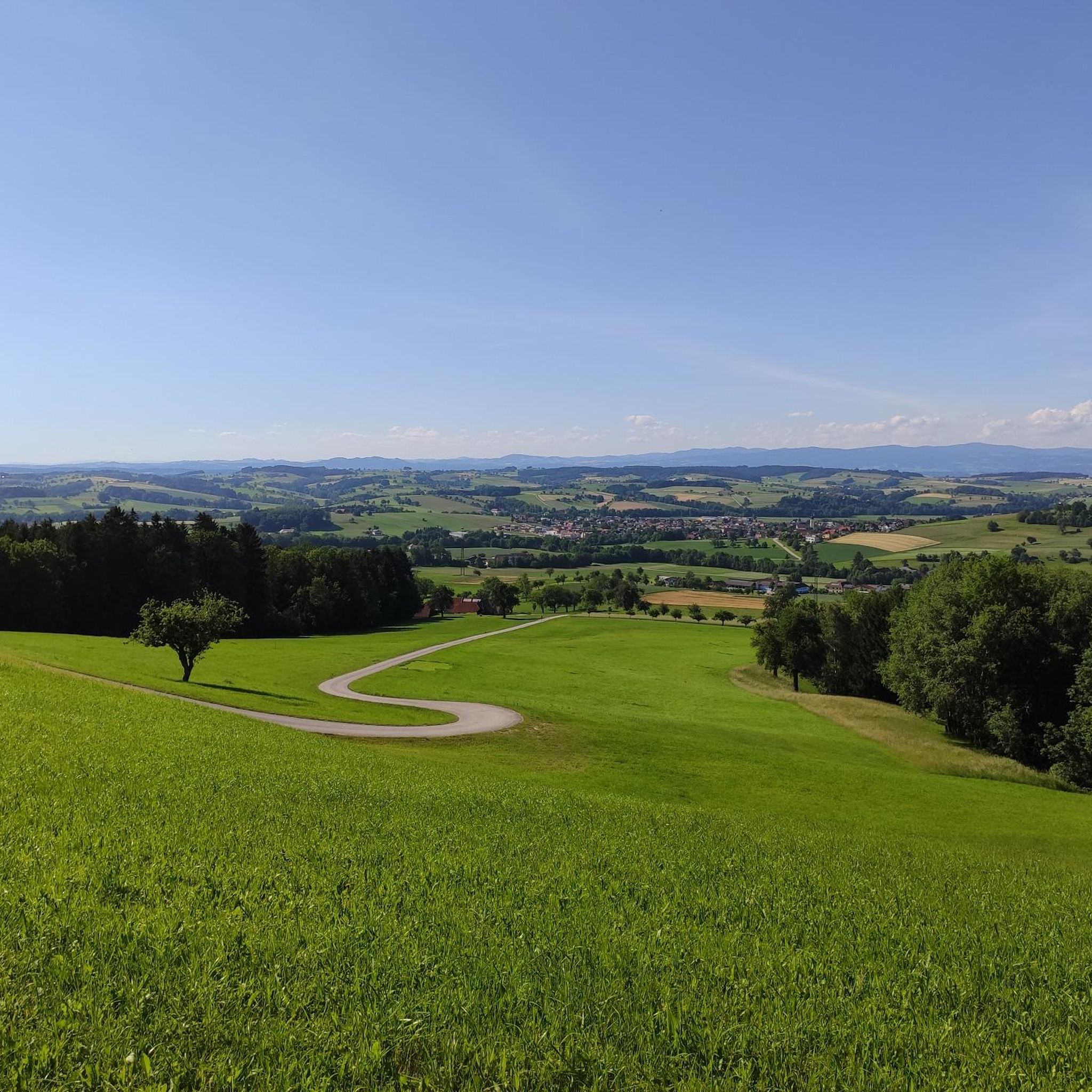
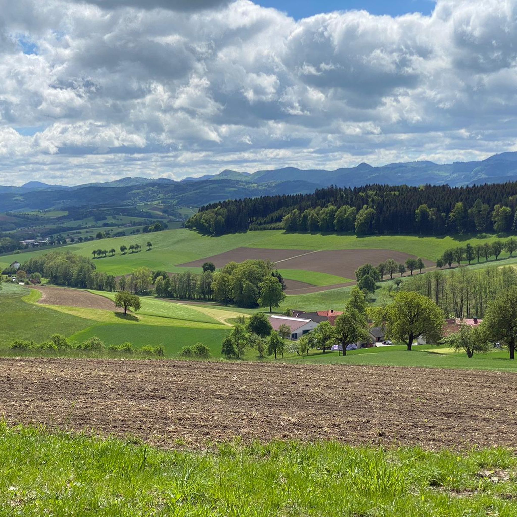
Hiking around Oberndorf an der Melk offers a variety of trails through the Lower Austrian landscape. The region is characterized by rolling hills, dense woodlands, and river valleys, including the notable Erlauf Gorge and the Kendler Waterfall. Elevations are generally moderate, with some routes featuring steeper ascents to viewpoints. The area provides a mix of natural features suitable for various hiking experiences.
Best hiking trails around Oberndorf an der Melk
- The most popular hiking route is Erlauf Gorge – Erlauf…
Last updated: October 22, 2026
4.8
(93)
392
hikers
12.3km
03:25
160m
160m
Moderate hike. Good fitness required. Mostly walkable paths. Sure-footedness required.
4.0
(1)
10
hikers
8.96km
02:40
260m
260m
Moderate hike. Good fitness required. Easily walkable paths.

4.3
(3)
26
hikers
13.0km
04:26
580m
580m
Moderate hike. Good fitness required. Mostly walkable paths. Sure-footedness required.
4.3
(4)
15
hikers
6.76km
01:44
30m
30m
Moderate hike. Mostly walkable paths. Sure-footedness required.
11
hikers
Moderate hike. Good fitness required. Mostly walkable paths. Sure-footedness required.
Get access to more routes and recommendations from other explorers.
Already have an account?
Our route recommendations are based on thousands of hikes, rides, and runs completed by other people on komoot.
Start today with a free account
Your next adventure awaits.
Tips from the Community

Perfect place to take good photos.
0
0

The Erlaufschlucht in Purgstall an der Erlauf is a protected natural monument in Lower Austria's Mostviertel. The river has carved a gorge up to 17 meters deep into conglomerate rock here. The area offers accessible viewing platforms, easy walking paths, as well as the more demanding Fischersteig. Hiking trails and offers Praterweg (circular hiking trail): An approx. 3.8 km long, low-barrier path with two viewing platforms. Fischersteig: An approx. 2 km long, natural path directly on the water, which requires surefootedness.
0
0
While hiking in the rugged Erlauf Gorge, it's hard to imagine that you're in the heart of the market town of Purgstall. A unique natural spectacle and always worth a visit!
0
0
While hiking in the rugged Erlauf Gorge, it's hard to imagine that you're in the heart of the market town of Purgstall. A unique natural spectacle and always worth a visit!
0
0

During our visit, the trail was impassable or only partially accessible due to flooding. Life-threatening during flooding.
0
0
Beautiful gorge - recommended in any weather.
0
0
Paid parking, playground and information boards available.
0
0
Frequently Asked Questions
How many hiking trails are available around Oberndorf an der Melk?
There are over 350 hiking trails in the Oberndorf an der Melk region. This includes a diverse selection, with more than 150 easy routes, nearly 200 moderate options, and a few challenging trails for experienced hikers.
Are there any easy, family-friendly hikes in the area?
Yes, the region offers several easy routes suitable for families. One example is the Erlaufschlucht – Erlauf Gorge loop from Katastralgemeinde Hochrieß, which is 4.5 miles (7.2 km) long with minimal elevation gain, making it a pleasant walk for all ages.
Where can I find hikes that feature waterfalls?
The region is known for its natural beauty, including the Kendler Waterfall. You can experience this on the Kendler Waterfall – I CDs loop from St. Georgen an der Leys, a moderate 5.6-mile (9.0 km) trail that passes directly by this scenic highlight.
Are there any circular hiking routes around Oberndorf an der Melk?
Many of the trails in the area are designed as loops, offering convenient circular routes. For instance, the Erlauf Gorge – Erlauf Gorge loop from Türkensturz is a popular 7.6-mile (12.2 km) circular trail that showcases the impressive Erlauf Gorge.
What kind of landmarks or attractions can I see on the trails?
Hiking around Oberndorf an der Melk allows you to discover various points of interest. You can explore historic sites like Plankenstein Castle or enjoy panoramic views from the Bichlberg Shelter and Viewpoint. Many routes also pass by charming huts like the Grüntalkogel Hut.
Are there any challenging hikes for experienced trekkers?
While most routes are easy to moderate, there are some trails with more significant elevation gain. The Grüntalkogel Hut – Texingtal Ridge Trail loop from Burg Plankenstein, for example, covers 8.0 miles (13.0 km) with over 1,900 feet (579 m) of ascent, offering a good workout.
What do other hikers say about the trails in Oberndorf an der Melk?
The hiking trails in Oberndorf an der Melk are highly regarded by the komoot community, holding an average rating of 4.6 stars from over 950 reviews. Hikers frequently praise the diverse landscapes, including river gorges, waterfalls, and forested ridges, as well as the well-maintained paths.
Are there any hikes that offer great viewpoints?
Yes, the region features several routes with rewarding viewpoints. The Urlingerwarte on Blassenstein – Rainstein Monument loop from St. Georgen an der Leys is a moderate 8.0-mile (12.8 km) trail that includes the Urlingerwarte, known for its scenic vistas over the surrounding landscape.
Can I find hikes with places to stop for refreshments or a meal?
Many routes in the area pass by traditional huts and inns where you can take a break and enjoy local refreshments. The Grüntalkogel Hut is a popular stop, often incorporated into longer hikes, offering a chance to refuel.
What is the typical length of hikes in this region?
Hikes around Oberndorf an der Melk vary in length. You'll find shorter walks of around 4-5 miles (6-8 km) perfect for a few hours, up to longer day hikes stretching 8 miles (13 km) or more. The average duration for many popular trails is between 3 to 5 hours.
Is Oberndorf an der Melk suitable for winter hiking?
While the region is beautiful year-round, winter conditions can vary. Lower elevation trails and well-maintained paths might be accessible, but it's always advisable to check local conditions, weather forecasts, and trail reports before heading out in winter. Some higher or less frequented paths may become challenging due to snow or ice.
Most popular routes around Oberndorf an der Melk
Most popular attractions around Oberndorf an der Melk

Get inspired with the komoot mobile app


Explore more
Browse the best Hikes in other regions.
