The best walks and hikes around Oberoppurg
4.6
(4689)
15,586
hikers
603
hikes
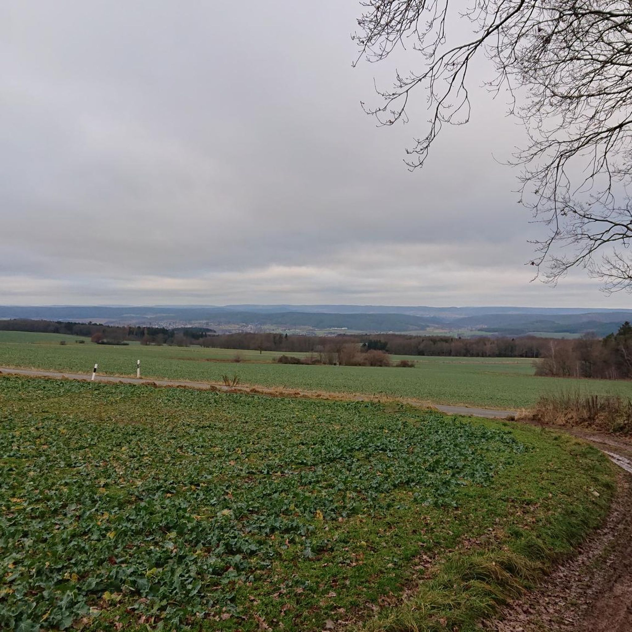
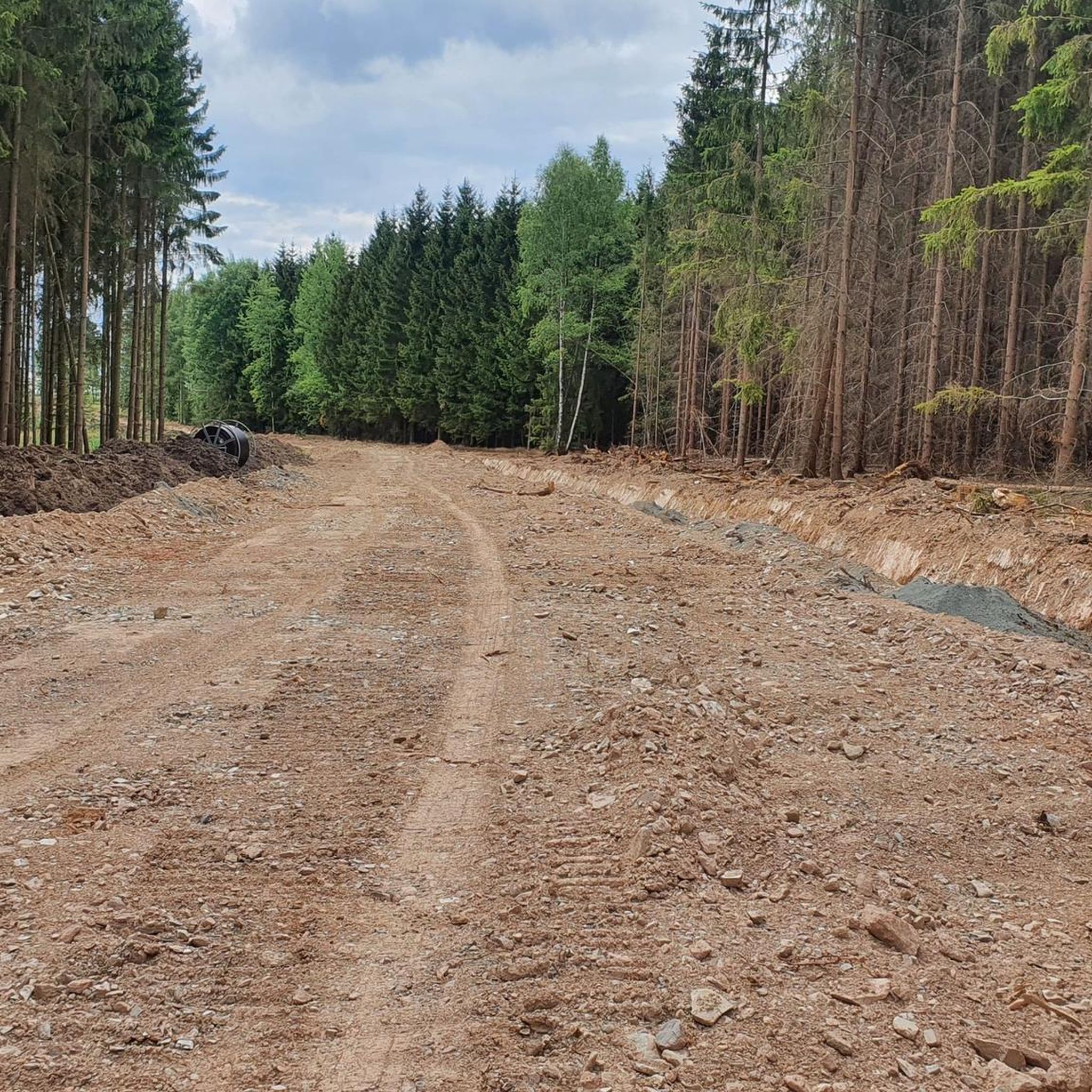
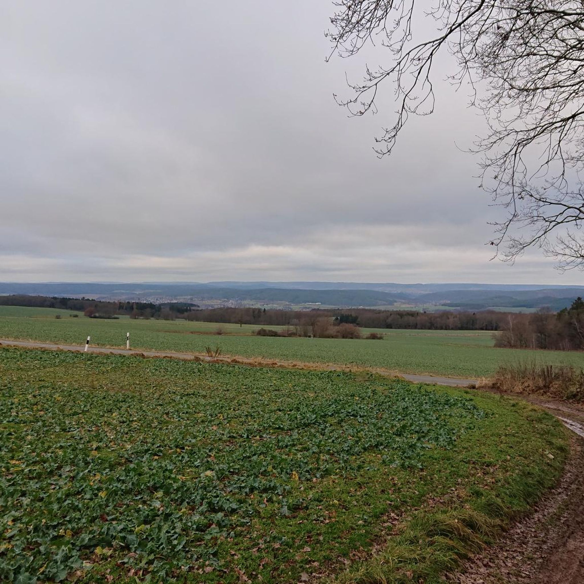
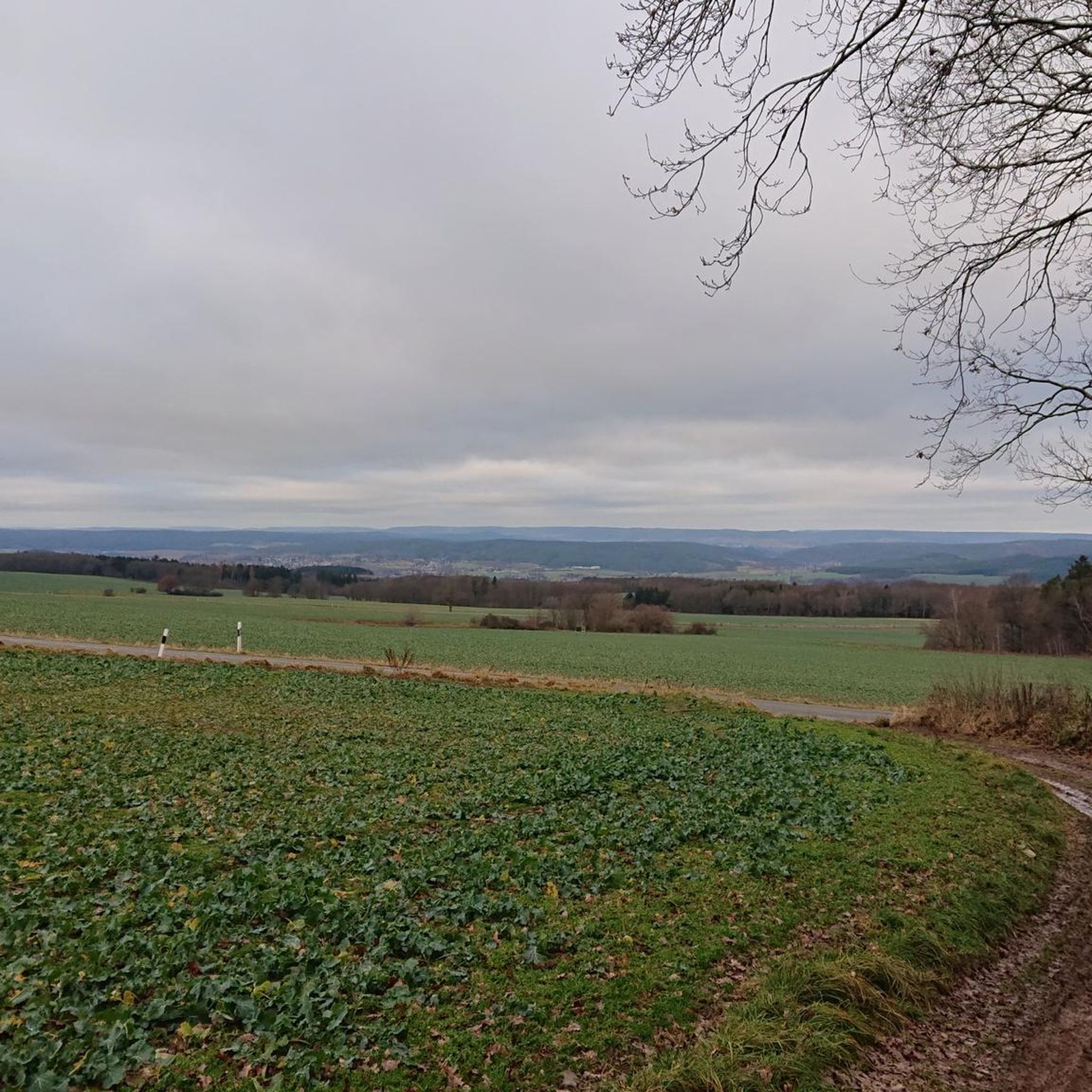
Hiking around Oberoppurg offers a diverse landscape characterized by gentle hills, historic estates, and tranquil water features. The region features a network of paths that traverse open fields, wooded sections, and areas around local ponds and the Orla Valley. These trails provide opportunities to explore both natural scenery and cultural landmarks, such as Oppurg Castle.
Best hiking trails around Oberoppurg
- The most popular hiking route is Oppurg Castle – Rittergut Positz loop from Oppurg, a 4.7 miles (7.6 km)…
Last updated: July 8, 2026
4.4
(18)
70
hikers
7.67km
02:07
130m
130m
Moderate hike. Good fitness required. Easily-accessible paths. Suitable for all skill levels.
4.6
(11)
36
hikers
4.71km
01:18
80m
80m
Easy hike. Great for any fitness level. Easily-accessible paths. Suitable for all skill levels.

Sign up for free
4.1
(8)
18
hikers
11.7km
03:11
170m
170m
Moderate hike. Good fitness required. Easily-accessible paths. Suitable for all skill levels.
4.5
(6)
19
hikers
4.73km
01:19
90m
90m
Easy hike. Great for any fitness level. Easily-accessible paths. Suitable for all skill levels.
4.9
(7)
23
hikers
16.2km
04:13
110m
110m
Moderate hike. Good fitness required. Easily-accessible paths. Suitable for all skill levels.
Get access to more routes and recommendations from other explorers.
Sign up for free
Already have an account?
Our route recommendations are based on thousands of hikes, rides, and runs completed by other people on komoot.
Start today with a free account
Your next adventure awaits.
Login or Signup

Tips from the Community


The tower of the old castle, covered in wild vines, is beautiful to look at. 😄
0
0


Hardly any traffic and therefore very quiet. Highly recommended.
1
0

I really enjoyed the tour. Especially in the morning, when everyone is still asleep and you're alone with nature.
0
0

A very eventful history: https://schloss-oppurg.de/historie/
0
0

My TIP: The region is well described in the following book: GERA & Thuringian Vogtland A HIKING GUIDE & TRAVEL GUIDE for active vacationers, hikers, car and culture tourists with hikes near Gera, in the Thuringian Vogtland and on the Weiße Elster Weg, Thuringian Lutherweg, Zeulenrodaer Talsperrenweg, Weidatalweg, Hohenwarte Stausee Weg and in the Plothener Teichgebiet. Country and people section: Interesting facts about nature, history, culture, language & cuisine Travel section: Description of the cities, villages, regions with their sights Hiking section: 39 hiking tour descriptions with overview maps Travel & hiking guide: GERA & Thuringian Vogtland with Greiz, Saalfeld, Plauen... Publisher REISEBUCH-KARHU ISBN: 978-3-98165-772-2 Information about the book & possibility to order: https://www.reise-karhu.de/reisebuecher/gera-thueringer-vogtland.html
2
0
Frequently Asked Questions
How many hiking trails are available in Oberoppurg?
There are over 590 hiking trails around Oberoppurg, offering a wide range of options from easy strolls to more challenging routes. Nearly half of these, 295 trails, are classified as easy.
Are there easy hiking trails suitable for beginners or families in Oberoppurg?
Yes, Oberoppurg offers many easy trails perfect for beginners or families. For example, the Schloss Oppurg – Oppurg Castle loop from Oppurg is an easy 2.9-mile (4.7 km) path that explores the immediate surroundings of the historic castle.
What kind of scenery can I expect on hikes around Oberoppurg?
Hiking around Oberoppurg offers diverse scenery, characterized by gentle hills, historic estates, and tranquil water features. Trails traverse open fields, wooded sections, and areas around local ponds and the scenic Orla Valley. You'll encounter both natural beauty and cultural landmarks.
Are there any circular hiking routes in Oberoppurg?
Yes, many routes in Oberoppurg are circular, allowing you to start and end at the same point. A popular moderate option is the Oppurg Castle – Rittergut Positz loop from Oppurg, which is 4.7 miles (7.6 km) long and connects two historic estates.
What are some notable attractions or landmarks to see while hiking in Oberoppurg?
The region is rich in historical sites and natural beauty. You can explore Oppurg Castle, visit the historic Duke's Seat, or discover the tranquil Plothen Ponds. Many trails incorporate these points of interest into their routes.
Are there challenging hikes for experienced hikers in Oberoppurg?
While Oberoppurg is known for its gentle hills, there are 21 trails classified as difficult for those seeking a greater challenge. These routes often feature longer distances or more varied terrain, providing a good workout for experienced hikers.
What do other hikers say about the trails in Oberoppurg?
The trails in Oberoppurg are highly rated by the komoot community, with an average score of 4.6 stars from over 4,500 reviews. Hikers often praise the well-maintained paths, the blend of natural and historical sights, and the peaceful atmosphere of the Orla Valley.
Is parking available at the trailheads in Oberoppurg?
While specific parking details vary by trailhead, many routes around Oberoppurg, especially those starting near villages or popular attractions like Oppurg Castle, typically offer designated parking areas. It's advisable to check individual route descriptions on komoot for specific parking information.
Can I reach hiking trails in Oberoppurg using public transport?
Public transport options in rural areas like Oberoppurg can be limited. While some villages may have bus connections, direct access to all trailheads via public transport might not be feasible. Planning your route in advance and checking local transport schedules is recommended.
Are there any trails that offer views of the Orla Valley?
Yes, the Orla Valley is a prominent feature of the region. The Oppurger Pond – View of the Orla Valley loop from Oppurg is an easy 4.2-mile (6.8 km) route that specifically highlights views of the valley and the tranquil Oppurger Pond.
What is the best time of year to go hiking in Oberoppurg?
The best time to hike in Oberoppurg is generally from spring to autumn, when the weather is mild and the landscape is vibrant. Spring brings blooming flowers, while autumn offers beautiful foliage. Summer is also pleasant, though it can be warmer. Winter hiking is possible, but some trails might be icy or muddy.
Are there any longer, moderate hikes available?
Absolutely. For a longer moderate hike, consider the Schloss Oppurg – Rittergut Positz loop from Oppurg. This 7.3-mile (11.7 km) trail leads through a mix of open countryside and wooded areas, typically taking around 3 hours 11 minutes to complete.
Most popular attractions around Oberoppurg

Get inspired with the komoot mobile app


Explore more
Browse the best Hikes in other regions.
