The best walks and hikes around Oepfershausen
4.6
(2191)
7,109
hikers
464
hikes
Hiking trails around Oepfershausen are situated within the Rhön Biosphere Reserve, offering diverse landscapes characterized by rolling hills, dense woodlands, and unique natural features. The region features elevations up to 701 meters, providing panoramic views over the Rhön mountains and towards the Thuringian Forest. Hikers can explore paths along the Werra Valley and discover geological formations such as limestone cliffs and a distinctive karst sinkhole lake. The area's well-maintained trail networks cater to various fitness levels.
Best hiking trails around…
Last updated: October 21, 2026
4.7
(17)
59
hikers
9.92km
02:58
310m
320m
Moderate hike. Good fitness required. Easily walkable paths.
4.7
(6)
18
hikers
5.10km
01:25
90m
90m
Easy hike. Easily walkable paths.

5.0
(6)
18
hikers
5.10km
01:24
90m
80m
Easy hike. Easily walkable paths.
5.0
(2)
5
hikers
5.26km
01:32
140m
140m
Easy hike. Easily walkable paths.
5.0
(1)
6
hikers
6.21km
01:40
80m
80m
Easy hike. Easily walkable paths.
Get access to more routes and recommendations from other explorers.
Already have an account?
Our route recommendations are based on thousands of hikes, rides, and runs completed by other people on komoot.
Start today with a free account
Your next adventure awaits.
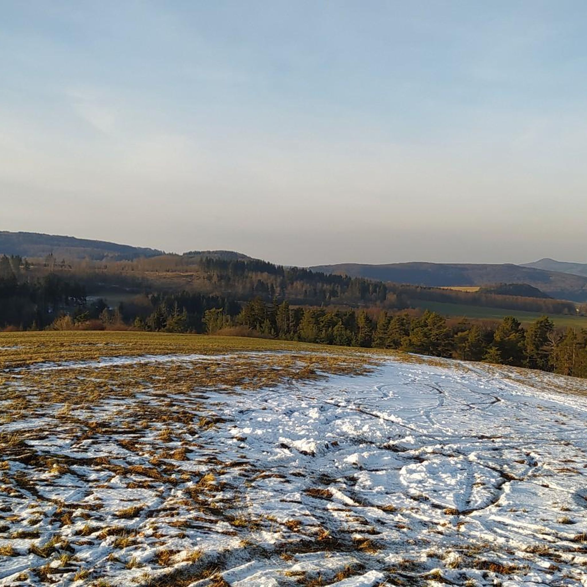
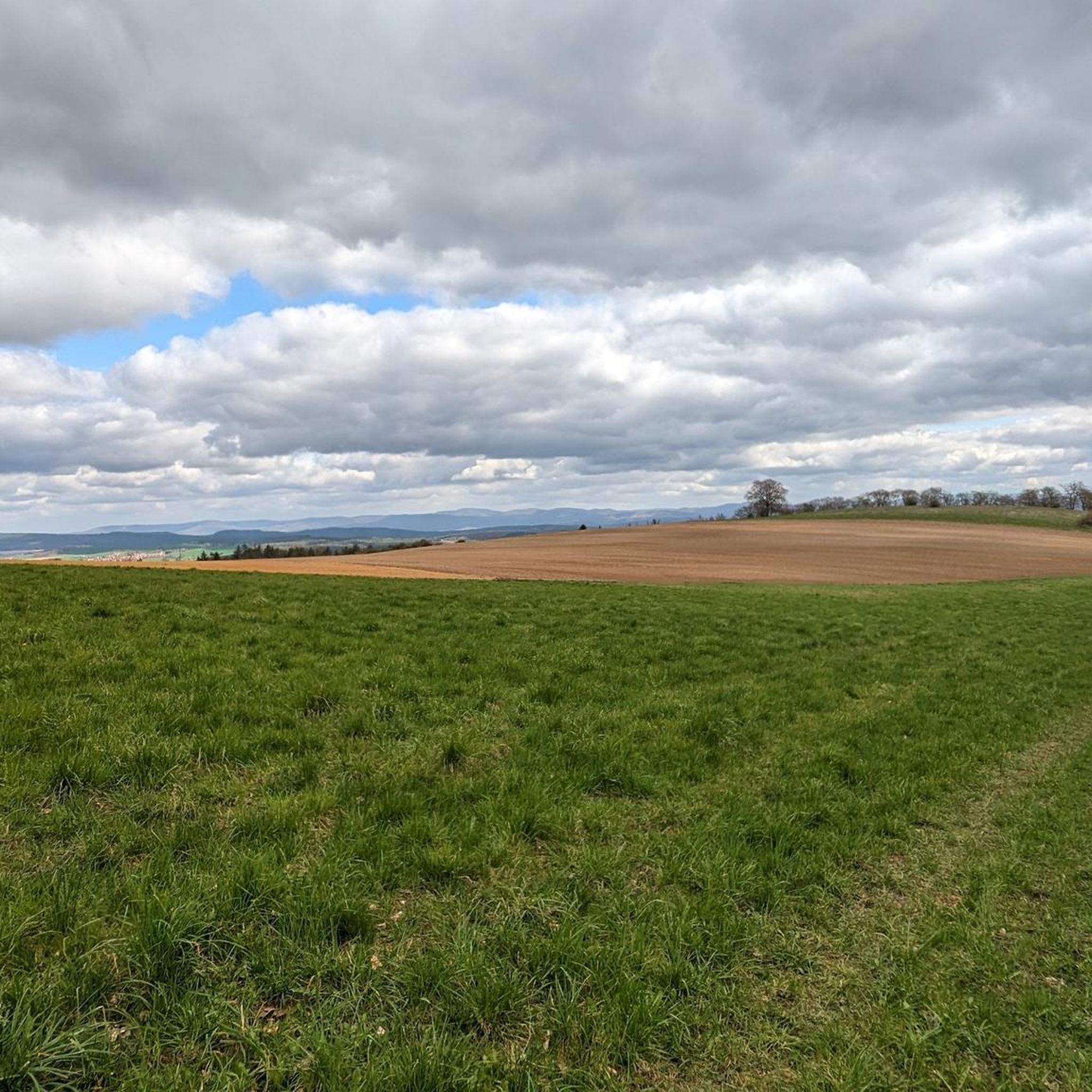
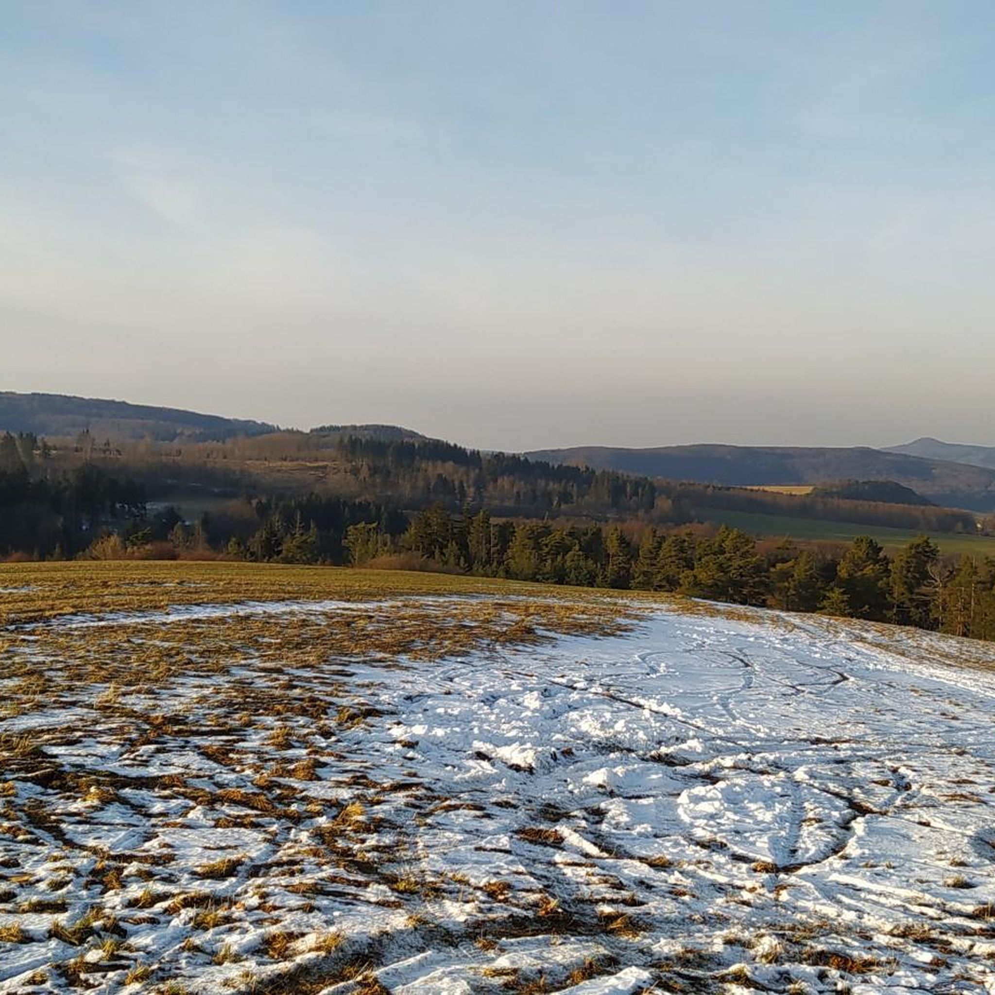
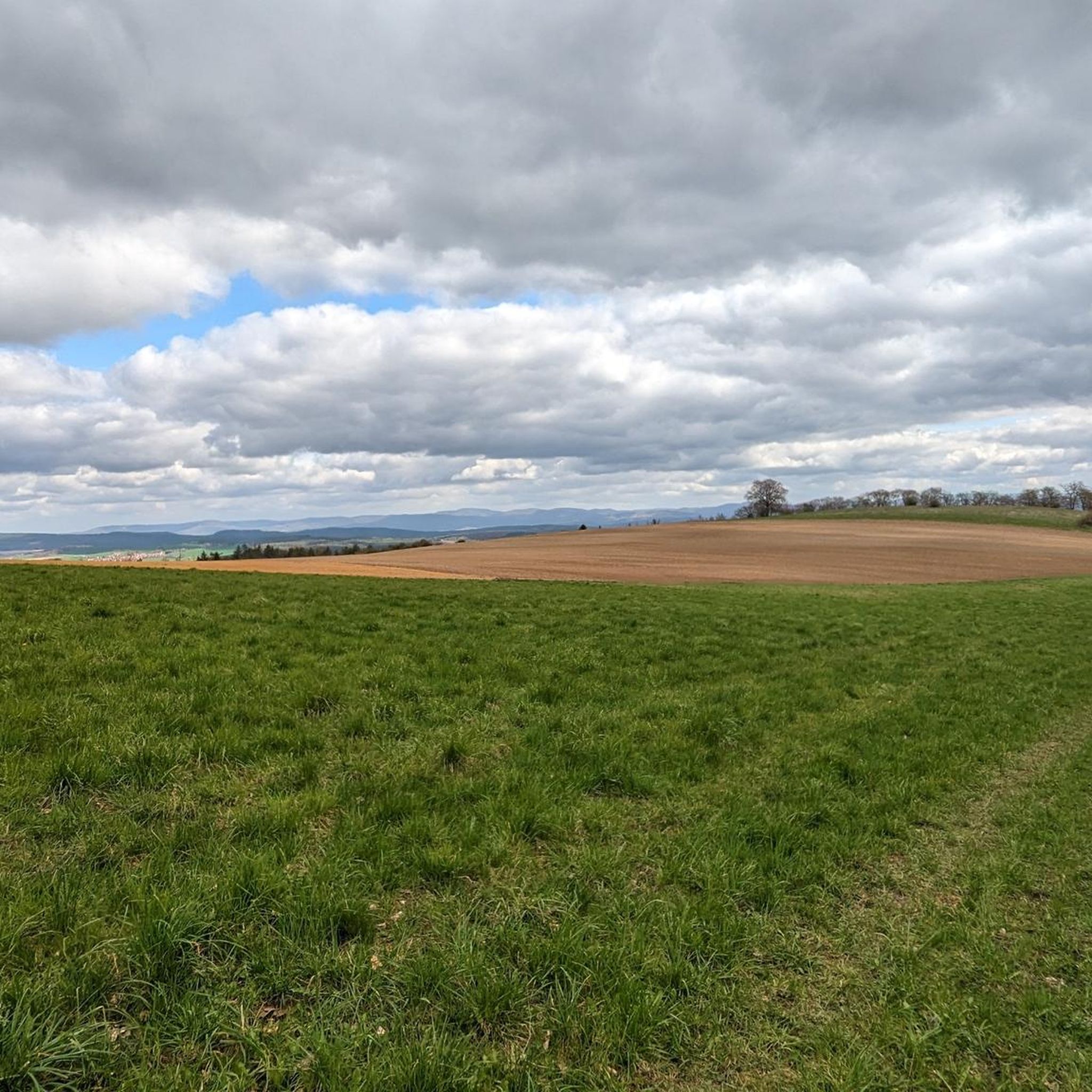

Tips from the Community

Summit cross on Hahnberg with a beautiful panorama.
0
0

We were lucky and the hut was open. Sausages, cakes, and coffee are available here at great prices.
2
0
A nice stamp point not far from the large beeches.
5
0
The right season here is May
2
0
The right season here is May.
3
0
The effort is worth it, a great stamp point.
5
0

Open from May to October, always Sundays from 10 am to 5 pm. During my visit, there was a huge selection of cakes ♥️. But also roast meat with potato salad, bratwurst etc. Prices are really cheap. (As of: May 2026)
1
0

Frequently Asked Questions
What kind of hiking trails can I find around Oepfershausen?
Oepfershausen, located within the Rhön Biosphere Reserve, offers a diverse range of hiking trails. You'll find paths through rolling hills, dense woodlands, and along the scenic Werra Valley. The area features elevations up to 701 meters, providing varied terrain. There are over 450 routes available, with 192 easy, 239 moderate, and 21 more challenging options, catering to various fitness levels.
Are there family-friendly hiking trails in Oepfershausen?
Yes, Oepfershausen offers several options suitable for families. The Muschelkalk Cliffs loop from Friedelshausen is an easy 5.3 km trail that can be completed in about 1 hour 30 minutes, featuring easily accessible paths. Additionally, the Fischbach Witches' Trail (Hexenpfad Fischbach) in the Rhön is a certified family hiking trail, combining scenic views with environmental education through interactive stations.
Can I bring my dog on the hiking trails around Oepfershausen?
Most hiking trails in the Oepfershausen region are dog-friendly, allowing you to enjoy the natural beauty with your canine companion. It's always recommended to keep dogs on a leash, especially in nature reserves or near livestock, and to carry water for them. Please be mindful of local regulations and other hikers.
Are there many circular hiking routes available?
Yes, many of the hiking routes around Oepfershausen are circular, offering convenient starting and ending points. For example, the Hahnberg (687 m) – Humpfershäuser Hut loop from Kaltenlengsfeld is an easy 5.1 km circular route. The Rhön-Rundweg 1 Oepfershausen is another notable 8.6 km circular route that leads through the Oberwald and offers views from Amönenhof.
What kind of views and natural features can I expect on the trails?
Hikers can enjoy panoramic views over the Rhön mountains and towards the Thuringian Forest from various summits like Hahnberg (687 m) and Umpfen (701 m). The Hutebuchen Viewpoint – Humpfershäuser Hut loop from Kaltenlengsfeld offers excellent vistas. You'll also encounter unique natural features such as the distinctive karst sinkhole lake, Bernshäuser Kutte, and geological formations like limestone cliffs.
Where can I find parking for hiking trails in Oepfershausen?
While specific parking lots for each trail are not detailed, Oepfershausen and its surrounding villages typically offer designated parking areas for hikers, especially near popular trailheads or village centers. Look for signs indicating 'Wanderparkplatz' (hiker parking) upon arrival in the area.
Is Oepfershausen accessible by public transport for hikers?
Oepfershausen is part of the regional public transport network in Thuringia. While direct access to every trailhead might require some planning, local bus services connect Oepfershausen with larger towns like Meiningen, which has train connections. It's advisable to check current bus schedules for the most up-to-date information on reaching specific starting points.
When is the best time of year to go hiking in Oepfershausen?
The hiking season in Oepfershausen generally runs from spring to autumn. Spring offers blooming landscapes, while summer provides warm weather for longer excursions. Autumn is particularly beautiful with vibrant fall foliage. Winter hiking is also possible, especially on cleared paths, but requires appropriate gear and caution due to potentially icy conditions.
What is the typical terrain like on the hiking trails?
The terrain around Oepfershausen is varied, reflecting its location in the Rhön Biosphere Reserve. You can expect a mix of well-maintained forest paths, open field trails, and some steeper ascents to mountain peaks. Paths can range from easily navigable to those requiring good basic fitness and sure-footedness, especially on routes that traverse hills or limestone formations.
What do other hikers enjoy the most about hiking in Oepfershausen?
The hiking trails around Oepfershausen are highly rated by the komoot community, with an average score of 4.6 stars from over 1,700 reviews. Hikers frequently praise the diverse landscapes, the well-maintained trail networks, and the panoramic views from various summits. The peaceful atmosphere of the Rhön Biosphere Reserve and the opportunity to explore unique natural features like the Bernshäuser Kutte are also often highlighted.
Are there any historical or cultural landmarks along the trails?
While the region is primarily known for its natural beauty, you can find historical points of interest nearby. For instance, the Rest Area at Altes Backhaus – Gertswiesenkopf Shelter loop from Oepfershausen passes by a shelter, offering a glimpse into local infrastructure. Additionally, nearby attractions include several castles such as Kirchenburg Walldorf and Maienluft Castle Ruins, which can be explored as part of a broader visit to the area.
Are there any easy routes for beginners or short walks?
Yes, Oepfershausen offers several easy routes perfect for beginners or those looking for a shorter, relaxed walk. The Hahnberg – Hahnberg Summit Cross loop from Kaltenlengsfeld is an easy 6.2 km trail. Many of the trails are designed to be accessible, allowing everyone to enjoy the natural surroundings without requiring extensive hiking experience.
Most popular routes around Oepfershausen
Most popular attractions around Oepfershausen

Get inspired with the komoot mobile app


Explore more
Browse the best Hikes in other regions.
