The best walks and hikes around Oeschenbach
4.5
(908)
4,913
hikers
284
hikes
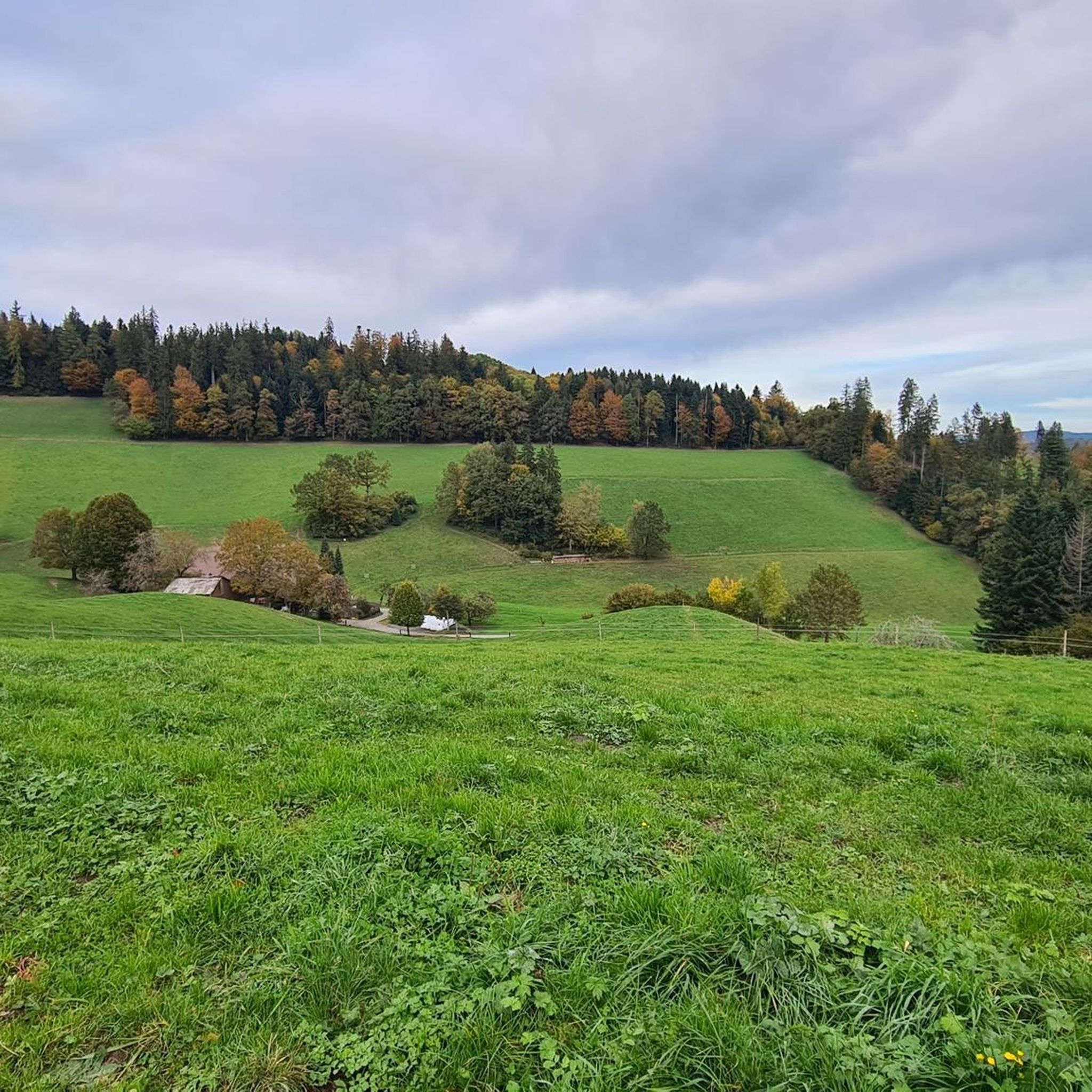
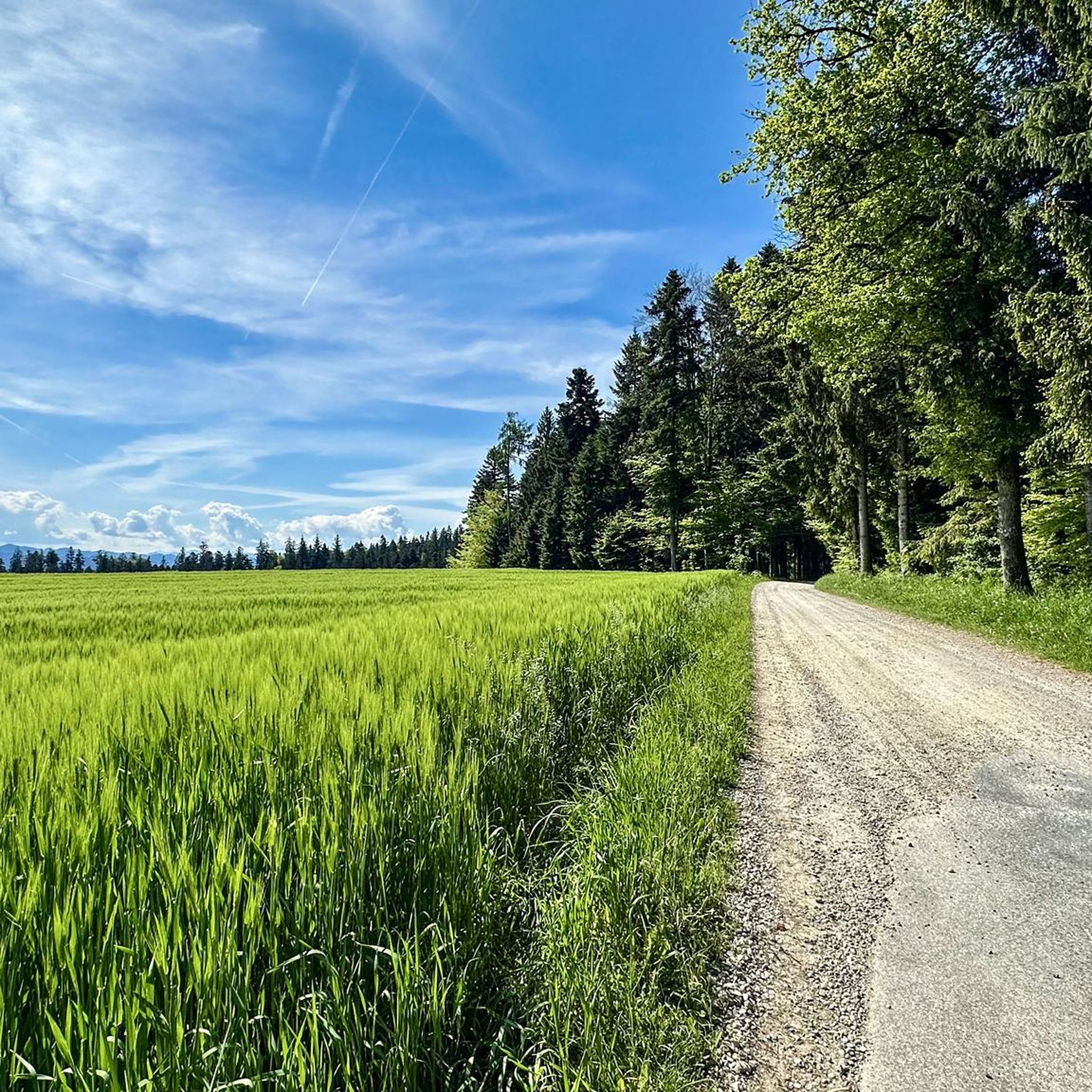
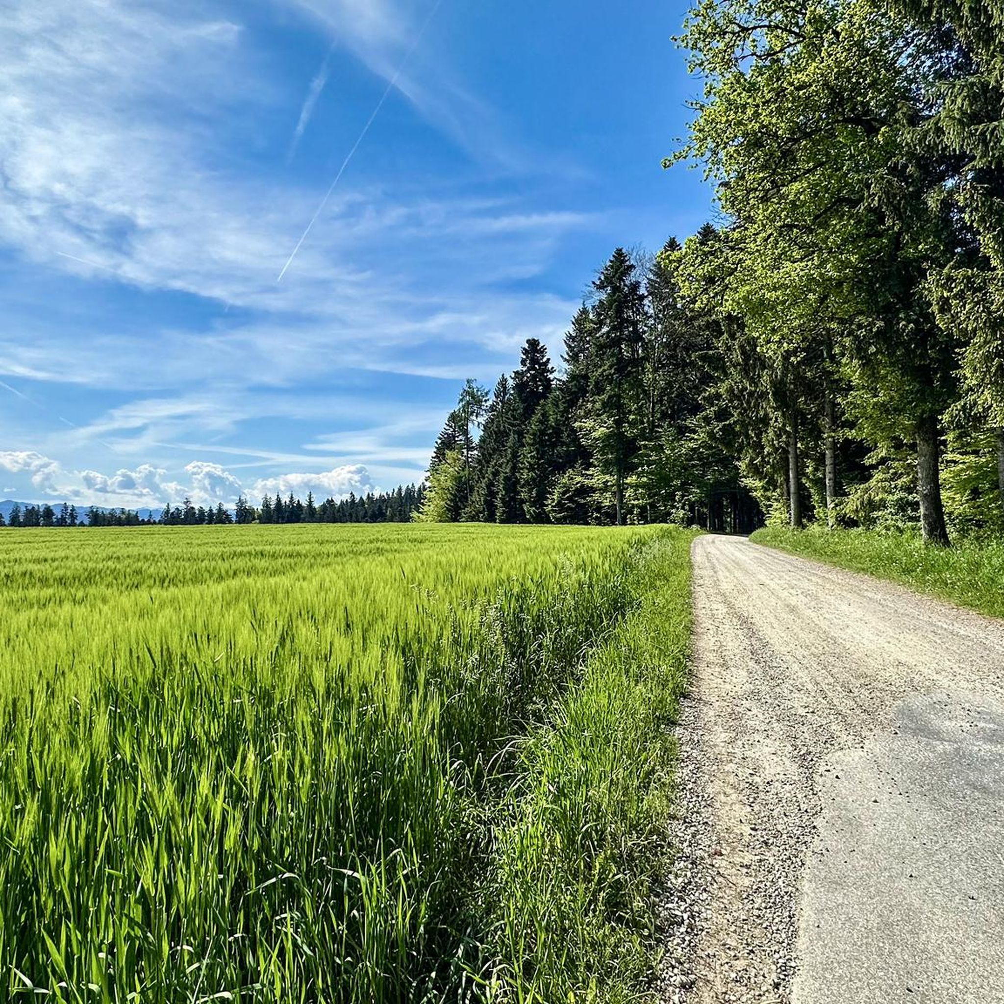
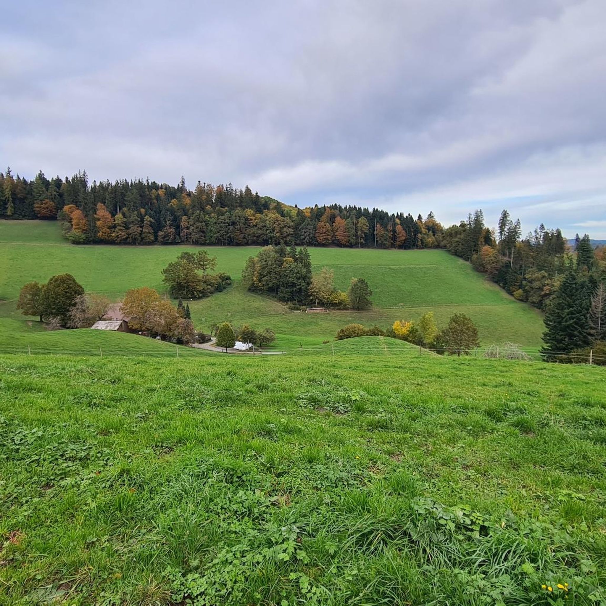
Hiking around Oeschenbach offers exploration through a rural landscape characterized by 30.0% heavy forests and 64.4% agricultural land. The municipality is situated in a side valley of the Langeten valley, featuring varied topography and flowing water. This environment provides a network of paths and trails suitable for diverse hiking experiences.
Best hiking trails around Oeschenbach
- The most popular hiking route is Mutzbach Stream – Mutzbach Waterfall loop from Brechershäusern, a 6.1 miles (9.8 km) trail that takes 2 hours…
Last updated: July 10, 2026
4.6
(66)
238
hikers
9.77km
02:50
230m
240m
Moderate hike. Good fitness required. Easily-accessible paths. Suitable for all skill levels.
4.4
(16)
37
hikers
6.99km
02:08
240m
240m
Moderate hike. Good fitness required. Easily-accessible paths. Suitable for all skill levels.

Sign up for free
4.8
(10)
26
hikers
11.2km
03:25
370m
380m
Moderate hike. Good fitness required. Easily-accessible paths. Suitable for all skill levels.
4.1
(8)
30
hikers
7.16km
02:00
140m
140m
Moderate hike. Good fitness required. Easily-accessible paths. Suitable for all skill levels.
4.0
(5)
20
hikers
11.2km
03:13
290m
290m
Moderate hike. Good fitness required. Easily-accessible paths. Suitable for all skill levels.
Get access to more routes and recommendations from other explorers.
Sign up for free
Already have an account?
Our route recommendations are based on thousands of hikes, rides, and runs completed by other people on komoot.
Start today with a free account
Your next adventure awaits.
Login or Signup
Tips from the Community

With good visibility, you can see Säntis, Wildhuser Schafberg and into the Bernese Oberland. Always worth a visit!
0
0
Very pleasant hosts, always worth a visit!
0
0

Beautiful quiet place, but only reachable on foot
0
0


The Mutzbachhöhle was washed into the sandstone by the stream over the millennia. Especially the bare rock at the bottom is perfect for walking around in without getting your feet too wet.
0
0
Beautiful waterfall with a wide but shallow basin. Perfect place to cool off a bit and listen to the rushing sound.
0
0
Wonderful, flat river that also invites you to walk in it.
0
0
Impressive waterfall in a sandstone rock basin.
0
0
Frequently Asked Questions
How many hiking trails are available in Oeschenbach?
Oeschenbach offers a wide variety of hiking experiences with nearly 300 routes recorded on komoot. These range from leisurely strolls through agricultural fields to more challenging treks within the extensive forested areas.
Are there easy hiking trails suitable for beginners or families with children?
Yes, Oeschenbach has over 130 easy hiking routes, perfect for beginners or families. These trails often traverse the gentle agricultural landscapes and offer accessible paths through the side valleys, allowing for a pleasant outdoor experience for all ages.
Can I find circular hiking routes in Oeschenbach?
Many of the hiking routes in Oeschenbach are designed as circular walks, allowing you to start and end at the same point. An example is the Mutzbach Waterfall – Mutzbach Stream loop from Luftröhre, which offers a scenic round trip.
Are there any hikes that feature waterfalls in Oeschenbach?
Yes, the Mutzbach Waterfall is a notable natural feature in the area. You can experience it on routes like the Mutzbach Stream – Mutzbach Waterfall loop from Brechershäusern, which leads directly to this scenic spot.
What kind of landscape can I expect on hikes around Oeschenbach?
Hikes around Oeschenbach immerse you in a rural landscape characterized by extensive forests, covering about 30% of the area, and vast agricultural land, making up over 64%. The municipality is nestled in a side valley of the Langeten valley, providing varied topography with flowing water and picturesque views.
Are hiking trails in Oeschenbach dog-friendly?
Generally, the rural and natural trails in Oeschenbach are suitable for dogs. Given the prevalence of forests and agricultural land, many paths offer ample space for dogs to enjoy. However, always ensure dogs are kept on a leash where required, especially near livestock or protected areas.
What are some interesting places to explore or landmarks near the hiking trails?
Beyond the trails, you can explore several interesting attractions. Consider visiting the Emmentaler Show Dairy, or discover historical sites like Burgdorf Castle. For natural wonders, there are also various caves around Oeschenbach, including the Gisnauflüe Ruins and Caves.
What do other hikers say about the trails in Oeschenbach?
The hiking routes in Oeschenbach are highly regarded by the komoot community, boasting an average rating of 4.5 stars from over 800 reviews. Hikers frequently praise the well-maintained paths, the peaceful natural surroundings, and the diverse landscapes that offer something for every preference.
Are there any challenging hikes for experienced hikers in Oeschenbach?
While Oeschenbach is known for its moderate and easy trails, there are also 11 more difficult routes available for experienced hikers seeking a greater challenge. These trails often feature steeper ascents and descents through the forested hills, providing a more strenuous workout.
What is the best season for hiking in Oeschenbach?
Oeschenbach offers enjoyable hiking experiences throughout the year. Spring brings lush greenery and blooming wildflowers, while summer provides warm weather for long days on the trails. Autumn is particularly scenic with vibrant fall foliage, and even winter hiking can be beautiful, especially on cleared paths through the snowy landscape.
Is there public transport access to hiking trailheads in Oeschenbach?
As a rural municipality, public transport options in Oeschenbach might be less frequent than in larger towns. It's advisable to check local bus schedules or regional train connections to nearby villages, which may offer access points to various hiking routes. Planning your route in advance with public transport in mind is recommended.
Where can I find parking for hiking trails in Oeschenbach?
Parking for hiking trails in Oeschenbach is typically available in designated areas within the village or at the start of popular trailheads. Given the rural nature, you may find small parking lots near community centers, local restaurants, or specific trail entry points. Always look for official parking signs and respect private property.
Are there any hikes with great views in Oeschenbach?
Yes, the varied topography of Oeschenbach, with its side valleys and forested hills, offers several points with excellent views. Routes that climb higher into the Emmental Hills, such as the Romantic Hotel Bären – Emmental Hills Landscape loop from Dürrenroth, often provide panoramic vistas over the agricultural land and surrounding natural beauty.
Most popular routes around Oeschenbach
Most popular attractions around Oeschenbach

Get inspired with the komoot mobile app


Explore more
Browse the best Hikes in other regions.
