The best walks and hikes around Oettersdorf
4.6
(5146)
16,177
hikers
559
hikes
Hiking trails around Oettersdorf, located in Thuringia, offer a range of outdoor experiences. The region features varied terrain with moderate elevation changes, suitable for different hiking abilities. While specific prominent natural landmarks are not widely documented, the area provides access to local parks, reservoirs, and natural surroundings. The trails primarily consist of paths through woodlands and open areas, connecting small towns and natural features.
Best hiking trails around Oettersdorf
- The most popular hiking route is View of Schleiz – Fallow…
Last updated: July 8, 2026
5.0
(40)
49
hikers
4.80km
01:15
30m
30m
Easy hike. Great for any fitness level. Easily-accessible paths. Suitable for all skill levels.
4.6
(15)
19
hikers
6.25km
01:40
60m
70m
Easy hike. Great for any fitness level. Easily-accessible paths. Suitable for all skill levels.

Sign up for free
5.0
(2)
22
hikers
6.70km
01:45
40m
40m
Easy hike. Great for any fitness level. Easily-accessible paths. Suitable for all skill levels.
4.8
(9)
14
hikers
5.91km
01:34
60m
60m
Easy hike. Great for any fitness level. Easily-accessible paths. Suitable for all skill levels.
5.0
(7)
16
hikers
6.29km
01:39
50m
50m
Easy hike. Great for any fitness level. Easily-accessible paths. Suitable for all skill levels.
Get access to more routes and recommendations from other explorers.
Sign up for free
Already have an account?
Our route recommendations are based on thousands of hikes, rides, and runs completed by other people on komoot.
Start today with a free account
Your next adventure awaits.
Login or Signup

Tips from the Community

Beautiful playground that is open all year round. The outdoor pool is also highly recommended in summer.
7
0

Country inn with good cuisine
0
0
Its origins remain a great mystery. No written evidence from the Middle Ages exists, except that it once bore the name "St. Gehilf" (St. Assistant). This referred to the hospital opposite, where lepers were housed.
17
0
Closed on Monday and Wednesday, but otherwise always a good economy
0
0

Here you can find good handmade food,
0
0

A beautiful natural stone bridge. It spans the small river Wisenta and is located directly on the weir pond
4
0
A signpost with 24 leading directions. The furthest distance to Ruppichteroth is 308 km according to the signpost. It's very rare to see one of this type.
4
0
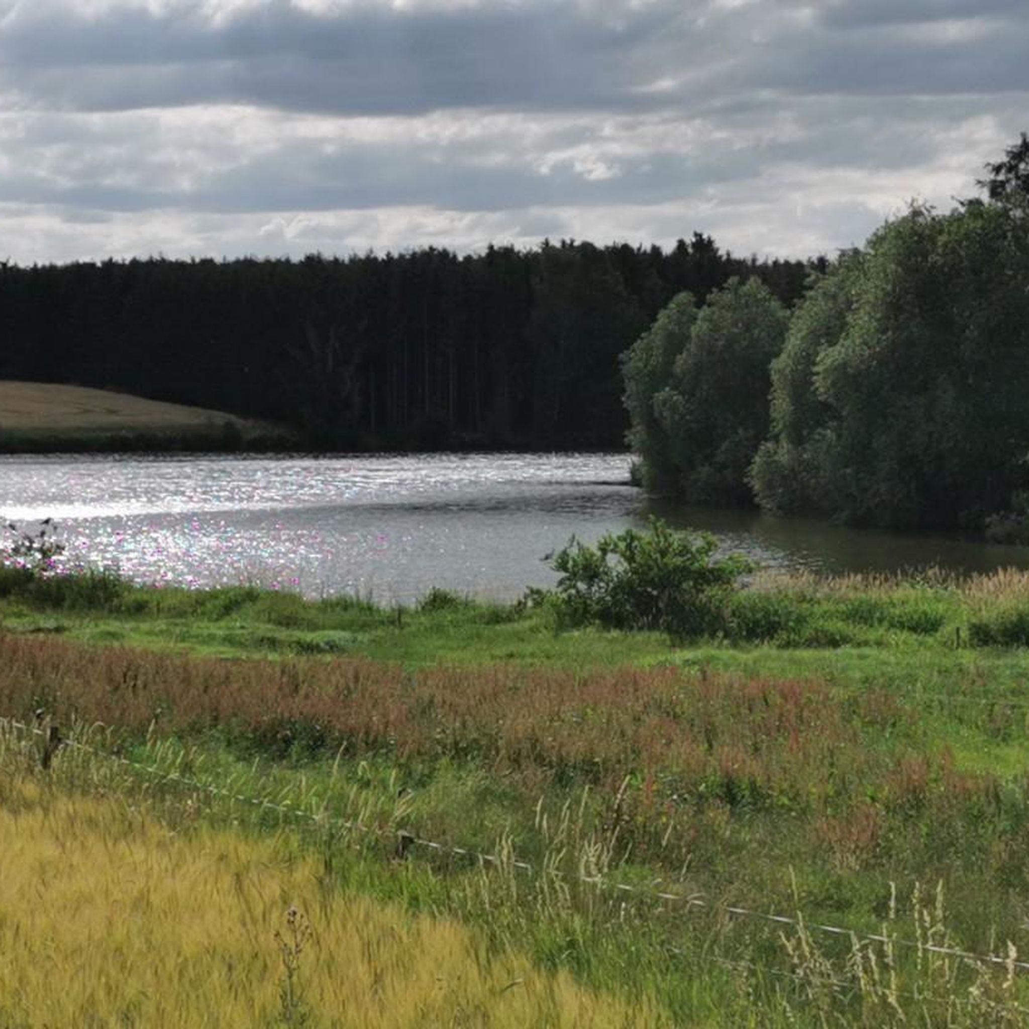
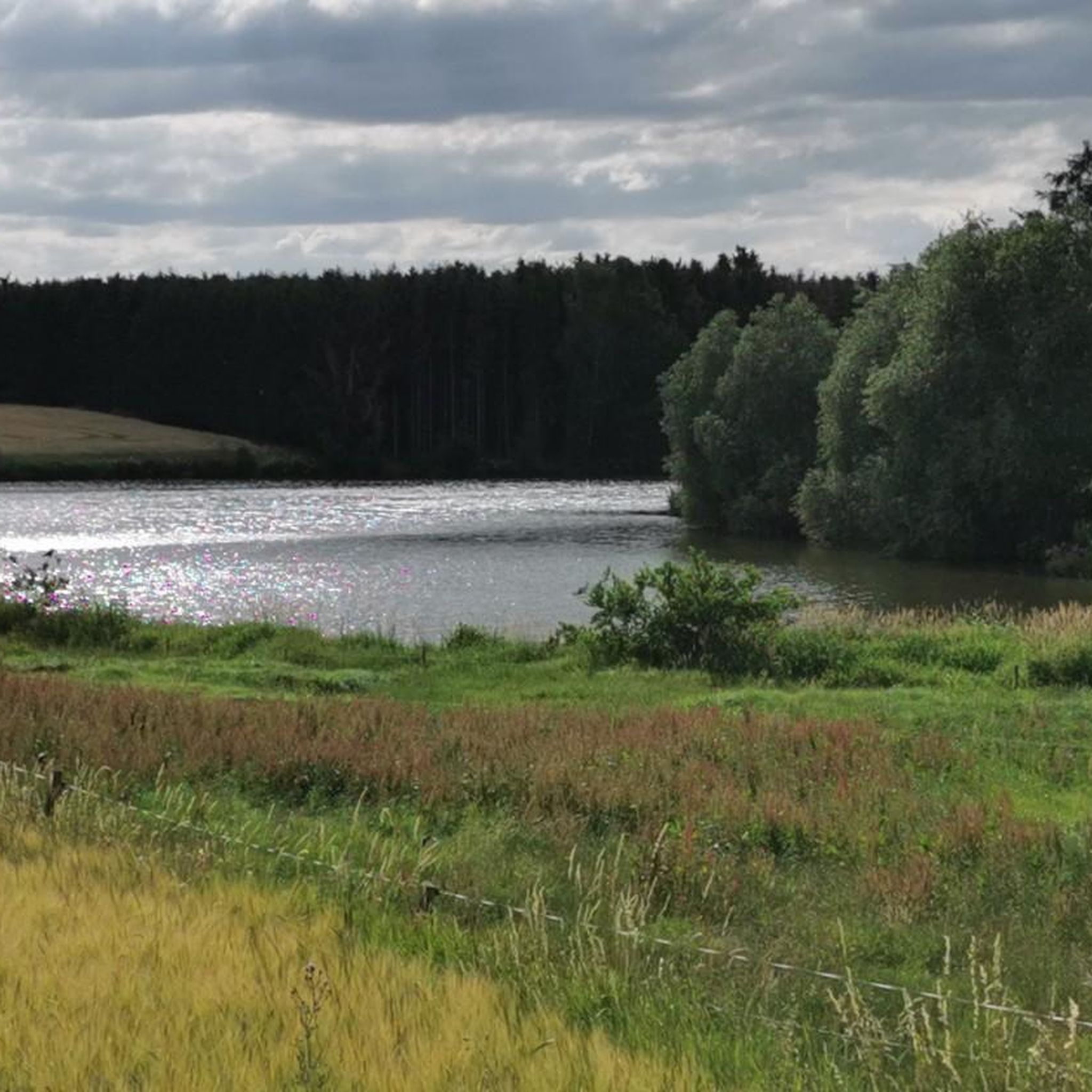
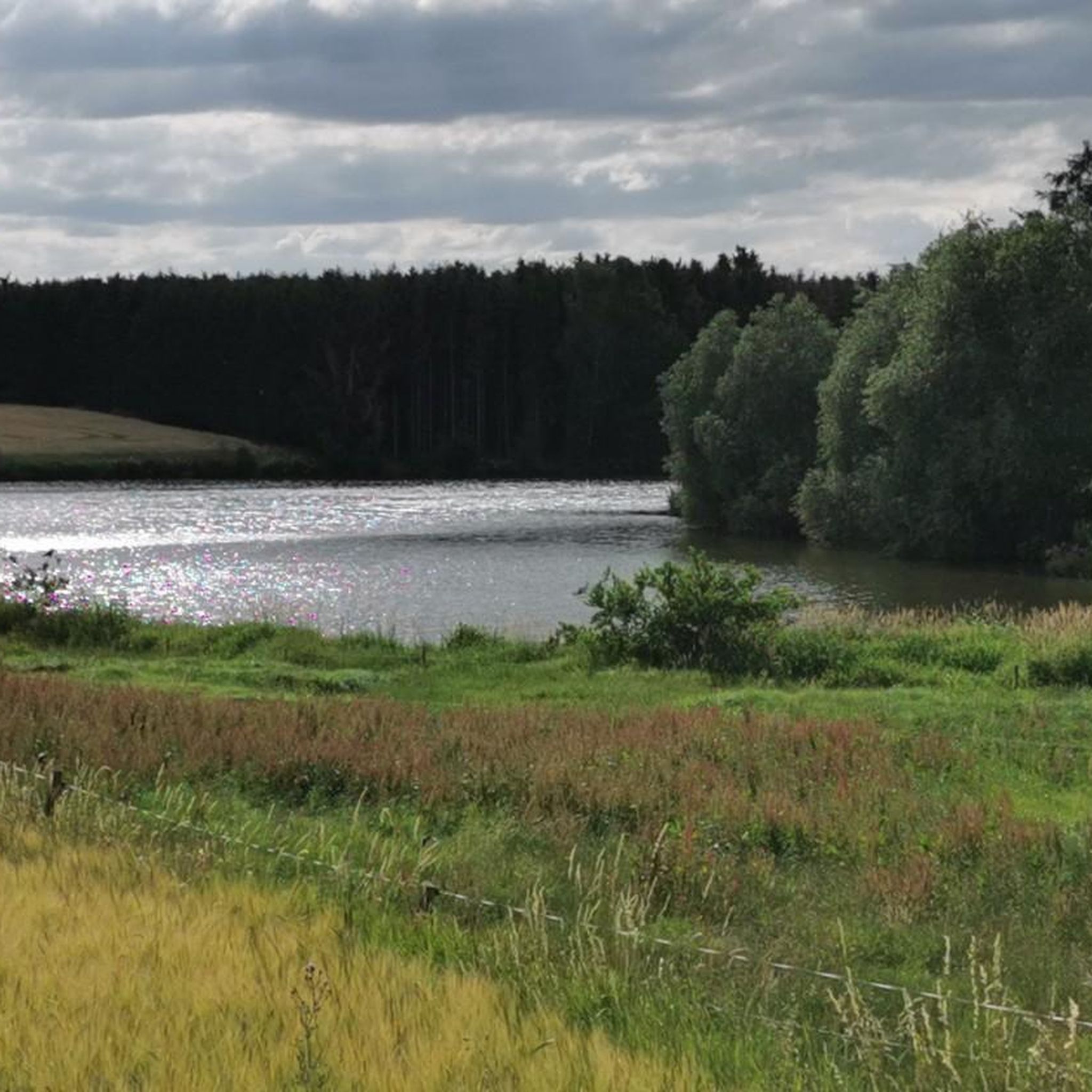
The weir pond is a little insider tip for me, whether on a hike or by bike. Wonderful idyllic place.
2
0
Frequently Asked Questions
How many hiking trails are available around Oettersdorf?
There are over 500 hiking trails around Oettersdorf, offering a wide range of options for different preferences and fitness levels. This includes more than 300 easy routes, 240 moderate trails, and a few more challenging options.
What kind of terrain can I expect on hikes near Oettersdorf?
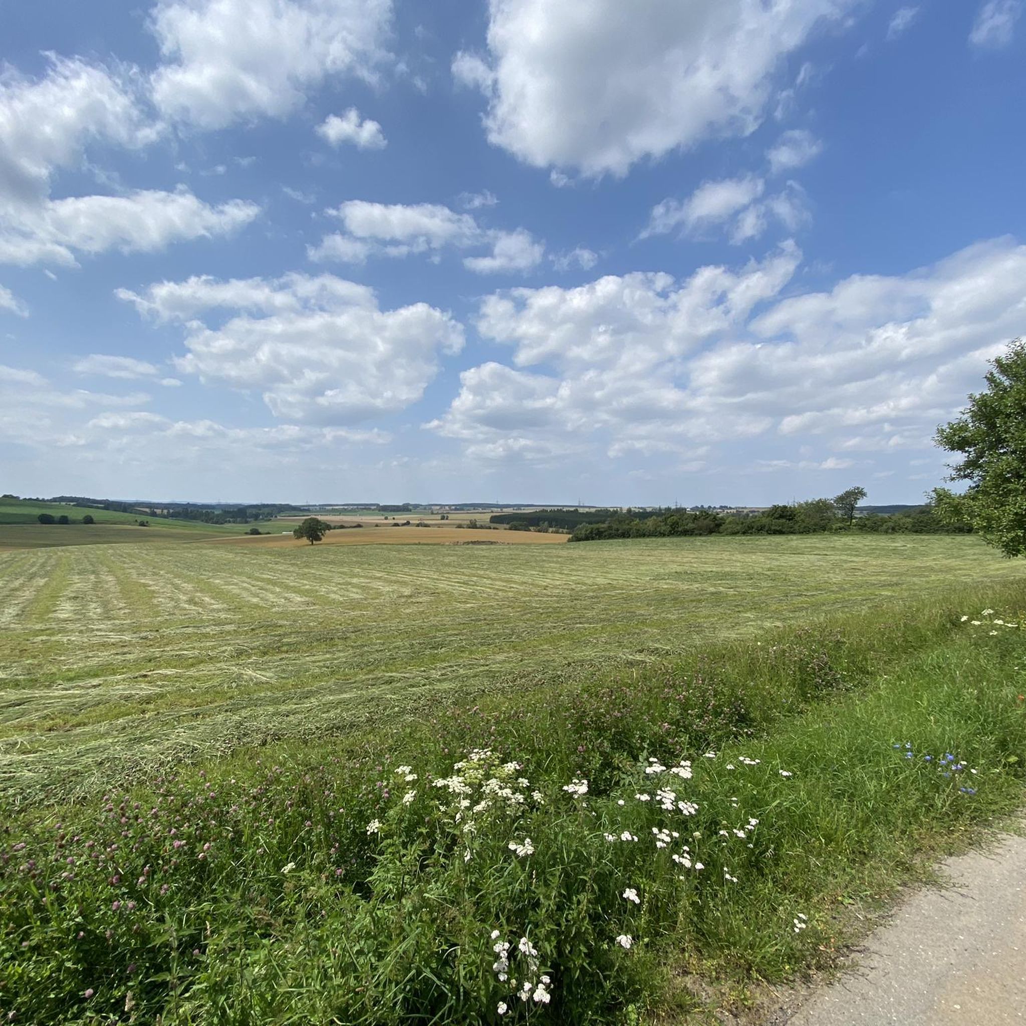
The hiking trails around Oettersdorf feature varied terrain, primarily consisting of paths through woodlands and open areas. You can expect moderate elevation changes, connecting small towns and natural features like local parks and reservoirs.
Are there family-friendly hiking routes in Oettersdorf?
Yes, Oettersdorf offers numerous family-friendly hiking routes. Many of the over 300 easy trails are suitable for families. For example, the Bürgerteich Park Schleiz – Glücksmühle Guesthouse loop from Schleiz is an easy 3.0 miles (4.8 km) path that explores parkland and local areas, perfect for a leisurely family outing.
Can I find circular hiking routes around Oettersdorf?
Yes, many of the trails around Oettersdorf are circular, allowing you to start and end at the same point. An example is the Lössau Reservoir – Lössau Dam loop from Wüstendittersdorf, a 9.5 miles (15.3 km) trail that takes you through natural surroundings around the reservoir.
What are some interesting landmarks or natural sights to see along the trails?
While Oettersdorf itself is not widely known for prominent natural landmarks, the surrounding area offers several points of interest. You can explore natural monuments like Kobersfelsen or enjoy views from Upper Röhrensteig. The region also features lakes such as Plothen Ponds and the unique Stilt House on Hausteich.
Are the hiking trails around Oettersdorf dog-friendly?
Many trails in the Oettersdorf area are suitable for hiking with dogs, especially those through woodlands and open fields. It's always recommended to keep your dog on a leash, especially near wildlife or in populated areas, and to check local regulations for specific routes. The Wehrteich Pond – Am Birkenwäldchen Shelter loop from Schleiz is an easy 3.9 miles (6.2 km) route that offers pleasant walking conditions.
Is there parking available near the trailheads in Oettersdorf?
Information on specific parking facilities for each trailhead is best found on the individual route pages on komoot. Generally, for trails starting from towns like Schleiz or Wüstendittersdorf, you can often find public parking options. It's advisable to check the route details before you go.
What do other hikers say about the trails in Oettersdorf?
The routes in Oettersdorf are highly rated by the komoot community, with an average score of 4.6 stars from over 4200 reviews. Hikers often praise the varied terrain, the peaceful natural surroundings, and the well-maintained paths that connect local parks and reservoirs.
Are there any cafes or restaurants along the hiking routes?
While Oettersdorf itself is a smaller locality, routes starting from nearby towns like Schleiz may offer more options for refreshments. For instance, the Glücksmühle Guesthouse – Thomasmühle Bench loop from Schleiz starts near the Glücksmühle Guesthouse, which could be a good spot for a break. It's always a good idea to check opening hours in advance.
What is the best time of year to go hiking in Oettersdorf?
The varied terrain around Oettersdorf makes it suitable for hiking during most seasons. Spring and autumn offer pleasant temperatures and beautiful scenery with changing foliage. Summer is also great, especially for walks through shaded woodlands. While specific winter hiking conditions are not widely documented, some trails may be accessible depending on snow cover.
How can I reach the hiking trails around Oettersdorf by public transport?
Public transport options to reach specific trailheads in and around Oettersdorf may be limited. It's recommended to check local bus schedules or regional train connections to nearby towns like Schleiz, which serve as starting points for several routes. From there, you might need to walk a short distance to the trailhead.
Most popular routes around Oettersdorf
Most popular attractions around Oettersdorf

Get inspired with the komoot mobile app


Explore more
Browse the best Hikes in other regions.
