The best walks and hikes around Obermaiselstein
4.5
(4378)
17,145
hikers
107
hikes
Hiking around Obermaiselstein offers access to the diverse landscapes of the Allgäu Alps. The region is characterized by rolling hills, alpine meadows, and forested valleys, with views of the surrounding mountain ranges. Numerous streams and rivers carve through the terrain, providing varied scenery for outdoor activities. The elevation changes provide a range of hiking experiences, from gentle walks to more challenging ascents.
Best hiking trails around Obermaiselstein
- The most popular hiking route is View of the Allgäu Main Ridge –…
Last updated: September 29, 2026
4.8
(156)
572
hikers
15.3km
05:34
670m
670m
Hard hike. Very good fitness required. Mostly accessible paths. Sure-footedness required.
4.6
(94)
326
hikers
16.9km
06:32
910m
910m
Hard hike. Very good fitness required. Sure-footedness, sturdy shoes and alpine experience required.

4.8
(426)
1,689
hikers
Moderate hike. Good fitness required. Mostly accessible paths. Sure-footedness required.
4.7
(366)
1,141
hikers
Moderate hike. Good fitness required. Mostly accessible paths. Sure-footedness required.
4.7
(9)
40
hikers
10.6km
03:54
330m
880m
Moderate hike. Good fitness required. Mostly accessible paths. Sure-footedness required.
Get access to more routes and recommendations from other explorers.
Already have an account?
Our route recommendations are based on thousands of hikes, rides, and runs completed by other people on komoot.
Start today with a free account
Your next adventure awaits.
Popular around Obermaiselstein

The Best of Allgäu – Tour around Oberallgäu
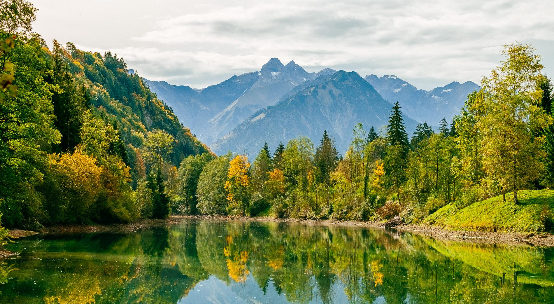
Golden Allgäu – autumn hiking in the Hörner villages

Climbing Alpine peaks on the Route to the Top – Allgäu hiking trilogy
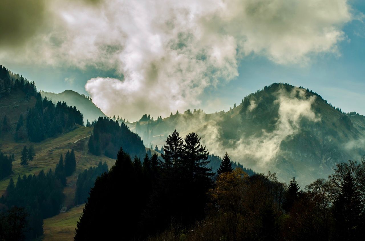
Allgäu pleasure peaks
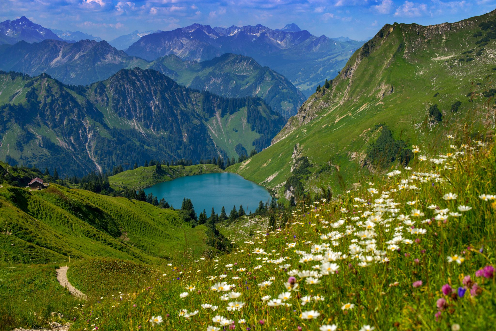
Bergwiesen im Allgäu – 8 Wanderungen über blühende Alpen
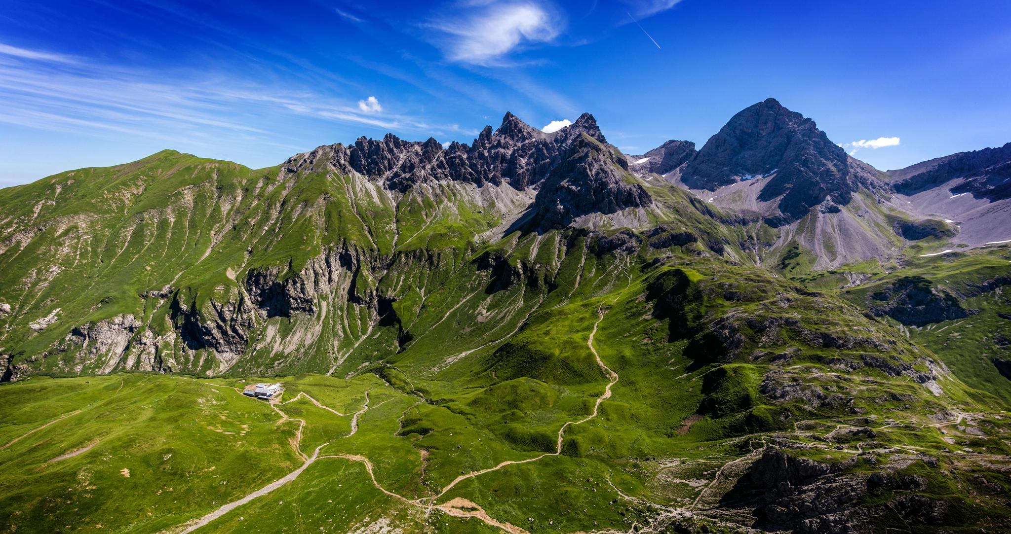
Alpenblick im Allgäu – 8 Wanderungen mit Bergpanorama
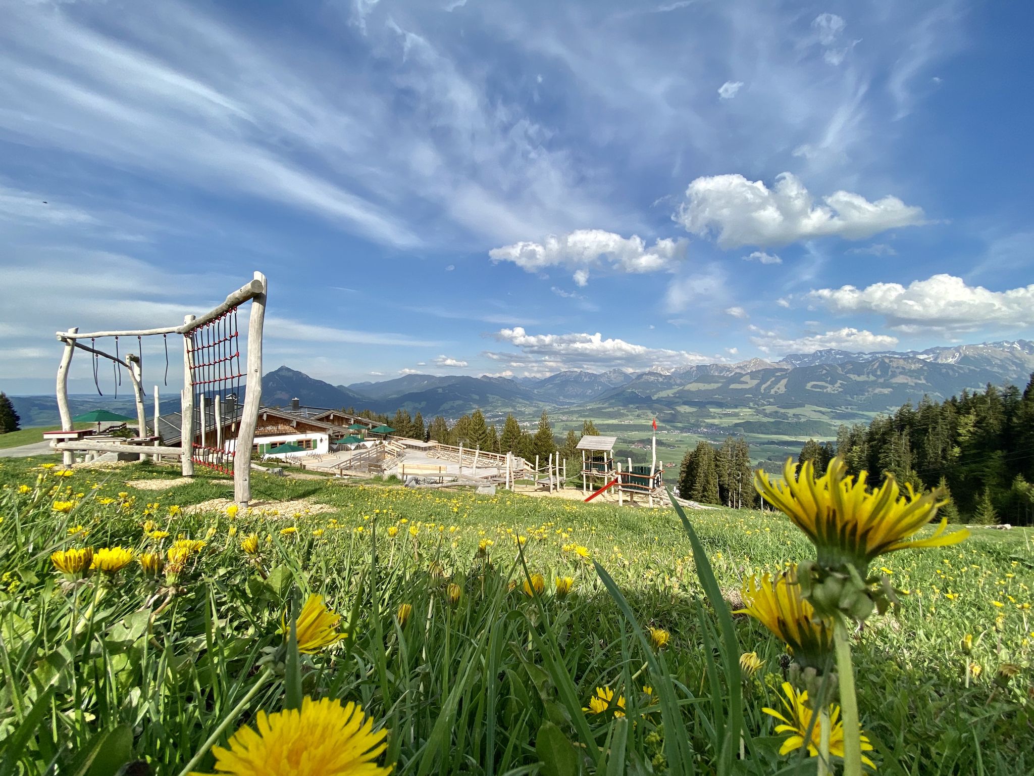
Hörnerdörfer - Themenwege
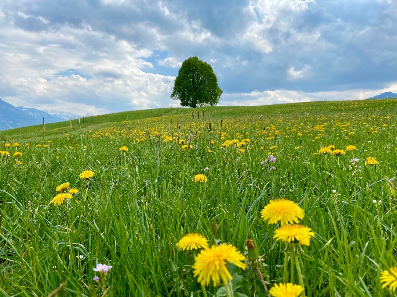
Hörnerdörfer - Idyllische Talwanderungen
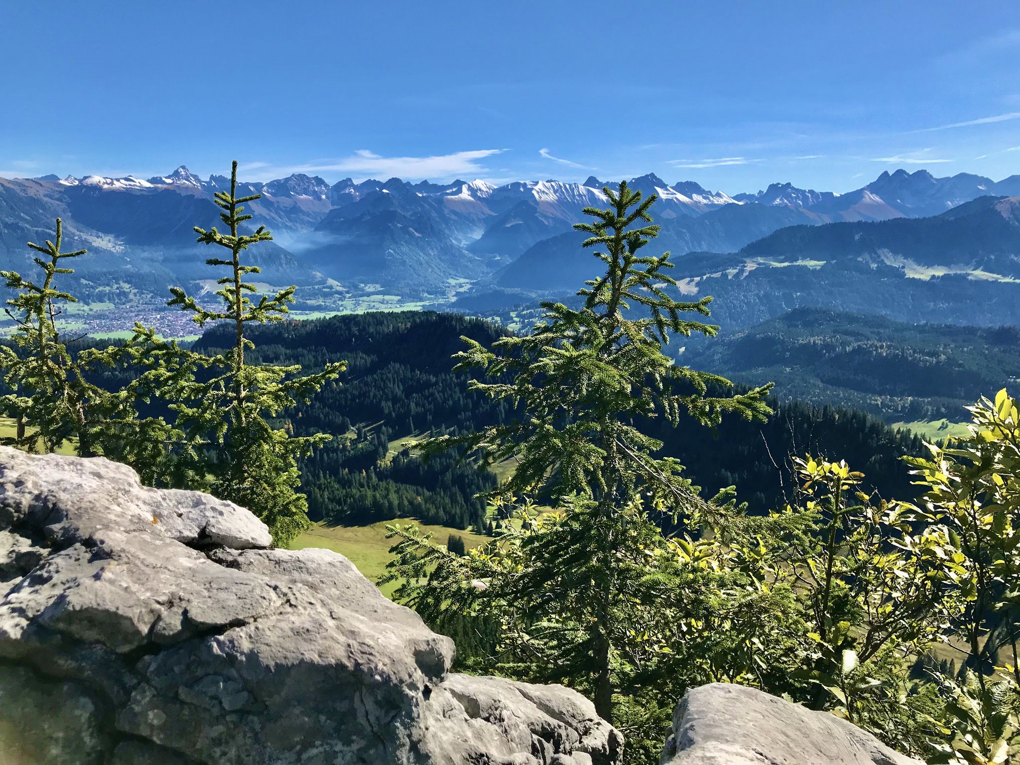
Hörnerdörfer - Aussichtsreiche Gipfelwanderungen
Road Cycling Routes around Obermaiselstein
Other adventures around Obermaiselstein


Tips from the Community

Hochvogel is visible in the distance.
0
0

Located at the starting point of various tours, it offers space for a rest.
0
0

From here you can enjoy a sweeping view of the Allgäu main ridge, whose peaks and ridges stand out like a jagged line on the horizon. On clear days, you can easily distinguish the distinctive mountains from one another and trace their course across the valley. An ideal panoramic stop to breathe in the fresh air, take photos, and marvel at the Allgäu Alps.
4
0
At the summit of the Riedberger Horn, you can enjoy a wide panoramic view over the Nagelfluhkette, the Allgäu Alps and down to Grasgehren. With clear visibility, the panorama extends to the Ifen and far into the Alpine foothills. A perfect place for a longer break, a summit photo and a few minutes of summit bliss.
3
0

It was super cozy and delicious here 😋
0
0

The rustic Alpe Scheuen at an altitude of 1,101 meters offers a good opportunity to stop for refreshments.
7
0
The 1,630-meter-high Piesenkopf can be reached without any particular difficulties. It is a worthwhile destination just for the surrounding landscape and the view.
9
0

A great highlight on this hiking trail: climbing over a hanging root!
0
0
Frequently Asked Questions
How many hiking trails are available around Obermaiselstein?
There are over 100 hiking trails in the Obermaiselstein area, catering to various skill levels. You'll find a good mix of easy, moderate, and challenging routes to explore the Allgäu Alps.
Are there easy hiking trails suitable for beginners or families in Obermaiselstein?
Yes, Obermaiselstein offers many easy hikes, with 36 routes specifically rated as easy. These trails often feature gentle ascents and well-maintained paths, perfect for a relaxed outing with family. The region's alpine meadows and forested valleys provide a pleasant backdrop for less strenuous walks.
What kind of views can I expect on hikes around Obermaiselstein?
Hikers in Obermaiselstein can expect stunning panoramic views of the Allgäu Main Ridge and surrounding mountain ranges. Many trails lead through open alpine meadows, offering consistent mountain vistas. For example, the Mountain View Trail Bolsterlang – Sonderdorf Cross loop from Obermaiselstein is known for its continuous mountain views.
Are there any circular hiking routes in Obermaiselstein?
Yes, many routes in Obermaiselstein are designed as loops, allowing you to start and end at the same point. An example is the View of the Allgäu Main Ridge – Riedberger Horn summit cross loop from Riedbergpass, which offers panoramic views and brings you back to your starting point.
What are some interesting places to see or landmarks near the hiking trails?
Along the hiking trails, you can discover various points of interest. The area features charming mountain huts like the Gaisalpe Mountain Inn, which are great for a break. You might also encounter impressive summits such as the Fellhorn Summit, offering expansive views.
What do other hikers enjoy most about the trails in Obermaiselstein?
The komoot community highly rates the trails in Obermaiselstein, with an average score of 4.5 stars from over 3,600 reviews. Hikers often praise the diverse terrain, from rolling hills to forested valleys, and the consistent mountain views. The well-maintained paths and variety of difficulty levels are also frequently highlighted.
Are there any challenging or difficult hikes for experienced hikers?
Yes, for experienced hikers seeking a challenge, Obermaiselstein offers 10 difficult routes. These trails typically involve greater elevation changes and longer distances. An example is the View of the Riedberger Horn – Riedberger Horn loop from Bolgengrat Südseite, which covers over 12 km with significant ascent.
Can I find hikes that lead to mountain peaks or offer summit experiences?
Absolutely. The region around Obermaiselstein is part of the Allgäu Alps, and many trails lead to or offer views of prominent peaks. You can find routes that provide access to summits like the Nebelhorn summit or the Rubihorn Summit, providing rewarding panoramic vistas.
Are there any trails that pass by traditional alpine huts or mountain inns?
Many hiking routes in Obermaiselstein pass by traditional alpine huts and mountain inns, offering opportunities for refreshments and a taste of local hospitality. The Mountain inn Oytalhaus and Alpe Oberberg are examples of such establishments that can be incorporated into your hike.
What is the typical duration for hikes in Obermaiselstein?
Hike durations in Obermaiselstein vary widely depending on the route's length and difficulty. Easy family-friendly walks might take a couple of hours, while moderate trails often range from 3 to 5 hours. More challenging routes, such as the View of the Allgäu Main Ridge – View of the Riedberger Horn loop from Wald-Wild-Schongebiet Steinhaufen, can take around 4 hours or more to complete.
Are there any hikes that offer a good mix of forested areas and open viewpoints?
Yes, the terrain around Obermaiselstein is characterized by a blend of forested slopes and open alpine areas. Many trails, like the View of the Allgäu Main Ridge – View of the Riedberger Horn loop from Wald-Wild-Schongebiet Steinhaufen, lead through both dense woods and expansive viewpoints, providing varied scenery throughout your journey.
Most popular routes around Obermaiselstein
Most popular attractions around Obermaiselstein

Get inspired with the komoot mobile app


Explore more
Browse the best Hikes in other regions.
