The best walks and hikes around Odenthal
4.4
(9037)
34,834
hikers
325
hikes
Hiking around Odenthal offers diverse landscapes within the Bergisches Land region of Germany. The area is characterized by extensive spruce and beech forests, meandering streams like the Pfengsbach, and the significant Dhünn River with its floodplains. The Eifgen Valley is a prominent natural feature, providing scenic routes through wooded areas. The terrain includes a mix of flat valley trails and routes with moderate elevation changes, catering to various fitness levels.
Best hiking trails around Odenthal
- The most popular hiking route is Odenthaler Rundwanderweg A8 (die Täler von Dhünn und Hasselsiefen), a 5.5 miles (8.9 km) moderate trail that takes 2 hours 27 minutes to complete. This route explores the valleys of the Dhünn and Hasselsiefen rivers.
- Another top favourite among local hikers is Altenberg Cathedral – Eifgenbach loop from Scherfbachtal, a moderate 9.3 miles (14.9 km) path. This trail features the historic Altenberg Cathedral and follows the Eifgenbach stream.
- Local hikers also love the Höhenroute Odenthal, a 17.2 miles (27.7 km) difficult trail leading through varied terrain with significant elevation changes, often completed in about 7 hours 41 minutes.
- Hiking around Odenthal is defined by serene forests, flowing waterways like the Dhünn River, and the scenic Eifgen Valley. The network offers options for different ability levels, from easy valley walks to more challenging routes with elevation.
- The routes in Odenthal are highly rated by the komoot community with an average score of 4.4 stars from over 8,400 reviews. More than 36,000 hikers have used komoot to explore Odenthal's varied terrain.
Last updated: June 29, 2026
4.5
(168)
612
hikers
8.89km
02:28
150m
160m
Moderate hike. Good fitness required. Easily-accessible paths. Suitable for all skill levels.
4.8
(800)
2,859
hikers
14.9km
04:08
270m
270m
Moderate hike. Good fitness required. Easily-accessible paths. Suitable for all skill levels.

Sign up for free
4.4
(38)
118
hikers
27.7km
07:41
500m
510m
Hard hike. Very good fitness required. Easily-accessible paths. Suitable for all skill levels.
4.4
(402)
1,480
hikers
Moderate hike. Good fitness required. Easily-accessible paths. Suitable for all skill levels.
4.4
(387)
1,361
hikers
10.3km
02:49
170m
170m
Moderate hike. Good fitness required. Easily-accessible paths. Suitable for all skill levels.
Get access to more routes and recommendations from other explorers.
Sign up for free
Already have an account?
Our route recommendations are based on thousands of hikes, rides, and runs completed by other people on komoot.
Start today with a free account
Your next adventure awaits.
Login or Signup
Popular around Odenthal
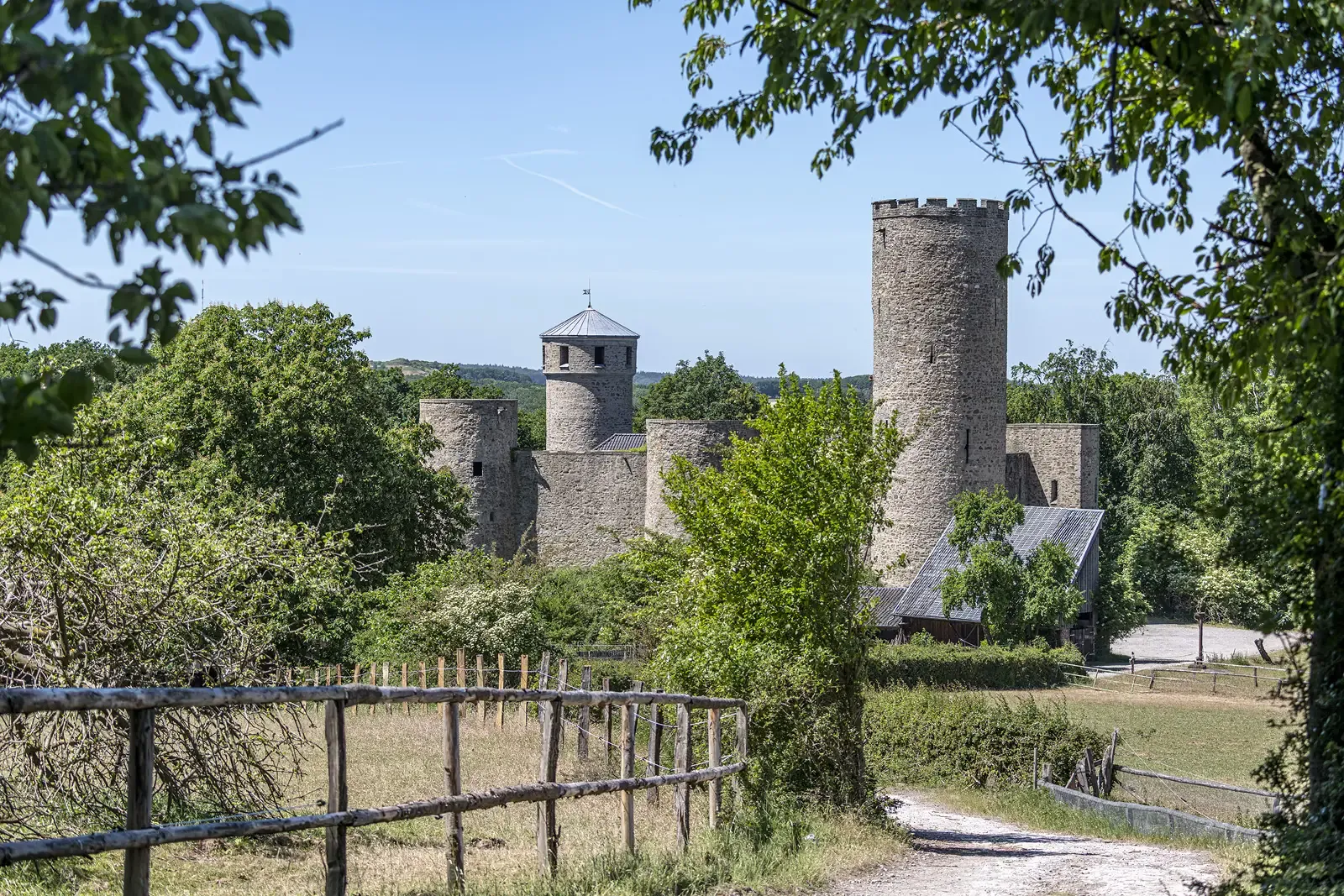
Rhineland Way of St. James – A pilgrimage week
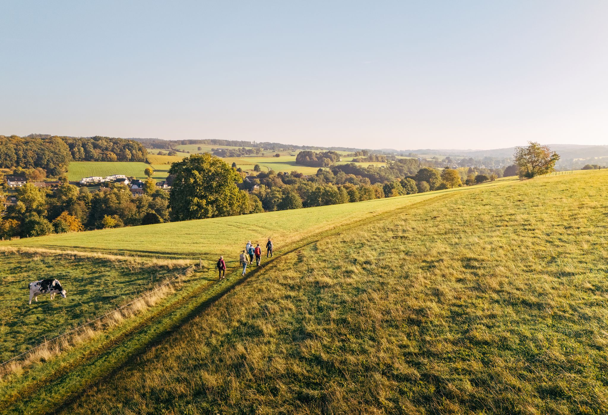
"Wunderschön" through the Bergisches Land – on the trail of the WDR show
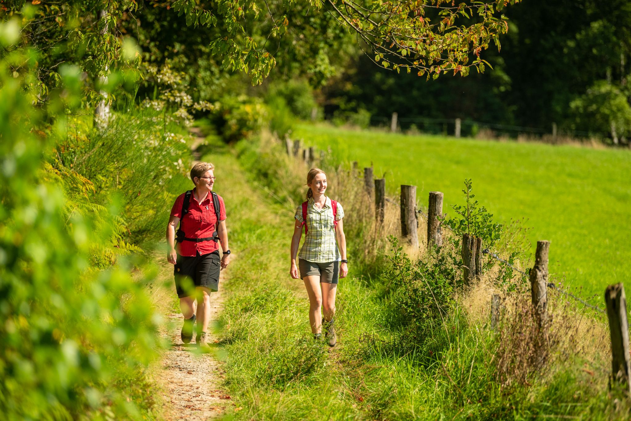
Bergische Rambles – themed and adventure trails in the Bergisches Land region
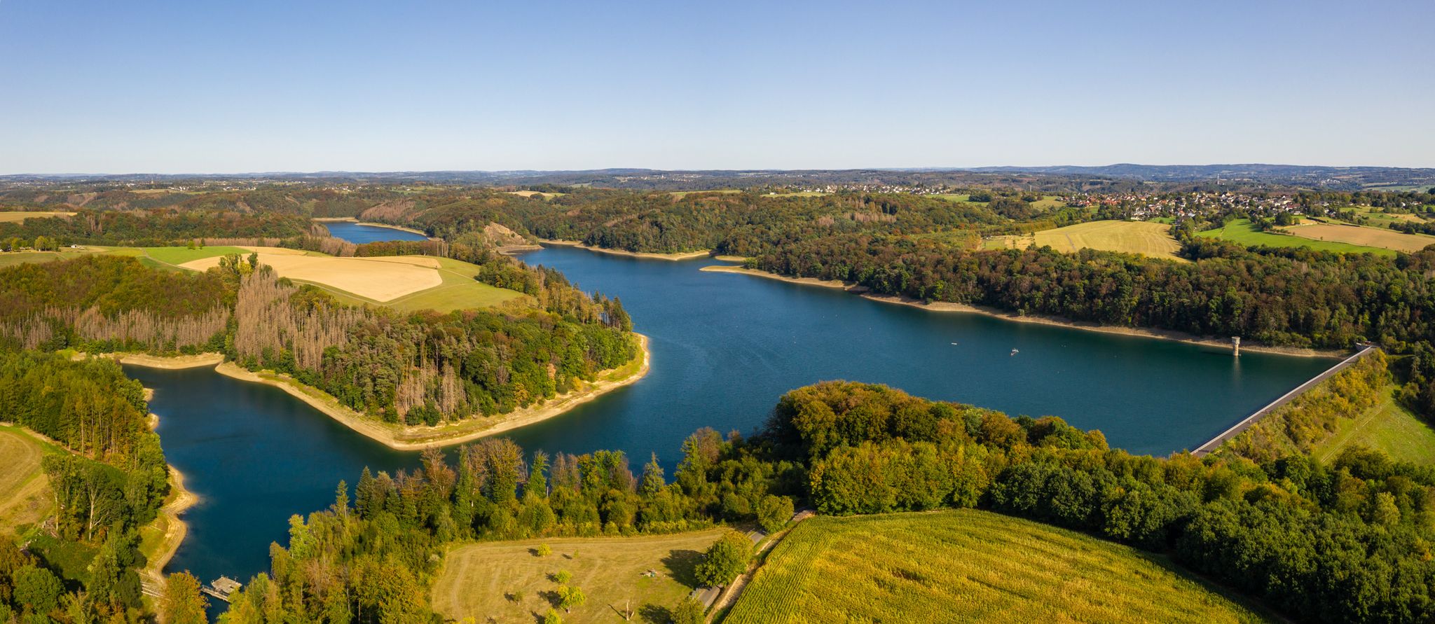
The Bergische Weg - Germany's most beautiful hiking trail 2024
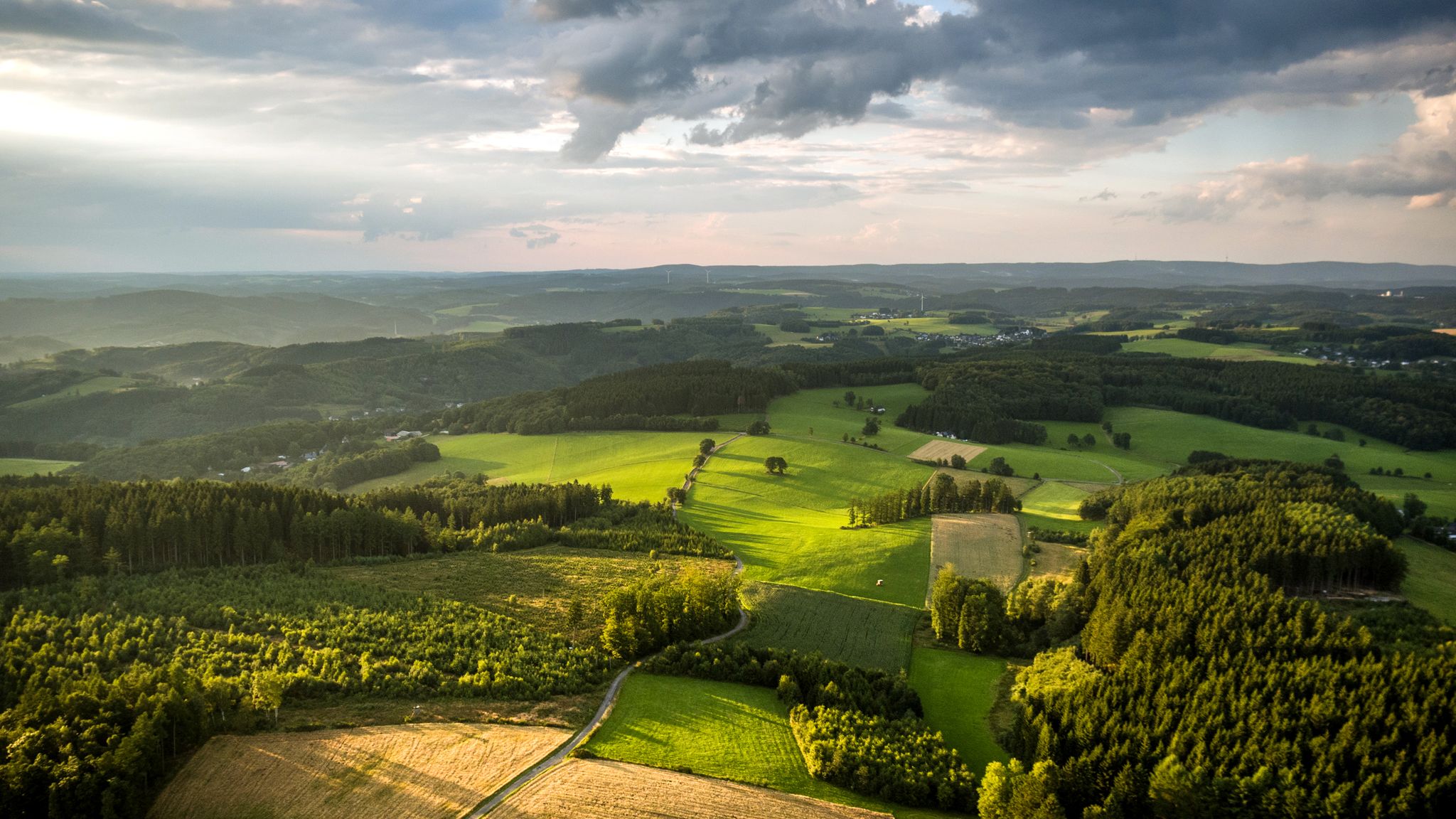
Panoramic adventures — explore Germany’s Bergisches Land
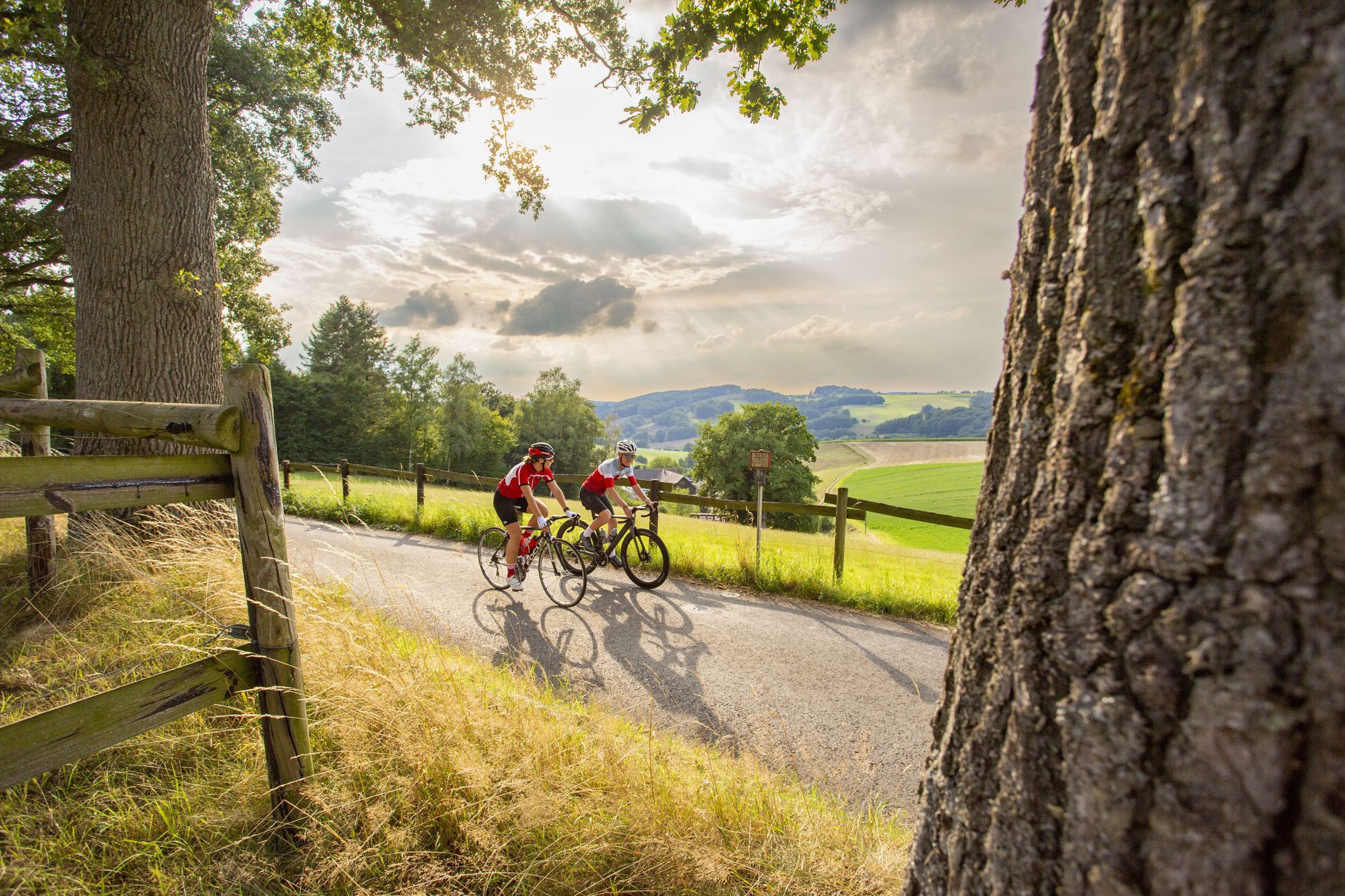
Road bike Tours in the Bergisches Land – endless hills and forests
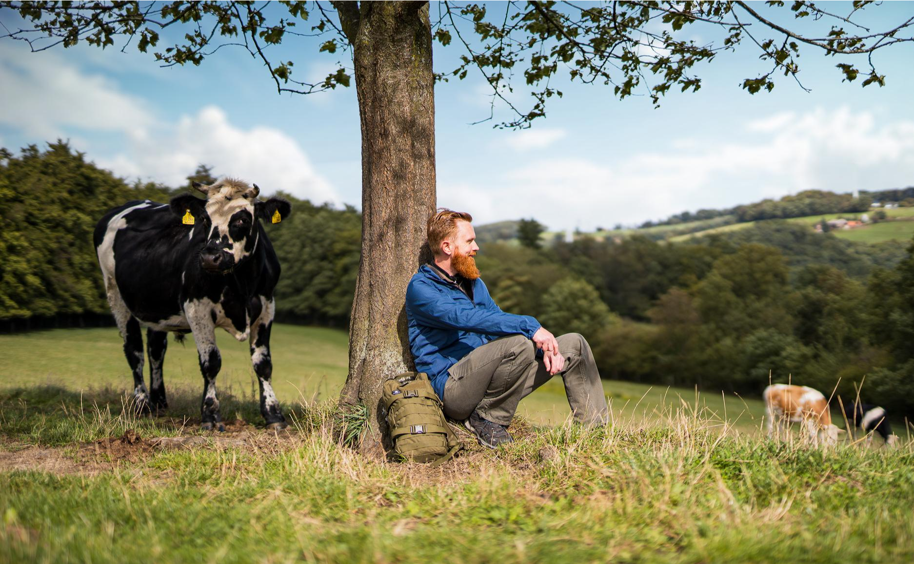
Unterwegs auf neu(e)n Wegen durch NRW
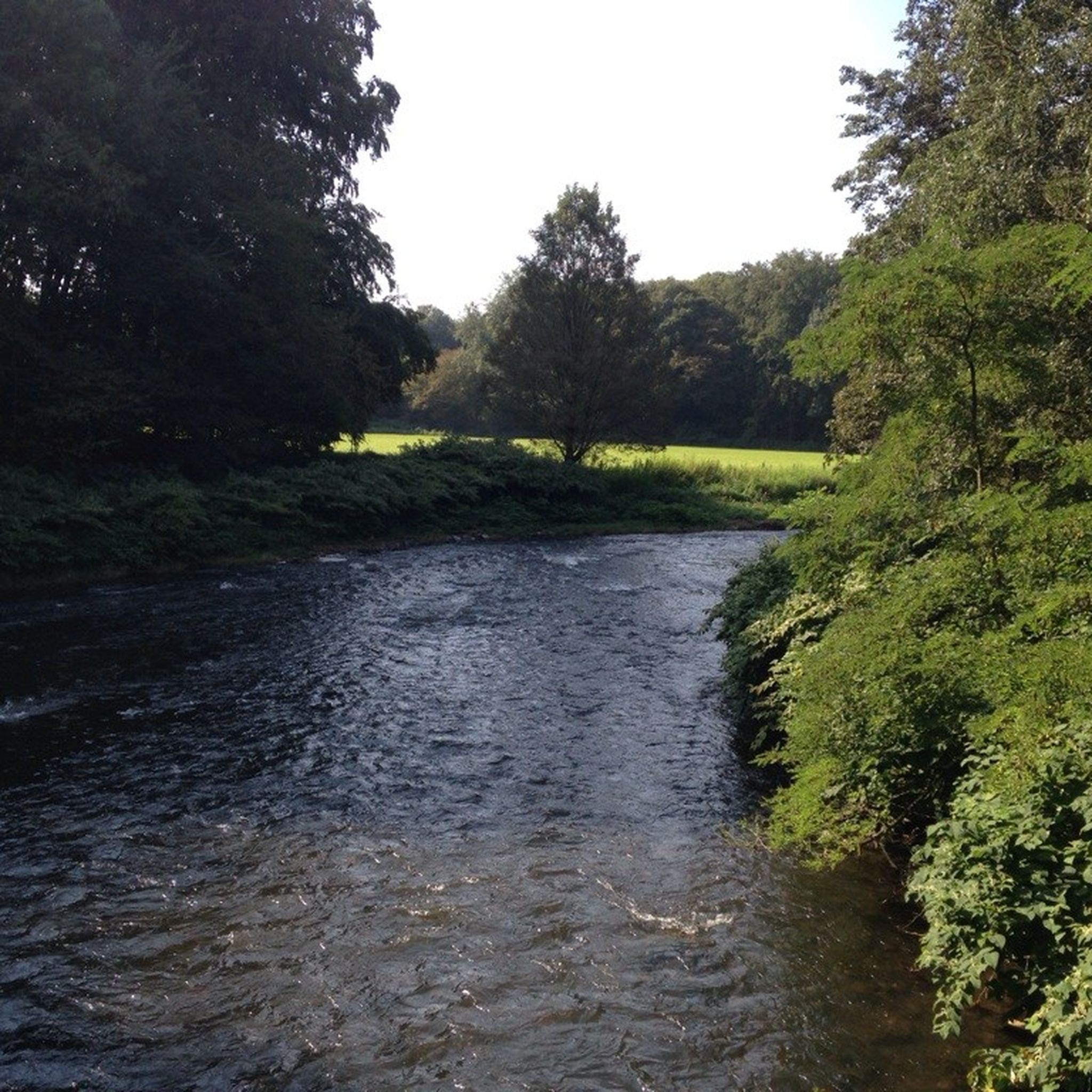
MTB Trails around Odenthal
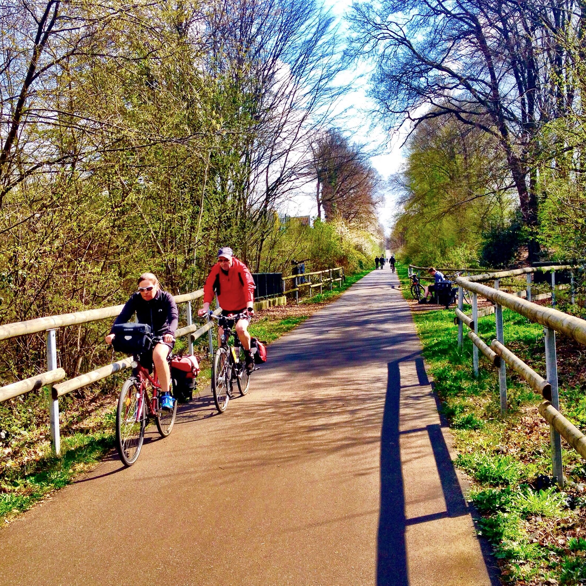
Cycling around Odenthal
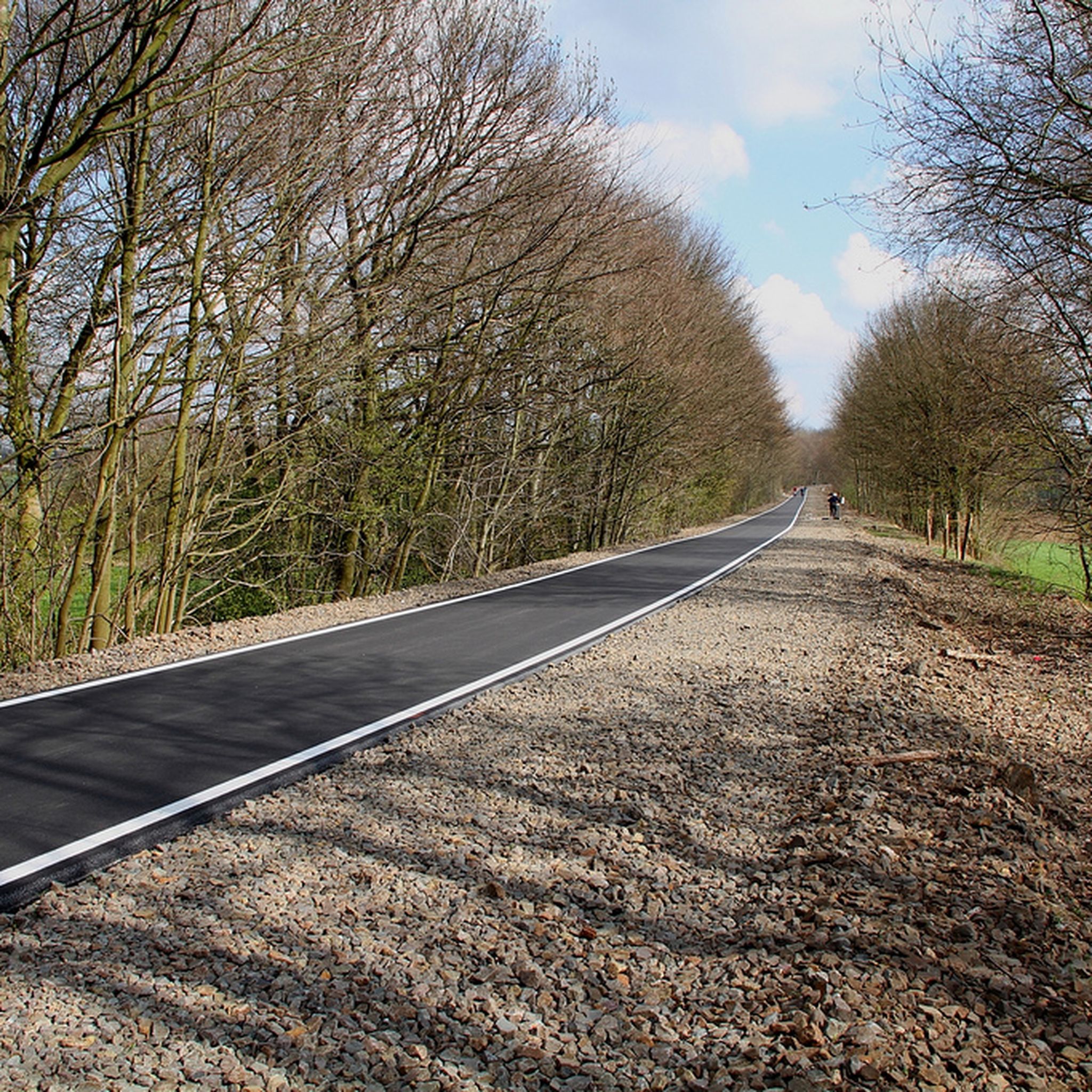
Road Cycling Routes around Odenthal
Other adventures around Odenthal


Tips from the Community

Beautiful river landscape, forest and with mills
1
0

The section along the Hortenbach stream below the Hoheberg mountain is one of the most picturesque parts of the Dhünn hiking trail. The path leads you along the water in a relaxed manner. The dense canopy of leaves provides welcome shade, especially on hot days.
1
0

Due to its unique flora and fauna, large areas of the Dhünn floodplain are protected nature reserves. Thanks to the good water quality and the high structural diversity of the riverbed, kingfishers, dippers, and grey wagtails can still be observed here.
0
0

Through an old archway you enter the monastery district
1
0


Open regularly, admission is 1 euro on a trust basis, which you put into a cash register.
1
0

great path along the stream
0
0

Frequently Asked Questions
How many hiking trails are available in Odenthal?
Odenthal offers a comprehensive network of over 300 hiking trails. These routes cater to various preferences, with more than 200 easy trails, 100 moderate options, and 11 challenging routes for experienced hikers.
What kind of terrain can I expect on Odenthal's hiking trails?
Odenthal's landscape is characterized by a mix of serene spruce and beech forests, meandering streams like the Pfengsbach, and the significant Dhünn River with its floodplains. You'll find both flat valley trails and routes with moderate elevation changes, particularly within the scenic Eifgen Valley.
Are there any family-friendly hiking options in Odenthal?
Yes, Odenthal has many family-friendly trails. The region offers numerous easy, flat routes suitable for all ages. A great option is the Odenthaler Rundwanderweg A8, which explores the valleys of the Dhünn and Hasselsiefen rivers and is a moderate 8.9 km loop.
Can I bring my dog on the hiking trails in Odenthal?
Many of Odenthal's hiking trails are dog-friendly, allowing you to enjoy the natural beauty with your canine companion. It's always recommended to keep dogs on a leash, especially in nature reserves or areas with wildlife, and to respect local regulations.
Are there any circular hiking routes in Odenthal?
Yes, Odenthal is known for its diverse circular routes. The Altenberg Cathedral – Eifgenbach loop from Scherfbachtal is a popular moderate 14.9 km path that features the historic Altenberg Cathedral and follows the Eifgenbach stream.
What interesting landmarks or attractions can I see along the trails?
Odenthal's trails often incorporate cultural and historical elements. You can discover relics of old cultural history like mill remains and quarries, or explore themed routes such as the Witches' Route, which passes the Witches' Fountain and leads through the Eifgen Valley to the German Fairy Tale Forest. For specific natural beauty, consider visiting the Eifgen Valley or the Dhünn Valley.
Where can I park when hiking in Odenthal?
Odenthal provides various parking options near popular trailheads. While specific parking lots vary by route, many starting points for trails, especially those around Altenberg or within the Eifgen Valley, offer designated parking areas. It's advisable to check the starting point of your chosen route for the most convenient parking.
Are there any long-distance or challenging hikes in the area?
For those seeking a challenge, Odenthal offers more demanding routes. The Höhenroute Odenthal is a difficult 27.7 km trail with significant elevation changes, typically taking over 7 hours to complete. It leads through varied terrain, offering a strenuous but rewarding experience.
What do other hikers say about the trails in Odenthal?
The hiking trails in Odenthal are highly regarded by the komoot community, with an average rating of 4.4 stars from over 8,400 reviews. Hikers frequently praise the well-maintained paths, the diverse forest and riverine landscapes, and the blend of nature with interesting historical and folkloric attractions.
Are there any trails that feature the Dhünn River or other waterways?
Absolutely. The Dhünn River is a prominent feature of the Odenthal landscape. Trails like the Altenberg Abbey Gate – Dhünn stream floodplain near Odenthal loop from Altenberg allow hikers to experience the region's waterways and floodplains up close.
Can I reach hiking trails in Odenthal using public transportation?
While many trails are accessible by car, some areas in Odenthal are served by local bus routes, making it possible to reach certain trailheads via public transport. It's recommended to check local bus schedules and routes in advance to plan your journey.
Are there any castles or historical sites to visit near the hiking routes?
Yes, the region around Odenthal is rich in history. You can find several castles and historical sites. For example, Burg Castle and Bensberg Castle are notable attractions that can be combined with hiking excursions.
Most popular routes around Odenthal
Most popular attractions around Odenthal

Get inspired with the komoot mobile app


Explore more
Browse the best Hikes in other regions.
