The best cycling routes around Orth an der Donau
4.6
(810)
3,635
riders
194
rides
Touring cycling around Orth an der Donau offers routes through the Donau-Auen National Park, a significant floodplain landscape. The terrain is characterized by the Danube River, its reconnected side arms, and extensive wetlands and floodplain forests. These routes generally feature gentle gradients and smooth paths, making the region suitable for various cycling abilities. The dynamic interplay of water levels shapes the diverse habitats found along the trails.
Best touring cycling routes around Orth an der Donau
- The most popular touring…
Last updated: October 5, 2026
4.8
(4)
23
riders
Hard bike ride. Great for any fitness level. You may need to push your bike for some segments of this route.
5.0
(7)
31
riders
Moderate bike ride. Good fitness required. Mostly paved surfaces. Suitable for all skill levels.

17
riders
14.1km
00:48
10m
10m
Easy bike ride. Great for any fitness level. Mostly paved surfaces. Suitable for all skill levels.
5.0
(3)
11
riders
Easy bike ride. Great for any fitness level. Mostly paved surfaces. Suitable for all skill levels.
4.7
(3)
6
riders
Easy bike ride. Great for any fitness level. Mostly paved surfaces. Suitable for all skill levels.
Get access to more routes and recommendations from other explorers.
Already have an account?
Our route recommendations are based on thousands of hikes, rides, and runs completed by other people on komoot.
Start today with a free account
Your next adventure awaits.
Popular around Orth an der Donau
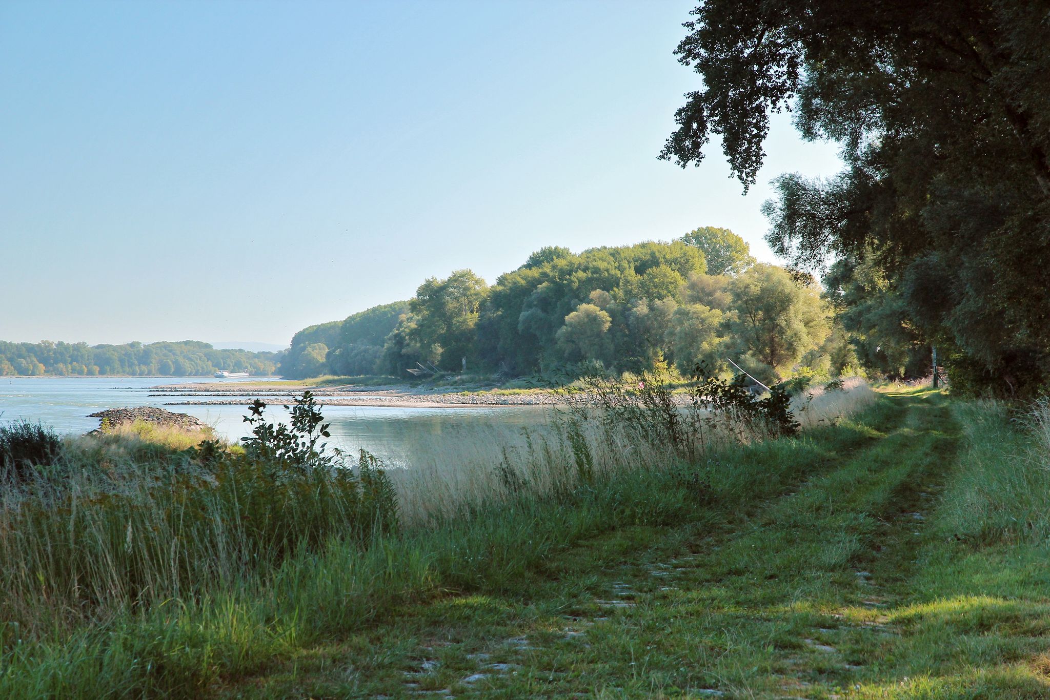
From Vienna to the state border at Hainburg - Tours in the National Park Donau-Auen
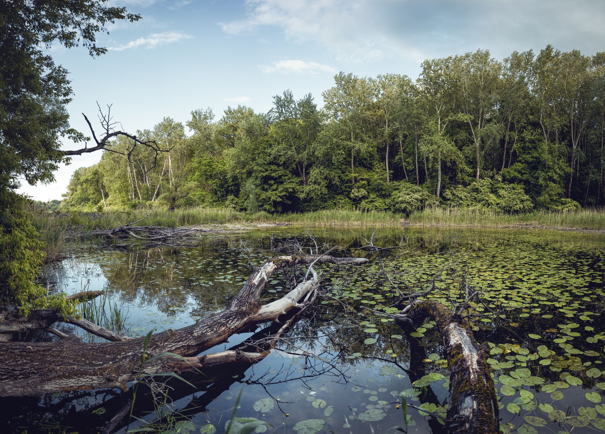
Discover the Donau-Auen National Park
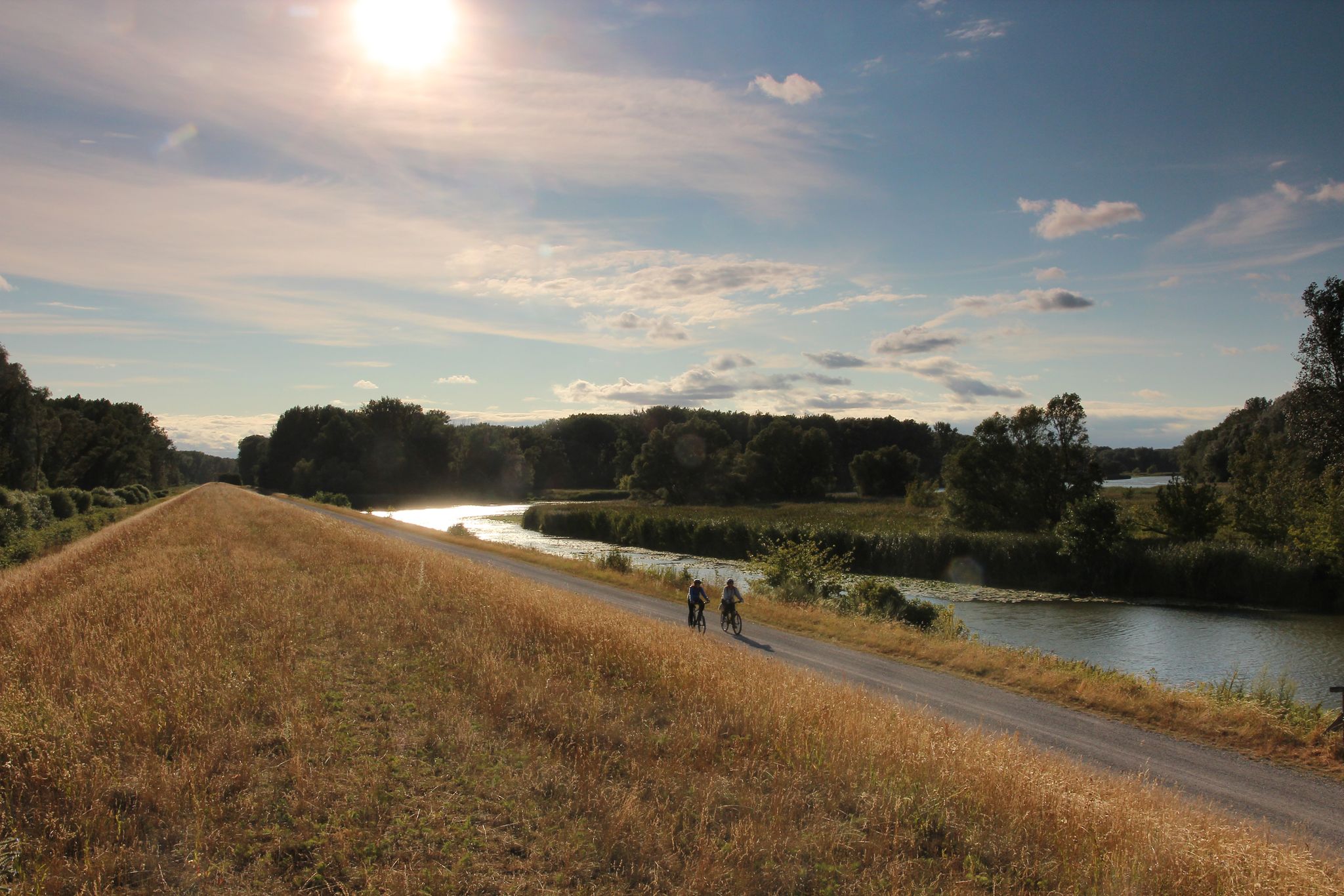
Radrouten im Nationalpark Donau-Auen
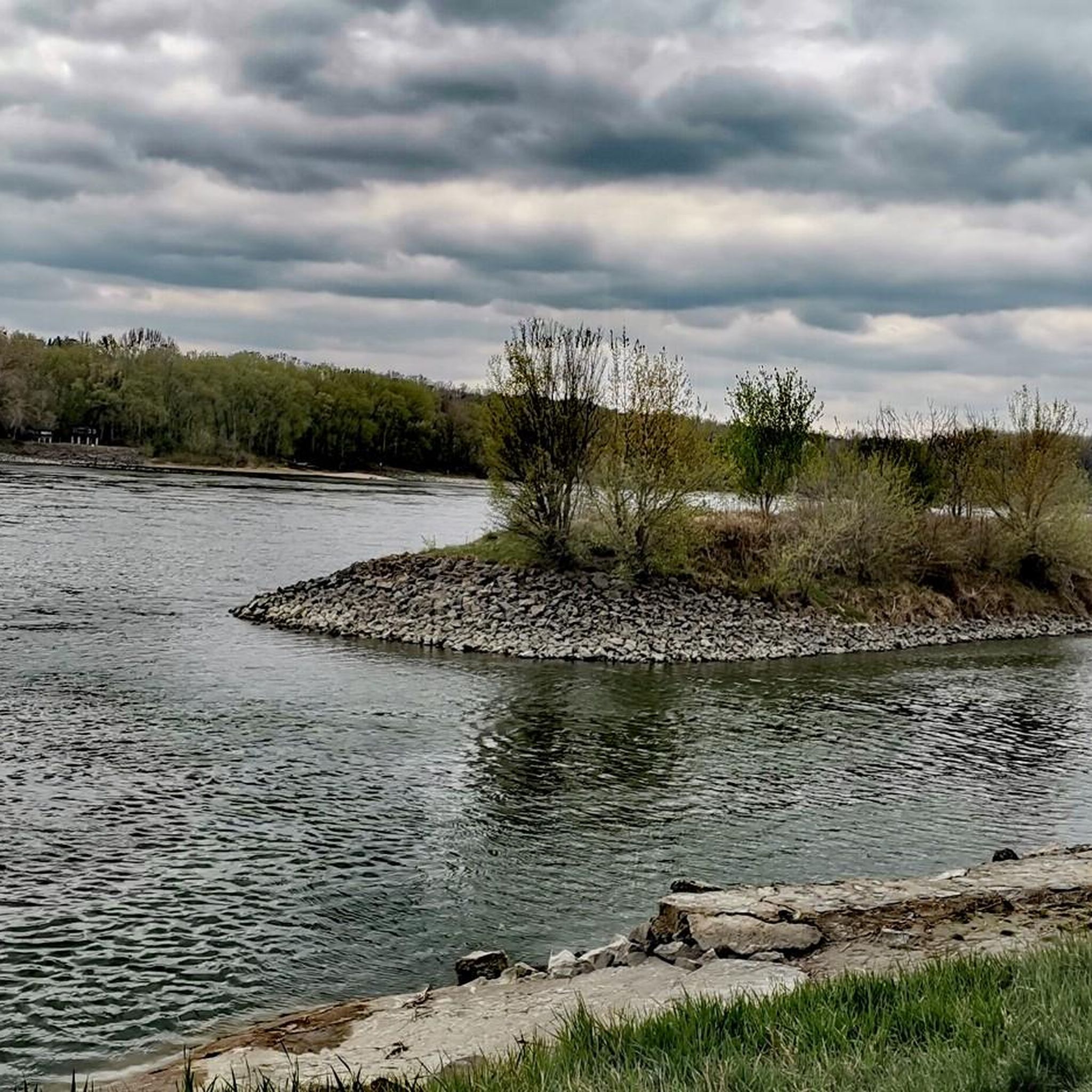
Hiking around Orth an der Donau
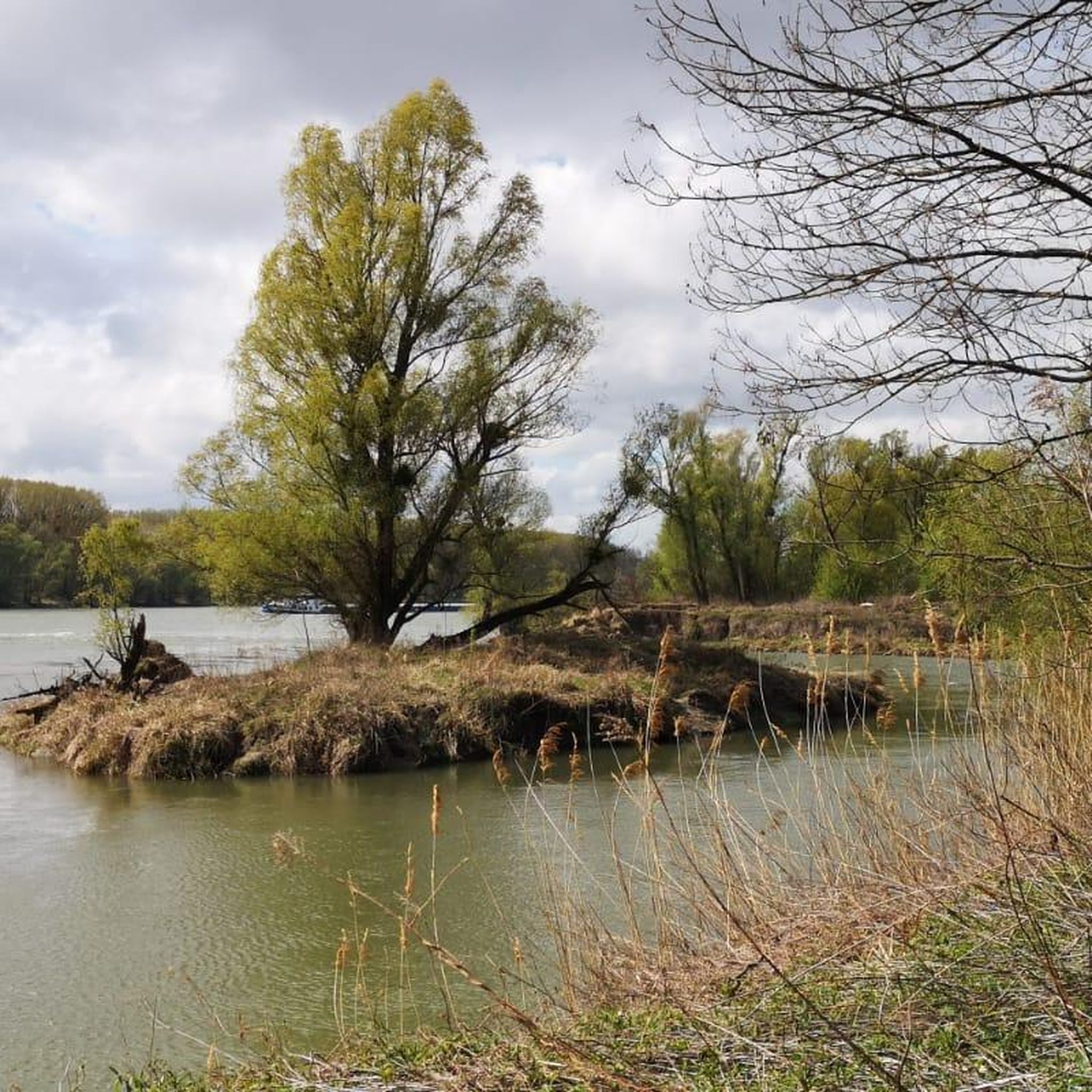
Road Cycling Routes around Orth an der Donau
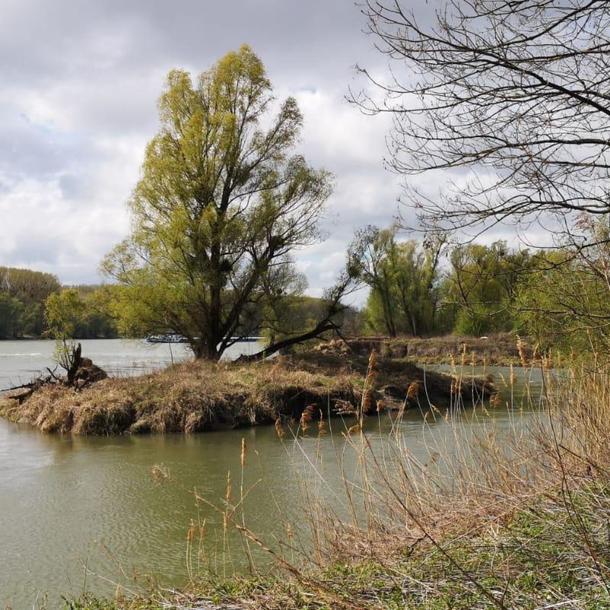
MTB Trails around Orth an der Donau
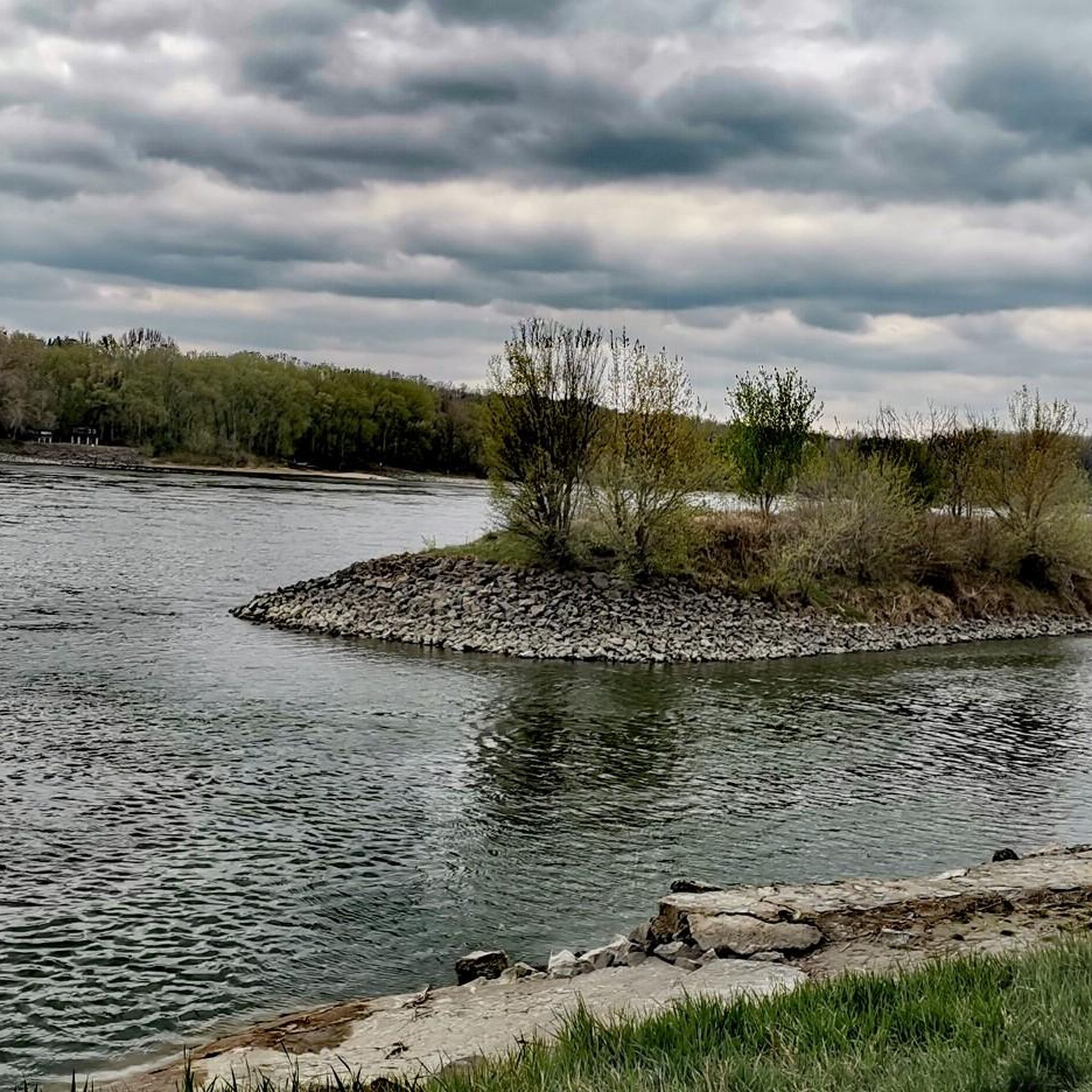
Running Trails around Orth an der Donau
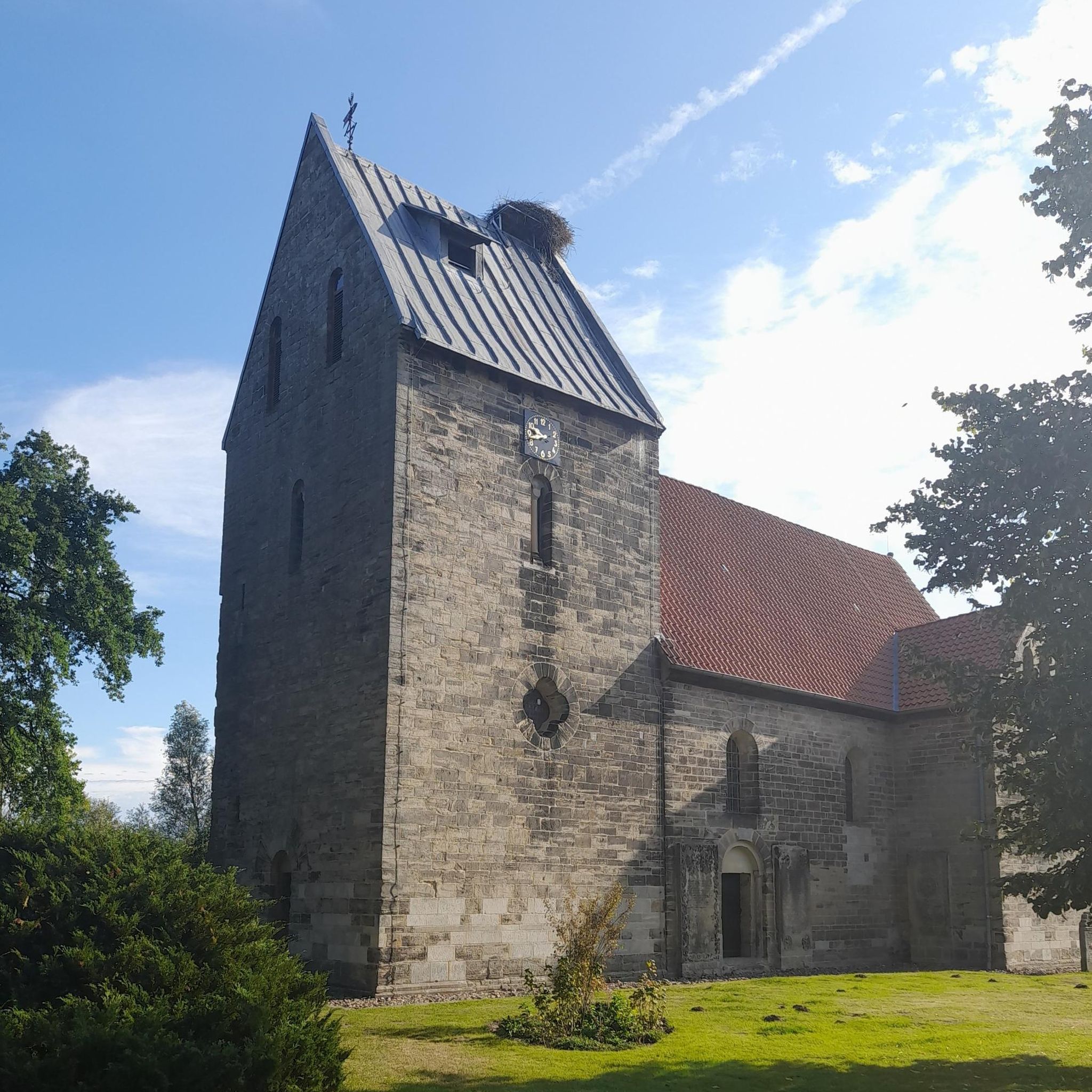
Gravel biking around Orth an der Donau
Other adventures around Orth an der Donau


Tips from the Community

Check if the ferry is running: www.faerhre-orth.at
0
0


Komoot seems to have incorrect routing here, The landing spot is located (as of May 2026) approx. 300-500m upstream and is signposted directly on the towpath.
0
0

Kellerzeilenfest: The traditional Kellerzeilenfest is an annual highlight that attracts many visitors from the surrounding area. It is described as a festival for young and old, often with supporting activities such as bouncy castles and pony rides for children.
2
0

The "Gerade Weg" (Straight Path) is a distinctive forest path in the Donau-Auen National Park, particularly known for its perfectly straight course through the changing forest landscapes. It is not a classic hiking trail in the sense of a winding adventure loop, but often serves as an important connecting axis or an entry route into the deeper floodplain areas.
0
0
A wonderful cycle path right through the vast Danube wetlands. Cycling here is definitely an insider tip!
0
0
A wonderful place to watch birds.
0
0

Long straight path between trees and farms. Chill ride.
0
0
Frequently Asked Questions
How many touring cycling routes are available around Orth an der Donau?
There are over 200 touring cycling routes in the Orth an der Donau area, catering to various skill levels. This includes approximately 103 easy routes, 69 moderate routes, and 36 difficult routes.
What kind of terrain can I expect on the touring cycling routes in Orth an der Donau?
The terrain around Orth an der Donau is primarily characterized by the Danube River, its reconnected side arms, and extensive wetlands and floodplain forests within the Donau-Auen National Park. Routes often feature smooth asphalt paths and gentle gradients through meadows and villages, making them generally accessible. You might encounter gravel sections, especially closer to the riverbanks and natural islands.
Are there easy touring cycling routes suitable for beginners or families?
Yes, Orth an der Donau offers over 100 easy touring cycling routes. A great option for a relaxed ride is the Bike loop from Orth an der Donau, which is 8.8 miles (14.1 km) long and takes about 48 minutes. Another easy route is the Drinking Fountain at Schloss Orth – Marian Column, Orth an der Donau loop from Orth an der Donau, covering 28.5 km.
What natural features can I see along the touring cycling routes?
Cycling in Orth an der Donau offers immersion in the Donau-Auen National Park, one of Central Europe's last large, intact floodplain landscapes. You'll encounter diverse wetlands, floodplain forests, and numerous watercourses, including side arms of the Danube. Keep an eye out for unique aquatic life, various bird species like kingfishers, and diverse plant life such as white willows and poplars. The dynamic interplay of water levels constantly reshapes the landscape, creating diverse habitats.
Are there any circular touring cycling routes in the area?
Yes, several circular routes are available. For example, the Ferry to Haslau – Marian Column, Orth an der Donau loop from Haslau an der Donau is a difficult 14.6-mile (23.5 km) path offering views of the Danube. Another option is the Bike loop from Orth an der Donau, an easy 8.8-mile (14.1 km) trail.
What cultural or historical landmarks can I visit while cycling?
The region offers several cultural and historical landmarks. You can visit the Orth Castle on the Danube, National Park Center, which serves as a visitor center for the Donau-Auen National Park. Other notable sites include Eckartsau Castle and the historic parish church of St. Michael. The Petronell Castle and Sachsengang Castle are also within cycling distance.
What is the best time of year for touring cycling in Orth an der Donau?
The best time to cycle is generally from spring to autumn, when the weather is mild and the natural beauty of the Donau-Auen National Park is in full bloom. During these seasons, the trails are typically dry and accessible, allowing for comfortable exploration of the wetlands and floodplain landscapes. Some trails may be impassable during high water levels, particularly in spring or after heavy rainfall.
What do other touring cyclists enjoy most about touring cycling in Orth an der Donau?
The area is highly rated by the komoot community, with an average score of 4.6 stars from over 600 reviews. Reviewers often praise the diverse terrain, the stunning natural beauty of the Donau-Auen National Park, and the well-maintained paths along the Danube. The combination of nature and cultural sights like Schloss Orth is frequently highlighted as a major draw.
Are there any specific regulations for cycling within the Donau-Auen National Park?
The Donau-Auen National Park is a protected area. While cycling is generally permitted on designated paths, it's important to stay on marked routes to protect the sensitive ecosystems. For detailed information on specific regulations or any required permits, especially for off-path exploration or group activities, it's advisable to consult the official National Park website: Nationalparks Austria.
Where can I find parking for my car if I want to cycle in Orth an der Donau?
Orth an der Donau, being a popular starting point for cyclists, typically offers various parking options, especially near the town center and attractions like Schloss Orth. Many routes, such as the Drinking Fountain at Schloss Orth – Marian Column, Orth an der Donau loop from Orth an der Donau, start directly from the town, making it convenient to park and begin your ride.
Can I reach Orth an der Donau by public transport with my bike?
Orth an der Donau is generally accessible by public transport, which often includes options for bike transport, especially along the Danube Cycle Path. Regional buses or trains connecting to nearby larger towns like Vienna may offer facilities for bicycles. It's recommended to check the specific public transport provider's website for current schedules and bike carriage policies before your trip.
Are there any routes that connect to the wider Danube Cycle Path?
Yes, Orth an der Donau is strategically located directly on the Danube Cycle Path, a renowned route connecting major cities like Passau, Vienna, and Budapest. Many local routes integrate with or branch off this larger path, allowing for extended touring experiences. For instance, the Ferry to Haslau – Hainburg Danube Bridge loop from Haslau an der Donau explores the Danube's banks and connects notable landmarks along the wider path.
Most popular routes around Orth an der Donau
Most popular attractions around Orth an der Donau

Get inspired with the komoot mobile app


Explore more
Browse the best Cycling routes in other regions.
