The best walks and hikes around Oststeinbek
4.5
(3928)
23,195
hikers
22
hikes
Hiking trails around Oststeinbek traverse a landscape characterized by gentle rolling hills and interspersed green spaces. The region features numerous lakes and forests, providing a scenic backdrop for outdoor activities. The Glinder Au river flows through the area, offering additional natural features for exploration. This setting provides varied terrain for hikers of different abilities.
Best hiking trails around Oststeinbek
- The most popular hiking route is Bench by the Wooden Bridge – Bridge Over the Glinder Au loop from Oststeinbek,…
Last updated: July 5, 2026
4.2
(64)
78
hikers
Moderate hike. Good fitness required. Easily-accessible paths. Suitable for all skill levels.
5.0
(3)
31
hikers
Easy hike. Great for any fitness level. Easily-accessible paths. Suitable for all skill levels.

Sign up for free
4.6
(5)
23
hikers
5.54km
01:25
20m
20m
Easy hike. Great for any fitness level. Easily-accessible paths. Suitable for all skill levels.
4.4
(7)
24
hikers
7.28km
01:52
30m
30m
Easy hike. Great for any fitness level. Easily-accessible paths. Suitable for all skill levels.
4.3
(6)
20
hikers
3.95km
01:01
20m
20m
Easy hike. Great for any fitness level. Easily-accessible paths. Suitable for all skill levels.
Get access to more routes and recommendations from other explorers.
Sign up for free
Already have an account?
Our route recommendations are based on thousands of hikes, rides, and runs completed by other people on komoot.
Start today with a free account
Your next adventure awaits.
Login or Signup
Tips from the Community

in a small facility Am Eich, 22113 Oststeinbek
0
0


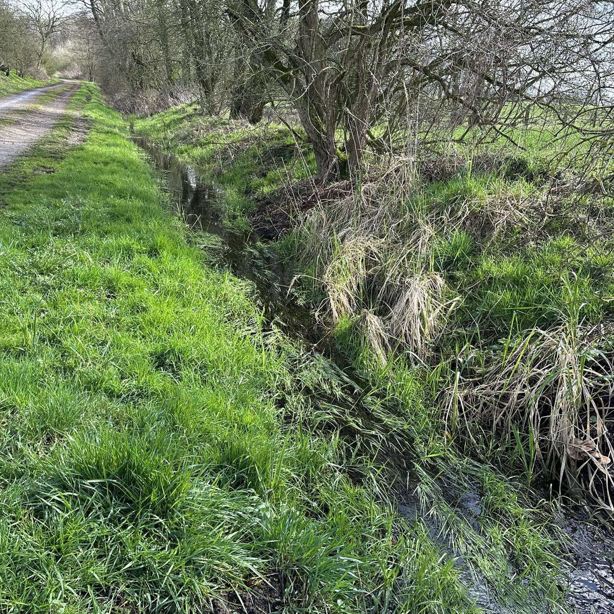
Along the Glinde River, which originates near Kronhorst and not in Stellau, there are many dog-friendly areas. Dog owners should be considerate and cautious.
0
0

Bicycle repair station, Möllner Landstraße - directly on the market square, next to the bus stop.
0
0

The trail is in good condition, you can make good progress on a gravel bike, and it's also fun to ride on a regular hybrid bike. In summer, the forest offers shade, and you can also rest on some benches.
2
0
Funny thing in the middle of nowhere. Wind chime is a good description, by the way; in windy weather, you'll really get blown around here.
1
0

The architecturally significant Church of the Resurrection was completed in 1966 according to plans by Olaf Andreas Gulbransson. Before that, the congregation held its services in Kirchsteinbek or in the old school building, today's town hall. The Church of the Resurrection in Oststeinbek was designed in 1961 as Olaf Andreas Gulbransson's last work. On July 18, 1961, the Norwegian church architect died in an accident at the age of 45. By then, he had completed nine churches, ten more were under construction, and eleven were planned to the point that they could be completed by his closest colleague, Karl Heinz Schwabenbauer, in his spirit and according to his designs. This also saved the project of the Church of the Resurrection in Oststeinbek. The architect Klaus Strecker from Hamburg-Rahlstedt was commissioned to manage the local construction. The foundation stone was laid on November 3, 1963, and on October 29, 1966, the church was inaugurated in a festive service by Provost Karl Hasselmann. With a length of 22 meters and a width of 18 meters, it offers space for 180 to 280 people to attend the service. The church is barrier-free and has an induction system for the hearing impaired. Visits outside of service times are possible via the church office or Pastor Thorsten Kelm (040-714 868 21/22). https://kirche-in-steinbek.de/oststeinbek/
2
1
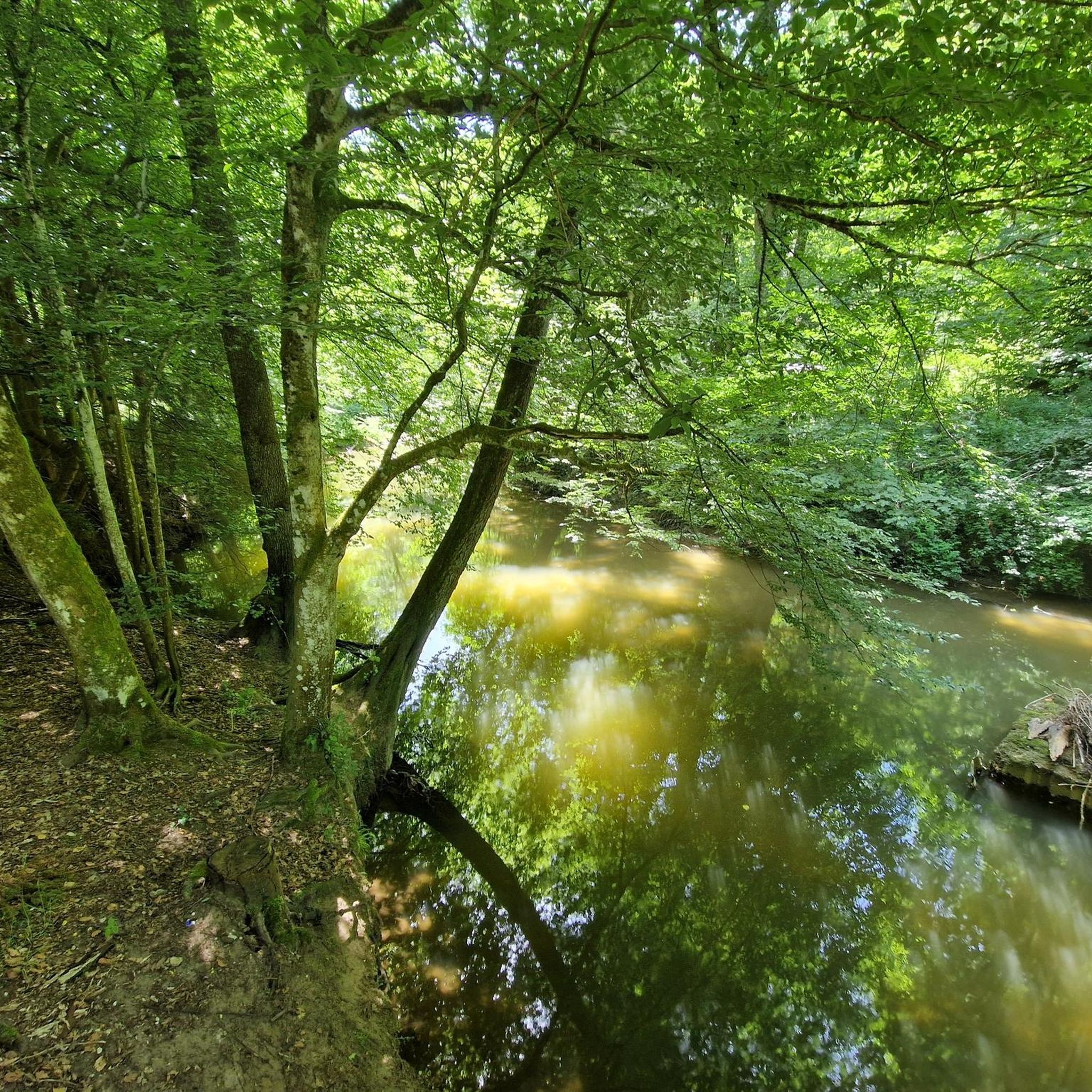
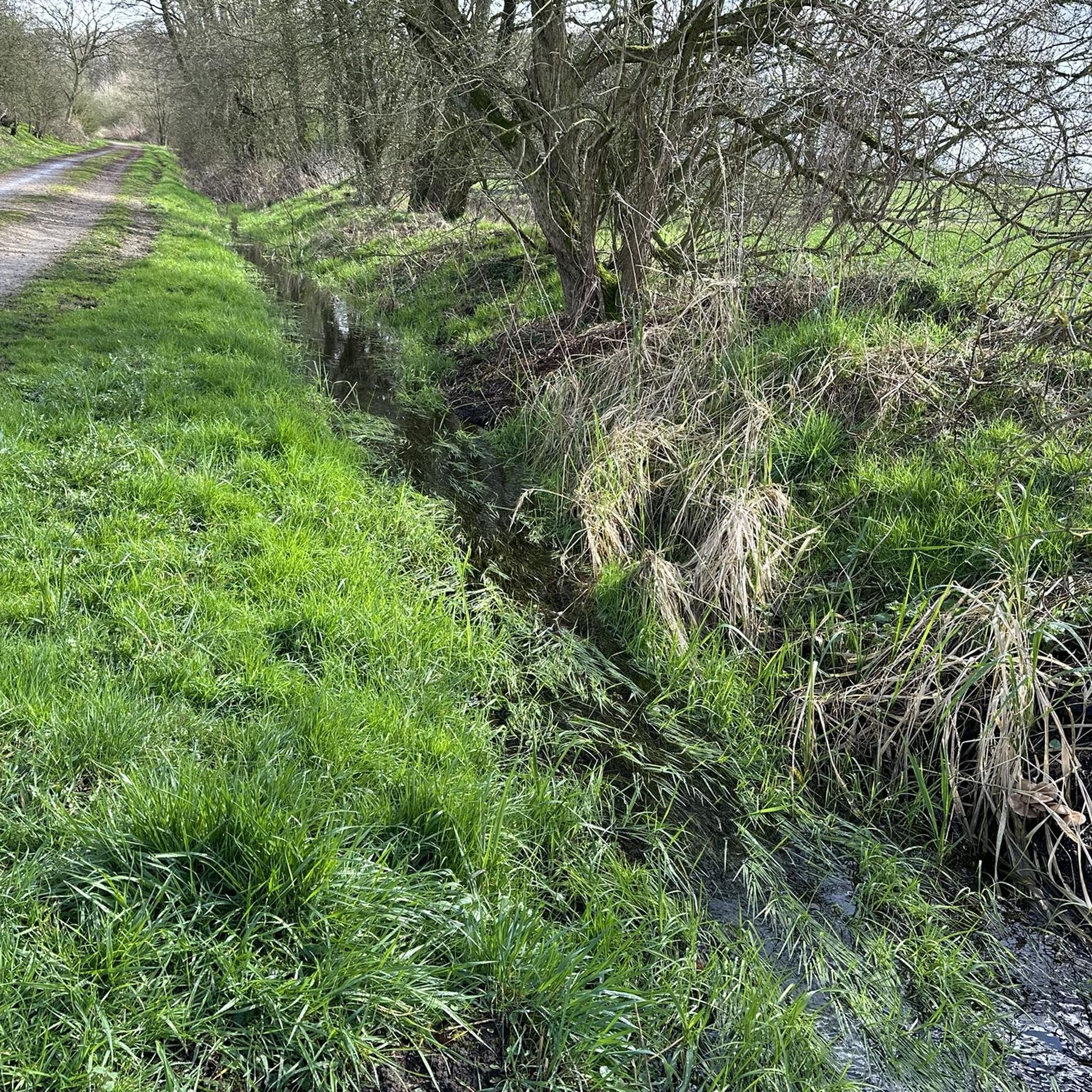
Beautiful spot on the Glinder Au - here the Glinder Au makes a small bend.
0
0
Frequently Asked Questions
How many hiking trails are available around Oststeinbek?
There are over 20 hiking routes available around Oststeinbek, catering to various preferences and skill levels. The area offers a diverse range of trails, from easy strolls to more moderate hikes.
What kind of natural landscapes can I expect to see while hiking in Oststeinbek?
Hiking in Oststeinbek allows you to experience a landscape of gentle rolling hills, interspersed green spaces, and numerous lakes and forests. A significant natural feature is the Glinder Au river, along which many scenic paths can be found. The region is part of the 'rolling landscape of the Hamburger Ring'.
Are there any family-friendly hiking options in Oststeinbek?
Yes, many trails around Oststeinbek are suitable for families. For an easy and accessible option, consider the Hiking loop from Oststeinbek, which is 3.4 miles (5.5 km) long and leads through local green spaces, often completed in about 1 hour 25 minutes.
Are there dog-friendly hiking trails in Oststeinbek?
Absolutely. Oststeinbek is welcoming to hikers with dogs. The Bench at the Signpost – Dog Meadow loop from Oststeinbek is a great choice, specifically designed with a dog meadow in mind, offering a 4.5-mile (7.2 km) easy route for you and your canine companion.
What are some easy hiking trails for beginners or those looking for a relaxed walk?
For an easy and relaxed experience, the View Toward Stapelfeld – Bench by the Path loop from Boberger Niederung is an excellent choice. This 3.0-mile (4.8 km) path explores diverse landscapes near Boberger Niederung and is rated as easy. Another easy option is the Steinfurth's Dike loop from Oststeinbek, which is 2.4 miles (3.9 km) long.
What do other hikers say about the trails in Oststeinbek?
The hiking routes in Oststeinbek are highly regarded by the komoot community, holding an average rating of 4.5 stars from nearly 3,000 reviews. Hikers often praise the well-maintained paths, the peaceful natural surroundings, and the variety of landscapes, especially along the Glinder Au river.
Are there any circular hiking routes in Oststeinbek?
Yes, many of the trails around Oststeinbek are circular, making them convenient for day trips. A popular moderate circular route is the Bench by the Wooden Bridge – Bridge Over the Glinder Au loop from Oststeinbek, which is 4.9 miles (7.8 km) long and follows the Glinder Au river.
What are some interesting natural attractions or landmarks near the hiking trails?
Beyond the trails themselves, you can explore several natural attractions. The region features numerous lakes, such as Eichbaum Lake and Tatenberger Bay. You might also encounter the Holzhafen Nature Reserve or the scenic Eichtal Park, which offers beautiful forest settings.
Are there any gorges or unique geological features to explore?
Yes, nearby you can find the Dalbek Gorge, which offers unique geological features and scenic trails. Highlights include the Dalbek Gorge Wooden Bridges and the Dalbekschlucht Nature Reserve Trails, providing a different kind of hiking experience with more varied terrain.
What is the best time of year to go hiking in Oststeinbek?
Oststeinbek offers pleasant hiking conditions throughout much of the year. Spring and autumn provide mild temperatures and beautiful scenery with blooming flowers or vibrant fall foliage. Summer is also popular, though it can be warmer. Even in winter, many paths remain accessible for a refreshing walk, especially the easier, well-maintained routes.
Is there parking available near the trailheads in Oststeinbek?
Yes, parking is generally available at or near the starting points of many hiking trails in Oststeinbek. Specific parking information can often be found on individual route descriptions on komoot, or by checking local signage upon arrival.
Can I reach the hiking trails in Oststeinbek using public transport?
Oststeinbek is well-connected to Hamburg, and public transport options are available to reach the municipality. From there, many trailheads are accessible, though some might require a short walk or an additional local bus connection. It's advisable to check local bus schedules and routes for specific trail access points.
Most popular routes around Oststeinbek
Most popular attractions around Oststeinbek

Get inspired with the komoot mobile app


Explore more
Browse the best Hikes in other regions.
