The best MTB trails around Ötigheim
4.6
(41)
202
riders
29
rides
Mountain biking around Ötigheim offers diverse terrain at the foot of the northern Black Forest. The region features a mix of green forests, rolling hills, and vineyard landscapes, providing varied elevations for cyclists. Proximity to the Rhine River also allows for flatter routes along the "Rheinaue" nature reserve. This geographical position supports a range of mountain bike trails, from gentle inclines to more demanding ascents.
Best mountain bike trails around Ötigheim
- The most popular mountain bike trail is Ettlingen Old…
Last updated: July 4, 2026
4.6
(9)
49
riders
67.9km
03:48
110m
110m
Moderate mountain bike ride. Good fitness required. Suitable for all skill levels.
4.5
(4)
8
riders
Hard mountain bike ride. Good fitness required. Advanced riding skills necessary. Some portions of the route may require you to push your bike.

Sign up for free
5.0
(1)
8
riders
42.0km
02:24
230m
230m
Moderate mountain bike ride. Good fitness required. Suitable for all skill levels.
4.5
(2)
9
riders
49.7km
03:26
570m
570m
Moderate mountain bike ride. Good fitness required. Suitable for all skill levels.
6
riders
45.3km
02:28
140m
140m
Moderate mountain bike ride. Good fitness required. Suitable for all skill levels.
Get access to more routes and recommendations from other explorers.
Sign up for free
Already have an account?
Our route recommendations are based on thousands of hikes, rides, and runs completed by other people on komoot.
Start today with a free account
Your next adventure awaits.
Login or Signup
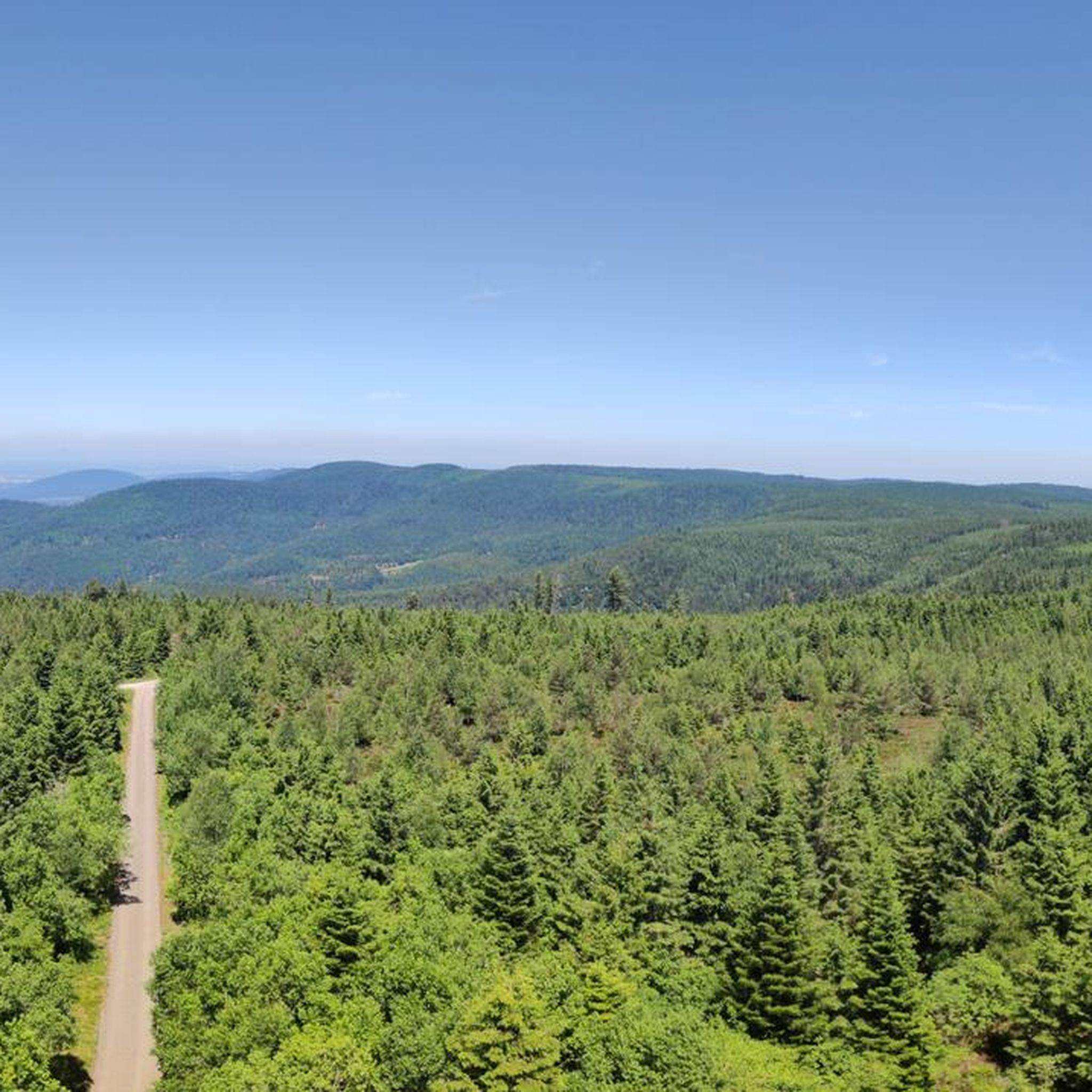
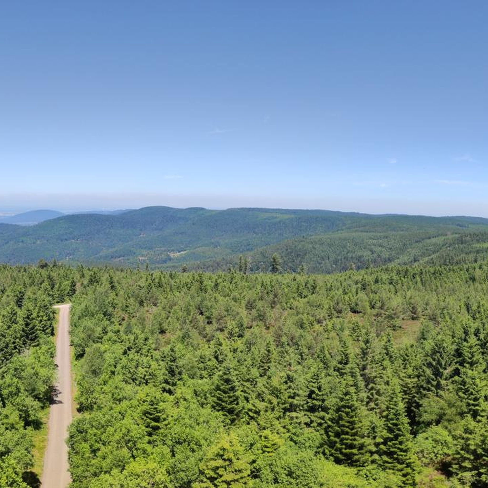
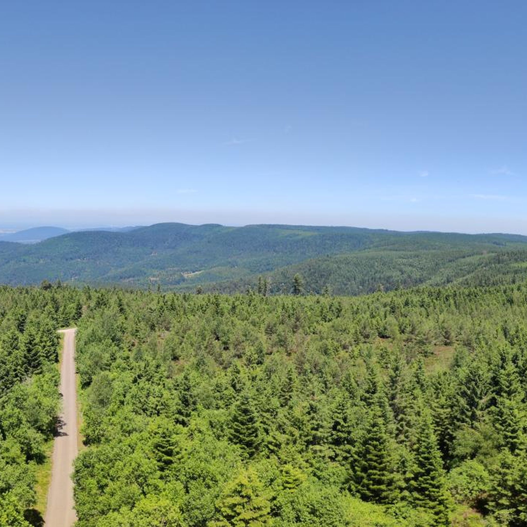
Tips from the Community

The Sauer is a tributary of the Rhine, approximately 70 km long. It originates in the Palatinate Forest near the Franco-German border. On its course, it flows through the Northern Vosges and partly forms the border between Germany and France. It then crosses Alsace before flowing into the Rhine near Munchhausen. The Sauer has a catchment area of about 800 km² and an average discharge of around 6 m³ per second.
0
0
Willow bushes, marshy areas and reeds - the Sauer Delta nature reserve is an unusual landscape! It was declared a nature reserve by ministerial decree in 1997 and 486 ha were protected. From an ornithological, botanical and landscape perspective, it is a truly exceptional area and one of the last regions in France where the Rhine floodwaters can still spread out.
0
0
The "Saletio" cable ferry is unique in its kind. A cable system whose principle consists of using the sole force of the current to move. It connects the two banks Seltz (FR) with Plittersdorf (DE). It can transport 70 passengers, 28 bicycles, and 6 vehicles. Motorhomes and caravans are not allowed on the ferry. The ferry is free.
0
0

Very nice ice cream cafe, with a rich selection - always worth a stop.
0
0

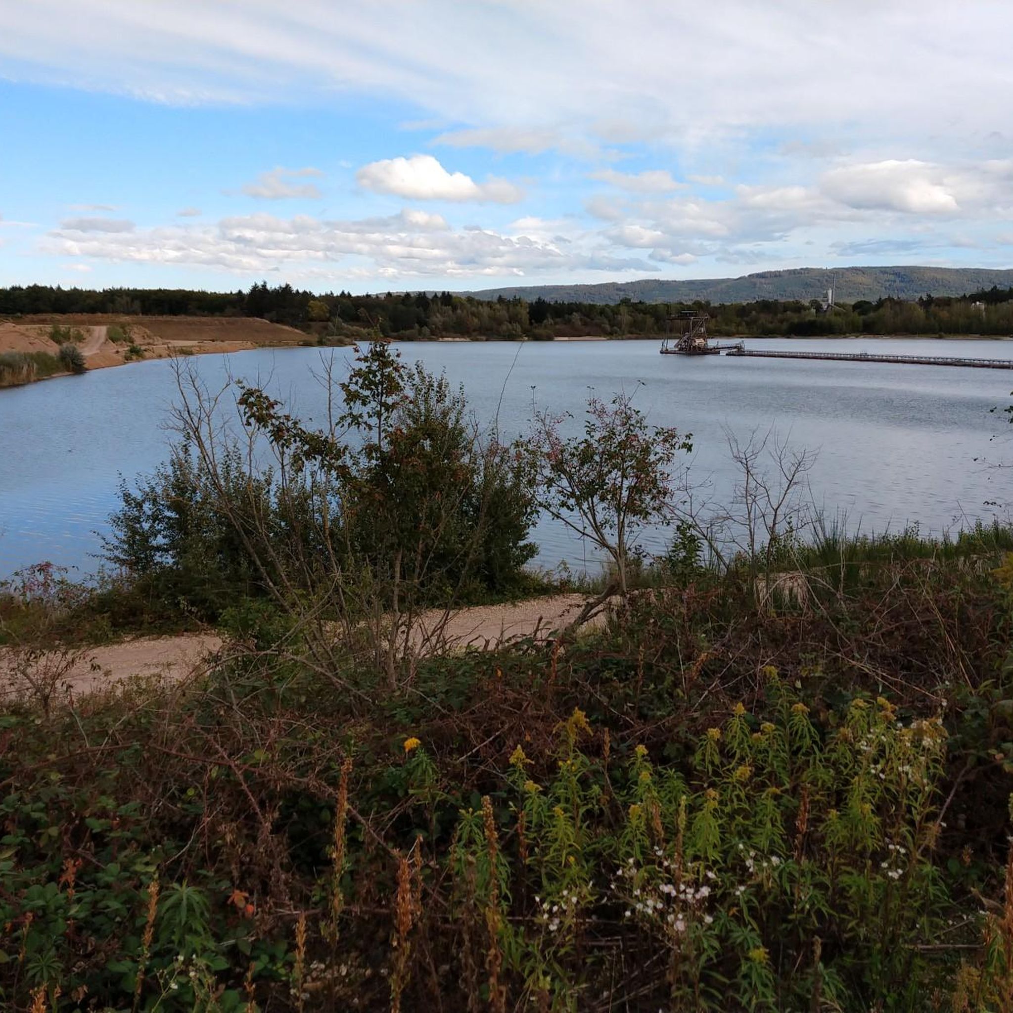
Natural lake with a large sandy beach on the north shore and a small path near the lake on the east side. The lake is used by the local fishing club for fishing. Since 2025, swimming is allowed again in some places.
7
0
The Buchzigsee is a bathing lake managed by Ettlinger Bädern - very nicely laid out, but in principle a somewhat different swimming pool. It is not freely accessible at any point, but is completely fenced off.
6
0


The Old Rhine looks different every day.
0
0
Frequently Asked Questions
How many mountain bike trails are available around Ötigheim?
There are over 20 mountain bike trails around Ötigheim, offering a diverse range of experiences. These include routes through green forests, rolling hills, and vineyard landscapes at the foot of the northern Black Forest.
Are there mountain bike trails suitable for beginners in Ötigheim?
Yes, Ötigheim offers several easy mountain bike trails. For a more relaxed ride, consider routes along the Rhine, such as the Old Rhine in Rastatter Rheinaue – Wilhelm Tell Statue loop from Ötigheim, which is an easy 12.4-mile (19.9 km) path.
What kind of terrain can I expect on mountain bike trails in Ötigheim?
The terrain around Ötigheim is quite varied. You'll find a mix of green forests, rolling hills, and vineyard landscapes, characteristic of the northern Black Forest foothills. Some routes also offer flatter sections along the Rhine River, providing a diverse riding experience.
Are there any challenging mountain bike routes for experienced riders?
Absolutely. For experienced riders seeking a challenge, the region offers routes with significant elevation changes. A difficult option is the Ettlingen Old Town and Castle – Wooden Bridge Over the Stream loop from Ötigheim, a 27.6-mile (44.4 km) trail with varied terrain.
Can I find circular mountain bike routes in Ötigheim?
Yes, many mountain bike routes around Ötigheim are designed as loops. For example, the Lochmühlen Spring – Viewpoint on Lärchenweg loop from Ötigheim is a moderate 26.1-mile (42.0 km) circular path that takes you through forested areas with scenic views.
What are some scenic viewpoints or attractions along the mountain bike trails?
Many trails offer beautiful views, especially through the vineyards on the Murghang. You might also encounter historical sites like Favorite Palace Park or the Rastatt Palace. The View of the River Murg – Roman House loop from Ötigheim provides excellent views of the River Murg.
What do other mountain bikers say about the trails in Ötigheim?
The mountain bike trails in Ötigheim are highly regarded by the komoot community, with an average rating of 4.5 out of 5 stars from over 20 reviews. Riders often praise the diverse terrain, scenic beauty, and the well-maintained network of paths.
Are there any family-friendly mountain bike options in the area?
While specific family-friendly mountain bike routes are not highlighted, the region's easy trails along the Rhine or through less challenging forest paths could be suitable. The Favorite Palace Park and the Ötigheim Forest Nature Trail offer relaxing settings for families to enjoy the outdoors.
Can I bring my dog on the mountain bike trails in Ötigheim?
Many forest and nature trails in the region are generally dog-friendly, but it's always advisable to keep dogs on a leash, especially in nature reserves like the Rheinaue, and to respect local regulations. Always ensure your dog is well-behaved and doesn't disturb wildlife or other trail users.
What is the best season for mountain biking in Ötigheim?
The spring and autumn months are generally ideal for mountain biking in Ötigheim, offering pleasant temperatures and vibrant landscapes. Summer can also be great, especially for rides along the Rhine, while winter might offer unique experiences on cleared paths, though some trails could be less accessible due to weather conditions.
Are there places to eat or drink after a mountain bike tour in Ötigheim?
Ötigheim and its surrounding towns offer various cafes and restaurants where you can refuel after your ride. You'll find options ranging from traditional German cuisine to lighter fare, perfect for relaxing and enjoying the local hospitality.
Are there any trails that pass by water features or rivers?
Yes, the region's proximity to the Rhine River means several trails run alongside or near it. The Auer Altrhein – Muggensturm Animal Enclosure loop from Ötigheim, for instance, explores areas near the Old Rhine, offering views of the water and the Rheinaue nature reserve.
Most popular attractions around Ötigheim

Get inspired with the komoot mobile app


Explore more
Browse the best MTB trails in other regions.
