The best road cycling routes around Breheimen
5.0
(14)
515
riders
16
rides
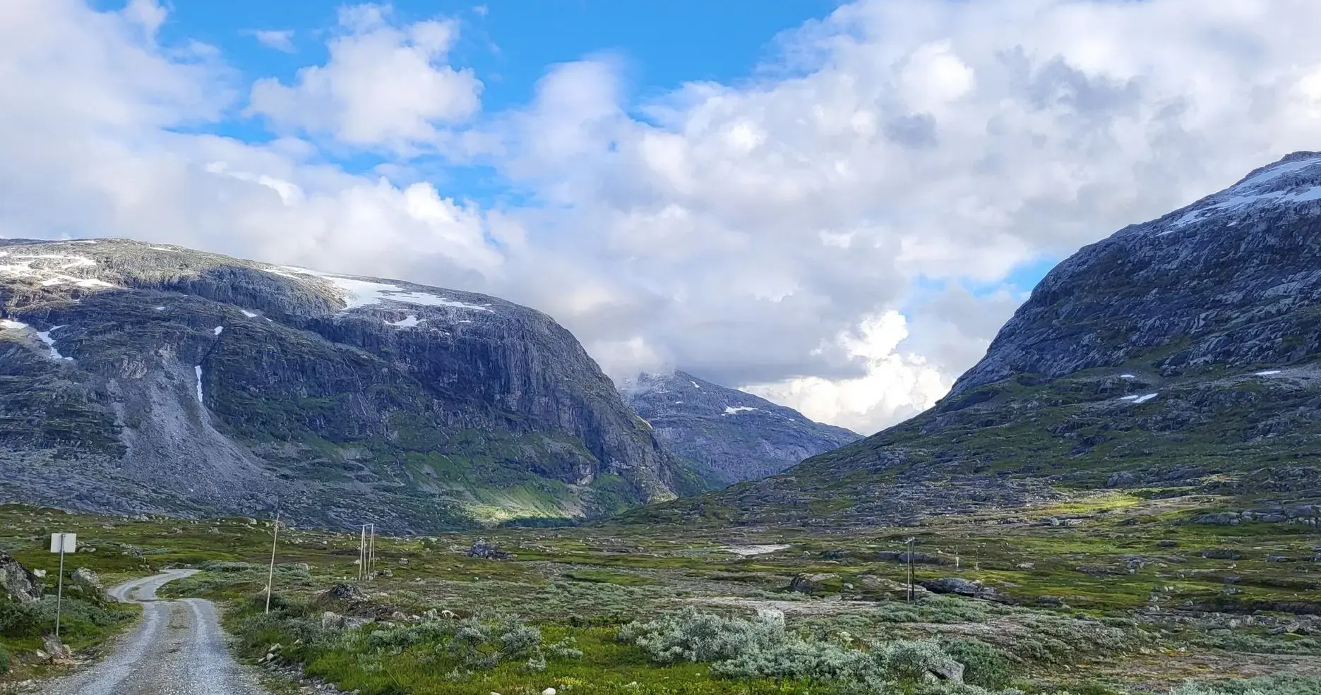
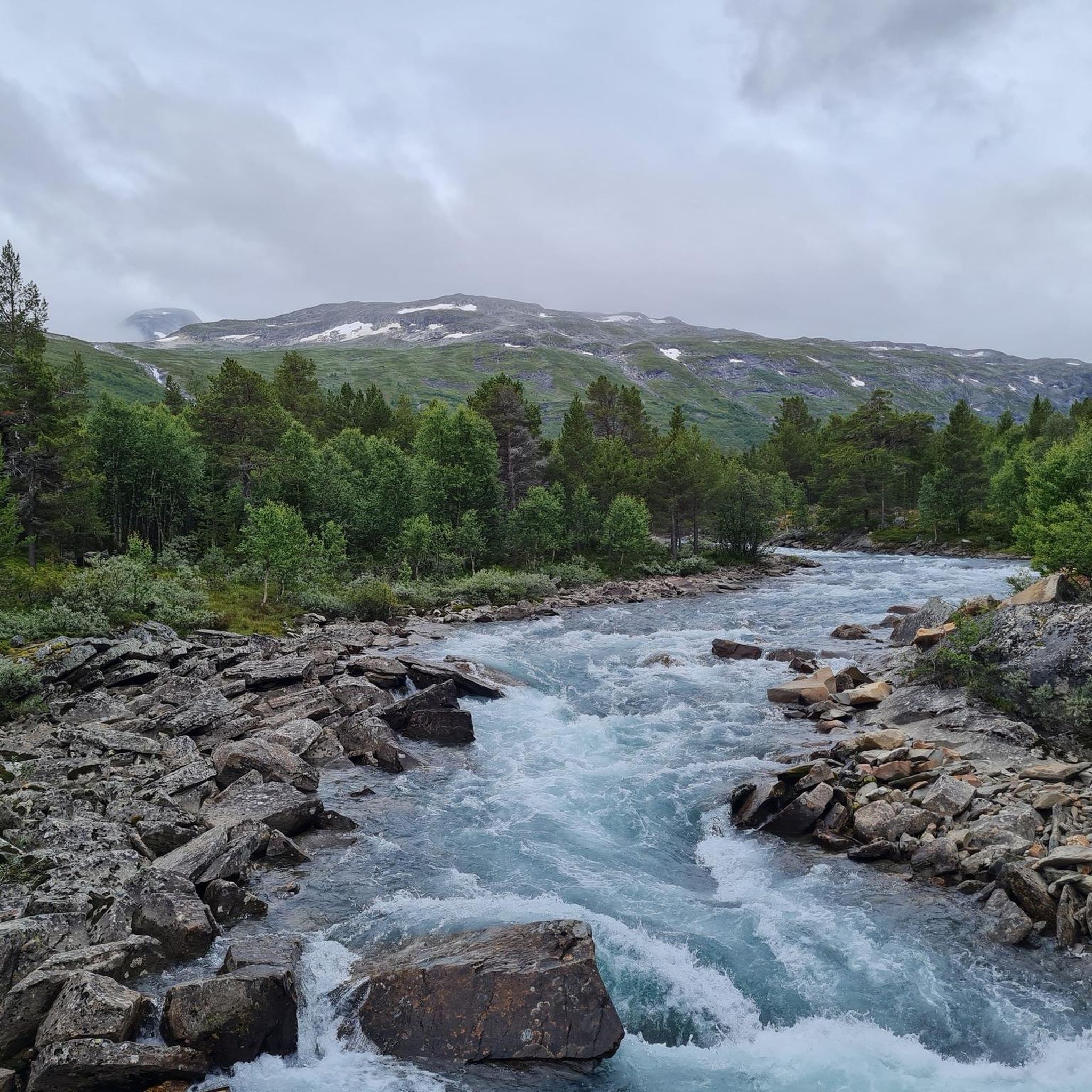
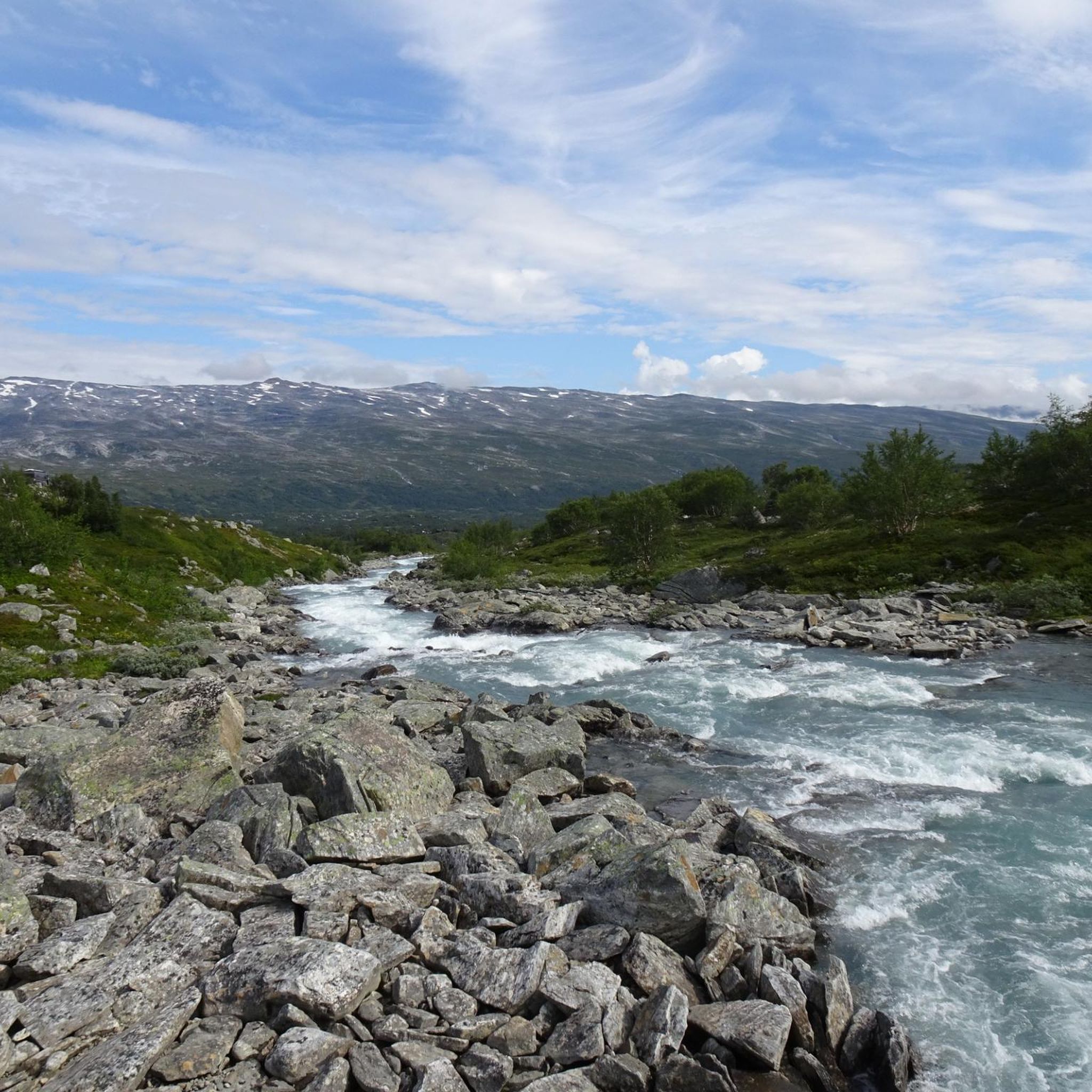
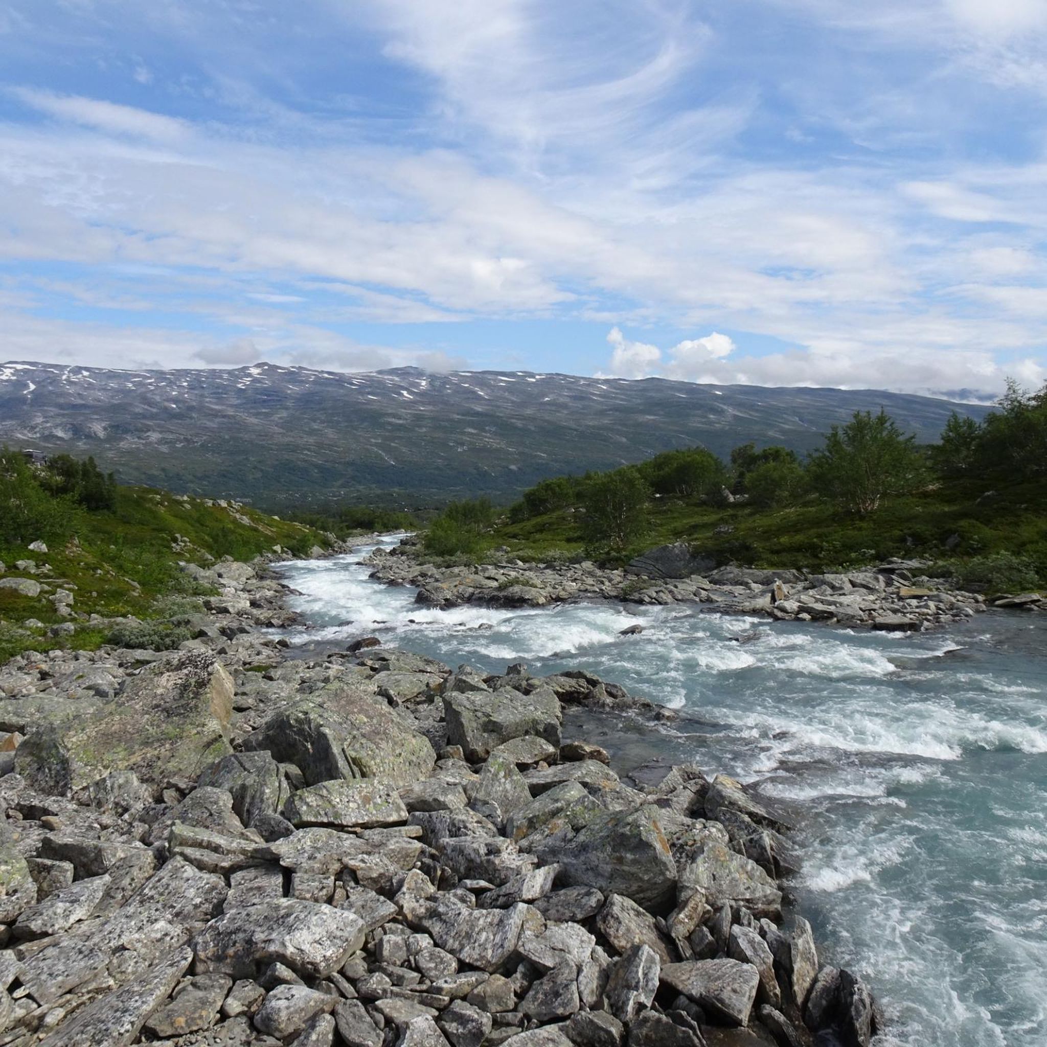
Road cycling around Breheimen offers diverse terrain shaped by glacial activity, ranging from lush valleys to high mountain plateaus and towering peaks. The region is characterized by extensive glacial systems, including outlet glaciers from the Jostedalsbreen ice cap, which have carved dramatic U-shaped valleys, moraines, and glacial lakes. Numerous rivers and waterfalls cascade through the landscape, enhancing the scenic beauty for cyclists. This varied topography provides a wide array of road cycling experiences, from challenging ascents to more moderate routes.
…Last updated: July 14, 2026
5.0
(9)
176
riders
57.9km
03:45
1,720m
1,720m
Hard road ride. Very good fitness required. Mostly well-paved surfaces and easy to ride.
55
riders
66.9km
04:06
1,790m
1,790m
Hard road ride. Very good fitness required. Mostly well-paved surfaces and easy to ride.

Sign up for free
6
riders
24.3km
01:25
570m
570m
Moderate road ride. Good fitness required. Mostly well-paved surfaces and easy to ride.
5.0
(1)
34
riders
27.8km
02:22
1,290m
1,290m
Hard road ride. Very good fitness required. Mostly well-paved surfaces and easy to ride.
23
riders
74.7km
04:05
1,380m
1,380m
Hard road ride. Very good fitness required. Mostly well-paved surfaces and easy to ride.
Get access to more routes and recommendations from other explorers.
Sign up for free
Already have an account?
Our route recommendations are based on thousands of hikes, rides, and runs completed by other people on komoot.
Start today with a free account
Your next adventure awaits.
Login or Signup
Other adventures around Breheimen

Tips from the Community

Partly busy, quite a few souvenir shops 🤙
0
1

The Fjordsenter is both a tourist information center and a museum, and offers a modern exhibition with lots of interesting information about the Geirangerfjord, its nature and the history of the place.
3
0
Wonderful view of the breathtaking landscape!
3
0
The Knuten (German: Knoten, meaning knot) is a former road loop that spanned a change in elevation. The bridge was built without mortar from natural stone and still stands today. In modern times, a shorter and wider road was driven through the rock next to it, rendering the Knuten obsolete and leaving it as a historical relic. It's worth making a short stop here to admire this ancient engineering, especially since this "lost place" in the middle of nature has a special charm.
3
0

Great views of Geiranger, the Geirangelva River, and the fjord. The center has a café, restrooms, and a museum.
0
0

A breathtaking scenery with snow in midsummer. The highest point is the Fantesteinen. In midsummer (late June), you can even still see cross-country skiers – so it's still very cool to cold.
0
0

Geiranger Camping, a beautifully situated campsite in Geiranger.
0
1

Very interesting
0
0
Frequently Asked Questions
How many road cycling routes are available in Breheimen?
Breheimen offers a diverse selection of road cycling routes. You can find over 15 routes, catering to various skill levels, from moderate loops to challenging mountain climbs.
What are the difficulty levels of road cycling routes in Breheimen?
The routes in Breheimen present a range of challenges. There is 1 easy route, 6 moderate routes, and 9 difficult routes, ensuring options for different abilities and fitness levels.
What kind of terrain can I expect when road cycling in Breheimen?
Breheimen's terrain is incredibly diverse, shaped by glacial activity. You'll encounter everything from lush, green valleys to barren mountain plateaus, soaring peaks, and active glaciers. The western part features rugged, steep mountains and deep valleys, while the eastern section is gentler. This variation offers challenging ascents and more leisurely stretches, all with stunning backdrops.
Are there any particularly scenic roads for cycling in Breheimen?
Absolutely. The historic Gamle Strynefjellsvegen, or 'Old Strynefjell Road,' is highly recommended for its beautiful blue lakes and impressive mountains. The region also features national tourist routes like the Rv. 15 over Strynefjellet and the Fv. 55 over Sognefjellet, both known for their breathtaking views and access to the national park's periphery.
What natural attractions can I see along the road cycling routes in Breheimen?
Breheimen is rich in natural beauty. You can expect to see extensive glacial systems, U-shaped valleys, moraines, and glacial lakes. Numerous rivers and waterfalls cascade down mountainsides, adding to the scenic charm. Specific highlights include the stunning Sottjønnin and Åsetevatnet lakes, and the dramatic landscapes around Gamle Strynefjellsvegen.
Are there loop routes available for road cycling in Breheimen?
Yes, Breheimen offers several excellent loop routes. A popular choice is the Stavbrekkleiva – Storskreda loop from Langvatn, a challenging 45.9 km ride with views of glacial formations. Another option is the Sognefjellshytta – Tindevegen Trailhead Parking loop from Sognefjellshytta, which traverses high mountain passes.
What is the best season for road cycling in Breheimen?
The best season for road cycling in Breheimen is typically during the warmer months, from late spring to early autumn, when mountain passes are clear of snow and weather conditions are more stable. This allows access to the higher elevation routes and ensures the most enjoyable experience of the region's diverse landscapes.
Can I find family-friendly paved cycling routes in Breheimen?
While many routes in Breheimen involve challenging mountain terrain, some sections of the national tourist routes or valley roads may offer more accessible, paved stretches suitable for families. It's advisable to check individual route details for elevation profiles and surface types to ensure they meet your family's needs.
How can I access Breheimen for road cycling using public transport?
Breheimen National Park is situated between major scenic roads like the Rv. 15 over the Strynefjellet mountains and the Fv. 55 over the Sognefjellet mountains. These routes serve as access points, and while direct public transport into the park's core might be limited, regional bus services often operate along these main roads, allowing cyclists to reach starting points or connect between areas. Checking local bus schedules for the specific season is recommended.
Are there places to stop for refreshments or cafes along the road cycling routes?
Along some of the more established national tourist routes and in the valleys surrounding Breheimen, you may find opportunities for refreshments. Areas like Sognefjellet and Strynefjellet, which are popular with travelers, often have mountain lodges, cafes, or small shops. For routes in more remote areas, it's always best to carry sufficient supplies.
What do other road cyclists enjoy most about cycling in Breheimen?
Road cyclists highly rate their experiences in Breheimen, with an average score of 5.0 stars from over 9 reviews on komoot. They often praise the dramatic glacial landscapes, the diverse valleys, and the majestic peaks. The opportunity to cycle along scenic national tourist routes, experiencing both challenging climbs and breathtaking vistas, is a recurring highlight.
Is there parking available for cyclists at trailheads in Breheimen?
Yes, for many popular road cycling routes and access points around Breheimen, you can find designated parking areas. For instance, routes like the Sognefjellshytta – Tindevegen Trailhead Parking loop explicitly mention trailhead parking. It's always a good idea to verify parking availability for your chosen starting point.
Most popular routes around Breheimen
Most popular attractions around Breheimen

Get inspired with the komoot mobile app


Explore more
Browse the best Road cycling routes in other regions.
