The best MTB trails around Parco naturale regionale delle Prealpi Giulie
4.3
(2468)
14,391
riders
159
rides
Mountain biking around Parco naturale regionale delle Prealpi Giulie offers diverse terrain across its 12,000 hectares, characterized by dramatic peaks, deep valleys, and lush forests. The park's unique position at the convergence of Mediterranean, Illyrian, and Alpine biogeographic areas contributes to varied landscapes suitable for mountain biking. Riders can navigate trails that wind through alpine meadows, past crystal-clear waters, and along river gorges. The region features high dolomite peaks, some exceeding 2,500 meters, alongside extensive beech forests and traditional mountain…
Last updated: October 9, 2026
4.3
(3)
11
riders
18.2km
02:17
600m
600m
Hard mountain bike ride. Good fitness required. Advanced riding skills necessary. Some portions of the route may require you to push your bike.
4
riders
33.8km
03:27
1,150m
1,150m
Hard mountain bike ride. Very good fitness required. Advanced riding skills necessary. Some portions of the route may require you to push your bike.

4.1
(29)
89
riders
25.9km
02:50
930m
930m
Embark on the Sella Sagata and Val Resia Loop, a challenging mountain biking adventure that takes you through the dramatic alpine environment of the Western Julian Alps. This difficult route…
4.6
(7)
49
riders
21.3km
02:29
870m
870m
Hard mountain bike ride. Good fitness required. Advanced riding skills necessary. Some portions of the route may require you to push your bike.
5.0
(3)
15
riders
11.1km
01:53
990m
980m
Hard mountain bike ride. Very good fitness required. Advanced riding skills necessary. Some portions of the route may require you to push your bike.
Get access to more routes and recommendations from other explorers.
Already have an account?
Our route recommendations are based on thousands of hikes, rides, and runs completed by other people on komoot.
Start today with a free account
Your next adventure awaits.
Popular around Parco naturale regionale delle Prealpi Giulie
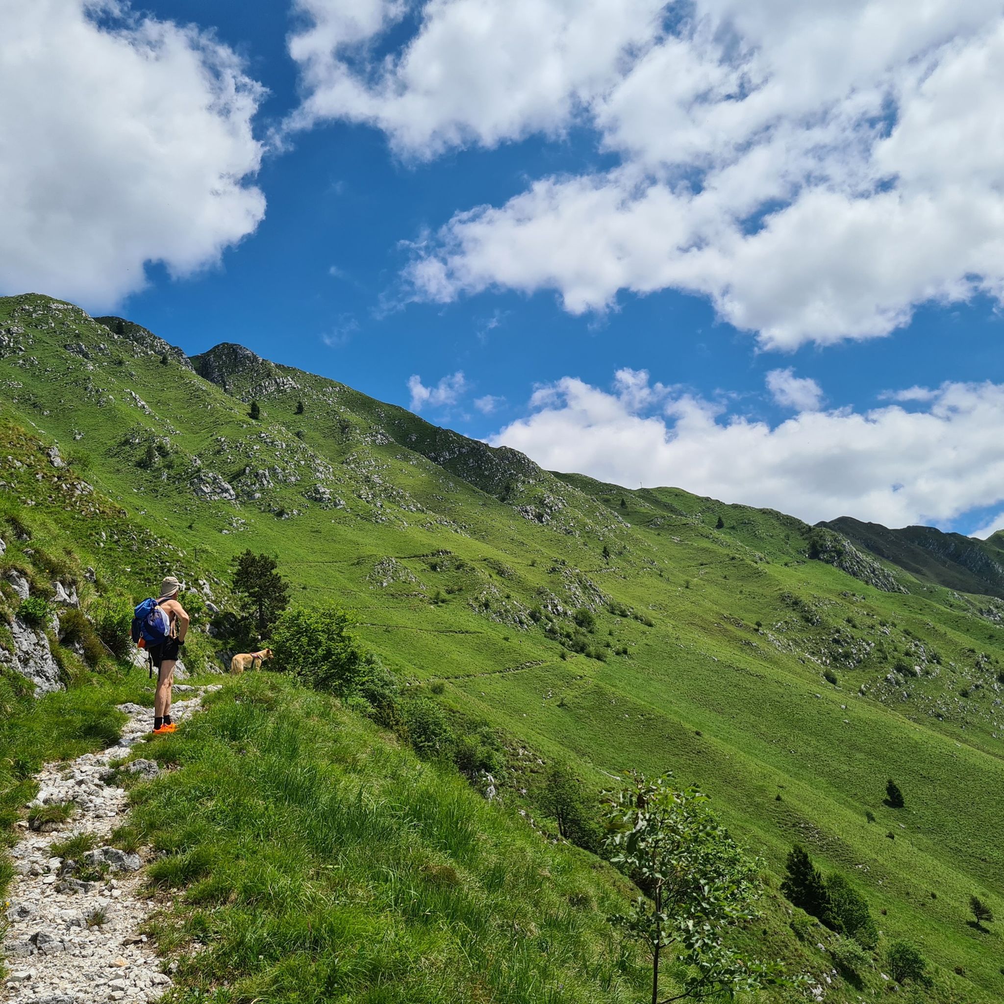
Hiking around Parco naturale regionale delle Prealpi Giulie
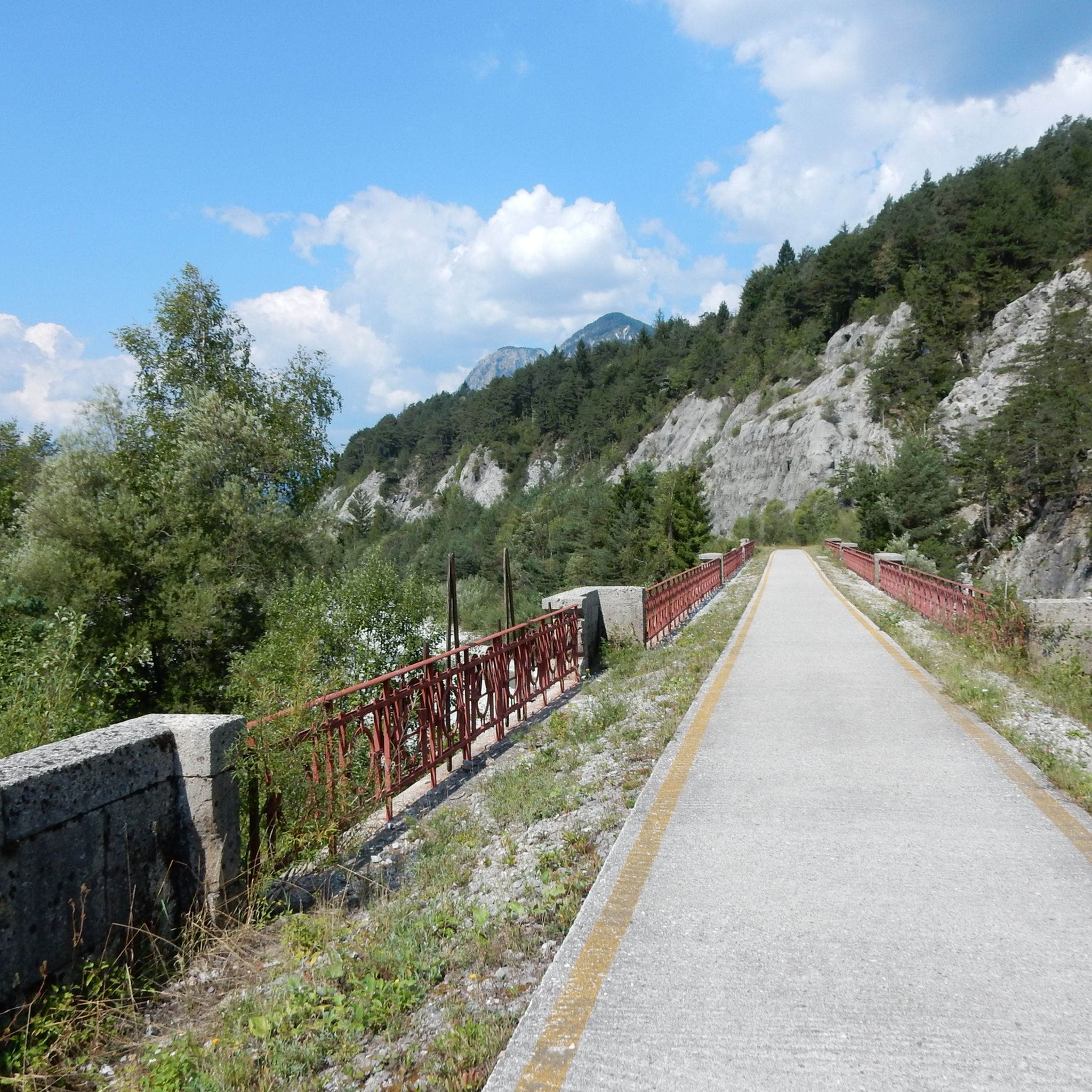
Road Cycling Routes around Parco naturale regionale delle Prealpi Giulie
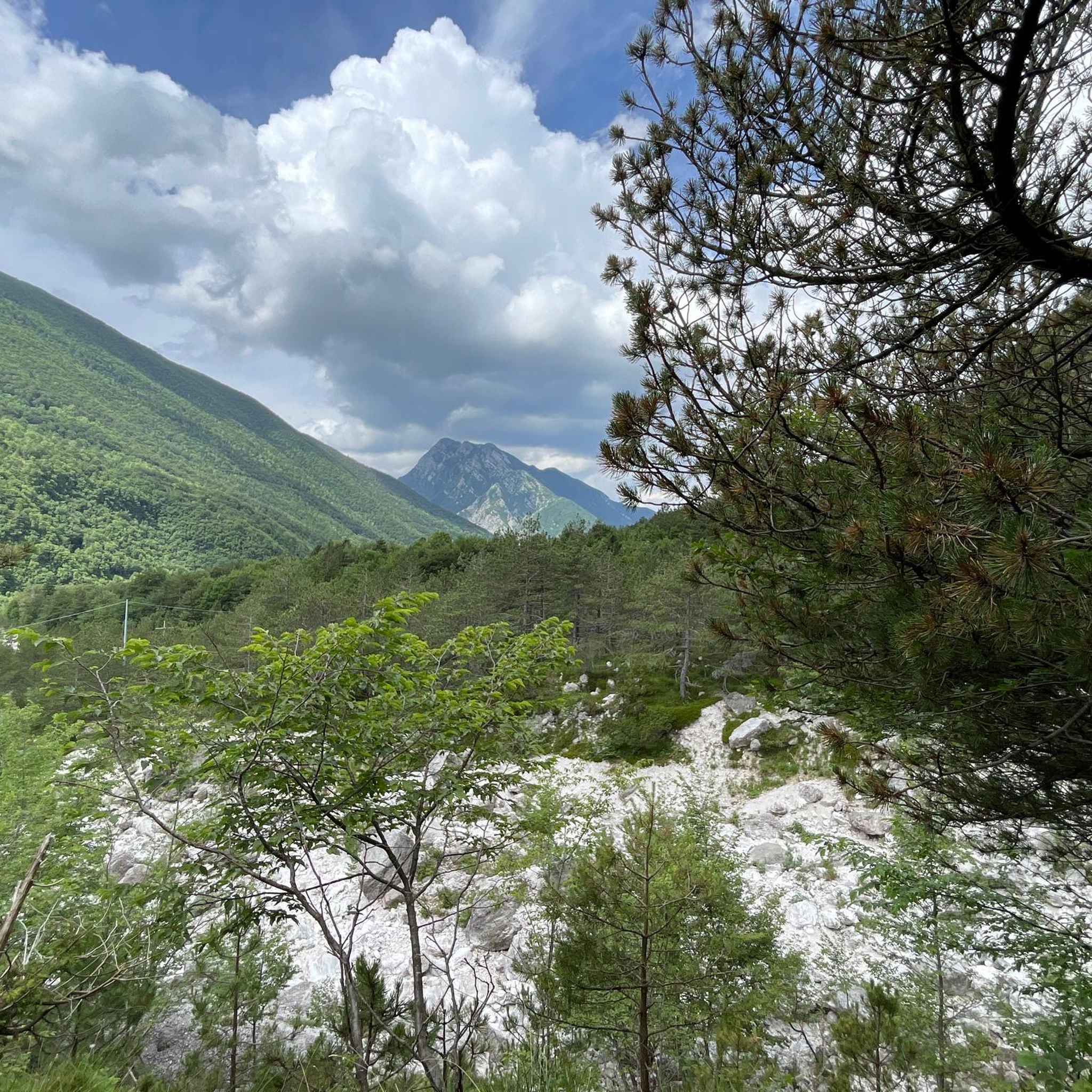
Cycling around Parco naturale regionale delle Prealpi Giulie
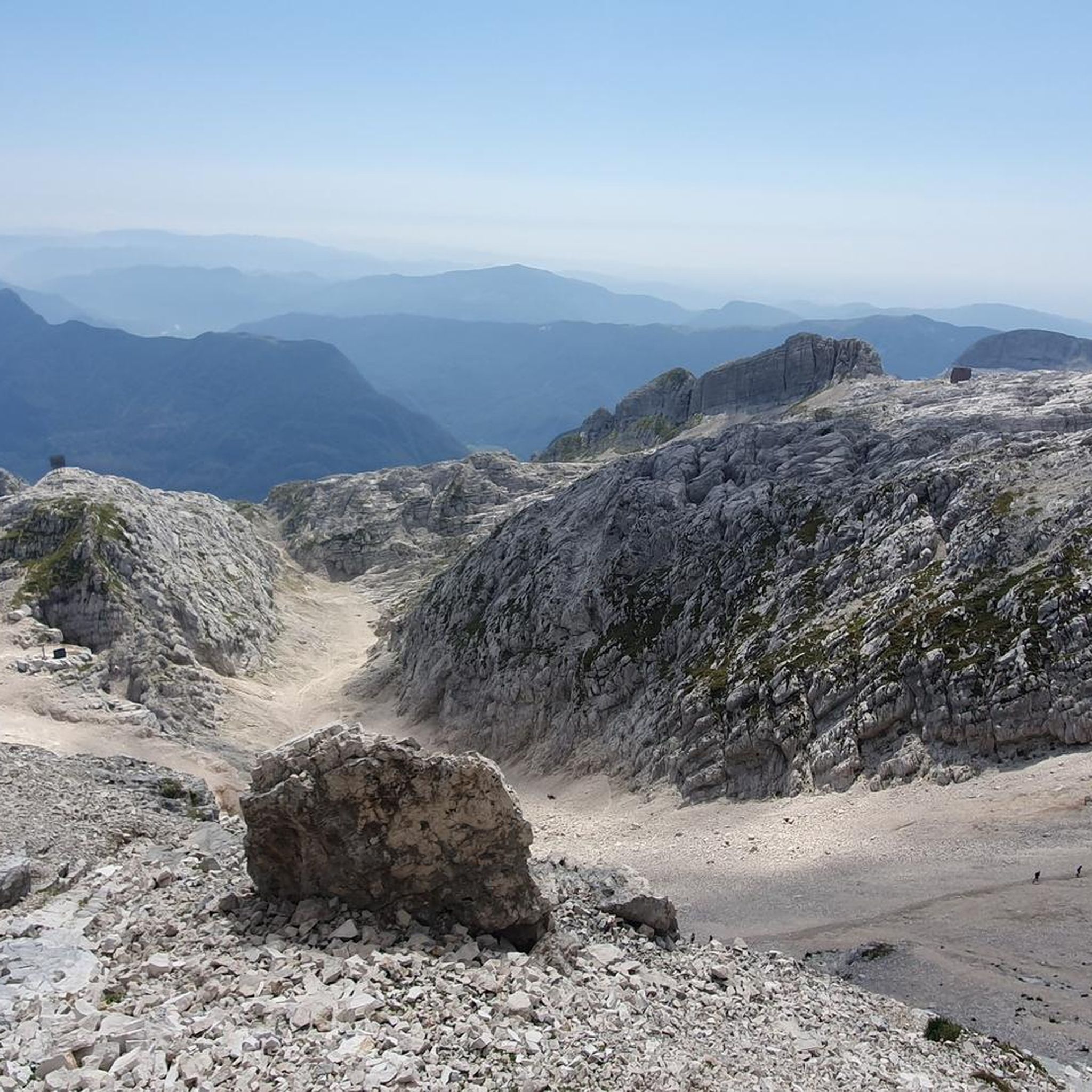
Running Trails around Parco naturale regionale delle Prealpi Giulie

Mountain Hikes around Parco naturale regionale delle Prealpi Giulie
Gravel biking around Parco naturale regionale delle Prealpi Giulie
Tips from the Community

A stop is definitely worth it here. Cozy to eat or just have a drink in an old railway carriage. In nice weather, perhaps it's better to be outside.
0
0

As a bypass for a section of the FVG1 on the state road, it is quite suitable. The trucks thunder mightily past the cyclists there. You don't have this problem on the dirt road.
0
0

Small village on a plateau before the saddle height of Sella Carnizza with several places to eat.
0
0

Super beautiful cycle path, highly recommended
3
0

The Nischiuarch Alpine Hut is located in a beautiful grassy valley west of the mountain of the same name. Located at just under 1,200 meters above sea level, it is a convenient base at the eastern end of the long Musi mountain range. Completely renovated, the hut consists of two buildings: the one that is always open has a ground-floor room with a stove, table, bench, and adjoining cellar, while upstairs there are a couple of bed frames with mattresses. It can be reached from S. Anna di Carnizza in about an hour, or via CAI trail no. 739, Passo Tanamea, in the municipality of Lusevera, S.S. 646, in about an hour and a half. Useful Information - Water: Non-potable, but available depending on seasonal weather conditions - Beds: 6 - Wood-burning stove, some dishes, small pantry with basic necessities - Firewood: A small supply is available at the facility or easily found in the surrounding woods The facility also has 14 additional beds in the area reserved for recognized institutions and associations. Keys can be requested by emailing info@parcoprealpigiulie.it Shelters are a valuable asset to our area, providing hikers with a valuable base for trekking. When using them, it is important not to leave any traces of your presence, so we recommend: - Do not leave food easily accessible to mice and other animals; - Clean common areas; - Take all waste down to the valley. This facility is always open and unmanaged; maintenance is handled by the Park Authority with the essential contribution of local volunteers and all users! More info at: https://www.parcoprealpigiulie.it/it/principale/attivita/ricoveri-montani/ricovero-casera-nischiuarch
0
0
ATTENTION Hikers are advised that the Franz Shelter in the municipality of Venzone will be closed until the ongoing extraordinary maintenance work is completed! The Franz Shelter is located in the Cuel de Frate area. It is a modest but well-equipped structure, complete with a stove, tables, and a bench. It can be easily reached via the CAI trail no. 701 from Tugliezzo in just over an hour. Alternatively, it can be reached on foot via the forest road (closed to vehicles) that ends right next to the shelter, also starting from Tugliezzo. It is a popular destination in all seasons as a starting point for hikes to Mount Plauris or the Cjariguart Valley. Beds: 4 Water: non-potable, but available depending on seasonal weather conditions. It is always open and unmanaged. Maintenance is handled by the Park Authority with the essential contribution of local volunteers and all users! More info at: https://www.parcoprealpigiulie.it/it/principale/attivita/ricoveri-montani/ricovero-franz
1
0
Frequently Asked Questions
How many mountain bike trails are available in Parco naturale regionale delle Prealpi Giulie?
There are over 150 mountain bike trails in Parco naturale regionale delle Prealpi Giulie. These routes cater to various skill levels, with 16 easy, 46 moderate, and 89 difficult options, ensuring a suitable ride for every mountain biker.
What kind of natural features can I expect to see while mountain biking in the park?
The park is rich in natural beauty, offering dramatic peaks, deep valleys, and lush forests. You can expect to encounter crystal-clear waters, springs, and spectacular waterfalls like the Fontanone di Goriuda. The Fonda Lakes, two glacial lakes, also provide idyllic scenery. The diverse topography includes high dolomite peaks, some exceeding 2,500 meters, alongside extensive beech forests.
Are there any family-friendly mountain bike trails in Parco naturale regionale delle Prealpi Giulie?
Yes, the park offers 16 easy mountain bike trails that are generally suitable for families. These routes provide a gentler introduction to the park's beautiful landscapes, allowing for an enjoyable experience for riders of varying ages and abilities.
Can I bring my dog on the mountain bike trails?
While the park is generally welcoming to visitors, specific regulations regarding dogs on mountain bike trails can vary. It's always best to check with the park's official visitor centers or information points for the most current guidelines on bringing dogs, especially concerning protected wildlife areas.
What is the best time of year for mountain biking in Parco naturale regionale delle Prealpi Giulie?
The park's environment transforms with the seasons. Spring and autumn generally offer pleasant temperatures and stunning scenery, with blooming heather in spring and vibrant foliage in autumn. Summer provides warmer conditions, while winter can bring snow to higher elevations, making some trails inaccessible. Always check local conditions before heading out.
Are there any circular mountain bike routes available?
Yes, many routes in the park are designed as loops. For example, the challenging Sella Sagata and Val Resia Loop explores the scenic Val Resia, and the Monte Stivane e Monte Sflincis – giro ad anello da Resiutta offers a loop through mountainous landscapes.
What do other mountain bikers say about the trails in Parco naturale regionale delle Prealpi Giulie?
The mountain bike routes in Parco naturale regionale delle Prealpi Giulie are highly rated by the komoot community, with an average score of 4.4 stars from over 2,100 reviews. Riders often praise the diverse terrain, from challenging climbs to exhilarating downhills, and the breathtaking natural beauty of the Julian Prealps.
Are there any notable landmarks or points of interest along the mountain bike routes?
Yes, several points of interest can be found. You might pass by traditional mountain buildings known as 'stavoli' or explore areas like the Uccea Valley. Notable shelters include the Elio Franz Shelter and Casera Nischiuarch Shelter. The Carnizza Saddle also offers scenic views.
Is there parking available at the trailheads?
While specific parking information for every trailhead isn't detailed, the park is equipped with visitor centers and information points, which typically have designated parking areas. For popular starting points like Resia / Rezija or Musi, you can generally find suitable parking to access the trails.
Are there accommodations or places to eat near the mountain biking areas?
The Parco Naturale Regionale delle Prealpi Giulie offers various options for visitors, including agritourisms, guesthouses, mountain shelters, refuges, and bivouacs for resting and overnight stays. You can also find cafes and restaurants in the nearby towns and villages surrounding the park.
What is the typical difficulty level of mountain bike trails in this region?
The trails in Parco naturale regionale delle Prealpi Giulie range from easy to difficult. The majority of routes are classified as difficult (89 trails), with a significant number of moderate options (46 trails), and a smaller selection of easy trails (16 trails). This variety ensures that both experienced riders and those seeking a more relaxed pace can find suitable challenges.
Are there any long-distance mountain bike routes in the park?
Yes, for those looking for longer rides, routes like the Fella River Railway Bridge – Old Railway Path loop from Resiutta / Resiute cover over 100 km, offering an extensive journey through the park's diverse landscapes.
Most popular routes around Parco naturale regionale delle Prealpi Giulie
Most popular attractions around Parco naturale regionale delle Prealpi Giulie

Get inspired with the komoot mobile app


Explore more
Browse the best MTB trails in other regions.
