The best road cycling routes around Park of the Cento Laghi
4.7
(34)
726
riders
38
rides
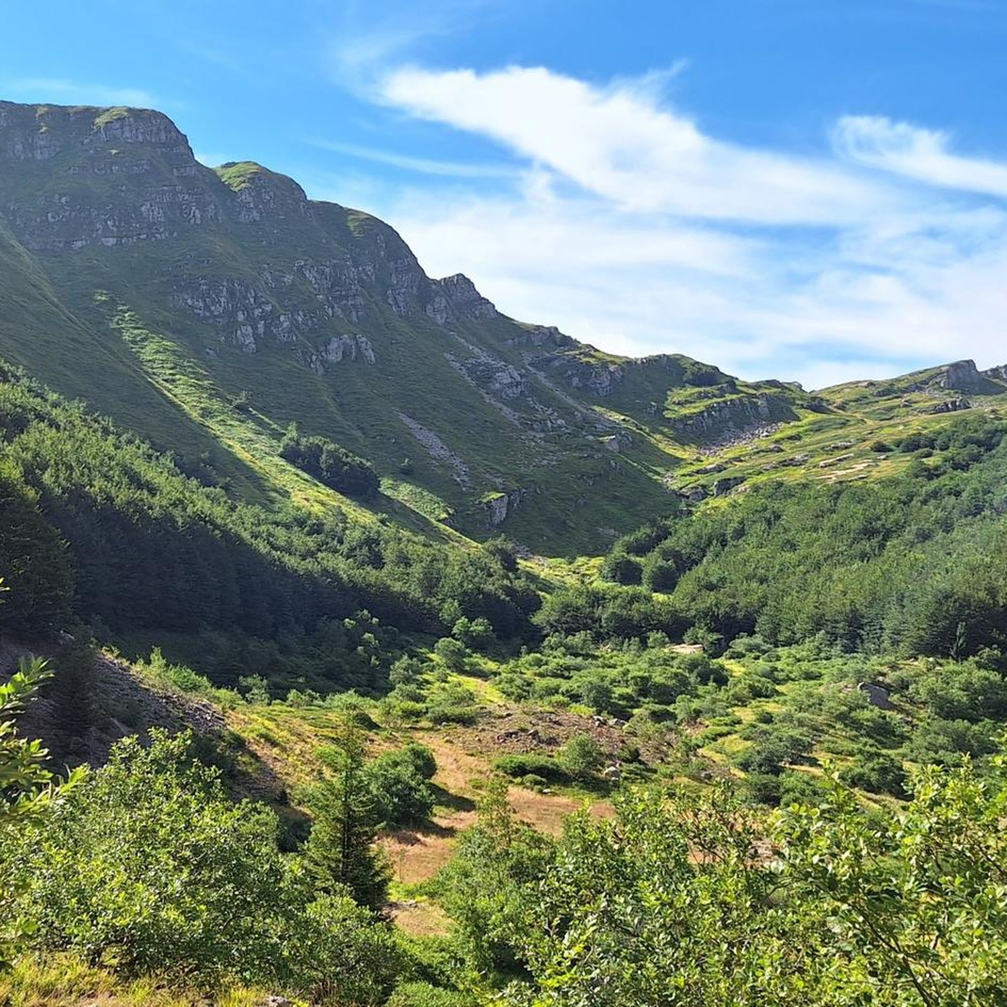
Road cycling around Park of the Cento Laghi offers diverse terrain within the Parma Apennines, characterized by landscapes shaped by ancient glaciers. The region features numerous glacial lakes, extensive beech woods, and varied altitudinal zones, providing a range of environments for cyclists. Mountain peaks, such as Monte Sillara, contribute to significant elevation changes, ensuring challenging climbs and descents on paved roads. This varied topography makes the Park of the Cento Laghi a compelling destination for road cyclists seeking diverse routes.
…Last updated: October 3, 2026
5.0
(1)
28
riders
63.0km
03:51
1,720m
1,720m
Hard road ride. Very good fitness required. Mostly well-paved surfaces and easy to ride.
5.0
(1)
9
riders
41.4km
02:30
970m
970m
Hard road ride. Very good fitness required. Some segments of this route may be unpaved and difficult to ride.

7
riders
126km
07:34
3,220m
3,220m
Hard road ride. Very good fitness required. Some segments of this route may be unpaved and difficult to ride.
5
riders
53.3km
03:15
1,360m
1,360m
Hard road ride. Very good fitness required. Some segments of this route may be unpaved and difficult to ride.
4.7
(3)
9
riders
29.6km
02:02
810m
810m
Moderate road ride. Good fitness required. Mostly well-paved surfaces and easy to ride.
Get access to more routes and recommendations from other explorers.
Already have an account?
Our route recommendations are based on thousands of hikes, rides, and runs completed by other people on komoot.
Start today with a free account
Your next adventure awaits.
Popular around Park of the Cento Laghi
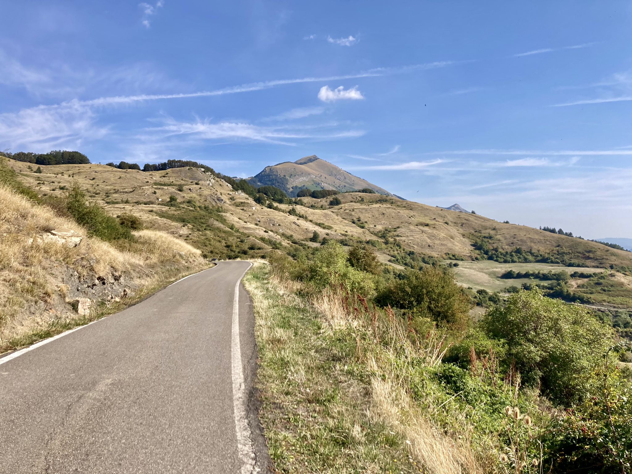
Apperò l'Appennino – five days of Italy's Emilian climbs

Berceto to Abetone – Alta Via dei Parchi (part 1)
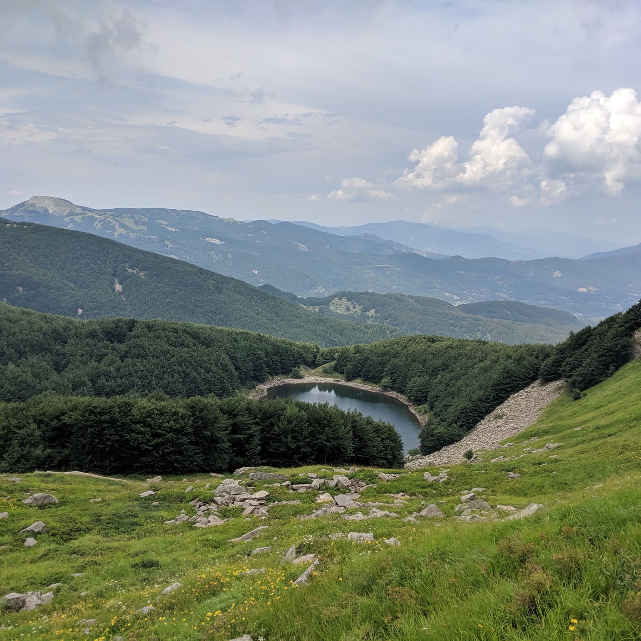
Hiking around Park of the Cento Laghi
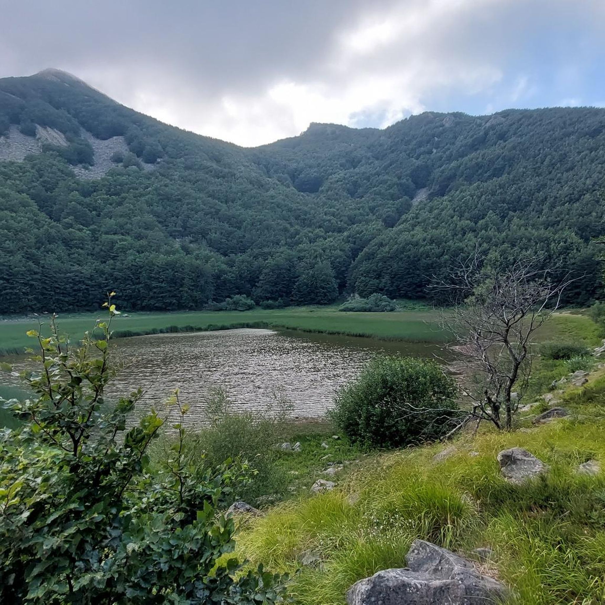
Running Trails around Park of the Cento Laghi
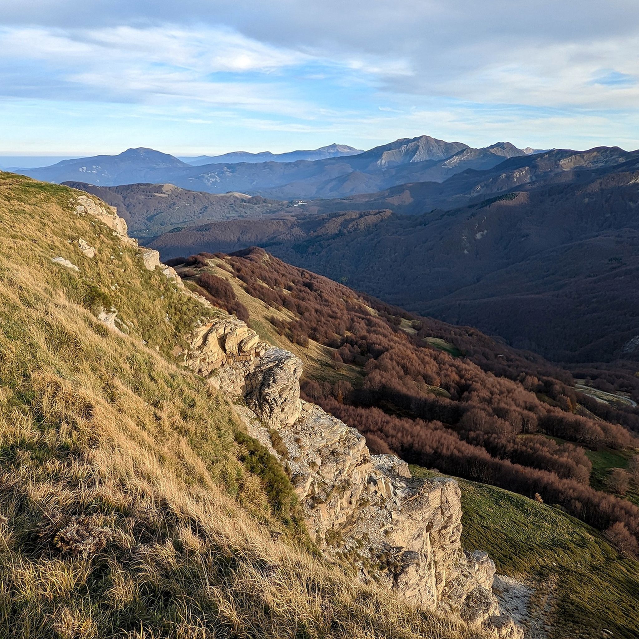
MTB Trails around Park of the Cento Laghi
Cycling around Park of the Cento Laghi
Mountain Hikes around Park of the Cento Laghi
Other adventures around Park of the Cento Laghi

Tips from the Community

Beautiful view of the Prinzera, there is a fountain nearby
0
0

The Castello di Corniglio is a historic medieval defensive structure located on a rocky spur at an altitude of 700 meters in the municipality of Corniglio, in the province of Parma. Built entirely of sandstone, it stands in a strategic position at the confluence of the Alta Val Parma and Val Bratica to historically control access to the Apennine valleys.
0
0
Cassio is a hamlet in the municipality of Terenzo, located in the Parma Apennines. It is a place particularly known for historical, naturalistic, and tourist reasons. The village stands along the ancient route of the Via Francigena (the old Strada Romea). It represents a very famous resting stop for pilgrims walking between Fornovo and Berceto, and is equipped with hostels and refreshment points. It is a classic medieval village characterized by a stone-paved urban layout and flanked by ancient historic buildings. The site is also listed among the FAI's Places of the Heart.
0
0


During the Appennino bike tour, a short detour is necessary to enter the historic center of the town. But it is absolutely worth it.
3
0
The Passo della Cisa is a mountain pass in the Tuscan-Emilian Apennines, located at 1,041 meters above sea level, which serves as the geographical and historical border between the provinces of Parma (Emilia-Romagna) and Massa-Carrara (Tuscany). It formally separates the Ligurian Apennines from the Tuscan-Emilian Apennines, connecting the upper Val di Taro with Lunigiana. Strada Statale 62: The SS 62 della Cisa is the historic panoramic road that crosses the pass, famous among motorcyclists and cyclists for its hairpin bends and evocative views. Slopes: The Tuscan side from Pontremoli is 18 km long with slopes up to 8.5%, while the Emilian side from Ghiare di Berceto measures approximately 19.6 km with slopes up to 8%.
1
0

Definitely to do, fantastic road
1
0

A must-see when passing through Calestano
0
0
Frequently Asked Questions
How many road cycling routes are available in the Park of the Cento Laghi?
There are over 45 road cycling routes available in the Park of the Cento Laghi, offering a wide range of distances and elevation profiles. These routes are highly rated by the komoot community, with an average score of 4.9 stars.
What kind of terrain can I expect when road cycling in the Park of the Cento Laghi?
The Park of the Cento Laghi, located in the Parma Apennines, features diverse terrain shaped by ancient glaciers. You can expect challenging climbs and exhilarating descents through varied landscapes, including extensive beech woods, meadows, pastures, and past numerous glacial lakes. Higher altitudes offer rocky terrain and panoramic views from peaks like Monte Sillara.
What is the best time of year for road cycling in the Park of the Cento Laghi?
The best time for road cycling in the Park of the Cento Laghi is generally from late spring through early autumn. During these months, the weather is more stable, and mountain passes are typically clear of snow, allowing access to the full range of routes and scenic high-altitude areas.
Are there routes suitable for less experienced road cyclists?
While many routes in the Park of the Cento Laghi feature significant elevation gain, there are options for varying abilities. Approximately half of the routes are rated as moderate, offering a good balance of challenge and accessibility. For example, the Castello di Corniglio – Lagdei loop from Agna is a moderate route with varied landscapes.
What natural features or landmarks can I see along the road cycling routes?
The park is renowned for its glacial lakes and mountain peaks. Along your rides, you might encounter stunning features such as Mount Sillara, the highest point in Parma province, or the serene Lago Verde Dam and Lake Ballano. The region's diverse altitudinal zones also mean you'll pass through lush beech woods and open pastures.
Are there any significant mountain peaks I might encounter or view?
Yes, the Park of the Cento Laghi is home to several prominent peaks that offer breathtaking panoramic views. You can expect to see or even cycle near Mount Sillara (1861 m), Mount Caio (1584 m), Monte Navert, and Monte Torricella, often referred to as 'natural balconies' due to their expansive vistas.
Are the road cycling routes primarily on paved roads?
Yes, the road cycling routes in the Park of the Cento Laghi are designed for road bikes, meaning they primarily follow paved roads. These include scenic routes that wind through forests and past lakes, as well as roads connecting ancient villages, ensuring a smooth surface for your ride.
Is public transport available to reach the Park of the Cento Laghi for cyclists?
Public transport options to the more remote areas of the Park of the Cento Laghi can be limited, especially for transporting bicycles. It's advisable to check local bus schedules and policies regarding bike transport in advance. Many cyclists prefer to drive to a starting point within the park and begin their ride from there.
Where can I find parking for road cycling routes in the Park of the Cento Laghi?
Parking is generally available in or near the villages and towns that serve as common starting points for routes, such as Agna or Cancelli. Look for designated parking areas in these locations, which often provide convenient access to the trailheads.
Are there places to stop for refreshments or accommodation along the routes?
Yes, the park's routes often connect ancient villages, offering opportunities for cultural stops and to experience local gastronomy. You'll find cafes, restaurants, and accommodation options in these villages, allowing you to refuel and rest. Some routes, like the 'Itinerary of the hamlets,' are specifically designed to highlight these cultural and culinary experiences.
Are there family-friendly road cycling options in the Park of the Cento Laghi?
While many routes involve significant climbs, some sections or shorter loops in the lower and intermediate altitudinal zones might be suitable for families with older children or those comfortable with varied terrain. It's recommended to review the elevation profiles and distances of moderate routes, such as the Monte Caio Loop from Tizzano, to determine suitability for your family.
Can I bring my dog on road cycling routes in the Park of the Cento Laghi?
Dogs are generally welcome in the Park of the Cento Laghi, but specific regulations apply, especially within protected areas. When cycling, ensure your dog is kept on a leash and that you adhere to any local signage regarding pet access. Always carry water for your dog and be mindful of other park users.
Are there any circular road cycling routes in the park?
Yes, many of the road cycling routes in the Park of the Cento Laghi are designed as loops, allowing you to start and finish in the same location. Examples include the popular Castello di Corniglio – Lagdei loop from Agna and the challenging Passo del Cirone – Duomo di Berceto loop from Cancelli.
Most popular routes around Park of the Cento Laghi
Most popular attractions around Park of the Cento Laghi

Get inspired with the komoot mobile app


Explore more
Browse the best Road cycling routes in other regions.
