The best MTB trails in Fuentes Carrionas Y Fuente Cobre - Montaña Palentina
4.5
(23)
149
riders
28
rides
Mountain biking in Fuentes Carrionas Y Fuente Cobre - Montaña Palentina offers diverse terrain within the Cantabrian Mountains. The region features dramatic peaks, deep glacial valleys, and extensive forests of birch, beech, and oak. Riders encounter varied landscapes, from the steep, rocky slopes of the Carrión River valley to softer, forested areas around the Pisuerga River. This natural park provides a network of mountain bike trails across its rugged topography.
Best mountain bike trails in Fuentes Carrionas Y Fuente Cobre…
Last updated: October 24, 2026
4.8
(4)
35
riders
41.5km
03:58
620m
620m
Hard mountain bike ride. Good fitness required. Advanced riding skills necessary. Some portions of the route may require you to push your bike.
3.3
(3)
5
riders
39.8km
04:07
1,160m
1,160m

3
riders
39.6km
04:23
1,240m
1,240m
Hard mountain bike ride. Very good fitness required. Advanced riding skills necessary.
4.0
(1)
1
riders
37.8km
04:22
1,360m
1,360m
Hard mountain bike ride. Very good fitness required. Advanced riding skills necessary.
4
riders
Moderate mountain bike ride. Good fitness required.
Get access to more routes and recommendations from other explorers.
Already have an account?
Our route recommendations are based on thousands of hikes, rides, and runs completed by other people on komoot.
Start today with a free account
Your next adventure awaits.
Popular around Fuentes Carrionas Y Fuente Cobre - Montaña Palentina
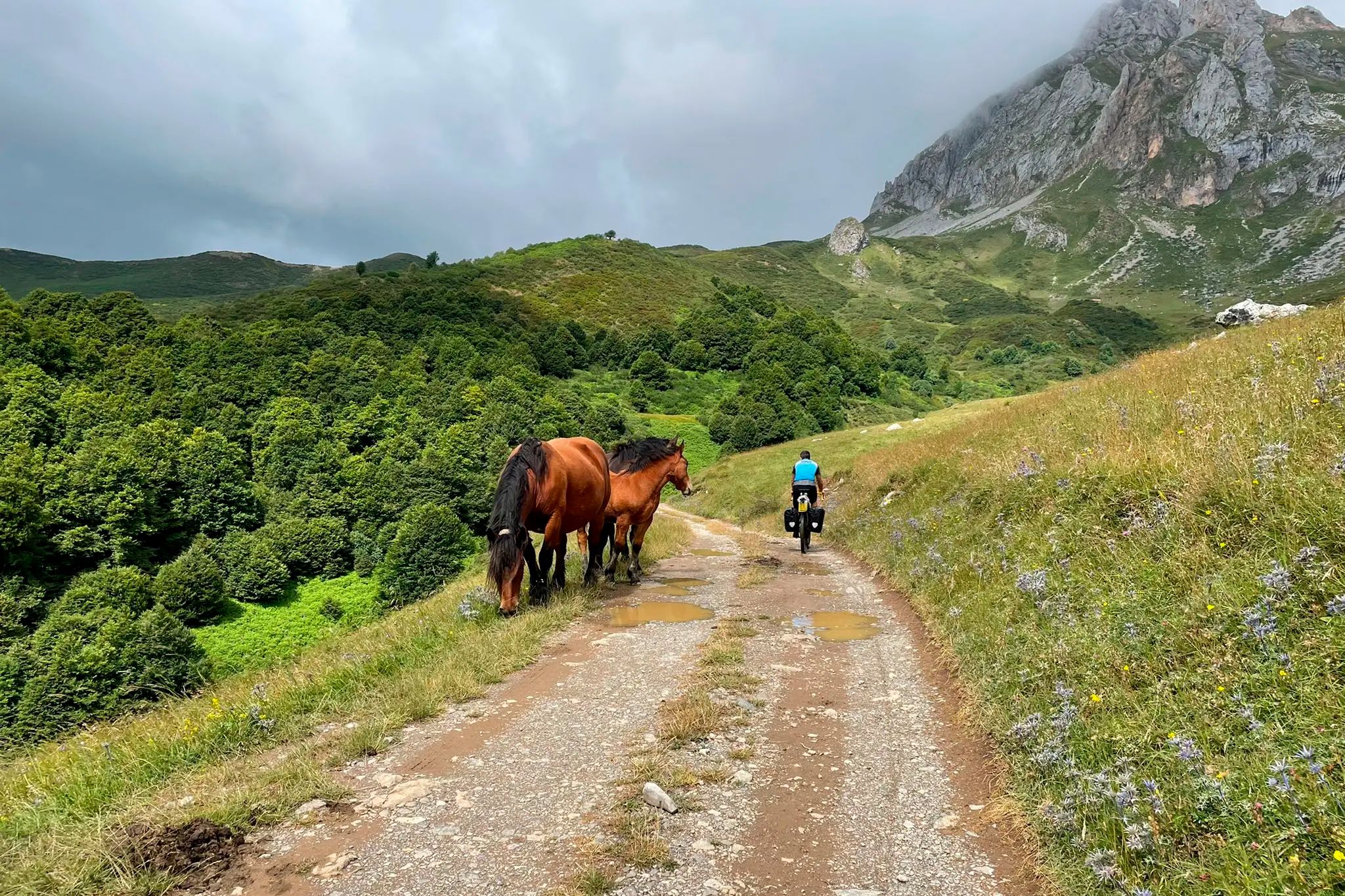
TransCantabrica – Extreme mountain biking in northern Spain
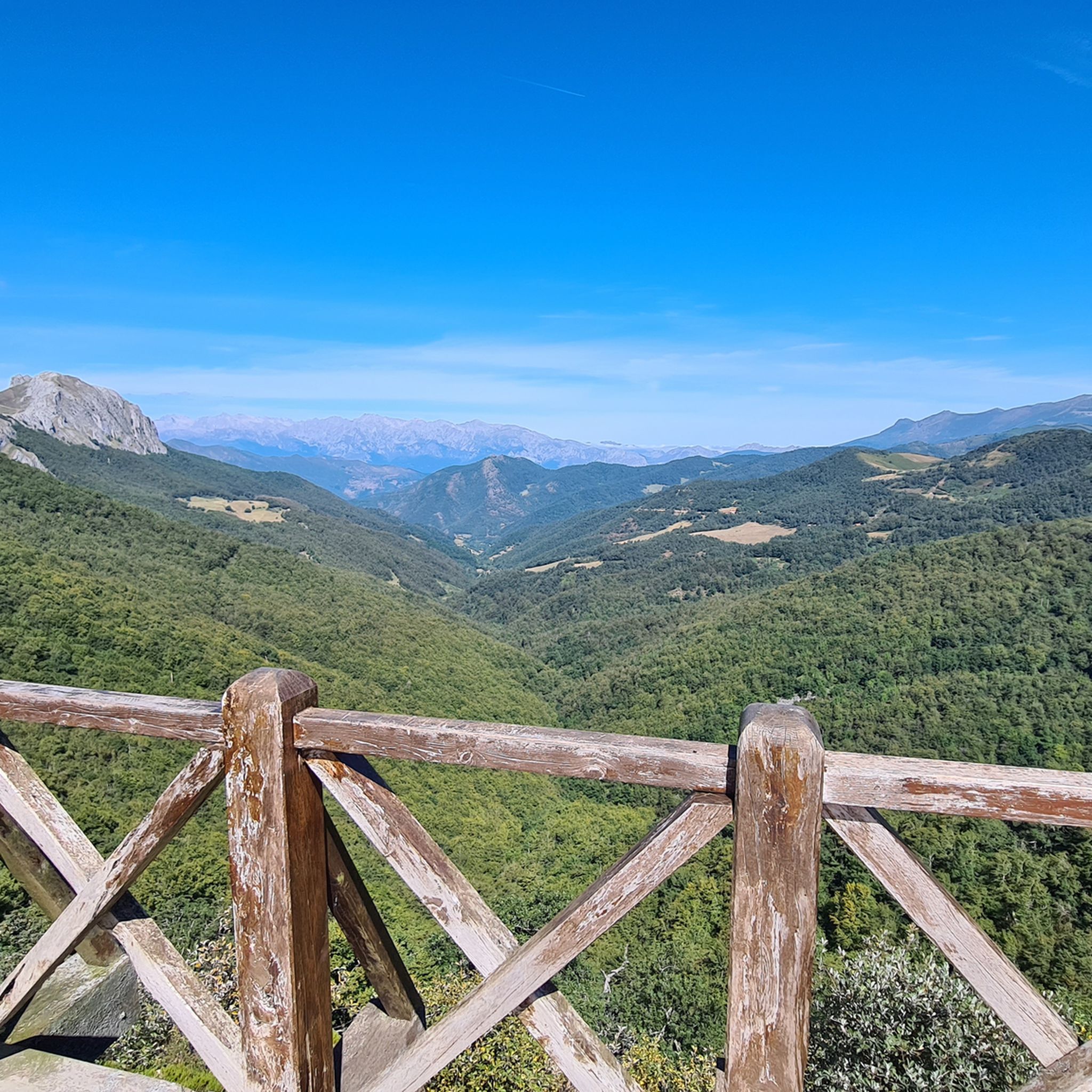
Hiking in Fuentes Carrionas Y Fuente Cobre - Montaña Palentina
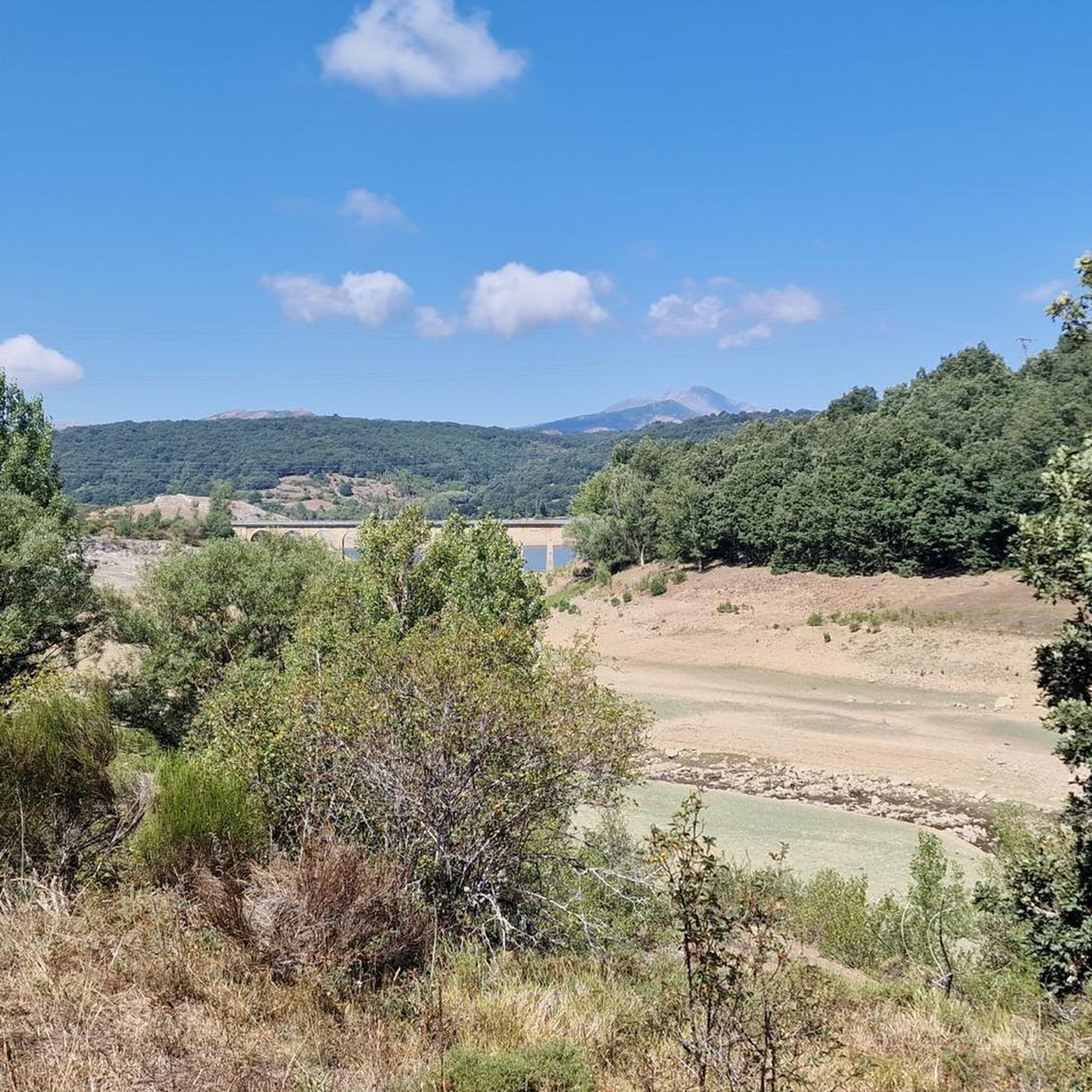
Cycling in Fuentes Carrionas Y Fuente Cobre - Montaña Palentina
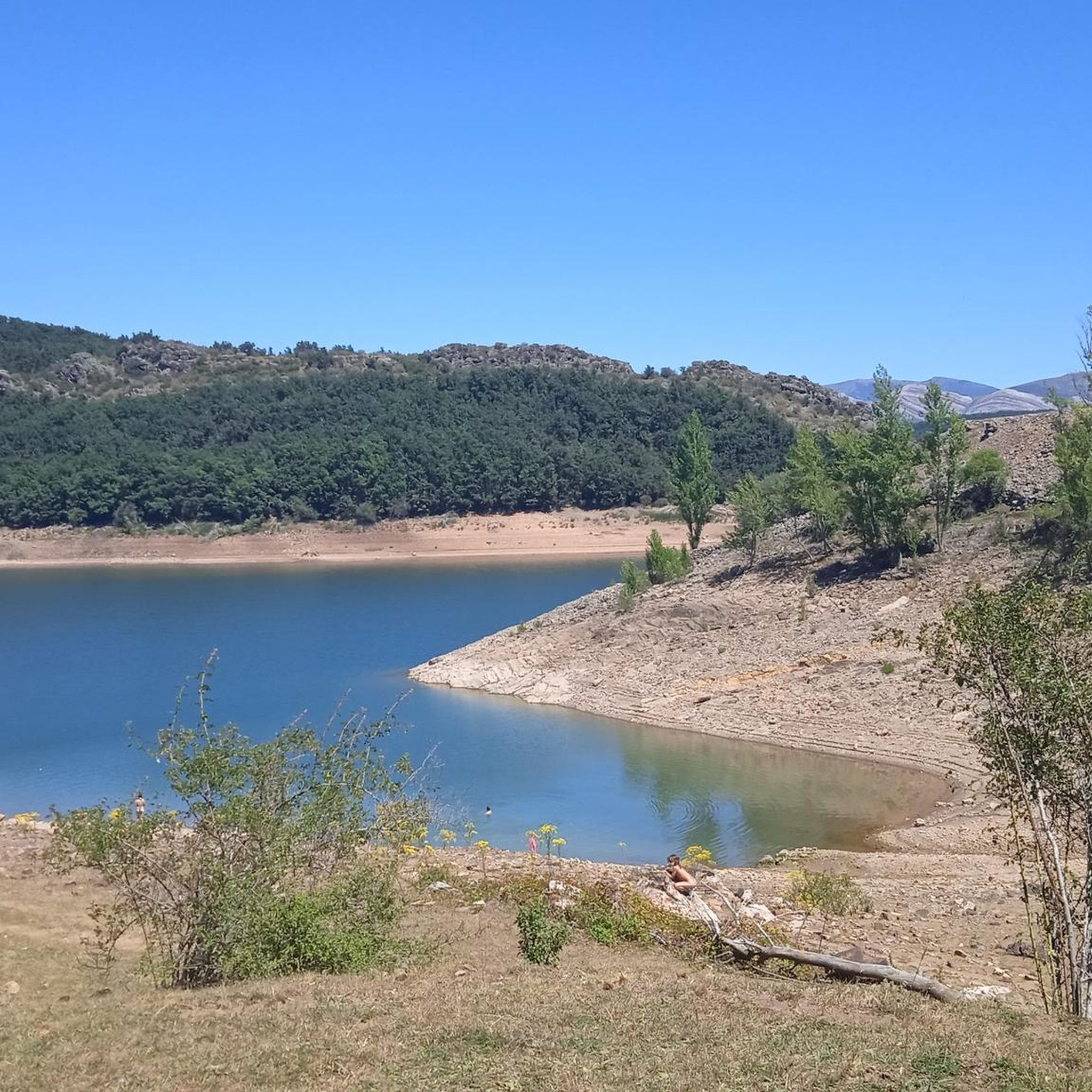
Running Trails in Fuentes Carrionas Y Fuente Cobre - Montaña Palentina
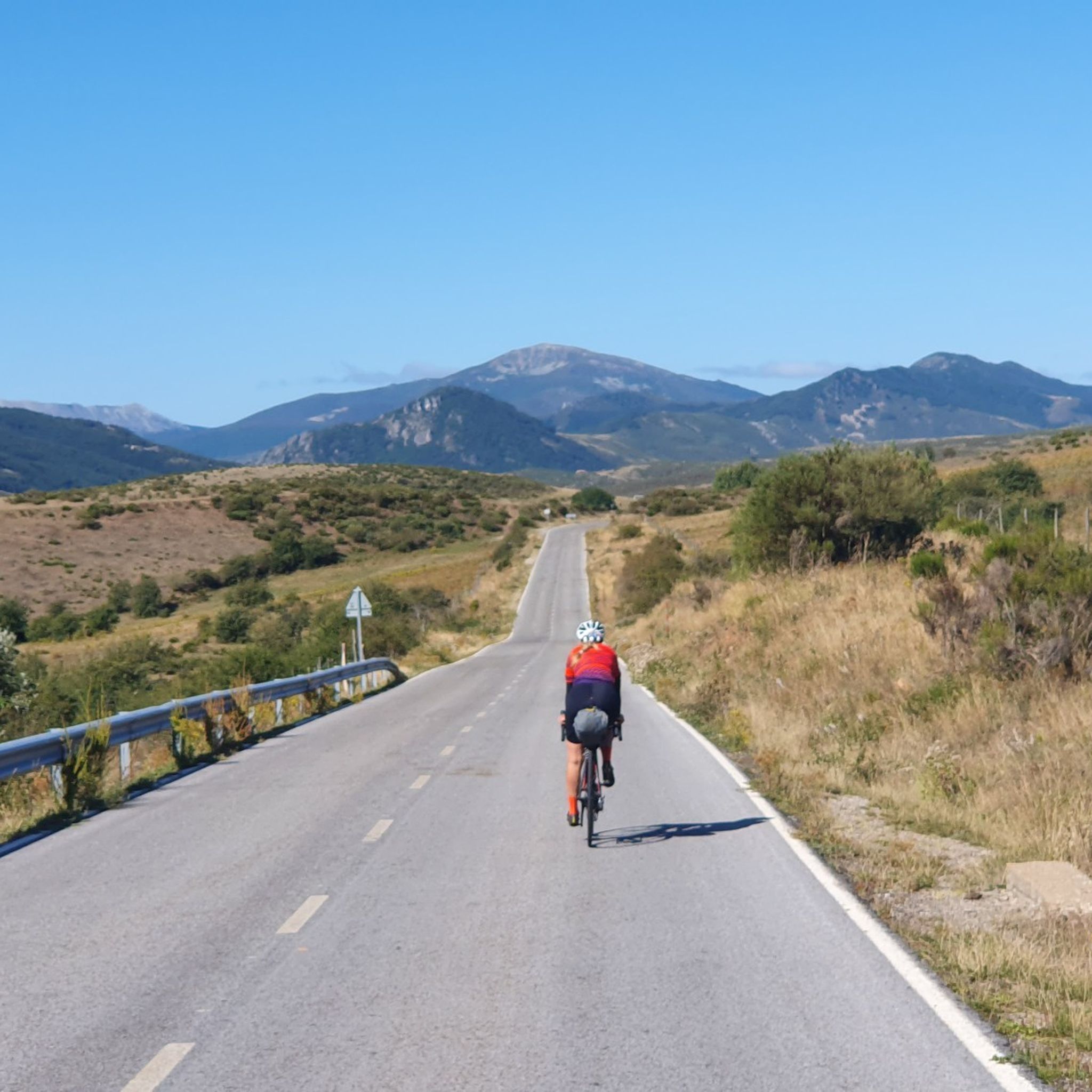
Road Cycling Routes in Fuentes Carrionas Y Fuente Cobre - Montaña Palentina

Gravel biking in Fuentes Carrionas Y Fuente Cobre - Montaña Palentina
Other adventures in Fuentes Carrionas Y Fuente Cobre - Montaña Palentina

Tips from the Community

El Pozo Curavacas is an impressive glacial lake located at 1,800 meters above sea level, on the north face of the homonymous peak within the Montaña Palentina Natural Park (province of Palencia, Spain). Known for its great beauty and legends of unfathomable depth, it offers a beautiful corner of dark waters that flows into the Carrión River.
0
0
One of the most beautiful Romanesque churches in the area.
0
0
Requejada Reservoir Dam
0
0

a must see! lots of history here, and don't forget to make a wish.
0
0

A jewel of Palencia that must be visited.
0
0

Here is the dam that creates the Camporredondo Reservoir. From this place you can follow paths and trails that surround the entire reservoir. This reservoir dates back to the 1930s.
0
0
Here you will find a spectacular view of the Camporredondo reservoir. But that's not all, the views of the surrounding mountains are excellent and it is worth taking out your camera to take some photos.
0
0

The Sanctuary of the Virgen del Brezo, located on the Palencia Mountain, is a temple of great devotion and the scene of a popular pilgrimage. At an altitude of 1,400 m, in the Sierra del Brezo, the sanctuary houses the Romanesque carving of the Virgin of Brezo. Built in the 13th century and renovated in the 18th century, the sanctuary has a church, chapel and guest house, and offers peace and natural beauty to its visitors.
2
0
Frequently Asked Questions
How many mountain bike trails are available in Fuentes Carrionas y Fuente Cobre - Montaña Palentina?
There are over 25 mountain bike trails in Fuentes Carrionas y Fuente Cobre - Montaña Palentina. These routes cater to various skill levels, with 14 moderate and 12 difficult trails to explore across the diverse landscapes of the Cantabrian Mountains.
What are the typical difficulty levels for mountain biking in this region?
Mountain biking in Fuentes Carrionas y Fuente Cobre - Montaña Palentina primarily features moderate and difficult trails. The rugged topography, shaped by past glaciations, includes dramatic peaks and deep valleys, offering challenging terrain for experienced riders. There are 14 moderate and 12 difficult routes available.
When is the best time of year to go mountain biking in Fuentes Carrionas y Fuente Cobre - Montaña Palentina?
The best time for mountain biking in Fuentes Carrionas y Fuente Cobre - Montaña Palentina is generally from late spring through early autumn. During these months, the weather is more stable, and trails are clear of snow, allowing for optimal riding conditions across the varied terrain.
Are there any circular mountain bike routes in the area?
Yes, there are several circular mountain bike routes. For instance, the San Salvador de Cantamuda and Requejada Reservoir Loop is a difficult 24.7-mile (39.8 km) path that circles the Requejada Reservoir. Another option is Los Pueblos Abandonados — circular por Parque Natural Montaña Palentina, a 23.5-mile (37.8 km) trail that takes you through the natural park and past abandoned villages.
What kind of natural features or landmarks can I expect to see along the trails?
The region is rich in natural beauty. You can expect to see dramatic peaks like Curavacas and Espigüete, deep glacial valleys, and pristine water features. Notable attractions include glacial lakes such as Pozo de las Lomas, the deep blue waters of Embalse de Compuerto, and the Compuerto Dam. The area also features extensive forests of birch, beech, and oak, and the sources of the Carrión and Pisuerga rivers.
Are there any family-friendly mountain bike trails in Fuentes Carrionas y Fuente Cobre - Montaña Palentina?
While many trails in the region are rated moderate to difficult, some sections or shorter routes around the reservoirs might be suitable for families with older children or those with some mountain biking experience. For example, the Vuelta de la Embalse de Camporredondo circular desde Camporredondo de Alba is a moderate 17.9-mile (28.9 km) route that offers scenic views around the reservoir.
What do other mountain bikers enjoy the most about mountain biking in Fuentes Carrionas y Fuente Cobre - Montaña Palentina?
The area is highly rated by the komoot community, with an average score of 4.9 stars from about 20 reviews. Reviewers often praise the dramatic and varied landscapes, the extensive network of trails, and the untouched wilderness that provides a rewarding mountain biking experience.
Are dogs allowed on the mountain bike trails?
Fuentes Carrionas y Fuente Cobre - Montaña Palentina is a natural park, and generally, dogs are permitted on trails, often requiring them to be on a leash to protect wildlife and ensure the safety of other visitors. It's always advisable to check specific park regulations or signage at trailheads for any particular restrictions.
Where can I find parking for mountain biking trailheads?
Parking facilities are typically available near popular trailheads and villages within the natural park. Key areas like Camporredondo de Alba, San Salvador de Cantamuda, or near the reservoirs often have designated parking spots. It's recommended to check specific route details on komoot for parking suggestions at the start of each tour.
Are there any huts or shelters along the mountain bike routes?
Yes, there are several huts and shelters that can be found in the region. These include the Golobar Refuge, a Free shelter in Parque Natural Montaña Palentina, and an Open shelter. These can offer a place for a break or emergency shelter during your ride.
What is the longest mountain bike trail in the region?
One of the longer mountain bike trails is Valle de Pineda a Pozo Curavacas — Parque Natural Montaña Palentina, which spans 25.8 miles (41.5 km) and leads through the natural park to Pozo Curavacas. Another extensive option is The Brezo Mountain Range - circular route through the Montaña Palentina Natural Park, covering 24.6 miles (39.6 km).
Most popular routes in Fuentes Carrionas Y Fuente Cobre - Montaña Palentina
Most popular attractions in Fuentes Carrionas Y Fuente Cobre - Montaña Palentina

Get inspired with the komoot mobile app


Explore more
Browse the best MTB trails in other regions.
