The best walks and hikes in Sierra Mariola
4.6
(1247)
7,687
hikers
66
hikes
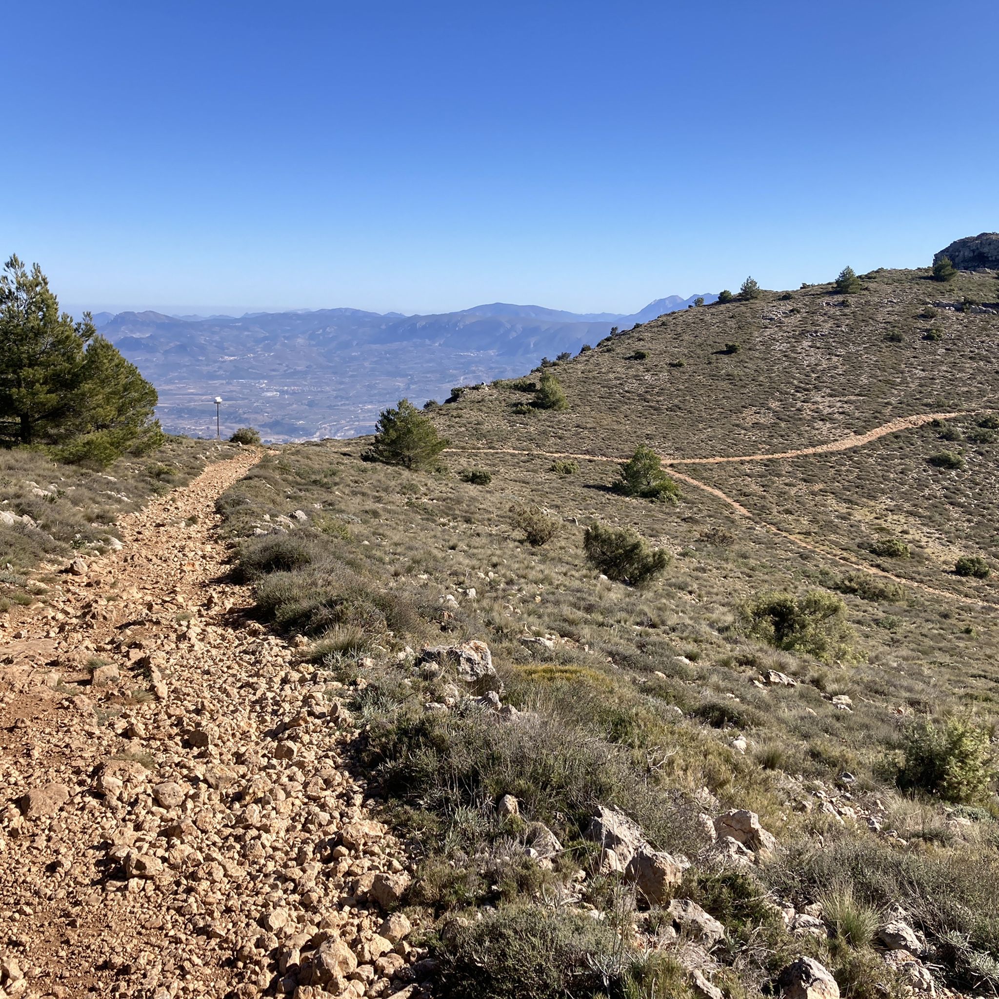
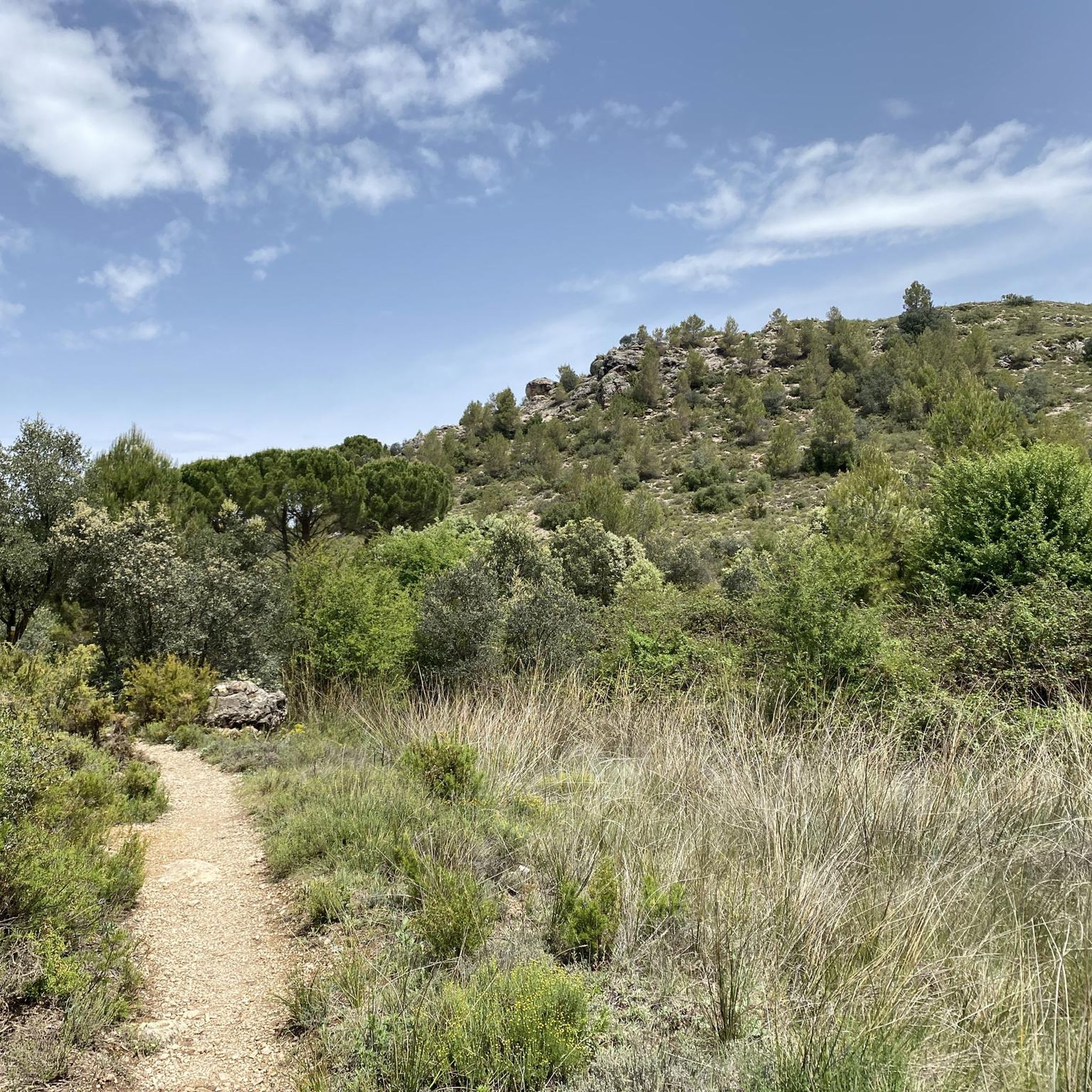
Hiking in Sierra Mariola offers diverse landscapes across its 16,000 hectares, characterized by limestone formations, natural springs, and the origins of several rivers. The region features nine peaks exceeding 1,000 meters, with Montcabrer being the highest at 1,390 meters. Hikers can explore extensive pine and oak forests, alongside areas rich in aromatic plants. This natural park provides a varied terrain suitable for different hiking experiences.
Best hiking trails in Sierra Mariola
- The most popular hiking route is Montcabrer from Cocentaina…
Last updated: August 17, 2026
4.0
(3)
34
hikers
15.8km
06:27
870m
880m
Hard hike. Very good fitness required. Mostly accessible paths. Sure-footedness required.
4.6
(25)
182
hikers
11.2km
04:57
670m
670m
Moderate hike. Good fitness required. Mostly accessible paths. Sure-footedness required.

Sign up for free
4.8
(12)
50
hikers
Moderate hike. Good fitness required. Mostly accessible paths. Sure-footedness required.
5.0
(12)
72
hikers
Hard hike. Very good fitness required. Mostly accessible paths. Sure-footedness required.
4.9
(7)
39
hikers
11.2km
03:02
150m
150m
Moderate hike. Good fitness required. Easily-accessible paths. Suitable for all skill levels.
Get access to more routes and recommendations from other explorers.
Sign up for free
Already have an account?
Our route recommendations are based on thousands of hikes, rides, and runs completed by other people on komoot.
Start today with a free account
Your next adventure awaits.
Login or Signup
Tips from the Community

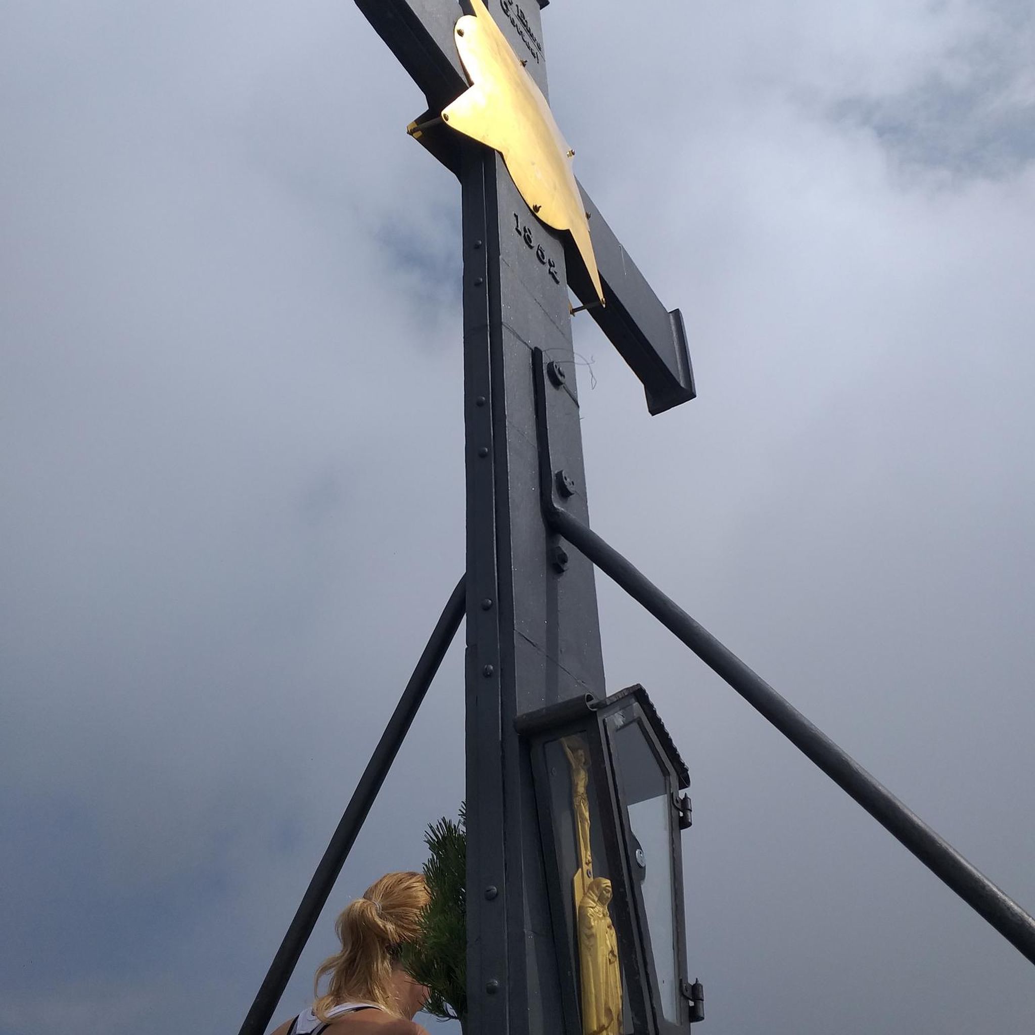
Beautiful, you have to go up there at least once in your life.
1
0

Beautifully hidden in the forest lies this still complete snow fountain.
0
0

Fun for kids and adults;)!!: you can find a geocache at this place, open or download the geocache app and collect them all!
0
1

Serra de Mariola Natural Park, please note that driving is prohibited if the track or path is less than 2 metres wide. The fine is 600 euros
0
0

"La Cava Gran de Agres" is a historic snow storage facility that once served as a refrigerator for storing snow, which was later used as ice. In winter, snow was filled into the pit and compacted to be used as blocks of ice. The upper arches supported a roof that protected the snow from the sun. In summer, the stored snow was cut into blocks and transported to the cities by pack animals. Ice was of great importance at that time for preserving food and for medicinal purposes. The architecture of the Cava is characterized by massive stone walls and a domed roof, parts of which are now in ruins. The building is an important testament to the traditional methods of preservation and logistics in the region.
12
0

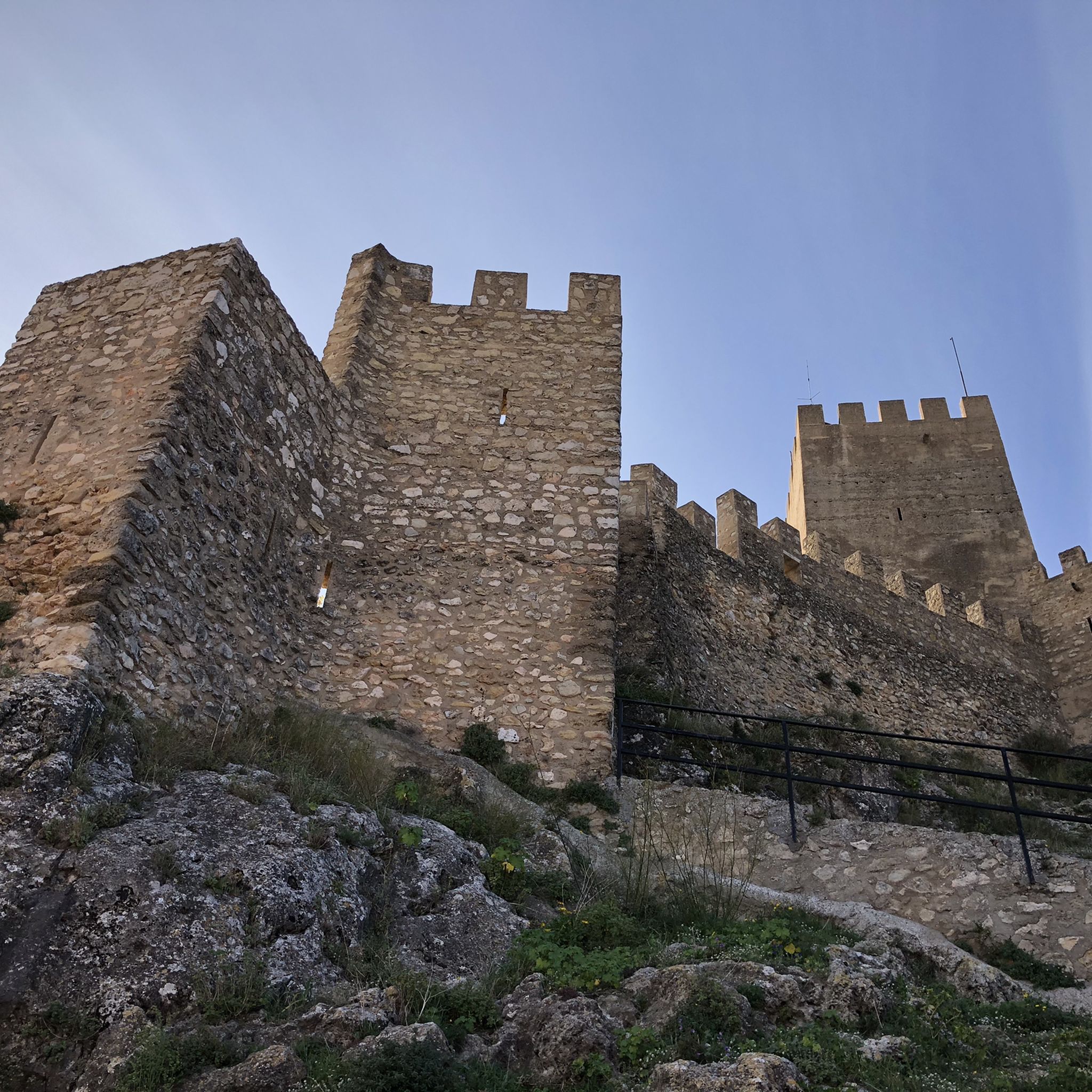
This Moorish construction is surrounded by nature in the Sierra de Mariola. If you want to visit it, you have to leave the bike on the track, since the path is quite narrow. They are only a few meters on foot that are worth it.
0
0

Frequently Asked Questions
How many hiking trails are there in Sierra Mariola?
Sierra Mariola offers a wide variety of hiking experiences, with over 60 routes available. These range from easy strolls to challenging climbs, ensuring options for all fitness levels.
What is the best time to visit Sierra Mariola for hiking?
The best time to visit Sierra Mariola for hiking is generally during spring and autumn. These seasons offer pleasant temperatures, vibrant flora, and comfortable conditions for exploring the diverse landscapes. Summer can be hot, especially at midday, while winter can bring cooler temperatures to the higher peaks.
Are there hiking options for all skill levels in Sierra Mariola?
Yes, Sierra Mariola caters to all skill levels. The park features 5 easy routes, 52 moderate routes, and 6 difficult routes. Whether you're looking for a gentle walk or a strenuous ascent, you'll find a suitable trail.
What kind of landscapes can I expect to see while hiking in Sierra Mariola?
Hiking in Sierra Mariola reveals diverse landscapes, from extensive pine and oak forests to areas rich in aromatic plants like sage and thyme. You'll encounter limestone formations, numerous natural springs, and the origins of several rivers. The terrain includes mountainous areas with nine peaks exceeding 1,000 meters, offering varied scenery.
What notable landmarks or natural features can I explore in Sierra Mariola?
Sierra Mariola is rich in natural and historical landmarks. You can explore the unique historical ice cellars, known as 'neveras,' such as the well-preserved Cava Gran de Agres. The highest point, Montcabrer Summit, offers panoramic views. The park is also known for its abundant natural springs and features like the scenic Barranco del Cint ravine.
Are there family-friendly hiking trails in Sierra Mariola?
Yes, Sierra Mariola has several family-friendly options, particularly among its easy and moderate routes. Areas like 'El Convent Recreational Area' are great starting points, offering amenities and access to gentler trails. The Font de la Coveta – Toll Blau Swimming Spot loop is an easy 4.5-mile trail that leads through lush landscapes with natural water sources, suitable for families.
Can I bring my dog on hikes in Sierra Mariola?
Sierra Mariola Natural Park generally allows dogs on trails, but it is crucial to keep them on a leash to protect wildlife and ensure the safety of other hikers. Always check for specific signage or local regulations at trailheads, as rules can vary in certain protected zones or during specific seasons.
Are there circular hiking routes available in Sierra Mariola?
Many of the trails in Sierra Mariola are designed as circular routes, allowing you to start and end at the same point. Examples include the moderate Cova de l'Habitació – Cava Gran de Agres loop from Agres, which explores historical ice cellars, and the easy Font de la Coveta – Toll Blau Swimming Spot loop.
Where can I find natural water sources or swimming spots along the trails?
Sierra Mariola is renowned for its abundant natural springs and the origins of several rivers. The Font de la Coveta – Toll Blau Swimming Spot loop specifically leads to the crystal-clear pools of Toll Blau, offering a refreshing stop. Many other routes will pass by natural fountains and river sources.
What are the highest peaks I can hike to in Sierra Mariola?
The highest peak in Sierra Mariola is Montcabrer Summit, standing at 1,390 meters. A challenging route to its summit is the Montcabrer from Cocentaina Trail (PR-CV 37). Other notable peaks include Pico Teix and Sotarroni Summit.
Is public transport available to reach trailheads in Sierra Mariola?
While public transport options directly to all trailheads within Sierra Mariola can be limited, the park is surrounded by charming towns like Bocairent, Agres, and Banyeres de Mariola, which may have bus connections. From these towns, you might need to arrange local transport or walk to reach specific starting points for hikes.
Are there any specific regulations or permits needed for hiking in Sierra Mariola Natural Park?
Sierra Mariola is a Natural Park, and while general hiking does not typically require permits, it's always advisable to be aware of park regulations. These may include rules regarding fire prevention, waste disposal, and respecting wildlife. For specific details, especially for larger groups or certain activities, it's best to consult the official park information.
Where can I park my car when visiting Sierra Mariola for hiking?
Parking is generally available near the main access points and towns surrounding Sierra Mariola, such as Bocairent, Agres, and Banyeres de Mariola. Many popular trailheads, including those leading to the ice cellars or recreational areas like El Convent, often have designated parking facilities. Always look for marked parking areas to avoid obstructing local traffic or damaging natural spaces.
What do other hikers enjoy most about hiking in Sierra Mariola?
The komoot community highly rates hiking in Sierra Mariola, with an average score of 4.4 stars from over 390 reviews. Hikers frequently praise the diverse landscapes, the abundance of natural springs, and the unique historical elements like the ice cellars. The well-maintained network of routes and the variety of difficulty levels are also often highlighted as positive aspects.
Most popular routes in Sierra Mariola
Most popular attractions in Sierra Mariola

Get inspired with the komoot mobile app


Explore more
Browse the best Hikes in other regions.
