The best road cycling routes around Pettneu am Arlberg
4.0
(39)
1,646
riders
15
rides
Road cycling around Pettneu am Arlberg offers diverse landscapes between the Lechtal Alps and the Verwall Group. The region features dramatic mountain scenery, including towering peaks and alpine valleys, alongside the Rosanna River. Road cyclists will find varied terrain, from riverside paths to challenging alpine ascents, with significant elevation changes.
Best road cycling routes around Pettneu am Arlberg
- The most popular road cycling route is Covered Bridge Over the Ill – Rifasperre Reservoir loop from St. Anton am Arlberg,…
Last updated: October 11, 2026
4.7
(15)
366
riders
Hard road ride. Very good fitness required. Some segments of this route may be unpaved and difficult to ride.
3.7
(3)
191
riders
Moderate road ride. Good fitness required. Some segments of this route may be unpaved and difficult to ride.

3.0
(2)
77
riders
42.5km
02:09
580m
580m
Moderate road ride. Good fitness required. Some segments of this route may be unpaved and difficult to ride.
4.5
(2)
60
riders
Hard road ride. Very good fitness required. Mostly well-paved surfaces and easy to ride.
41
riders
38.0km
02:47
1,280m
1,280m
Hard road ride. Very good fitness required. Some segments of this route may be unpaved and difficult to ride.
Get access to more routes and recommendations from other explorers.
Already have an account?
Our route recommendations are based on thousands of hikes, rides, and runs completed by other people on komoot.
Start today with a free account
Your next adventure awaits.
Popular around Pettneu am Arlberg
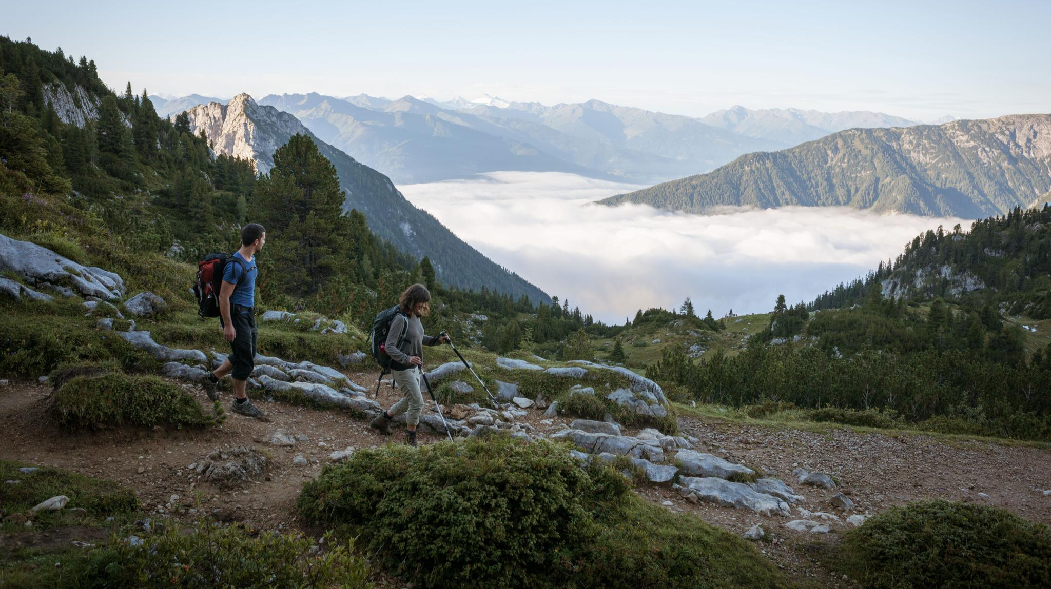
Eagle Walk – Majestic hiking along Tirol's trail
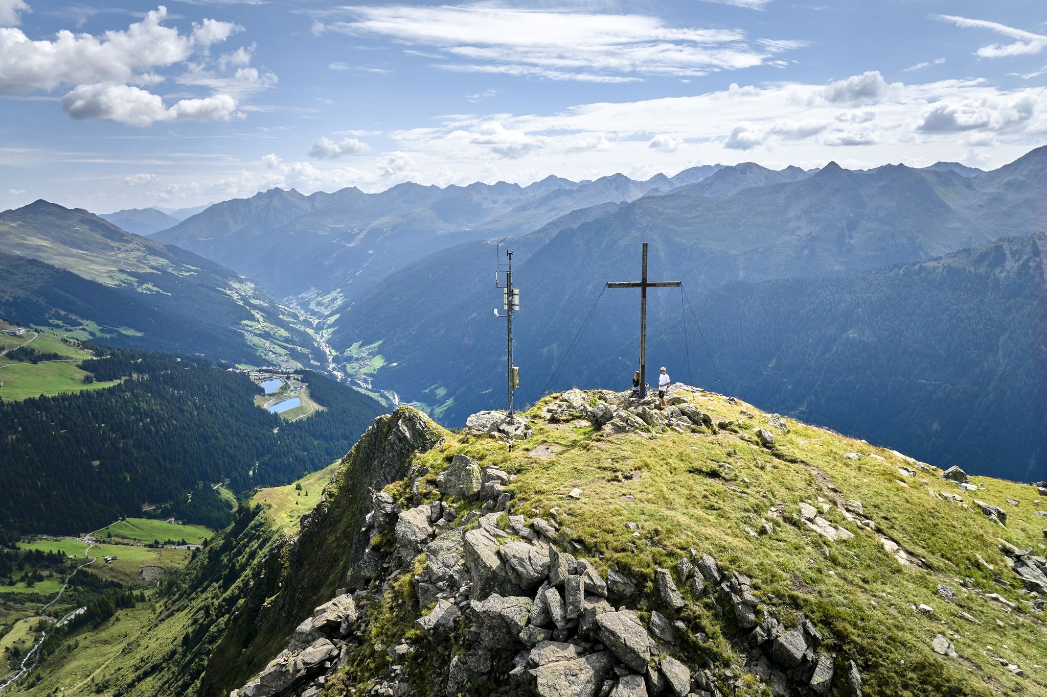
Paznauner High Trail – long-distance hike in 9 stages
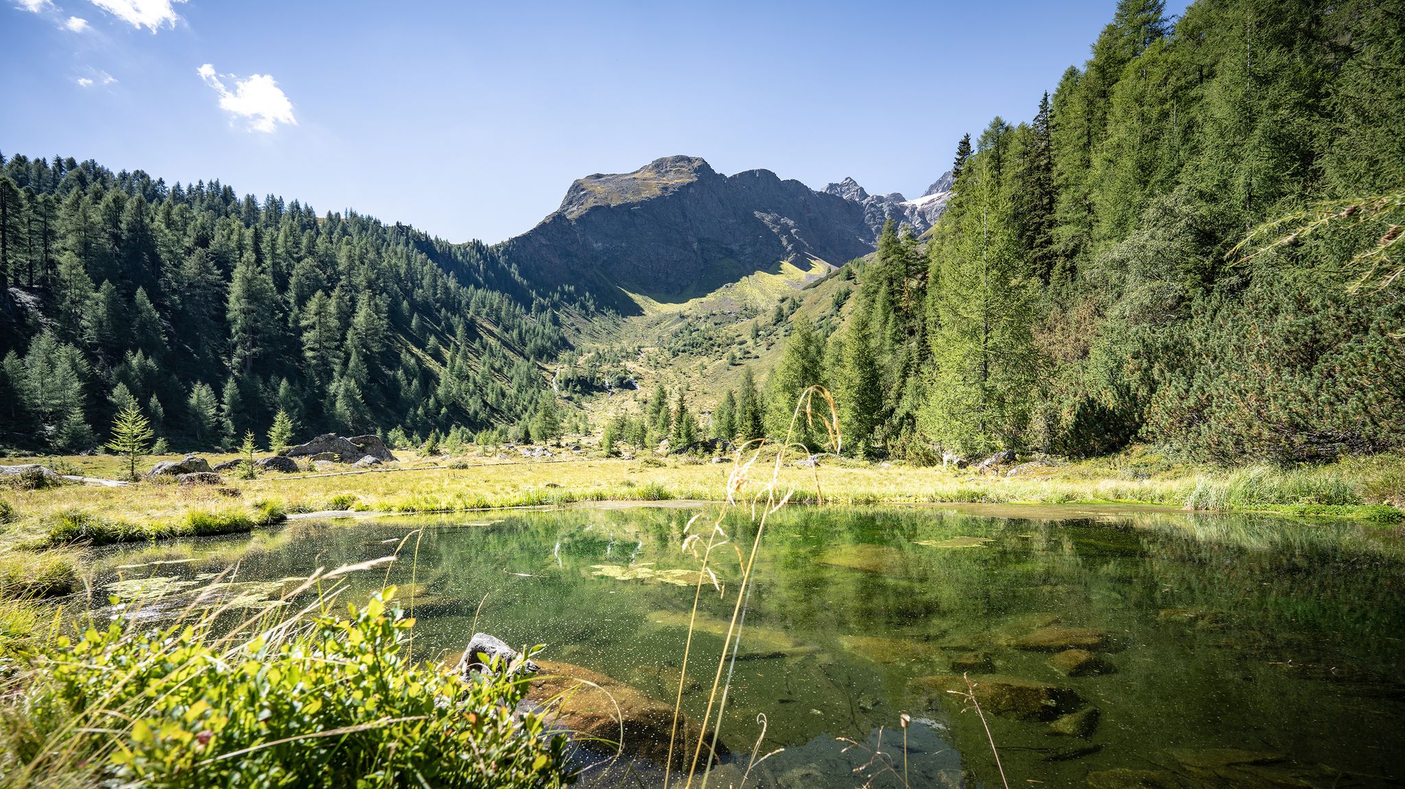
Wild water, light blue – mountain lake Tours in St. Anton am Arlberg
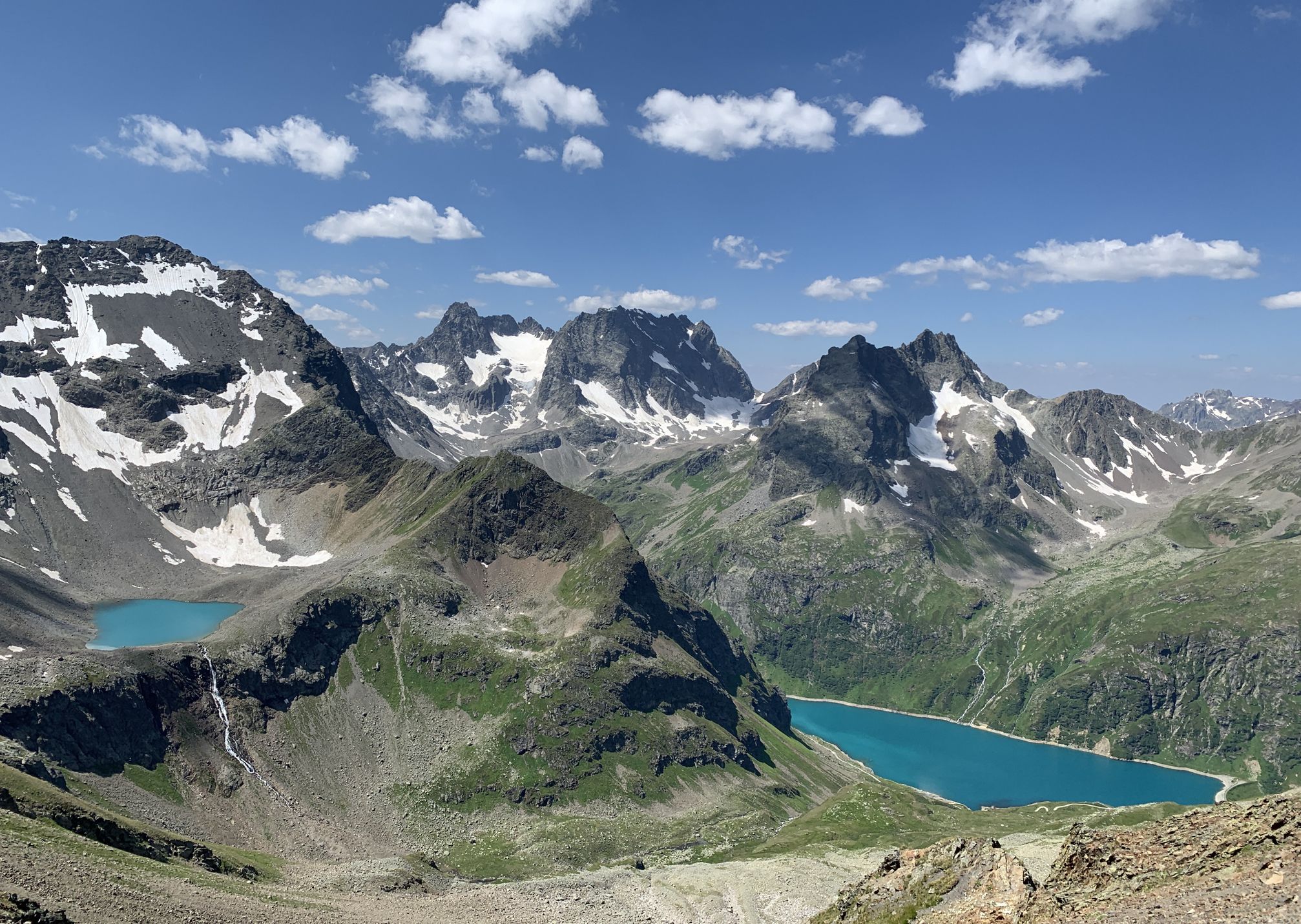
Wild and untouched – Austria’s Verwall-Runde hiking trail
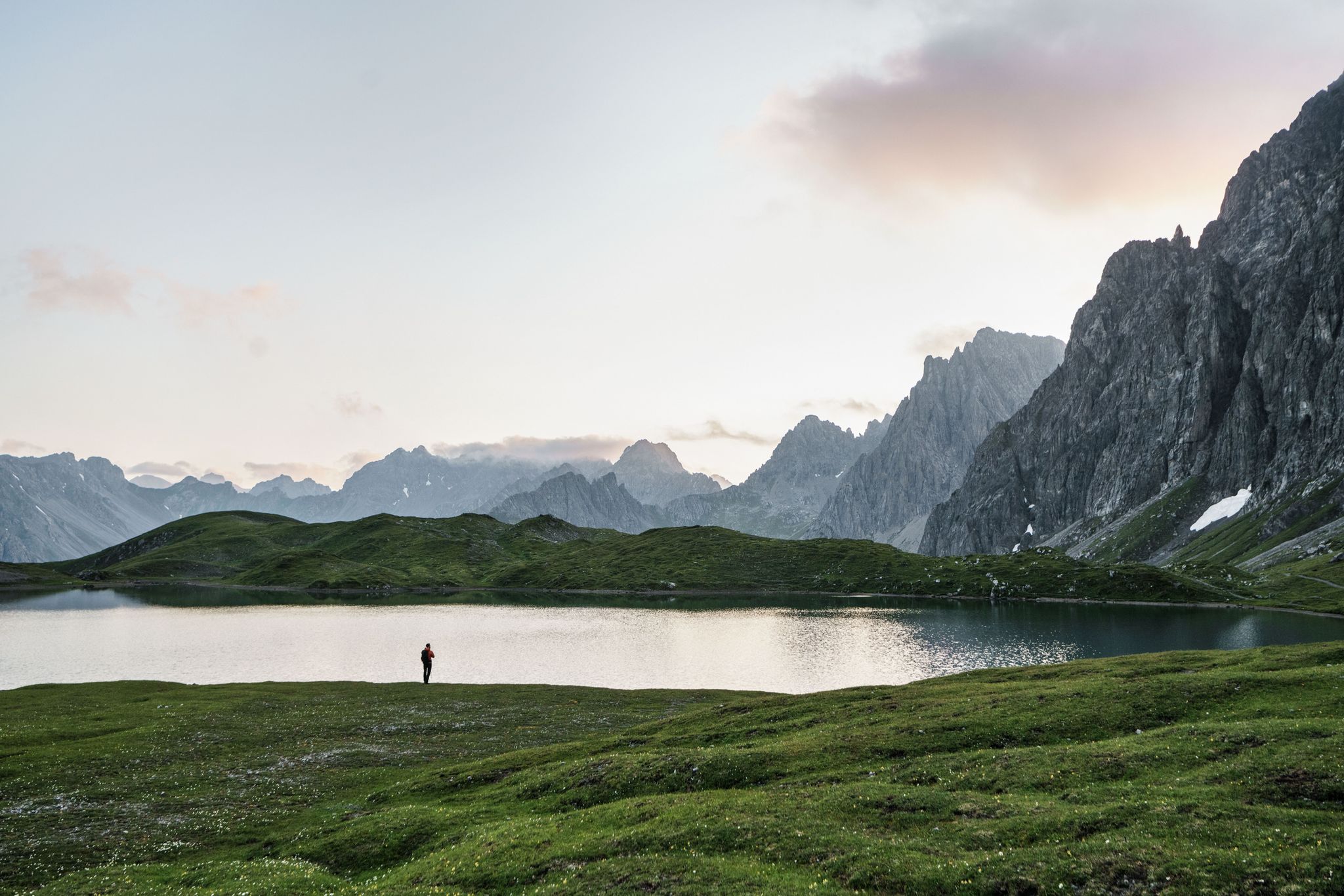
Hiking for human dynamos on the Lechtal Mountain Trail – Great Walks

An alpine adventure – from east to west through Austria
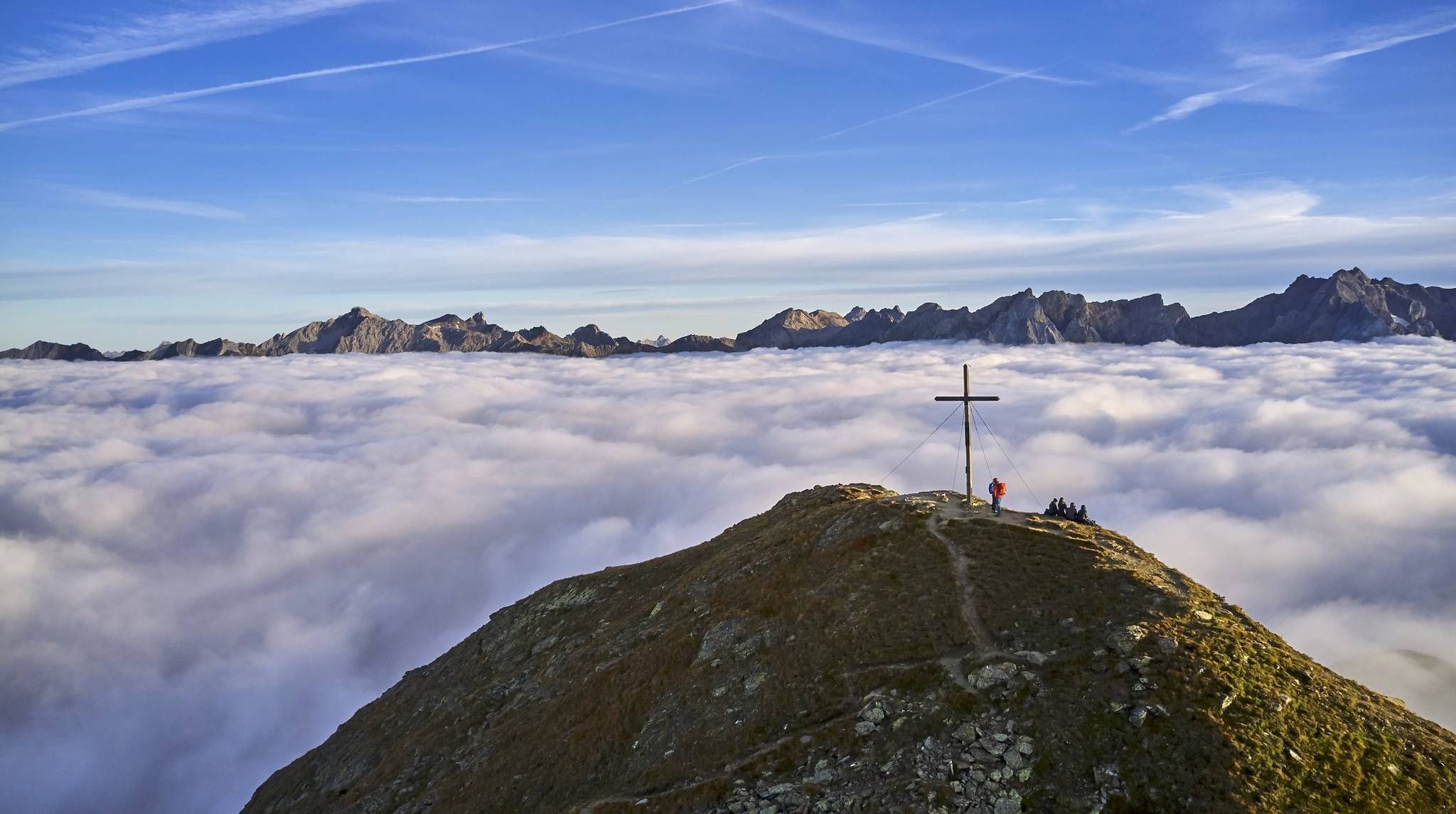
Hiking the Paznauner High Trail in 9 stages
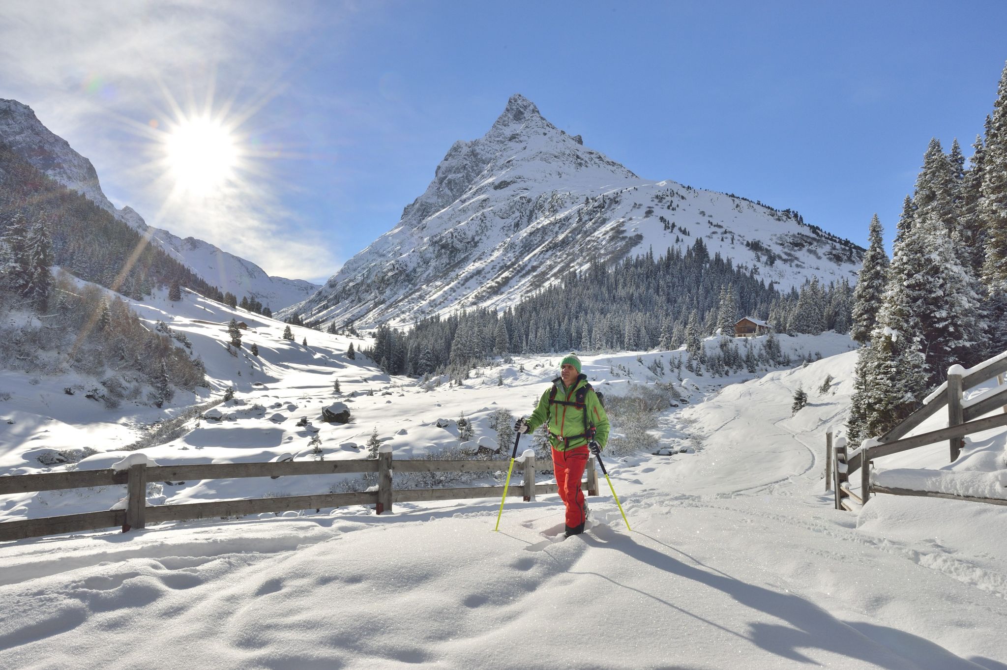
Find the snow! Winter hiking in Vorarlberg and on the Arlberg in Austria
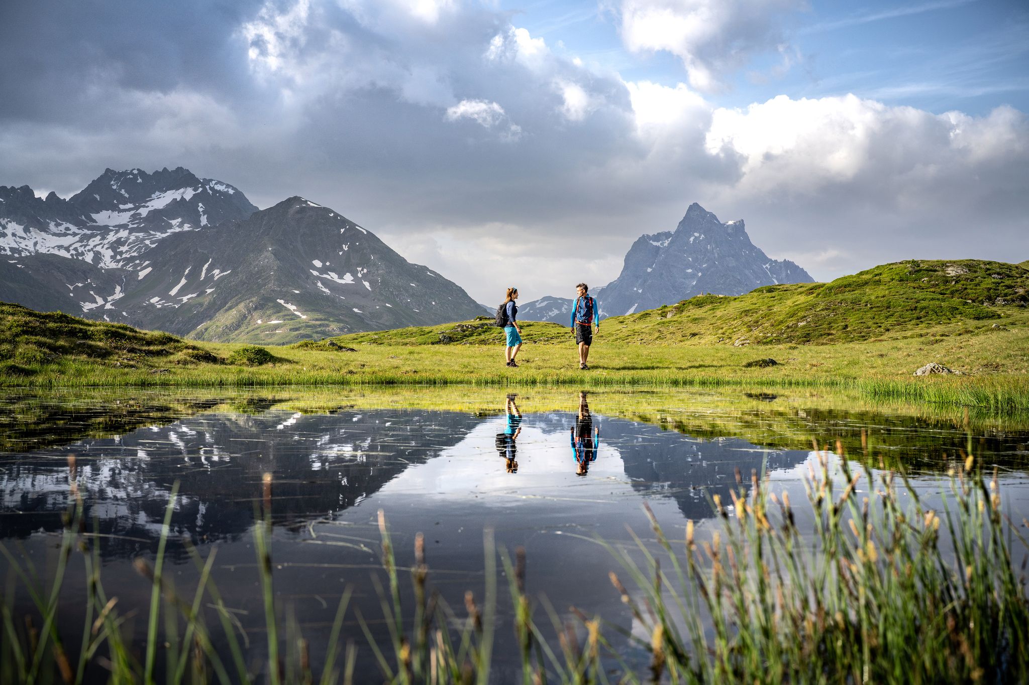
Enjoy the beauty around St. Anton am Arlberg - 12 day hikes
Paznauner Höhenweg – Neuer Wanderklassiker und alpines Weitwander-Abenteuer
Other adventures around Pettneu am Arlberg


Tips from the Community

This is the cycle path to avoid having to go through the Findelkind Tunnel. (Caveat: No entry for vehicles)
0
0

I photographed this imposing railway bridge on the way to the Arlberg Pass.
0
0


A sophisticated, not exactly cheap town center of Lech am Arlberg, located directly on the panoramic trail along the Lech river.
3
0
Anyone traveling to Zürs/Lech inevitably passes by the Flexenhäusl. It lies at the highest point of the Flexenstrasse, at 1773m, right next to the European watershed.
6
0
A beautifully situated location on the Lech river, surrounded by a magnificent mountain landscape with plenty of hiking opportunities in every season.
7
0

This brutalist church was built from 1965 to 1967 according to plans by architect Norbert Heltschl. The freestanding, sculptural bell tower is particularly striking. A drinking water fountain is located directly next to the tower.
1
0

Take a deep breath and enjoy the panorama.
0
0
Frequently Asked Questions
What kind of road cycling terrain can I expect in Pettneu am Arlberg?
Pettneu am Arlberg offers a diverse range of road cycling terrain, from leisurely riverside paths along the Rosanna River to challenging alpine ascents. You'll find routes with significant elevation gains through dramatic mountain scenery, including the Lechtal Alps and the Verwall Group, as well as more moderate loops suitable for various fitness levels.
Are there road cycling routes suitable for beginners or those looking for an easier ride?
Yes, there are routes suitable for beginners and those preferring an easier ride. For instance, the Roadbike loop from Pettneu am Arlberg is a moderate 21 km route with a manageable 184 meters of elevation gain. The Stanzertal Arlberg Cycle Route, also known as the Rosanna Path, offers family-friendly sections along the river, though some parts may be gravel.
What are some challenging road cycling routes for experienced riders in the region?
Experienced road cyclists will find plenty of challenging options. Routes like the Covered Bridge Over the Ill – Rifasperre Reservoir loop from St. Anton am Arlberg cover nearly 146 km with over 2,500 meters of elevation gain. Other demanding tours include sections of the renowned Arlberg Giro route and ascents over passes like Hahntennjoch, which can feature unpaved segments requiring excellent fitness.
What natural features or landmarks can I see while road cycling around Pettneu am Arlberg?
The region is rich in natural beauty. You can cycle alongside the Rosanna River, which flows through the area, and explore the mystical Rosanna Gorge. The Malfon Valley offers scenic views, and tranquil spots like Kaltenberger See are perfect for a stop. For breathtaking panoramic views, you might glimpse towering peaks such as Valluga or Parseierspitze Summit from various points along the routes.
Are there any circular road cycling routes available?
Yes, many road cycling routes in the area are designed as loops. Examples include the Landeck Town Center – Inntal Cycle Path Section Mils loop from Pettneu am Arlberg, a moderate 82.6 km ride, or the Landeck Town Center loop from St. Anton am Arlberg, a more difficult 61.7 km option. These circular routes allow you to start and finish in the same location.
What do other road cyclists say about the routes in Pettneu am Arlberg?
The road cycling routes around Pettneu am Arlberg are highly rated by the komoot community, with an average score of 3.7 stars from over 70 reviews. Cyclists often praise the diverse landscapes, from river paths to challenging mountain passes, and the well-maintained routes that cater to various skill levels.
What is the best time of year for road cycling in Pettneu am Arlberg?
The best time for road cycling in Pettneu am Arlberg is generally from late spring to early autumn. During these months, the weather is more stable, and mountain passes are typically clear of snow, offering optimal conditions for exploring the diverse terrain. Summer provides warmer temperatures and longer daylight hours.
Are there any specific passes or summits that road cyclists can aim for?
Yes, the region is known for its mountain passes. The Arlberg Pass is a notable feature, with its summit reaching 1800 meters. More challenging routes can lead over passes like Hahntennjoch, offering significant climbs and rewarding views. You can also find routes that pass near summits like Galzig Summit.
How many road cycling routes are available in Pettneu am Arlberg?
There are over 20 road cycling routes available around Pettneu am Arlberg, offering a wide range of distances and difficulty levels. This includes 12 moderate routes and 8 difficult routes, ensuring options for nearly every type of road cyclist.
Can I find routes that follow rivers or valleys for a less strenuous ride?
Absolutely. The Stanzertal Arlberg Cycle Route, also known as the Rosanna Path, follows the banks of the Rosanna River and offers a more gentle cycling experience. The Bridge Over the Rosanna – Along the banks of the Rosanna loop from St. Anton am Arlberg is another moderate option that stays close to the river, providing a scenic and less strenuous ride.
Are there any places to stop for refreshments or to relax along the routes?
While specific cafes along every route are not detailed, the region is well-equipped for visitors. Traditional mountain pastures like Malfon Alm offer authentic Alpine culture and views. After a ride, the Wellnesspark Pettneu am Arlberg provides facilities for relaxation. Many villages and towns along the routes, such as Landeck, will also have options for refreshments.
What are the typical elevation gains for road cycling routes in this area?
Elevation gains vary significantly depending on the route's difficulty. Moderate routes, like the 21 km Roadbike loop from Pettneu am Arlberg, have around 180 meters of ascent. More challenging routes, such as the Covered Bridge Over the Ill – Rifasperre Reservoir loop, can feature over 2,500 meters of elevation gain, making them suitable for very fit cyclists.
Most popular routes around Pettneu am Arlberg
Most popular attractions around Pettneu am Arlberg

Get inspired with the komoot mobile app


Explore more
Browse the best Road cycling routes in other regions.
