The best running trails in Monfragüe
4.5
(2)
87
runners
15
runs
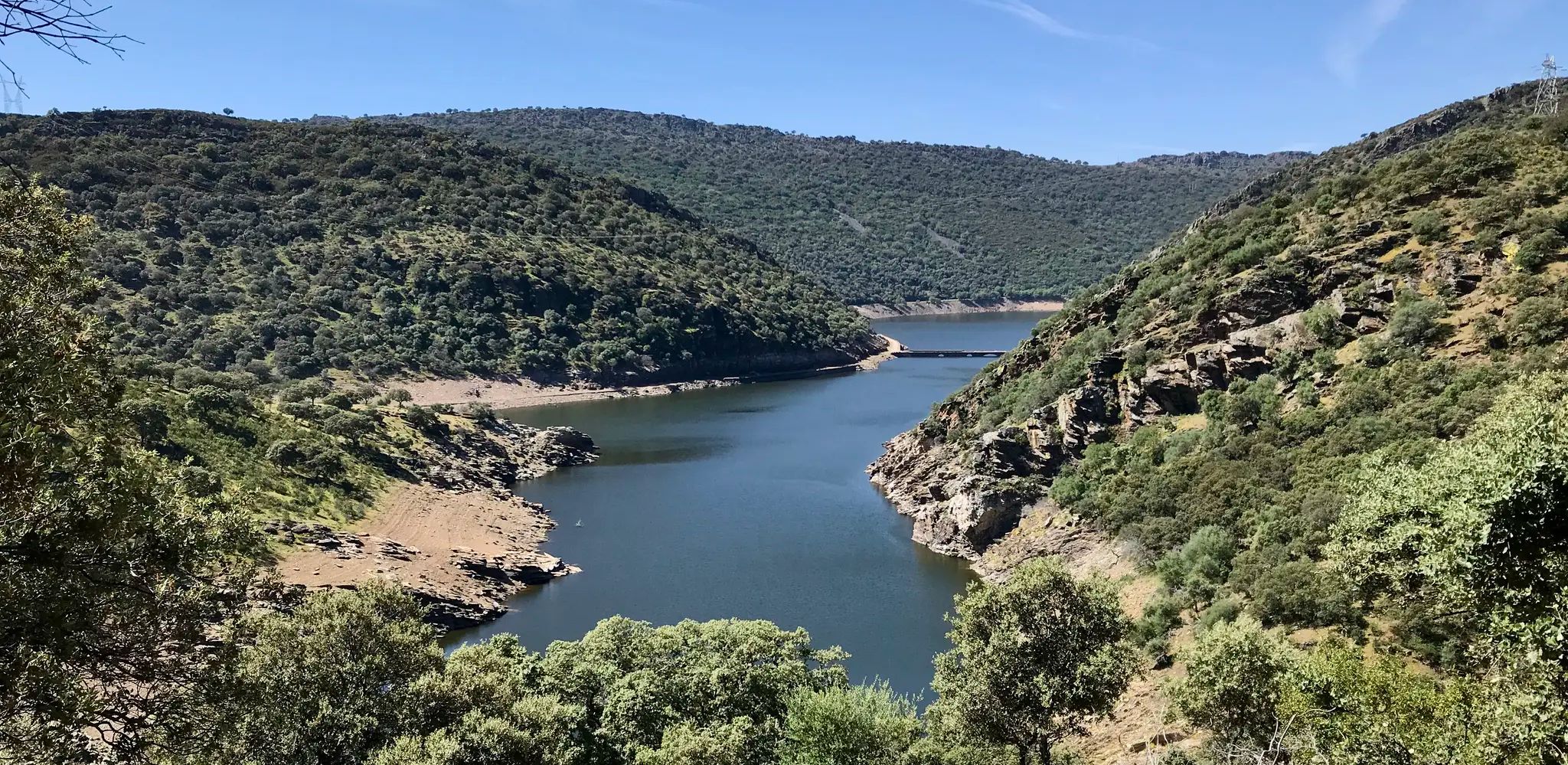
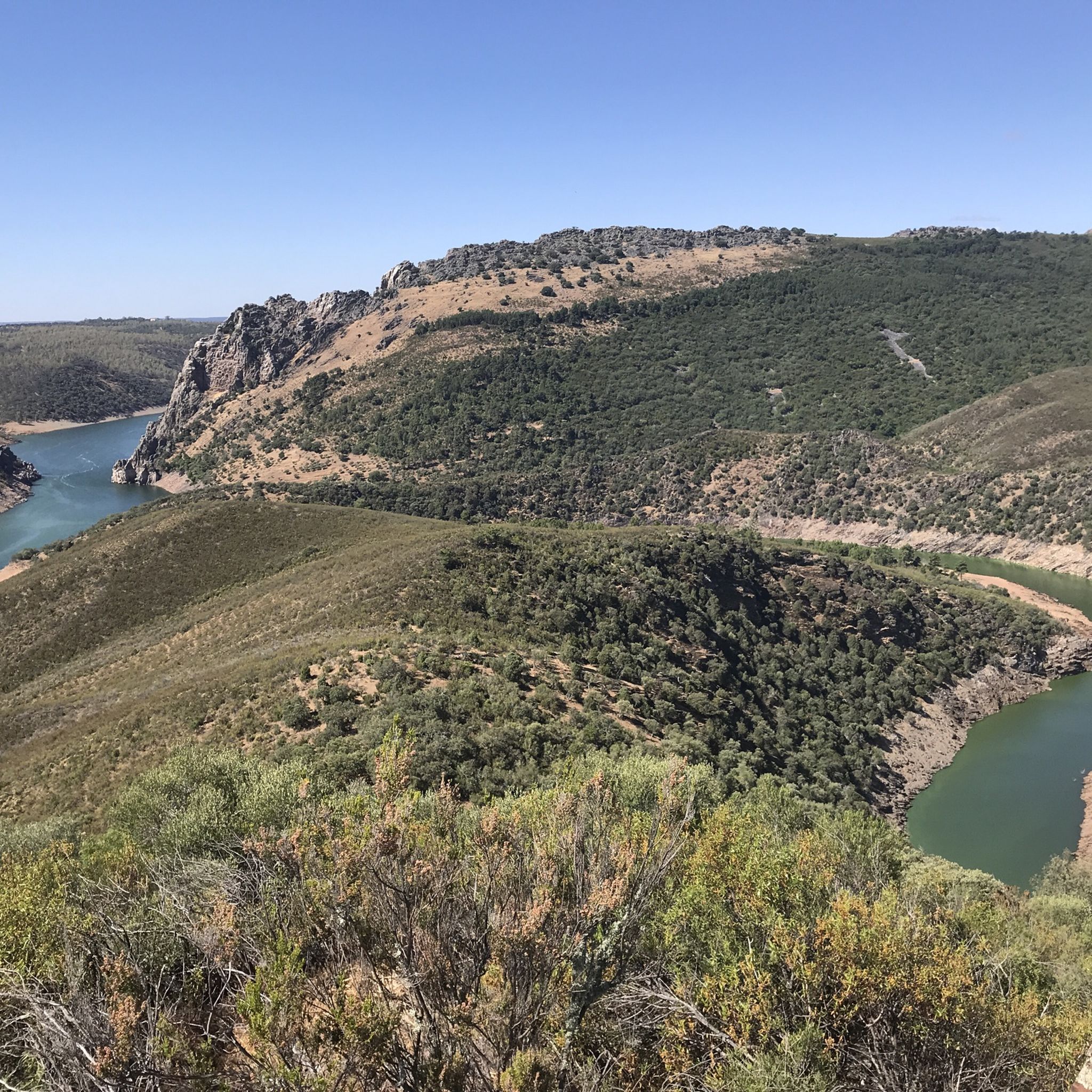
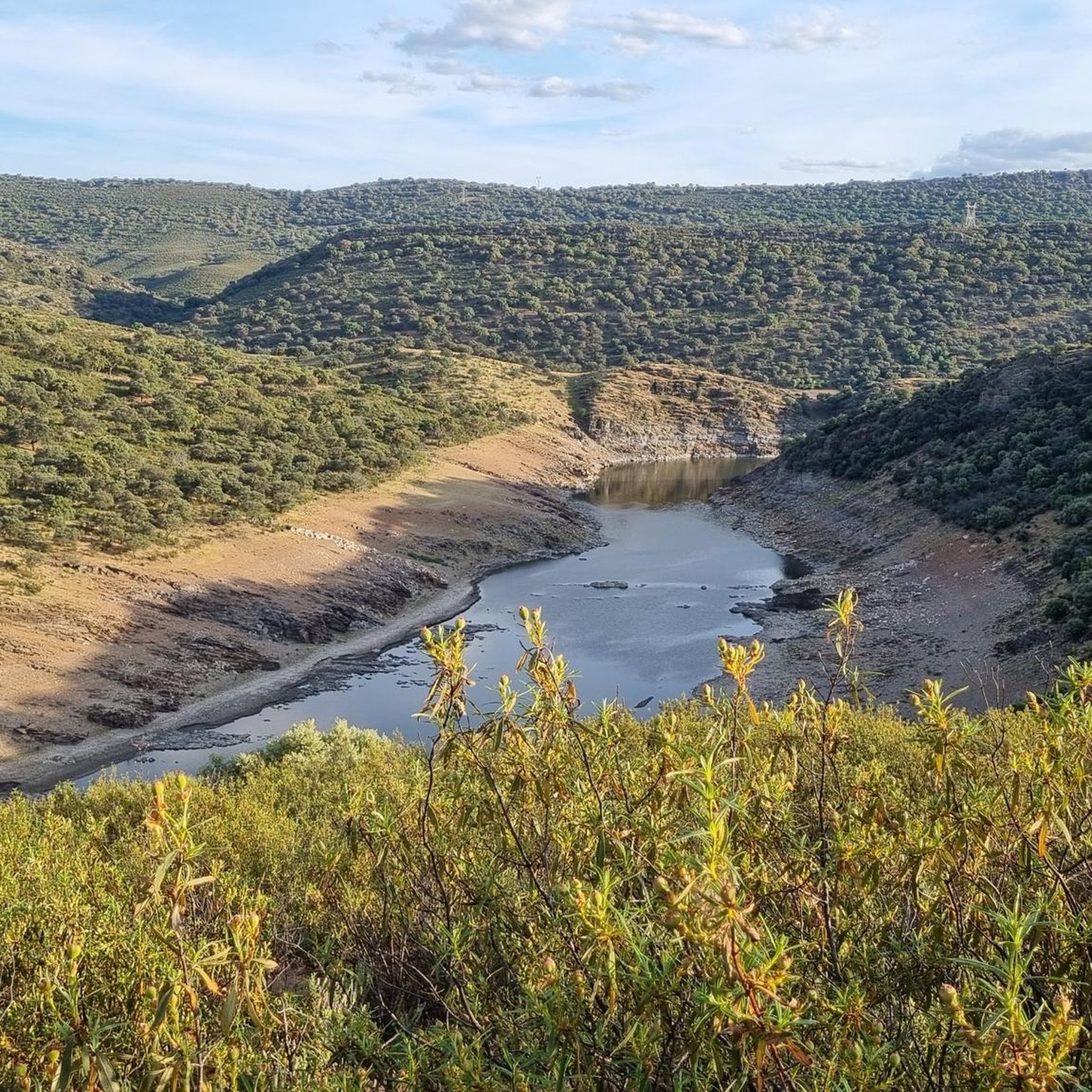
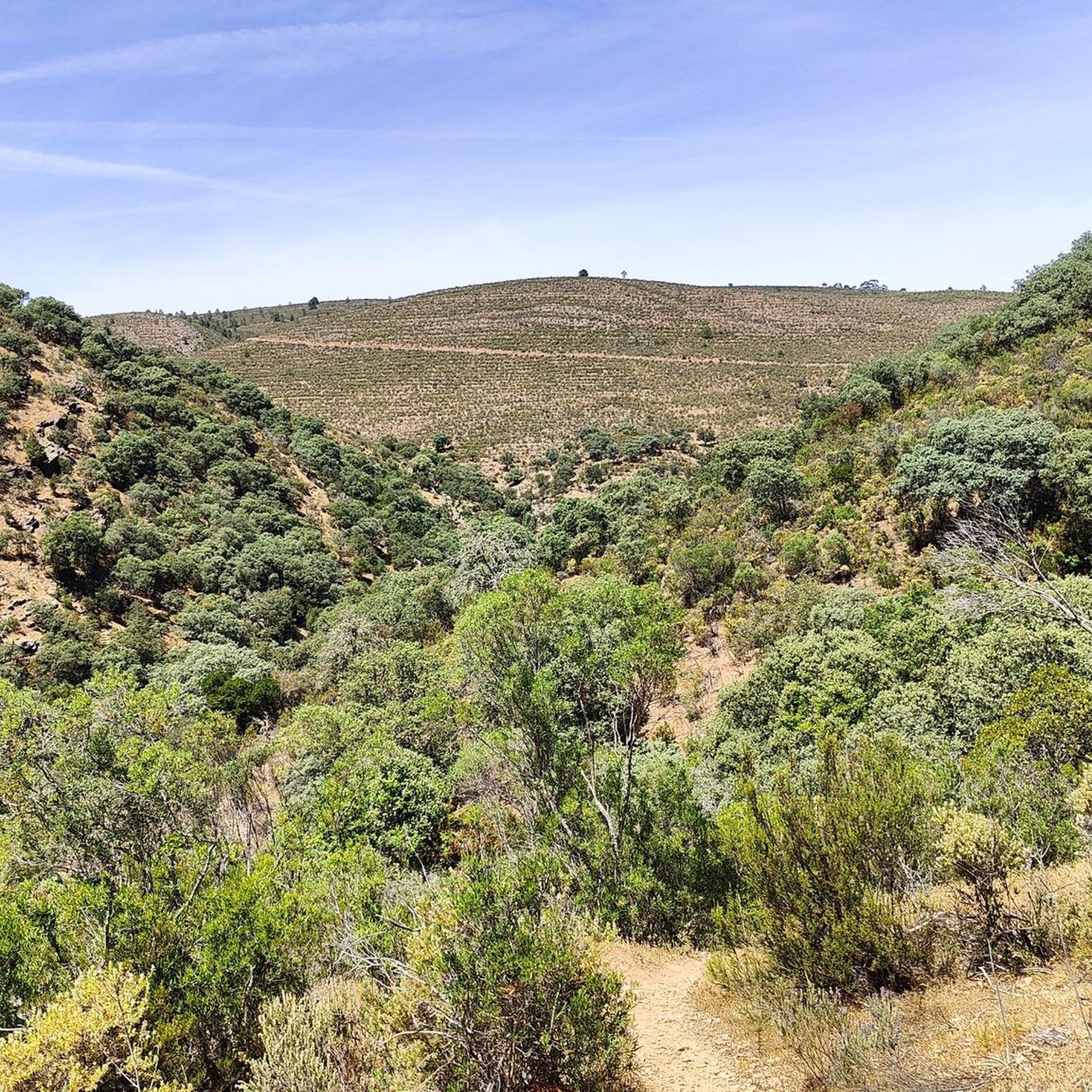
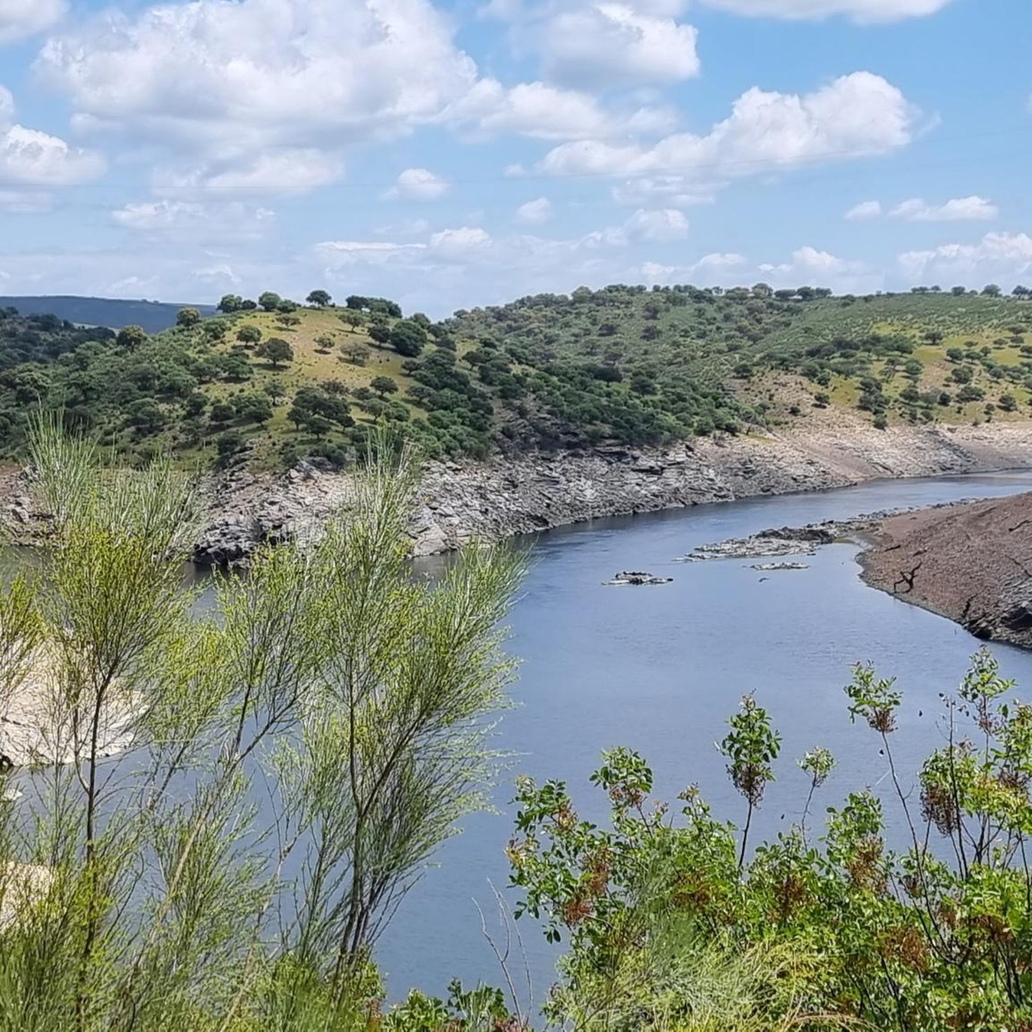
Jogging routes in Monfragüe traverse a landscape characterized by extensive Mediterranean forest and scrubland, offering varied terrain for runners. The region is shaped by the Tajo and Tiétar rivers, which carve dramatic canyons and provide unique riverine ecosystems. Quartzite ridges and impressive cliffs offer challenging ascents and panoramic viewpoints, while open woodlands known as 'dehesa' provide less dense scenery.
Best jogging routes in Monfragüe
- The most popular jogging route is Cerro Gimio – circular via the Arroyo Malvecino Route,…
Last updated: July 7, 2026
5.0
(1)
10
runners
7.83km
01:03
170m
170m
Hard run. Good fitness required. Sure-footedness, sturdy shoes and alpine experience required.
1
runners
4.13km
00:33
70m
70m
Jog this difficult 2.6-mile (4.1 km) route in Monfragüe National Park, featuring river views and excellent birdwatching opportunities.

Sign up for free
13
runners
Hard run. Very good fitness required. Sure-footedness, sturdy shoes and alpine experience required.
13
runners
19.8km
03:01
730m
730m
Hard run. Very good fitness required. Sure-footedness, sturdy shoes and alpine experience required.
11
runners
9.91km
01:07
150m
150m
Jog the 6.2-mile Garganta del Fraile Loop, a moderate trail in Monfragüe Biosphere Reserve, featuring waterfalls and panoramic viewpoints.
Get access to more routes and recommendations from other explorers.
Sign up for free
Already have an account?
Our route recommendations are based on thousands of hikes, rides, and runs completed by other people on komoot.
Start today with a free account
Your next adventure awaits.
Login or Signup
Other adventures in Monfragüe

Tips from the Community

Popular viewpoint and not for nothing, beautiful and many different birds of prey to see. From here also runs a hiking trail to Monfragüe castle.
10
1

Beautiful viewpoint and especially in the afternoon, many birds can be seen
2
1
The highlight of Monfrague and lots of birds, especially in the afternoon when the thermals are optimal.
0
0
CENTRAL point where the 2 large rivers meet, there is ample parking to admire the natural splendor.
10
1
You can write a story, but here it is enjoying pure nature !!
11
1

Beautiful waterfall and vultures circle endlessly in the sky.
0
0

The climb to the Castello is worth it. You will be rewarded with a wonderful panoramic view.
0
0
Frequently Asked Questions
What kind of terrain can I expect on the running trails in Monfragüe?
Monfragüe's running trails offer a diverse landscape. You'll jog through extensive Mediterranean forest and scrubland, with paths winding through cork and holm oak forests, rockrose, and heather. The region is also shaped by the Tajo and Tiétar rivers, creating dramatic canyons and unique riverine ecosystems. Expect some rugged quartzite ridges and impressive cliffs, as well as open woodlands known as 'dehesa' with scattered oak trees.
Are there any easy or beginner-friendly running routes in Monfragüe?
While many routes in Monfragüe are rated moderate to difficult, the park does offer sections suitable for less strenuous runs. For example, the 'Green Route' (Cerro Gimio) is described as a relatively simple circular route. Shorter sections like 'Huerto del Almez' (0.5 km) also provide excellent opportunities for an easier jog. Always check the route details for elevation and distance to match your fitness level.
Can I find circular jogging routes in Monfragüe National Park?
Yes, Monfragüe offers several circular jogging routes. A popular option is the Cerro Gimio – circular via the Arroyo Malvecino Route, which is 7.8 km long. Another well-liked circular trail is the Garganta del Fraile Loop, covering 9.9 km through river valleys and gorges.
What natural landmarks or viewpoints can I see while running in Monfragüe?
Monfragüe is rich in stunning natural landmarks and viewpoints. You can incorporate visits to iconic spots like The Gypsy's Leap (Salto del Gitano), a dramatic natural viewpoint known for birdwatching. The Serrano Viewpoint and the View from Cerro Gimio also offer extensive panoramic views over the wild landscape and river confluence.
Are there any historical sites or castles accessible from the jogging trails?
Absolutely! You can run towards the historic Monfragüe Castle, built by the Arabs in the 9th century. While the castle trail itself can be challenging, reaching it offers extensive views over the park. The nearby settlement of Villarreal de San Carlos also serves as a common starting point for many routes.
What is the best time of year for running in Monfragüe National Park?
Monfragüe offers good conditions for running for much of the year. Spring and autumn are generally ideal, with milder temperatures and lush landscapes. Summers can be very hot, so early morning or late evening runs are recommended. Winters are usually mild, but it's always wise to check local weather forecasts before heading out.
Can I spot wildlife while jogging in Monfragüe?
Yes, Monfragüe is a renowned birdwatching destination and offers excellent opportunities for wildlife spotting. The park is home to large colonies of black vultures, Spanish imperial eagles, and black storks. You might also encounter deer and wild boar. Running through areas like the Tajadilla Viewpoint Trail can provide great chances to observe these magnificent birds.
How long are the running routes in Monfragüe?
The running routes in Monfragüe vary significantly in length. You can find shorter sections for quick runs, like the 0.5 km 'Huerto del Almez'. Longer routes include the Cerro Gimio – circular via the Arroyo Malvecino Route at 7.8 km, or the Garganta del Fraile Loop at 9.9 km. For a more challenging long run, consider the Cerro Gimio loop from Villarreal de San Carlos, which is 22 km.
Are there any running trails that offer views of the Tajo and Tiétar rivers?
Many trails in Monfragüe provide stunning views of the Tajo and Tiétar rivers, which carve dramatic canyons through the park. The Tajadilla Viewpoint Trail specifically offers excellent views of the Tiétar River. You can also see the confluence of the Tagus and Tiétar rivers from various viewpoints, such as Confluence of the Tagus and Tiétar rivers.
What do other runners say about the trails in Monfragüe?
The running routes in Monfragüe are highly rated by the komoot community, with an average score of 4.5 stars from 2 reviews. Over 70 runners have used komoot to explore the varied terrain, often praising the scenic views, the unique Mediterranean forest, and the opportunities for wildlife observation.
Are there any challenging running routes for experienced runners in Monfragüe?
Yes, Monfragüe offers several challenging options for experienced runners. Routes like the Serrano Viewpoint loop from Salto del Gitano, at nearly 20 km with significant elevation gain, provide a demanding experience. The 'Red Route' to Monfragüe Castle is also known for steeper inclines and panoramic rewards, making it suitable for those seeking a more intense run.
Is there parking available near the running trailheads in Monfragüe?
Monfragüe National Park generally offers parking facilities near popular trailheads, especially around key access points like Villarreal de San Carlos. It's advisable to check specific route details or park information for designated parking areas to ensure convenient access to your chosen running trail.
Most popular attractions in Monfragüe

Get inspired with the komoot mobile app


Explore more
Browse the best Running Trails & Routes in other regions.
