The best running trails in Sierra Lijar
4.3
(13)
1,161
runners
68
runs
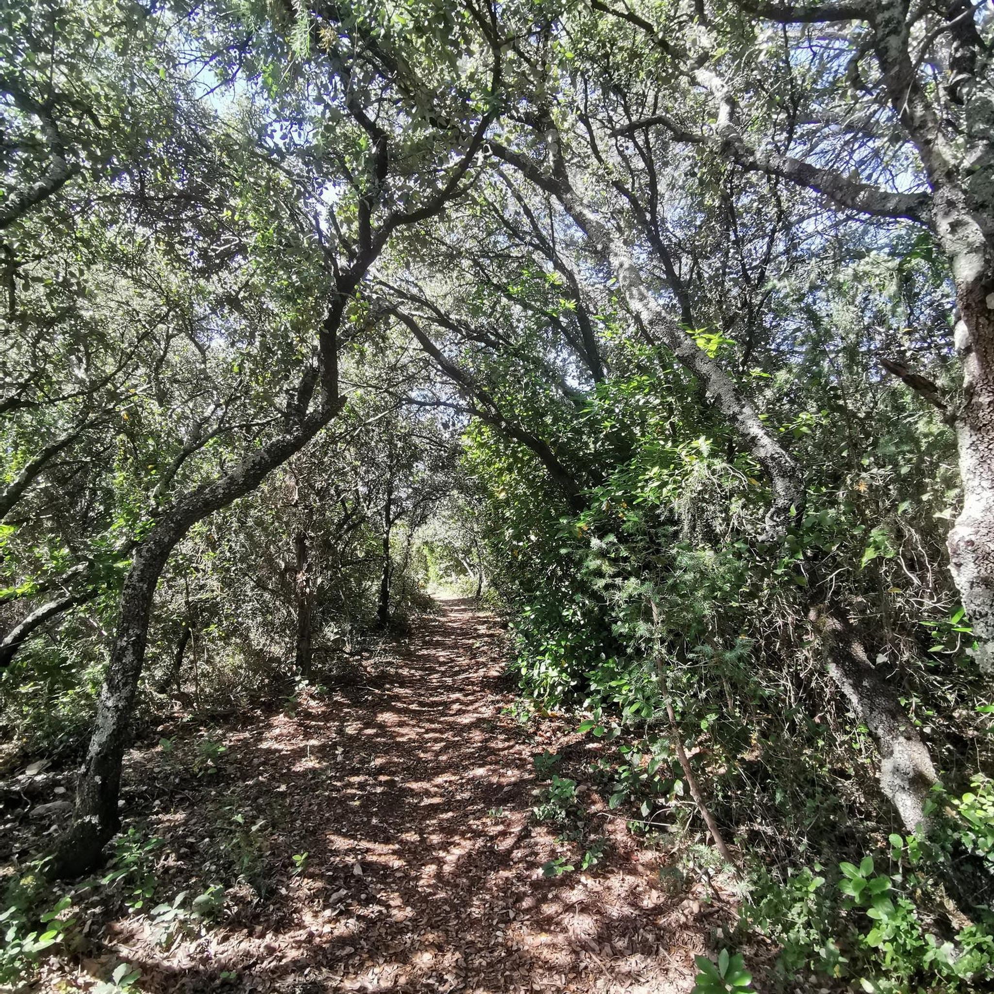
Jogging routes in Sierra Lijar traverse a Jurassic limestone mountain range, offering diverse landscapes for outdoor activity. The region features undulating reliefs, rocky ridges, and valleys, with elevations reaching over 1,000 meters. Mediterranean mountain vegetation, including holm oaks and wild olive trees, covers the slopes, providing shaded tracks. Numerous rivers and streams furrow the area, contributing to the varied terrain.
Best jogging routes in Sierra Lijar
- The most popular jogging route is Sierra de Líjar Loop, a 13.8 miles…
Last updated: July 7, 2026
1
runners
22.2km
02:53
770m
770m
Hard run. Very good fitness required. Sure-footedness, sturdy shoes and alpine experience required.
8
runners
7.98km
00:51
120m
120m
Moderate run. Good fitness required. Mostly paved surfaces. Suitable for all skill levels.

Sign up for free
11
runners
15.0km
02:11
740m
740m
Hard run. Very good fitness required. Mostly paved surfaces. Suitable for all skill levels.
3.0
(1)
2
runners
11.3km
01:20
300m
300m
Hard run. Very good fitness required. Mostly paved surfaces. Suitable for all skill levels.
5
runners
6.40km
00:48
160m
160m
Moderate run. Good fitness required. Mostly paved surfaces. Suitable for all skill levels.
Get access to more routes and recommendations from other explorers.
Sign up for free
Already have an account?
Our route recommendations are based on thousands of hikes, rides, and runs completed by other people on komoot.
Start today with a free account
Your next adventure awaits.
Login or Signup
Tips from the Community

The Sierra de Líjar mountain range, in Algodonales (Cádiz), is one of Europe's most renowned destinations for paragliding and hang gliding, thanks to its stable weather conditions, spectacular views, and specialized infrastructure.
2
0
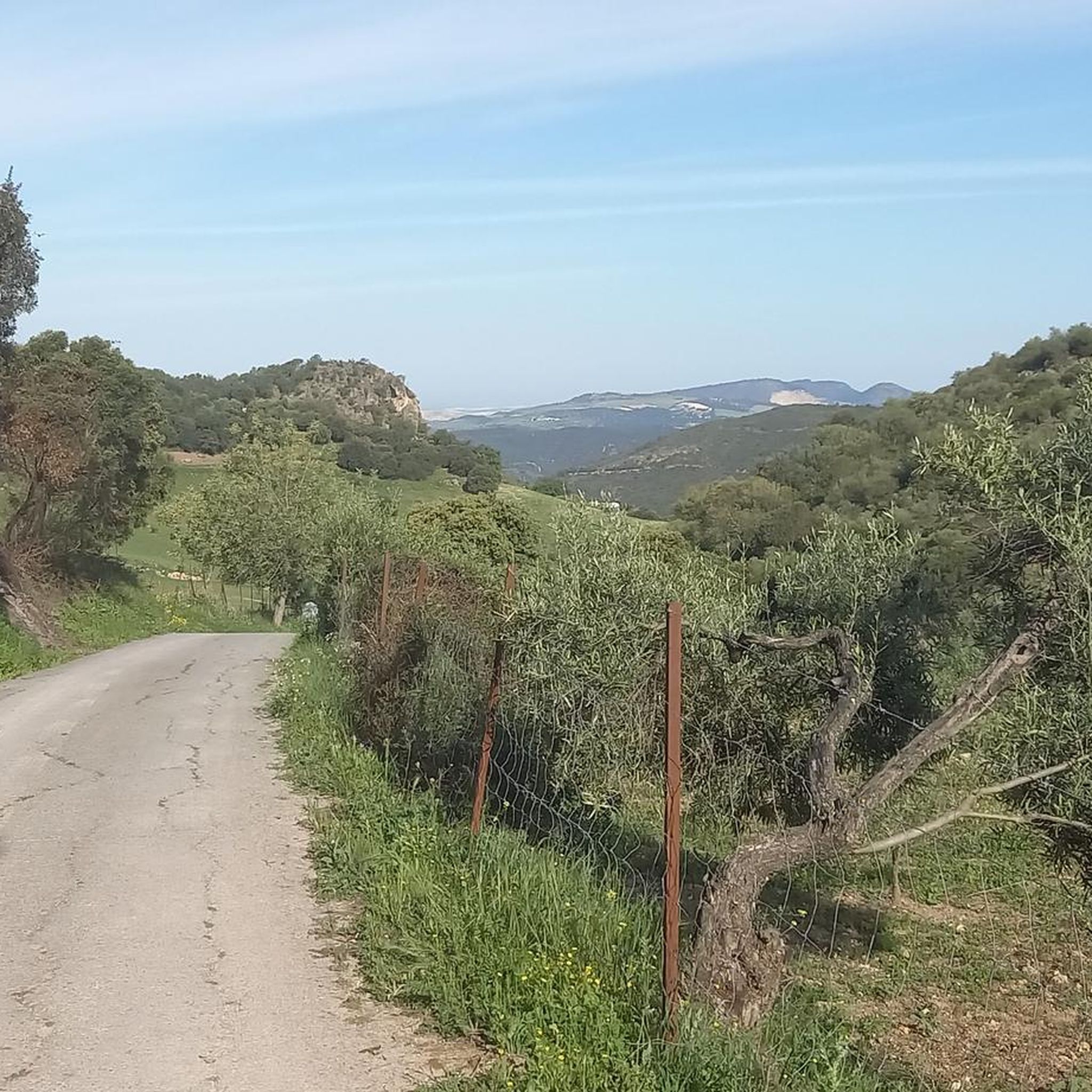
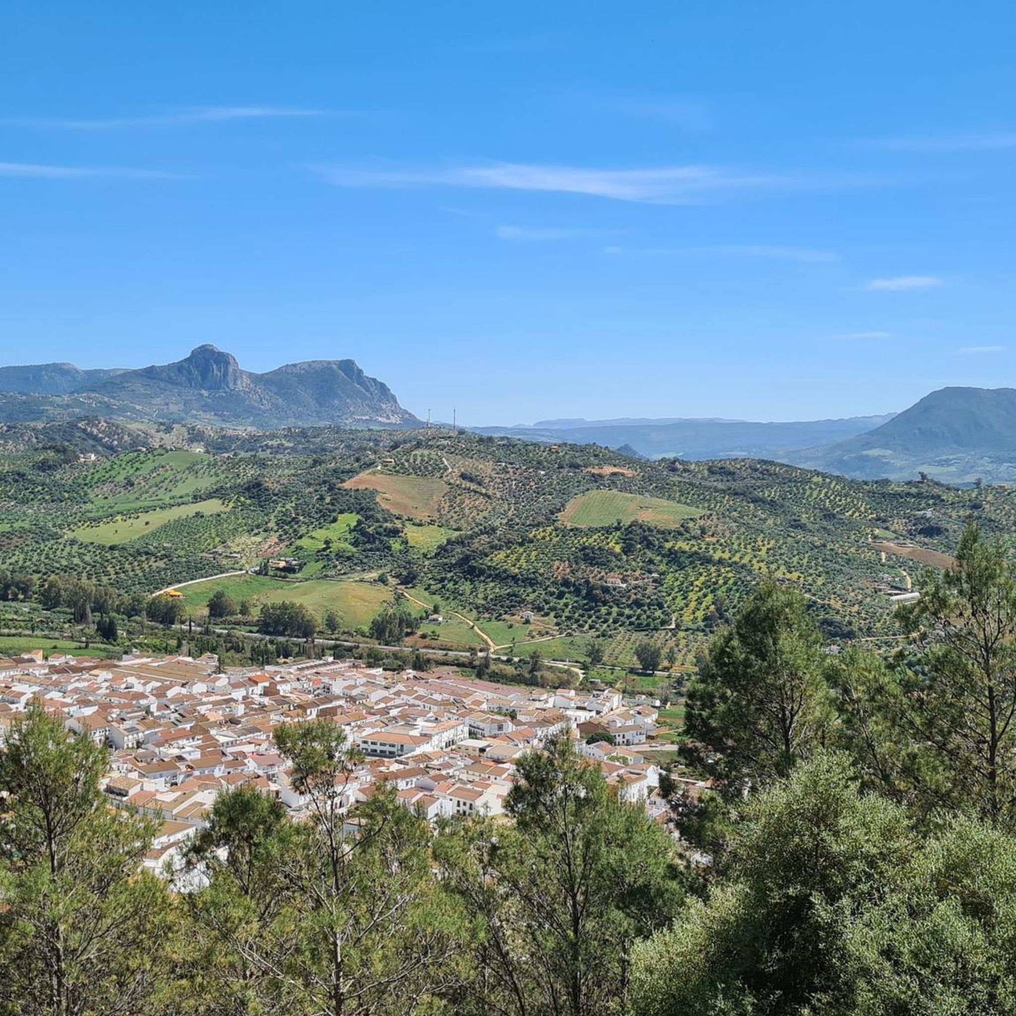
The Mirador de Levante is located at the top of the Sierra de Líjar, in Algodonales, Cádiz. This viewpoint offers stunning panoramic views of the natural surroundings, including the town of Zahara de la Sierra and its reservoir, the Sierra de Grazalema Natural Park, and Algodonales itself. From the viewpoint, you can admire spectacular views of the surrounding landscapes, including the Peña de los Enamorados de Antequera and, on clear days, as far as the Sierra Nevada.
7
0

Fantastic views: Zahara de la Sierra, Zahara de la Sierra Reservoir, Algodonales, and from other points you can see more towns in the Sierra de Cádiz (Olvera, El Castor, Bornos...
1
1
Special track to spend time watching the people who practice paragliding. You can see the views of the surrounding mountains such as the Sierra de la Nava or the Río Guadalete valley.
0
1
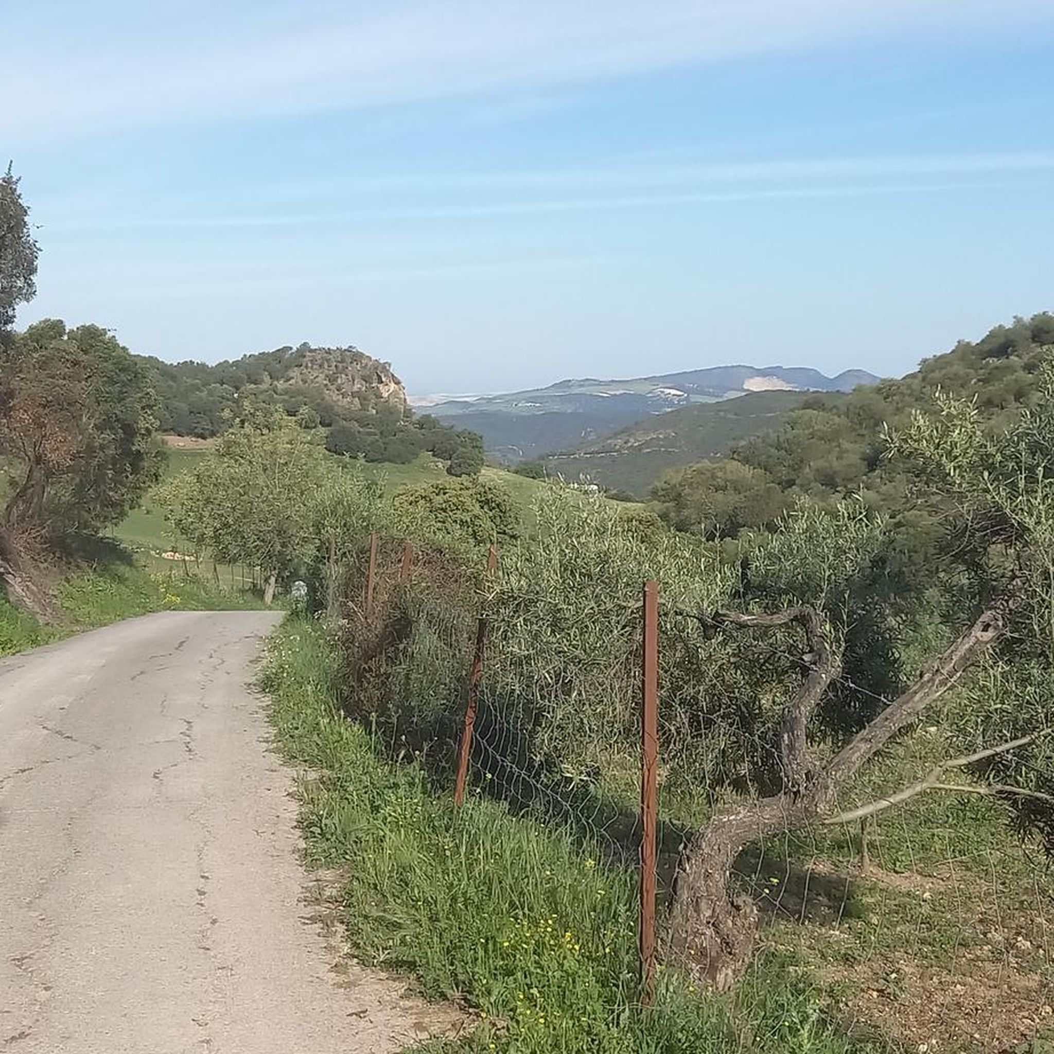
On this path you can observe impressive views of the foothills of the Sierra de Líjar, where you can see the panorama where the town of La Muela is located.
0
0
Highest part of the Sierra de Líjar where you can see an impressive panorama of the whole area, where at the foot of the mountain range you can see the main population of the area, Algodonales!
2
0
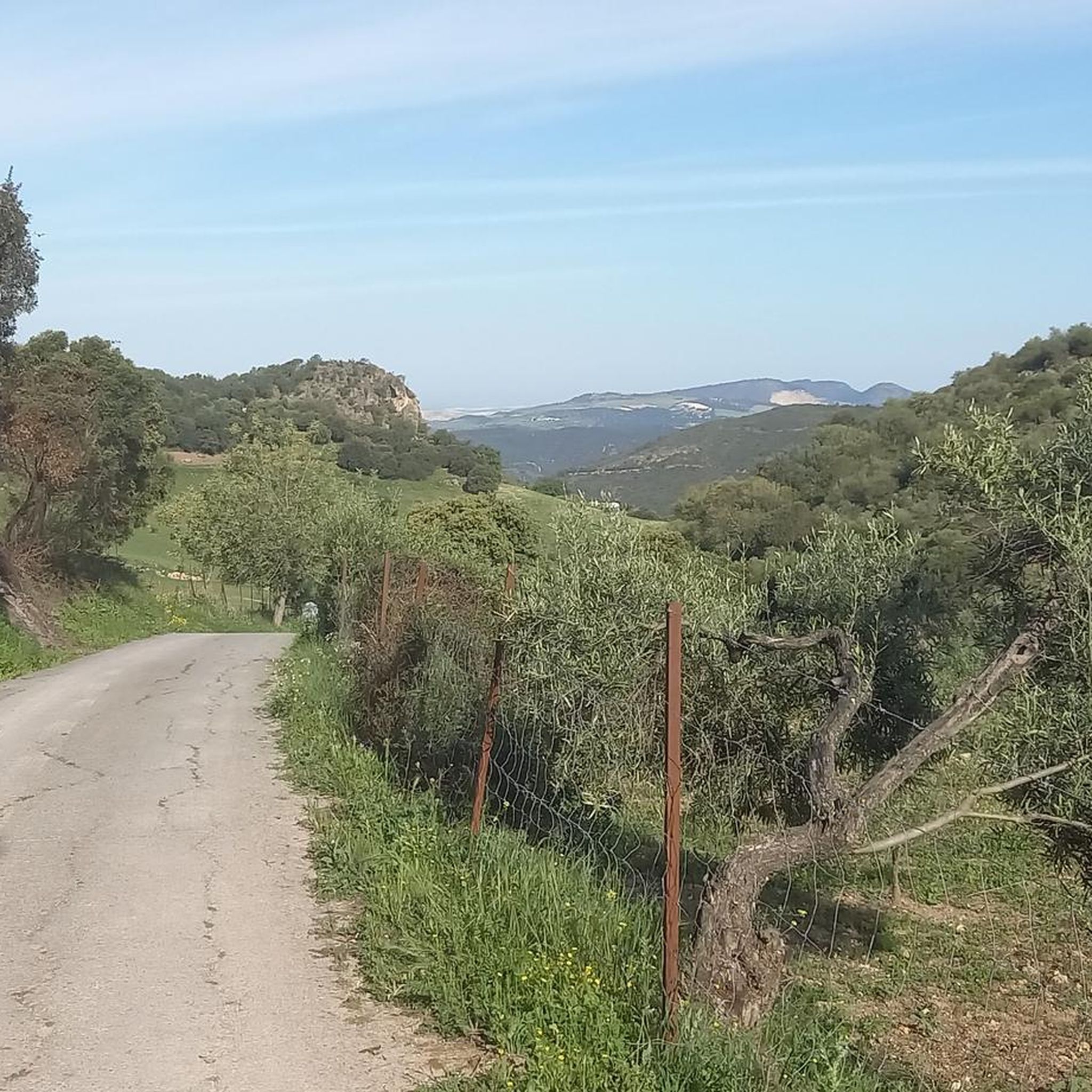
Old walls and spaces that had been part of houses that had been inhabited in the Sierra de Líjar.
1
0
Frequently Asked Questions
How many running routes are available in Sierra Lijar?
Sierra Lijar offers a wide selection of running routes, with nearly 70 trails available on komoot. These routes cater to various fitness levels, ranging from moderate paths to challenging trails with significant ascents.
Are there any easy jogging paths suitable for beginners in Sierra Lijar?
While many routes in Sierra Lijar involve significant elevation, there are moderate options available. For example, the Running loop from Algodonales is a moderate 6.1-mile (9.8 km) path that provides a balanced experience through varied terrain, making it a good choice for those looking for a less strenuous run.
What kind of terrain can I expect on the running trails in Sierra Lijar?
The terrain in Sierra Lijar is quite diverse, characterized by a Jurassic limestone mountain range. You'll encounter undulating reliefs, rocky ridges, and valleys, with elevations reaching over 1,000 meters. The slopes are covered with Mediterranean mountain vegetation like holm oaks and wild olive trees, offering shaded tracks, while some areas feature steep landscapes along rivers and streams.
Are there any circular jogging routes in Sierra Lijar?
Yes, Sierra Lijar features several circular running routes. A notable challenging option is the Sierra de Líjar Loop, which is 13.8 miles (22.2 km) long and offers significant elevation gain. For a moderate circular run, consider the Mirador del Dornajo loop from Algodonales, a 6.2-mile (10.0 km) trail through scenic landscapes.
What do other runners enjoy most about the trails in Sierra Lijar?
The running routes in Sierra Lijar are highly rated by the komoot community, with an average score of 4.2 stars from 12 reviews. Runners often praise the diverse landscapes, the challenging ascents, and the stunning panoramic views from various points, especially from the peak of Sierra Lijar.
Are there any scenic viewpoints or attractions along the running routes?
Absolutely! Sierra Lijar offers spectacular views. You can find several viewpoints, such as the Levante Viewpoint, Sierra de Líjar, and Levante Viewpoint (El Mogote). These spots provide sweeping vistas of the surrounding forested hillsides and the diverse landscape.
What is the best season for running in Sierra Lijar?
Sierra Lijar can be enjoyed year-round, but the Mediterranean climate means summers can be very warm. Spring and autumn generally offer the most pleasant temperatures for running. The presence of shaded tracks from holm oaks and wild olive trees can make some routes enjoyable even during warmer months, but always consider the elevation and sun exposure.
Are there any running routes that are suitable for families?
While the guide data doesn't specifically label routes as 'family-friendly,' the region offers a range of difficulty levels. Paths with minimal elevation gain, often found closer to towns like Algodonales, would be more suitable for families. Always check the route's distance and elevation profile on komoot to ensure it matches your family's fitness level.
Is parking available near the trailheads in Sierra Lijar?
Yes, parking is generally available near the trailheads, especially in and around the charming white-washed villages like Algodonales and Olvera, which serve as common starting points for many routes. It's advisable to check specific route details on komoot for precise parking information for your chosen trail.
Can I reach the running trails in Sierra Lijar using public transport?
While direct public transport to every trailhead might be limited, the region is accessible via public transport to nearby towns such as Algodonales and Olvera. From these towns, you can often find local connections or access trailheads within walking distance or a short taxi ride. Planning your route in advance on komoot can help identify accessible starting points.
Are there any longer, more challenging running routes for experienced runners?
Absolutely. Sierra Lijar is known for its challenging routes, with 44 of the nearly 70 trails rated as difficult. The Sierra de Líjar Loop, at 13.8 miles (22.2 km) with over 760 meters of elevation gain, is a prime example, offering a demanding experience for experienced trail runners.
What kind of wildlife might I encounter while running in Sierra Lijar?
Sierra Lijar is a Special Conservation Area, rich in fauna. The karstic features of the mountains provide habitats for various species, notably bats. The area is also a haven for numerous bird species, especially birds of prey like Imperial eagles, Egyptian vultures, and Bonelli's eagles, offering opportunities for wildlife observation during your run.
Most popular routes in Sierra Lijar
Most popular attractions in Sierra Lijar

Get inspired with the komoot mobile app


Explore more
Browse the best Running Trails & Routes in other regions.
