The best road cycling routes in Desfiladero De Los Gaitanes
4.8
(43)
1,873
riders
40
rides
Road cycling routes in Desfiladero De Los Gaitanes traverse a dramatic landscape characterized by deep gorges, towering limestone cliffs, and varied mountainous terrain. The region, located in Málaga, Spain, is carved by the Guadalhorce River through Jurassic limestones and dolomites, creating a unique natural setting. Cyclists encounter significant elevation changes, scenic reservoirs like El Chorro and Guadalhorce, and impressive rock formations throughout the park. This topography provides a challenging and diverse environment for road cyclists.
Best road cycling routes in…
Last updated: November 4, 2026
5.0
(1)
93
riders
Hard road ride. Very good fitness required. Mostly well-paved surfaces and easy to ride.
43
riders
72.0km
03:46
1,060m
1,060m
Hard road ride. Very good fitness required. Mostly well-paved surfaces and easy to ride.

5.0
(3)
27
riders
17.3km
00:56
350m
350m
Moderate road ride. Good fitness required. Mostly well-paved surfaces and easy to ride.
5.0
(2)
44
riders
125km
06:24
2,140m
2,140m
Hard road ride. Very good fitness required. Some segments of this route may be unpaved and difficult to ride.
28
riders
Hard road ride. Very good fitness required. Mostly well-paved surfaces and easy to ride.
Get access to more routes and recommendations from other explorers.
Already have an account?
Our route recommendations are based on thousands of hikes, rides, and runs completed by other people on komoot.
Start today with a free account
Your next adventure awaits.
Popular around Desfiladero De Los Gaitanes
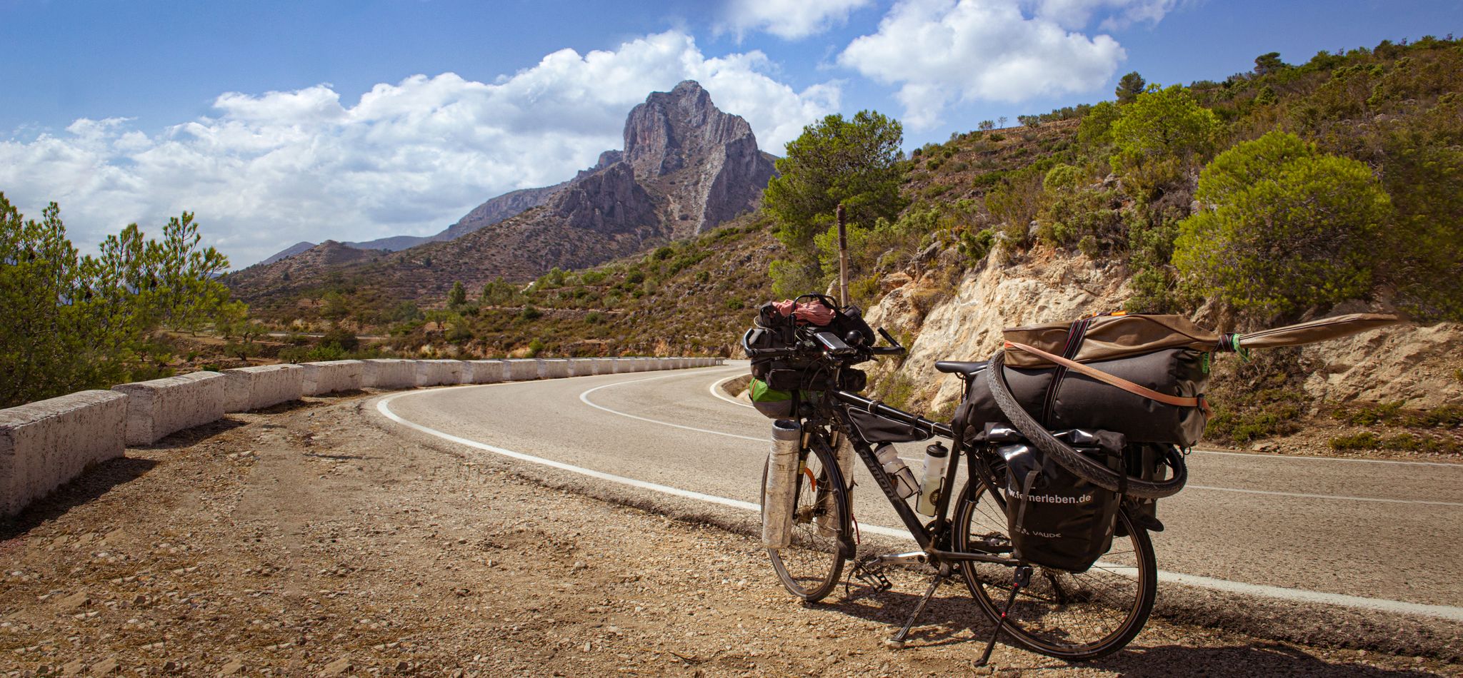
On the road to the sun — bikepacking to southeast Spain
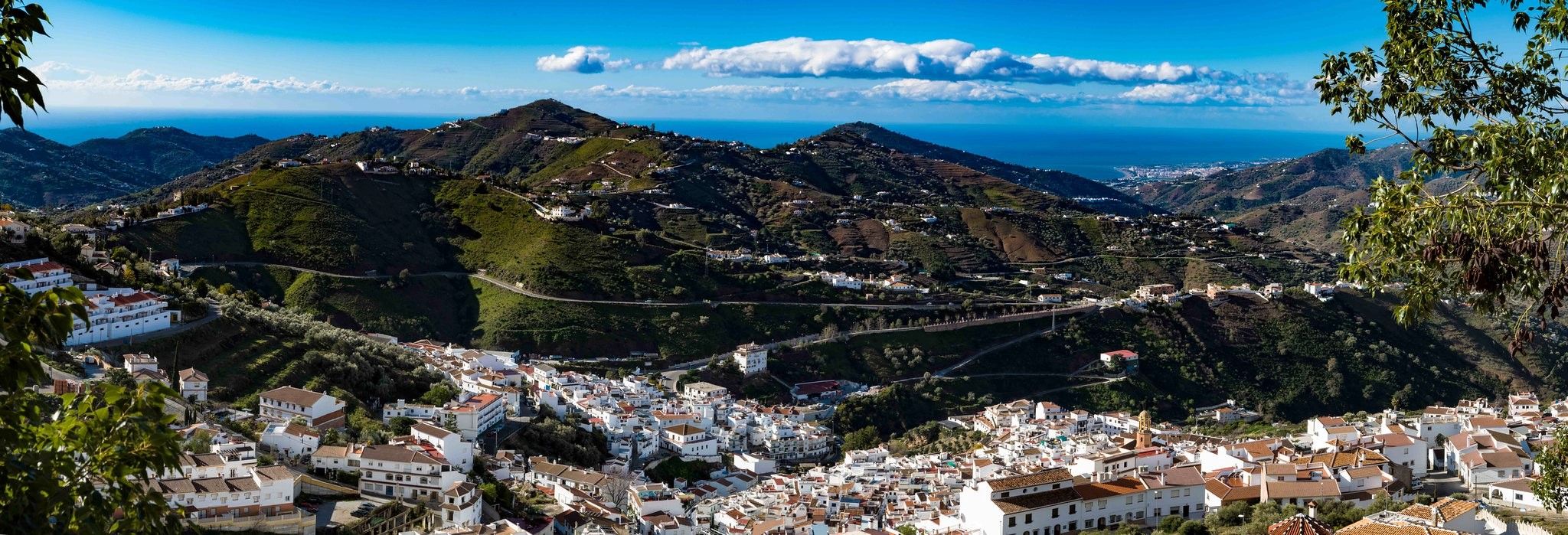
Hike between sea and mountains — Gran Senda de Málaga (GR 249)
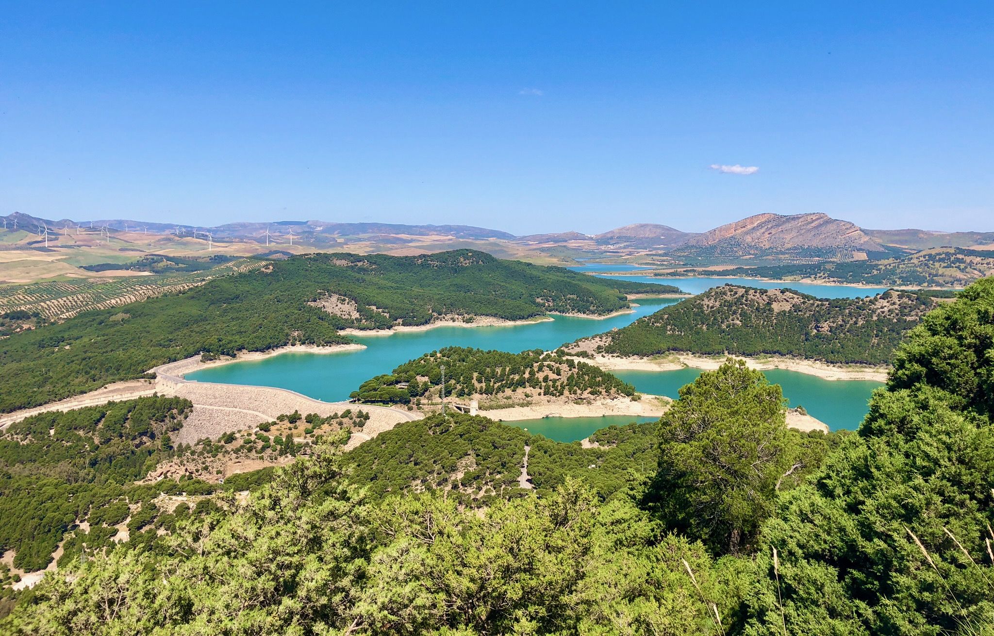
Seven days walking along the Gran Senda de Málaga (GR 249)
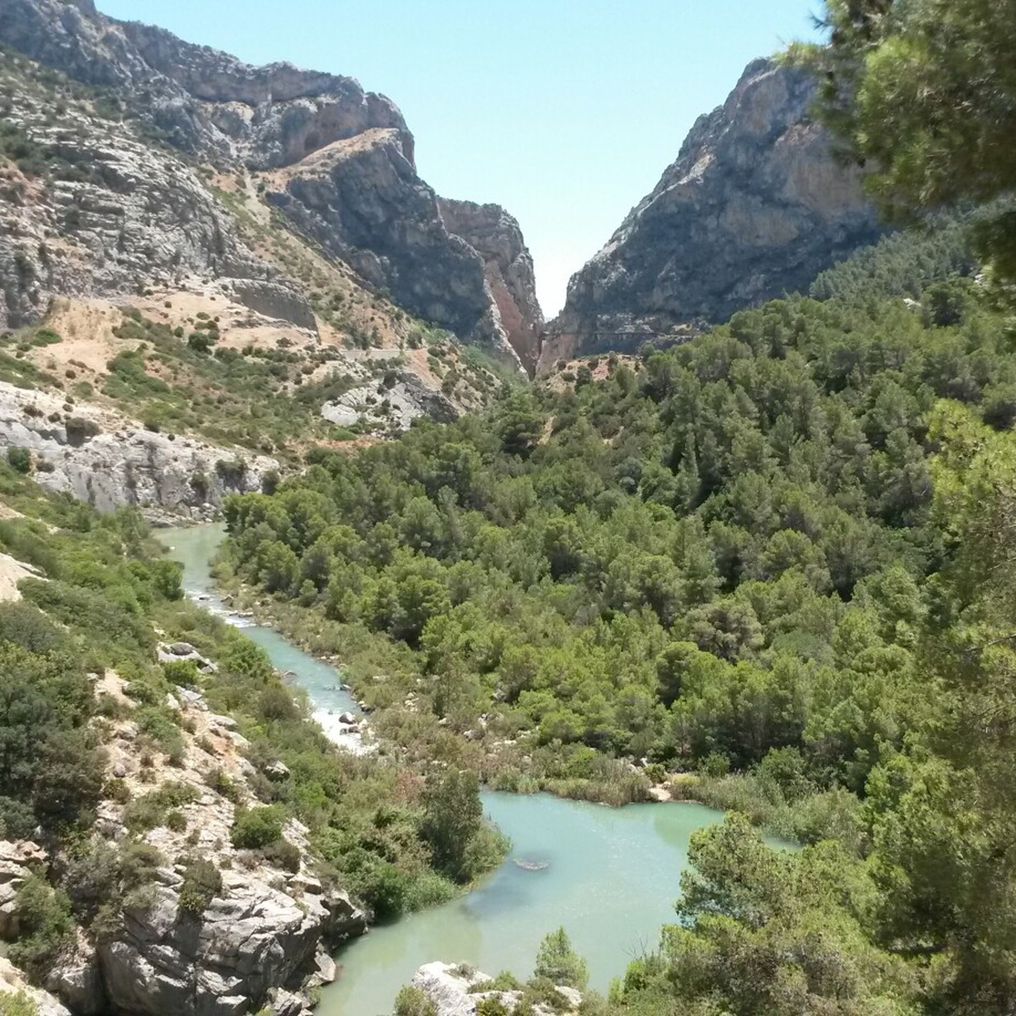
Hiking in Desfiladero De Los Gaitanes
MTB Trails in Desfiladero De Los Gaitanes
Cycling in Desfiladero De Los Gaitanes
Running Trails in Desfiladero De Los Gaitanes

Gravel biking in Desfiladero De Los Gaitanes
Other adventures in Desfiladero De Los Gaitanes


Tips from the Community

Rewarding hike through the Guadalhorce gorge
0
0

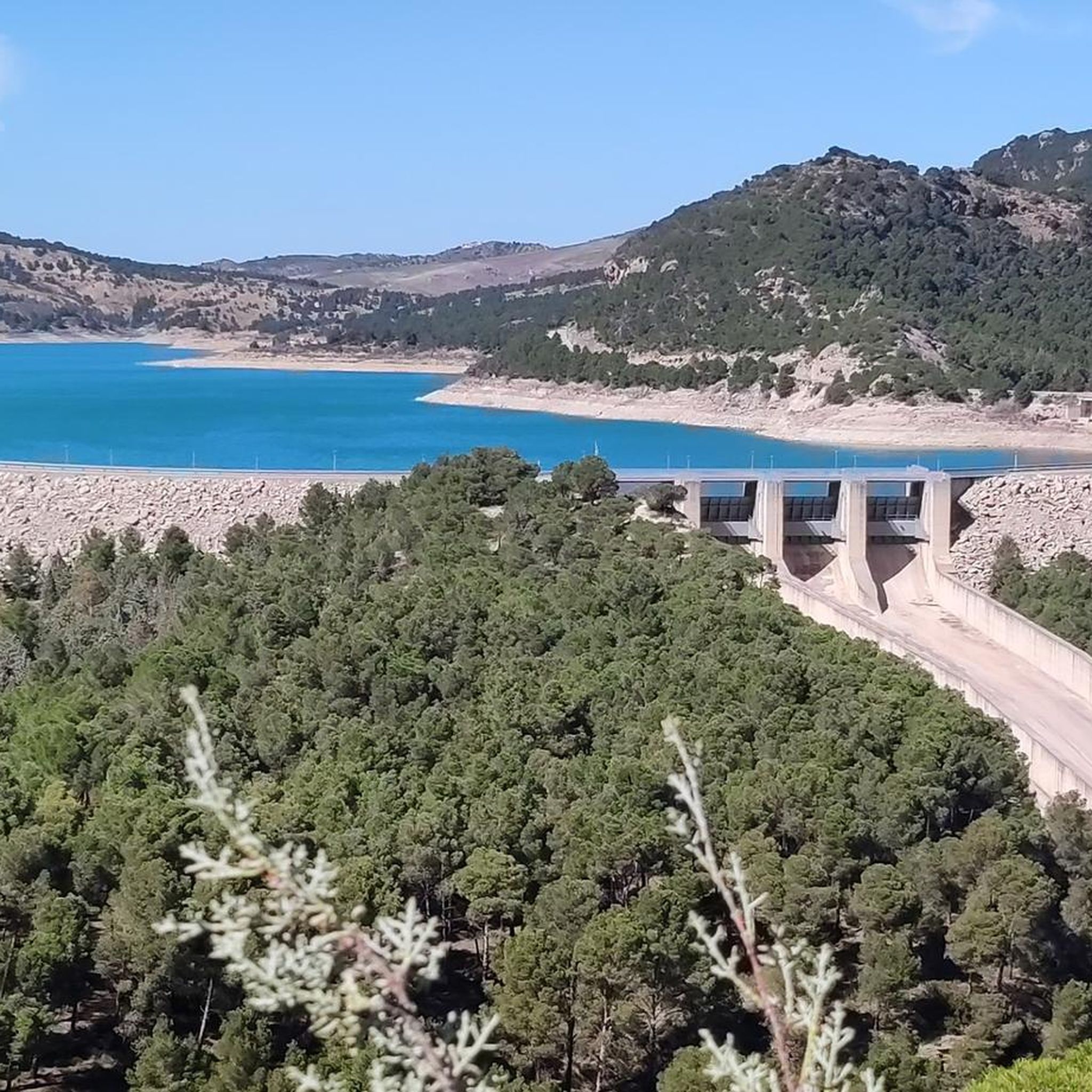
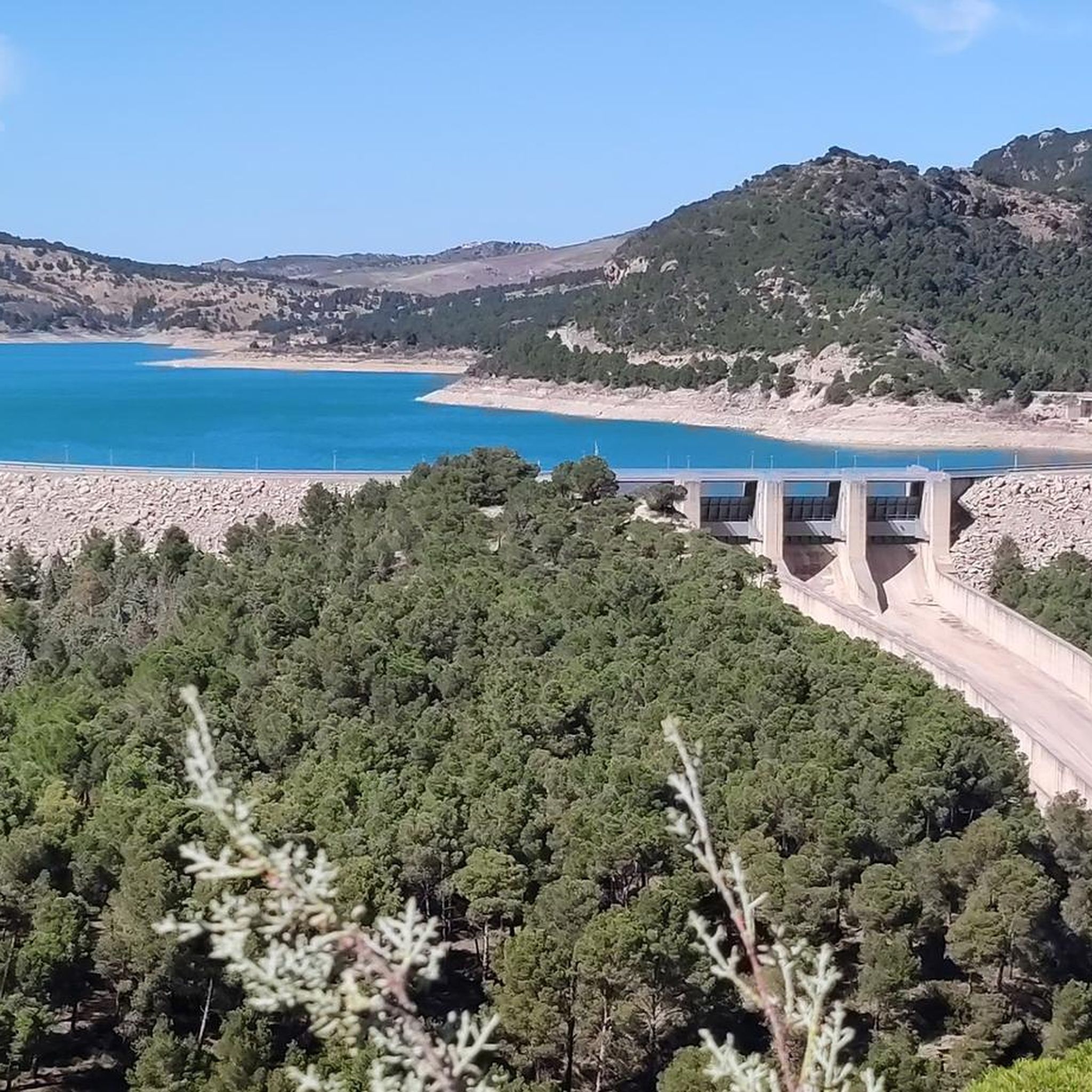
The Conde de Guadalhorce reservoir is nestled in a picturesque mountain landscape near El Chorro and impresses with turquoise water, steep rock faces and tranquil nature, making it a particularly idyllic destination for tours.
1
0

You can cycle right up to the viewpoint, it's worth it! ;)
1
0

On weekends, there is a lot of traffic, but beautiful scenery.
0
0
Beautiful views of the popular Caminito del Rey
1
0

The Garganta del Chorro is an impressive rock gorge in the region of Málaga. Also known as the Desfiladero de los Gaitanes, this gorge is over 5 kilometres long and 10 metres wide, with rock walls that are sometimes 400 metres high. The Guadalhorce River winds through it and ends in the Tajo de la Encantada reservoir. It is a popular spot for nature lovers and hikers, especially since the reopening of the Caminito del Rey in 2015
7
0
View of El Burgo from where the climb to Puerto del Viento begins.
9
0
Frequently Asked Questions
How many road cycling routes can I find in Desfiladero De Los Gaitanes?
Desfiladero De Los Gaitanes offers nearly 40 road cycling routes, catering to various skill levels. You'll find a mix of moderate and difficult trails, with a few easier options available for a more relaxed ride.
What are the typical difficulty levels for road cycling routes in this region?
The road cycling routes in Desfiladero De Los Gaitanes are predominantly moderate to difficult. You can expect significant elevation changes and challenging ascents, making it an ideal destination for cyclists looking for a physical test. For example, the route View of Caminito del Rey – Caminito del Rey loop from El Chorro-Caminito del Rey is rated difficult, while Caminito del Rey – Steep climb in El Chorro loop from Parking Ardales is a moderate option.
Are there any family-friendly road cycling options in Desfiladero De Los Gaitanes?
While many routes feature challenging climbs, there are a few easier road cycling options suitable for families or those preferring a less strenuous ride. These routes often provide a gentler introduction to the region's stunning scenery without the intense elevation gains of the more advanced trails.
What kind of landscapes will I experience while road cycling here?
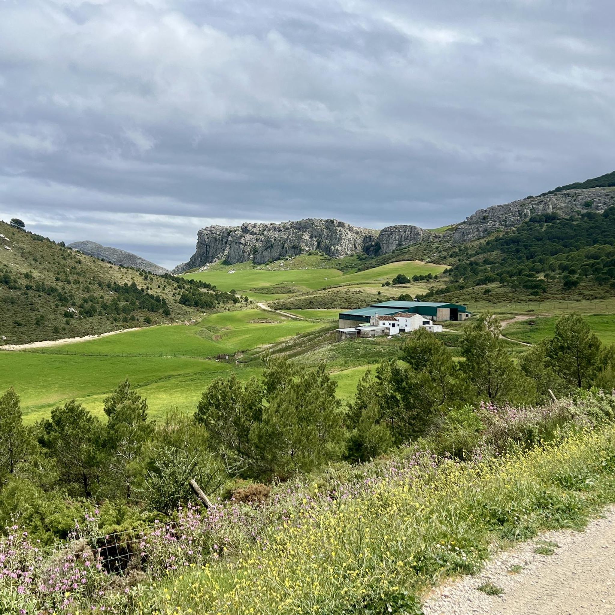
Road cycling in Desfiladero De Los Gaitanes takes you through dramatic landscapes characterized by deep gorges, towering limestone cliffs, and varied mountainous terrain. You'll encounter impressive rock formations, scenic reservoirs like El Chorro and Guadalhorce, and breathtaking views carved by the Guadalhorce River.
Can I combine road cycling with a visit to the Caminito del Rey?
Yes, many road cycling routes pass near the entrance to the Caminito del Rey. While the walkway itself is for hikers, its proximity allows cyclists to enjoy a challenging ride and then explore this iconic path on foot. Routes like View of Caminito del Rey – Caminito del Rey loop from El Chorro-Caminito del Rey offer extensive views of the El Chorro area.
What are some notable natural attractions or viewpoints along the cycling routes?
The region is rich in natural beauty. You can cycle past the stunning El Chorro Gorge, the serene El Chorro and Guadalhorce Reservoirs, and numerous viewpoints offering panoramic vistas. Highlights include the Conde de Guadalhorce Reservoir and the Gaitanejo Reservoir Dam. You might also spot local wildlife like griffon vultures soaring above the cliffs.
Are there any interesting geological features or caves to explore near the routes?
Yes, the park has significant geomorphological interest with fascinating geological formations and over 20 caves. Some routes pass near notable cave systems, such as Túnel de los Tafonis or the Cave Houses of Sierra Parda. These offer unique opportunities to explore the region's rich geological heritage.
What do other cyclists say about road cycling in Desfiladero De Los Gaitanes?
The road cycling routes in Desfiladero De Los Gaitanes are highly rated by the komoot community, with an average score of 4.9 stars from over 30 reviews. Cyclists often praise the dramatic scenery, challenging climbs, and the unique experience of riding through such a geologically rich area.
Are there any loop trails for road cycling in the area?
Yes, many of the road cycling routes in Desfiladero De Los Gaitanes are designed as loops, allowing you to start and finish at the same point. Examples include Caminito del Rey – Steep climb in El Chorro loop from Parking Ardales and View of Caminito del Rey – View of El Burgo loop from El Chorro-Caminito del Rey, which offer varied distances and difficulties.
What is the best time of year for road biking in Desfiladero De Los Gaitanes?
The region generally offers pleasant cycling conditions for much of the year. Spring and autumn are particularly ideal, with milder temperatures and less intense sun, making the challenging climbs more enjoyable. Summers can be very hot, while winters are generally mild but can have cooler, wetter days.
Are there any charming villages to visit along the road cycling routes?
Yes, many cycling routes lead through authentic Andalusian villages like Casarabonela and Pizarra. These villages are known for their narrow streets and peaceful rural settings, offering cultural stops and opportunities to experience local life during your ride.
Where can I find parking for road biking in Desfiladero De Los Gaitanes?
Parking is available at key access points to the routes. For instance, the route Caminito del Rey – Steep climb in El Chorro loop from Parking Ardales starts from Parking Ardales, indicating convenient access for cyclists arriving by car.
Most popular routes in Desfiladero De Los Gaitanes
Most popular attractions in Desfiladero De Los Gaitanes

Get inspired with the komoot mobile app


Explore more
Browse the best Road cycling routes in other regions.
