The best walks and hikes in Sierras De Abdalajis Y La Encantada Sur
4.4
(2271)
20,337
hikers
13
hikes
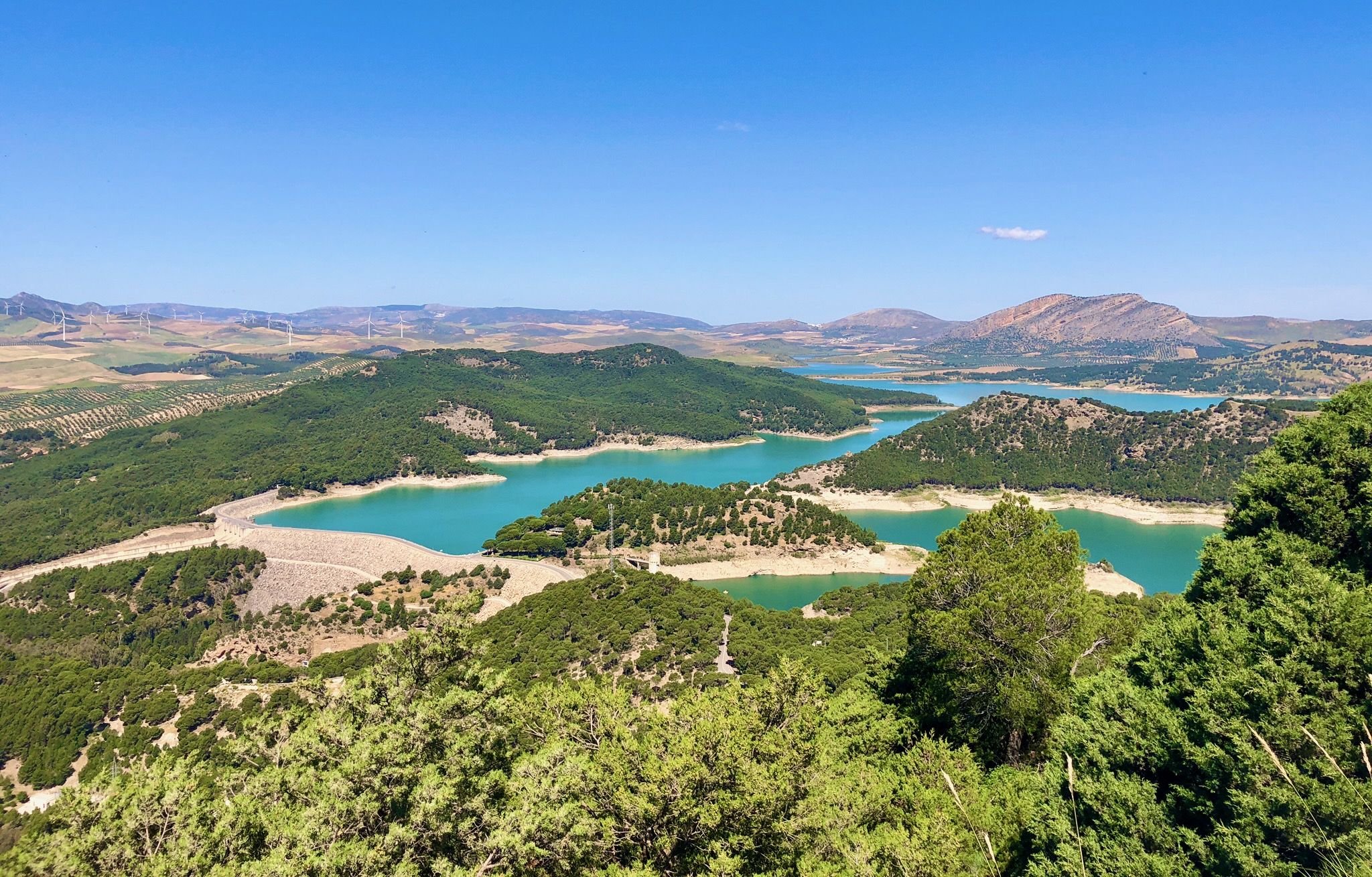
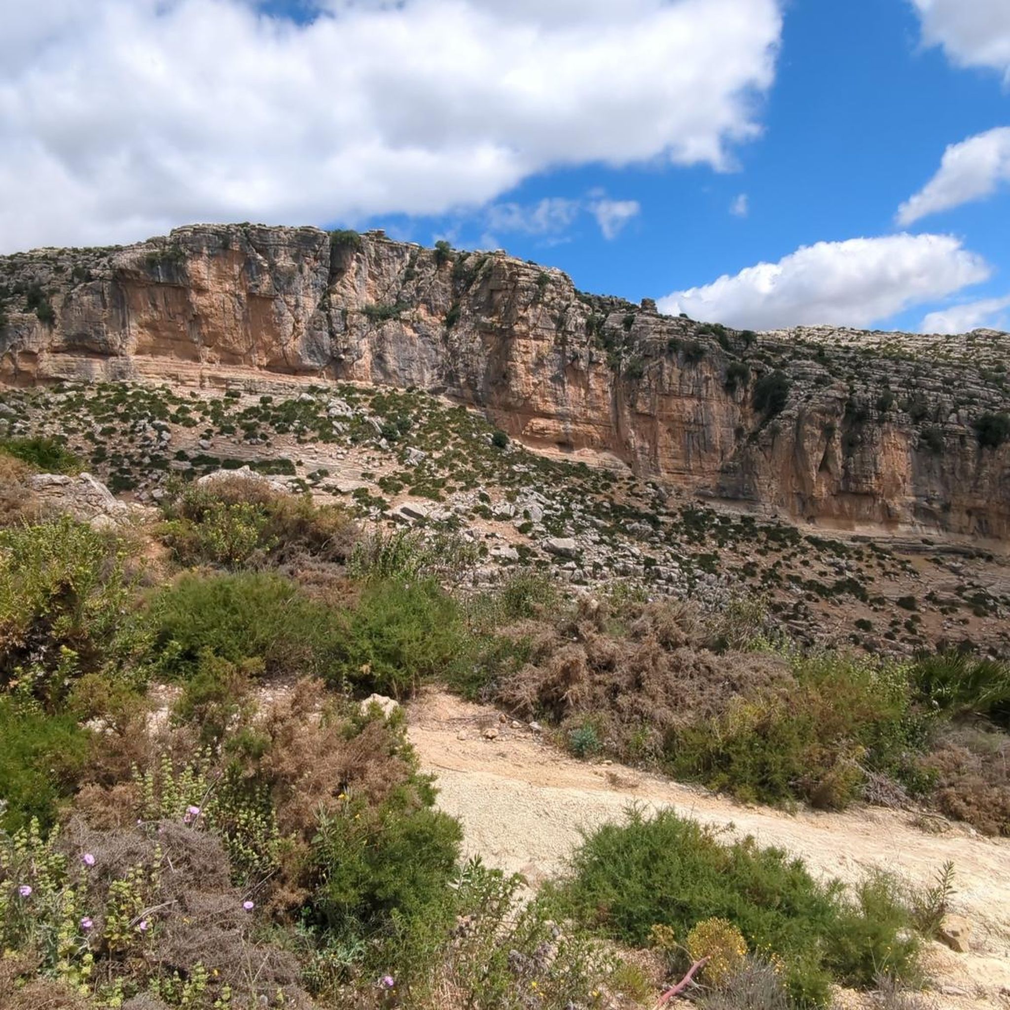
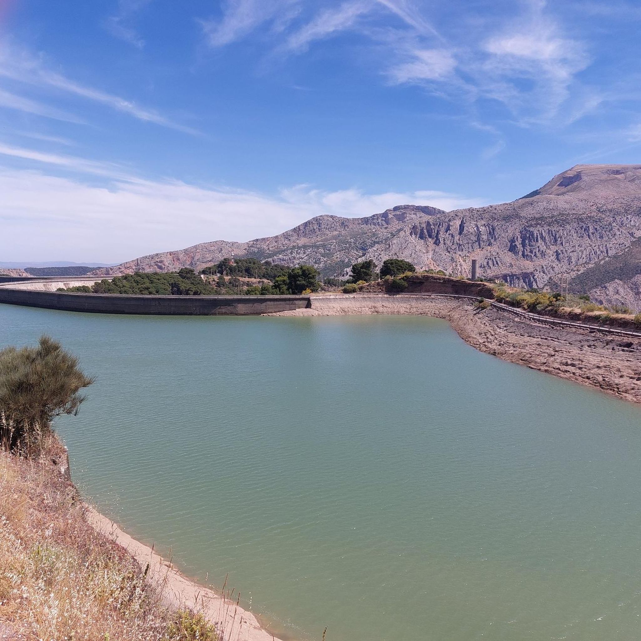
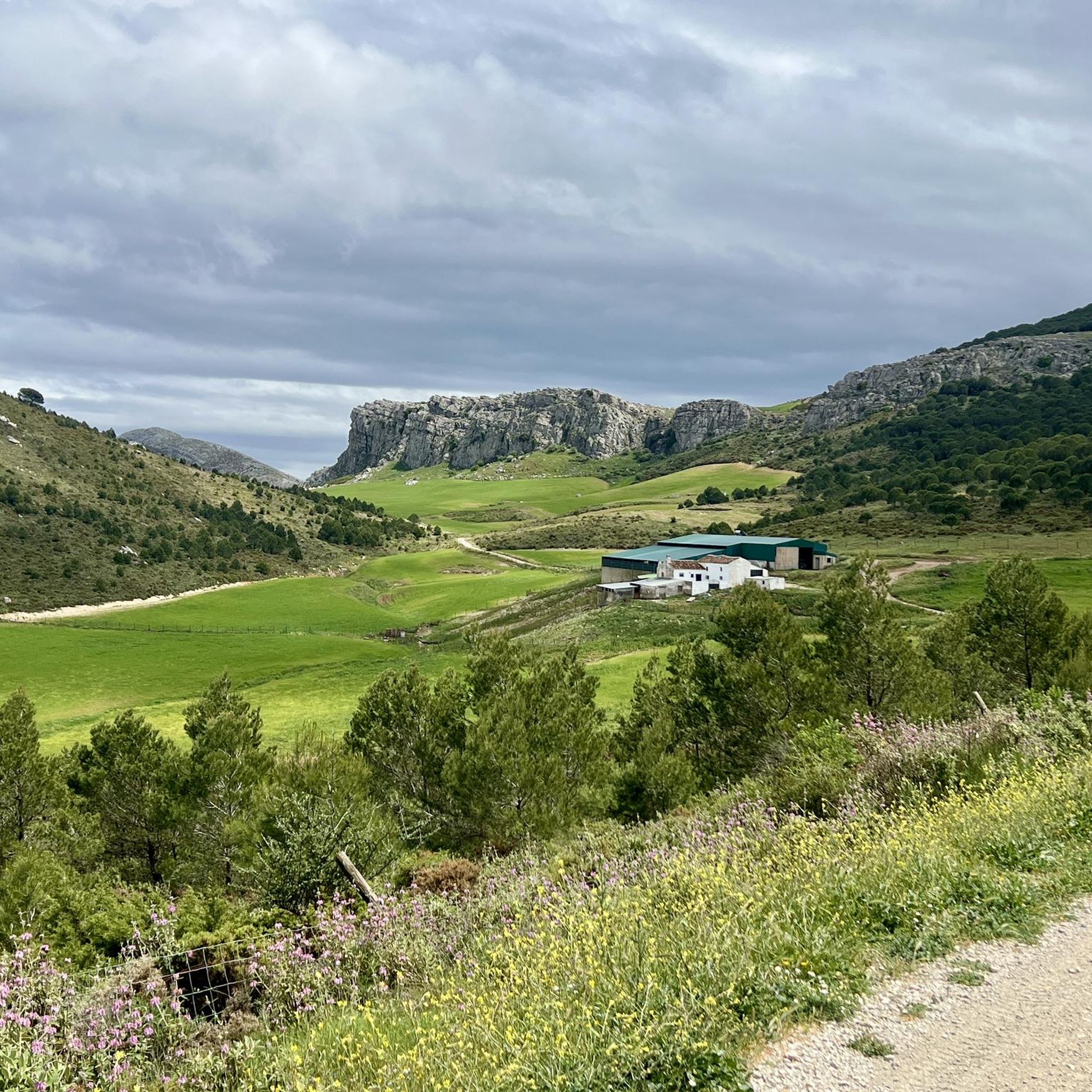
Hiking trails in Sierras De Abdalajis Y La Encantada Sur traverse a mountainous region in Málaga, Spain, characterized by its rugged terrain and significant elevation changes. The landscape features dramatic karstic formations, including lapies and gorges, formed from Jurassic and Lower Cretaceous limestone. Prominent peaks such as Pico de la Capilla (1,188 m) and La Huma (1,191 m) offer extensive views across the area. This Natura 2000 site is also home to diverse fauna, including various bird species.
Best hiking…
Last updated: July 17, 2026
4.9
(11)
42
hikers
7.34km
02:11
220m
220m
Moderate hike. Good fitness required. Easily-accessible paths. Suitable for all skill levels.
5.0
(3)
24
hikers
12.2km
04:14
670m
670m
Moderate hike. Good fitness required. Easily-accessible paths. Suitable for all skill levels.

Sign up for free
4.0
(11)
51
hikers
8.74km
02:29
200m
200m
Moderate hike. Good fitness required. Easily-accessible paths. Suitable for all skill levels.
5.0
(1)
10
hikers
4.16km
01:23
160m
160m
Moderate hike. Great for any fitness level. Mostly accessible paths. Sure-footedness required.
4.5
(2)
5
hikers
9.67km
02:48
250m
250m
Moderate hike. Good fitness required. Easily-accessible paths. Suitable for all skill levels.
Get access to more routes and recommendations from other explorers.
Sign up for free
Already have an account?
Our route recommendations are based on thousands of hikes, rides, and runs completed by other people on komoot.
Start today with a free account
Your next adventure awaits.
Login or Signup
Popular around Sierras De Abdalajis Y La Encantada Sur

Hike between sea and mountains — Gran Senda de Málaga (GR 249)
Seven days walking along the Gran Senda de Málaga (GR 249)
Cycling in Sierras De Abdalajis Y La Encantada Sur
Road Cycling Routes in Sierras De Abdalajis Y La Encantada Sur
MTB Trails in Sierras De Abdalajis Y La Encantada Sur
Running Trails in Sierras De Abdalajis Y La Encantada Sur

Gravel biking in Sierras De Abdalajis Y La Encantada Sur
Other adventures in Sierras De Abdalajis Y La Encantada Sur

Tips from the Community

Well-lit tunnel as a shortcut to the start of the Caminito del Rey. A bit low for people 1.90m and taller, otherwise another highlight around the Caminito del Rey. The tunnel is approx. 500m long and you can see the end of the tunnel right from the beginning.
4
0

Very nice sheet pile wall, you can't walk through it
0
0

It is the beginning of the gorge
0
0
Very beautiful landscape
1
1

Short video about hiking in this area could be found on my YouTUBE Channel under the following https://www.youtube.com/watch?v=O9pw2RlrLgA
3
0

Perfect for sunset
0
0

Well worth a few hours visit might also see vultures up in sky
1
1
Frequently Asked Questions
How many hiking trails are there in Sierras De Abdalajis Y La Encantada Sur?
There are over 10 hiking trails available in Sierras De Abdalajis Y La Encantada Sur. The region offers a variety of routes, predominantly moderate in difficulty, with a few easier options suitable for different skill levels.
What kind of terrain can I expect on hikes in Sierras De Abdalajis Y La Encantada Sur?
The terrain in Sierras De Abdalajis Y La Encantada Sur is characterized by its rugged and mountainous nature, with significant elevation changes. You'll encounter impressive karstic formations such as lapies, sinkholes, caves, and gorges, primarily composed of limestone. Expect varied paths, from valleys carved by streams to steep ascents towards prominent peaks.
What are some notable geological features in the Sierras De Abdalajis Y La Encantada Sur?
The region is renowned for its dramatic karstic formations, including lapies, sinkholes, caves, and gorges, which are a result of its limestone composition. A particularly interesting feature is the 'Torcalillo Chico,' a collection of unique limestone rocks, accessible via routes like the Sendero del Torcal del Charcón. The Tajo de los Cabritos also showcases the area's impressive geological history.
Are there any family-friendly hiking options in Sierras De Abdalajis Y La Encantada Sur?
Yes, while many routes are moderate, there are easier trails suitable for families. For instance, the region offers short trails approved by the Andalusian Mountaineering Federation, such as the Sendero del Nacimiento and Sendero de la Ratilla, which are generally less demanding and can be enjoyed with children.
What do other hikers enjoy the most about hiking in Sierras De Abdalajis Y La Encantada Sur?
The area is highly rated by the komoot community, with an average score of 4.3 stars from over 1,600 reviews. Hikers frequently praise the dramatic landscapes, the extensive views from peaks like Pico Huma, and the unique karstic formations. The diverse trails cater to various abilities, making it a popular choice for outdoor enthusiasts.
Are there any circular hiking routes in Sierras De Abdalajis Y La Encantada Sur?
Yes, many of the popular trails in the region are circular, offering convenient starting and ending points. Examples include the View of Guadalhorce Reservoir loop from Río Turón, the Pico Huma – Lookout point loop from Pico de la Capilla, and the Necropolis of Las Aguilillas loop from Pantano del Chorro.
What are some interesting landmarks or viewpoints to discover along the trails?
Hikers can explore several fascinating landmarks and enjoy panoramic views. The Geological Point of Interest: Bobastro and the Entrance to the Mozarabic Ruins of Bobastro offer historical insights. For stunning vistas, visit the Las Mesas de Villaverde Viewpoint, or ascend Pico Huma for extensive views of El Chorro and the distant Málaga coast.
What is the best time of year to go hiking in Sierras De Abdalajis Y La Encantada Sur?
While the region can be enjoyed year-round, spring and autumn generally offer the most pleasant hiking conditions with milder temperatures. Summers can be very hot, making early morning or late afternoon hikes preferable. Winters are typically mild, though higher elevations might experience cooler temperatures.
Are there any long-distance hiking routes that pass through this region?
Yes, the Sierras de Abdalajís y La Encantada Sur are part of significant long-distance networks. The GR7 / European Trail E4, one of Europe's longest routes, traverses the area. Additionally, the Gran Senda de Málaga passes through the Sierras de Huma and Abdalajís, connecting to the Guadalhorce and Guadalteba reservoirs.
What is the general difficulty level of hiking trails in Sierras De Abdalajis Y La Encantada Sur?
The majority of hiking trails in Sierras De Abdalajis Y La Encantada Sur are classified as moderate, featuring significant elevation gains and varied terrain. There are also a few easier routes available for those seeking a less strenuous experience. Currently, there are no trails rated as difficult in this guide.
Can I bring my dog on the hiking trails in Sierras De Abdalajis Y La Encantada Sur?
Many trails in the Sierras De Abdalajis Y La Encantada Sur are suitable for hiking with dogs, provided they are kept under control, especially due to the diverse wildlife in this Natura 2000 site. Always ensure your dog is well-behaved and that you carry waste bags. It's advisable to check specific trail regulations before heading out.
Most popular routes in Sierras De Abdalajis Y La Encantada Sur
Most popular attractions in Sierras De Abdalajis Y La Encantada Sur

Get inspired with the komoot mobile app


Explore more
Browse the best Hikes in other regions.
