The best walks and hikes around Picher
4.4
(209)
921
hikers
80
hikes
Hiking around Picher offers a variety of trails, primarily featuring moderate elevation changes and diverse landscapes. The region's hiking trails often traverse open pastures, forested areas, and connect to local points of interest. Routes are generally well-defined, providing accessible options for exploring the natural surroundings.
Best hiking trails around Picher
- The most popular hiking route is Mermelkuhle Pond, Picher – St. John's Church Picher loop from Picher, a 5.5 miles (8.9 km) trail that takes 2 hours 17 minutes…
Last updated: June 28, 2026
3.0
(2)
8
hikers
Moderate hike. Good fitness required. Easily-accessible paths. Suitable for all skill levels.
7
hikers
8.28km
02:05
10m
10m
Moderate hike. Good fitness required. Easily-accessible paths. Suitable for all skill levels.

Sign up for free
4.0
(1)
4
hikers
12.0km
03:02
20m
20m
Moderate hike. Good fitness required. Easily-accessible paths. Suitable for all skill levels.
4
hikers
Moderate hike. Good fitness required. Easily-accessible paths. Suitable for all skill levels.
2
hikers
7.12km
01:47
10m
10m
Easy hike. Great for any fitness level. Easily-accessible paths. Suitable for all skill levels.
Get access to more routes and recommendations from other explorers.
Sign up for free
Already have an account?
Our route recommendations are based on thousands of hikes, rides, and runs completed by other people on komoot.
Start today with a free account
Your next adventure awaits.
Login or Signup
Tips from the Community

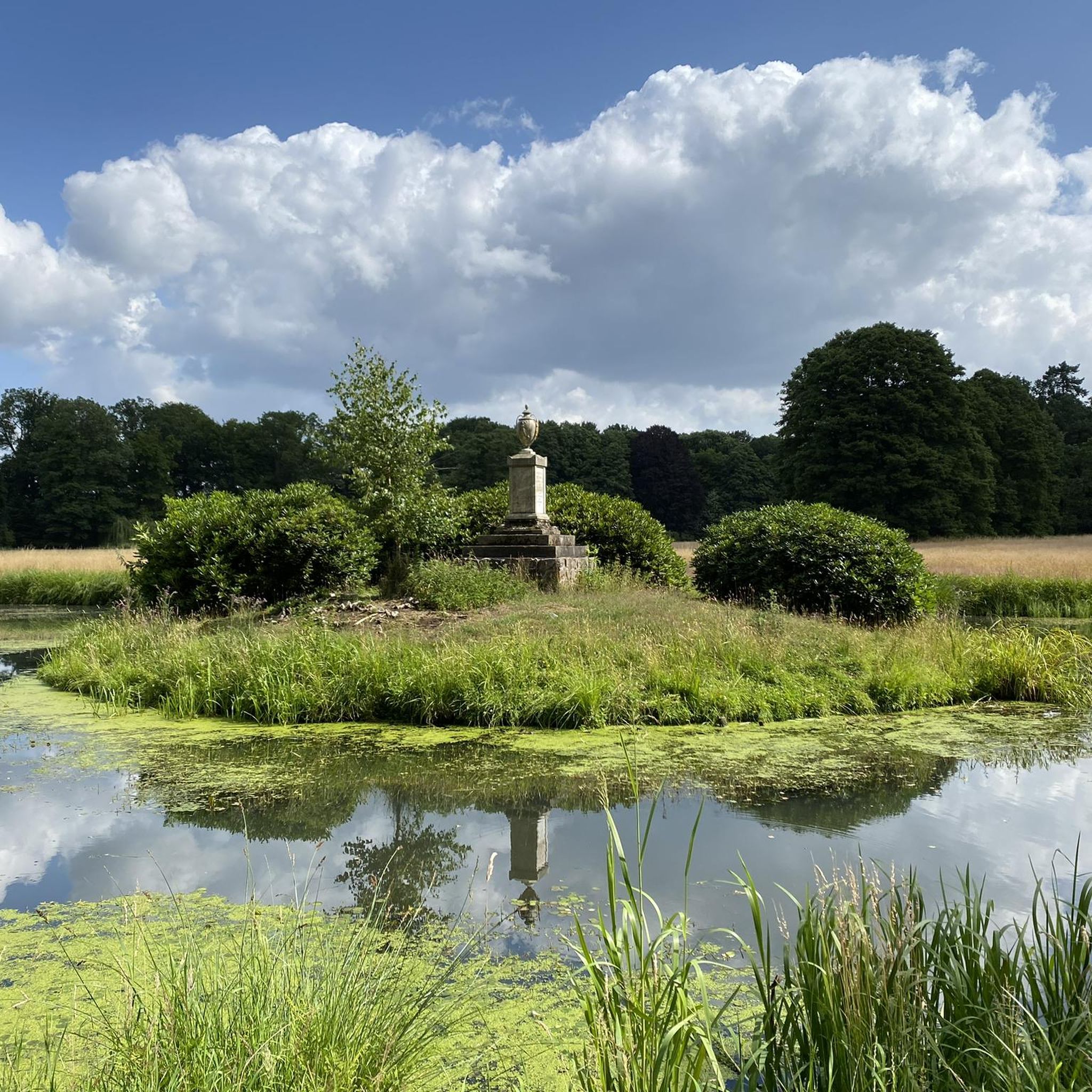
In winter, the vases are packed in wooden boxes.
0
0
There is also an information board here.
0
0

Classic country bakery with delicious bread, rolls and cakes.
0
0
A recently opened café - the only one of its kind in Picher - which is normally open from Friday to Monday afternoons.
0
0

Picher is a municipality in the Ludwigslust-Parchim district in Mecklenburg-Western Pomerania.
0
0

reminds a little of Moritzburg Fasanenschlößchen
0
0


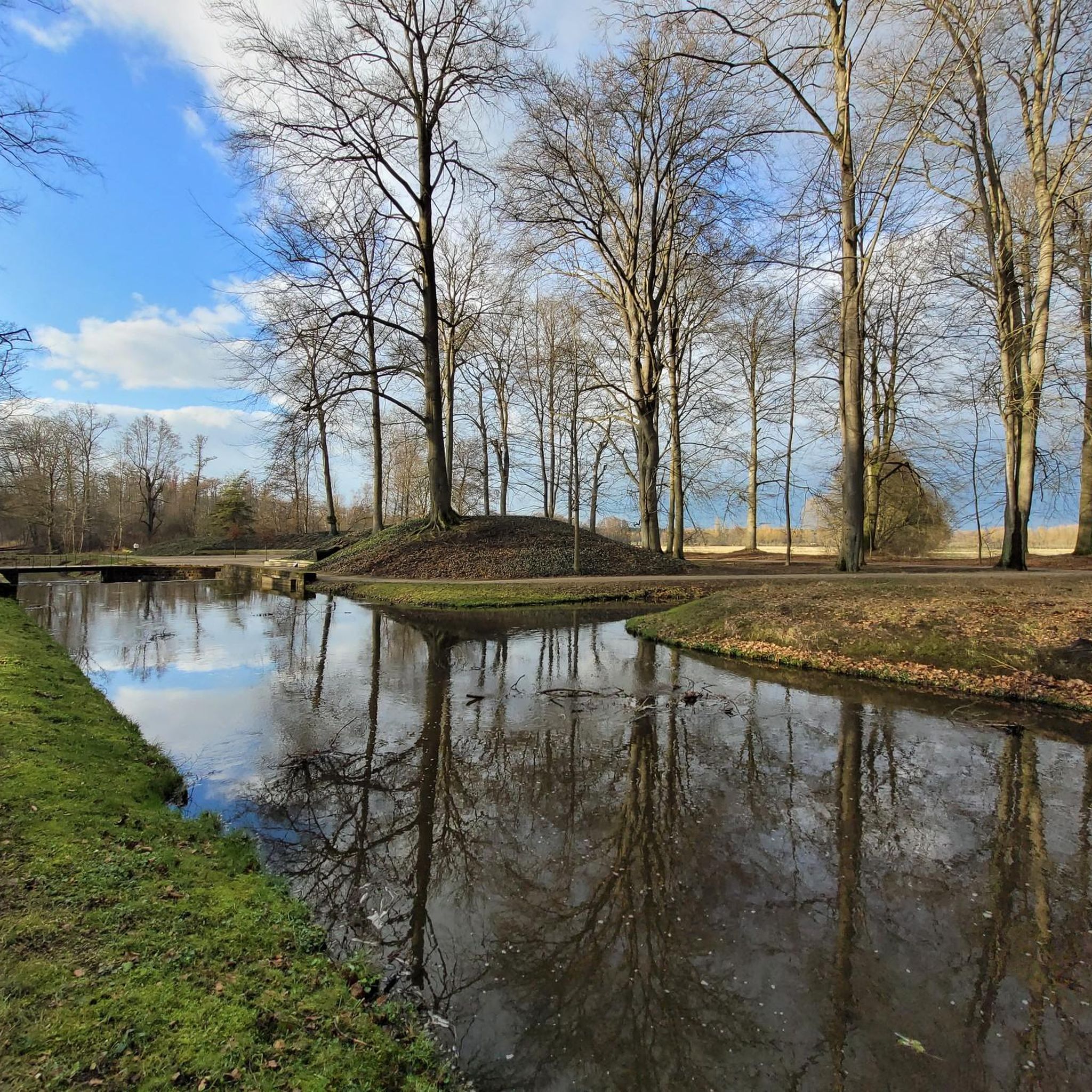
The water features, including the monk, work without electricity, solely through the power of the water.
0
0
Frequently Asked Questions
Is it safe to hike in Picher, Oklahoma?
Picher, Oklahoma, is a former mining town and an EPA Superfund site known for extensive environmental contamination. The area contains hazardous remnants such as toxic chat piles, contaminated water in Tar Creek, and unstable ground due to sinkholes from past mining. It is generally not considered safe for recreational hiking, and extreme caution is necessary if visiting the area. There are no visitor services, and access restrictions should be checked.
What are the main environmental hazards in Picher?
The primary environmental hazards in Picher include towering chat piles, which are hills of toxic mining byproduct containing lead and zinc. Tar Creek is notoriously red and contaminated by acidic water from abandoned mines. Additionally, decades of subsurface excavation have made the ground unstable, posing risks of sinkholes and cave-ins.
Are there any natural features or attractions to see in Picher?
The 'natural features' in Picher are largely the hazardous remnants of its mining past, such as the toxic chat piles and the contaminated Tar Creek. While some rail-trails like the Ruby Jack Trail or Thom Station Trail exist in the broader region, they are separate from the core hazardous zone of Picher itself. The town is primarily recognized for its industrial history, abandoned sites, and ongoing environmental recovery efforts.
What kind of hiking trails are available near Picher?
While Picher itself is not suitable for hiking, the broader region offers some trails. For example, you can find routes like the Forsthof loop from Lüblow, which is an easy 4.4-mile (7.1 km) path. Other routes in the general vicinity might traverse open pastures and forested areas, but it's crucial to distinguish these from the contaminated areas of Picher.
How many hiking routes are there in the general area around Picher?
In the broader region around Picher, there are over 80 hiking routes available. These range from easy strolls to more moderate trails, offering various options for those looking to explore outside the immediate hazardous zone of Picher.
What do other hikers say about the trails in the region?
The hiking routes in the general area are highly rated by the komoot community, with an average score of 4.4 stars from over 190 reviews. Hikers often appreciate the mix of open pastures and wooded sections, as well as routes that connect to local landmarks.
Are there any family-friendly hiking options near Picher?
Given the severe environmental hazards and unstable ground within Picher, it is not suitable for families. However, in the wider region, there are easier trails that might be more appropriate for families. For instance, the Forsthof loop from Lüblow is an easy route that could be considered, but always ensure you are well outside the contaminated Picher area.
Can I bring my dog on hikes in the Picher area?
Due to the extreme environmental contamination and health risks, bringing pets into the Picher Superfund site is strongly discouraged and potentially dangerous for their health. If you plan to hike in the broader region, outside of Picher's hazardous zones, it's advisable to check local regulations for specific trails regarding dogs.
Are there any circular walks available near Picher?
Yes, there are several circular walks in the general vicinity. An example of a moderate circular route is the Pasture view near Rastow – Kraak Church loop from Kraak, which is about 5.1 miles (8.3 km) long and offers open pasture views. Another is the Forsthof loop from Jasnitz, a 7.5-mile (12.0 km) trail through forested areas.
What kind of landmarks or points of interest can be found on trails in the surrounding region?
While Picher itself lacks safe points of interest, trails in the surrounding region might lead to various landmarks. For example, the Mermelkuhle Pond, Picher – St. John's Church Picher loop from Picher includes views of Mermelkuhle Pond and passes by St. John's Church. Other routes in the wider area could connect to places like Ludwigslust Palace or Zachuner Lake.
Are there any easy hiking trails in the area?
Yes, for those seeking easier options outside of Picher's hazardous zones, there are trails classified as easy. One such route is the Forsthof loop from Lüblow, which is 4.4 miles (7.1 km) long and features minimal elevation changes.
Is public transport available to access hiking trails near Picher?
Picher itself is a ghost town with no visitor services, so public transport directly to or within the hazardous area is non-existent. For trails in the broader region, public transport options would depend on the specific starting point of the trail and local services, which are generally limited in rural areas.
Most popular routes around Picher
Most popular attractions around Picher

Get inspired with the komoot mobile app


Explore more
Browse the best Hikes in other regions.
