The best mountain hikes in Jauerling-Wachau
5.0
(2)
59
hikers
9
hikes
Mountaineering routes in Jauerling-Wachau traverse a UNESCO World Heritage cultural landscape, centered around the Jauerling mountain, the highest point along the Danube at 960 meters. The region features a dramatic landscape of rugged cliffs, dense forests, and terraced vineyards shaped by the Danube River. Routes often involve significant elevation gain, leading through varied terrain from sunny slopes to shady woodlands and rocky sections.
Best mountaineering routes in Jauerling-Wachau
- The most popular mountaineering route is Parish church of St. Mauritius –…
Last updated: October 5, 2026
7
hikers
Hard mountaineering route. Very good fitness required. Mostly accessible paths. Sure-footedness required.
4
hikers
8.44km
03:10
480m
480m
Moderate mountaineering route. Good fitness required. Mostly accessible paths. Sure-footedness required.

5
hikers
5.10km
02:42
510m
510m
Hard mountaineering route. Good fitness required. Sure-footedness, sturdy shoes and alpine experience required.
9
hikers
4.64km
02:04
440m
440m
Moderate mountaineering route. Good fitness required. Easily-accessible paths. Suitable for all skill levels.
3
hikers
Moderate mountaineering route. Good fitness required. Easily-accessible paths. Suitable for all skill levels.
Get access to more routes and recommendations from other explorers.
Already have an account?
Our route recommendations are based on thousands of hikes, rides, and runs completed by other people on komoot.
Start today with a free account
Your next adventure awaits.
Popular around Jauerling-Wachau
The Path of Life — A (spiritual) hike through northeastern Austria
The Danube Cycle Path – From Donaueschingen to Budapest
Wachau World Heritage Trail – Danube Valley and Wachau wine country
Cycling in Jauerling-Wachau
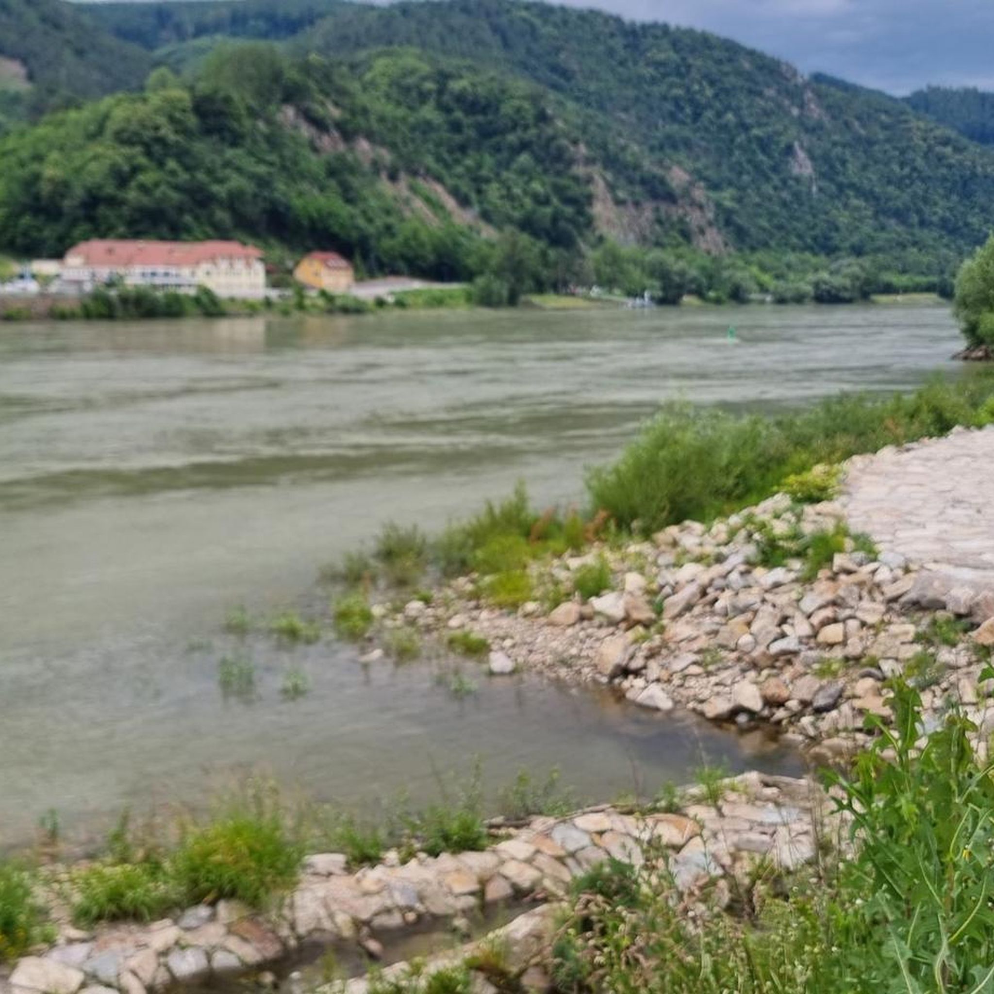
Hiking in Jauerling-Wachau
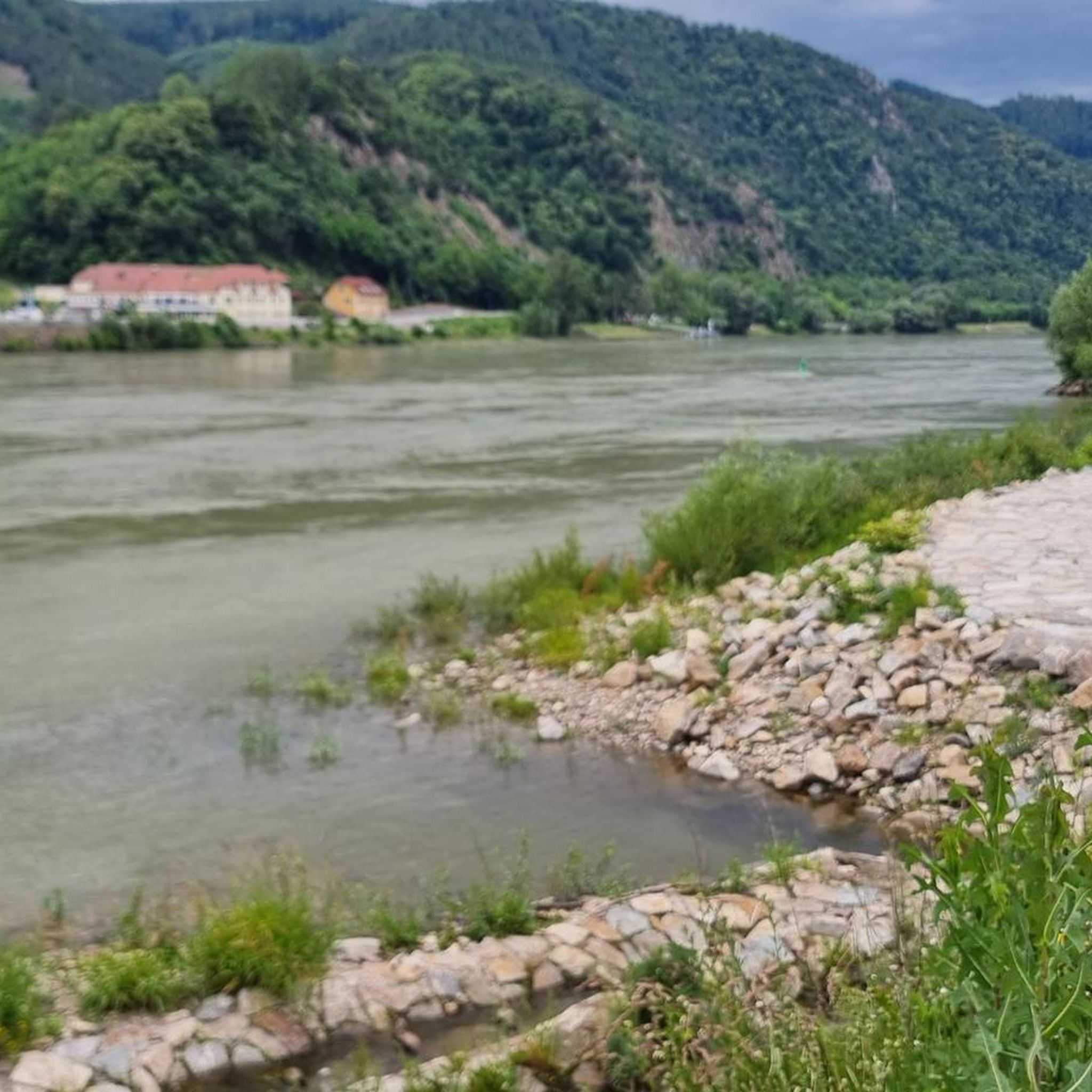
MTB Trails in Jauerling-Wachau
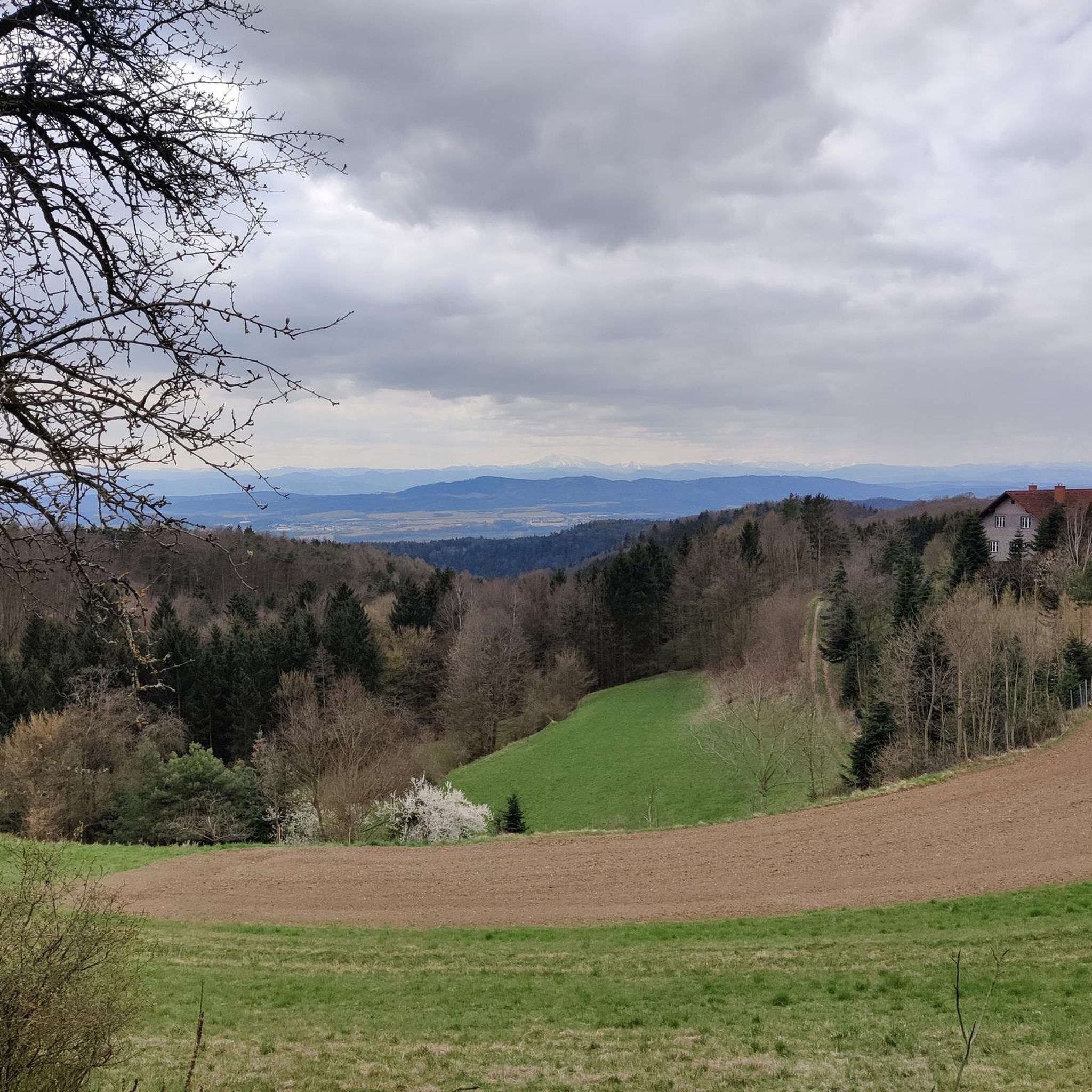
Road Cycling Routes in Jauerling-Wachau
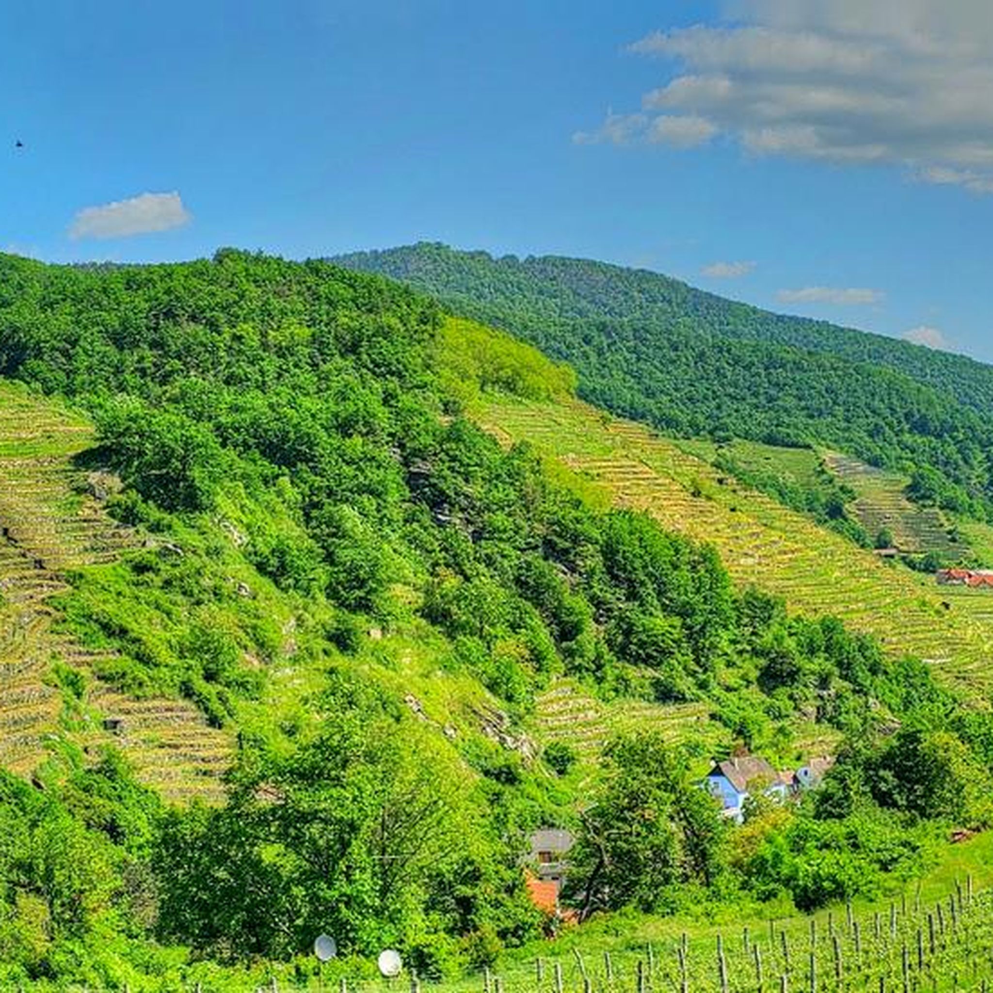
Running Trails in Jauerling-Wachau

Gravel biking in Jauerling-Wachau
Other adventures in Jauerling-Wachau


Tips from the Community

interesting church building with a kink
0
0

The Parish Church of Spitz, dedicated to Saint Mauritius, is a significant religious and cultural landmark of the region. This impressive church invites visitors to discover its magnificent architecture and rich history. Dedicated to Saint Mauritius, the Parish Church radiates an atmosphere of tranquility and spirituality, that has impressed visitors for centuries.
0
0
The war memorial in Spitz an der Donau commemorates the victims of the two World Wars, features a sculpture by artist Paul Paintl, and was renovated by the Österreichischer Kameradschaftsbund.
0
0
In 1163, a Romanesque wooden chapel stood in the village, dedicated to the patron saint of the Niederalteich monastery. The present-day church is a significant work of late Gothic architecture and rises with its mighty west tower in today's Kirchenplatz.
0
0
The parish church of Spitz, consecrated to Saint Mauritius, is a significant religious and cultural landmark of the region. This impressive church invites visitors to discover its magnificent architecture and rich history. Dedicated to Saint Mauritius, the parish church radiates an atmosphere of peace and spirituality, which has impressed visitors for centuries.
0
0
The enjoyment terrace of the Wachau lies on the left bank of the Danube between Krems and Melk. Built around the "Tausendeimerberg", the wine and the Wachau apricots grow in Spitz, right in the middle of the village. The old winegrower's village with its Renaissance and Baroque houses, the wonderful square in front of the late Gothic church from the 15th century invites you to linger. The vineyards rise in terraces around the village.
0
0
Beautiful church with a very nice roof.
0
0

The highest point of the Jauerling is in the middle of the forest; the summit cross is located at the edge of the forest and is a few minutes away from the highest point.
0
0
Frequently Asked Questions
What kind of difficulty can I expect on mountaineering routes in Jauerling-Wachau?
The mountaineering routes in Jauerling-Wachau range from moderate to difficult. You'll find challenging ascents, particularly towards the Jauerling summit, which can involve significant elevation gain and test your endurance. For example, the Parish church of St. Mauritius – Jauerling Observation Tower loop from Spitz a.d. Donau is rated difficult, while the Red Gate – Spitz on the Danube loop from Spitz offers a moderate challenge.
Are there circular mountaineering routes available in Jauerling-Wachau?
Yes, many routes in Jauerling-Wachau are designed as circular tours, allowing you to start and end at the same point. Examples include the difficult Sonnstein loop from Rossatz-Arnsdorf and the moderate Hirschwandsteig Rocky Outcrop – Fahnenwand loop from Rossatz-Arnsdorf.
What natural features or landmarks can I see along the routes?
Jauerling-Wachau, a UNESCO World Heritage cultural landscape, offers diverse scenery. You can expect panoramic views from the Jauerling mountain, often stretching to the Alps and Carpathians on clear days. Routes traverse terraced vineyards, dense forests, and rugged cliffs shaped by the Danube River. Notable landmarks include the Jauerling Observation Tower, the Jauerling Summit Monument, and historical sites like the Hinterhaus Castle Ruins.
When is the best time of year for mountaineering in Jauerling-Wachau?
The region is suitable for outdoor activities throughout much of the year. Spring and autumn offer pleasant temperatures for hiking through vineyards and forests. In winter, Jauerling also provides opportunities for winter walks and even features a small ski area, adding another dimension for outdoor enthusiasts.
Are there family-friendly mountaineering options in Jauerling-Wachau?
While many routes involve significant elevation gain, the Jauerling-Wachau Nature Park offers a wide network of over 350 kilometers of trails, including some family-friendly options. It's advisable to check individual route descriptions for specific difficulty and length to ensure they are suitable for all family members.
Can I bring my dog on the mountaineering routes?
Generally, dogs are welcome on trails in Jauerling-Wachau. However, it's always recommended to keep them on a leash, especially in nature park areas, near livestock, or in areas with wildlife. Please check local regulations or specific route details for any restrictions.
Where can I find parking for these routes?
Many starting points for mountaineering routes in Jauerling-Wachau offer parking facilities. For example, there is a dedicated Naturparkhaus Jauerling Parking Area. Villages like Spitz, Maria Laach, Mühldorf, or Raxendorf, which serve as common starting points for Jauerling ascents, typically have parking available.
Is Jauerling-Wachau accessible by public transport for mountaineering?
Yes, the Jauerling-Wachau region has public transport options that can facilitate access to various trailheads. It's recommended to check local bus and train schedules, especially for connections to villages like Spitz or Rossatz-Arnsdorf, which are common starting points for many routes.
Are there places to stop for refreshments along the routes?
The Jauerling-Wachau region is known for its hospitality, with villages and towns often featuring cafes, restaurants, and traditional 'Heurigen' (wine taverns). While not every route will have direct stops, many trails pass through or near settlements where you can find refreshments. It's always a good idea to carry sufficient water and snacks.
Do I need any permits for mountaineering in Jauerling-Wachau?
Generally, no specific permits are required for hiking or mountaineering on the established trails within the Jauerling-Wachau Nature Park. However, always respect private property, follow marked paths, and adhere to any local signage regarding nature protection or access restrictions.
What do other mountaineers enjoy the most about mountaineering in Jauerling-Wachau?
The area is highly rated by the komoot community, with an average score of 5.0 stars. Reviewers often praise the extensive panoramic views from the Jauerling summit, the varied terrain from vineyards to dense forests, and the sense of achievement from challenging ascents. The UNESCO World Heritage cultural landscape also adds to the unique experience.
How many mountaineering routes are there in Jauerling-Wachau?
There are over 10 dedicated mountaineering routes in Jauerling-Wachau listed on komoot, offering a range of experiences from moderate to difficult. The broader Jauerling-Wachau Nature Park boasts over 350 kilometers of diverse hiking trails.
Most popular routes in Jauerling-Wachau
Most popular attractions in Jauerling-Wachau

Get inspired with the komoot mobile app


Explore more
Browse the best Mountain Hikes & Routes in other regions.
