The best walks and hikes around Pirow
4.5
(94)
350
hikers
42
hikes
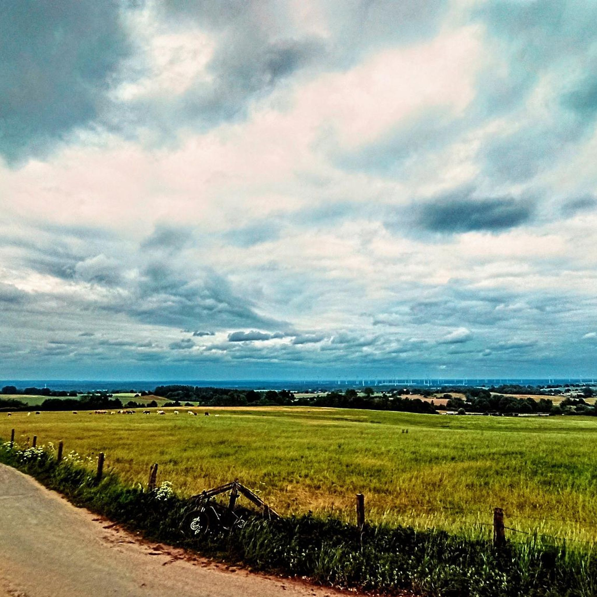
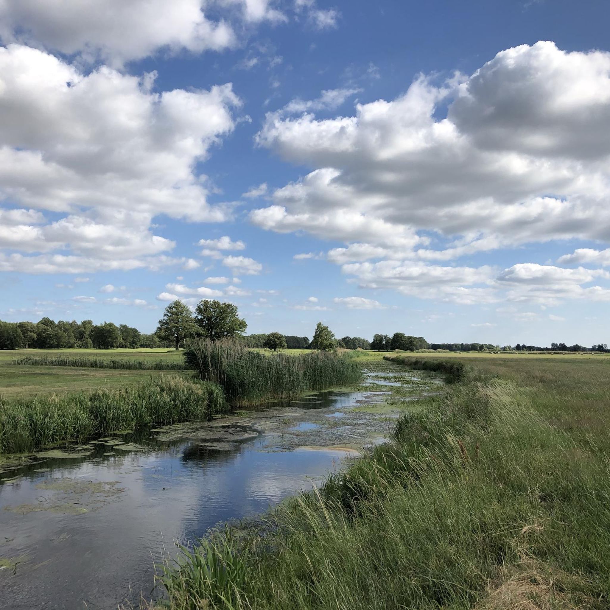
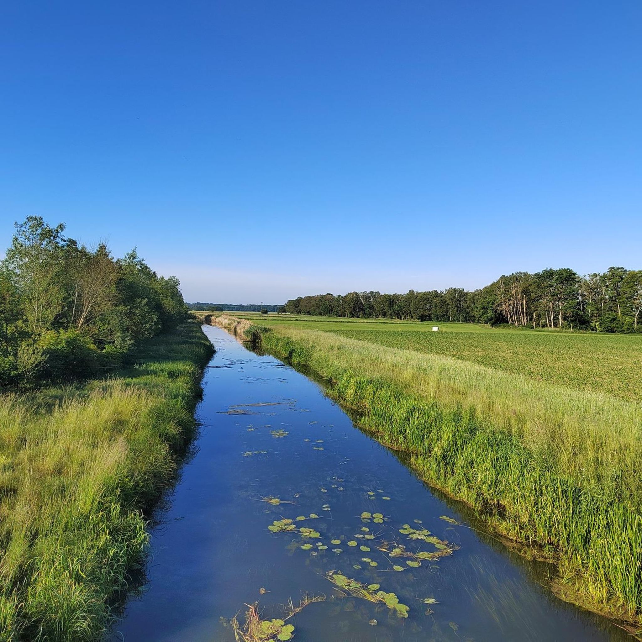
Hiking trails around Pirow offer opportunities to explore the region's natural landscape, characterized by fields and gentle hills. The area features varied terrain suitable for walks and moderate hikes. Hikers can expect routes that traverse open agricultural land and lead to local viewpoints, such as the Ruhner Berge Observation Tower. The elevation changes are generally mild, with most ascents under 150 meters.
Best hiking trails around Pirow
- The most popular hiking route is Ruhner Berge Observation Tower – Path Along…
Last updated: June 28, 2026
4.6
(10)
40
hikers
12.3km
03:18
150m
150m
Moderate hike. Good fitness required. Easily-accessible paths. Suitable for all skill levels.
4.5
(6)
20
hikers
9.35km
02:30
110m
110m
Moderate hike. Good fitness required. Easily-accessible paths. Suitable for all skill levels.

Sign up for free
4.8
(5)
19
hikers
Easy hike. Great for any fitness level. Easily-accessible paths. Suitable for all skill levels.
4.0
(5)
23
hikers
Easy hike. Great for any fitness level. Easily-accessible paths. Suitable for all skill levels.
5.0
(2)
18
hikers
Easy hike. Great for any fitness level. Easily-accessible paths. Suitable for all skill levels.
Get access to more routes and recommendations from other explorers.
Sign up for free
Already have an account?
Our route recommendations are based on thousands of hikes, rides, and runs completed by other people on komoot.
Start today with a free account
Your next adventure awaits.
Login or Signup
Popular around Pirow
Tips from the Community


The stairs from the path up to the tower were steep enough. You don't really need to lug your bike up as well. Do you? - Yes!
1
0

Between KM 8.0 and 8.3 there is the opportunity to run in two federal states on a paved avenue: The state border between Mecklenburg-Western Pomerania and Brandenburg runs right in the middle of the avenue - whoever walks on the left runs in Mecklenburg, whoever runs on the right runs in Brandenburg.
1
0
The area around the namesake of the Ruhner Mountains is a little more open - the former village of Ruhn, which existed until 1982 and is now just a desert area. Apart from a covered monument, there is nothing left to remind us of the former village, where around 149 people still lived in 1949. Since Ruhn is located in a lowland, from here it goes back up to the Ruhner Berg. Thanks to the many cultivated paddocks and pastures, you can get a better view of the hilly landscape than from the forests, because unfortunately the individual mountains in the dense forests can only be glimpsed.
1
0

The village of Ruhn once stood here, giving the Ruhner mountains their name. In 1982 the buildings were demolished; today there is a pavilion here and explains the history of the village.
0
0
Great view from above, but you should be free from giddiness.
0
0
Frequently Asked Questions
What kind of terrain can I expect on hiking trails around Pirow?
Hiking around Pirow primarily features open agricultural land, gentle hills, and fields. The elevation changes are generally mild, with most ascents under 150 meters, making it suitable for walks and moderate hikes.
Are there many easy hiking trails available in Pirow?
Yes, Pirow offers a good selection of easy hiking trails. Out of the 44 routes available, 26 are classified as easy, providing plenty of options for relaxed walks. An example is the Path Along the Fields – Ruhner Berge Observation Tower loop from Marnitz, which is an easy 4.7 km trail.
What are the main points of interest or landmarks to see while hiking in Pirow?
Many trails in Pirow lead to local viewpoints, such as the Ruhner Berge Observation Tower, offering expansive views over the landscape. Additionally, you can explore nearby attractions like the Church in Helle or the Wolfshagen Castle Museum, which are points of interest in the wider region.
Are there any circular walks around Pirow?
Yes, many of the routes around Pirow are designed as circular walks, allowing you to start and end at the same point. For instance, the Ruhner Berge Observation Tower – Path Along the Fields loop from Marnitz is a popular circular route.
What do other hikers say about the trails in Pirow?
The hiking trails in Pirow are highly rated by the komoot community, with an average score of 4.5 stars from over 80 reviews. Hikers often praise the quiet, natural landscape and the well-maintained paths that offer pleasant walks through fields and to local observation points.
How long do hikes around Pirow typically take?
Hike durations vary depending on the route and your pace. Shorter, easy walks like the Ruhner Berge Observation Tower – Rest area at the spring loop from Marnitz can be completed in under an hour, while moderate trails such as the Path Along the Fields – To the observation tower loop from Neu Drefahl might take around 2.5 hours.
Are there any trails suitable for families with children?
Given the generally mild elevation changes and the presence of many easy routes, Pirow offers several family-friendly hiking options. Shorter, circular paths that lead to viewpoints or through open fields are ideal for walks with children.
Can I bring my dog on the hiking trails in Pirow?
While specific regulations can vary, generally, dogs are welcome on hiking trails in rural German regions like Pirow, especially on paths through open fields and natural areas. It's always advisable to keep your dog on a leash and clean up after them to ensure a pleasant experience for everyone.
What is the best time of year to go hiking in Pirow?
Pirow's landscape of fields and gentle hills makes it enjoyable for hiking during spring, summer, and autumn. Spring offers blooming nature, summer provides warm weather for longer days, and autumn brings beautiful colors. The mild terrain also allows for pleasant walks during milder winter days.
Are there any challenging hikes in the Pirow area?
The majority of hikes in Pirow are easy to moderate, characterized by gentle hills and open fields. While there is one route classified as difficult, most trails are accessible and do not feature significant ascents or rugged terrain, making it more suitable for relaxed exploration rather than strenuous climbing.
What kind of views can I expect on the trails?
The trails around Pirow offer scenic views primarily over expansive agricultural fields and the surrounding gentle, rolling landscape. Many routes lead to local observation points, such as the Ruhner Berge Observation Tower, providing panoramic vistas of the region.
How many hiking routes are available in total around Pirow?
There are 44 hiking routes available around Pirow, catering to various preferences from easy walks to moderate hikes. This extensive network provides ample opportunities to explore the region's natural beauty.
Most popular routes around Pirow
Most popular attractions around Pirow

Get inspired with the komoot mobile app


Explore more
Browse the best Hikes in other regions.
