The best road cycling routes in Pistoia
4.4
(732)
21,541
riders
449
rides
Road cycling routes in Pistoia traverse a varied terrain, encompassing picturesque rolling hills dotted with olive groves and historic manor houses, alongside the more demanding ascents of the Apennine Mountains. This region, nestled in Tuscany, provides a network of roads that wind through valleys, past natural reserves, and into the foothills of the larger Apennine range. Cyclists can experience both gentle gradients and significant elevation gains, making it suitable for a range of abilities. The landscape transitions from cultivated areas to dense forests, offering diverse scenery for road cycling.
Best road cycling routes in Pistoia
- The most popular road cycling route is Reno Valley to Ponte della Venturina and Pistoia Hill - Loop, a 43.2 miles (69.6 km) trail that takes 3 hours 51 minutes to complete. This difficult route features significant climbs through the Pistoia hills.
- Another top favourite among local road cyclists is Pistoia, San Baronto, Montevettolini — Round trip, a moderate 29.1 miles (46.8 km) path. This route offers a scenic journey through the Pistoia countryside, including the cycling-renowned area of San Baronto.
- Local road cyclists also love the Femminamorta and Le Piastre Loop, a 26.3 miles (42.4 km) trail leading through the Apennine foothills, often completed in about 2 hours 24 minutes.
- Road cycling in Pistoia is defined by hilly terrains, extensive olive groves, and the challenging ascents of the Apennine Mountains. The region offers a comprehensive network of routes with options for various ability levels, from moderate rides to difficult climbs.
- The routes in Pistoia are highly rated by the komoot community with an average score of 4.5 stars from over 650 reviews. More than 20,000 road cyclists have used komoot to explore Pistoia's varied terrain.
Last updated: October 23, 2026
4.5
(4)
204
riders
69.6km
03:51
1,440m
1,440m
Hard road ride. Very good fitness required. Mostly well-paved surfaces and easy to ride.
4.3
(3)
111
riders
46.8km
02:29
770m
770m
Moderate road ride. Good fitness required. Mostly well-paved surfaces and easy to ride.

4.7
(3)
102
riders
42.4km
02:24
950m
950m
Hard road ride. Very good fitness required. Mostly well-paved surfaces and easy to ride.
4.0
(1)
79
riders
55.8km
03:33
1,470m
1,470m
Hard road ride. Very good fitness required. Some segments of this route may be unpaved and difficult to ride.
4.5
(2)
47
riders
51.5km
03:16
1,490m
1,490m
Hard road ride. Very good fitness required. Mostly well-paved surfaces and easy to ride.
5.0
(23)
702
riders
72.8km
03:34
950m
950m
Hard road ride. Very good fitness required. Mostly well-paved surfaces and easy to ride.
4.8
(17)
412
riders
Moderate road ride. Good fitness required. Mostly well-paved surfaces and easy to ride.
4.8
(16)
395
riders
Moderate road ride. Good fitness required. Mostly well-paved surfaces and easy to ride.
4.5
(6)
347
riders
69.6km
03:26
1,010m
1,010m
Hard road ride. Very good fitness required. Mostly well-paved surfaces and easy to ride.
4.3
(4)
258
riders
102km
05:26
1,950m
1,950m
Hard road ride. Very good fitness required. Some segments of this route may be unpaved and difficult to ride.
Get access to more routes and recommendations from other explorers.
Already have an account?
Our route recommendations are based on thousands of hikes, rides, and runs completed by other people on komoot.
Start today with a free account
Your next adventure awaits.
Popular around Pistoia

Road Cycling Routes around Montale
Road Cycling Routes around Agliana

Road Cycling Routes around Pieve A Nievole
Road Cycling Routes around Montecatini-Terme
Road Cycling Routes around Massa E Cozzile
Road Cycling Routes around Uzzano

Road Cycling Routes around Pescia
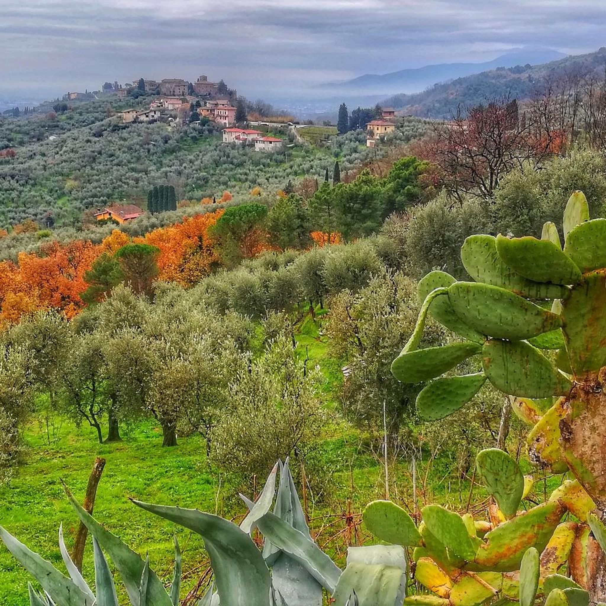
Road Cycling Routes around Buggiano
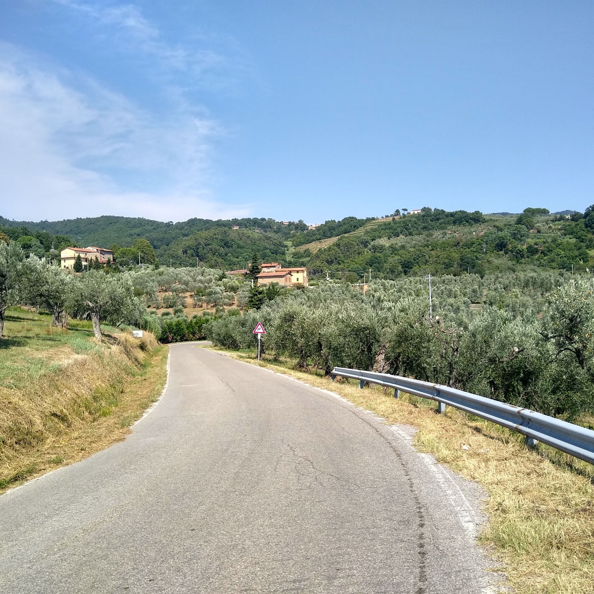
Road Cycling Routes around Monsummano Terme
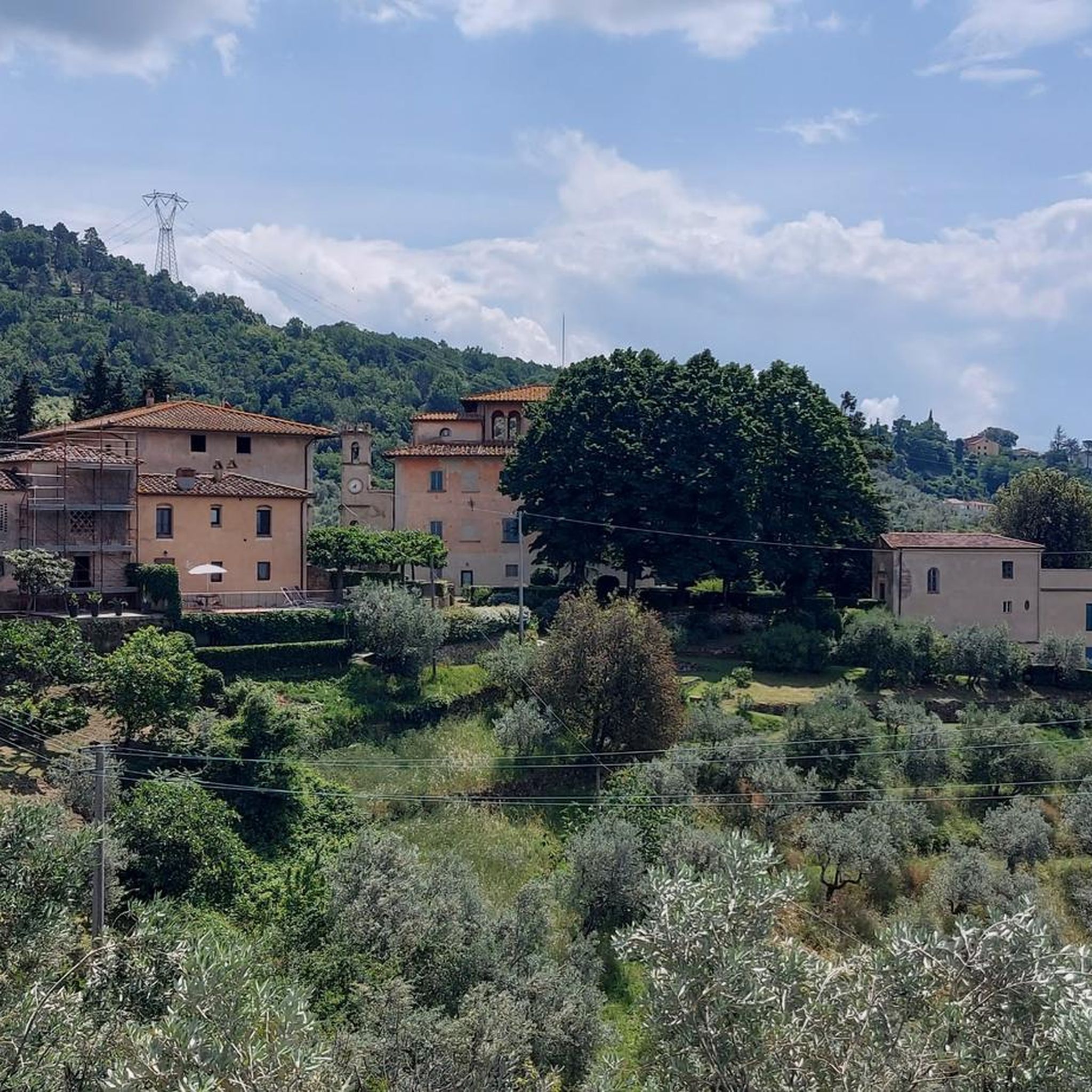
Road Cycling Routes around Lamporecchio
Other adventures in Pistoia


Tips from the Community

The summit of San Baronto is located at an altitude of 349 meters above sea level in the heart of Montalbano, in Tuscany. This hamlet of the municipality of Lamporecchio (PT) is considered the "homeland" and symbol of Tuscan cycling, a historic meeting point for both amateur cyclists and professionals in training. At the top of the climb, the local cycling tradition revolves around two fixed stages: the famous Fontanella (water refill point for bottles) and the passage in front of the Church or the bars at the pass for a classic slice of cake.
0
0
Prato - SF 38 towards Fermont and Calances is a segment of a cycling route (fietspad) mapped on the Komoot platform. The route is part of a loop itinerary that crosses the Tuscan Apennines, starting and ending in Larciano, passing through locations such as Vico and Passo della Femminamorta.
0
0
The scenic road connecting Vinci to San Baronto is one of Montalbano's most famous and spectacular routes, much loved by car drivers, motorcyclists, and cyclists for its harmonious curves and breathtaking views of the Tuscan hills. The main route follows the Strada Provinciale 13 (SP13), known in this stretch also as Via di San Donato, which climbs from Vinci, winding its way through centuries-old olive groves and vineyards, before joining the SP9 to reach the pass and the village of San Baronto.
0
0
The Passo di Pinone (or Valico del Pinone) is a mountain pass at an altitude of 425 meters above sea level, located on Montalbano, in Tuscany, between the provinces of Florence and Prato. It is a highly appreciated spot for road cycling, motorcycle touring, and hiking
0
0

great view with more time to visit the town too
1
0
The Lago del Brasimone (also known as the Scalere basin) is a splendid artificial lake located in the Bolognese Apennines, within the municipal territory of Camugnano. It is situated at about 800 meters above sea level and is entirely included in the Regional Park of the Suviana and Brasimone Lakes.
0
0
San Baronto is a hilly hamlet in the municipality of Lamporecchio, located 349 meters above sea level on the ridge of Montalbano, in the province of Pistoia (Tuscany). The village is a renowned climatic and tourist resort, famous for its relaxing atmosphere, dense vegetation, and suggestive panoramas stretching over the plain below.
0
0
The Towers of Serravalle Pistoiese are the most evident medieval symbols of the fortified village of Serravalle Pistoiese, located in a strategic position that historically controlled the passage between the Pistoia plain and the Valdinievole. The village is famous for its fortifications which include two main nuclei placed at the two ends of the town.
1
0
Frequently Asked Questions
How many road cycling routes are available in Pistoia?
Pistoia offers a comprehensive network of over 420 road cycling routes. These routes cater to various skill levels, with approximately 85 easy, 219 moderate, and 123 difficult options available for exploration.
What kind of terrain can I expect when road cycling in Pistoia?
Road cycling in Pistoia features diverse terrain, ranging from picturesque rolling hills dotted with ancient olive groves and historic manor houses in the immediate vicinity of the city, to the more demanding ascents of the Apennine Mountains. You'll find routes that wind through valleys, past natural reserves, and into dense forests, offering both gentle gradients and significant elevation gains.
What landmarks or points of interest can I see along road cycling routes in Pistoia?
Many routes in Pistoia offer opportunities to see historical and natural landmarks. You might cycle past the historic Cozzile Medieval Village, or discover the impressive Sambuca Castle. Some routes also lead to natural features like Lago Nero (Abetone) or pass by mountain huts such as the Montanaro Mountain Hut, especially in the Apennine foothills.
Are there routes suitable for beginners or less experienced cyclists?
Yes, Pistoia offers around 85 easy road cycling routes. These often traverse the picturesque rolling hills and olive groves around the city, providing a scenic and less strenuous experience. For example, routes through villages like Germinaia and Valdibrana are ideal for a pleasant half-day ride.
Are there challenging routes for advanced cyclists?
Absolutely. For advanced cyclists, Pistoia provides over 120 difficult routes, many of which involve significant climbs into the Apennine Mountains. Routes like the Reno Valley to Ponte della Venturina and Pistoia Hill - Loop or the Climb to Passo dell'Abetone — Ring tour offer substantial elevation gains and are perfect for those seeking a strenuous ride.
What do other road cyclists enjoy most about road cycling in Pistoia?
The road cycling experience in Pistoia is highly rated by the komoot community, with an average score of 4.5 stars from over 650 reviews. Cyclists often praise the region's diverse landscapes, from the tranquil olive groves to the challenging mountain passes, and the less crowded, authentic Tuscan cycling experience it offers compared to other well-known destinations.
Are there circular road cycling routes in Pistoia?
Yes, many road cycling routes in Pistoia are designed as loops, allowing you to start and finish in the same location. Examples include the popular Pistoia, San Baronto, Montevettolini — Round trip, which offers a scenic journey through the Pistoia countryside, or the Femminamorta and Le Piastre Loop in the Apennine foothills.
What is the best time of year to road bike in Pistoia?
Pistoia is enjoyable for road cycling across multiple seasons. Spring and autumn offer pleasant temperatures and vibrant scenery, ideal for exploring both the hills and mountains. Summer can be warm, especially in the lower elevations, but the higher Apennine routes provide cooler conditions. Winter cycling is possible, particularly on lower-altitude routes, but always check weather conditions for mountain passes.
Are there any routes that pass through historical villages?
Yes, Pistoia's road cycling routes frequently wind through charming historical villages. For instance, the Montalbano area offers routes like the "Free Bike Trail from Casalguidi to Serravalle Pistoiese" which passes through ancient medieval strongholds such as Serravalle Pistoiese, offering remarkable views and a glimpse into the region's rich history.
Where can I find parking for road cycling routes in Pistoia?
Parking is generally available in and around Pistoia, especially near popular starting points for routes. Many routes begin from the city center, such as Piazza del Duomo, where public parking options can be found. For routes starting in smaller villages or natural areas, look for designated parking lots or consult local information for specific trailheads.
Are there cafes or places to stop for refreshments along the routes?
Yes, Pistoia's road cycling routes are often dotted with opportunities for refreshment. Many routes pass through small villages like Germinaia and Valdibrana, or larger towns like San Baronto and Montevettolini, where you can find cafes, restaurants, and local shops to refuel and enjoy Tuscan hospitality.
Are there family-friendly road cycling routes in Pistoia?
While many routes involve hills, there are options suitable for families, particularly those with e-bikes or looking for gentler rides. The immediate vicinity of Pistoia features picturesque rolling hills with less challenging gradients, perfect for family outings. These routes often combine paved roads with charming dirt passages, offering a pleasant and accessible experience.
Can I reach road cycling trailheads in Pistoia using public transport?
Pistoia is well-connected by public transport, particularly by train, making it accessible from major Tuscan cities like Florence and Lucca. From the city center, local buses can help you reach various starting points for routes. For specific trailheads in more remote areas, a combination of public transport and a short ride might be necessary.
Most popular routes in Pistoia
Most popular attractions in Pistoia

Get inspired with the komoot mobile app


Didn’t find what you were looking for?
Check out more Road cycling routes throughout Pistoia below and find the perfect route in your destination.
Explore more
Browse the best Road cycling routes in other regions.
