The best mountain hikes in Poloniny
4.8
(147)
931
hikers
25
hikes
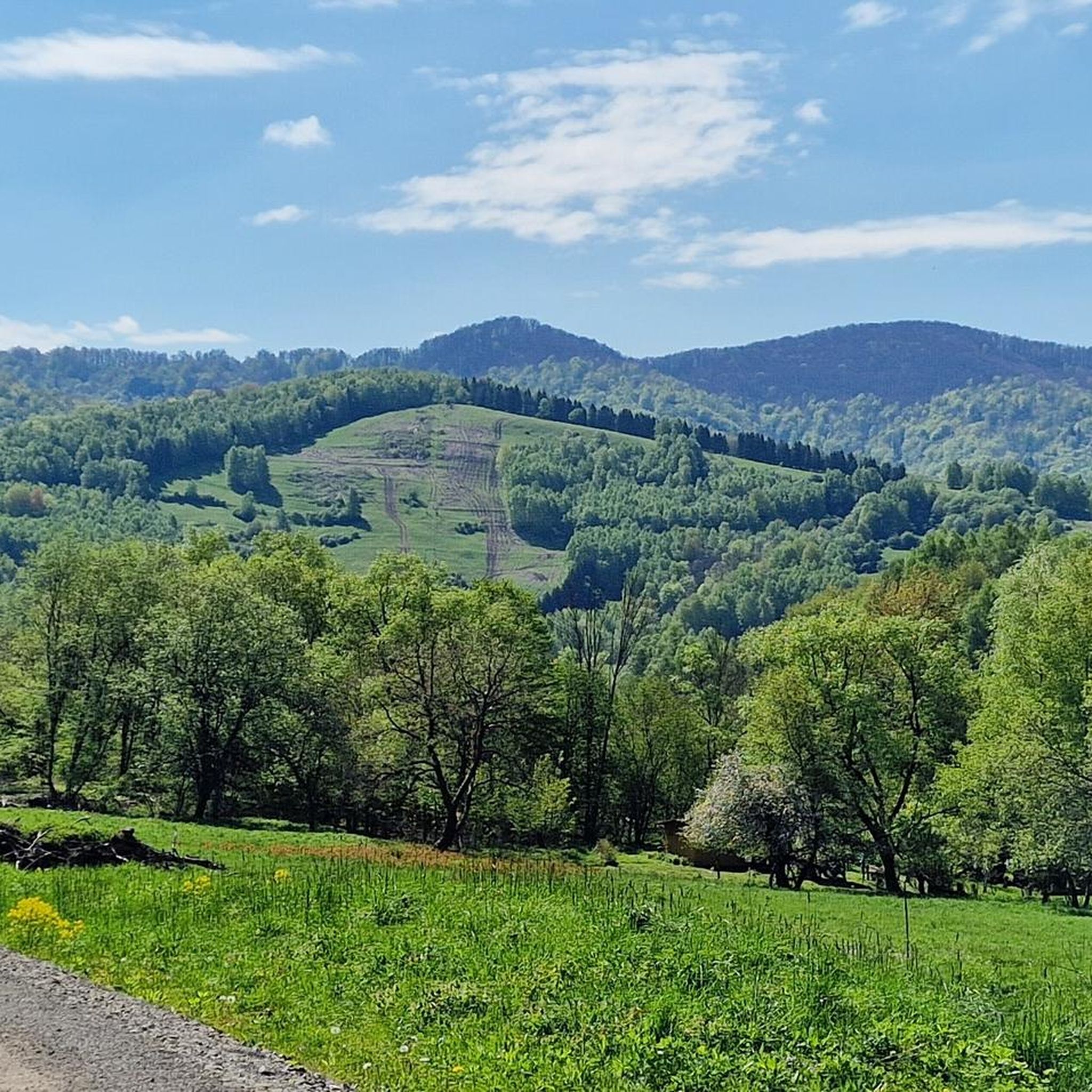
Mountaineering in Poloniny offers diverse routes through the Eastern Carpathian mountain range, characterized by expansive old-growth forests and high mountain meadows known as "połoniny." The region's terrain includes varied elevations, from gentle slopes to more challenging ascents, providing a range of experiences for mountaineers. These routes often traverse national park areas, showcasing the natural landscape of the Poloniny mountains. The area is known for its preserved wilderness, making it a destination for those seeking a connection with nature.
Best mountaineering…
Last updated: July 6, 2026
4.6
(7)
57
hikers
8.59km
03:05
480m
480m
Moderate mountaineering route. Good fitness required. Easily-accessible paths. Suitable for all skill levels.
4.5
(2)
27
hikers
7.83km
02:59
520m
530m
Moderate mountaineering route. Good fitness required. Easily-accessible paths. Suitable for all skill levels.

Sign up for free
4.5
(2)
9
hikers
Moderate mountaineering route. Good fitness required. Easily-accessible paths. Suitable for all skill levels.
13
hikers
7.33km
02:40
460m
460m
Moderate mountaineering route. Good fitness required. Easily-accessible paths. Suitable for all skill levels.
4.9
(32)
140
hikers
21.2km
06:40
800m
800m
Hard mountaineering route. Very good fitness required. Easily-accessible paths. Suitable for all skill levels.
Get access to more routes and recommendations from other explorers.
Sign up for free
Already have an account?
Our route recommendations are based on thousands of hikes, rides, and runs completed by other people on komoot.
Start today with a free account
Your next adventure awaits.
Login or Signup
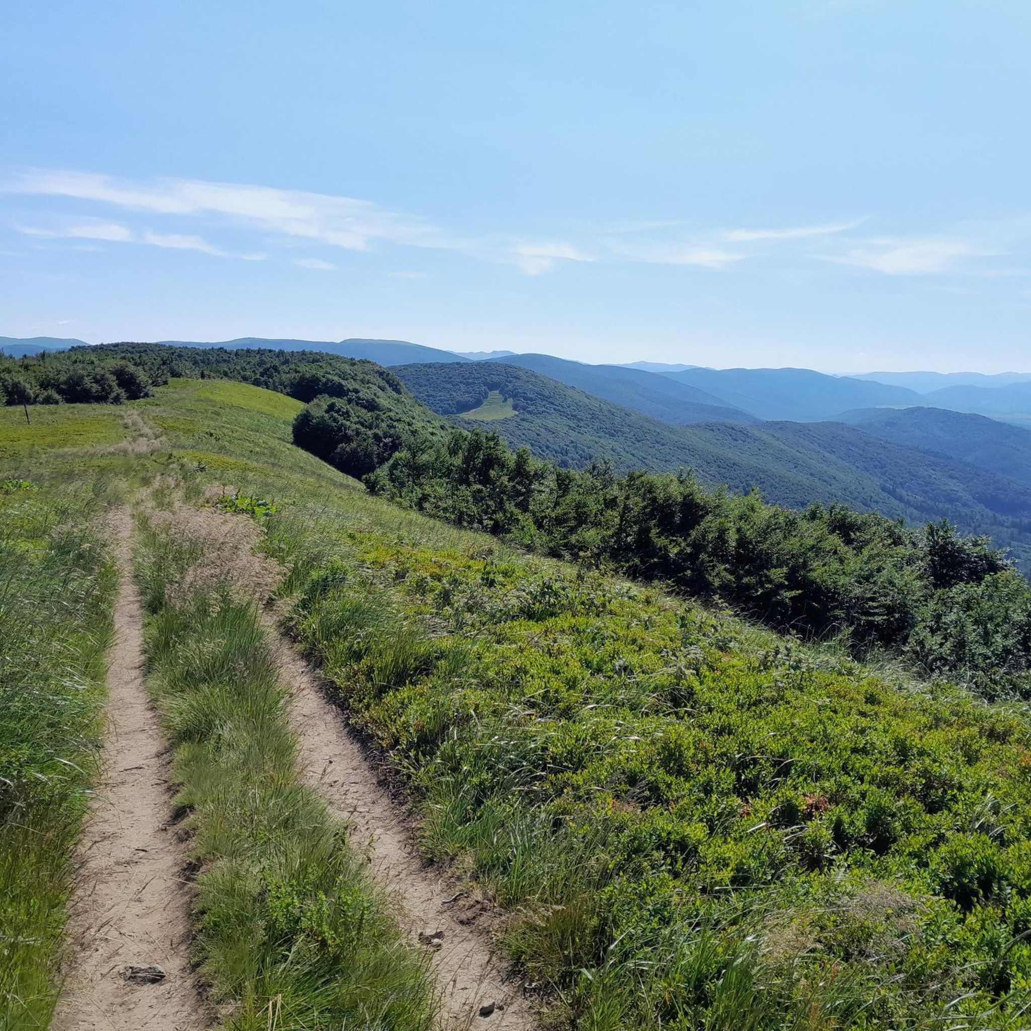
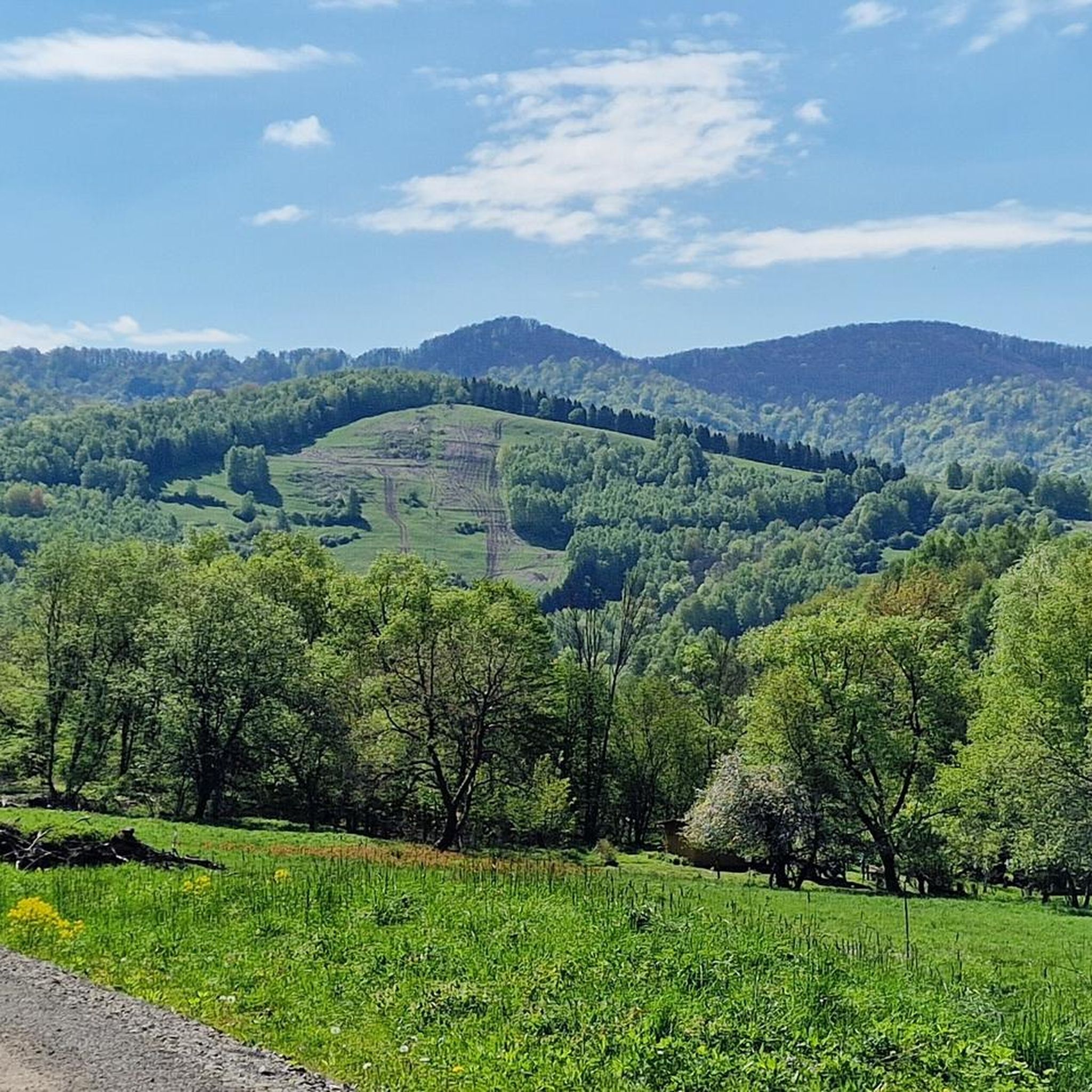
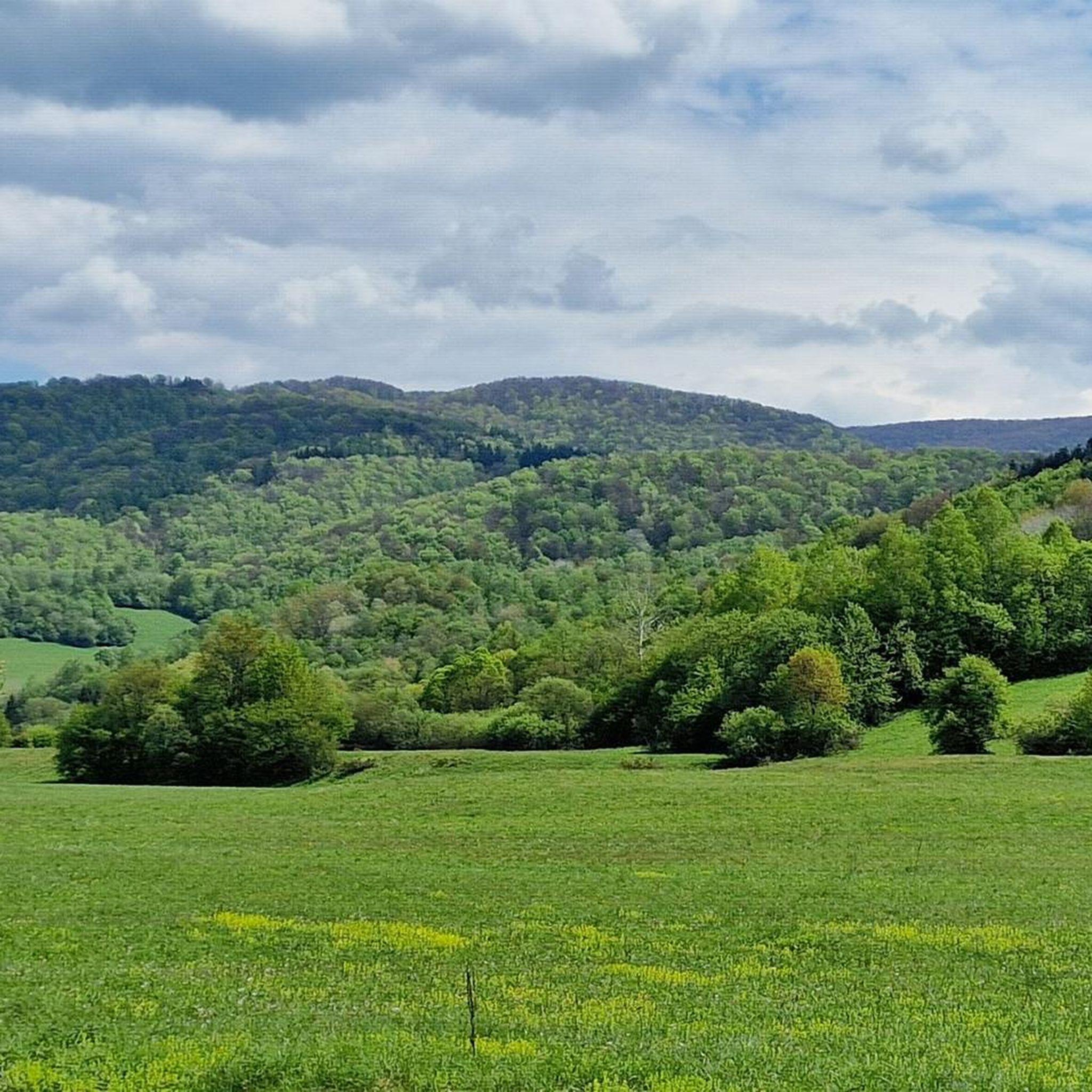
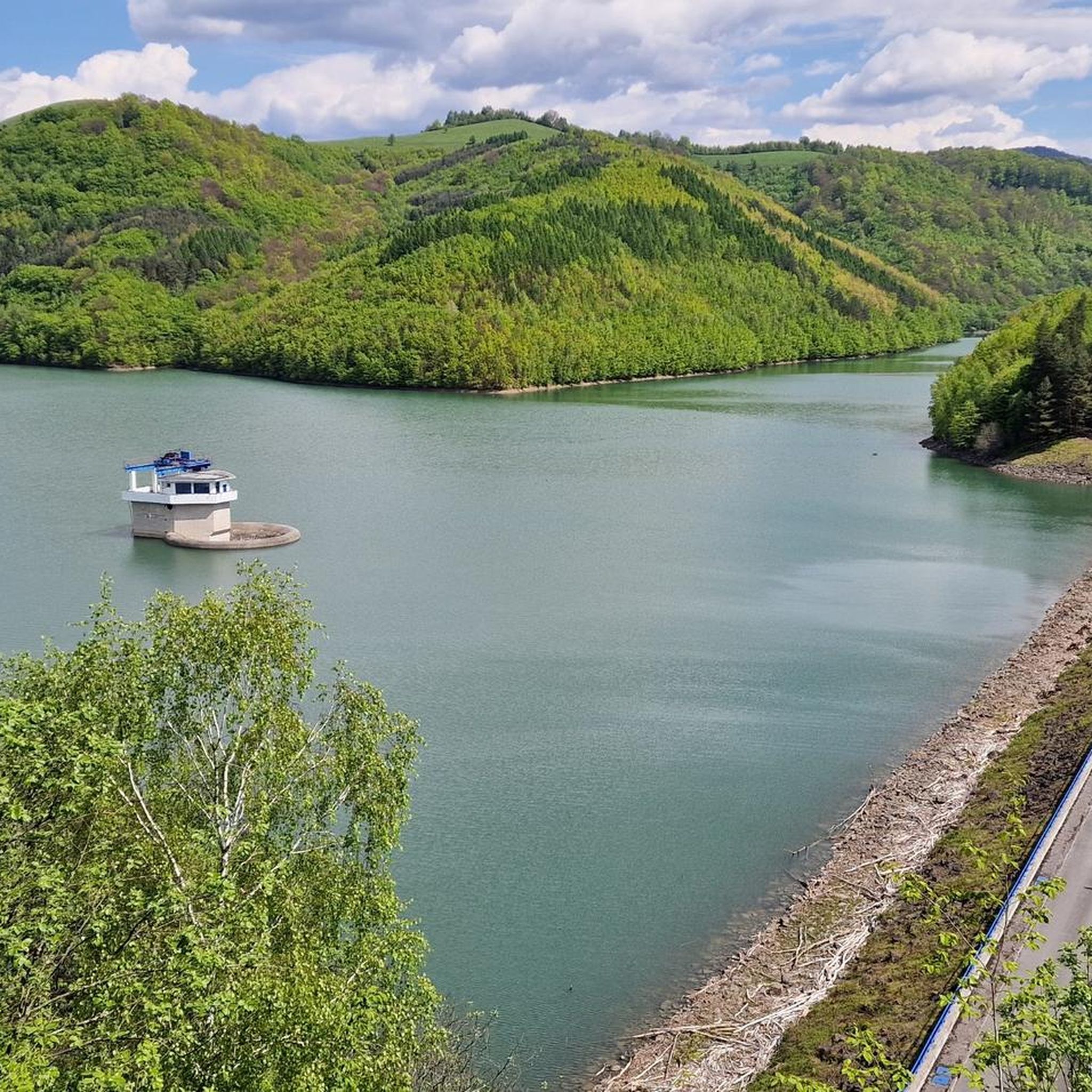

Tips from the Community

Beautiful view of Rawki
0
0
The best view point in the Bieszczady Mountains
0
0

So you've reached Kruhly Wierch, the highest point on Połonina Caryńska (1,297 m). What are those views? From here, you can see the Sanocko-Turczańskie Mountains, Połonina Wetlińska, and the massifs of Mała and Wielka Rawka. A beautiful sight. (There are benches too!)
1
0
This whole area is extraordinary – this mountain pasture offers incredible views of the Bieszczady Mountains. It lies between the Wołosata and Dwernik rivers. From here, it's a short hike to the highest peak in this pasture – Kruhli Wierch (1,297 m). I highly recommend setting off in that direction!
1
0

The view is breathtaking😍
0
0


Beautiful views, in good weather the Tatra Mountains are in the palm of your hand
0
0

For me the old one had that something
0
0
Frequently Asked Questions
Are there any easy mountaineering routes in Poloniny suitable for beginners?
While the komoot community rates most mountaineering routes in Poloniny as moderate to difficult, there are several moderate options that can be a good starting point for those with some hiking experience. For example, the Wielka Rawka – Mała Rawka Peak loop from Bieszczady National Park is a popular moderate route offering panoramic views.
What are the typical lengths and elevation gains for mountaineering routes in Poloniny?
Mountaineering routes in Poloniny vary significantly. You can expect routes ranging from approximately 4.9 miles (7.8 km) to over 13 miles (21 km). Elevation gains typically fall between 450 meters and 800 meters, providing a good challenge for most mountaineers. For instance, the Wyżniańska Pass loop from Bieszczady National Park covers 8.1 miles (13.1 km) with an elevation gain of about 580 meters.
Is parking available at the trailheads for mountaineering routes in Poloniny?
Yes, parking is generally available near the main trailheads and national park entrances in Poloniny. Popular starting points like those near Bieszczady National Park often have designated parking areas, though it's always advisable to arrive early during peak season.
How accessible are Poloniny mountaineering trailheads by public transport?
Public transport options to the more remote mountaineering trailheads in Poloniny can be limited. While some larger villages or towns might have bus connections, reaching specific starting points often requires a car. It's recommended to check local bus schedules in advance if you plan to rely on public transport.
Are there any family-friendly mountaineering routes in Poloniny?
Given that most routes in Poloniny are rated moderate to difficult, truly easy, family-friendly mountaineering routes are less common. However, families with older children who are accustomed to hiking might enjoy shorter moderate trails. Always consider the distance and elevation gain, and ensure your family is prepared for the conditions.
Can I bring my dog on mountaineering routes in Poloniny?
Poloniny National Park has specific regulations regarding dogs on trails. Generally, dogs are allowed on designated trails but must be kept on a leash. It's crucial to check the most current national park rules before your visit, as some areas might have stricter restrictions, especially in wildlife protection zones.
What is the best time of year for mountaineering in Poloniny?
The best time for mountaineering in Poloniny is typically from late spring (May) through early autumn (October). During these months, the weather is generally more stable, trails are clear of snow, and the mountain meadows (połoniny) are vibrant. Summer offers the warmest temperatures, while autumn brings stunning fall foliage.
What kind of wildlife can I expect to see while mountaineering in Poloniny?
Poloniny is known for its rich biodiversity, being part of the Eastern Carpathian wilderness. While mountaineering, you might spot various bird species, deer, wild boar, and if you're very lucky, larger mammals like bears, wolves, or lynx. Maintaining a respectful distance and not disturbing their habitat is essential.
Are there any circular mountaineering routes in Poloniny?
Yes, many mountaineering routes in Poloniny are designed as circular loops, allowing you to start and end at the same point without needing to retrace your steps. Examples include the popular Wyżniańska Pass – Berehy Górne loop from Bieszczady National Park and the Mountaineering loop from Przysłup.
What are some notable viewpoints or natural attractions along the mountaineering routes?
Poloniny offers breathtaking views and natural attractions. You can find stunning vistas from peaks like Wielka Rawka. The region is also home to unique natural monuments such as the Small Waterfall in Stužica and the ancient forests of the Stužica National Nature Reserve. The Krzemieniec Tri-Border Point is another interesting landmark where three countries meet.
What do other mountaineers enjoy most about Poloniny?
The komoot community highly rates mountaineering in Poloniny, with an average score of 4.8 stars from over 150 reviews. Reviewers often praise the region's preserved wilderness, the expansive mountain meadows (połoniny), and the sense of tranquility found within its ancient forests. The diverse terrain, from moderate ascents to challenging climbs, is also frequently highlighted.
Are there any challenging mountaineering routes for experienced hikers in Poloniny?
Absolutely. Poloniny offers several challenging routes for experienced mountaineers. These trails often feature longer distances and significant elevation gains. An example of a more demanding route is the Osadzki Peak – Orłowicz Pass loop from Boroło, which covers over 13 miles (21 km) with an elevation gain of around 800 meters.
Most popular routes in Poloniny
Most popular attractions in Poloniny

Get inspired with the komoot mobile app


Explore more
Browse the best Mountain Hikes & Routes in other regions.
