The best MTB trails in High Tauern
4.6
(13868)
64,203
riders
854
rides
Mountain biking in High Tauern offers diverse terrain across one of Europe's largest nature reserves. The region features majestic peaks, including Austria's highest, the Grossglockner, alongside extensive glacial landscapes and numerous valleys. Riders encounter a mosaic of habitats, from high-alpine environments and glaciers to lush alpine meadows, dense forests, and pristine mountain lakes. This varied topography provides a comprehensive network of mountain bike routes suitable for different skill levels.
Best mountain bike trails in High Tauern
- The most popular mountain…
Last updated: September 27, 2026
4.0
(1)
16
riders
7.55km
01:45
450m
450m
Moderate mountain bike ride. Good fitness required. Suitable for all skill levels.
4.9
(48)
266
riders
22.3km
02:37
1,030m
1,030m
Hard mountain bike ride. Very good fitness required. Advanced riding skills necessary. Some portions of the route may require you to push your bike.

4.5
(28)
144
riders
23.8km
03:26
1,260m
1,270m
Hard mountain bike ride. Very good fitness required. Advanced riding skills necessary. Some portions of the route may require you to push your bike.
5.0
(24)
115
riders
69.0km
06:59
2,870m
2,870m
Hard mountain bike ride. Very good fitness required. Advanced riding skills necessary. Some portions of the route may require you to push your bike.
4.9
(28)
142
riders
31.9km
02:46
550m
550m
Moderate mountain bike ride. Good fitness required. Suitable for all skill levels.
Get access to more routes and recommendations from other explorers.
Already have an account?
Our route recommendations are based on thousands of hikes, rides, and runs completed by other people on komoot.
Start today with a free account
Your next adventure awaits.
Popular around High Tauern
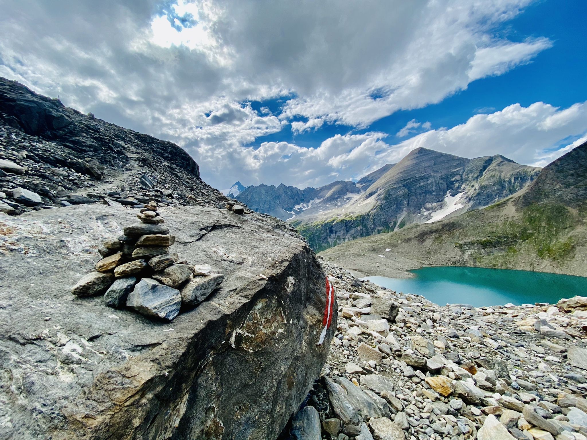
The Tauernhöhenweg – Once across the Hohe Tauern
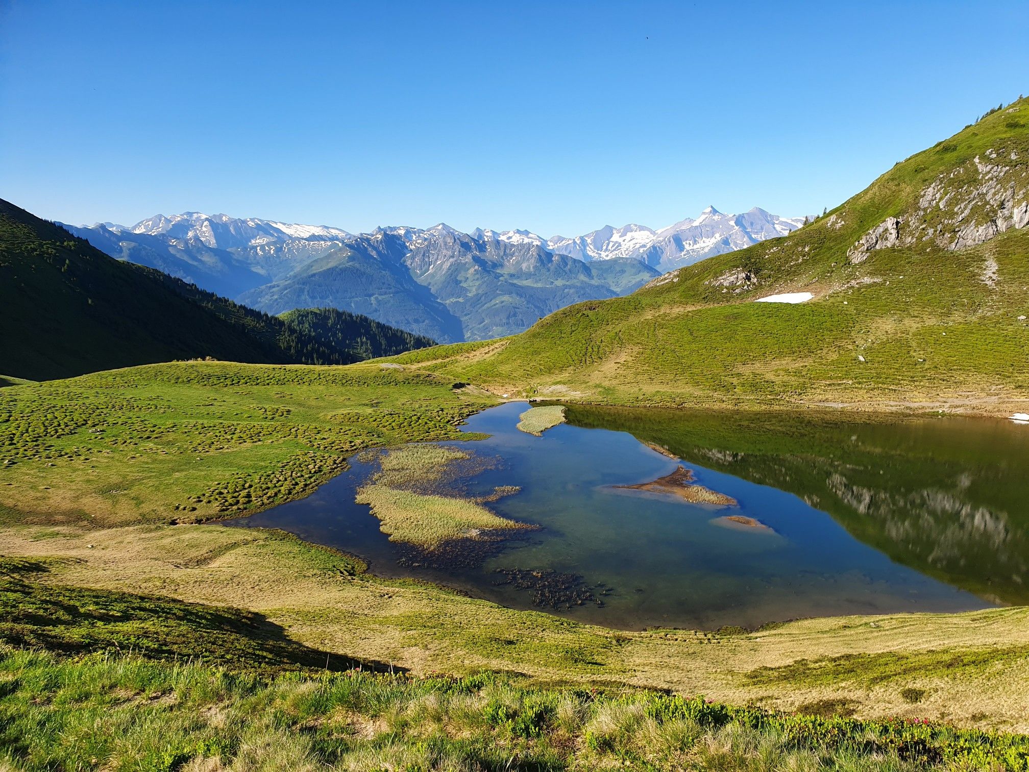
Hohe Tauern Panorama Trail – Face-to-face with 3000-metre peaks
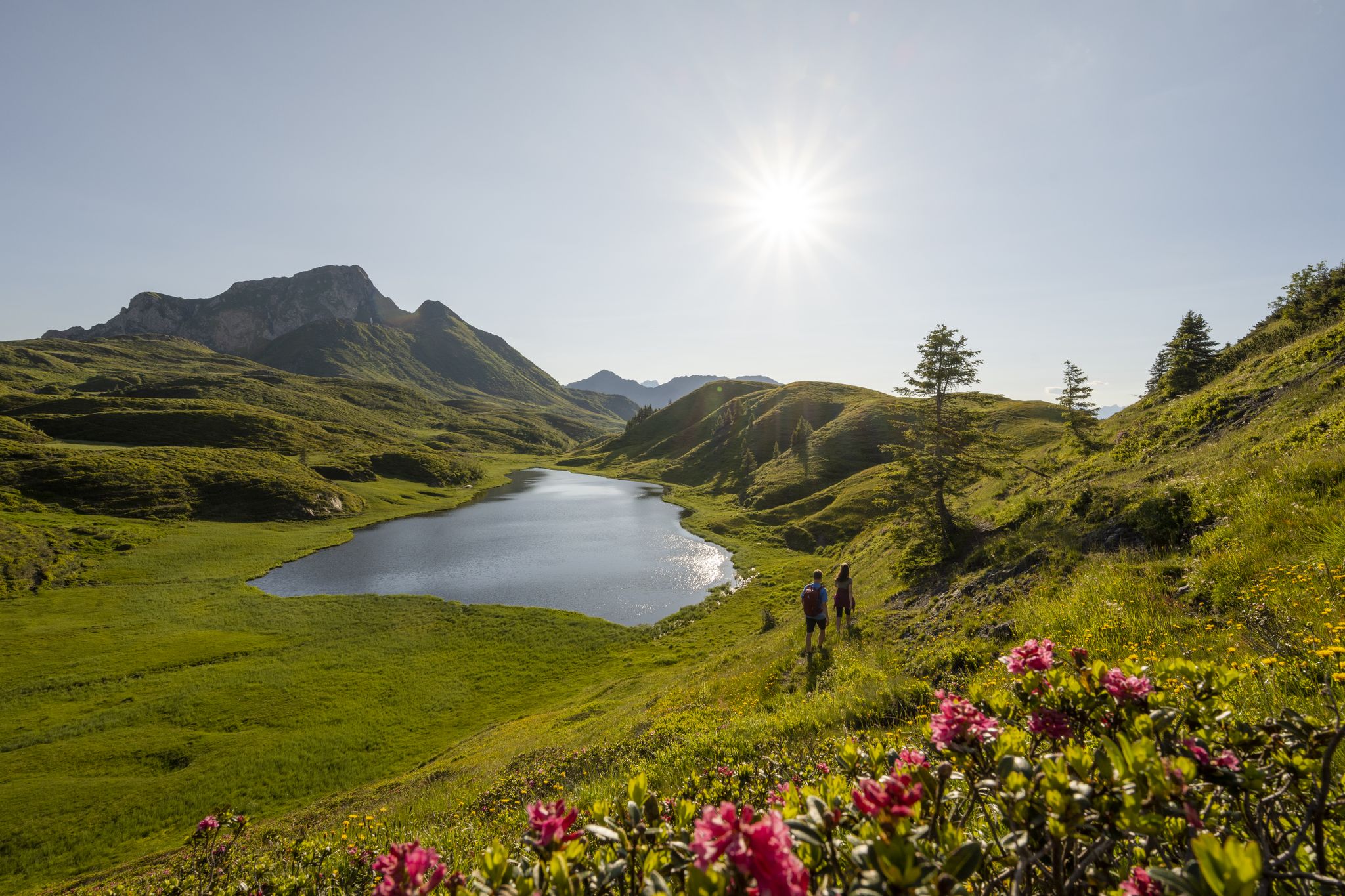
Long hikes on the southern side of the Austrian Alps – in Carinthia

Ruperti Trail – Hike from Austria's Bohemian Forest to the Carnic Alps
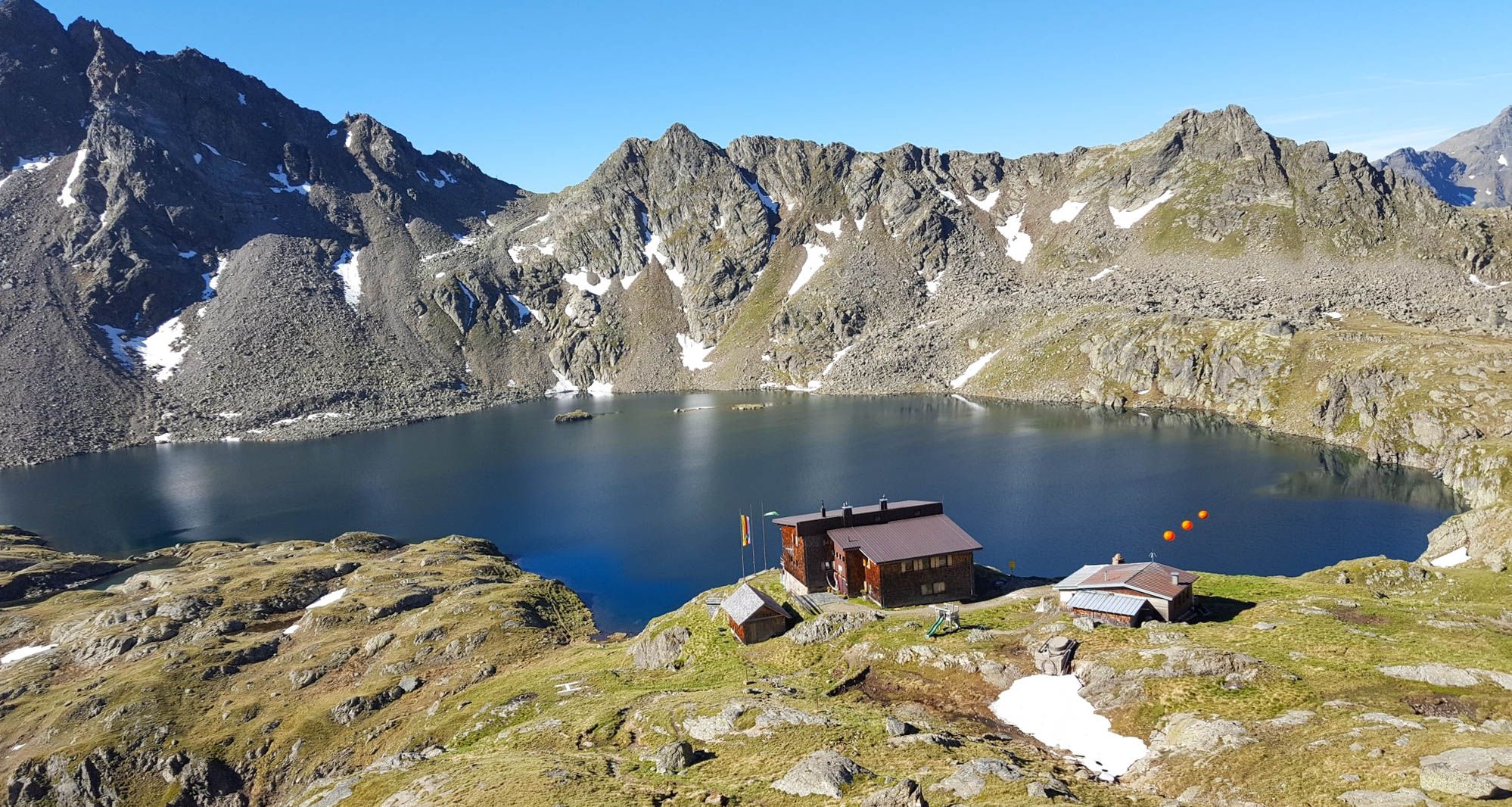
Wiener Höhenweg in Austria – 6 stages in the Schober Group
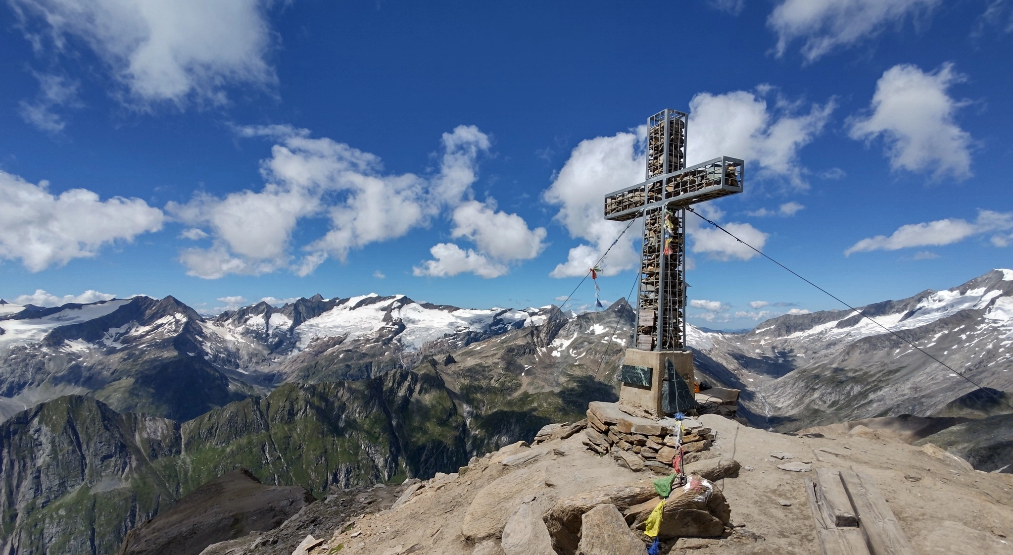
Venediger High Trail – mountain huts and glacial views
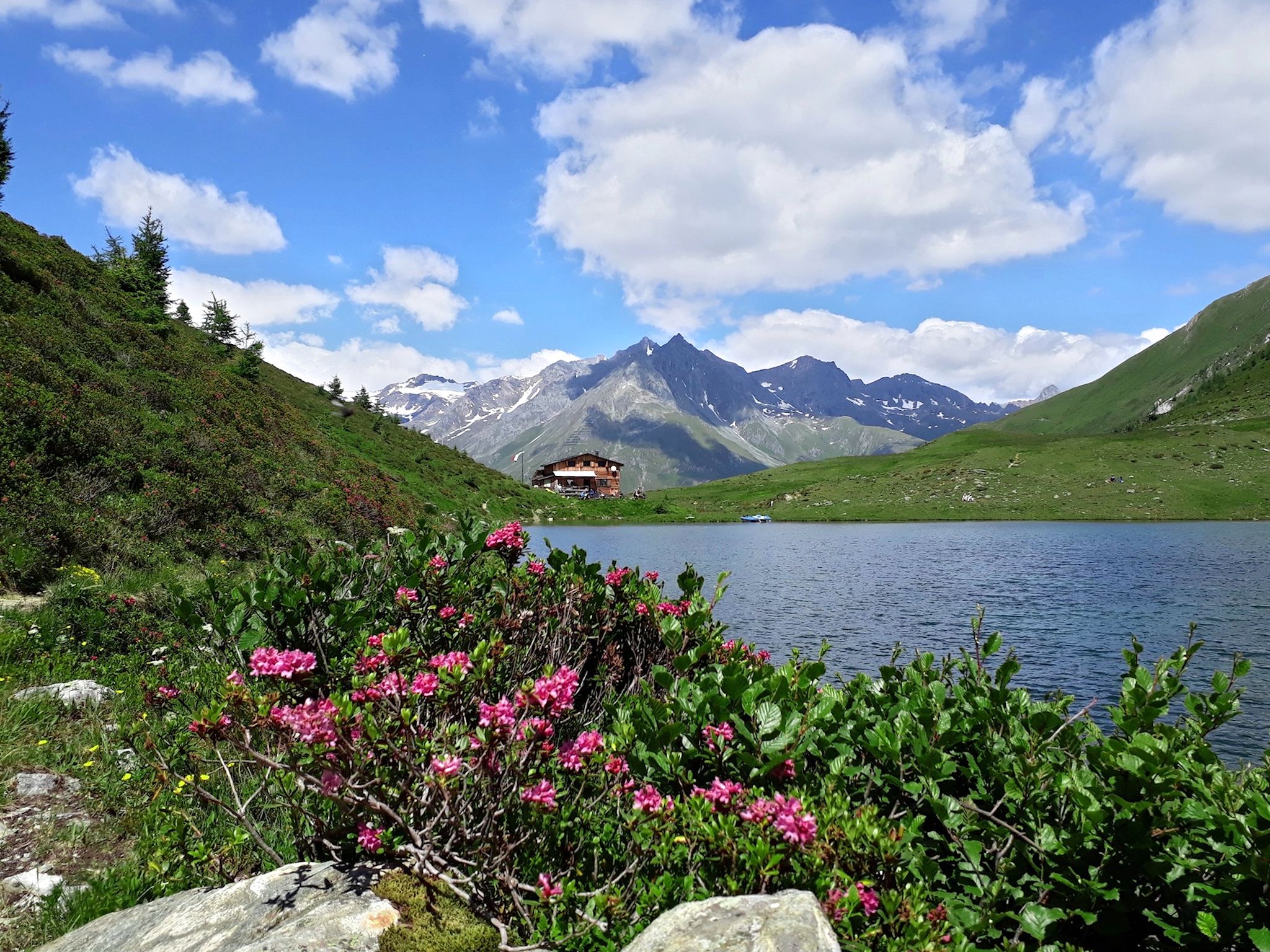
Lasörling High Altitude Trail in Austria – Alpine huts and glacial views
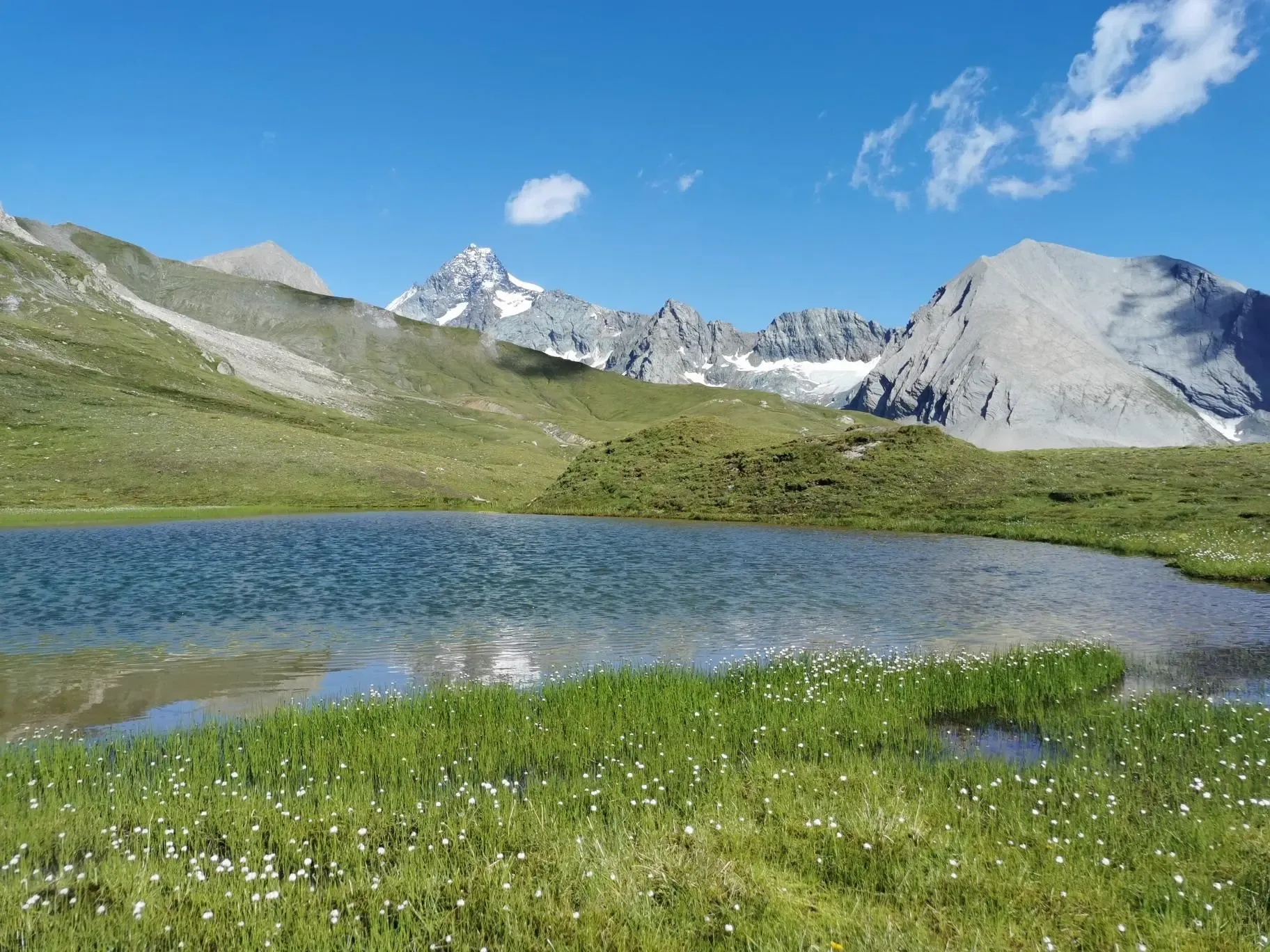
The Glockner Trek – Exploring Austria's highest peak
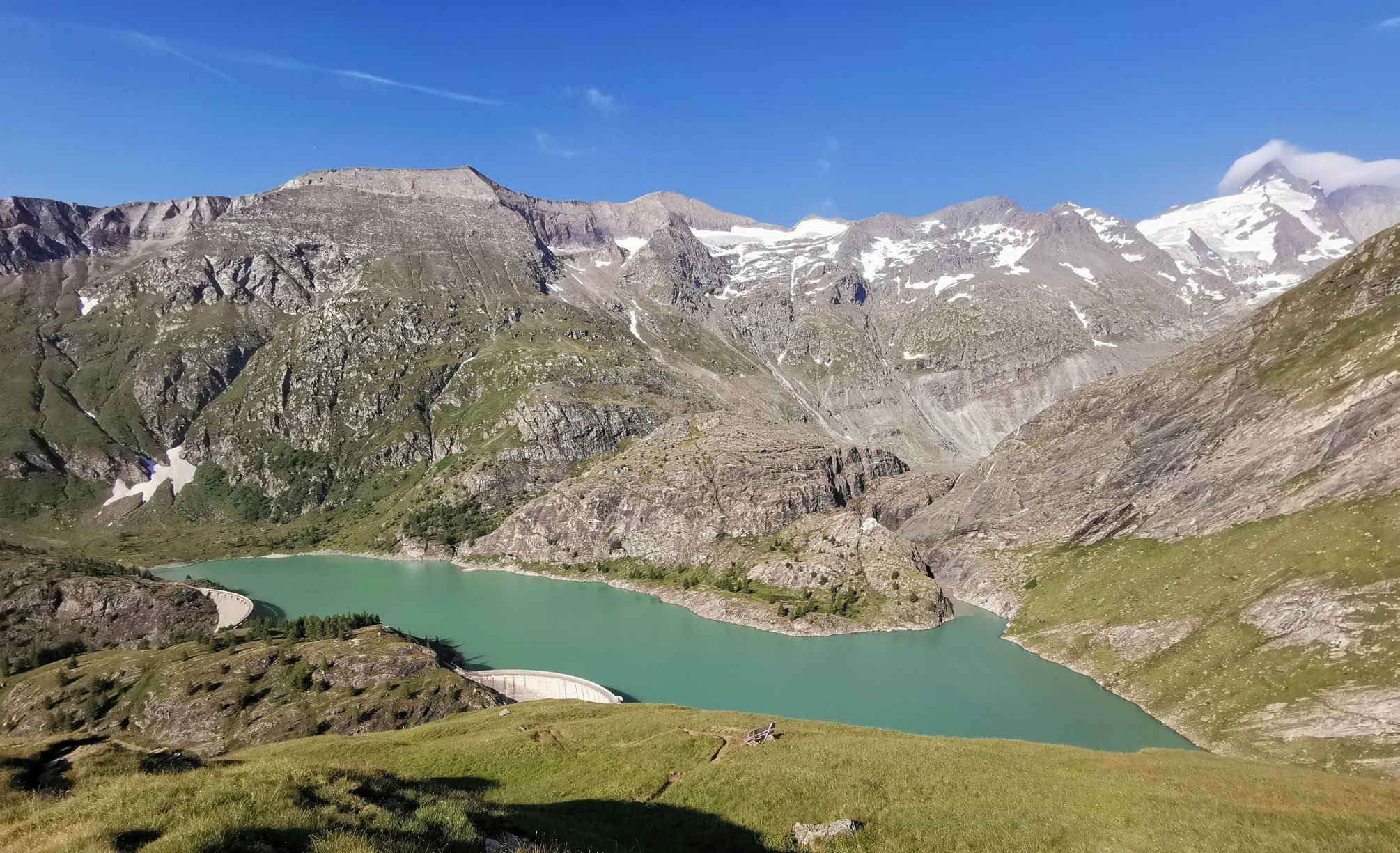
The Grossglockner – Circumnavigate Austria's highest mountain

Alpe-Adria-Trail: My long-distance hike from the glacier to the sea
Other adventures in High Tauern


Tips from the Community

Here, humans become small again and aware of their transience! Simply a dream spot!🤗
0
0

Currently being renovated (27.07.2026) ...
0
0

If there's a waterfall nearby, it attracts us, and this time it was a highlight too, absolutely beautiful.
2
0


The Glocknerwinkel is hard to beat in terms of landscape
0
0
Always a great subject - especially from the Glocknerwinkel region
0
0
A beautiful, easy mountain bike ride up to the Lucknerhaus.
0
0

Frequently Asked Questions
How many mountain bike trails are available in High Tauern?
The High Tauern region offers a vast network of mountain biking routes. You'll find over 880 trails documented on komoot, with a total network spanning over 1,000 km and 40,000 meters of altitude gain. This includes more than 25 dedicated day tours, catering to a wide range of preferences and skill levels.
What are the typical difficulty levels for mountain biking in High Tauern?
Mountain bike trails in High Tauern are categorized much like ski slopes: easy (blue), medium (red), and difficult (black). Easy routes feature wide paths and gentle gradients, while difficult routes challenge riders with rough terrain, steep gradients, and tight curves. Out of the nearly 900 routes, 153 are easy, 375 are moderate, and 356 are difficult.
When is the best time of year to go mountain biking in High Tauern?
The prime season for mountain biking in High Tauern typically runs from late spring through early autumn. During these months, the weather is generally more stable, and the trails are free of snow, allowing access to the full range of alpine and valley routes. Always check local conditions, especially for higher-altitude trails, as snow can persist longer.
Are there family-friendly mountain bike trails in High Tauern?
Yes, High Tauern offers numerous family-friendly options, particularly among its 153 easy-rated routes. These trails often feature wide paths and gentle gradients, making them suitable for beginners and families. The diverse valleys within the National Park frequently provide accessible terrain for a relaxed cycling experience.
What kind of natural attractions can I see along the mountain bike trails?
High Tauern is rich in natural beauty. Many routes offer views of majestic peaks like the Grossglockner summit and the Grossvenediger Summit, glaciers, and pristine mountain lakes. You can also find spectacular waterfalls, such as the Krimml Waterfalls Trail and the Middle Tier of the Krimml Waterfalls, which are often accessible or visible from cycling paths.
Are there mountain bike routes that lead to traditional alpine huts or places to eat?
Absolutely. Many mountain bike routes in High Tauern lead past traditional alpine huts and charming villages, offering opportunities to stop for refreshments and local culinary experiences. For example, you can find huts like the Kalser Tauernhaus or the Glocknerhaus Mountain Lodge along various trails, providing perfect spots for a break.
What do other mountain bikers enjoy most about the High Tauern region?
The High Tauern region is highly rated by the komoot community, with an average score of 4.6 stars from over 12,500 reviews. Mountain bikers frequently praise the breathtaking panoramic views of the alpine landscape, the diverse trail network catering to all skill levels, and the opportunity to immerse themselves in nature, often encountering wildlife like ibex and marmots.
Are there options for e-mountain biking in High Tauern?
Yes, High Tauern is well-equipped for e-mountain biking. The region features a cross-regional bike rental system and numerous e-bike charging stations, particularly along popular routes like the Tauern Cycle Path. This infrastructure makes it an excellent destination for ambitious e-bikers looking to explore the extensive network of trails.
Can I find circular mountain bike routes in High Tauern?
Many mountain bike routes in High Tauern are designed as loops, allowing you to start and end your ride in the same location. Examples include the challenging Lucknerhaus – Lucknerhütte loop from Großdorf, which offers high-alpine scenery, or the Kals am Großglockner – Kals-Matreier-Törl-Haus loop from Großdorf, providing stunning views of the Grossglockner.
What kind of wildlife might I encounter while mountain biking in High Tauern?
The High Tauern National Park is home to a rich biodiversity. While cycling, you might spot various alpine wildlife, including ibex, chamois, marmots, and even golden eagles. The park's diverse ecosystems, from glaciated peaks to lush meadows, provide habitats for a wide array of species, enhancing the natural experience.
Is there information available for planning mountain bike tours, such as route profiles or GPS data?
Yes, detailed route information is readily available to assist with tour planning. This includes altitude profiles, roadbooks, and GPS data for many routes. Komoot provides comprehensive details for each trail, helping you prepare for your ride in High Tauern.
Most popular routes in High Tauern
Most popular attractions in High Tauern

Get inspired with the komoot mobile app


Explore more
Browse the best MTB trails in other regions.
